Midnight… just one of twenty four hours that pass every day.
Except for the fact that midnight is the fleeting moment when yesterday, today, and tomorrow merge into one.Today becomes yesterday while, simultaneously, it becomes tomorrow.
Midnight… December 31… really no different than three hundred sixty four others that pass every year.
Except for the fact that it is the fleeting moment when last year, this year, and next year merge into one.This year becomes last year while, simultaneously, it becomes next year.
Both a little bit of Twilight Zone mixed with a little bit of pixie dust… no better makings for an epic party.New Years Eve contemplation and soul-searching seems to be as much about reflecting back as it is about looking forward.
One year ago Kris and I were on a tiny island in Borneo, Malaysia.The same island we had spent most of the last eight years on.
From the standpoint of managers, we were at the end of our rope.
In the end, I suppose, whether the task was more than two people were capable of doing or whether we bit off more than we could chew personally, is not really relevant.As managers for Scuba Junkie’s Mabul Beach Resort, we put forth the same 150% effort we had demonstrated since arriving in 2009.Our tanks were empty and we simply had nothing left to give.
From the standpoint of being Scuba Junkies for life, we could never have hoped for more.
The invitation extended to us by owners, Ric and Tino, to work as dive instructors at one of the most diverse and amazing locations in the world, was truly the catalyst in building our confidence that we could actually make a living internationally in the dive industry.
Though we were mentally frayed by the end of 2016, the experience we amassed as divers, instructors, residents, and eventually even as mangers in such a remote location was priceless.In addition, we had gained an international network of friends and Scuba Junkie family we could now reach out to, regardless of where in the world we found ourselves.
The mutual decision to up the ante one step further and buy a sailboat rejuvenated our sense of exploration and adventure, strengthened our resolve, and re-energized our ambitions.
Though we had already been studying her online for a year in Borneo (after Swiftsure Yachts first posted the listing), Exit seemed just outside of our grasp, both financially and timing-wise.Kris and I had watched many other boats listed and sold during that time; we fully realized the chances of Exit still being on the market when we were ready were slim to none.And then, as if in a seemingly perfect convergence of circumstances, good fortune, and tenacious ambition, we acquired Exit within only about three months of returning to the States.
Suddenly, we again found ourselves in unchartered territory with a steep learning curve… loving every minute of it!The support of our friends and family make the adventure even more rewarding.
2017 has been an incredible and amazing year… unforgettable experiences coupled with an unbelievable list of firsts for us.Yet, we have only scratched the surface; only sailed part of a single coastline on a planet two-thirds covered by water.
Since climbing aboard her in July, we have always known that Exit would take care of us… she can certainly handle more than we can.But, with every passing day, we learn more.
Shallow draft and deep commitment… we wouldn’t have it any other way.
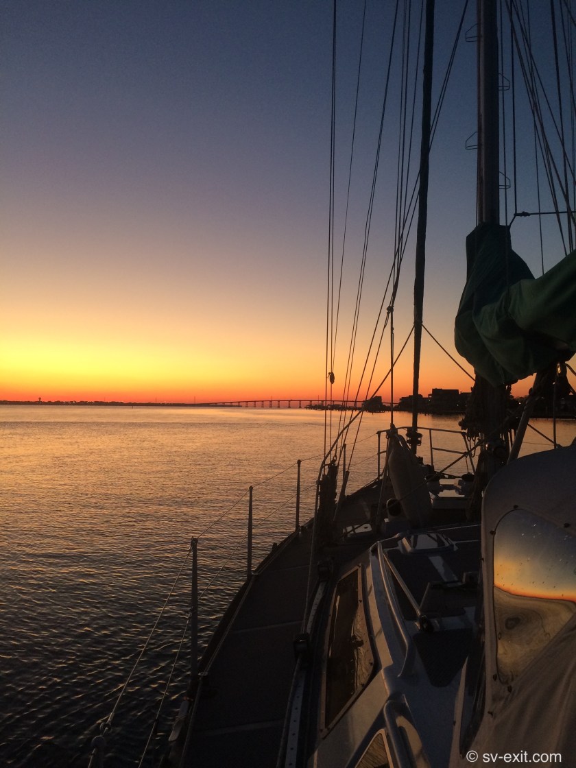
Sunrise at anchor – Charleston, NC (December 30, 2017)
December 30, 2017
The Atlantic Ocean… still awesome, still relentless, still unforgiving.Our first offshore passage (technically possibly more of a coastal passage) had taken us a maximum of twenty miles offshore.We certainly felt a sense of accomplishment; we had been tested in many ways. Yet we recognized these tests had actually been quite restrained in their scope.We still respected Poseidon enough to feel fear during the drama of lowering our mainsail.
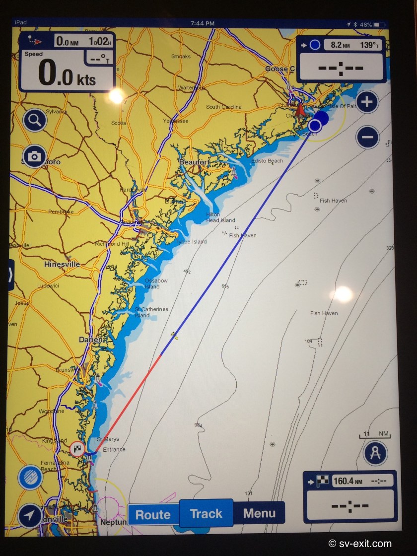
A second offshore passage, just days after our first, hopefully was more a testimony to our enthusiasm than overzealous ambition.From Charleston, SC we hoped to get all the way to St. Marys, GA, just over 150 nautical miles away.
The timing on this voyage would be much more hit and miss regarding how far we could get. Although we expected not to be more than twenty five nautical miles offshore, we anticipated both wind and waves would be facing us much more than following us this time, so we weren’t so confident in our ability to make good time.If progress was too slow, we needed a bailout inlet to fall back upon so we could avoid arriving at St. Marys after dark.
We regretted not having our staysail sorted out on our last passage.Months before, we had set it up once, but never had actually sailed with it.
Last time, we had the benefit of tailwinds, which allowed us to get away with using the genoa sail in winds that, probably, were too strong for that amount of sail.This time, the wind would be in front of us, so having the smaller staysail available could prove invaluable.Better to furl the genoa and utilize the staysail in heavier winds than lose momentum having to sail under mainsail alone, or heel over excessively and get an extra pounding because we left the genoa up too long.We made sure to rig the inner forestay and running backstays, as well as set up the staysail on deck in preparation.
We got up before sunrise so that we would be ready to start pulling up anchor as soon as it was light enough.As the sun began to peak over the horizon, we motored slowly away from the graveyard of sailboats we had anchored next to and headed for the Charleston Inlet… and, once again, the Atlantic Ocean.
Sunrise departure from Charleston
Exit Log:
07:15 – Anchor up at Charleston Bay – 5-8kts of wind but still managed to make 9.7kts with a favorable 3kt current.
09:00 – Outside the inlet channel ahead of time. Engine off; 9-11kts of wind on starboard beam; gently rolling 1ft seas; making 5-7kts
10:30 – Winds dropped to 5-9kts; making 3.5-5kts
14:00 – Winds have picked up to 10-15kts but having trouble maintaining 5kts forward speed as wind keeps closing inside of 30-40 degrees to our bow, plus 1/2 knot current against us.Warm sun and clear skies but wind has a bitter bite and is coming from almost 90 degrees south of where we expected it.
15:00 – Still having to edge 10-15 degrees offshore farther than intended to maintain a sailing angle on these winds.
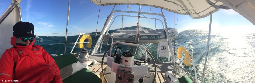
16:30 – Family of dolphins with baby joined us for about ten minutes playing just off the bow… incredible!16kts of wind dead on our bow; to get outside of 30 degrees for sails having to point at the land or the ocean.Furled the genoa and raised the staysail (for the first time under way) in case the wind finally clocks around to the north and potentially increases in strength.
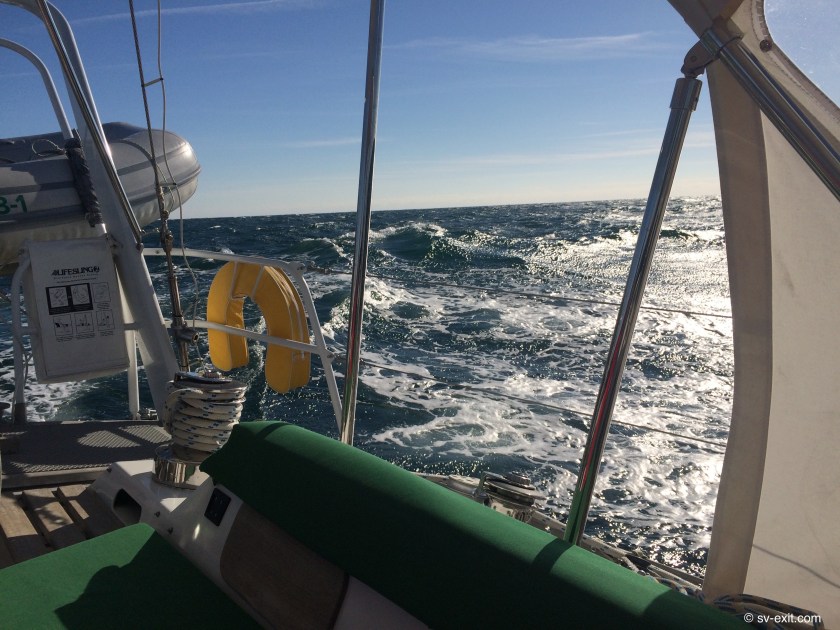
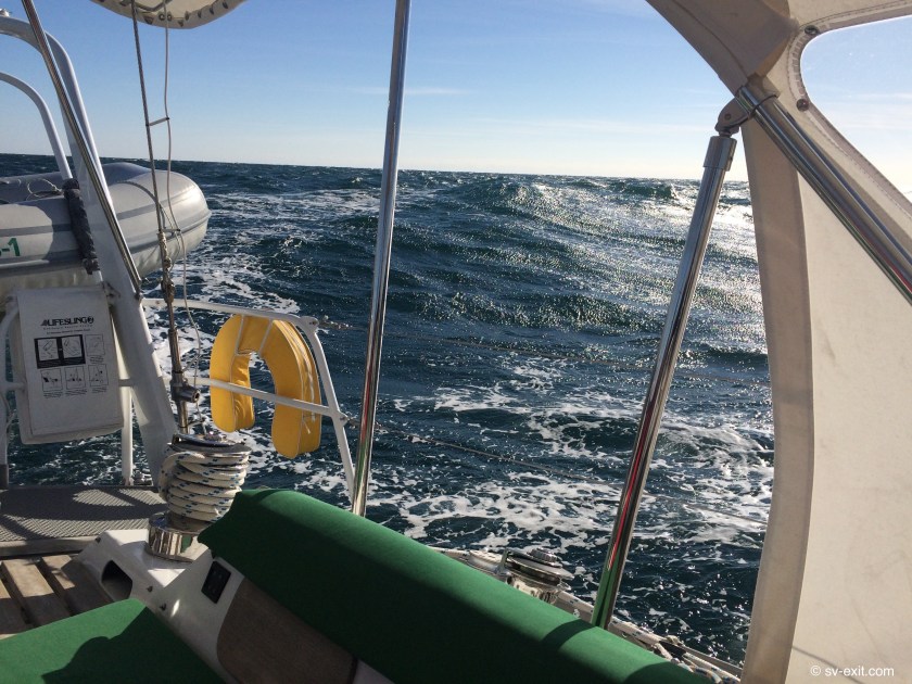
19:00 – Currently 25nm offshore; already 5nm further out than planned.Winds steady at 17-18kts on our bow; seas building but bigger waves still spaced quite far apart.Don’t want to head any further out so having to head for shore to try to improve ourangle – means no forward progress until we tack again.With engine running, still having trouble maintaining 3-4kts, plus 1kt of opposing current has us making only 2.5kts of forward progress.Not sure if we’re feeling the edge of the Gulf Stream or not.
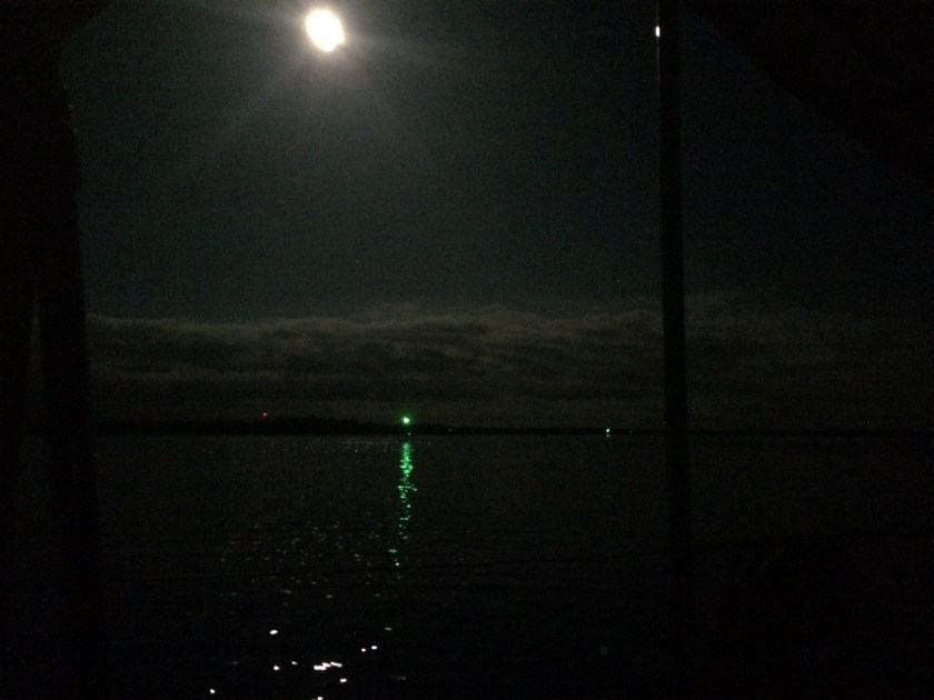
21:00 – Watch change.Just shy of a full moon is creating spectacular visibility tonight.Wind hitting 21kts. Having to reef the main while still needing to motor… crazy!
24:00 – Midnight.Seas are definitely starting to settle down; wind now 13-16kts. Finally our speed indicator is showing 6kts but still losing a knot to current.Keeping motor-sailing for now to try to salvage possibility of reaching St. Marys tomorrow.Not warm but no longer frigid… yay!
02:00 – Mostly rolling seas; wind has FINALLY shifted to starboard beam and dropped to 11-12kts. Now making good at 6kts course over ground even with the 1kt current still against us.Need to shake out the main reef and adjust the staysail at watch change. Lost autohelm connection repeatedly for 30 minutes and apparent wind direction indicator display down (true wind direction still working).
03:30 – Watch change.No more problems with autohelm but wind indicator unchanged. Tightened starboard running backstay and reset staysail tacking block. Wind is now 15-16kts so keeping the mainsail reef in.This moon is amazing; so bright out here!
09:00 – Down to 2-3ft seas and 10-15kt winds; partly cloudy. Making 6kts against 1.2kts of current so keeping everything as is for now.Dead on course for St. Marys.Navionics estimating 6 hours to anchor point; it’s gonna be close. No more autohelm issues but wind indicator unchanged.
11:00 – Seas 1-2ft with only 7-9kts of wind on the starboard beam; current against down to about .7kts. Cloudy and back to colder. Looks like motor-sailing is the only way to make St. Marys before dark.Autohelm acting up occasionally again.
13:00 – Entering the St. Marys Inlet Channel.Dropped sails half hour ago; thankfully a cinch compared to last time. Clear entry and no traffic to speak of; looks like we made it with time to spare.Autohelm dropping out like crazy; shitty timing with the upcoming rivers!
The course plotted by Navionics
*****
After entering the channel, we still had at least two hours further to motor before arriving at the location we planned to drop anchor at.As it turned out, it was a good thing we had the time to spare upon arrival.
We passed through the St. Marys inlet with Cumberland Island National Seashore to our starboard and Fort Clinch State Park to port… Georgia on the right and Florida on the left.The state line runs right down the middle of the river.
We worked our way a few miles up a channel that reportedly has a substantial volume of naval submarine traffic passing through.Fortunately this was not the case today.While it would have been amazing to see, after a thirty two hour offshore passage we were not looking forward to any probable delays that could be caused by the escort patrol ships; we simply wanted to set the anchor and go to sleep.
Eventually, we steered into St. Marys River.Though the river was a third of a mile wide in some places, we had to pick our lines very carefully now.Chronic shoaling due to high tidal exchanges and strong currents meant that, sometimes, even the charted channel had to be skirted around.
We had been getting used to taking into consideration, or at least dealing with, the effects of increasing tides and currents.However, here in Georgia, especially around the inlets at a new or full moon (which would be tonight), tidal currents could reach three to four knots and there would be an eight foot change in the water level between high and low tide.
After 2-3 miles we came upon the North River.We still had about three hours of sunlight left, so we felt we were doing good on time.
We were wary of the North River, which ranged from 200-800 feet wide and snaked back and forth in hairpin curves, but seemed to offer more options for possible anchorages. The problem was that extensive shoaling forced us to remain within a narrow corridor, less than one hundred feet wide in places, that was deep enough to pass through (some of those narrow stretches actually in the wider parts of the river).
As we crept forward, I constantly referenced the iPad in my hands (which was uploading our position onto a digital chart in real time) and relaying the information to Kris.We compared that with what we saw in front of us, and with what the cockpit depth gauge was telling us.
At times we found ourselves having to, literally, feel our way along.Chart depths gave us some idea; however, changes in actual depths due to shoaling were constant.We could find ourselves in water thirty feet deep when the chart told us we should be in twelve feet; or of much more serious concern, find our depth gauge plummeting to five feet while the chart seemed confident we were in fifteen feet of water.Needless to say, our centerboard had already been raised.
We were later told this was the common navigational technique of learning to sail by brail.
After negotiating around a couple of turns and bends, we gave up.Trying to nose our bow (not easy to do on the water with something almost fifty feet long that weighs over 40,000 pounds) into areas that appeared to be adequate depth on the chart, trying get an accurate depth reading on our gauge, proved unfruitful and nerve racking.
With depths greater than twenty feet at low tide, the passable sections of the river were deeper than we wanted to drop anchor in; but the depths shallowed up really quickly.In narrower sections of the river, we were almost on the banks before we reached less than fifteen feet deep.In some of the wider sections, eighty percent of the width of the river dropped to less than two feet.
It seemed that, if we put enough chain out for the channel at high tide, we could be high and dry if we swung over the shallower areas on a dropping tide, which was likely with the current change.
What’s the scoop with scope?
No one has ever told the story of how their boat was saved from dragging anchor because they left extra anchor chain in their bow locker. -Quote from someone smart
Without getting too much into the science of anchoring (I hear that’s what Googly is for), scope refers to the ratio of length of anchor chain (or rope) relative to water depth (plus the distance from the waterline to your deck).For instance, a boat in 12 feet of water (with 3 feet from deck to waterline) that has 60 feet of anchor chain out is at a 4:1 scope (12+3:60 or 4:1).
As a general guideline:3:1 scope or less is, at best, temporary; 5:1 is minimal; 7:1 is typical; 10:1 is conservative (or storm ready).
Too little scope, on even a well set anchor, can cause the anchor to break free of the bottom, resulting in the boat dragging.
If we have the space, even in ten feet of water, I’ll not hesitate to put out 100 feet of chain. An electric windlass to hoist 100 feet of chain, as well as a deckwash hose to get mud off of it, make that decision much easier.
In the end, I’d rather put out more anchor chain than less.The chain isn’t doing you any good in the locker, that’s for damn sure.
So, we decided to delicately do an about-face and head back to the St. Marys River, hoping to find a spot with a bit better feel to it… and ultimately, when you are trusting your home to an anchor chain, it comes down to certain amount of gut feeling to achieve the trust and confidence needed to sleep at night.
We ran into the same problem as we tried to sniff out a spot a couple miles further up the St Marys.It was a low tide and we had to account for the eight feet of depth we would gain, but we just couldn’t get far enough aside of the channel without running out of depth.
Starting to get frustrated, we decided to fall back on an option we had been offered months before.Christian and Mary, the first cruisers to introduce themselves to us when we reached Annapolis on Exit, had invited us to tie up to their mooring ball just upriver from here if we were ever in the area.
We had the coordinates already in our chart plotter.We steered away from the shore and back towards the channel, well before the green marker in front and to the left of us, which we needed to get around to the other side of before we neared.
The current was starting to push upstream much harder with the incoming tide, and we could already feel it pulling Exit along, towards the green marker, as we felt our way back towards the channel, watching anxiously for the number on the depth gauge to start climbing…
…we were mid-river, technically in Florida…
…less than fifty feet from crossing back over into Georgia…
…and then…
…from underneath us, came the dreaded muffled scuffing sound and, subtly felt though unmistakable, physical vibration of our underside sliding across mud, followed by the not-so-subtle cessation of all forward progress.
Despite all efforts, we were going no where in forward or reverse…
…stuck.
Florida had grabbed us and was not letting go… fuck!I’ve always hated Florida.
Many people advise to navigate in areas that have questionable depths at high tide; the idea being that, at that time, you have the greatest depths to work with.The down-side is that, if you get grounded at high tide, you have only moments as the tide is falling to get unstuck.If unsuccessful, you have to wait until the next high tide to even potentially get off.That’s nearly a twelve hour wait, and the whole time your boat is settling into the mucky bottom.
Fortunately for us, we weren’t heeding that advice today (actually, it wasn’t even an option as high tide would be long after sunset today).It was dead low tide.I suppose that may very well have contributed to our being stuck.
However, the up-side was, the tide was about to start rising which meant we would hopefully have enough water under us to move again within about thirty minutes to an hour.
Our biggest concern was not being able to get off the muddy shoal.We were confident the rising water would lift us straight off.Rather, our real concern was that the incoming tide was creating quite a current that would be trying to push us further and further up onto the shoal as the tide rose.
The solution we came up with was simply to drop the anchor with about five meters of chain.We hoped as the rising tide began to set us free, the anchor would hold us in place just long enough to get adequate water under us.We reckoned if we waited a bit longer with the anchor holding us in place, the incoming tidal current would swing us so that we would be facing into the current and away from the shoal – perfect for our escape.
It worked like a charm.Before long, we were back afloat and clear of the shoal.
Except we were running out of daylight. And, after nearly thirty four hours since we had raised anchor in Charleston, we were utterly exhausted.
It was deeper than we wanted, but we said fuck it anyway.We dropped anchor, chucked out as much chain as we had, backed down hard… and didn’t drag an inch… sweet.Within about ten minutes, the sun had gone down.
We had successfully completed our second offshore passage.
It was New Year’s Eve… and we were sound asleep just after 9pm.
The Atlantic Ocean… awesome, relentless, unforgiving.She can entice you with her endless and incredibly hypnotic beauty, but suffers no fools and will smite you in an instant for being careless or brazen.
Our journey from North Carolina to South Carolina would involve our third overnight passage (the first two were between Annapolis and Norfolk in August).At 144 nautical miles, it was almost the same distance as Annapolis to Norfolk.The two biggest distinctions this time would be that we would not have a training skipper aboard; and, instead of traveling within the relative protection of the Chesapeake Bay as before, the course we had plotted from Carolina Beach to Charleston was scheduled to take us twenty miles offshore… our first offshore passage into the Atlantic Ocean.
Carolina Beach, NC
Christmas Eve 2017
We had discussed this at great lengths and fully recognized the gravity of what we were about to undertake.We had no intentions of pursuing foolish ambitions that would put us in danger, yet this passage afforded us a great opportunity to stretch a bit further than we previously ever had, and would certainly test our abilities towards their limits.
Exit would follow a near straight line against the coastline that was gradually arcing away from us.After having traveled fifty miles, we would be approximately twenty miles offshore.Then, for the next fifty or so miles, the coastline would slowly arc back towards us, until it finally converged with our line at Charleston, South Carolina.The weather reports forecasted 10-15 knots of wind, with some gusts to 20 knots, and three to four foot waves expected to subside to one or two feet by the time we reached Charleston… about as good as we could hope for.
We left Carolina Beach just after 10:00am on Christmas morning.We had about four hours of channels to navigate through before reaching the inlet to the Atlantic Ocean and wanted to time the opposing currents to have a minimum impact on us, especially at the mouth of the inlet.We also planned on 24-26 hours to reach Charleston, and we thought it prudent to arrive during daylight hours.This would give us three hours of light before that window and five hours after as a margin for error.
Clearing the mouth of Bald Head Inlet, we exchanged tentative looks.
I asked Kris, “Is everything good?”
She replied, “Everything’s good.”
And, with that, we turned Exit into the wind, hoisted the mainsail and the genoa, and set our course for the Atlantic Ocean.
Xmas cheer from Scuba Junkie Mabul
and Lydia from Komodo
As expected, the wind was right around ten to twelve knots and we estimated the waves that were following us as three to four feet.It was biting cold, but the dodger did a good job of providing protection from the wind coming from directly off our starboard beam.
The space in front of us appeared vast and daunting; yet Exit gracefully rode atop the rising and falling waves that passed under us at a slightly faster speed than we were traveling at.The color of the ocean surrounding us, still not deeper than fifty to sixty-five feet, stood in stark contrast to the waters we had been navigating through previously.The muddy shades of brown, characteristic of so much of the ICW we had begun to grow accustomed to, suddenly had been replaced by a deep, rich blue color that reminded us immediately of Tahiti.
It took a while for both us and Exit to settle in with the sails and rigging trimmed as best we could interpret; but, before long, it seemed we had locked into a groove and found ourselves cruising along solely under wind power at a respectable seven knots of speed.
We had less than two hours of daylight left when we shut off the engine.As the sun began to set, the wind started moving slightly aft and increased to a steady fifteen knots, gusting up to seventeen or eighteen and the seas appeared to be building closer to five and six foot waves.
Night offshore Christmas 2017
Had the wind been forward of our beam, we would have put a reef in the main.Yet, Exit seemed to be riding very comfortably with the current wind direction so we left it alone.However, we were less certain about the genoa.An increase in wind would put the genoa at its limit before the mainsail.We opted to bring it in while it was still light out and both of us were in the cockpit; and still we managed to maintain between six and eight knots.
We continued our two hour watch shifts, with one of us standing watch in the cockpit at all times, until 11pm.Then we each took a four hour shift so the other could get a bit better rest.
By 11pm, the wind had started dropping off substantially.Between eleven and five o’clock it became schizophrenic, shifting continually between five and fifteen knots and moved to almost directly astern of us.The waves calmed, and the time was spent trying to coax as much speed from the mainsail as possible.As the wind fell off to six knots, our speed would drop to three; then, about the time the decision was made to unfurl the genoa, the wind would pick up to between nine and fifteen knots and we would accelerate back to between five and seven knots.
One thing that had been very conspicuous was the complete lack of boat traffic we saw during the entire night.A couple of sailboats and commercial boats in the distance.Not really anyone, which caused us to vacillate back and forth between enjoying the space and wondering if everyone else knew something we didn’t.
At one point, a sailboat identified on our AIS as Petronella, which had been overtaking us but moving further offshore, came within about 200 meters of us for some unknown reason but then veered back away and skirted outside of us for the rest of the passage;nothing else.
We hoped we had either under-anticipated the holiday effect on traffic, or maybe just got our first taste of one of the things that makes offshore cruising so desirable… being a tiny object in a huge space to work within.
By 5am, the wind had begun building steadily.By 7am, when I poked my head into the cockpit, the conditions had deteriorated into a very messy state.The wind, blowing steady at seventeen to eighteen knots and gusting between twenty and twenty-two, was coming from far enough aft to pierce directly into the cockpit, leaving very little space to tuck into for protection.
The waves, which had been forecasted as calming to one or two feet, obviously had not received the memo. Instead, they had gradually built back up and were exceeding anything we had seen so far. Certainly five to six feet, with many that seemed more like at least seven or eight feet. Also, the direction of the waves starting becoming a bit more confused, with most of the waves directed at the starboard side of our stern but some coming almost on the beam.
We had reached a top speed of 9.7 knots, which seemed amazing considering we were running under mainsail alone.We cursed the fact that we hadn’t sorted out the stay sail – this was the perfect passage for it… one more lesson learned and one more thing on the to-do list.Regardless, we were making great time with just the mainsail; averaging seven knots was fine.
As noon passed and we closed in on the Charleston inlet, we started thinking about dropping the main.We envisioned a time, hopefully in the not-too-distant future, when we could comfortably sail onto and off of an anchor point, run narrow channels without relying on the engine, and enter and exit inlets solely under sail power.However, currently our ambitions were to simply get from Point A to Point B without any mishaps.And dealing with only an engine helped to massively simplify these already higher stress and more complicated situations.
The question became when to drop the mainsail?
Charleston’s bay would certainly be much more protected and, consequently, should theoretically provide much better conditions to lower the mainsail in.However, we weren’t sure whether maneuvering might be restricted by traffic and/or space limitations.We also envisioned potential difficulties in the narrow channel approaching the inlet regarding waves, current, and traffic that, under sail, could further complicate matters.
The charts gave us a fair sense of the inlet but it would require actually seeing it to get a better perspective of what we were dealing with (another important lesson learned – look at actual photos of inlets on Google Maps prior to getting underway to have a better impression).But, we wouldn’t know exactly how severe the waves and currents really were in the channel until we were already committed… too late to do anything at that point.
On the surface, we agreed that the safest bet appeared to be dropping the mainsail before entering the channel and motoring in.
Looking around we were less certain of that.
The surrounding waves, ranging between five and eight feet, were bearing down from both behind and slightly to the right of us.Breaking waves created confused streaks of foam and spray, and washed over the top of Exit’s toe rails onto the deck, occasionally even delivering a splash of sea spray into the cockpit.
The digital numbers on the cockpit wind gauge jumped up and down endlessly between fifteen and twenty-one, but lingered around the eighteen knot range.We were running at around seven knots of forward speed.
Both of us were clearly nervous about what seemed to be the two options before us.
Attempting to lower the mainsail facing any direction other than into the wind, especially in higher winds, rarely went smoothly, and often proved disastrous.Either the sail piled off of one side of the boom or, even worse, the battens got hung up in the lazy-jacks and the sail became stuck partway down.
Sill, neither of us relished the idea of bringing Exit one hundred eighty degrees full about into the wind, putting us pounding straight into the rolling five to eight foot waves.The turn would be rough, with the waves temporarily coming straight on our beam.And, once the full force of the wind was pushing against us, we were uncertain whether or not Exit would be able to maintain enough speed to steer over the crests of the waves and out of the troughs.
I was confident in Kris’ ability at the helm, I was confident in Exit’s ability to shoulder through the mess, and I was pretty sure I might possibly be confident about being able to get the main down and secured quickly.
Kris brought us around as quickly and strategically as possible; yet the instability of having the boat roll back and forth with the big swells momentarily coming at our beam was a clear reminder of how vulnerable we were in this orientation. As we came around, the boat regained its side to side stability but immediately began bucking up and down as her bow beganpounding straight into the cresting waves.
We were struggling to maintain three knots… just enough to keep forward steering.No longer riding the wind, our wind indicator now revealed the true speed of the wind coming at us, which was reaching twenty five knots.
It was now or never.I shimmied out onto the deck and tucked into the granny bars next to the mast.As I struggled with a tangled main halyard, Exit crested over a large wave and descended into the trough on the other side.
Kris later recounted how, from the cockpit, she watched wide-eyed as we came down the back of one wave, the top of next the wave beyond looking taller than me standing on deck.As we slid down the back of one wave, Exit’s bow submarined into the base of the next wave.
Water cascaded over the bow and washed across the deck, giving me my first proper baptism in the Atlantic.I grabbed ahold of the mast and realized at this less-than-opportune moment just how wise having a tether would be… that’s one we’ll definitely file away for next time.
With the main halyard finally untangled (having the mainsail stuck halfway down would have been a catastrophe), the sail dropped quickly and relatively cleanly.A couple of sail ties secured the main until we could go back and clean things up after dropping anchor.
Bedraggled, but ultimately still mostly dry under my foul weather gear, I climbed back into the cockpit.The expression on Kris’ face was crystal clear… she was not enjoying this portion of the passage.
Kris brought us decisively back around so we were once again running with the waves.Suddenly, this way didn’t seem so heavy after all…
We motored into the channel and, ironically, encountered minimal wind and waves, as well as no traffic.We entered Charleston Bay and found even calmer conditions, plenty of space to bring down the mainsail, and almost no boat traffic… lessons learned.
Charleston only has one real anchorage area.It made that decision easy.
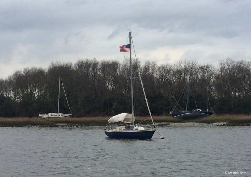
As we approached, it looked as though most of the ten or so boats at anchor or mooring were unoccupied.Much more dramatic was the exposed top spreader and mast of a sunken sailboat we passed by, as well as three sailboats which lay awkwardly aground on the shore of a nearby island.These were the broken victims of, and crushed dreams left by, Hurricane Irma.
Anchoring was becoming more and more challenging as we progressed further south down the coastline.Four to five foot tides here would produce two knot currents, shifting one hundred eighty degrees in direction four times a day.Consequently, we would find ourselves swinging around on the anchor chain in a current-controlled “figure eight” pattern, instead of swinging in a typically limited arc dictated by wind direction as we had previously experienced.
We were careful to make sure the anchor was fully set even though we both felt the fatigue of our twenty eight hour passage.
The biting cold of the wind had undoubtably taken its’ toll on both of us.Yet, had we been beating into the wind, the conditions certainly would have been exponentially more brutal.
As for learning experiences, it’s hard to quantify all the information we were exposed to in a day and a half –from epiphanies and moments of clarity, to a much harder to grasp sense that we were finally beginning to gain some level of understanding of the many subtleties required to even begin to approach harnessing the full potential of Exit.
We had successfully completed our first offshore passage.Our 144 nautical mile overnight journey clocked in as our longest nonstop voyage yet; and I would imagine that twenty two hours under sail-power alone will hold it’s place in the Ashby record books for quite some time.
Once again, it had been demonstrated that Exit could handle much more than we could.
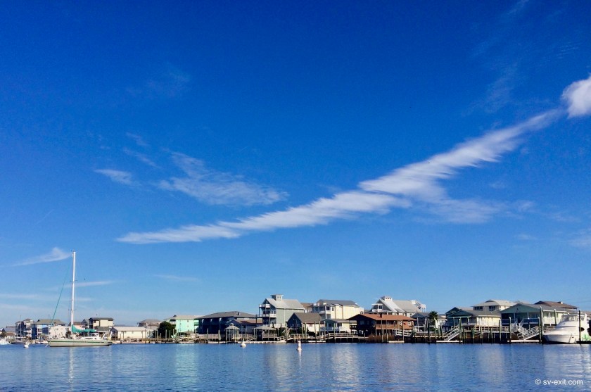
Wrightsville Beach ended up being a four day stopover.We hadn’t been off the boat in about ten days so it was well overdue; plus we needed to do some prepping for the following week. On the 19th we needed to take Exit eleven miles south to Carolina Beach where we could secure her on a mooring ball in a very protected area.
Wrightsville Beach
Wrightsville Beach
We hadn’t spent a single night off of Exit since we moved aboard her on July 5th, just over five months ago.Now, the plan was to leave her tied secure to the mooring ball and set off in a rental car with James and Dena on a four day road trip to New York City.
Exit on a mooring ball at Carolina Beach, NC
We had longed to sail there… sailing under the Brooklyn Bridge and anchoring next to the Statue of Liberty seemed like an incredible experience.However, it just wasn’t in the cards for this year.So a road trip with James and Dena, who had lived in NYC, seemed like a great alternative option.
The only thing was, we weren’t sure what seemed more daunting and intimidating – leaving Exit unattended for four days or the thought of trying to drive our share of East Coast miles in a rental car.Driving was something we had almost completely foregone over the past decade; ironically, it now seemed more stressful than navigating a forty two thousand pound boat!
Despite any trepidations, we made it to the Big Apple unscathed.
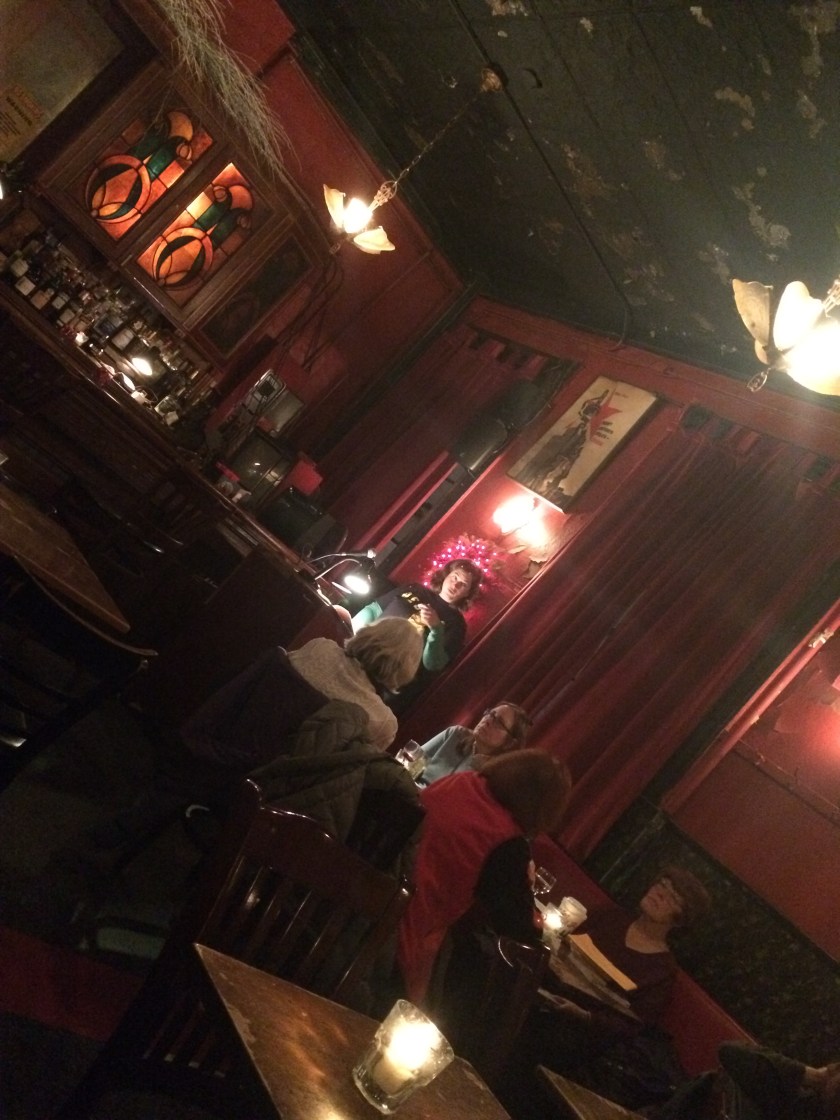
The primary purpose of the road trip was to attend Dena’s reading of a book she had just finished.Quite a major event for any author; though she has published many books and is already a veteran of many previous readings.
Dena’s reading at KGB
The fact that the reading was taking place in a lesbian bar called “KGB” only added to the unique ambience of the whole situation (we were already leaving our sailboat we had purchased only five months ago tied to a mooring ball to go on a road trip to NYC with good friends we had only met in August).
Once we settled in our Air B&B accommodations, much larger and more comfortable than any hotel that would have cost far more, Dena and James were stars taking us to all the places James reported “he had spent years, while living there, trying to avoid!”
The rental apartment
Just outside the front door
Window view
Having lived in New York and being very familiar with getting around, they made things extremely easy.
It would have been amazing to sail into NYC.I can’t imagine a more iconic and representative scene reflecting our current situation than us aboard Exit, at anchor, next to the Statue of Liberty.
But, then again, walking along the frigid streets of pre-Christmas Manhattan, drinking Kraken rum from a bottle in a brown paper bag is certainly an iconic scene as well… perhaps just a bit more Brooklyn in its’ accent.
By the time we reached Oriental, we had experienced enough navigating through ICW channels to satiate our appetite for as far as we could see into the future.Though we couldn’t wait to press forward, ironically enough, it was the open spaces and infinite number of isolated bays and river anchorages in the Chesapeake that we sincerely started to miss.
If a black-hearted blue water cruiser were cursed by the Devil, and banished to spend all eternity sailing an endless maze of narrow channels fighting tides, currents, limited anchorages, and negotiating bridges barely taller than the mast, that sailor would be sent to the ICW south of Oriental, NC.
We spent only two nights at Oriental and never stepped ashore.Just enough of a pause to meet up with with James and Dena, who we finally managed to rendezvous with for the first time since we were stranded with a broken raw water pump in Virginia, to talk about possible plans and drink far too much Kraken rum.
From Oriental, we made a small leap to Morehead City.With limited anchorages available and bridge schedules always affecting progress, we find ourselves often having to stop ten or fifteen miles short of where we’d like to get to, or having a ten hour day that stretches from sunup to sundown in order to make forty or fifty miles.
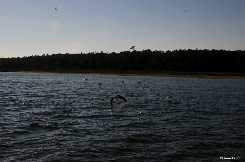
Pelicans outside Morehead City
Currents, which are now reaching three knots both with and against you at times, as well as tidal changes of five feet that can control our ability to cross under bridges are always having to be taken into consideration.It is an immense difference from our initial experiences in the Chesapeake Bay area where tides and currents were almost non-existent.
Nonetheless, this is good as well as comparatively benign training for what is to come ahead.As we push farther south, currents will reach five knots at times and tides will change by as much as nine feet which will have profound impacts on our ability to safely move at times and anchoring location choices we will have to make.
It turned out to be good fortune that we arrived at Morehead City early. Just prior to reaching the city was yet another bridge with 65 foot clearance, and the present high tide put our mast within one foot of that… too close for us.We needed to turn around and wait until the tide dropped a bit.
Another 65 foot bridge
This gave us time to check out a potential spot to anchor we had just passed up.The location we had scoped out earlier on the charts turned out to be far too small for us to be able to put out a reasonable amount of chain; in fact, it was barely wide enough to get turned back around in! But it did take us long enough that, by the time we got back to the bridge, the tide had dropped enough for our psychological wellbeing to proceed.
The only other option for anchoring was off a channel between Sugar Loaf Island and the marinas on the opposite shore.It was a quite limited area and already had eight boats occupying space there, two of which were wrecks on the shore and two sat at anchor, barely afloat, decks covered with bags and possessions that looked like they had sat for months.Derelict corpses, they now served only as depressing memories in the aftermath of Hurricane Irma.
Trying to stay well away from the other boats, we ended up testing the limits of our draft by anchoring in a spot that put us swinging in three knot currents into an area that dropped to only four feet deep at low tide.While sitting only six inches above the bottom didn’t do much to help us sleep that night, it did wonders to boost our deep commitment to Exit’s shallow draft.
Anchored off Sugar Loaf Island
Anchor up first thing in the morning and, once again, we were pressing forward in North Carolina.It would have been nice to spend more time going ashore and exploring more of the surrounding towns and their histories, but the end of the year is bearing down on us.
Our late start has meant we need to forego a lot of sidetracking options as we pass from state to state down the East Coast, but we can feel the December weather becoming more and more hostile.Good weather windows seem to be farther and fewer in between.The weather here is certainly better than what Annapolis is currently facing.Still, there is no doubt that the cold is stalking us from behind; and often it seems to be overtaking us.
The destination by day’s end was Mile Hammock Bay, a truly unique anchorage.It was a long day of motoringbetween red and green markers… straight… red and green markers… turn… red marker… straight… red marker… straight… green marker… straight… on… and on… and on.
And bridges… always the bridges.Even more difficult to work around than bridge clearances are scheduled bridge openings.If you have the luxury of a requested opening, then no problem.But many of the bridges will not open during morning or afternoon rush hours, and many more only open every half hour or even only on the hour.
There is a lot of estimating and guessing involved in trying to time arrivals to coincide with bridge openings during the day.Multiple best estimates result in the frustrations of just missing a swing or lift bridge opening, or having to slow our pace to three knots so we don’t arrive at a bridge forty minutes prior to a scheduled opening on the hour.
Very few things raise the adrenaline rate like being forced to try to maintain a stationary position for more than half an hour in a current trying to carry you towards a giant iron bridge with only fifteen feet of vertical clearance when closed.
As we made our way down the channel, dolphins approached.Exit provided a momentary distraction for them as they inquisitively played around us for a few minutes, then continued on in the opposite direction we were going.And on we continued… past marker… after marker… after marker.Green… straight… red… ten degrees to port… straight… red… straight… red… gentle ninety degree turn to starboard… straight… green marker… straight…
Then… signs began to appear along both shores… every hundred meters or so at times.We had seen lots of real estate signs along the way, and even some signs indicating restricted military areas, but these were much less ambiguous.
They read, “KEEP OUT – Live ammunition” , “KEEP OUT – Unexploded ordnance”, and “When lights are flashing – Live Fire Exercise in progress”.
Danger…
(who is Blackburn?)…
Unexploded Ordinance…
Do Not Enter
Local fishermen exempt?…
The ICW cuts throughCamp Lejeune, the United States Marine Corps’ largest training reservation in the world, which encompasses an eighteen mile area including the shores running along either side of us.We had heard that, on occasion, boat traffic was delayed due to live fire exercises, but this was not the case today.In fact, the only Marine we interacted with along the way was the person who opened the bridge for us at the Onslow Beach Swing Bridge.
However, the mangled hulks of smaller armored vehicles, which were riddled with the holes of small to medium sized rounds of ammunition, as well as the outlines of tanks across the horizon line on the shores of the small outer islands, and the intermittent appearance of groups of Marines onshore, building what appeared to be targets or staging areas for the next round of exercises, all testified as to the liberal amount of ammunition utilized by the USMC during training exercises.
We steered into Mile Hammock Bay, a large open area just off the ICW at which is located a massive staging area for Marine exercises and thousand foot wide launching ramp for amphibious craft.
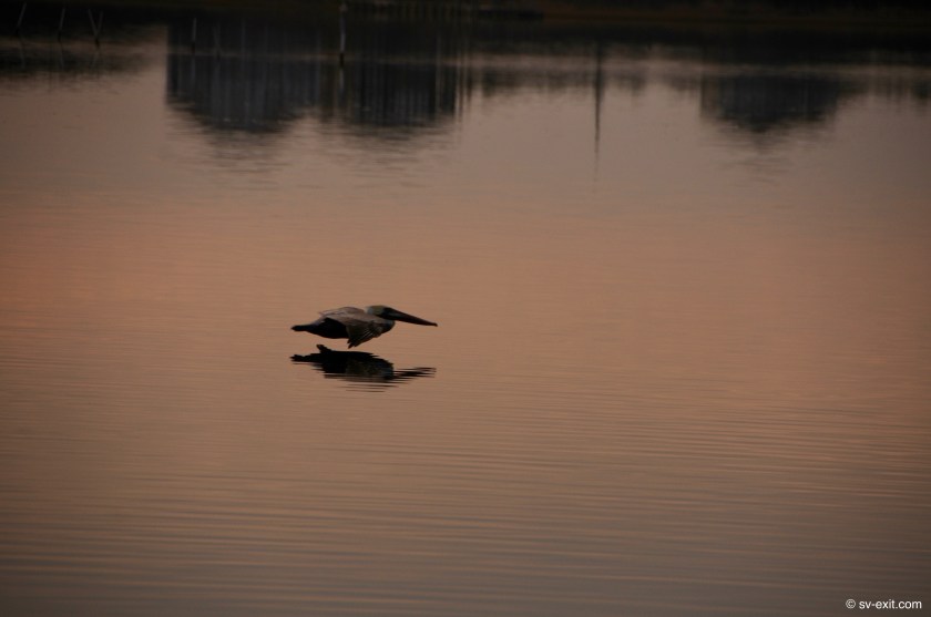
Once again, we met up with Dena and James, who had arrived before us, and proceeded to consume far too much Kraken rum while watching the dramatic silhouettes of pelicans hunting against a stunning sunset.
James getting a shot of Kris getting a shot… (photo by James Lane)
No outboard… no grief
S/V Nomad at anchor
S/V Nomad at anchor
James capturing Kris capturing the shot(photo by James Lane)
No outboard… no grief
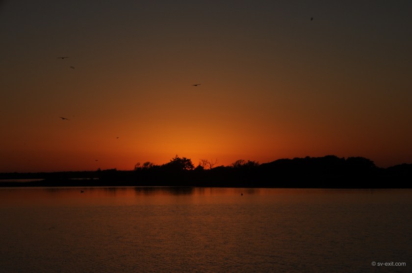
Pelican Sunset – Mile Hammock Bay, NC (Dec 2017)Final moments of light – Mile Hammock Bay, NC (Dec 2017)
James and Dena left the following day.They had a secret anchor spot ahead just large enough for their boat.We decided to stay put.Another weather front was bearing down on us and the forecast called for heavy winds and shitty conditions for the immediate future.Rather than take a chance on finding something farther along, we concluded that we were in as good a spot as we could hope for, so best to wait it out where we were.
Amazing sunsets here
What that meant was, for 24 hours, we had the bay all to ourselves.Well… more accurately, we were the only boat there.There was also a brigade… or company… or platoon… a something of Marines ashore.With a lot of people, came trucks and a backhoe.
They arrived in full combat attire.After setting up an armed perimeter onshore complete with sniper, the Marines built what appeared to be a command post tent surrounded by razor wire; then sent patrols out into the surrounding area for the next couple of days.All the while, this was accompanied by the sounds of explosions in the distance, occasional helicopter traffic, and Marine RIBs patrolling the river just outside the bay.
To say the least, it was quite surreal sitting at anchor in the midst of all this, watching like the proverbial fly on the wall.
Exit… a fly on the wall during Camp Lejeune Marine night exercises
For four nights, we sat at Mile Hammock Bay awaiting the crappy weather to pass, until another window opened up allowing us to continue in reasonable weather.
At one point, we were startled to see a mahoosive barge being pushed by Coast Guard tug boat enter the bay.With us watching anxiously, it slowly circled around us.Once it was between us and the shore, it lowered four giant posts, or spuds, attached to the tug and barge.They jammed down into the bottom, effectively securing the barge and tug in place.The tug remained there overnight, looming beside us with penetrating spotlights trained on the barge, and then departed the next day… very strange.
After four days, the weather cleared up enough for us to pick up anchor and make for Wrightsville Beach, thirty five miles to the south.
As we continue further and further south, we are finding that increasing tidal ranges and the resulting currents can cause extensive shoaling in the rivers.Consequently, navigational markers may be moved; or worse, actual depths both inside and outside the channels may not match the charts – both of which can lead to navigational moments of acute confusion.
We have to be ever vigilant of the depth gauges in Exit’s cockpit. Running aground in this area, which has been likened to running into a bowl of pudding, is a much more forgiving prospect than running aground on rocks or coral.Typically it is more damaging to one’s schedule than one’s boat.
Nonetheless, as a rule, we try to avoid it.
In fact, when we are navigating in waters where depth issues are a potential concern, we leave the lifting line for our centerboard attached to a winch.If we have a situation where the depth gauge unexpectedly drops below eight feet, we can initiate an “emergency raising” of the centerboard.In about fifteen seconds, we can decrease Exit’s draft from the six or so feet we normally have with the centerboard partially lowered to three and a half feet with it raised completely… an added insurance policy for a “didn’t see that one coming” situation.
The Outer Banks were still calling to us, and it appeared that we had what looked to be a temporary weather window, so we again ventured out into Pamlico Sound.
Our destination was back across the sound to Ocracoke Island… the Outer Banks.In stark contrast to so many of the posh resorts as well as luxuriously sprawling and lavishly decadent mansions along the Maryland and Virginia shoreline, tiny Ocracoke Island is both a diamond in the rough and a fresh breath of real life.
We were being chased by ominous dark clouds that started to materialize on the horizon behind us about halfway into our crossing.Conditions on the water were cold, but not ugly yet.It seemed we might beat the weather to Ocracoke; but if so, it would not be by much.
As we pushed onward, yet another reason to momentarily celebrate arose.We had just passed our one thousand mile travel marker aboard Exit!Another small but significant accomplishment to briefly revel in.
Ocracoke has an exceptionally long and narrow entrance channel with depths of less than one foot outside that channel, so there is only one way to come in and you have to pay close attention to the markers.The channel approaches from an angle so we couldn’t really see the small bay the town of Ocracoke is nestled up against until we were actually inside it.
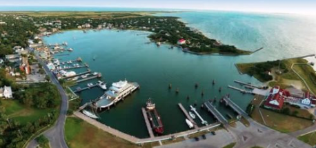
The bay, called Silver Lake, is nearly circular and houses a couple of marinas, the main docks for the ferry (without a connecting bridge, you only get to Ocracoke by boat or plane), and some smaller docks for businesses.On the far side of Silver Lake, opposite the ferry dock, were a few unoccupied sailboats at anchor.During a busier time it would have gotten crowded very quickly, but we seemed to be the only transients here at the moment; so we had no trouble finding a spot with enough space to get out plenty of chain.
Ocracoke and Silver Lake
The storm, which had been hot on our tail, caught up with us as the anchor chain we had began paying out rattled over the bow roller. Almost instantly, a cold wind kicked up and the clouds unleashed a torrent of rain on us. By the time the anchor had been set and snubbed off, I was completely soaked. At least we had made it.
Ocracoke has a population of only about a thousand people, staunchly proud of their community’s small town character. We had heard that, despite catering to a large number of tourists, life on Ocracoke Island has changed very little in the past 25 years.
Ocracoke Lighthouse
It also has the distinction of being a location the famed pirate Edward Teach, better known as “Blackbeard”, spent some time at.Ultimately, Blackbeard was killed by British Naval forces in a battle on Ocracoke Island. It is rumored his treasure is buried somewhere here. Incidentally, we found nothing…
One thing we did learn about Ocracoke on our first wander around was that almost 100% of the Ocracoke businesses close down as the season winds down.We could only find two bars, one general store, and a variety store open out of all the businesses we walked past.
Very old school pay phone
Xmas cheer with a beer
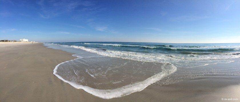
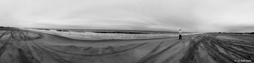
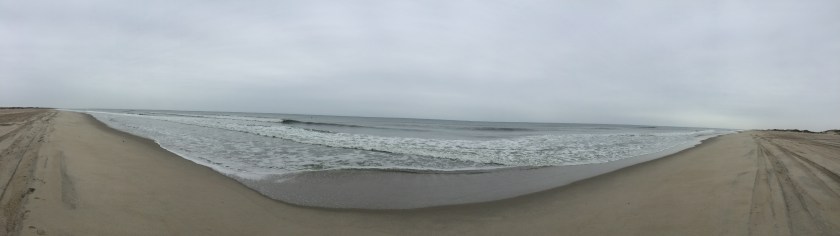
The following day, we put on our foul weather gear and walked to the beach.Isolated and completely undeveloped, it extends for nearly fifteen miles.Apparently, it was recently voted the number-one beach in America, and we could see why.Not a single structure could be seen in either direction from horizon to horizon.Nor was there a single other person walking on the beach.Aside from one SUV and one pickup truck driving onto the beach for a short time in the distance, we didn’t see a single soul the whole time we were there.
Squadron of pelicans
Gulls patrolling the beach
Fortunately only footprints from this invasive species
With the entire beach to ourselves, we watched dozens of pelicans diving into the water and flying intricately in squadron formations just inches above the water.Even a couple of dolphins made an appearance, hanging out amongst the breaking waves just off the shoreline, patrolling back and forth.
And, stretching out before us in every direction, was the vast Atlantic Ocean.In the distance, we could barely make out on the horizon what appeared to be the jagged edges of big waves… turbulence kicked up from the Gulf Stream we suspected… quite intimidating… awesomely inspiring… little bit scary.
We spent two nights at anchor at Ocracoke and could easily go back again.While I wouldn’t relish the idea of sharing the space at Silver Lake with a shitload of other boats, I’m sure Ocracoke, in its’ non-hibernation state would be a blast to visit.
Ocracoke Dec 2017 – Plenty of room to swing
It would have been easy to stick around for a bit longer, but we really needed to get moving again. Hopefully, we would catch up with James and Dena in Oriental, North Carolina, to plan a potential offshore passage. We hadn’t seen them since they sailed past while we were dead in the water on the Elizabeth River, outside Norfolk.
Unfortunately, the weather forecast did not look promising.The following day appeared the best prospect over the next four days, but it was hardly an optimal forecast.Potentially, the 15+ knot wind carrying substantial amounts of rain would swing around from behind us to nearly in front of us over the course of the day, which meant we would see the forecasted three to four foot waves from all sides as well as probably experience some major current shifts along the way.
When we lifted anchor Friday morning at 7:30am, a steady rain driven by piercing cold wind accompanied us.Just outside of the bay, the chop immediately began to kick up, and the rain made it appear as though there was a blanketing fog all around us in the distance.
We managed to time our trip through the channel almost perfectly, meeting the incoming ferry just after we had navigated through the narrow section and as we were arriving at the channel’s end.
In the end, the day was rather uneventful and we were ambushed by no surprises, though the weather did it’s best to try to beat us into submission.
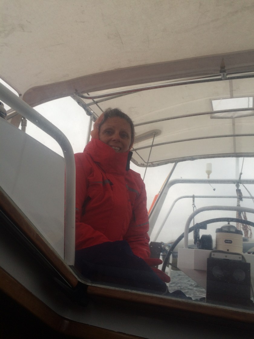
Very confused seas stacked up closely spaced waves that seemed to range between four and six feet tall.The wind and rain were relentless.During watches in the cockpit, all you could do was tuck inside the dodger as far as possible. Still, after an hour, fingers and toes were numb.The change of watch gave just enough time to duck below and get warmed up for an hour before, once again, putting multiple layers back on and climbing out into the hostile environment of the cockpit for another turn.
Uncomfortable watch bound for Oriental, NC
As always, an unexpected visit by dolphins created a stir of excitement.Though they stayed only briefly, any encounter wth these incredible creatures is always welcome.And, though the dolphins did a remarkably good job of warming our hearts and moods, our asses were still pretty damn cold!
At some point we realized, to our dismay, that Wilson, the pumpkin we had rescued from the water outside Norfolk, who had been been vigilantly standing watch at our stern ever since, must have toppled off the boat.By the time we became aware, Wilson was nowhere to be seen.We can only hope the dolphins who visited us may have found him and carried him to safety; or maybe we’ll stumble across him still adrift at some point in the future.
We arrived in Oriental, NC tired, cold, and beaten; but we’d had our first taste of what could be expected when we ventured offshore in the not so distant future.Looking forward to that… especially once we reach the tropics!
Now that we had started moving again, we felt the squeeze of wanting to make up for lost time and keep pushing forward.The decision to bypass the Dismal Swamp was, without a doubt, disappointing.However, if this meant avoiding a high potential for more problems, it seemed like truly a small price to pay.Better to stay flexible and adjust when necessary than to try to force something or feel compelled by an itinerary.
In the big picture, the change in course was only short term; both routes converged at nearly the same place only a few days to the South anyway.
Our new route immediately provided another first for us – we had to go through a lock system.As the Great Bridge Lock was only dropping us about six inches in water level and wasn’t much longer than a football field, it was a pretty benign baptism.Still, the procedures and process had to be sorted out and filed away in our brains for future reference.
Tying off to the bulkhead
Looking down the Great Bridge Lock
A short test run of only five miles put us at the dock of Atlantic Yacht Basin where we opted to pay for a rare overnight tie up on the dock.Marinas, when strategically utilized at reasonable rates, allowed for occasional major pit stops.Top ups on diesel, petrol and water, holding tank pump-outs, could be done on the fly.But plugging into shore power to fully charge batteries overnight, “luxurious” showers, laundry facilities, and easy access for provisioning and/or exploration were all benefits of the overnight stay.
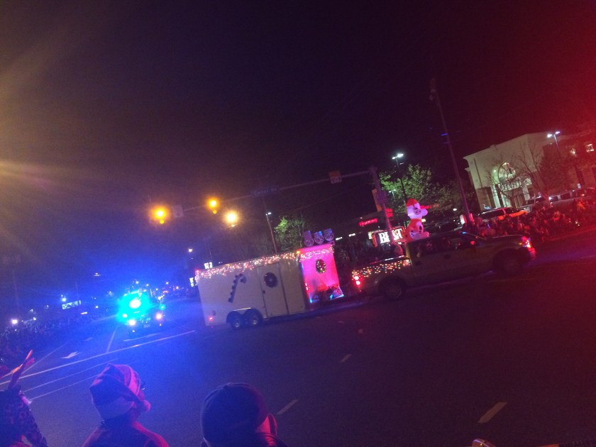
We could have sworn we saw the flashes of small explosions while we were tied to the bulkhead of the lock earlier, and we passed what appeared to be a Revolutionary War re-enactment in progress just before the marina.Turns out we should have delayed our luxurious showers until after heading into town.We arrived just as the Revolutionary War re-enactment was finishing up.Oh well…we still managed to catch the annual Christmas Parade that evening.With nearly a hundred floats participating, it was remarkably large in scale for what appeared to be a quite small community.
Over the course of the next four days, we pressed forward somewhere between twenty and fifty miles each day.The wide open expanse of the Chesapeake Bay, with its’ countless stretches of accessible smaller bays, rivers, and creeks, had given way south of Norfolk to narrow channels lined with endless markers to navigate through.
Even larger bays and rivers oftentimes were only one or two feet deep for miles outside of the dredged channels which had to be followed carefully on the charts.
The leisurely five knot pace we were traveling through the water at allowed us to enjoy the scenery around us.The brightly fall-colored trees which had blanketed the Maryland shoreline were becoming more interspersed with pines.Occasionally, dolphins would pass by; and there were always a fascinating assortment of birds.Strangely unique pelicans, looking like prehistoric pterodactyls in flight, now became as common to see as the the majestic osprey and bald eagles just north.
But, one eye always had to be kept on the channel, making sure we didn’t wander astray or misinterpret a marker that had been moved to indicate recent shoaling.Staying inside the channels and constantly monitoring the depth gauge became a relentless chore.Fortunately, our timing this late in the season of South-bounders seems to have minimized the amount of other boat traffic we have had to deal with.
After splurging for a marina at Atlantic Yacht Basin, we wanted to rely solely on our anchor (the cheapest method for overnight accommodation at our disposal) for a while.
One of the real challenges in traveling the ICW is planning your route so that, by the end of the day, you wind up at a location with adequate anchorage – regarding both location and space. A really small anchorage area, which can be foiled by poor holding or even another boat arriving first, leaves few options as the sun is setting.Without fallback options, having to pay for a marina slip becomes a costly prospect over time.
So we generally try to find wide open spots that assure us of plenty of space to put out lots of chain, or allow ourselves plenty of time to sort out a few possibilities once we arrive and can accurately see for ourselves.
However, every now and then, there just aren’t many ideal options.You either pull up well short of your intended progress, try to push extra hard to make a location, or simply try to get a sense of a descent possibility and just wing it…
Our night anchored on North River was one of those “wing it” options.We reached a point by the end of the day where we only had about an hour of sunlight left and a long stretch ahead with no options to anchor at.Coinjock, about as far as we hoped to get, had a marina but we were bound and determined not to pay.So, once we reached Coinjock, we decided to press forward.We didn’t think we had far to get to the end of the channel, where North River looked promising.
We were fortunate to have rolled the dice.Thirty minutes later, as the sun was disappearing over the horizon, we had just finished setting anchor.Aside from one other sailboat in the distance, the only sign of human existence anywhere out in the darkness were the red and green flashing of navigation markers.It was here that we also had the striking privilege of witnessing an incredibly large, orange hued “Supermoon”rising on the horizon.
Supermoon
The North River feeds into Albemarle Sound.We had heard warnings that even light winds could cause rough and sloppy seas on Albemarle Sound, and the forecasts looked ambiguous over the next few days.Though it extends for fifty miles east to west, we would only be having to cross fourteen miles from north to south.
A calm dawn on the North River, NC
Misty morning
Sunrise
Not wanting to stop our forward momentum, we made for Mateo in what turned out to be exceptionally good conditions and enjoyed finally having our depth gauge continuously hover around twenty feet without having to stay in the confines of a dredged channel along a straight highway of green and red markers.It was a welcome change as we said goodbye to Virginia and crossed into North Carolina.
From Albemarle Sound into Pamlico Sound
The Outer Banks
Better than the straight and narrow
Departing Mateo, after a quiet night at anchor, our eyes would widen as we entered Pamlico Sound, which dwarfed Albermarle Sound in size.It is the second largest ICW estuary after the Chesapeake Bay, and has a reputation for potentially being one of the roughest bodies of water to navigate on the ICW.
We were fascinated with the idea of getting to the Outer Banks, a long and incredibly narrow strip of barrier islands facing the Atlantic Ocean that extend from Virginia all the way into North Carolina.
However, shallow depths throughout the northeast area of Pamlico Sound made it seem more logical to head for the western side.Wyesocking Bay was nearly fifty miles away and made for an extremely long day; but it would offer us good protection if forecasted winds came to be.
There, we again found ourselves sharing the entire bay with only one other sailboat.A small group of houselights well off in the distance did give us a visual reference that night (it’s surprising how disorienting it can be when you are swinging at anchor if you don’t have something on the horizon to use as a reference).
To be fair, we could have dragged hundreds of meters in any direction and not done anything more than possibly touch the bottom.
Cold fronts moving through did kick up some wind; we were grateful to be in such an open area.
On one hand, there is something to be said for closed in, protected spaces that help to control exposure to wind and waves.But, for Kris and I, it’s usually a no-brainer.We are both adamant in preferring to put our trust in the equipment.With the 55lb Rocna anchor properly set into the bottom and at least a hundred feet of 1/2” chain, Exit will sort herself out and ride even gale force winds comfortably. A small, protected private bay is one thing; however, we’ll take an open bay with endless room to swing over a crowded and tight-packed marina any day.
With the raw water impeller, pump and drive coupling replaced, as well as the clogged silver mystery box bypassed, everything finally seemed good to go.Nonetheless, we left the engine running for an hour to be sure.
The following morning, we picked up anchor for the first time since Thanksgiving Day.With our new crew member Wilson aboard, we set out to pass under the very bridge we had been looking at for over a week – our first fixed bridge with only 65 foot vertical clearance.
First Mate Wilson
We may have began experiencing a bit of hallucinatory cabin fever during the time we were stranded at anchor sorting out our raw water problems.
On day eight, when we set out in the dinghy to pick up our replacement parts, we spotted something bright orange floating at the surface in the shipping channel.
We ventured over and proceeded to fish one beleagueredsurvivor out of the water.
Subsequently, we learned Wilson’s amazing story: he had apparently barely survived a gruesome Halloween massacre in late October after watching his friends and family carved alive by knives, only to fall into the water. Floating helplessly in the currents for over a month, Wilson bobbed around until eventually being spotted and rescued by us.
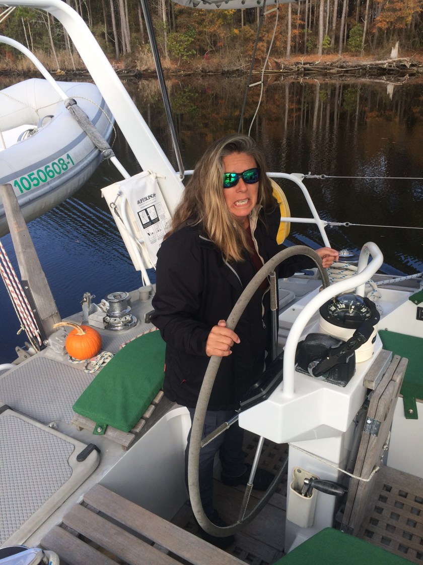
With no family or friends to return to, Wilson opted to stay aboard Exit indefinitely.He has taken up residence at the stern deck, just behind the helm.
As a watch keeper, we doubt he adds much of a deterrent for would-be thieves, but what the Hell… you try to help out when you can.
First Mate Wilson reporting for duty
It’s hard to describe the anxiety of watching from the deck as your 62 foot mast travels under a bridge whose underside is not more than three feet above that.The looming threat of sheering off masthead electronics or even the mast itself adds tension to the already exceptional difficulty of trying to gauge distance from that far below.
Fortunately, the tides at this bridge aren’t a factor.As we head further south, the tide changes start hitting three, six, even nine feet.
Bridge clearances are determined by the Army Corps of Engineers based upon the highest average tide.Shifting influences of the moon can cause exceptional tidal changes which exceed that average.What that means is, if you try to pass under a bridge during a very high tide the bridge clearance may, in fact, be less than shown on the charts.Many bridges actually have markers installed showing the clearance height based upon the current waterline.
Yet, even though we may see “64 Feet” on the marker and know our mast is two feet shorter, that separation seems minuscule at the moment of near-contact.Consequently, we are overly cognizant of working around tidal schedules on days we have to pass under 65 foot bridges… after all, three feet of clearance is fifty percent better than two feet of clearance.
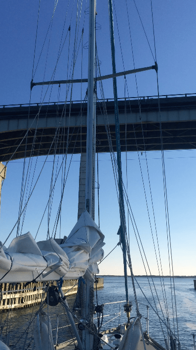
Our first 65 foot bridge…
As we pass safely under our first 65 foot bridge, Kris, at the helm, steadfastly refuses to look up.But, once through,instead of bearing right to the Dismal Swamp as originally planned, we instead head left towards the Virginia Cut.
Not a fan of the fixed bridges… note Wilson offering moral support
We have heard reports that tree branches along the Dismal Swamp have only been cleared to a 55 foot height this year – obviously a problem for our mast.Other cruisers have reported that algae blooms and weed growth are so bad in the Dismal Swamp that prop fouling and engines overheating due to clogged raw water strainers are causing real problems.One couple had to plumb the raw water intake directly to their water tank and sacrifice their fresh water just to continue.I’d like to hope we’re done with raw water issues for 2017.So, Exit… Stage Left.
Eight days at anchor sitting amidst loading dock activity, interstate bridges, as well as barge and powerboat traffic seemed like an eternity.
During our first seven days, only one sailboat and a couple of small fishing skiffs had stopped and asked us if we needed assistance.However, it quickly became apparent that, after a week of not moving, we had started attracting the attention of the local authorities.We began getting visits from the marine police and even the Coast Guard.All very friendly; just checking on our situation and status.
Finally, we got a call mid-afternoon Friday from Chesapeake Yachts informing us that the parts had just been delivered… hallelujah!
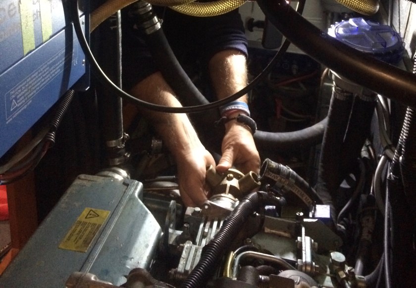
An hour later I was back in the engine compartment installing our new raw water pump and drive coupling.
Fitting the new pump
Eventually, everything was back together and, thankfully, I had no extra clamps or screws that were not accounted for.After one last check, the moment of truth was again upon us.
We started up the Perkins and hurried to the exhaust port where our hearts sank… no fucking water coming out… son of a bitch!We shut it down… again.
Throwing in the towel, calling the tow boat, and getting to a marina where we could get a mechanic aboard was not the outcome we had hoped for, but it was looking more and more likely.
There had to be a block somewhere restricting flow in the raw water system.If it couldn’t be located by morning, we would have to seriously reassess our situation.So, once again, I commenced with disconnecting hose after hose trying to track down the location of the raw water blockage.
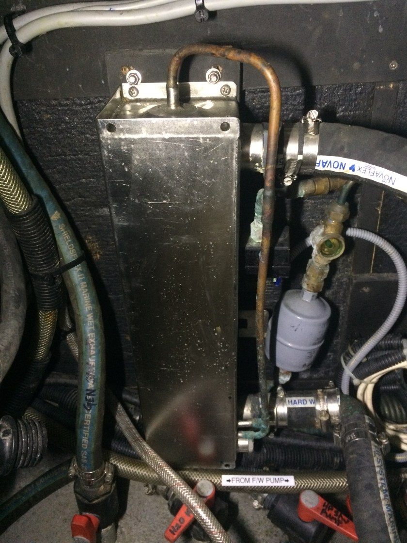
After numerous repetitions of disconnecting a hose, cranking the engine, having water shoot out, reconnecting the hose, and moving to the next junction, it became apparent that water was entering a mysterious shiny silver box and was not coming out… hmmm… this seemed suspicious.
Further investigation seemed to verify that the box had something to do with the already non-functional (and now obsolete) engine-driven portion of the old refrigeration system.Perfect… this meant that it was not important… even arguably undesirable.Thus, disconnecting and bypassing the mystery box (which I proceeded to do) should not theoretically have any adverse impact on our systems.
So I re-routed the hoses going to and coming from the mystery box and, possibly in a subliminal act of semi-desperation, fired up the Perkins before hesitation and doubt had the chance to set in too deeply.
And, damned if water didn’t start coming out of the exhaust port… abso-fucking-lutely!!!!
All in all, we thought things turned out quite well.The cost to us was $557 for parts and eight days stranded alongside a shipping channel with the industrial sounds of a shipping dock and interstate highway that roared like a passing twenty five knot wind.But, in the end, we had managed to sort everything out ourselves, plus estimated we saved nearly two thousand dollars in marina and mechanic costs… two thousand freedom chips still in the cruising kitty!
We have been told cruising aboard a sailboat is performing endless repairs in exotic locations.I don’t think this was the exotic location that was envisioned.
The location of our breakdown could have been much, much more dire.The timing of our breakdown, however, couldn’t have been orchestrated at a worse time.Because of the Thanksgiving holiday, we had to sit from Thursday until Monday before we could speak to any human on the phone that could check stock, take an order, or ship parts.
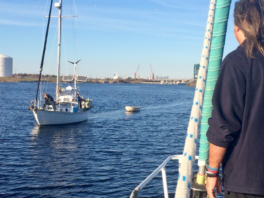
Sunday afternoon James and Dena, aboard S/V Nomad, who had left Annapolis shortly after we did, arrived at our location.Lacking a spare raw water pump for a Perkins engine aboard their boat, all they could do was offer a cheerful greeting and moral support as they sailed past.We vowed to catch up.
James capturing the moment from the deck of S/V Nomad
The photo James took
Left in Nomad’s wake
Monday finally came.We had not left the boat.There had been no problems; at least after four days we knew with confidence that our anchor was well set.Undoubtably, passing power boats, because of their wakes, caused the most pitching about for Exit.But it was the passing tugs pushing barges, especially at night, that we found to be the most intimidating.You could hear them coming, even over the din of the I-64 Bridge noise.Oftentimes, it was the flood of a powerful spotlight beaming in momentarily through the windows indicating the tugboat captain had seen us at anchor.
After four days, we were starting to go a bit stir crazy not making any progress.
The scenic side of the shoreline
When we finally were able to start speaking with people on the phone Monday morning, as was already expected, the pump was readily available;it was the damn drive coupling, specific to the Perkins engine, that was not so easily located.
We called TowBoat U.S. to find out what our options were; but, after talking to them, we decided to stay put where we were.A tow could have been arranged, and we were even insured for it, but the only option would have been to get a tow to a marina which would then charge us $100 a day to tie up at.We rolled the dice on still being able to work through this ourselves.If necessary, we could arrange for the tow later.
Finally, by the end of Tuesday, we had mixed news from Trans Atlantic Diesel, in Virginia.We were ecstatic to receive confirmation that the parts we needed had been located and ordered.On the other hand, we were mortified to learn that it would be two more days before they received the parts and another day before we got them (any later and we’d have to wait through another weekend, which we did not want to think about).
Waiting for parts was nothing new, even for us.At least we weren’t looking at six weeks again!But, after four days of sitting already, we hoped things would materialize with a bit more haste.
In the interim time, we needed to sort out where we were going to get the parts shipped to, once Trans Atlantic Diesel had them.“S/V Exit, at anchor 1000 feet North of the I-64 Bridge” just wasn’t gonna cut it for UPS.Our best bet was Chesapeake Yachts, a small yard right on the other side of the I-64 Bridge, which had a long dock accessible to our dinghy, unlike the barge docks across the river.
After calling and explaining our predicament, the initially suspicious Vice President of Chesapeake Yachts, Kymberly, grew sympathetic and offered to let us tie our dinghy to their dock and ship the parts to the office there.
Considering we hadn’t stepped off the boat since Hamptons Road, a week ago, we took the opportunity Wednesday to go ashore and catch an Uber taxi to pick up some provisions and extra tools that were obviously going to be needed over the long term.