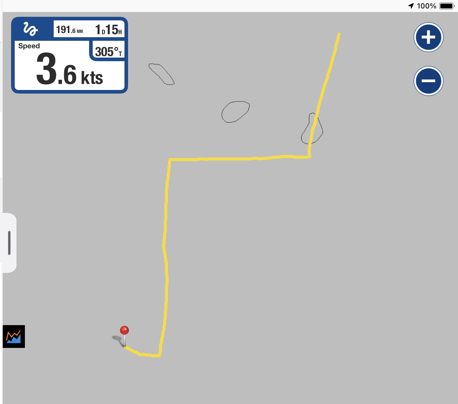
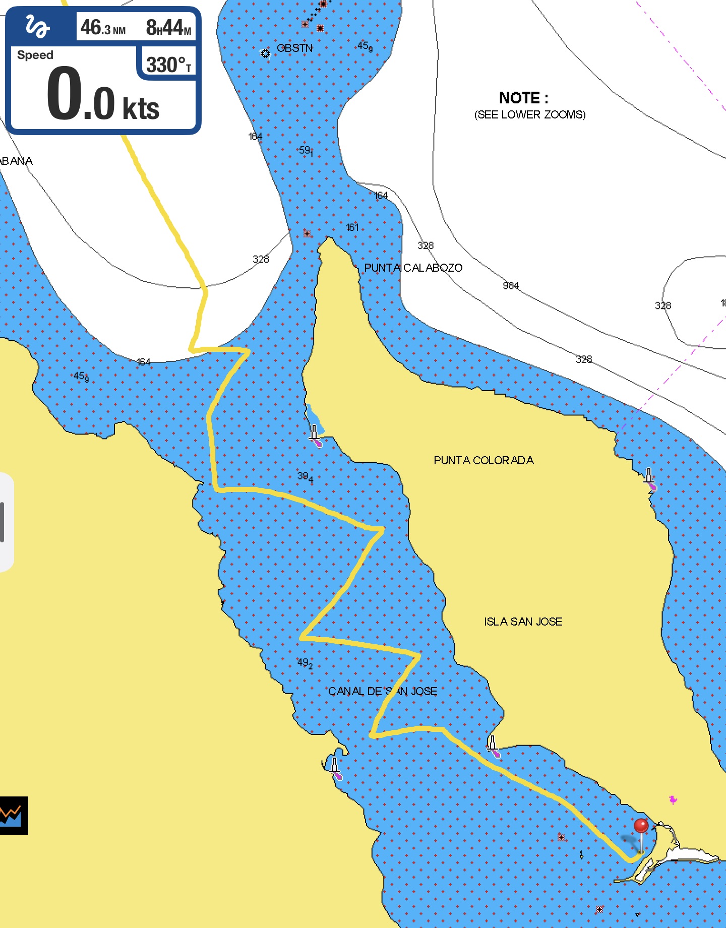
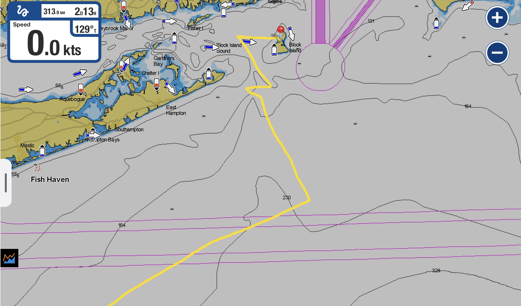
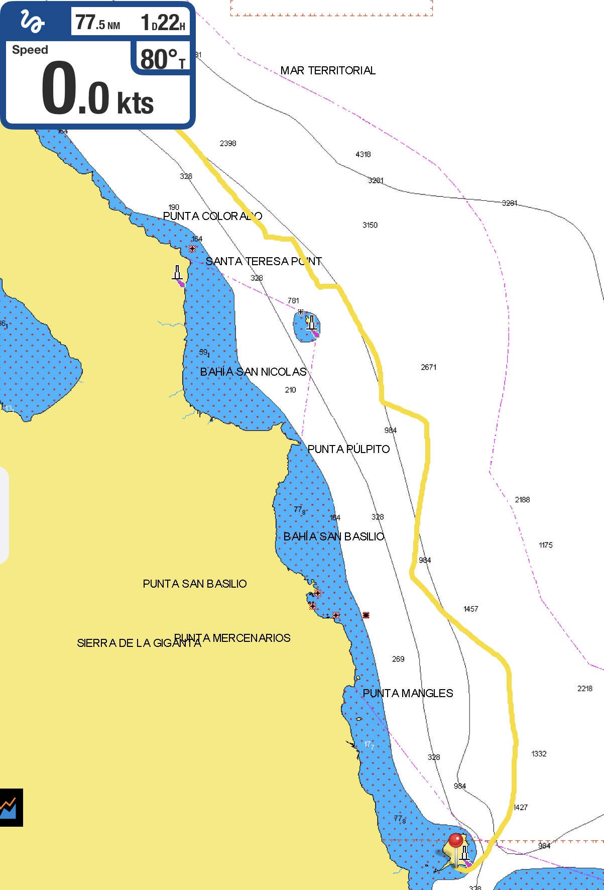
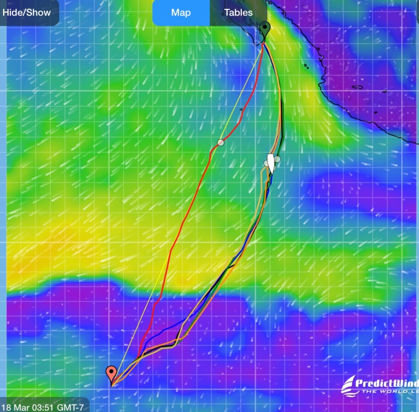
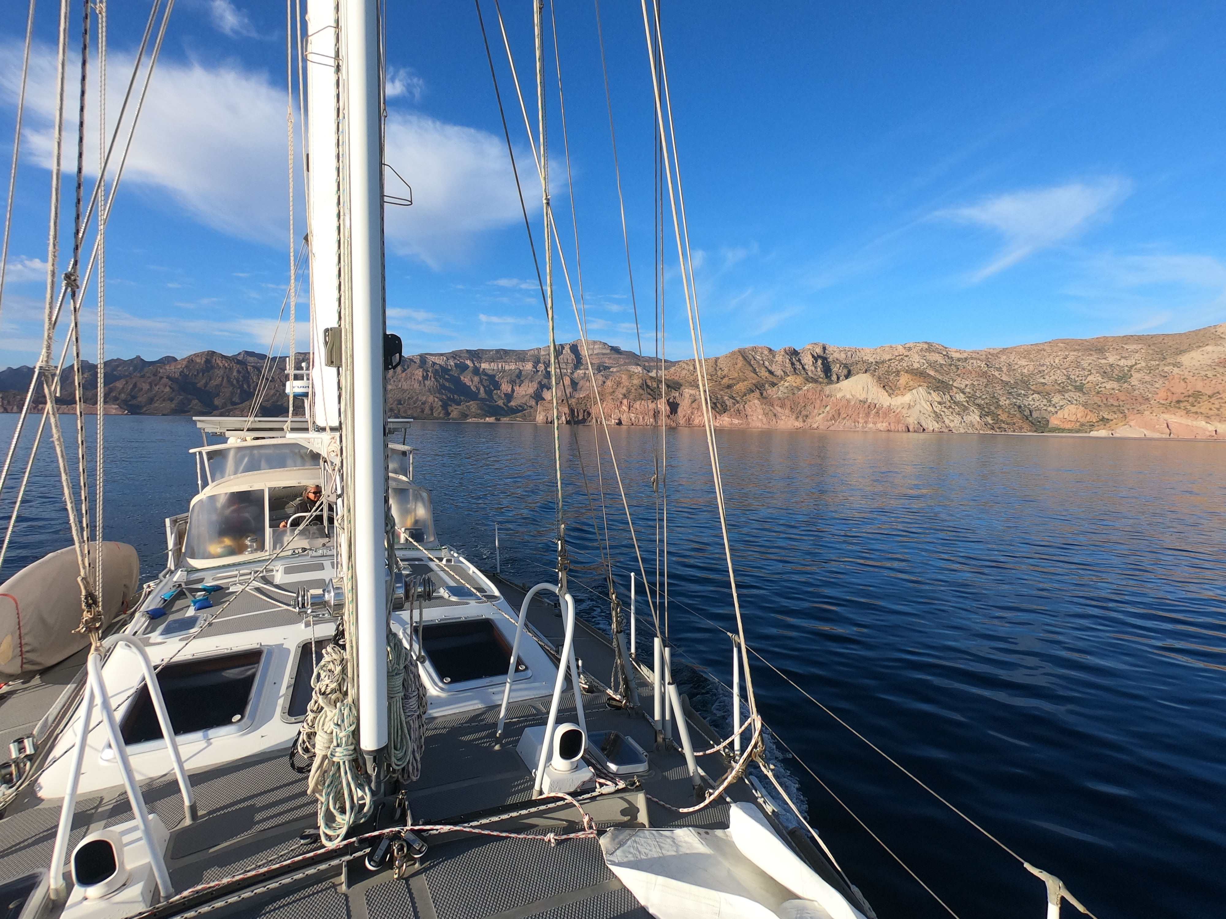
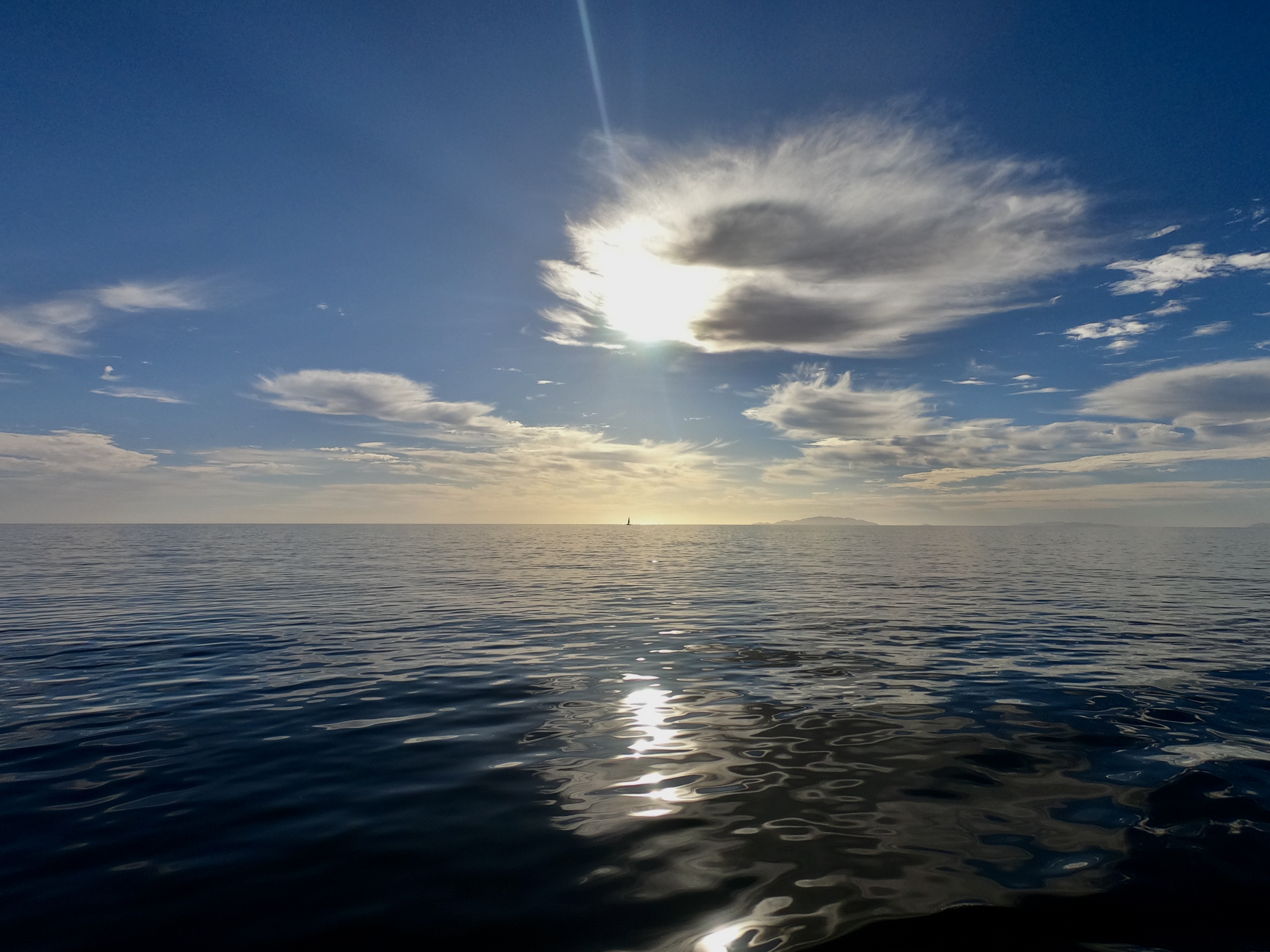
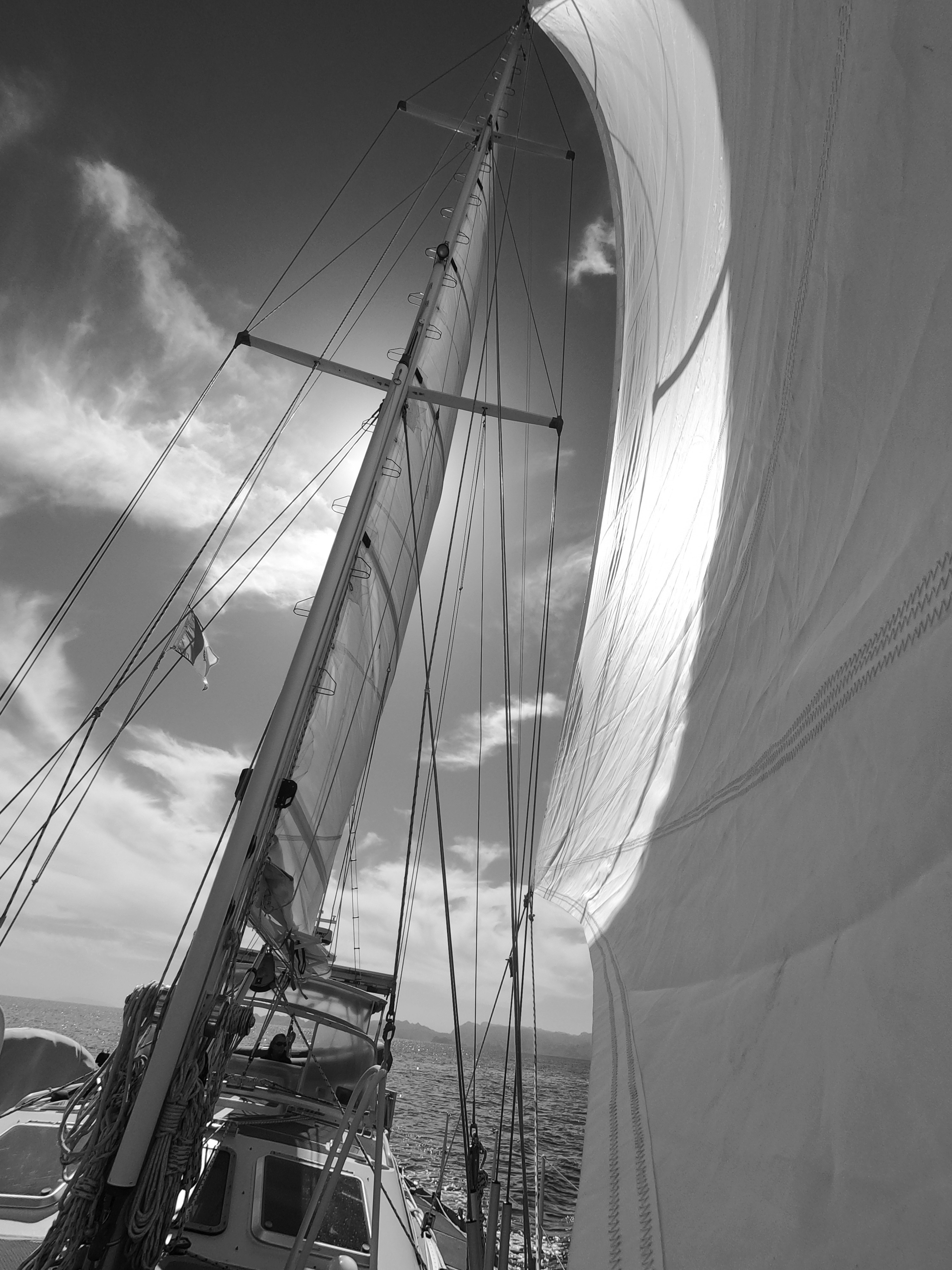
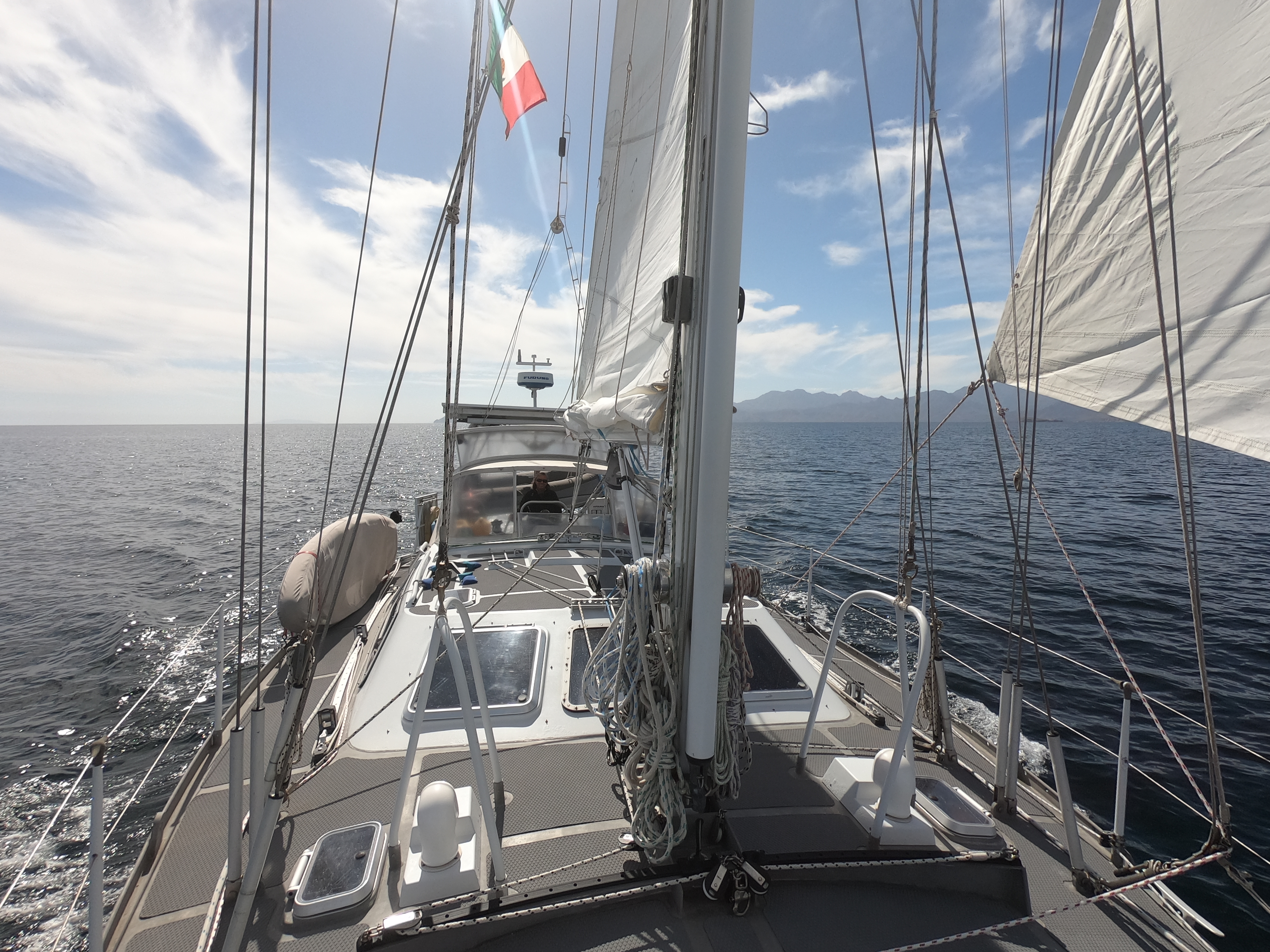
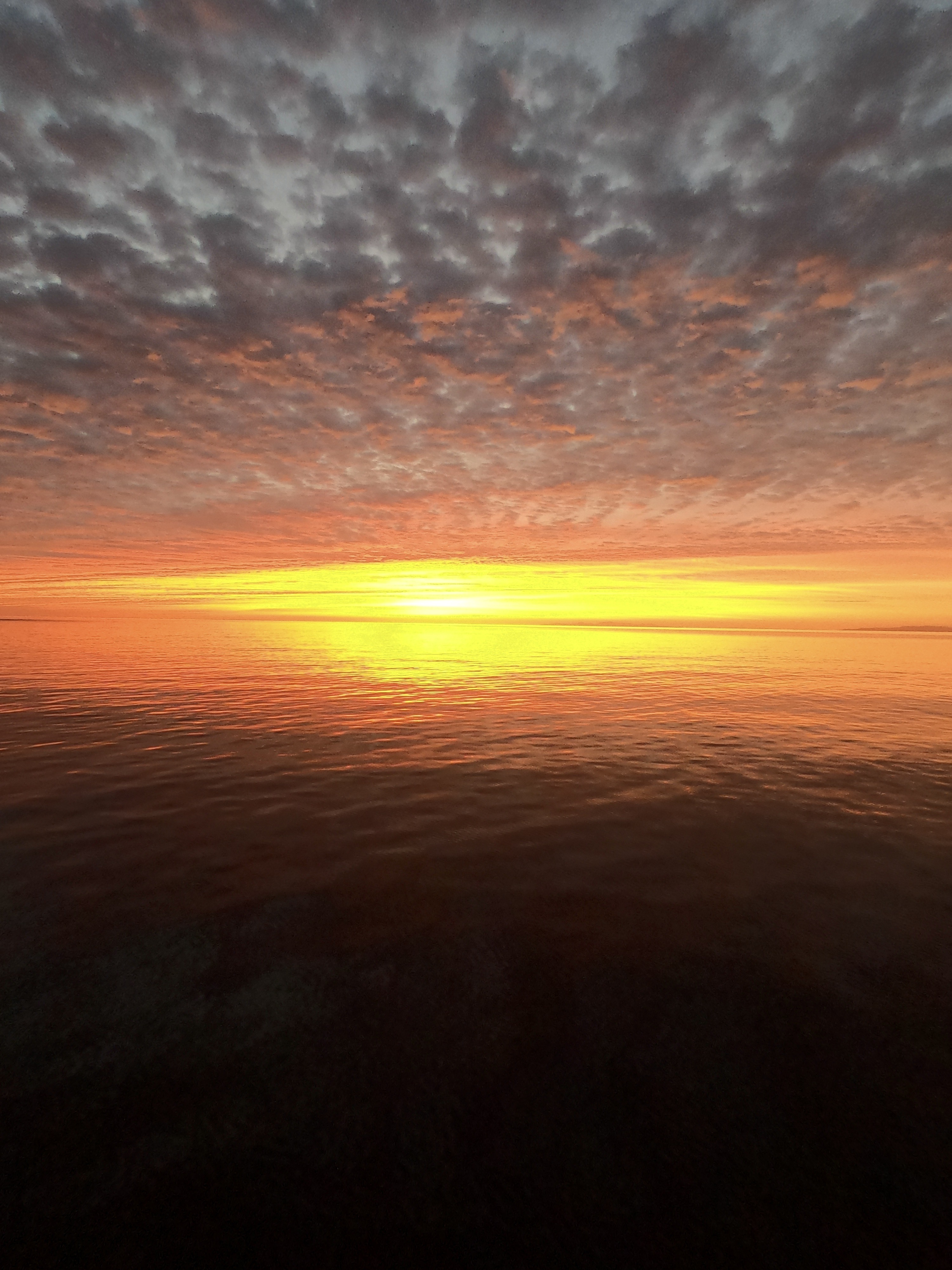
“Well, the one absolute certainty is that, to get somewhere you don’t point towards it.”
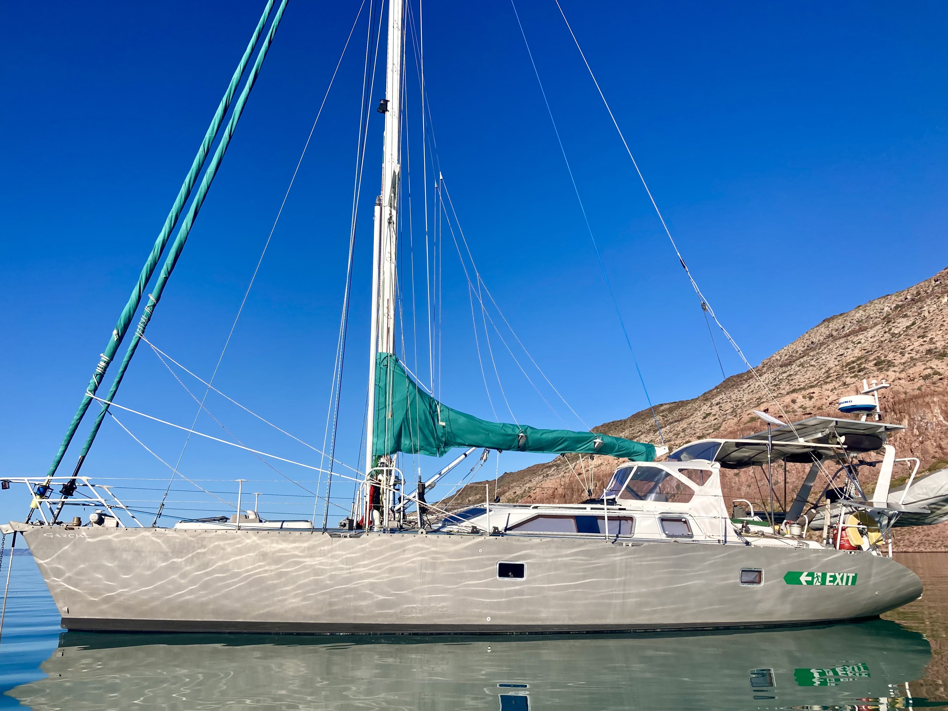
Even spoken with an intended inflection of confidence built from living aboard S/V Exit for the last eight years straight, the words still sounded ridiculous as they spilled out of my mouth.
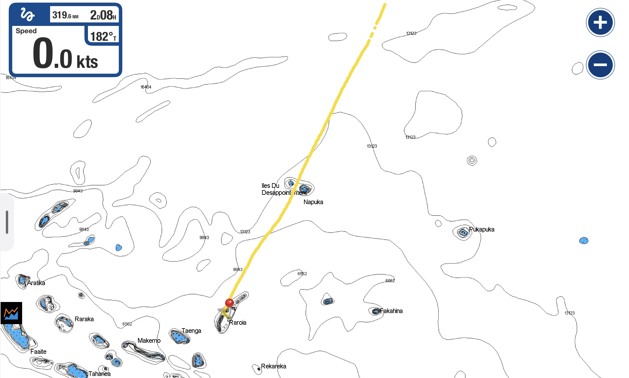
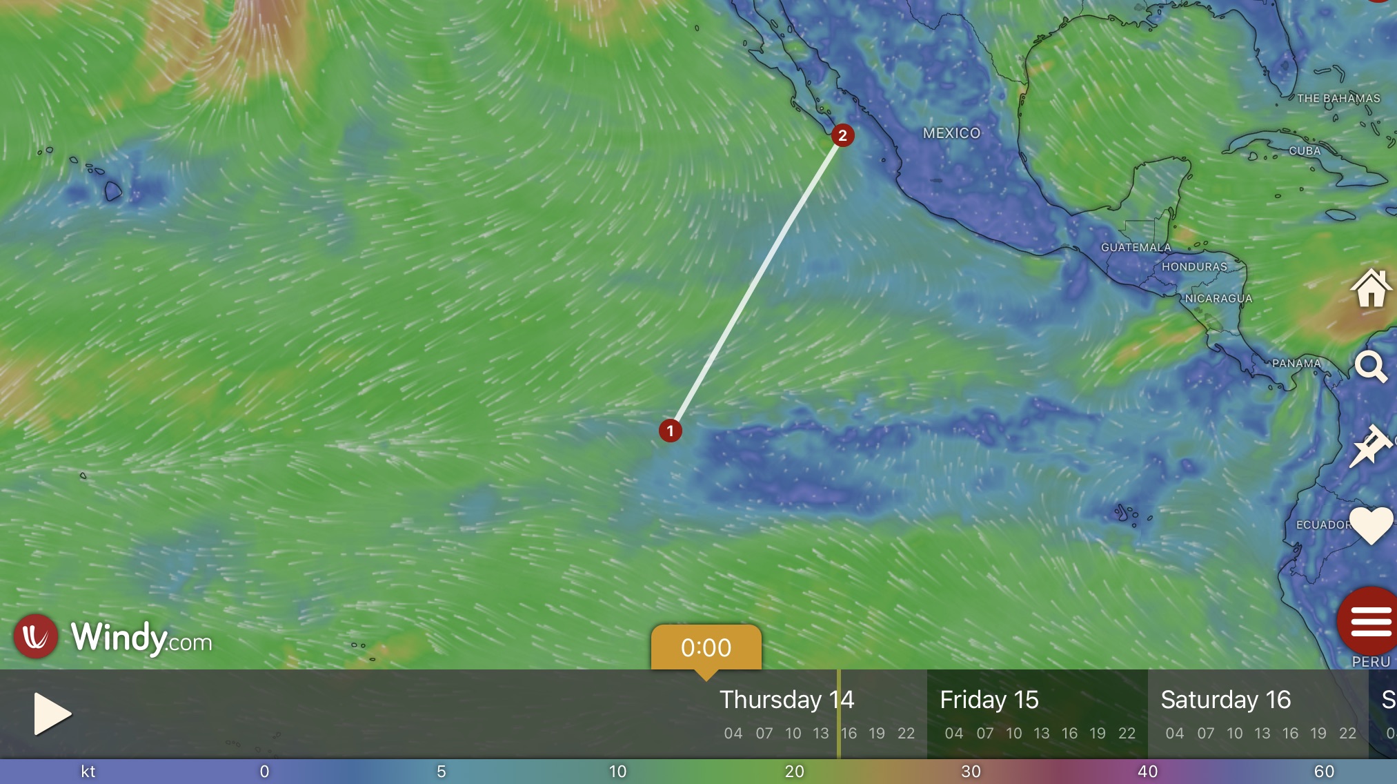
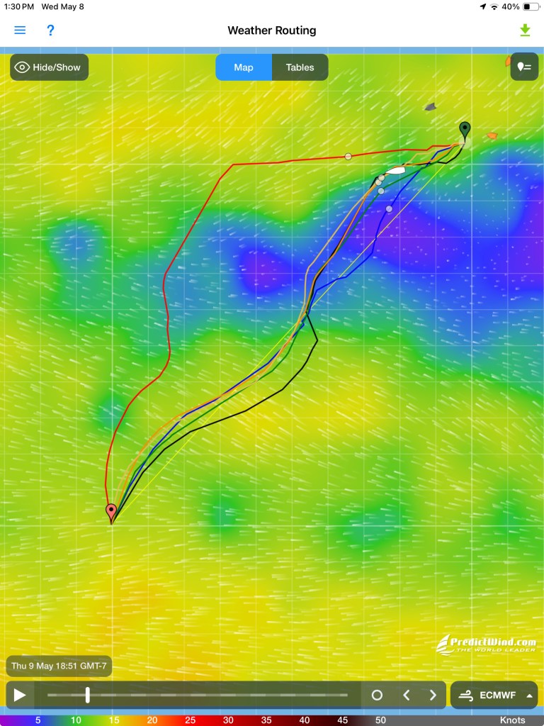
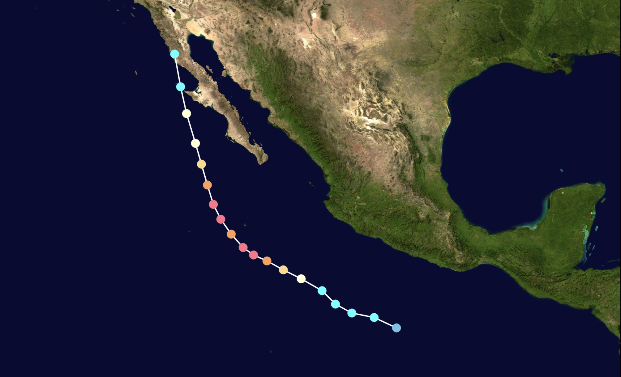
“As the crow flies…” sounds like a common sense approach to efficient, logical and savvy travel; and yet, outside of being drawn with a ruler or cut with a razor blade, lines are rarely found perfectly straight. Such is life.
Kris and I had been having endless discussions regarding our upcoming departure from French Polynesia. Potential destinations. Forecasted weather. Bailout options. Distances. Immigration requirements. Cyclone season considerations. So many options and variables.
The one unwavering absolute regarding our departure was the deadline on our French Polynesian immigration stamp. As of August 24, if we had not departed we were officially illegal – a serious offense which, if discovered, carried penalties that could include significant fines or even confiscation of our boat.
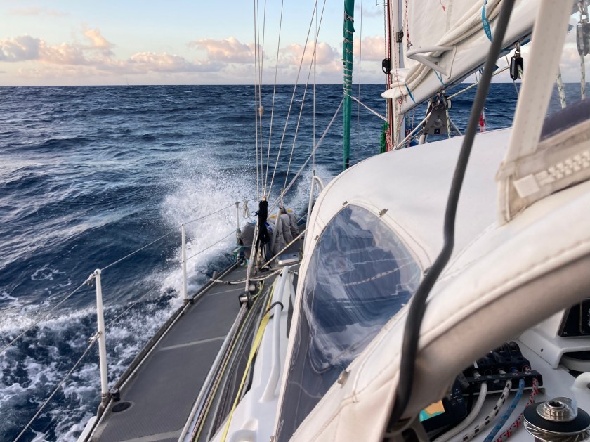
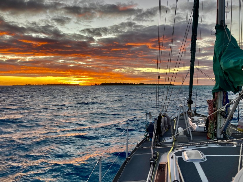
Approximately one thousand three hundred nautical miles, the distance we needed to travel to our next anticipated destination the Kingdom of Tonga, would require at least ten days and more than likely it would end up closer to two weeks by the time we arrived. The problem was the wind we would depend on to sail was displaying all the cooperation of a hardheaded teenager. Small windows of perfect conditions surrounded by large closed doors of either obnoxiously surly or downright scary weather, huge swaths of zero wind whatsoever that would necessitate days of motoring, or great sailing winds in completely the wrong direction.
We were in no hurry at all. However, two dates loomed on the horizon. November 1, technically the beginning of cyclone season in the Pacific, and December 1, when our insurance company mandated we be either in New Zealand or Australia, south of Brisbane and outside what was deemed “the hurricane box.”
We began looking at alternate and less direct paths that would ultimately get us further west rather than continuing to wait for a weather window that seemed to be more and more of a fantasy.
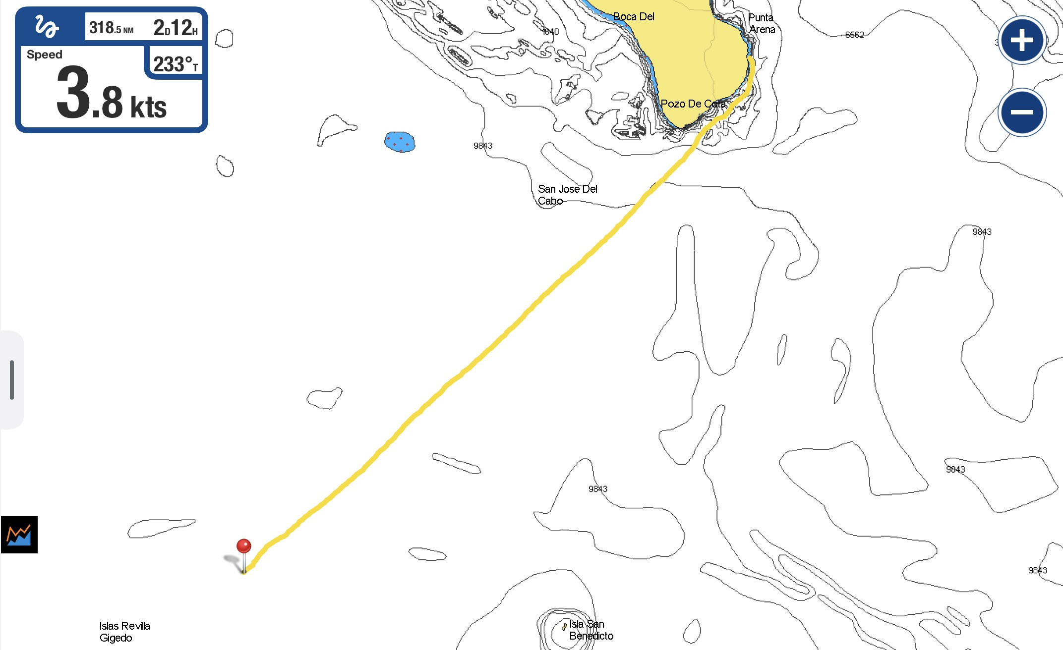
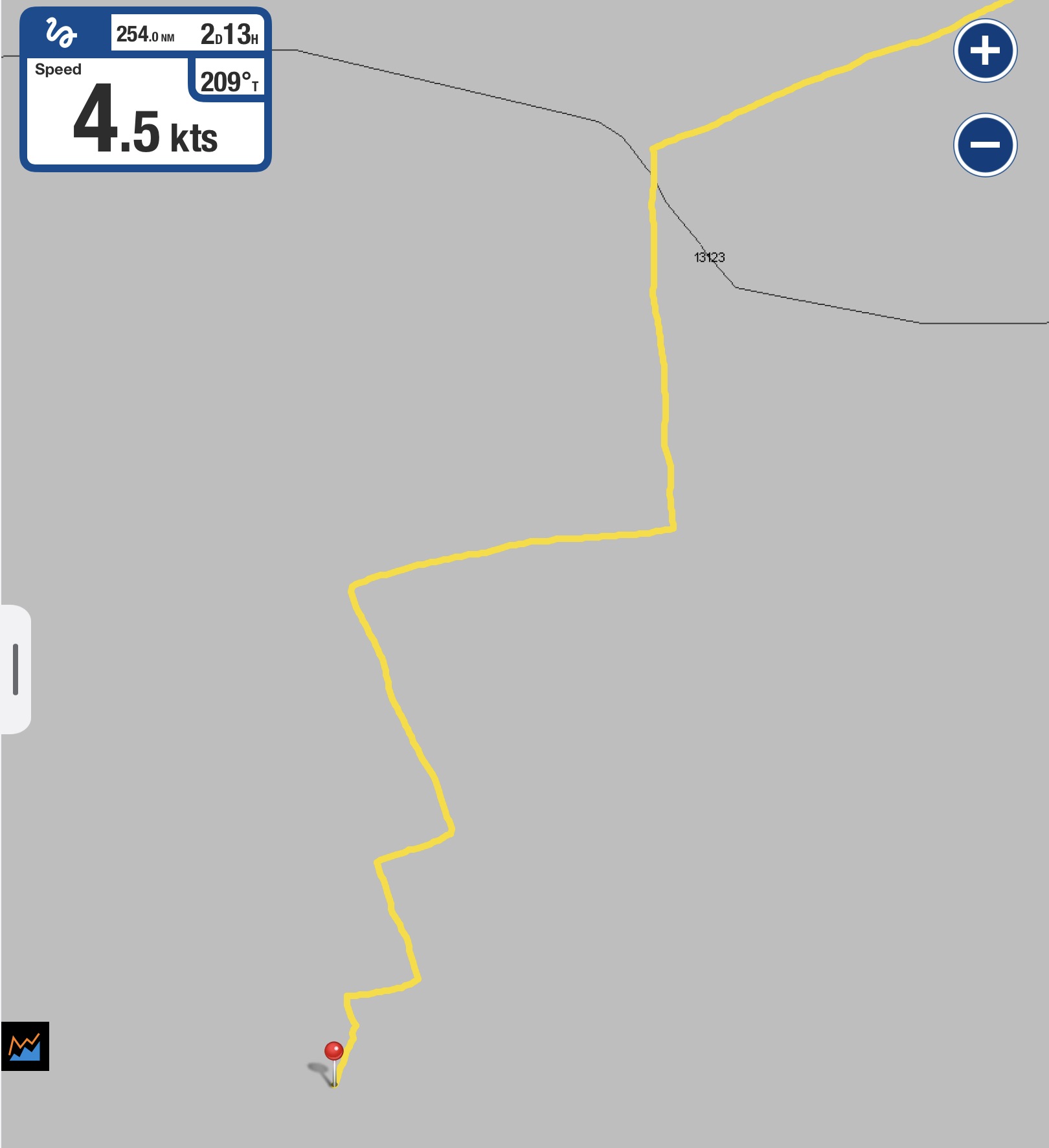
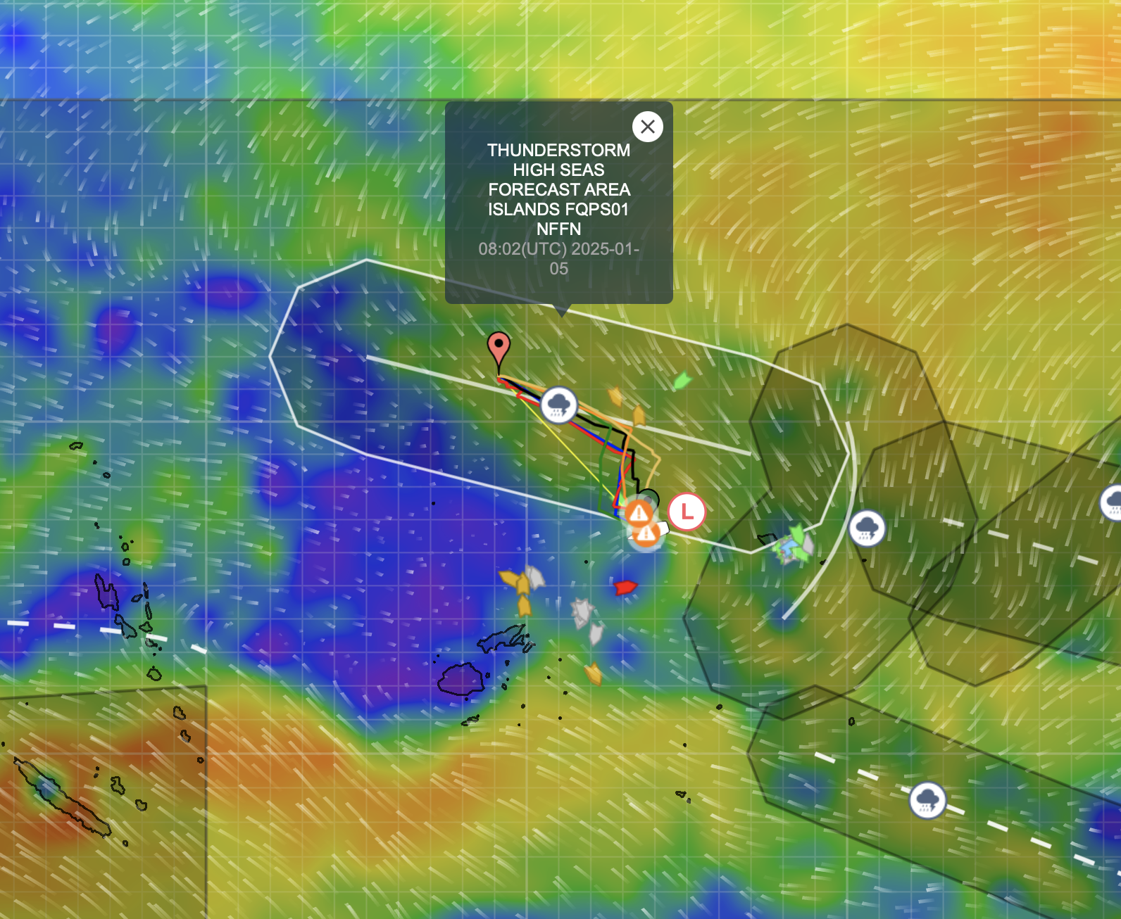
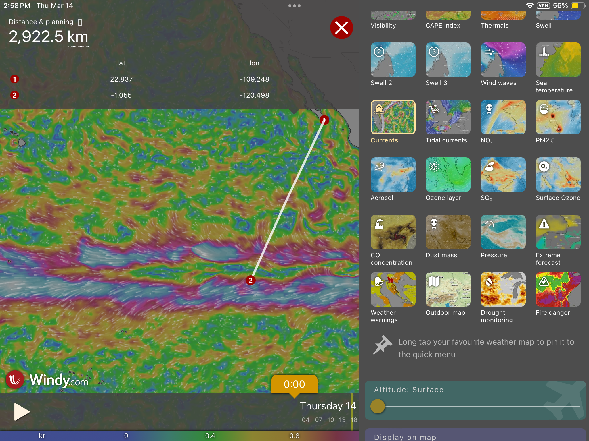
Aboard a sailboat, a circuitous path can be the result of many factors…weather, wind, waves, even currents. Whether actively circumventing an area threatening squalls, adjusting course to avoid uncomfortable or dangerous swell angle, involuntarily influenced by currents relentlessly pushing you in their own direction, or adhering to the laws of physics dictating inconveniences such as sailing directly into the wind quite simply, ain’t gonna happen, every sailor finds themself riding atop the meandering line of getting places. Oh ya, engines can change this equation, but only to a degree.
Rarely is the case that you get to sail in a perfectly straight line for fifty miles.
Even more rare is the instance that you are able to maintain that same efficient straight line for hundreds and hundreds of miles for days on end, as had been our good fortune both departing from Mexico as well as our passage between the Marquesas and Tuamotus.
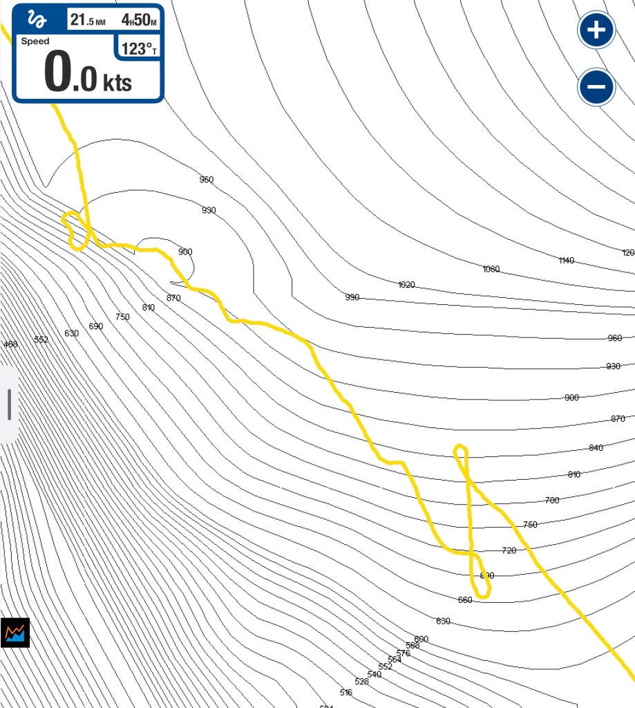
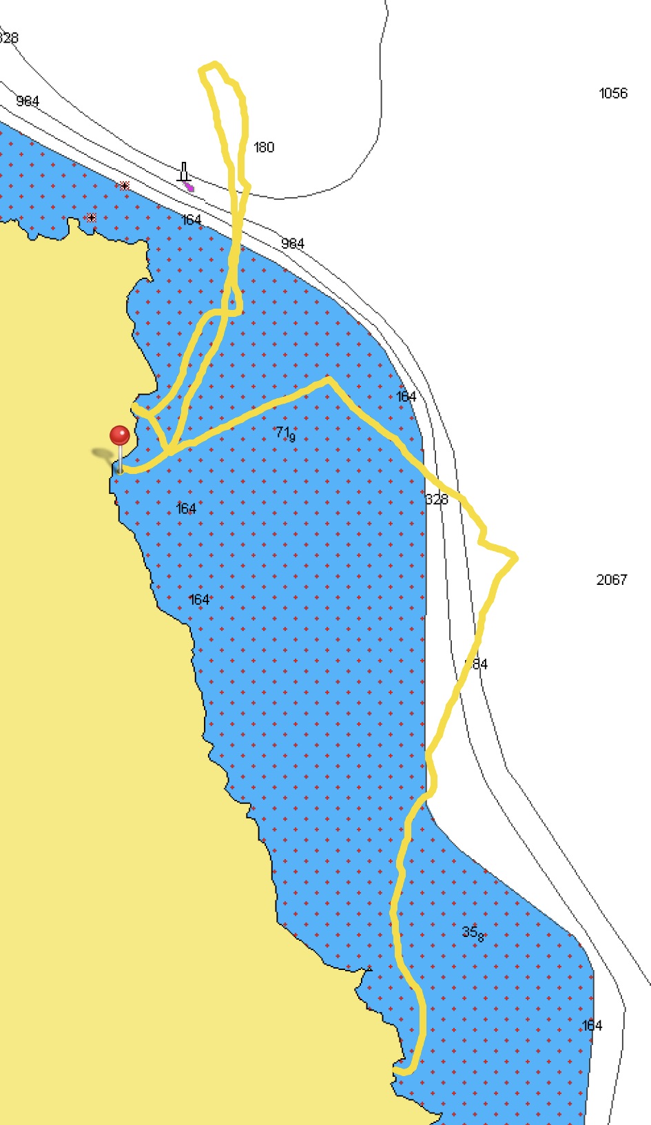
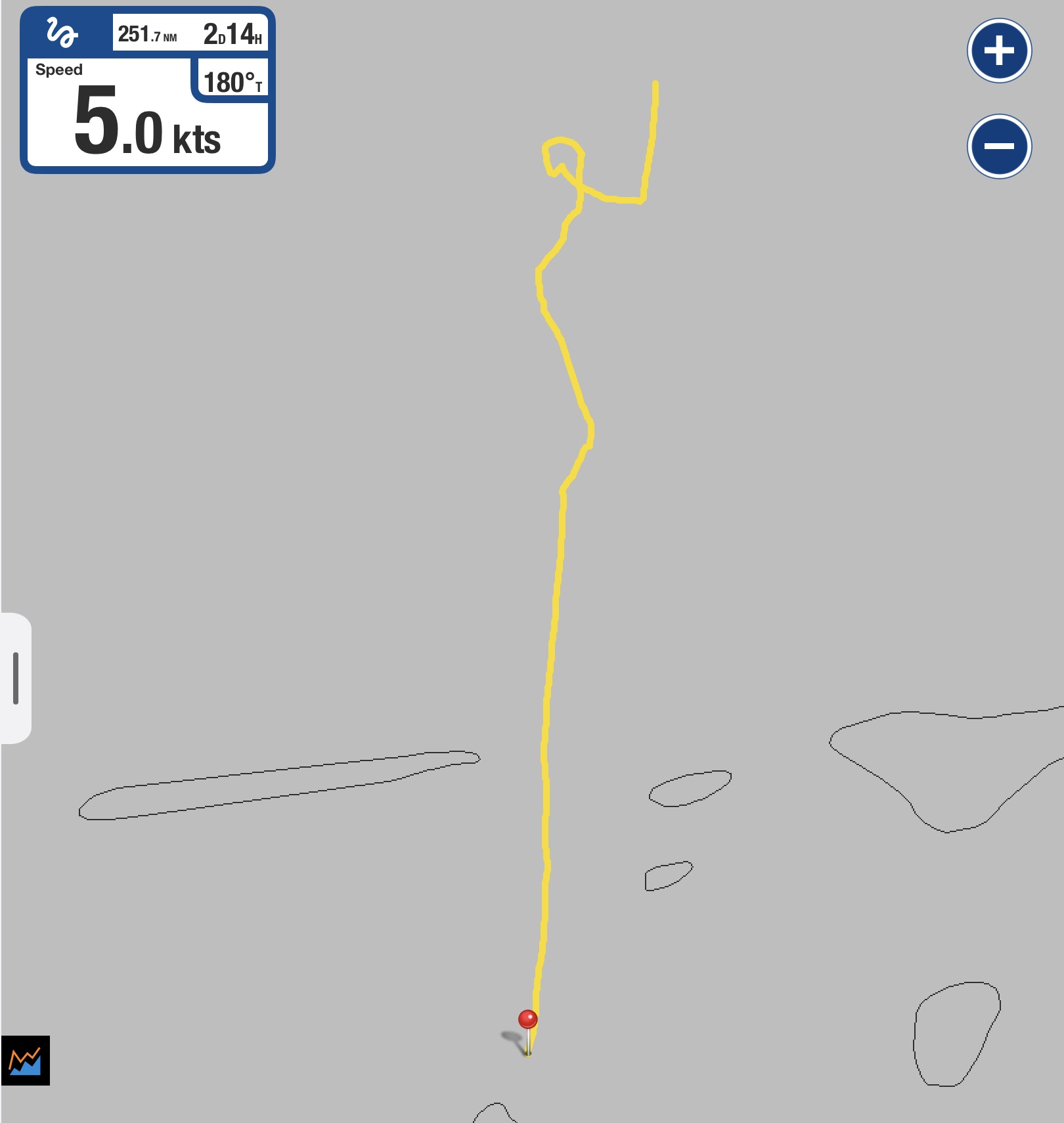
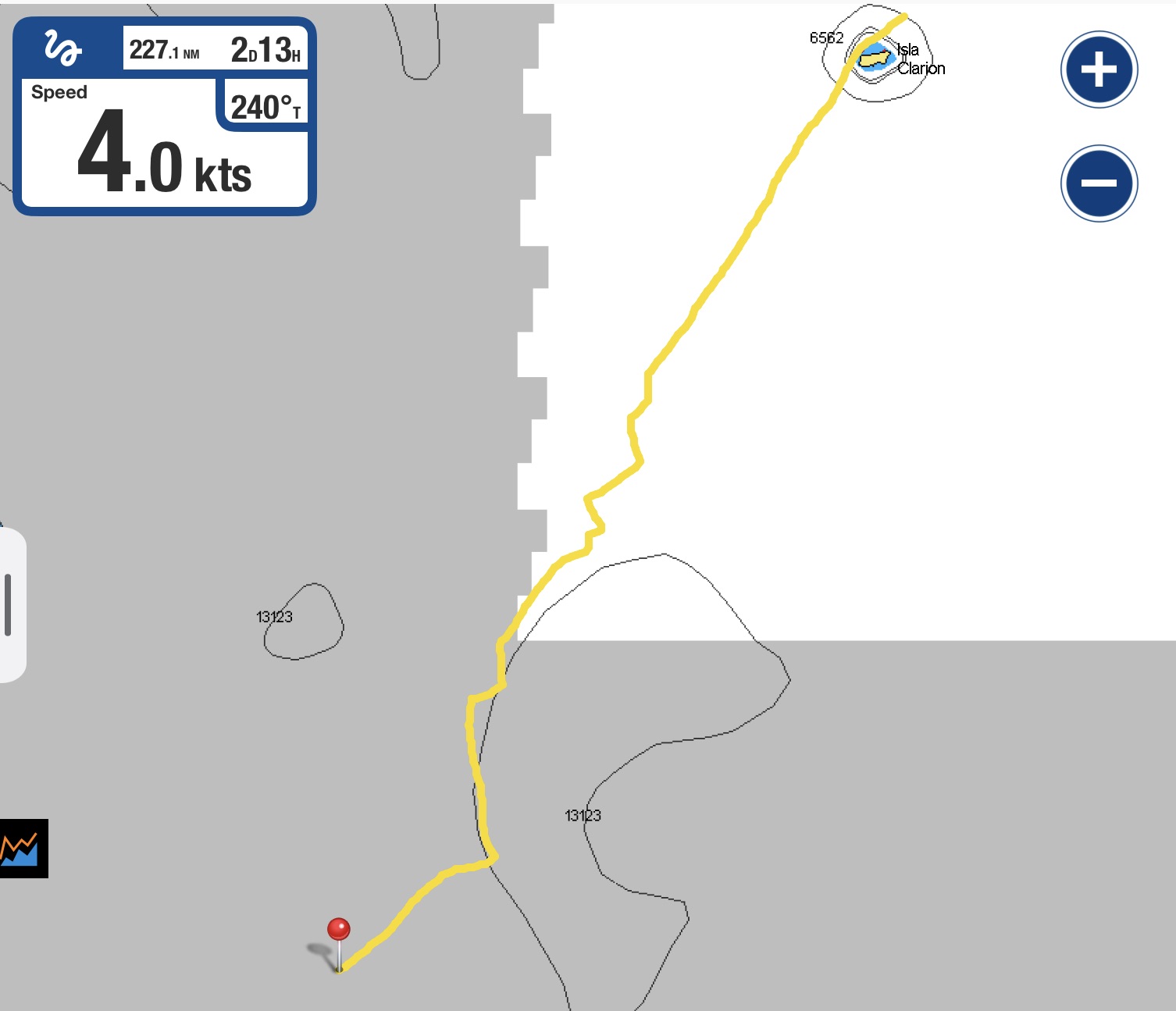
Sometimes the track recorded on our the chart plotter, Exit’s digital footprint, has all the makings of a crisp and calculated military maneuver. Smart tacks or gybes. A geometric marvel…
Other times, a broad sweeping arc. Or what initially seems to be the wrong direction entirely. For example, the curious strategy of strategically heading north west to eventually get south. Still sound from a nautical sailing standpoint though harder to sell…
And then there are simply moments in which it appears a drunken sailor has taken control of the helm…
Add to the mix multiple possible destinations or altering and evolving destinations, especially while underway, and things grow quite dizzying very quickly. Despite having general strategies, intentions, tricks, and methodologies that are considered, every situation can be a unique bubble in time with a life of its own.
For all of the appeal of taking the shortest route, a situation in which adding two hundred or more nautical miles to a passage already clocking in at a thousand miles can make perfect sense if it allows you to sail the whole time instead of motoring for days…the balance of spending extra time underway to conserve fuel. Doesn’t sound so strange suddenly.
A couple hundred miles of arc may not add much to a 1000+ mile journey
Conversely, sitting in violently rolling swell or biblical pouring rain or some like form of masochistic misery for hours and hours just to stay true to the pure spirit of sailing, starts seeming insane when firing up the engine for a short period of time can end the brutal torture.
How long do you have to sit in zero wind without making forward progress? How much damage are you willing to risk to equipment or flesh? How tightly are you willing to desperately grasp to a principle? Understandably, that threshold is oftentimes just as bending, squiggly, and shifting as the damn track line on our chart plotter.
Sure…something may sound great in theory; but, theory has a way of getting bitch-slapped handily when confronted by reality.
Not so long ago, whilst discussing meandering track lines with a friend, who also happens to be a dirt dweller with zero interest in sailing, I found myself struggling to provide an adequate answer for our often wandering approach to movement. It seemed I could offer an explanation but very little perspective to the question, “Why in the hell would you add so many miles to an already slow and perilous journey?”
Like a good sailor making no progress into the wind, I chose to change tack and try a different approach… in this case, one more relatable for a non-sailor.
I asked why every morning he used a fast and efficient four lane highway to get to work; yet, every evening he took a much longer route home on a two lane road that detoured through residential and business areas. He quickly replied that afternoon rush hour traffic on the four lane highway was a nightmare, and the other way was actually much faster at that time. Asking about other alternate routes that seemed shorter, I was told that the afternoon sun made it impossible to see the street lights at a few intersections along one road resulting in a lot of accidents; and construction delays made another option even slower than the rush hour highway traffic.
I said this made perfect sense, but it would be difficult to understand or see if you hadn’t actually experienced it.
As my friend momentarily contemplated that, he began to nod and smile. It appeared a light of understanding had switched on.
Progress.
With confidence, I thought I’d be clever and drive the point home by pointing out that a person who didn’t drive a vehicle at all would think it was much more efficient to get from one side of a park to the other side by walking across the grass rather than to drive around it.
I was quickly reminded there is a very fine line between clever and stupid when he replied, “I think both you and the other dude need to crawl into the twenty-first century and get a fucking car.”
Hmmm…touché.
Sometimes progress comes in baby steps and perspective can only really be solidified by experiences. Or not.
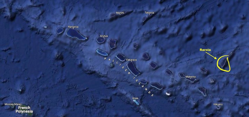
Raroia, Fakarava, and Tahanea – The Tuamotus, French Polynesia
We had good light and nearly flat seas.
The pass into Raroia ranges from fifty to ten feet deep so we had plenty of depth to work with. And the pass is, by no means, narrow. At about a thousand feet wide, we had plenty of space to maneuver. However, with the oval shaped inner lagoon twenty miles long and about five miles across, the volume of water passing in and out of the atoll during tidal cycles could be huge. And with very few places for this water exchange to occur, this meant that currents inside the passes could be staggering.
At some atolls with narrow passes, combinations of strong currents and contrary winds could turn flat seas into six foot standing waves and create currents strong enough to prevent a sailboat engine from even being able to make forward progress.
The fair sea conditions we found ourselves in approaching Raroia bode well for our arrival. The wide pass helped to alleviate the nervousness of our first atoll pass entry. Even so, we found quickly how the conditions inside the pass could be quite different from those on either side.
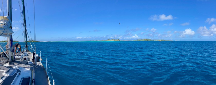
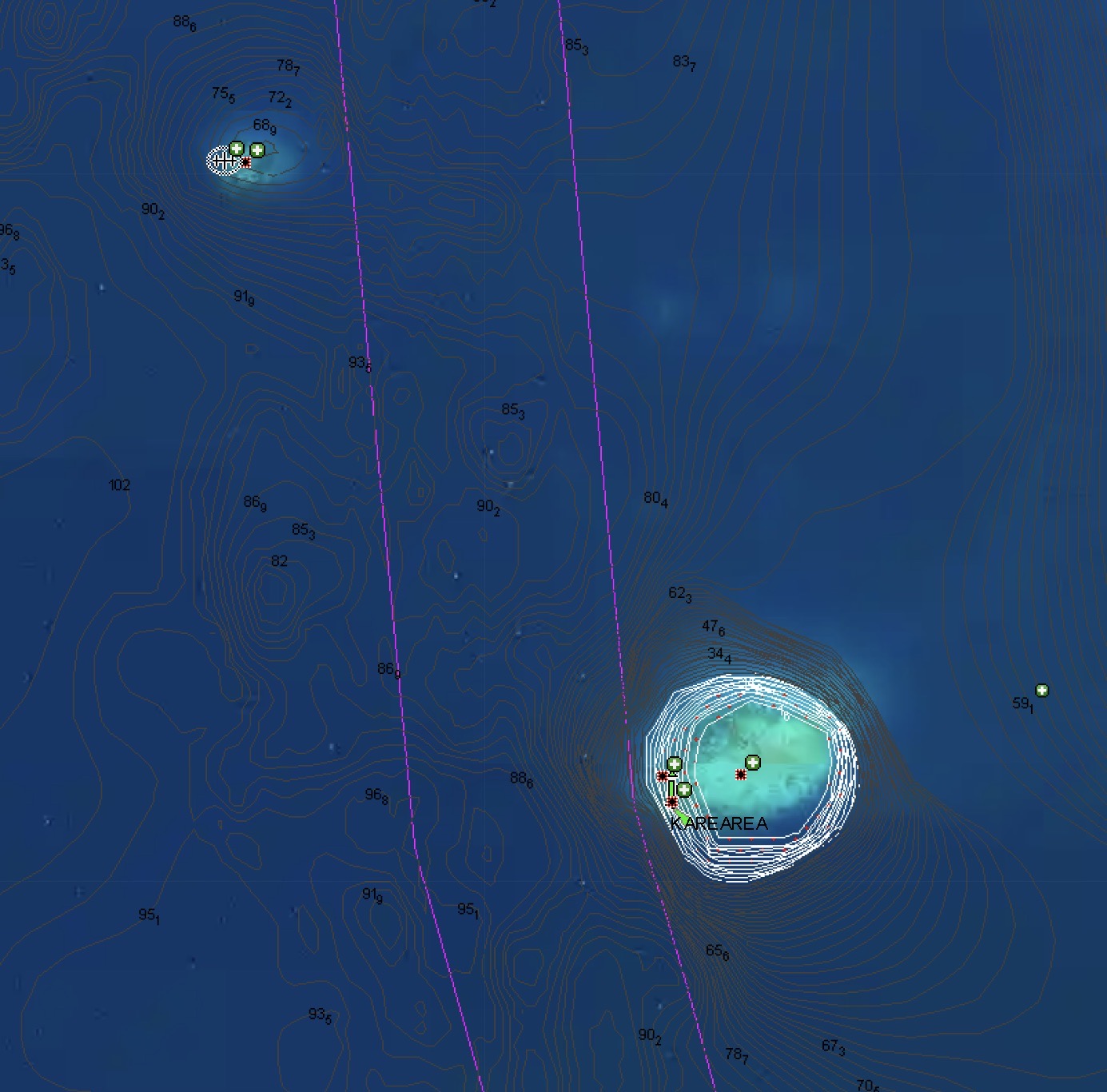
Once through the pass, the lagoon immediately settled back to a serene calm. We decided to thread our way through the six mile stretch of coral shoals and bommies to the other side of the atoll to anchor instead of anchoring just off the town which had even more obstacles to avoid and reports of poor holding.
Inside the atoll of Raroia
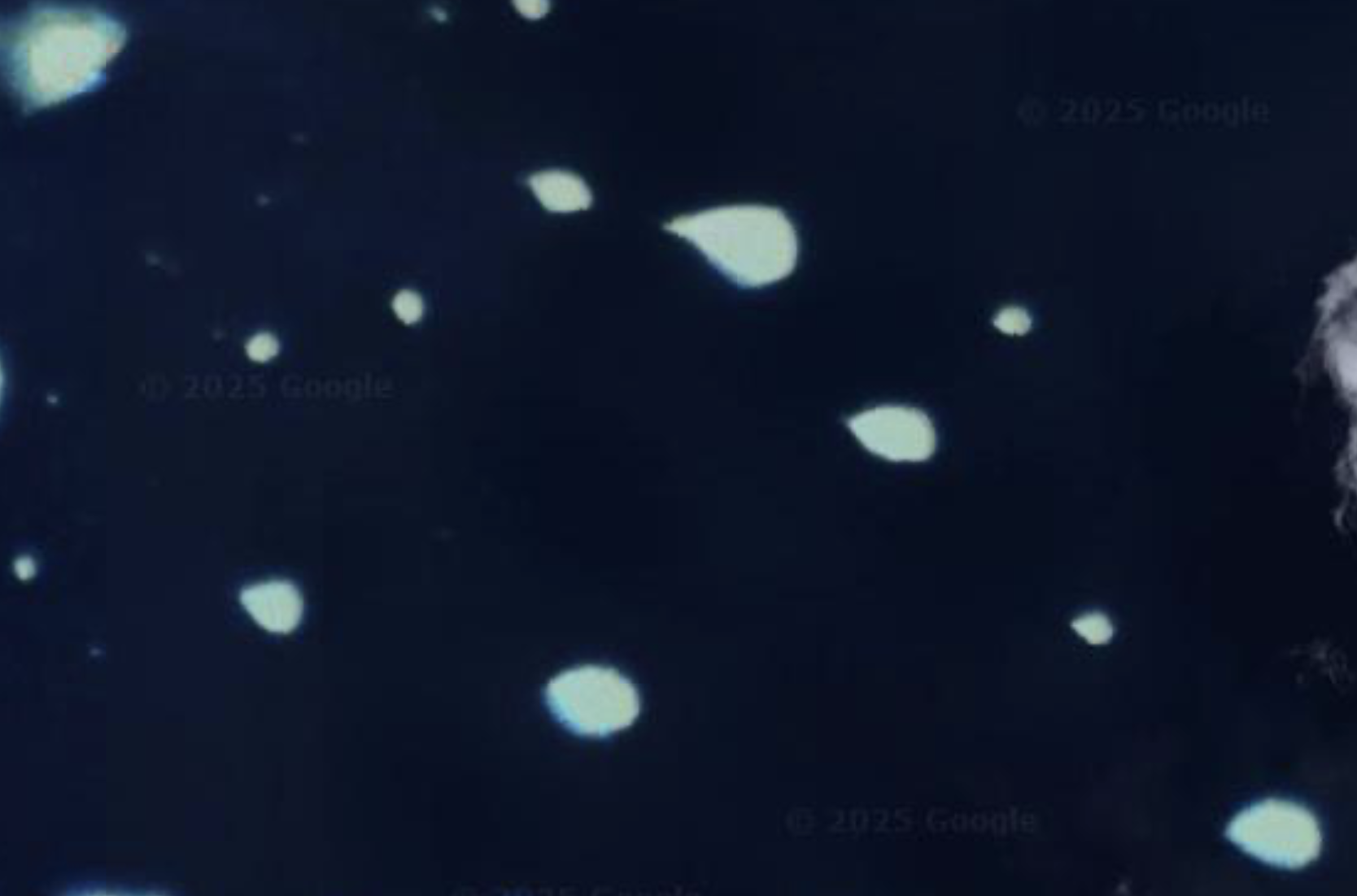
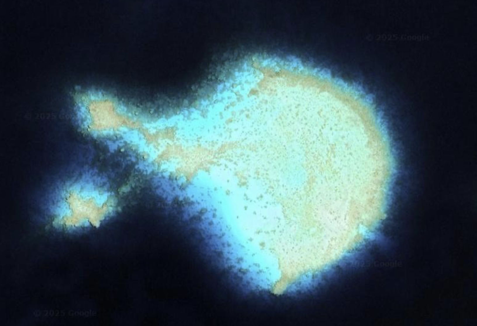
On Google Maps, it looked more like a satellite photo of clusters of galaxies and stars in outer space than a lagoon in the Pacific Ocean. A closer look revealed the field of lights to actually be shallows of rock, coral and sand that would best be avoided if one wanted to remain floating.
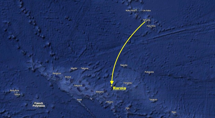
Cautiously, with someone occasionally at the bow acting as lookout, we picked our way through the navigational minefield until we reached the other side. With our chart plotter indicating exactly 420 miles had passed under our hull since departing Tahuata, we finally set anchor.
June 14 – Raroia
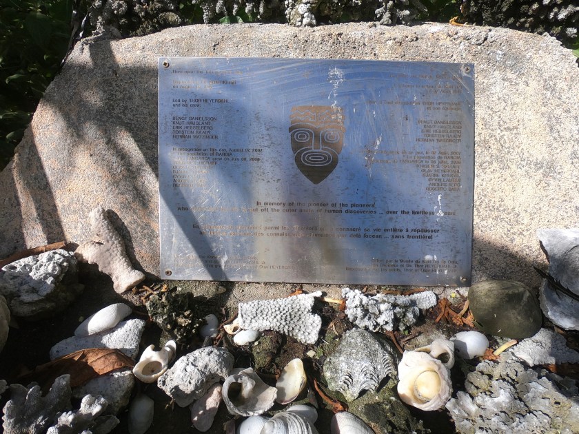
The anchorage we were at was named Kon Tiki. It wasn’t simply an obscure and distant reference to the famous Kon Tiki expedition.
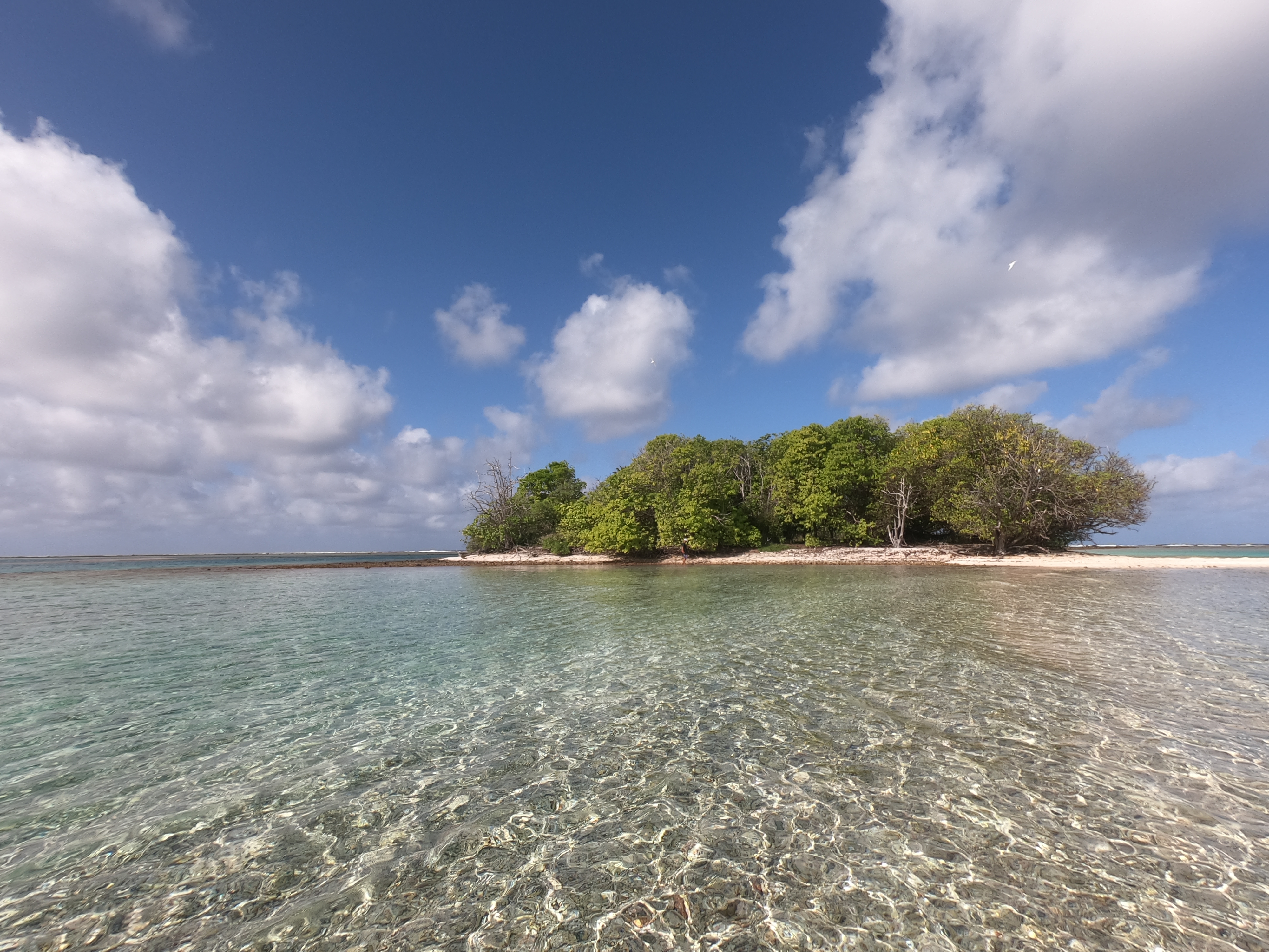
The tiny island currently in front of Exit was the exact location Thor Heyerdahl and his crew came ashore in 1947 after their balsa wood raft Kon Tiki beached having just struck the outer reef of Raroia, 4340 miles from Peru where they had set off from 101 days earlier. At the time, Raroia was uninhabited; Heyerdahl’s party had to wait alone on the island for days until they were rescued by villagers from a nearby island.
Fortunately, we had arrived at the island from the other direction, having had the advantage of accurate electronic charts, engine power, and a more functional sailing vessel. Instead of lying exhausted in the sand, traumatized by having nearly been drowned and crushed on a reef, we were able to enjoy ice cold anchor-beers in our cockpit.
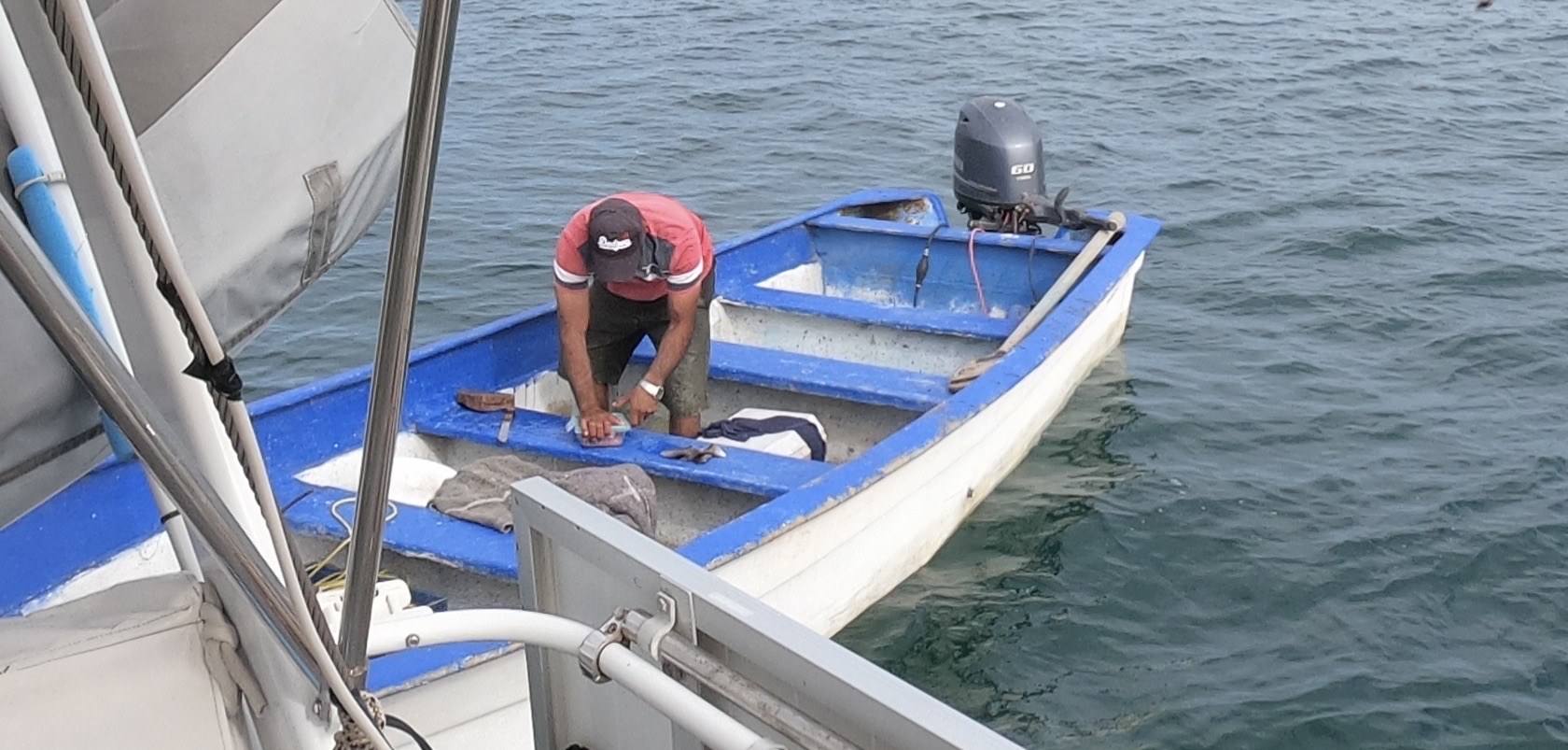
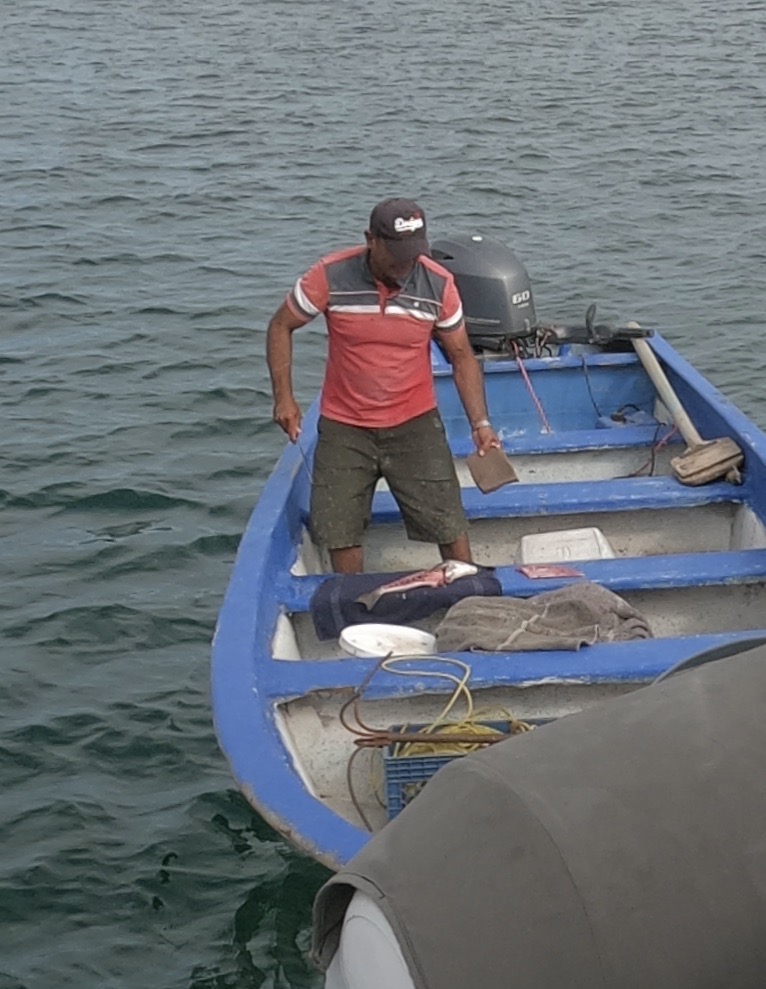
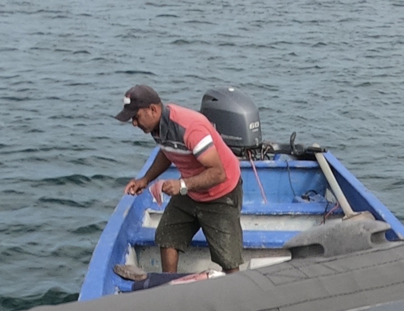
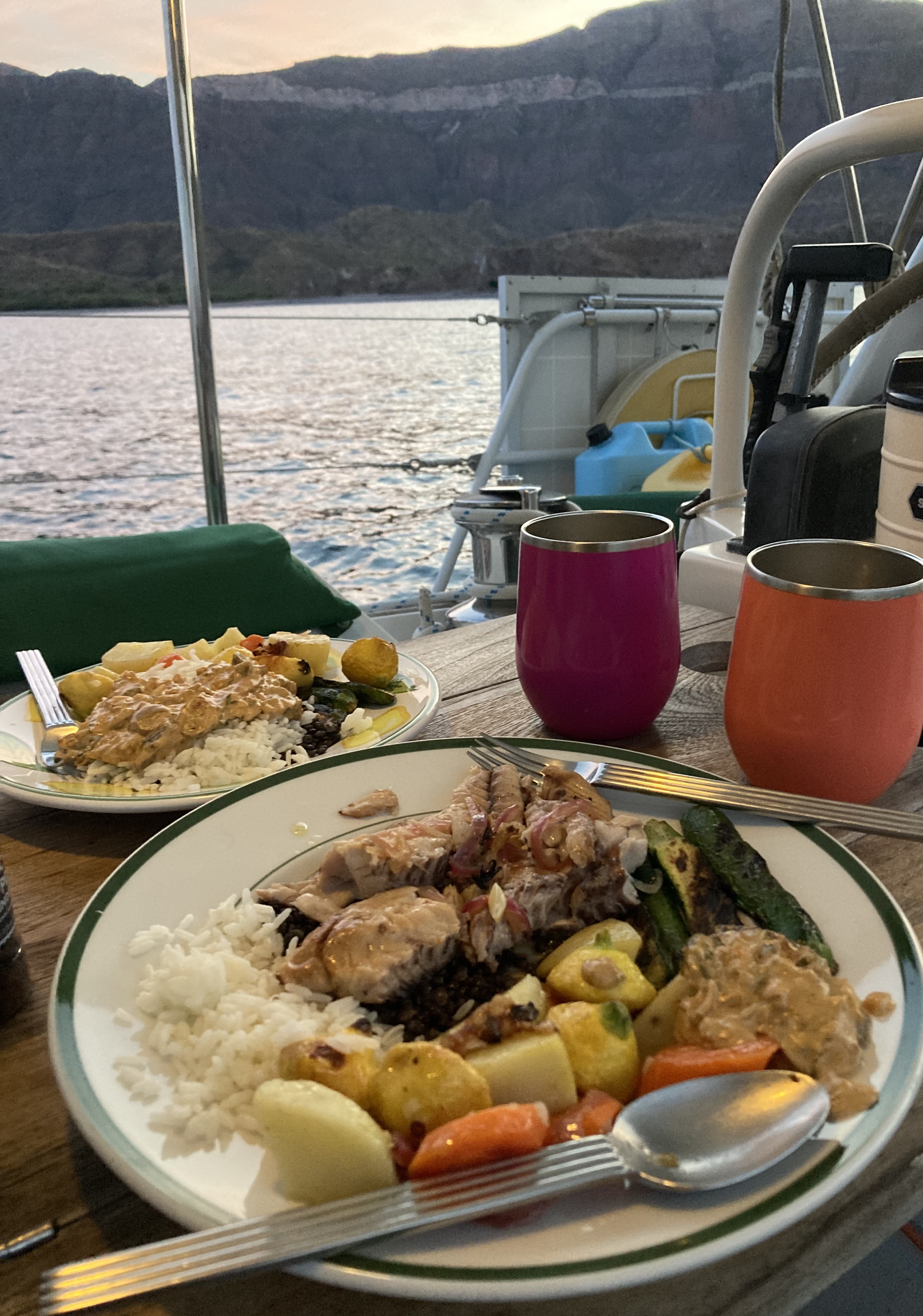
Even better, a short time later, one of the local inhabitants came up alongside us in his small boat and indicated that he had fresh fish prepared three different ways available for us to purchase that was extra from a gathering that was about to commence. Sweeeeeet!
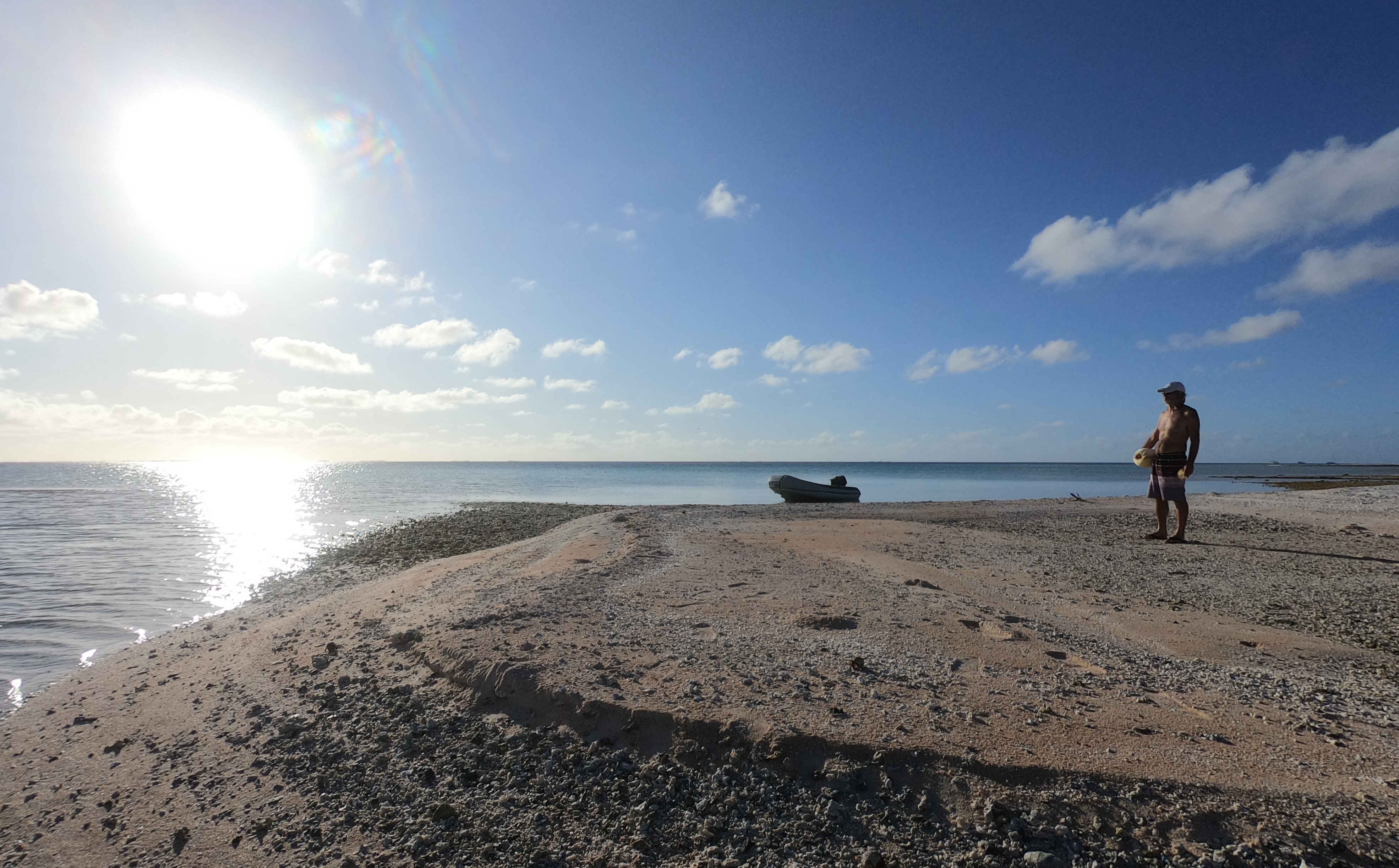
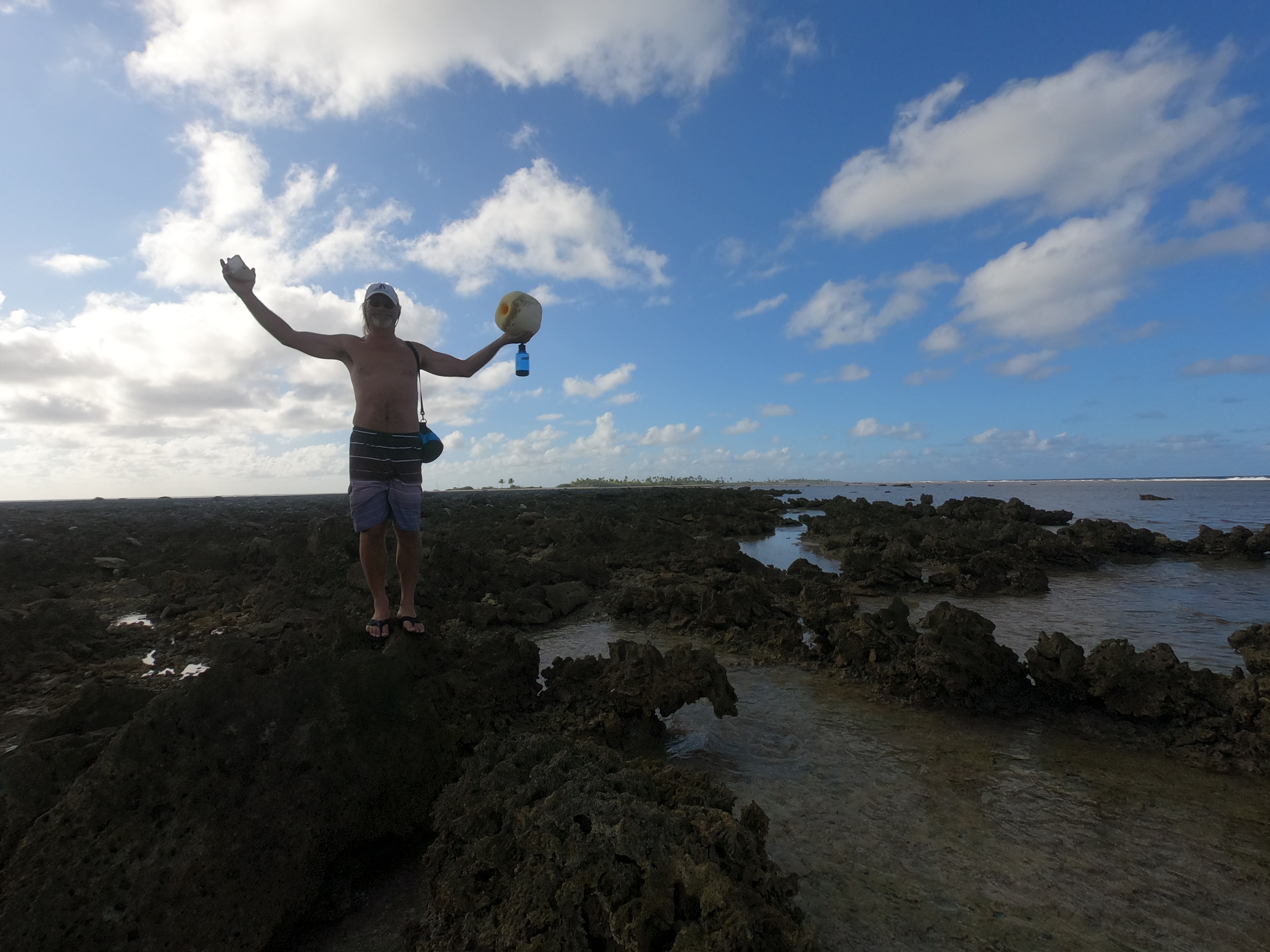
The following day we ventured onto the tiny island for a look around.
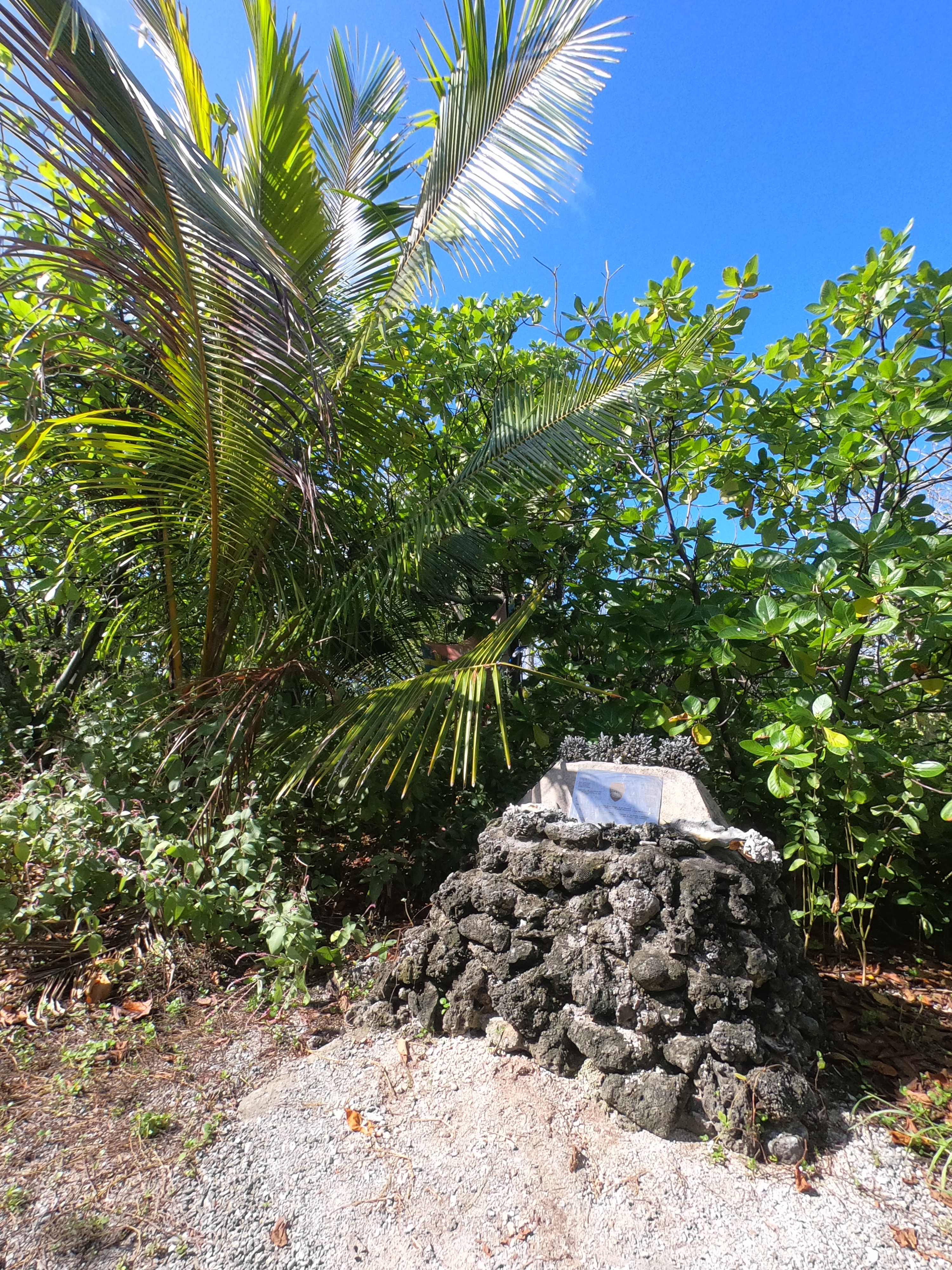
Sure enough, there was the Kon Tiki plaque which had been placed to commemorate Heyerdahl’s epic expedition. Even if contemporary opinion questioned the scientific validity and racial underpinnings of the crew’s adventure as quite controversial, we could certainly appreciate their accomplishment, having just travelled nearly the same trajectory. We thought we were slow moving…fortunately we had fared better than the 1.5 knots they averaged during their voyage.
In one of the tide pools we stumbled across what appeared to be a hermit crab orgy…
Subsequent days were spent doing daily boat tasks and projects interspersed with moments of rest and relaxation which included snorkeling, dinghy excursions, swimming off the transom, and trips to the nearby motus.
A ground level view from the outer edge of the atoll looking back towards the lagoon and then out into the open ocean:
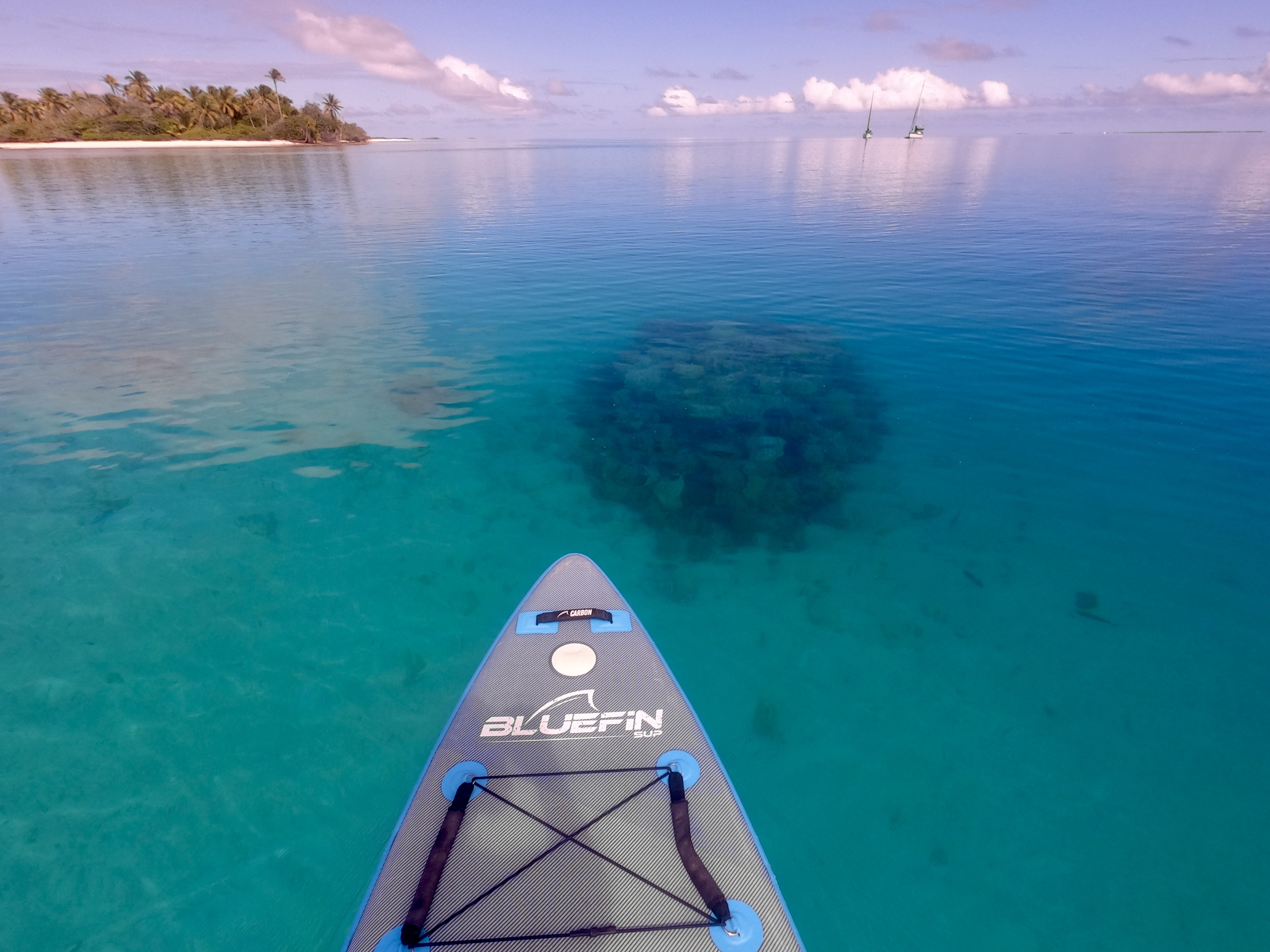
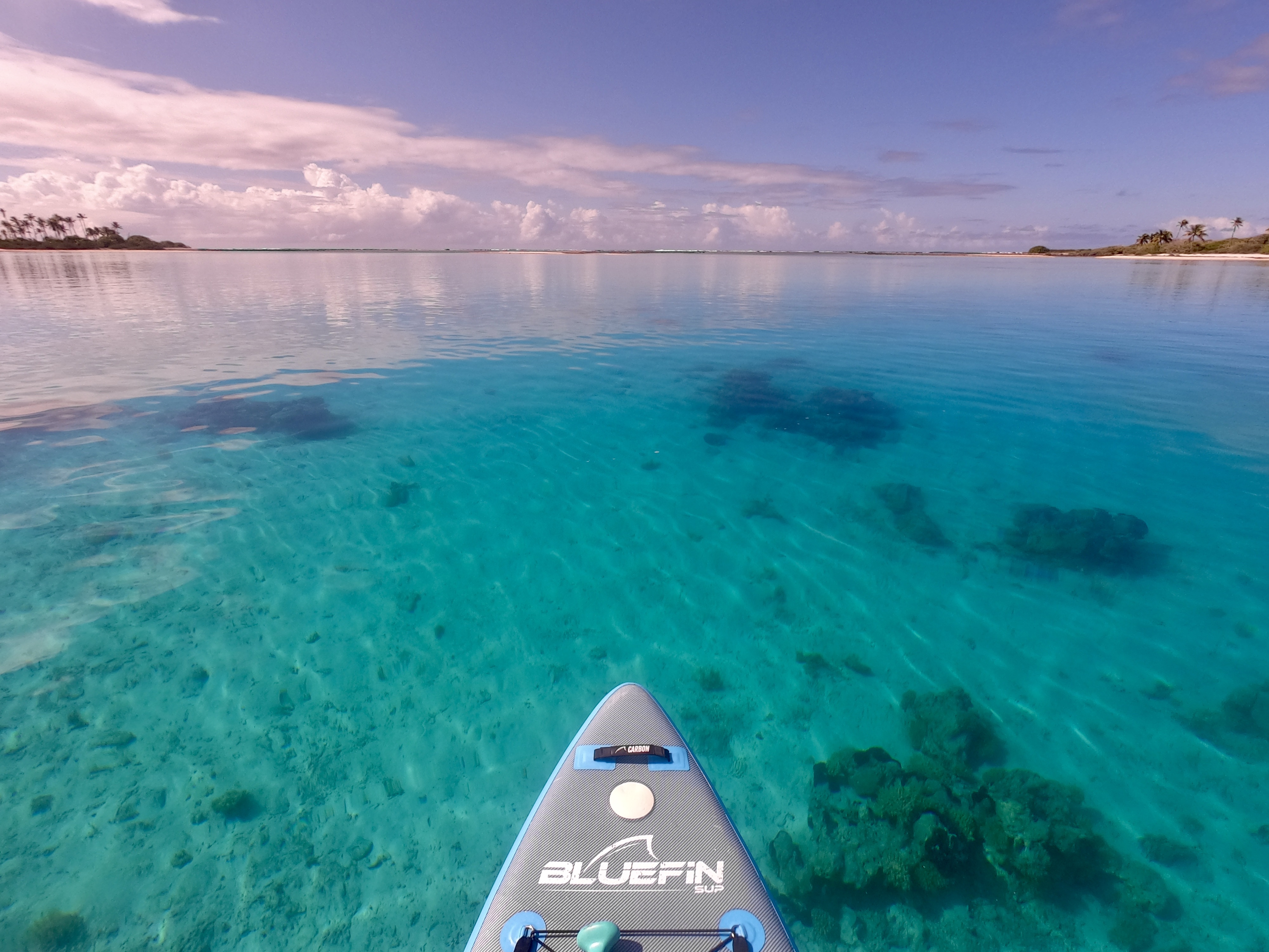
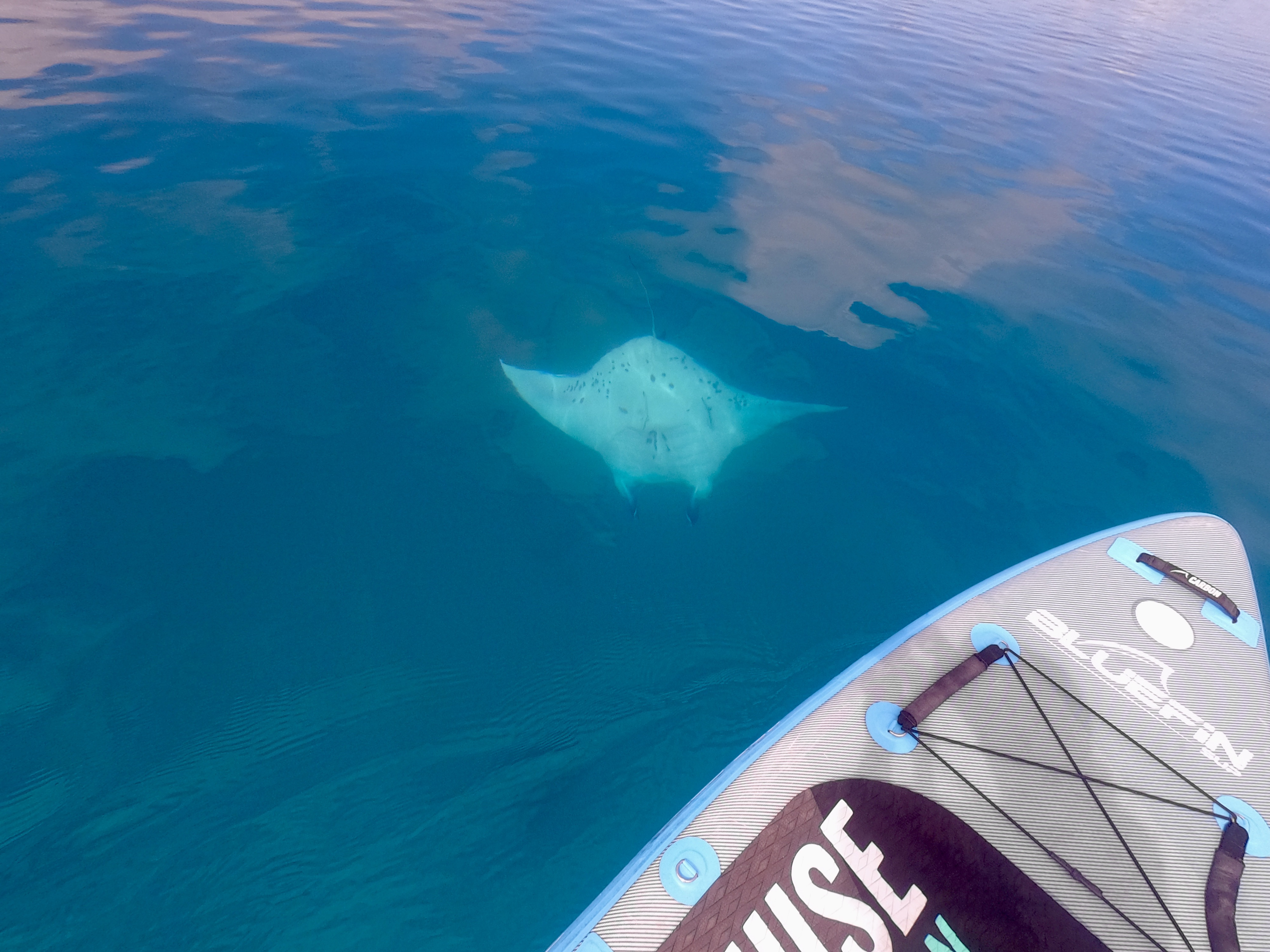
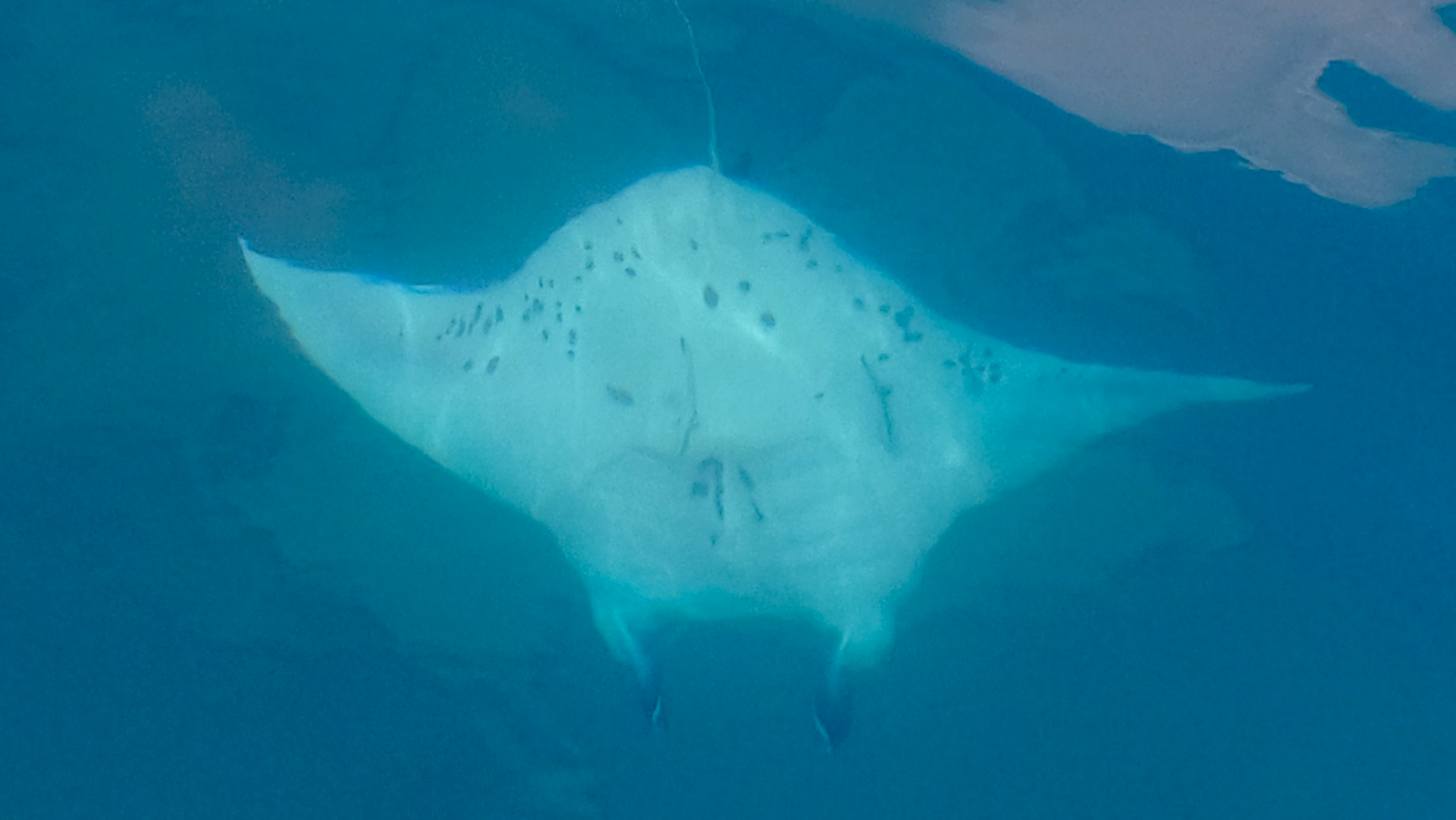
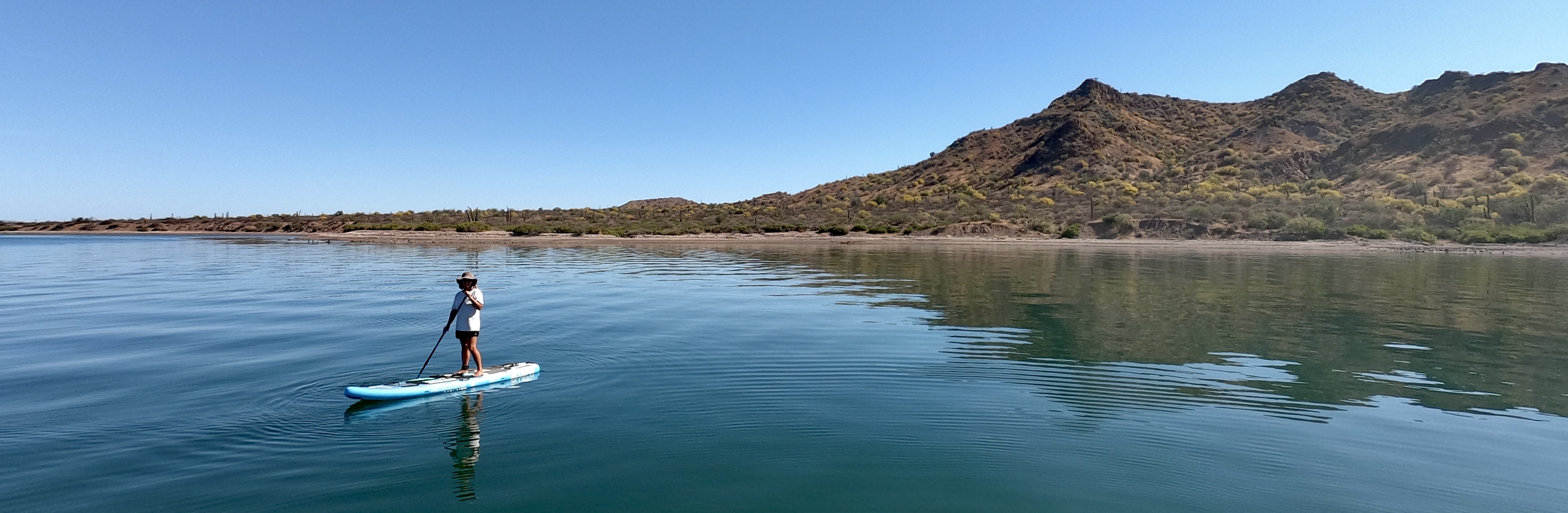
Kris was finally able to get her SUP back up on deck (it had been deflated and stored belowdecks for the crossing from Mexico) and go out for regular paddles again. During one of these SUP explorations she happened across a moment of pure magic…a manta ray! It had been years since our last manta sighting and to say she was absolutely fucking stoked would be a hardy understatement.
Kris’ SUP encounter at Raroia Atoll
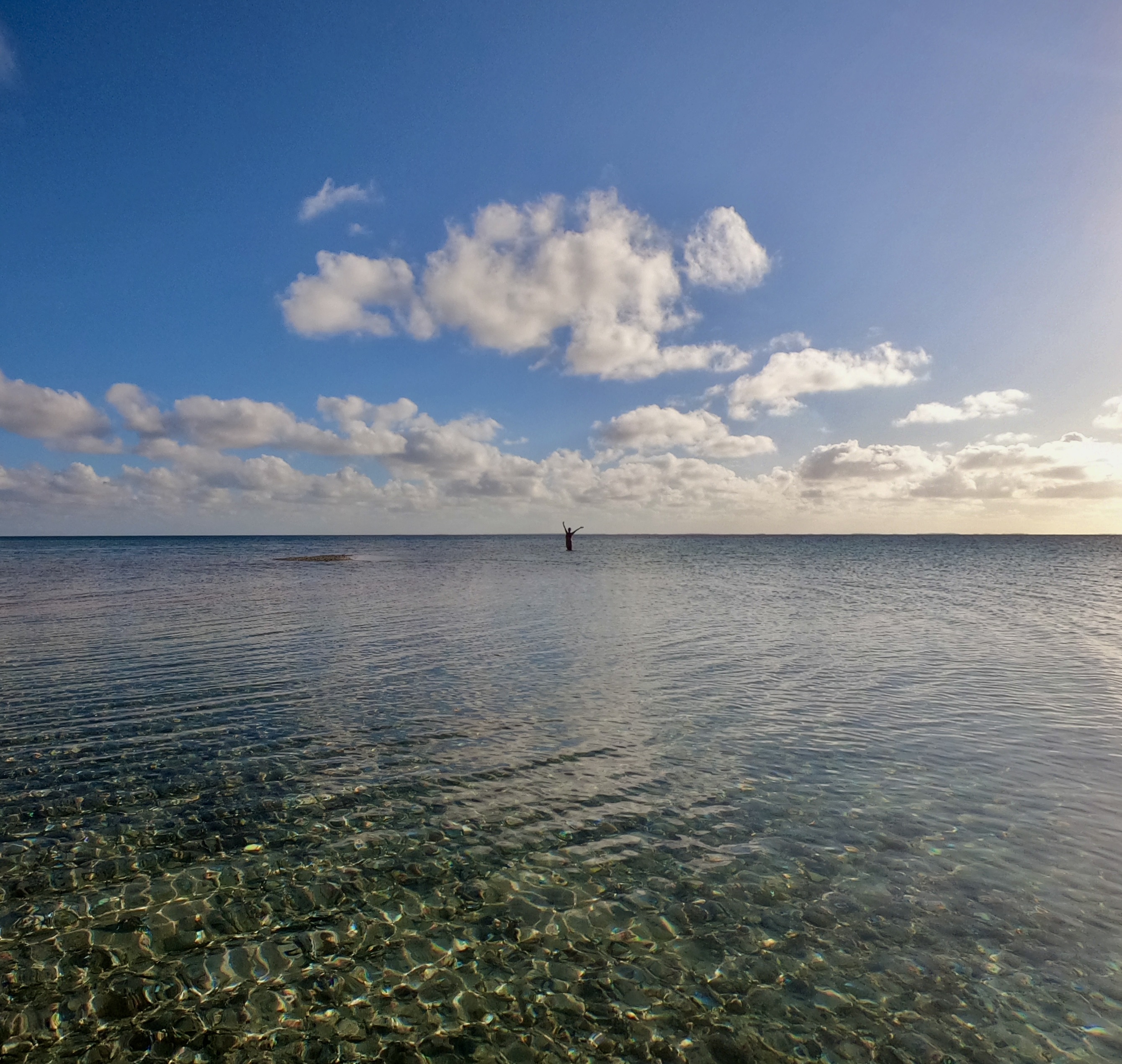
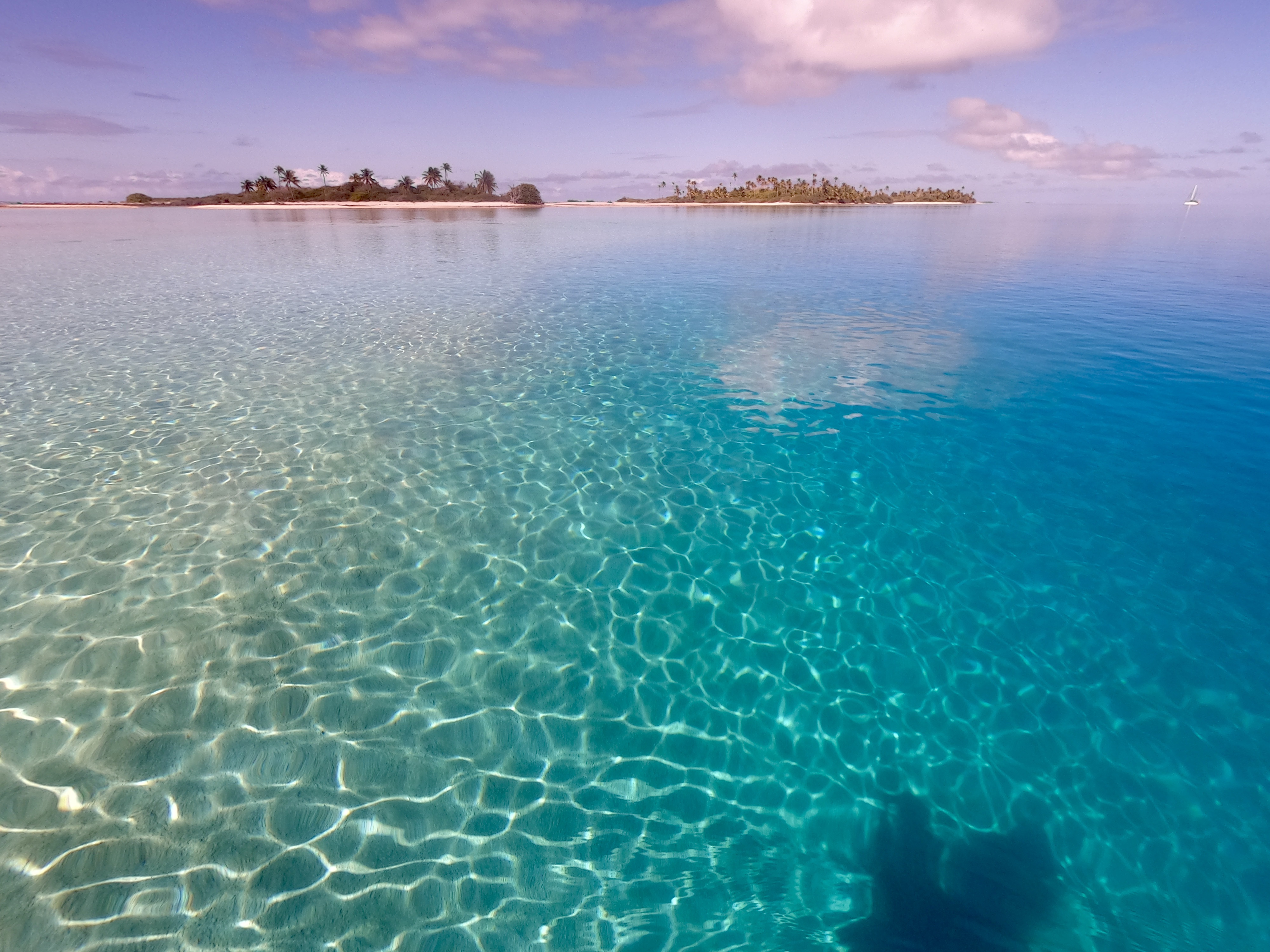
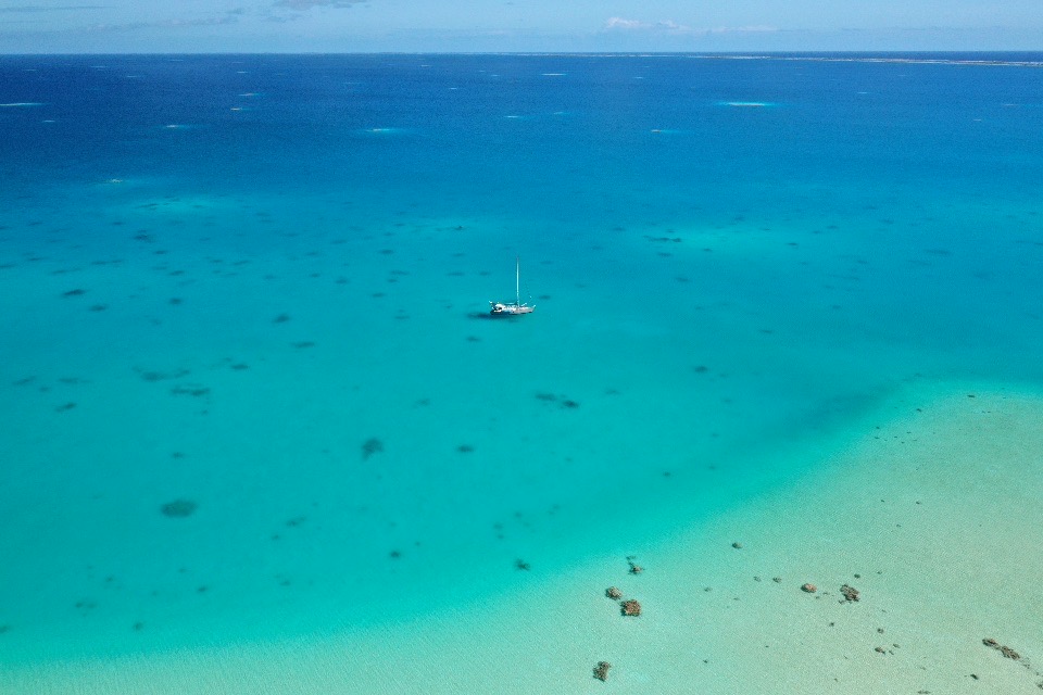
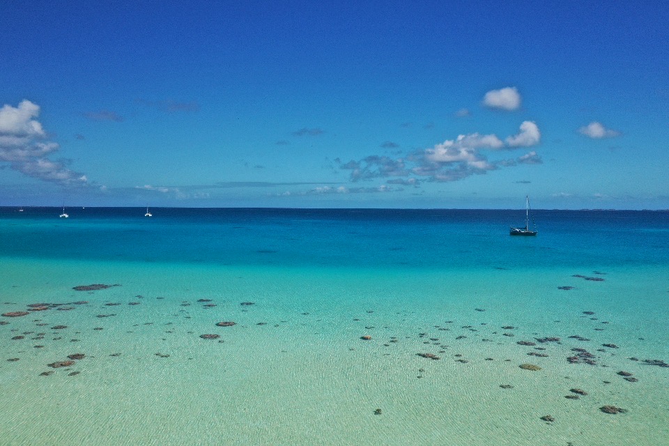
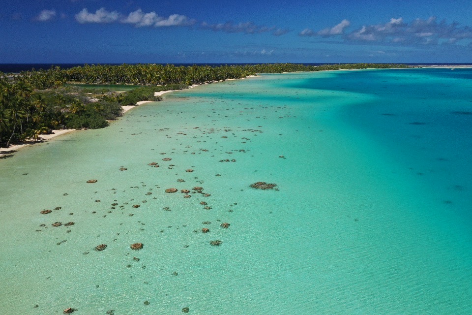
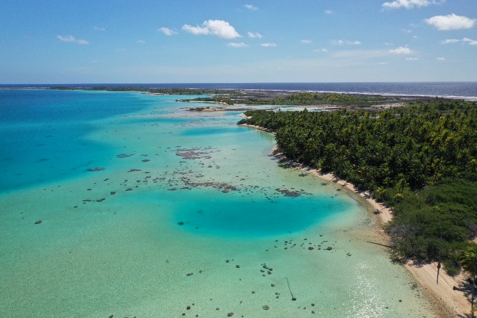
When we finally launched the drone, Space Exit gave us the best visual perspective we had seen so far. The view comparing Exit at anchor inside the atoll with its gin clear water and amazing colors, the untamed Pacific Ocean outside, and the slim strip of rugged tropical paradise separating the two was spectacular.
Space Exit above Raroia
A brief glimpse of a lone blacktop reef shark patrolling the lagoon was a bonus…
We spent about three weeks at anchor in Raroia splitting our time between the Kon Tiki anchorage and one at the north end of the atoll.
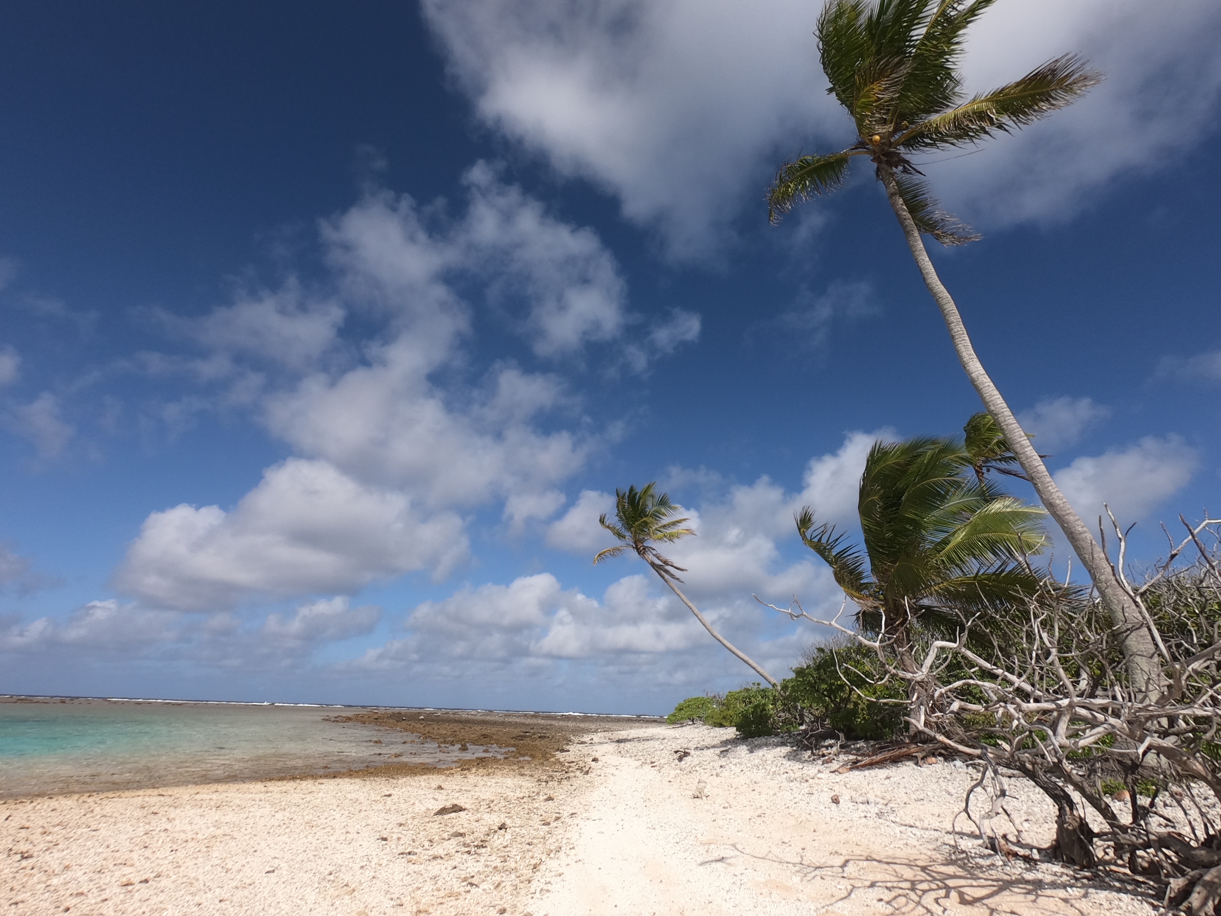
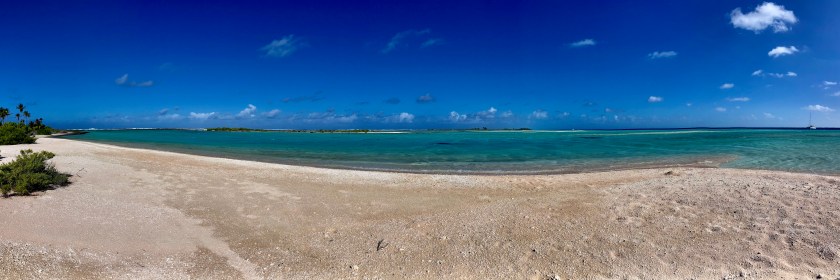
A view from the beach at the Northside anchorage
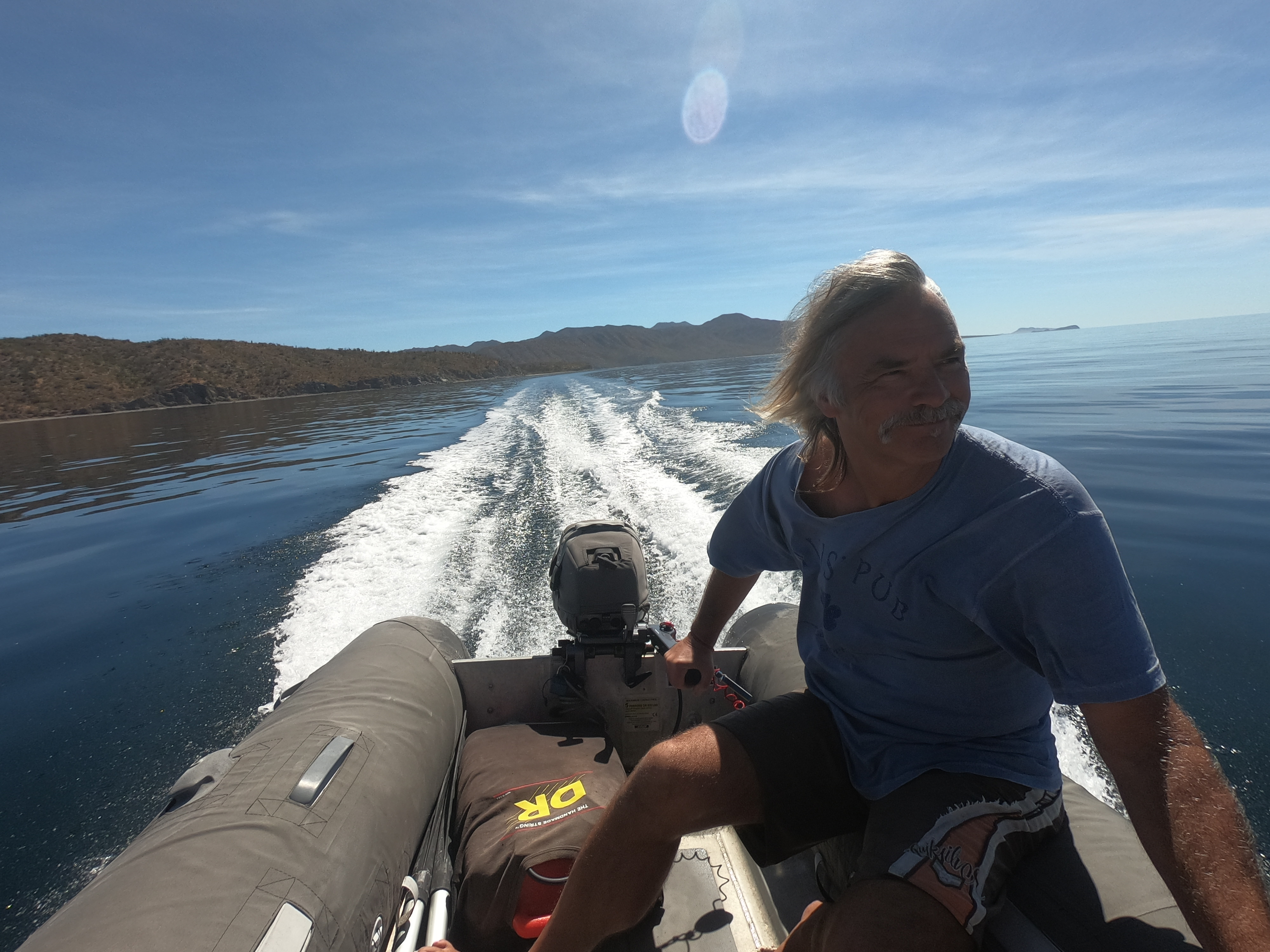
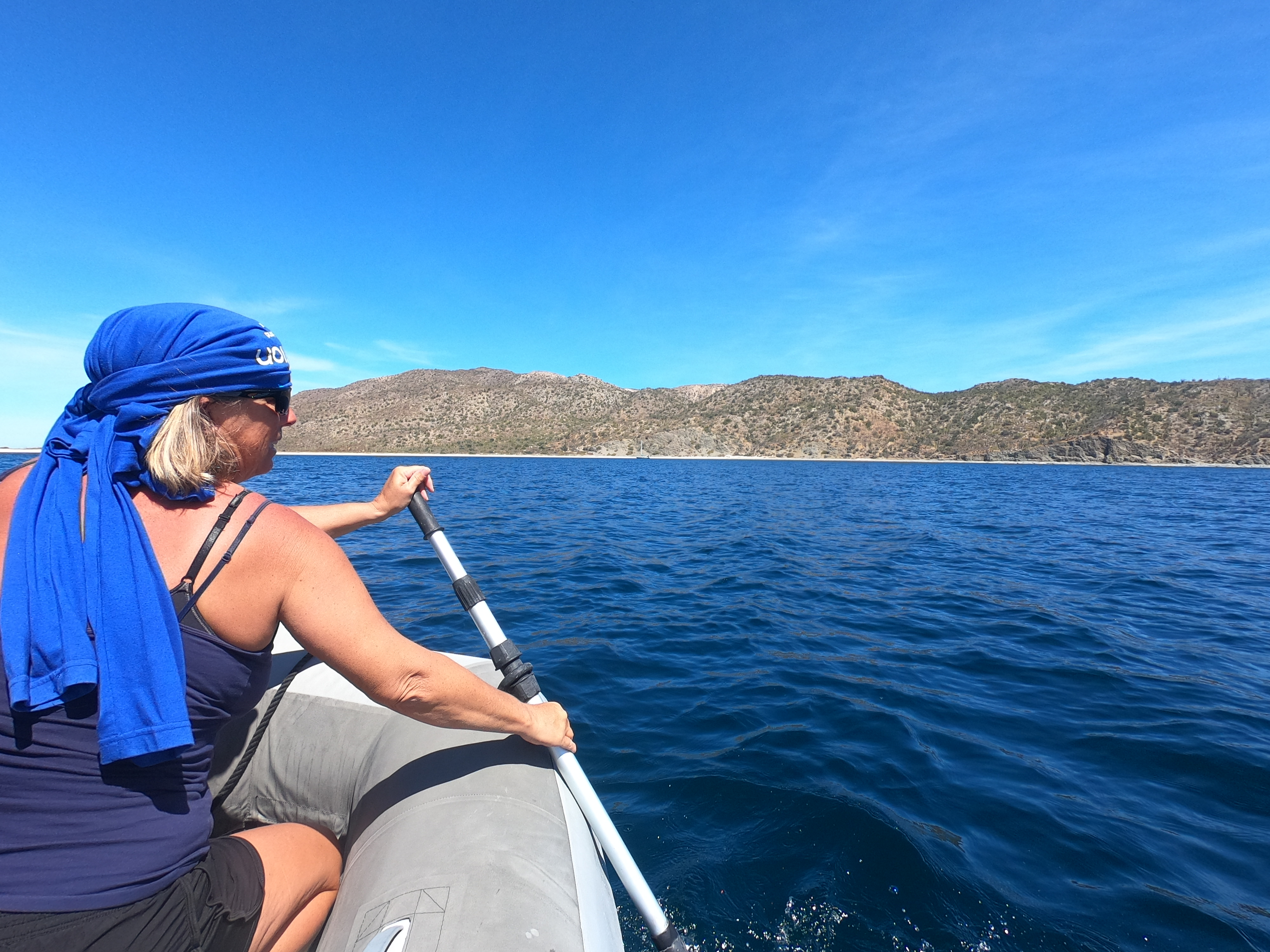
One day while we were out and about in the dinghy we happened across a dozen or so people. Half of them were people from other sailboats anchored nearby; the other half were local inhabitants who had motored up in their small boat from the village ten miles to the south, just beyond the pass we had entered when we first arrived at Raroia, for a relaxing day at the beach. The locals had brought food, drinks, and a couple of ukuleles. We spent the afternoon eating, drinking and getting to know each other. I even had the opportunity to play along when one of the guys offered up his ukulele to me for a while.
During this time we also made arrangements to have the captain come back by a few days later to take six of us out for a dive in the pass. There was no dive shop. No guide. We had to bring all our own gear and sort out the logistics ourselves. He was a local who had lived on Raroia his whole life – an experienced fisherman and boatman.
Within minutes of entering the water, just as we started descending, we came face to face with one of the three species of sharks we have always said would make us nervous encountering…a ten to twelve foot tiger shark! The first we had ever seen. None of the other divers even saw it. It had turned away and disappeared beyond our range visibility before the two inexperienced divers had even dropped below the surface, but we had sure as hell seen it.
Moments later we found ourselves an area at the side of the pass that opened up like a bit of a horseshoe, alongside a wall, where quite strong currents were picking up. Dozens of grey reef sharks were circling around. The inexperienced divers had already drifted off with the current towards the inside of the lagoon before we had even reached the bottom but seemed not to be stressed or panicking so we continued on with the other two divers. We managed to locate a spot that we could maintain our position and remained there for quite some time, enjoying the large gathering of sharks.
Even with a random drop in the pass, the dive was incredible. We had seen our first tiger shark and came up at the end with huge smiles plastered across our faces.
However, everything comes at a price. Apparently King Neptune required a sacrificial offering in exchange for his generosity. We were on a small local boat build for transporting people and fishing, not diving, and we had to wrestle a bit to get ourselves and our gear back inside the boat. Once everyone was inside and we started to head out, we realized the one thing we were missing was our GoPro in its underwater housing that we had taken on the dive. The wrist lanyard had obviously slipped off at the surface as we struggled to get our equipment off and into the boat. Shit. It was gone.
Unfortunately, it would not be in the cards for us to acquire a replacement until we reached Tonga. Definitely, a real bummer…but we had seen a tiger shark!
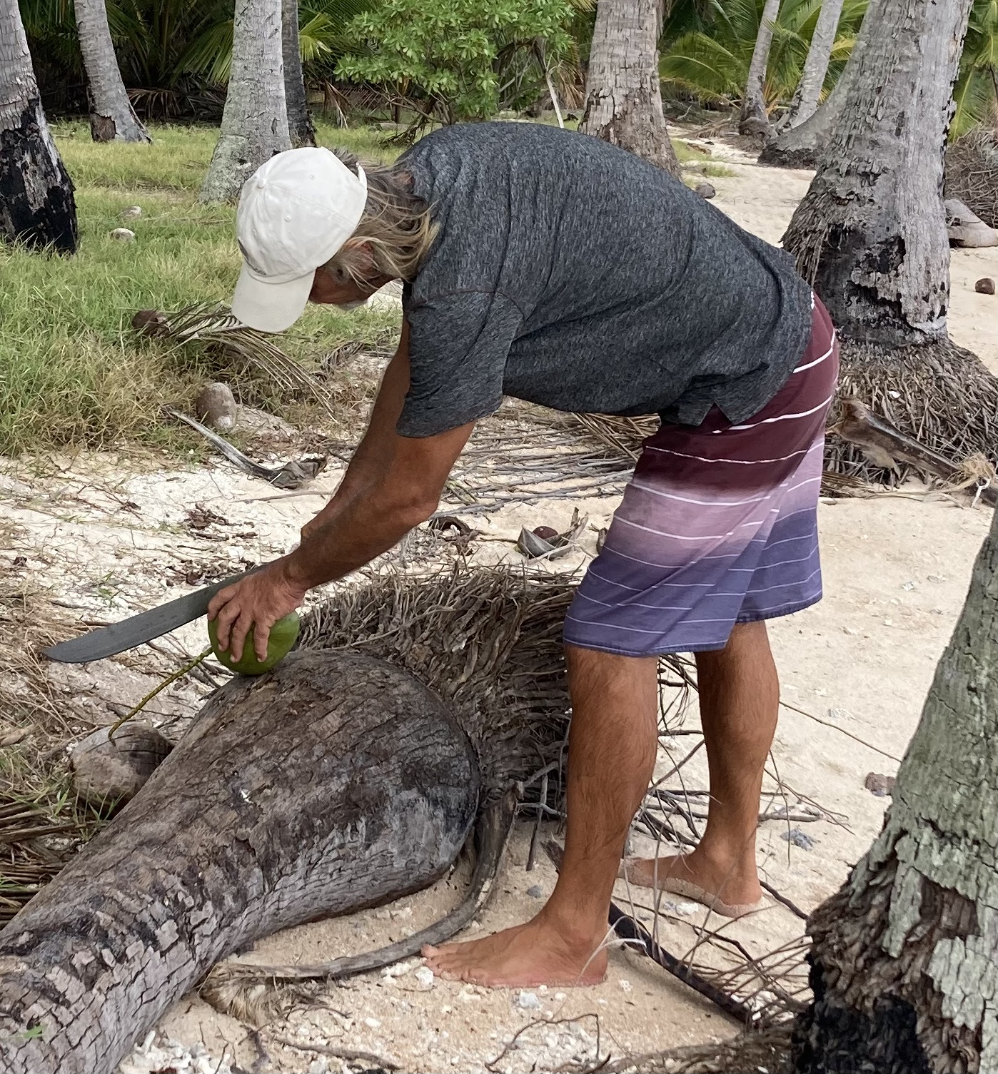
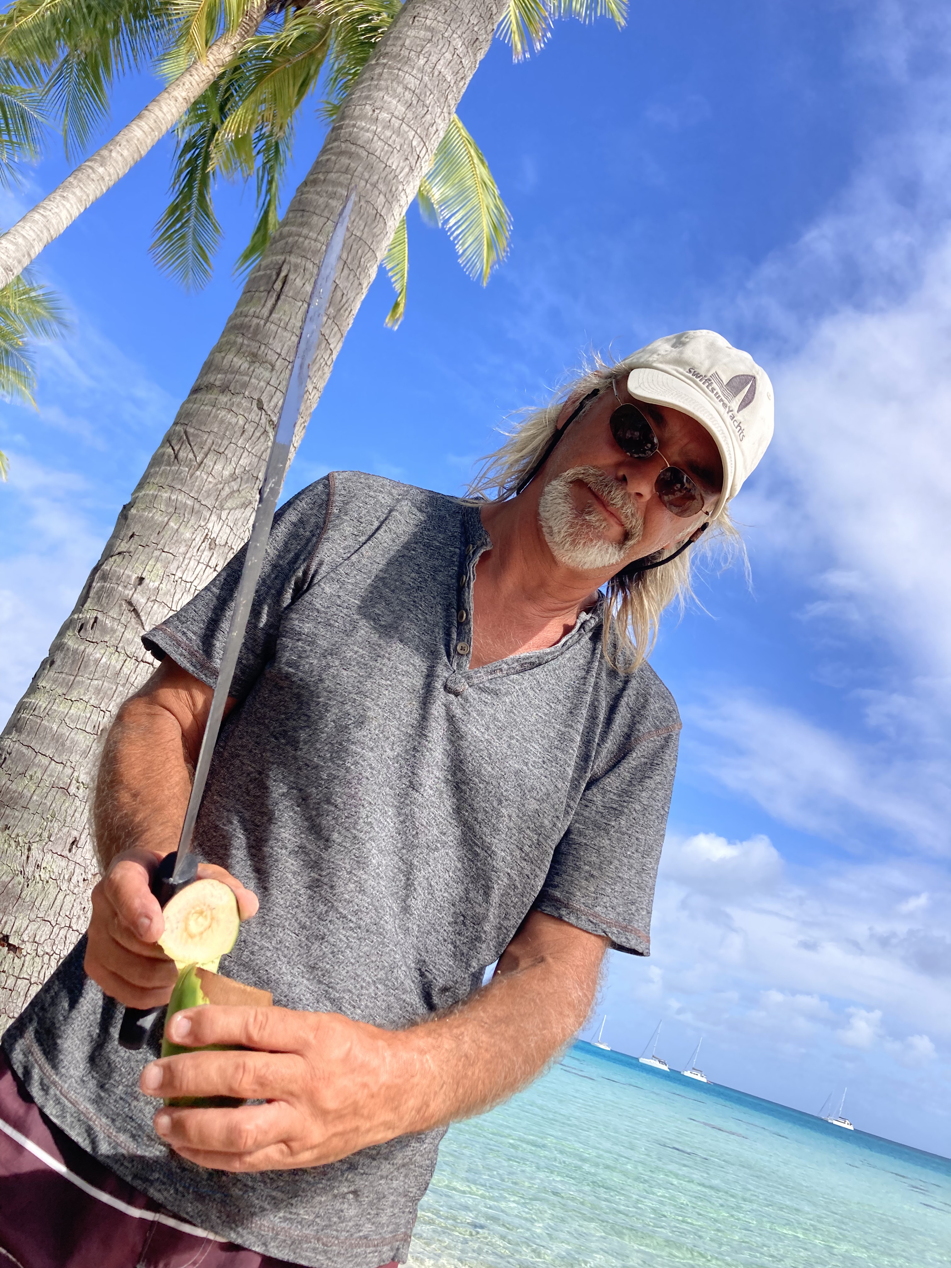
During another one of our dinghy excursions to a beach I had a deja vu moment back to Pulau when Kris took an entertaining video of me attempting to open a coconut. Though I had not grown that much more adept at the task during the past fifteen years, I was eventually able to harvest the luscious coconut water while managing to keep all ten of my fingers intact. Fortunately for Kris, I refrained from the fake Australian accent this time around.
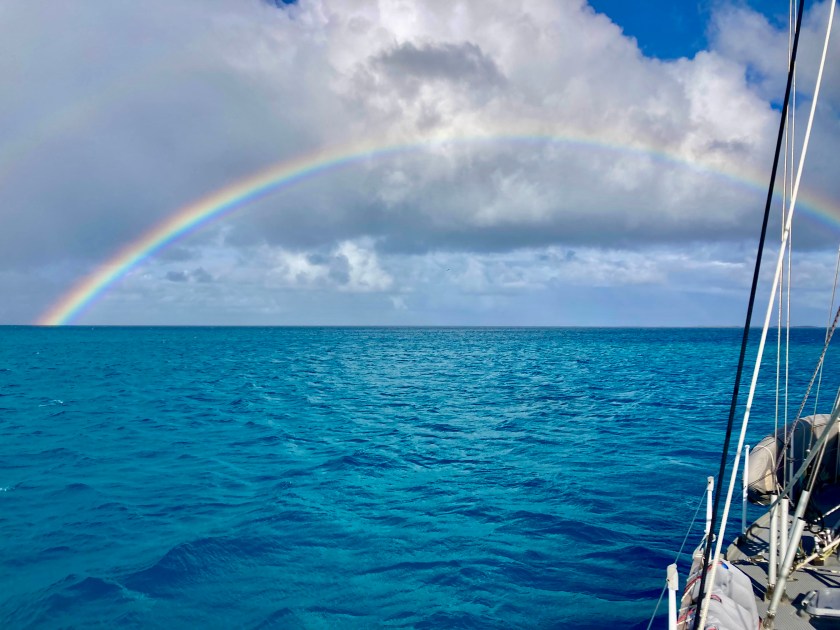
On our final day at anchor inside the atoll of Raroia we were treated to a full rainbow, even though the squall that had generated it had passed around us… the beauty of seeing a rainbow while avoiding getting wet.
Rainbow on the final day at Raroia
The following day we departed Raroia bound for the atoll of Tahanea, some one hundred thirty nautical miles to the southwest. Makemo is the more popular destination for many sailboats, which may have helped prompt our decision.
Another overnight sail.
We expected winds in the upper teens. However, the twenty-four knot winds we were actually seeing as we picked up anchor, as well as a discrepancy in what we expected to be slack tide with no currents in the pass, led to one hell of a very messy start. As we bucked and rolled through the channel riding atop a four knot current (at least it wasn’t against us), we wondered if we had mis-calculated by a day or two.
We never saw less than nineteen knots of wind and it picked up as high as twenty-seven knots that evening with big eight foot waves. Sloppy…but doable. In the end, we endured what could be described as a quite sporty passage. But at least we were able to sail for twenty three of the twenty six hours. To our chagrin, our autopilot Jeeves once again decided to take part of the night off…at 1:30am of course. This was becoming a rather annoying habit.
We arrived at Tahanea just after noon and were digging anchor beers out of the freezer by early afternoon.
Over the course of a few days, we took the dinghy out for a reconnaissance and exploration in both passes.
The currents were too strong and conditions around the passes just not predictable and calm enough for us to consider an unassisted dive while leaving the dinghy unattended but snorkeling with the dinghy floating alongside us on a painter line seemed very doable.
Though disappointed to not be able to dive, we still maintained confidence that it would be worthwhile even snorkeling. We were soon very glad we had come to that conclusion. During our first snorkel in the left pass, we saw yet another tiger shark! At least ten feet long, it was just about the same size as the on we had seen on Raroia. However, without being underwater with our dive gear on (giving us more more of the appearance and feeling of being just another large predator), wearing only a mask, snorkel and fins at the surface left us feeling much more exposed and intimidated…more like prey rather than more like equal observers. Still, after a short time it gracefully glided off out of view. Holy shit… two atolls, two tiger sharks. We also saw big grey reef sharks and even bigger silver tip sharks swimming below us near the entrance of the pass over the next couple of snorkels. Amazing!
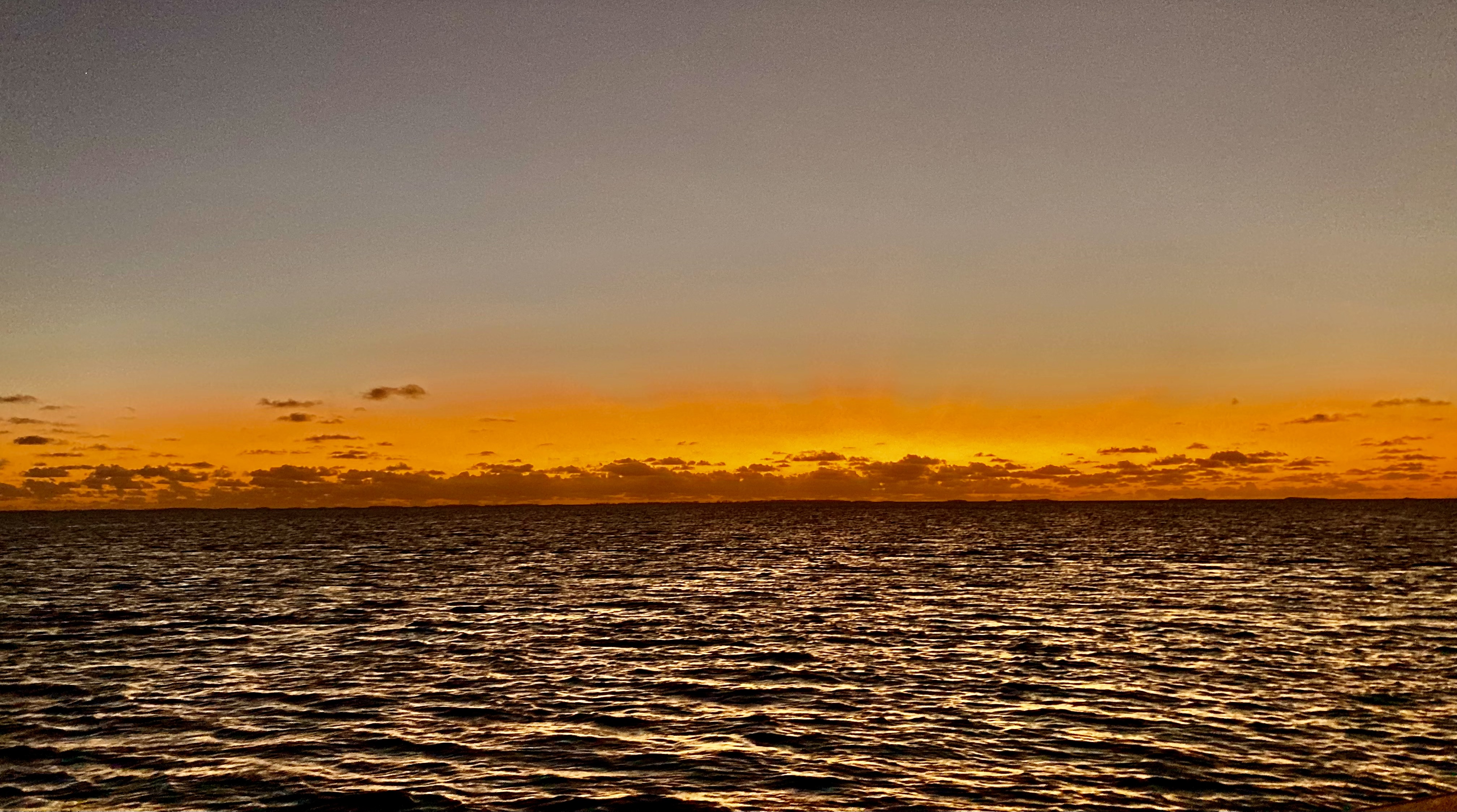
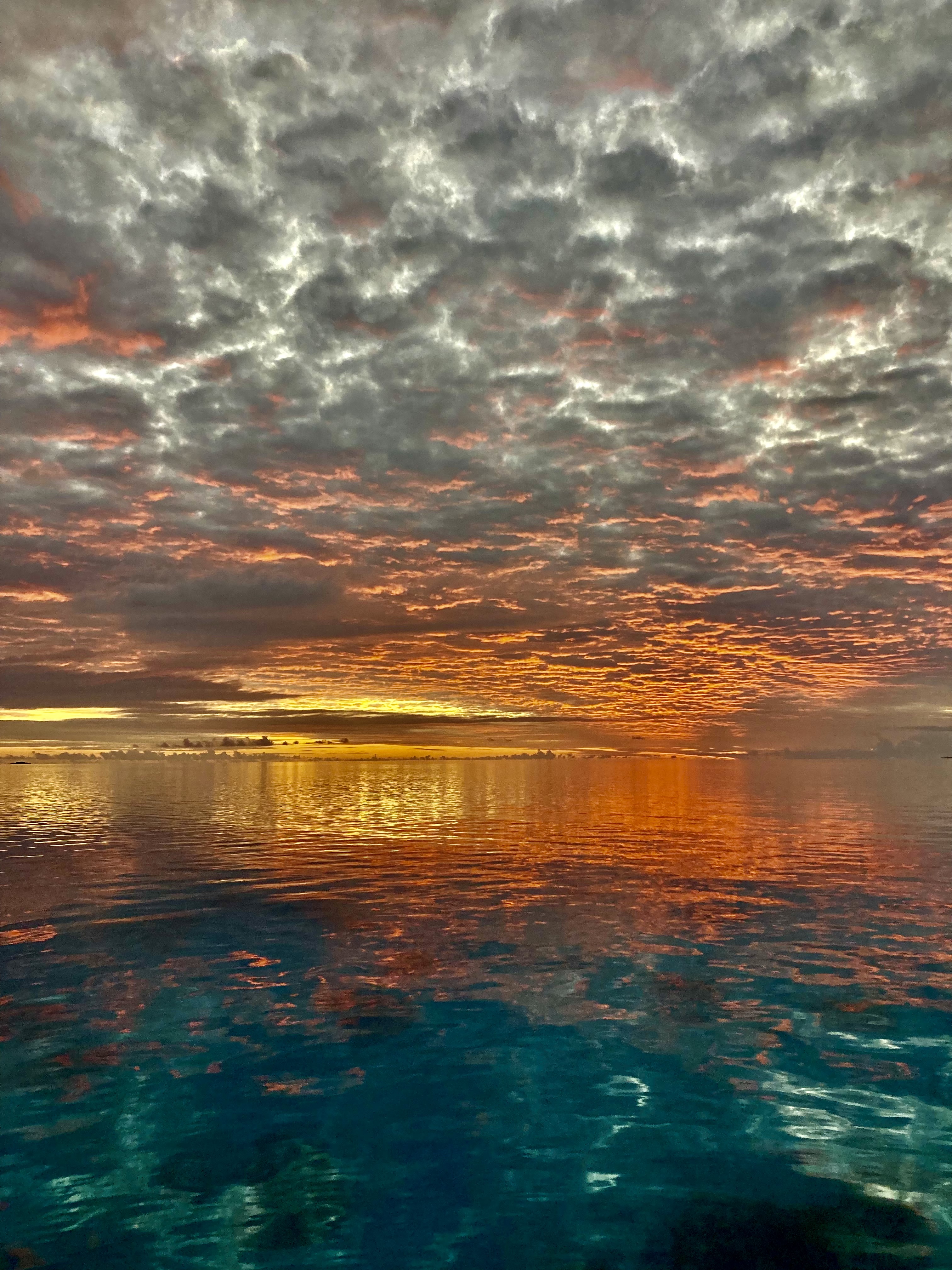
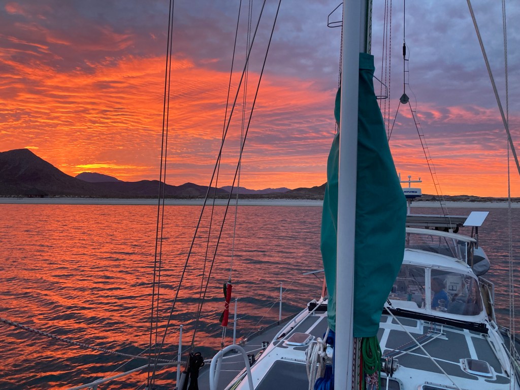
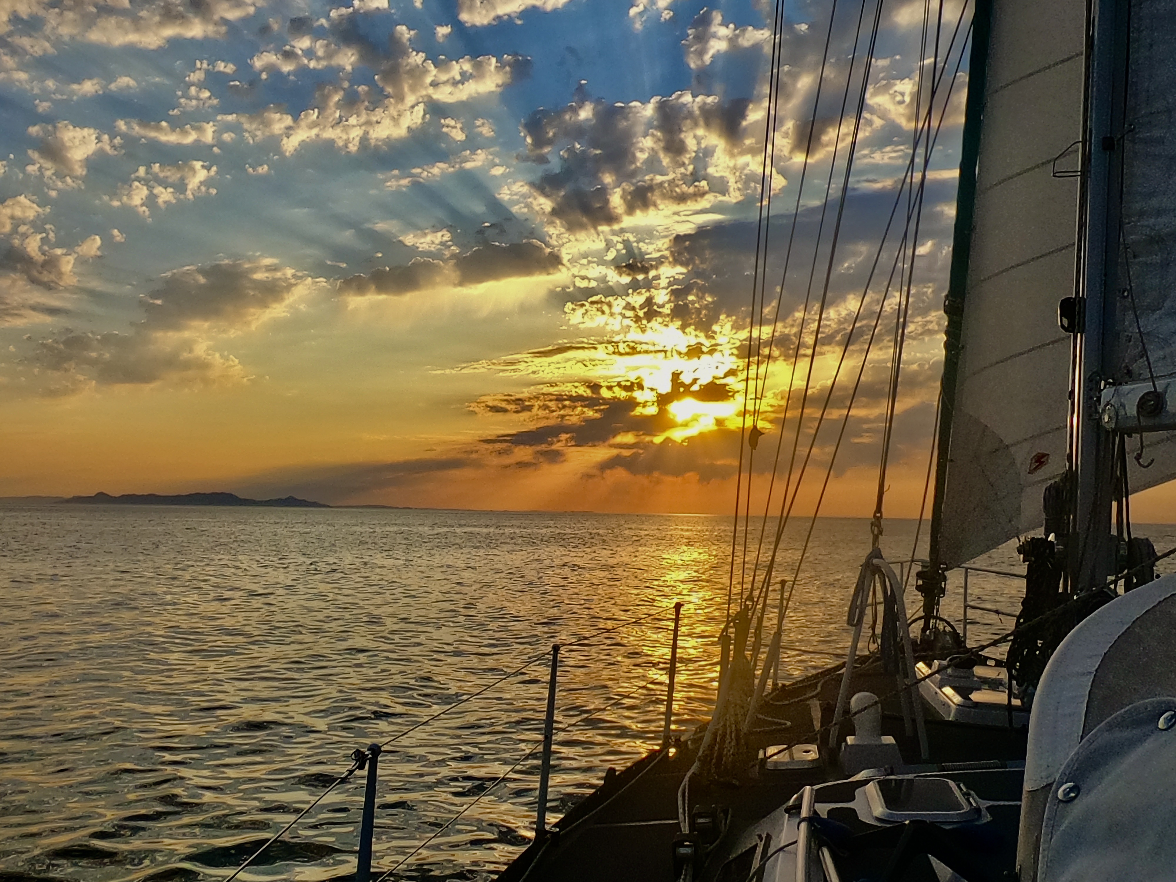
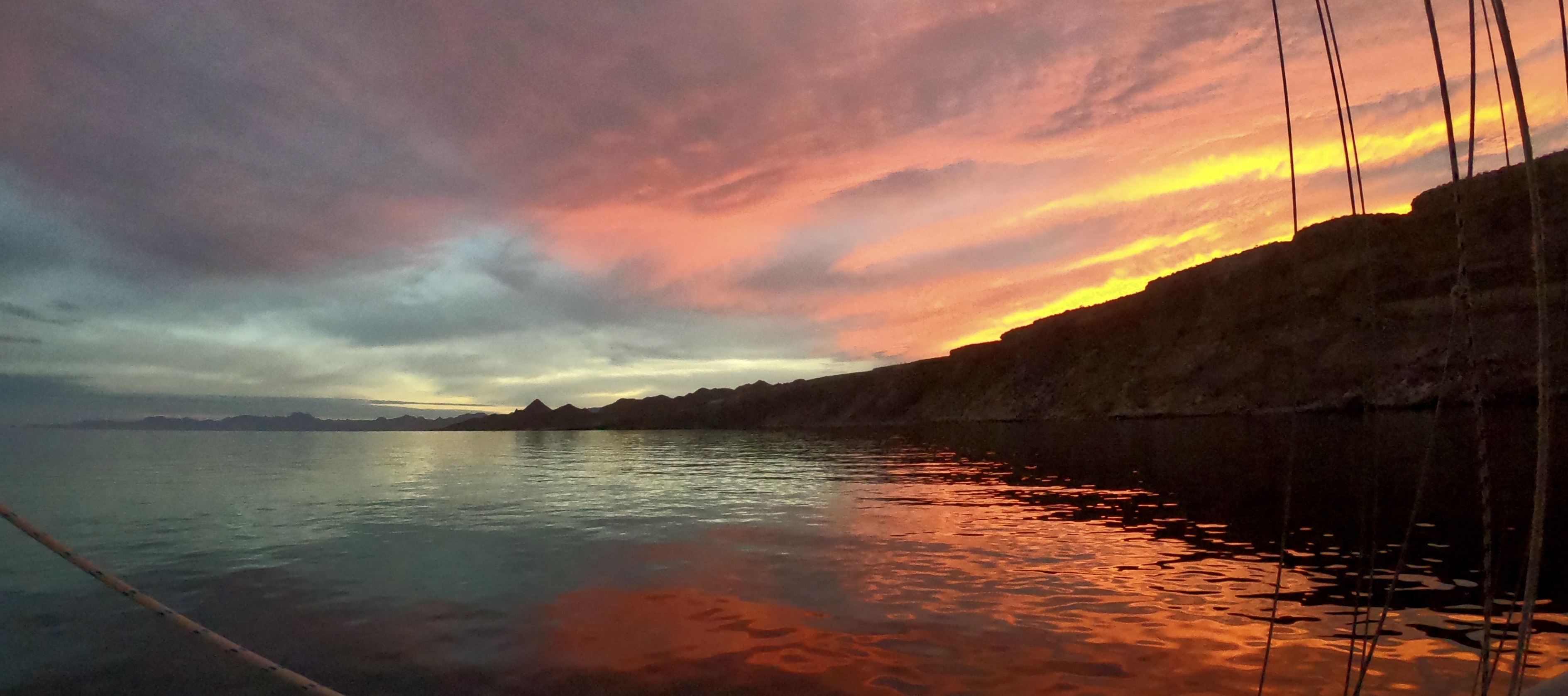
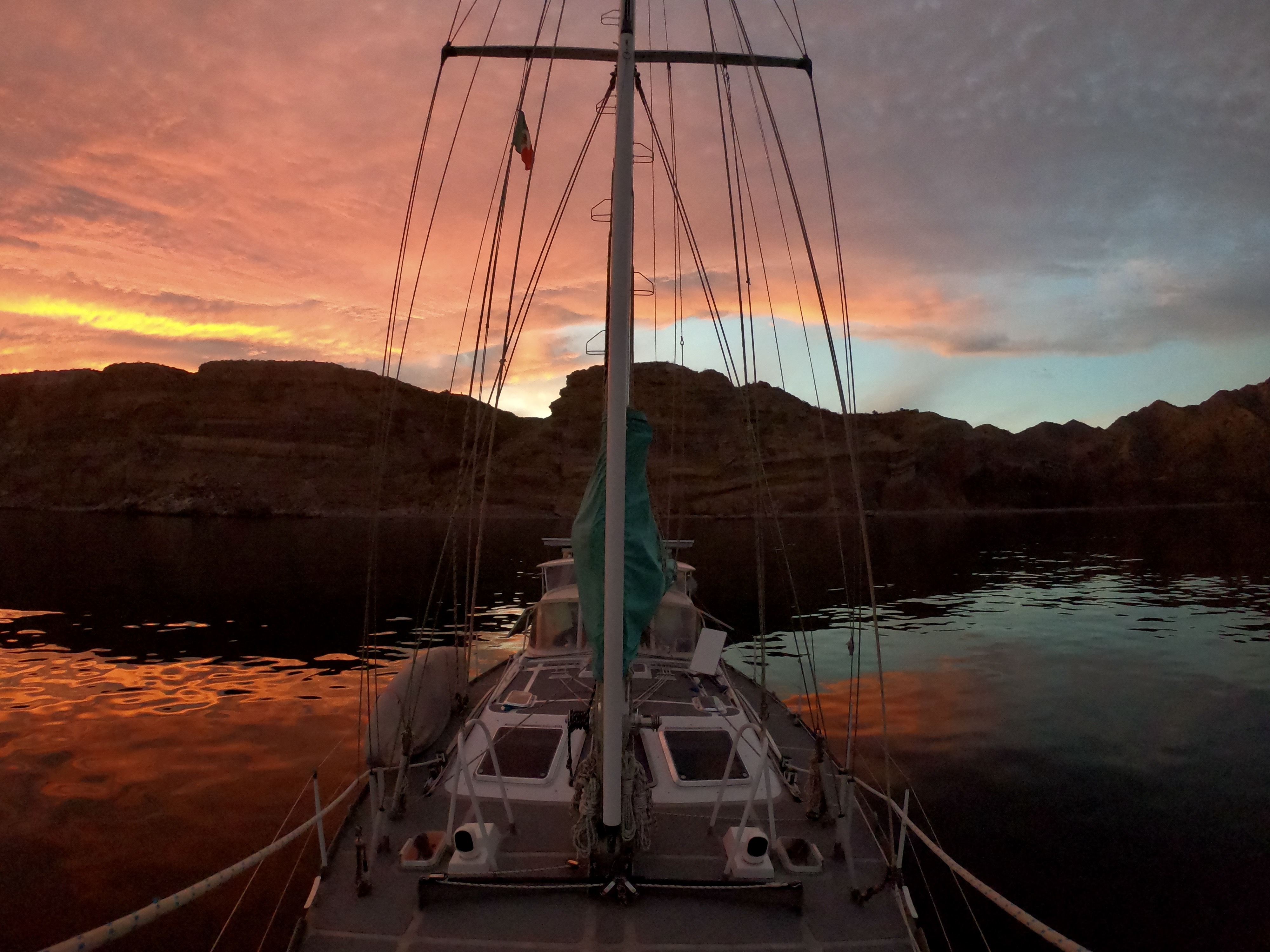
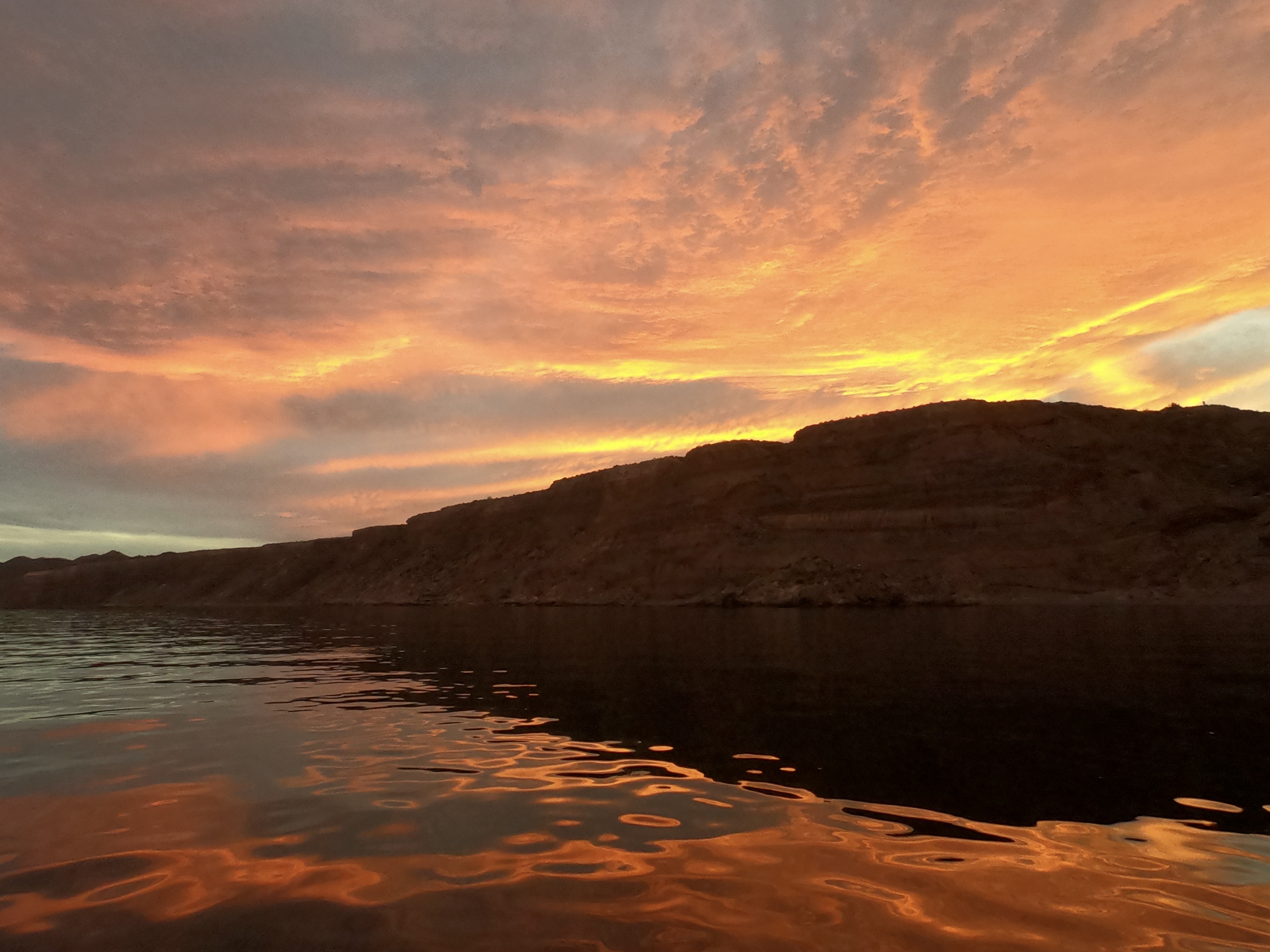
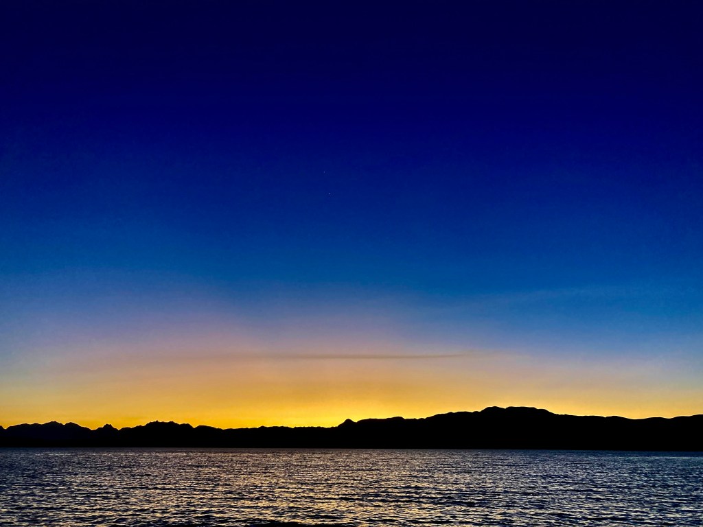
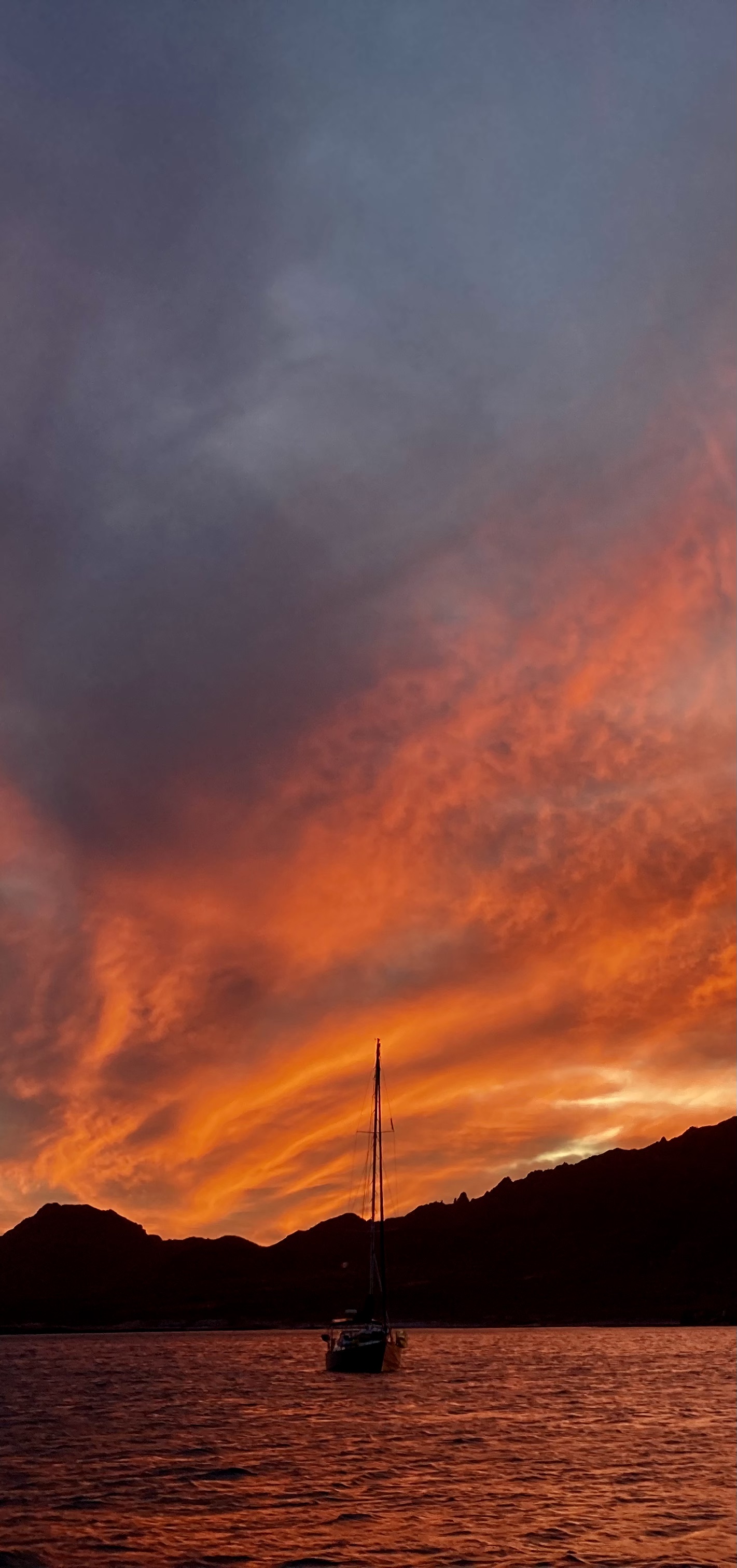
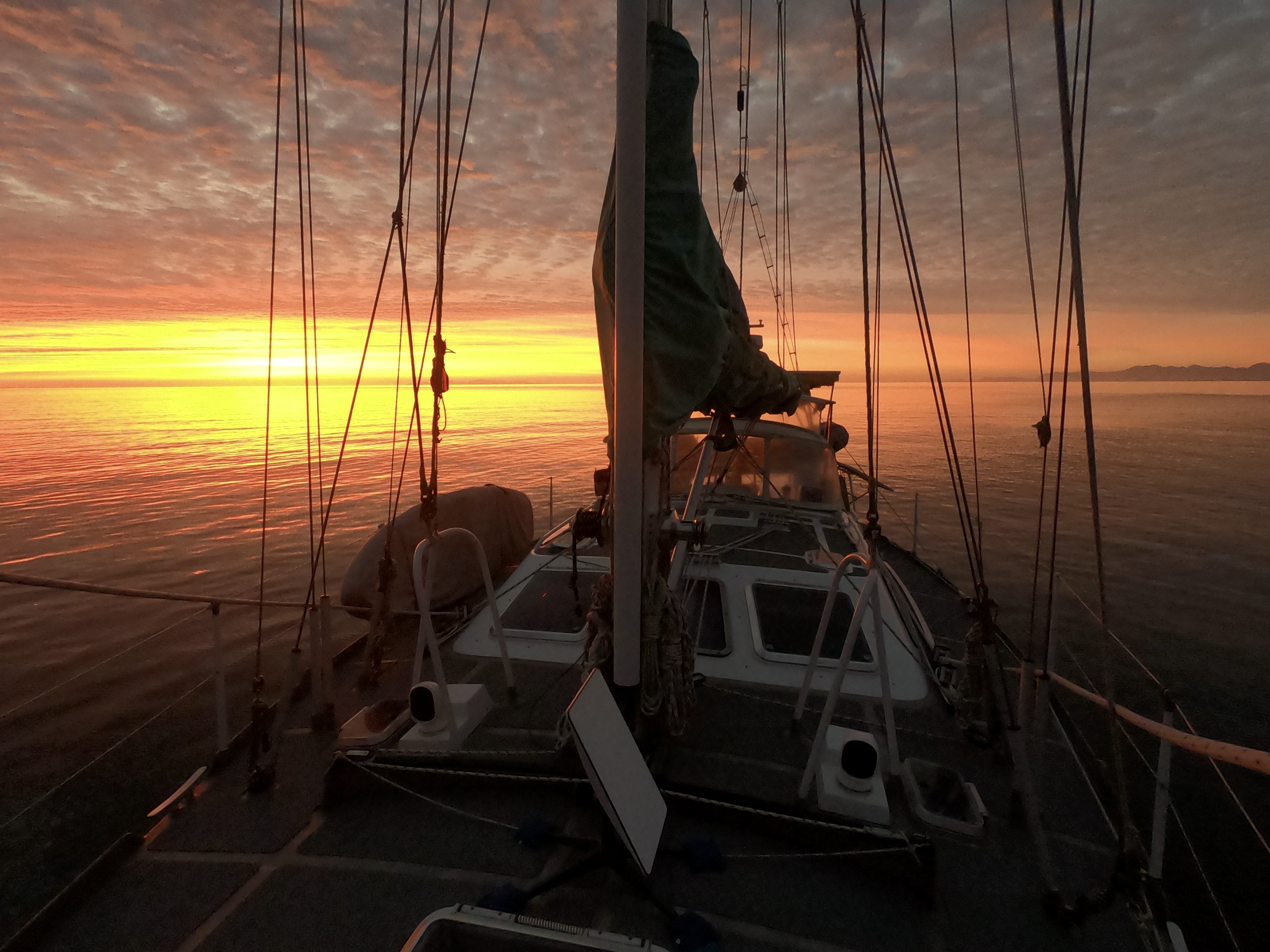
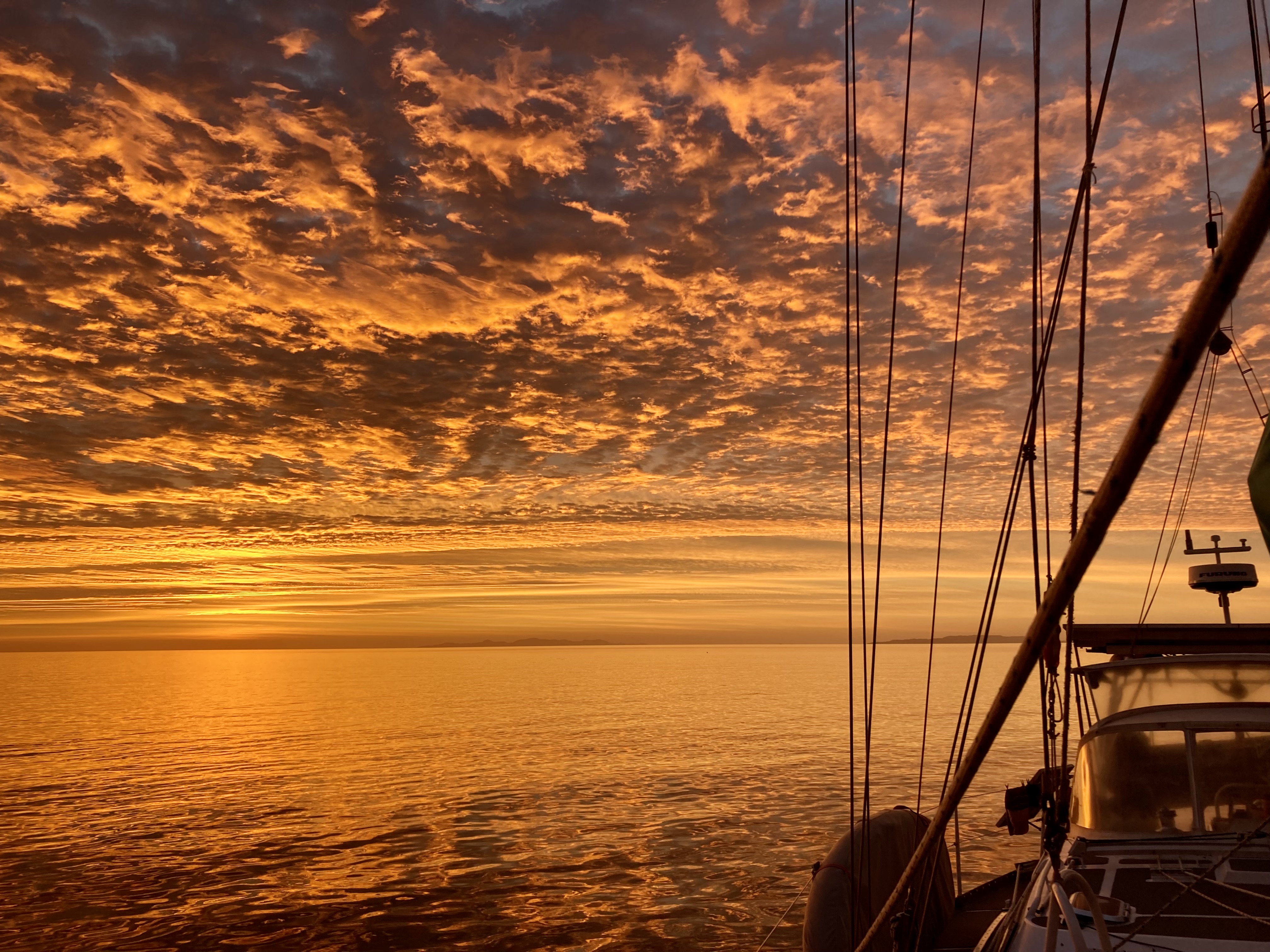
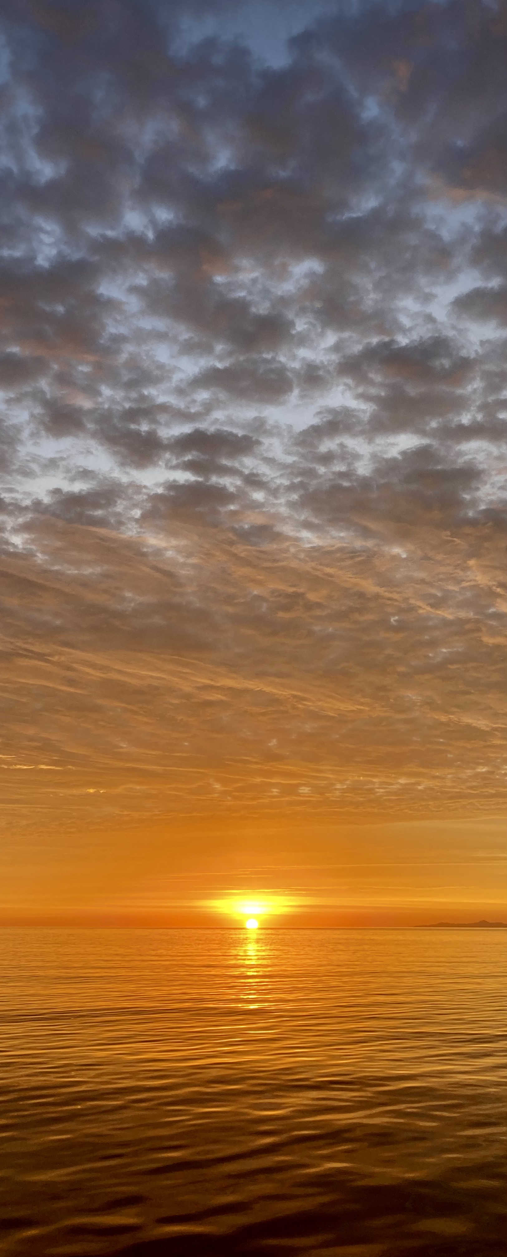
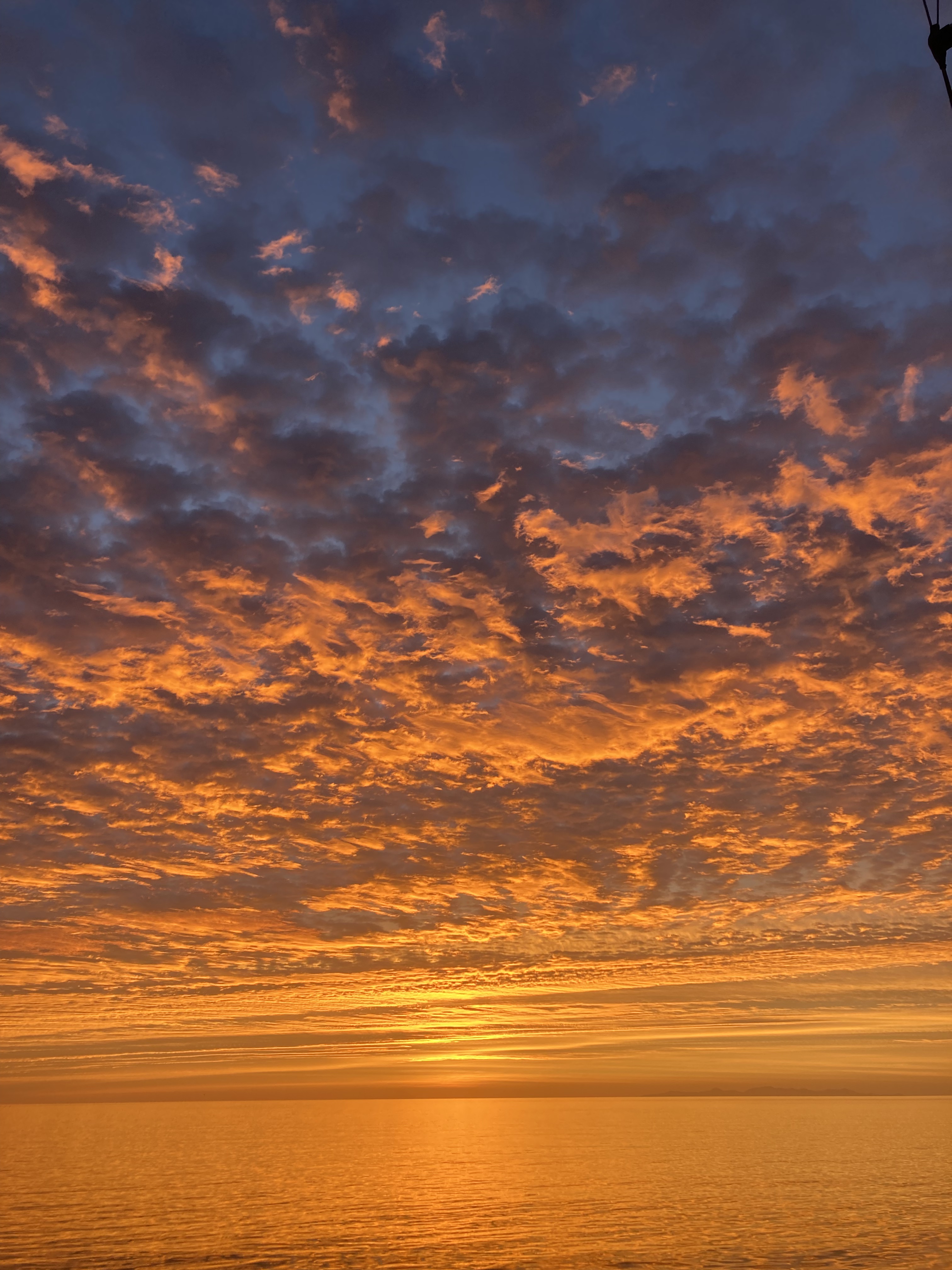
Again and again we find ourselves witnesses to breathtaking sunsets which simply cannot be adequately described nor captured by photos or video. Sometimes they manage to achieve even one degree beyond unimaginable.
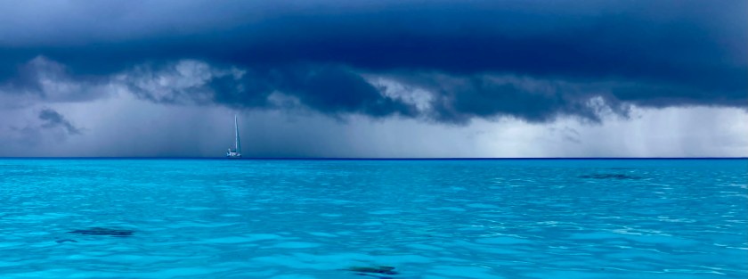
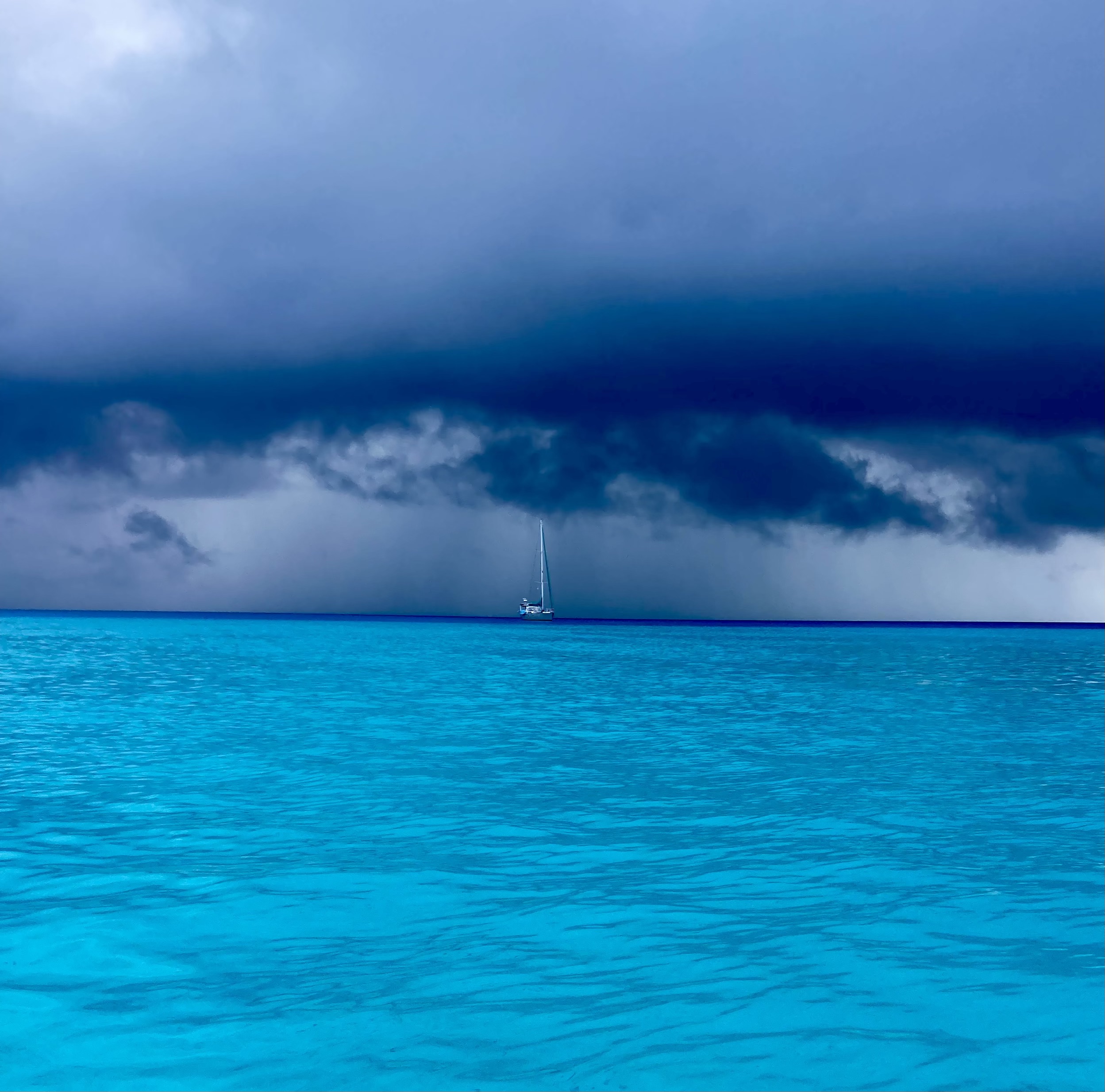
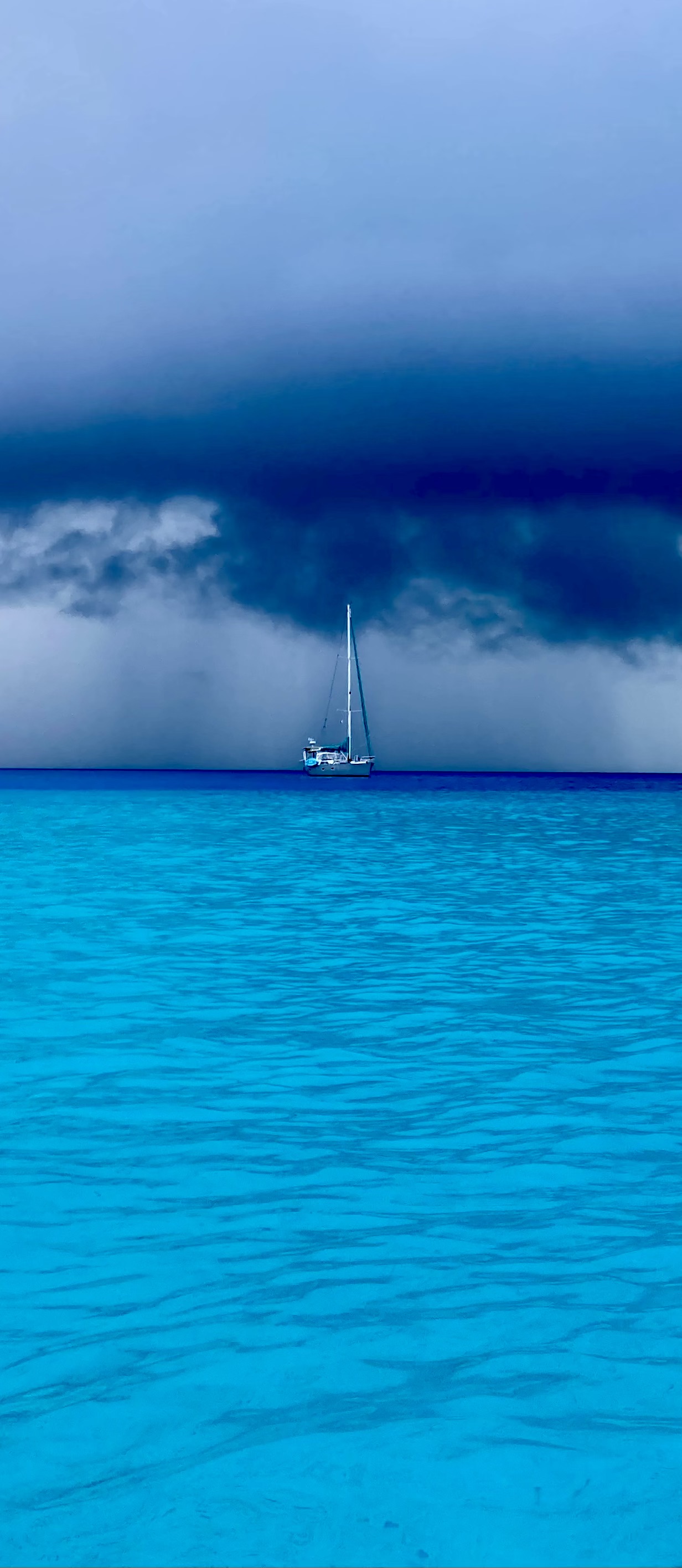
Other days manage to be stunning for very different reasons. The holy shit moment of balancing an attempt to capture an incoming squall with the common sense of getting the boat buttoned down and prepared for the oncoming onslaught, even if short-lived can be quite entertaining. A common occurrence during these moments involves an exasperated Kris calling out, “What the fuck? Will you put that stupid camera away and come help me out?”
Making friends on the beach at the end of our stay at Tahanea:
After only one week in Tahanea, Exit set out for Fakarava. Not because we weren’t enjoying ourselves. Rather, because we had to keep reminding ourselves to not get stalled to the point we would end up regretting having run out of time before we had even arrived at the Society Islands.
The overnight seventy-two nautical mile passage from Tahanea to Fakarava was uneventful.
Underway to Fakarava
Despite having left late in the afternoon, by the following morning at 4:20am, we found ourselves only two miles offshore from the channel entrance at Fakarava, and ended up having to tack back and forth a safe distance away awaiting the rising sun.
Dawn arrival at Fakarava
We were glad we had not tried to enter the atoll in the dark. The channel didn’t offer a lot of room and was not a straight shot. Once through, we had to navigate around a marker that signaled a reef which split the channel in two and then thoroughly search through the anchorage area to find a clear enough spot to drop anchor. There were coral bommies everywhere.
Fortunately, we had grown comfortable with the technique of floating our anchor chain, and managed to get settled in a spot that wasn’t right next to other boats.
We had learned that Fakarava had a dive site in the south pass called The Wall of Sharks. In fact, Exit had passed directly over it on our way into the atoll. And while unaccompanied dives were something we had no problem with, we realized that diving the actual passes in the atolls created a whole different set of challenges, difficulties, and risks. This pass was not wide, had much more boat traffic, no ideal place to leave the dinghy, and potential for serious currents outside of slack tides. We concluded this was one of those times to simply anti up and pay to dive with an established dive shop.
We didn’t regret that decision.
The French divemaster Miti, her friend Helen, and another visiting diver with a massive camera were all incredibly friendly and very capable divers. The dive boat would drop us off out towards the outer entrance of the channel, and we would drift with the current back to the dive shop, located at the inside edge of the channel. Easy enough; plus we got to extend our dive at the end as long as our air would hold out.
The underwater landscape was breathtaking – stunning coral structures alongside the entire length of the pass we were diving. Hard coral – branching, brain, plate – soft coral, sponges, anemone. The amount of marine life was ridiculous. Hundreds of species of reef fish – more than we had seen anywhere in years – groupers, snappers, parrot fish, puffers, trumpetfish, needlefish, surgeonfish, triggerfish, trevally, anemone fish, damsels, stingrays, so many colorful anthias and other small coral dwellers, massive Napoleon Wrasse…and, of course, sharks.
So many sharks.
Often times dive sites are named for things that used to be present at one time in the long ago past. Or for something that, if you are really lucky and do enough dives at the same spot, you just might see. Or for nothing more than wishful thinking or marketing.
The Wall of Sharks was not one of these – no ifs, ands, or buts; it truly lived up to its name. Sharks and sharks and more sharks. True, we had seen bigger aggregations of sharks in a few places. Schools of hundreds, if not thousands, of hammerhead sharks – but only in the most remote corners of the Galápagos Islands. Congregating sharks in Palau and on the Great Barrier Reef of Australia- but only because they had been artificially attracted by food.
Here in Fakarava, it was different. These sharks were just hanging out in the pass. Naturally attracted to the area by consistent food and currents. And a lack of fishing boats. The visibility was amazing. The water was a comfortable 81℉ seventy feet underwater, more like 84℉ at the surface.
We could have dived the same area dozens of times without getting bored…or cold. A far cry from Mexico, where it seemed unbearable even just cleaning the bottom of the boat wearing two layers of wetsuits.
Unfortunately, our Go-Pro fiasco in Raroia, meant we had no way to document the experience. Still, sometimes diving without a camera allows you to really enjoy the experience even more – none of the distractions associated with bringing and using a camera underwater…relying on old school memory rather than digital storage. Great for the dive itself; not so much for the blog.
After the fact…
We enjoyed our first day’s diving with the dive shop so much, we did a few more after that. This included a fantastic dawn dive. The real challenge there was getting our dinghy to the dive shop in the pre-dawn darkness and currents. Once in the water, it was incredible – a night dive that transformed as the sun slowly rose during the course of the dive. The guy with the huge camera had a gigantic light attached which provided much better view of the area than our small torches. Dozens and dozens and dozens of grey reef and white tip sharks, still completely in their night hunting mode, patrolled around us continuously, circling in and out of the perimeter of our underwater lights. As light from the rising sun above us slowly penetrated the depths, we could make out more and more details of the surrounding area. Eventually, by the second half of the dive, the light illuminated the whole pass and the vast population of marine life transitioned back to its regular daytime activities. An unbelievable experience.
The divemaster’s familiarity with us after a couple of dives allowed Miti to grant us a lot of extra freedom to dive our own profiles. On one dive, there were a number of rather inexperienced divers in the group and she sent us on our way to essentially dive the whole time on our own. Phenomenal time!
Considering how little land makes up the actual land mass of an atoll, its actual size can be quite misleading, as was certainly the case with Fakarava.
After diving, we decided to move from the southern pass area (known locally as Tumakohua) up to the northern side as the forecast indicated we could start seeing winds from the north. It took us most of the day to traverse the thirty five nautical miles from the south end to the north end, even motoring.
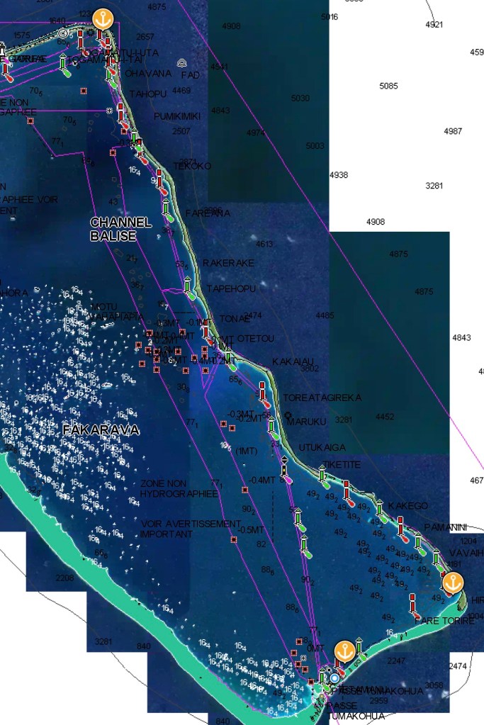
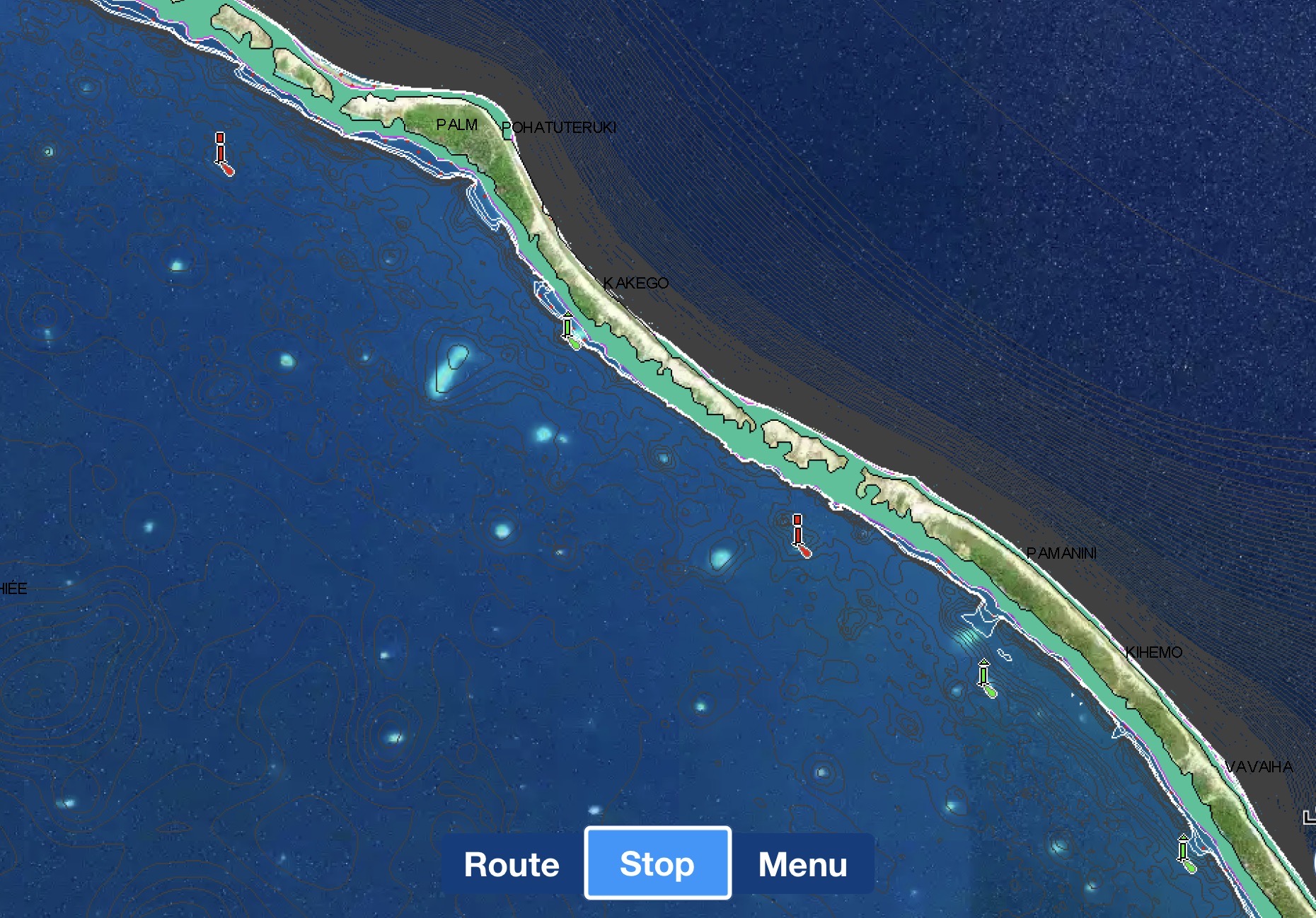
Our electronic Navionics charts provided a very specific and accurate channel complete with green and red markers to follow the entire distance. Furthermore, we are able to superimpose Google maps satellite photos over the top.
Navigational channel up the east side of Fakarava
Still, despite the fact that some of the markers actually did exist and Google maps did do an excellent job of revealing the mine field of shoals, reefs, and rocks we needed to avoid (some visible jutting out of the water, but many submerged just under the surface), it was nonetheless mentally exhausting and stressful having to thread our way inside a mere six hundred foot wide track for the entire thirty five mile journey.
Furthermore, it was truly mind numbing to consider having to do that without the technology we had at our disposal.
It reminded us of navigating the ICW (Intracoastal Waterway) along the east coast of the U.S. years before. Though far longer, 3000 miles as opposed to 30 miles, at least a large number of the ICW hazards are nothing more than shoals and shallows. Much better to get stuck in the mud than sink after striking a seventy foot tall rock.
Fortunately, we made it to the north end without incident or drama.
Underway to Rotoava Village
Unfortunately, we didn’t have the opportunity to try diving the North Pass (which was reported to be not as stunning as the dives we had in the South Pass), but we did have a chance to visit the village of Rotoava while we were up in the northeast corner of the atoll.
After only a couple of days, including a ridiculously lumpy night with un-forecasted winds from the south, when the forecasts actually threatened south winds, we opted to head back south for better shelter and more diving.
Of course, gremlins and voodoo of the mechanical and electrical variety seem to come part and parcel with sailboat ownership. Even more so, the pendulum seems to swing even harder after exceptionally cool experiences like our dives in the pass.
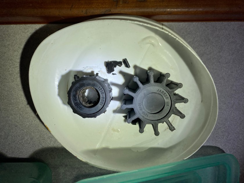
Consequently, we shouldn’t have been surprised when, during the next big blow that passed through, we found ourselves having to sort out an impeller from our Perkins raw water system that appeared to have literally exploded while using the engine to charge our batteries at anchor during the relentless high winds, swell, and rain.
Mechanical headaches, stress, and unanswered troubleshooting questions that lead to periods of an out of commission engine in bad weather conditions while we are on a lee shore do not make for enjoyable situations…but such is life on a boat.
On the other hand, physics and the laws of Neptune dictate that the successful resolution of those obnoxious moments in time allow the pendulum to swing back in the other direction.
A more relaxing evening back at Tumakohua:
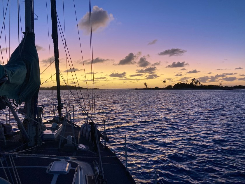
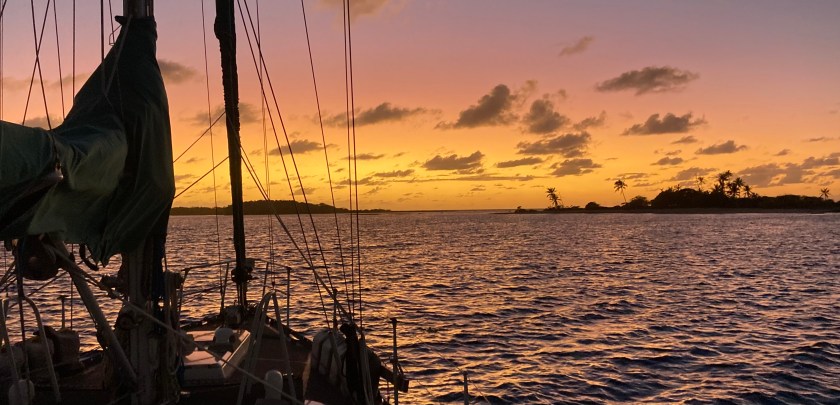
And a July sunset at Hirifa nearby in the southwest corner of Fakarava:
Of course, it all depended on what day you were talking about. Three days later the same spot at Hirifa presented quite a different scene.
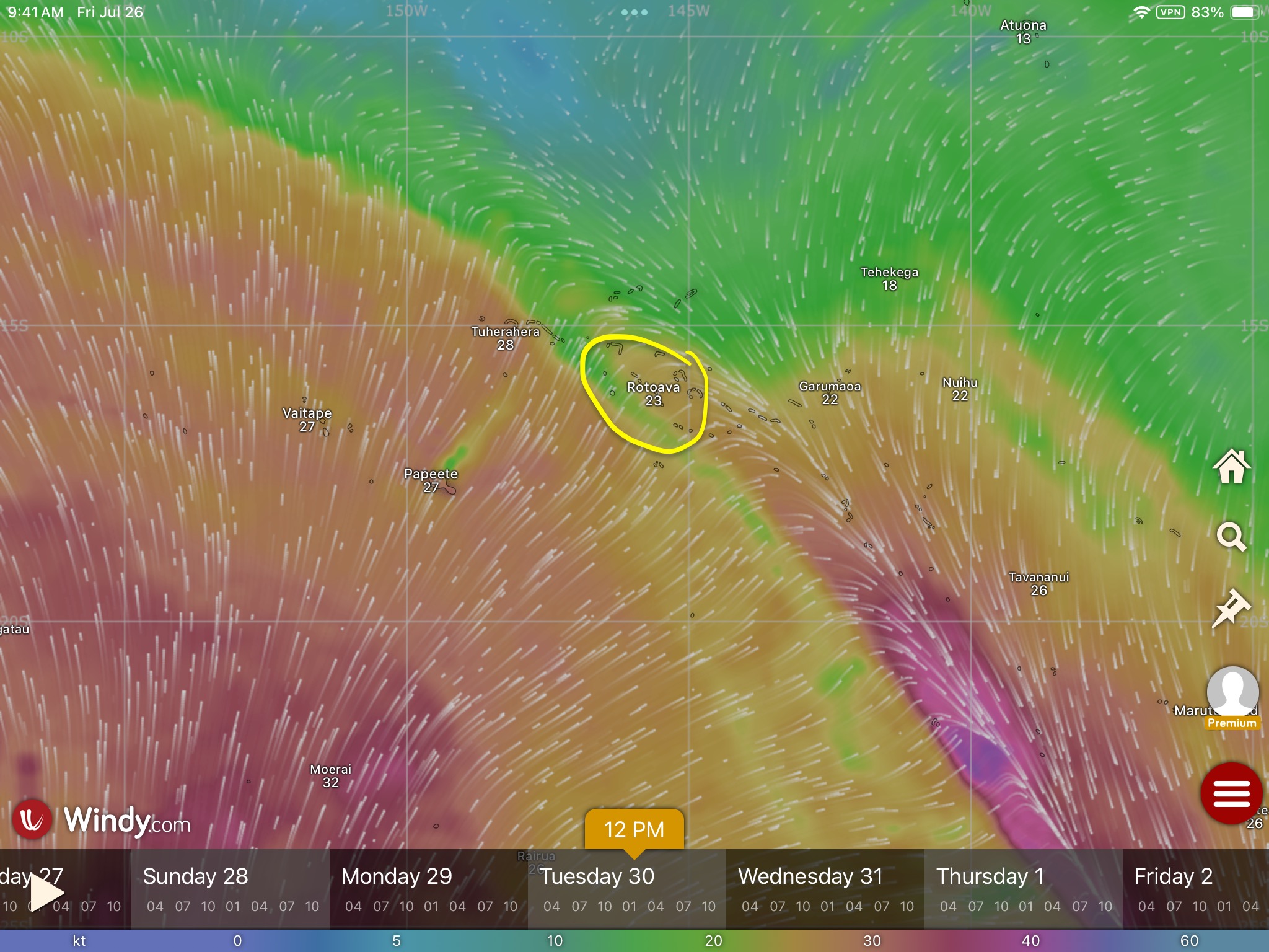
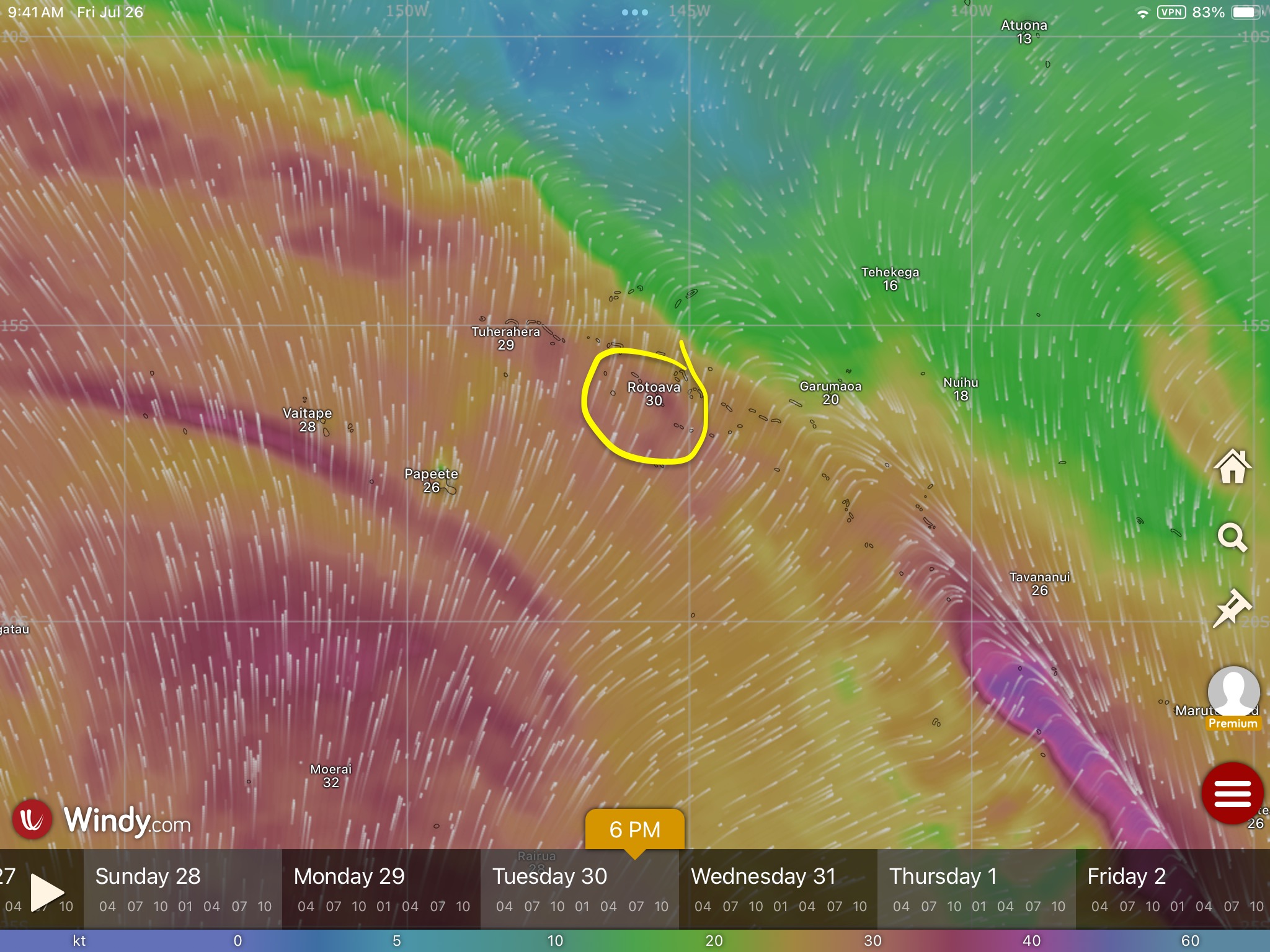
The forecasts had been looking ominous for a number of days. It appeared as though Fakarava was about to be caught right in the middle of the meeting point of two opposing fronts – one coming from the northeast and another quite nasty one from the southwest. It wasn’t that one would prevail – the forecasts predicted they would merge into an ugly mess and the whole thing would press on to the southeast.
The real concern was the squeeze that the convergence was going to cause at our location. We knew we could expect a shit-ton of rain and violent squalls that could kick up winds anywhere in the upper twenties or thirties…maybe higher if we were really unlucky. The big question we couldn’t know until it happened was exactly where the wind would be coming from, when and how it would shift, and how severe would it be on either end. The forecasts gave us an indication, but weather events like these can be quite volatile and unpredictable…the exact shift was anyone’s guess.
At some point, a windward shore was likely to become a leeward shore either way. The best we could do was go with our gut feeling, pick the anchorage with the best holding, be prepared and stay aware.
When it came, it was not pleasant; but not as bad as stories we had heard from other sailors who had experienced similar situations.
Sometimes, when the wind shifts one hundred eighty degrees now putting you on a lee shore, picks up to more than twenty knots, and begins to throw a thoroughly uncomfortable one to three foot fetch that has built up over the entire thirty mile length of the atoll’s lagoon at you, the only thing left to do is pick up anchor, head to the opposite side of the atoll, and await the return of that lazy sunset you were enjoying not that long ago…
…especially when that move puts you back on the doorstep of a village with a restaurant that has scrumptious food, great local Polynesian music, and savory French desserts!
Local music
It’s so easy to lose track of time from day to day. And then, before you know it, you realize, “Holy crap, we’ve been here in French Polynesia for two months. We are already down to only thirty days left before we have to be out of the country.”
And just like that, the reality sets in. We’ve only been in Fakarava for less than three weeks but, once again, it’s time to move on. We have two hundred fifty miles to sail in order to reach the Society Islands – not that far, but also, no trivial coastal sail.
So far our trajectory had taken us from the Marquesas Islands to the Tuamotus Archipelago…nearly a thousand nautical miles through French Polynesia. The last group of islands we intended on visiting here were the Society Islands, which included the country’s most globally well-known locations of Tahiti, Moorea, and Bora-Bora. Destinations that evoke not only classic Polynesian images, but represent the actual definition of tropical South Pacific paradise in the mind’s eye of many travelers all over the planet.
We knew Rangaroa, in the Tuamotus, had a reputation as one of the best drift dives in the world for seeing sharks in the pass. After Fakarava, we didn’t doubt that a bit. It was near the top of our list for places we wanted to get to in French Polynesia; however, we were simply running out of time on our visa.
In hindsight, we could have shaved a bit of time off some of our previous stops and just barely slipped it in – but it already seemed like we were rushing. We already were coming to grips with the likelihood that we may not be able to fit Bora-Bora into the limited time we had remaining. We were also facing the realization that if weather didn’t cooperate, we could easily get stuck in Rangaroa awaiting a reasonable weather window for the passage to the Society Islands or, worse yet, be tempted to make poor decisions as we felt the pressure of time squeezing harder and harder.
The weather we had been experiencing in the Pacific was volatile and inconsistent enough that we felt it was inevitable, if we banked on trying to fit in too much, we would come to regret it.
Moorea had been magical for us twenty years earlier, both for diving and in general, and we were in agreement that it was absolutely our top priority. We hoped it would deliver again, dispelling any potential regrets or second guessing we might be saddled with later.
Some boats were headed for Rangaroa; others were headed for the civilization and provisioning oasis of Tahiti.
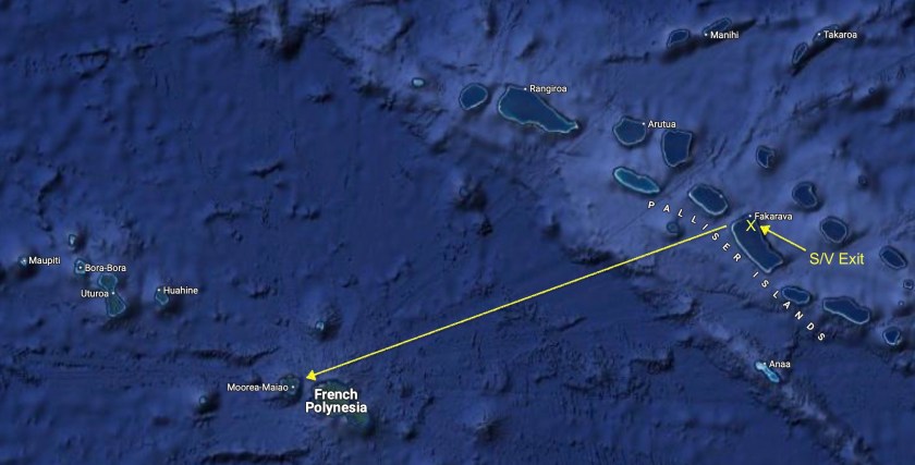
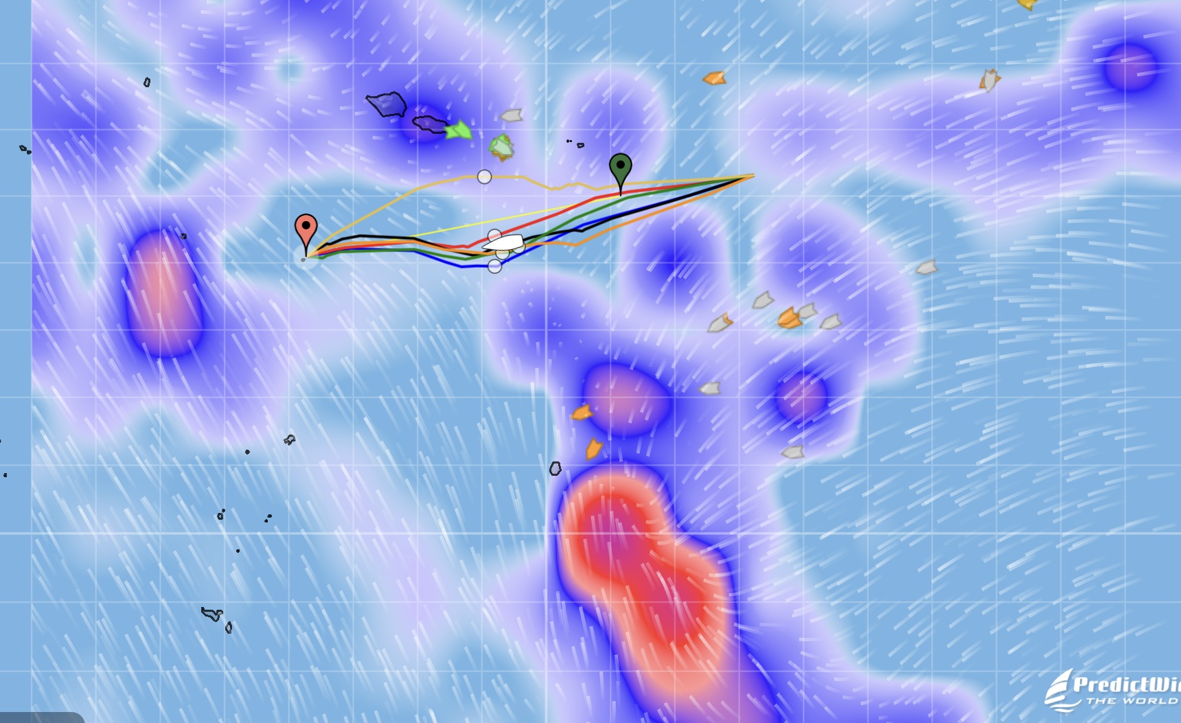
For Exit, we had decided the heart-shaped island of Moorea was the destination we were making for. About two hundred sixty nautical miles away…the Predict Wind weather router on our iPad estimated two days, two hours.
Even with sloppy conditions, and a temporary holiday declared by not one but both our autopilots Jeeves and Schumacher (Schumacher obviously felt quite guilty and returned rather quickly…Jeeves gave us the finger for the entire passage) we made good time.
After thirty four hours underway we had been sailing almost the entire time, having shut off the engine just one hour after lifting anchor in Fakarava. As the sun set off our starboard bow, we could barely make out the islands of Tahiti and Moorea, staring to come into view on the horizon. We enjoyed a rare toast while on passage to celebrate the twenty-one thousand nautical miles we had just surpassed since leaving Mexico exactly one hundred days ago.
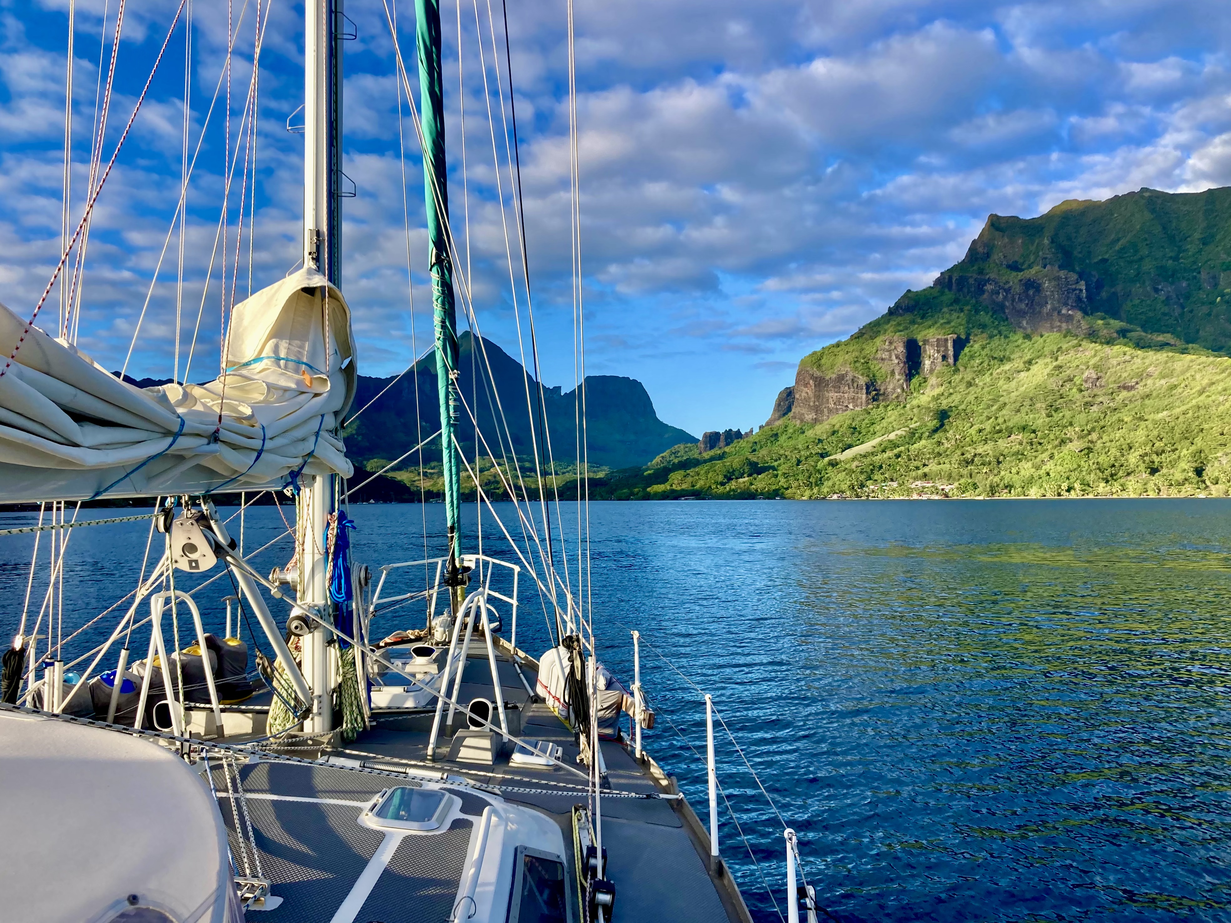
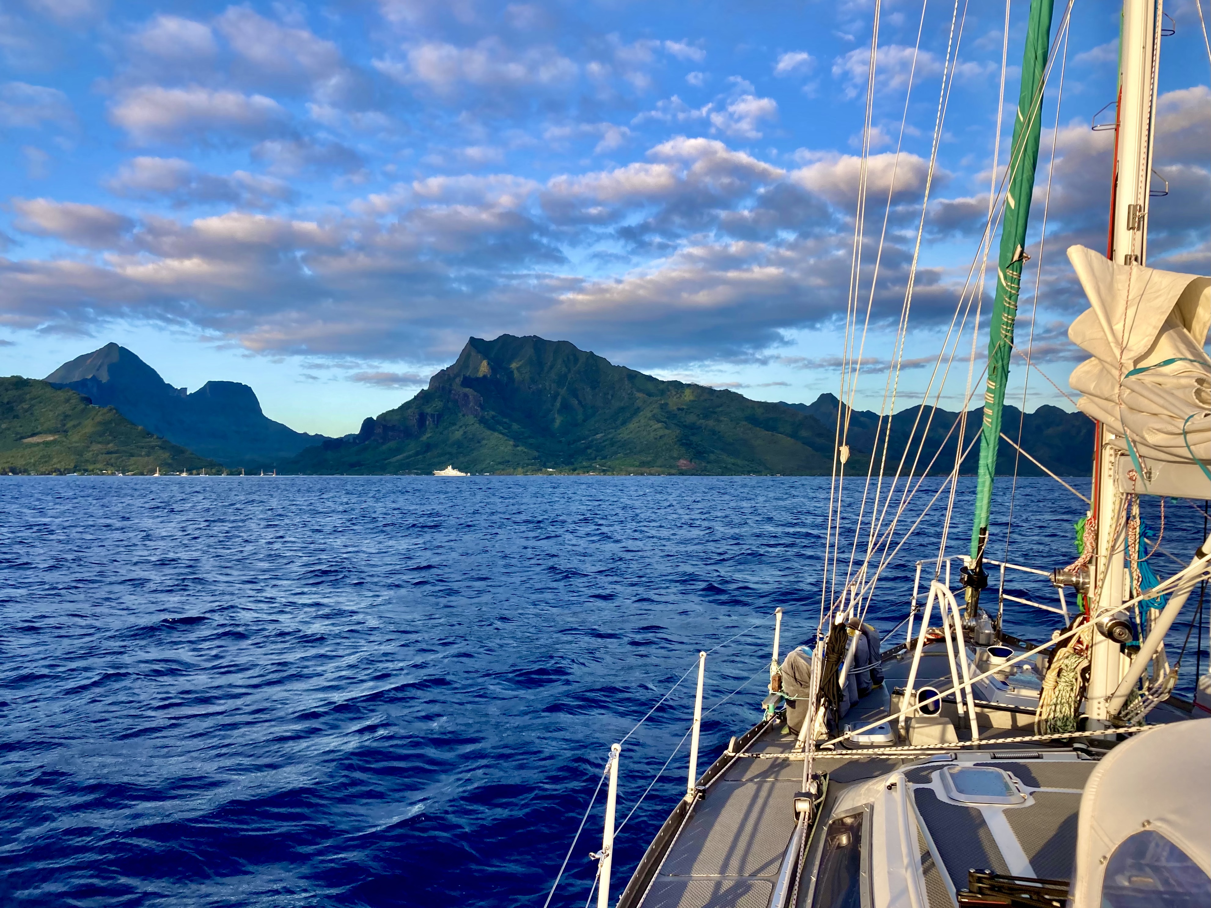
We set anchor in Cooks Bay, Moorea after forty-seven hours thirty minutes…a full two and a half hours ahead of our Predict Wind estimate. In 2003, we had first visited Moorea, by plane. It had been magical. Now, twenty-one years later, we had returned the traditional Polynesian way…by sailboat.
In the Marquesas Islands of French Polynesia, the anchorages in Raroia had been good holding and we had been able to find pretty clear sandy patches. However, during our research before departing Mexico, we had learned that many boats in French Polynesia (especially in the Tuamotus Archipelago) chose to use a technique called “floating their chain” to help avoid issues with anchor chains getting wrapped around coral bommies. An anchor chain hung up or wrapped around coral can result, not only in the destruction of delicate coral but also in, at best, inconvenient hassles to free the chain and, at worst, dangerous situations for the unfortunate boat and crew.
Upon first hearing the term floating the anchor chain, our response had been, “Huh?”
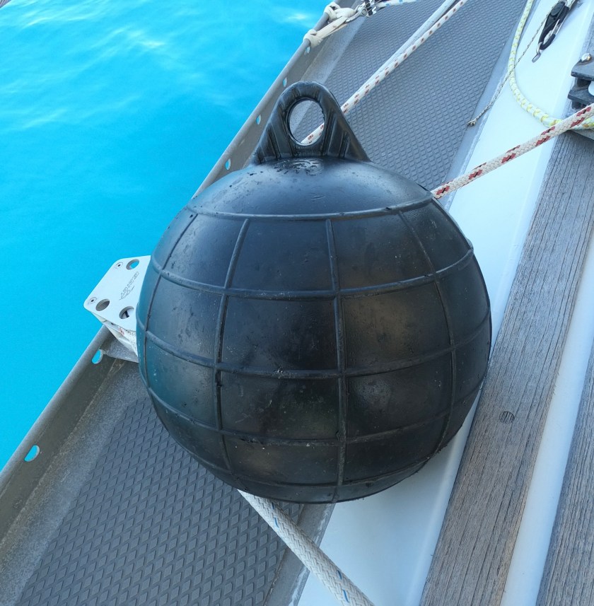
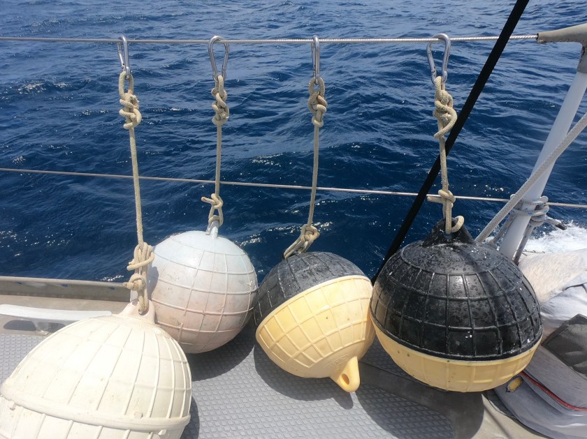
We had further researched the concept and technique and, in Raroia, had actually purchased three hard plastic floats for ten dollars each from a local guy who was the caretaker at an abandoned pearl farm we visited in our dinghy near the Kon Tiki anchorage.
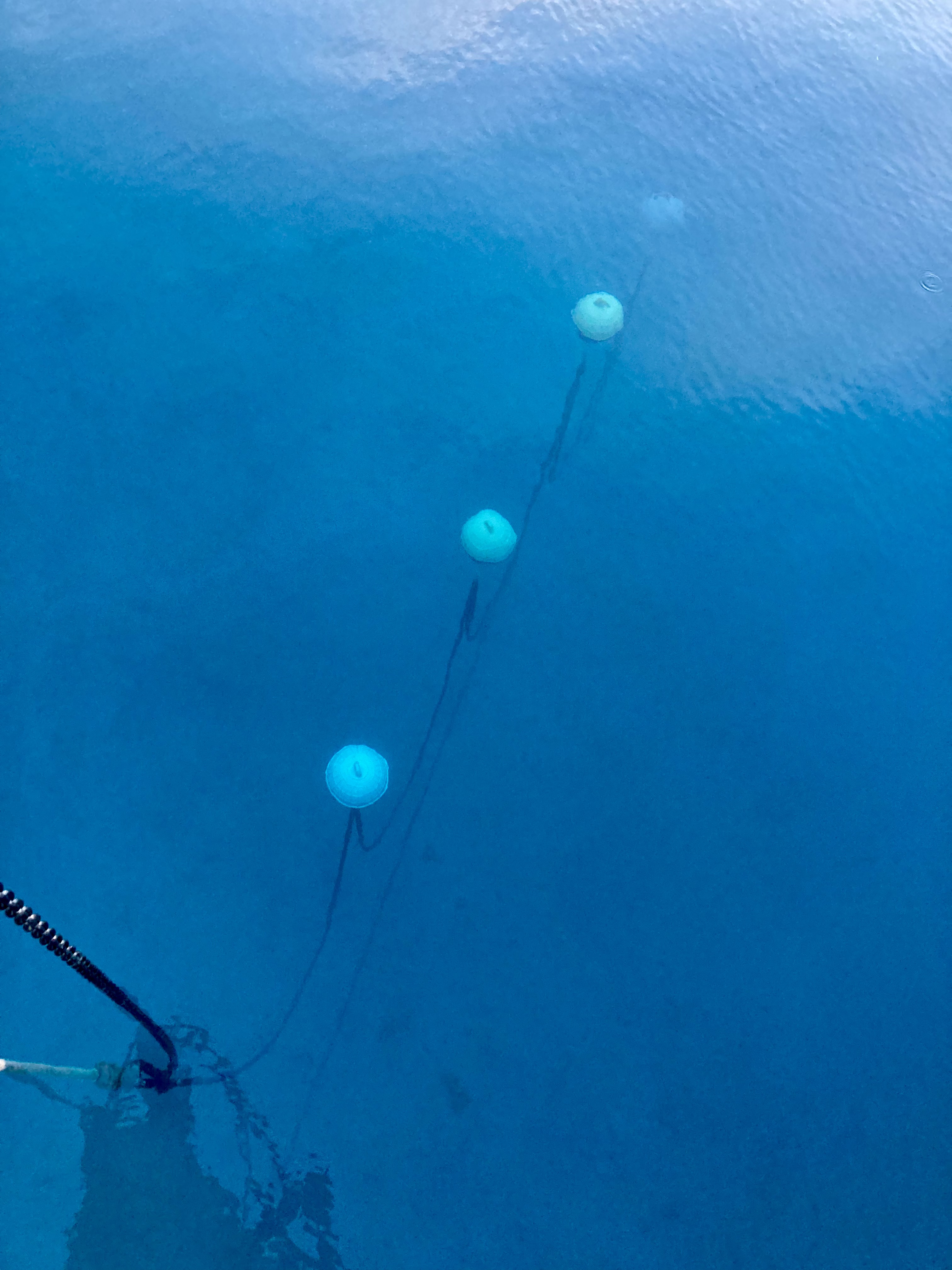
The plastic floats are abundant in French Polynesia – not only being used in the pearl farm industry, but also by fisherman for nets, as markers for navigation or moorings, and even as yard decorations in the villages and towns. We had heard that the savvy or frugal sailor could simply wander the leeward beaches after a good blow and stumble across them regularly. We did obtain two additional floats this way, but ultimately found the caretaker at the abandoned pearl farm to be a much more simple and reliable source.
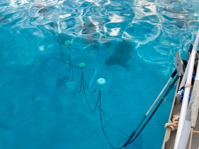
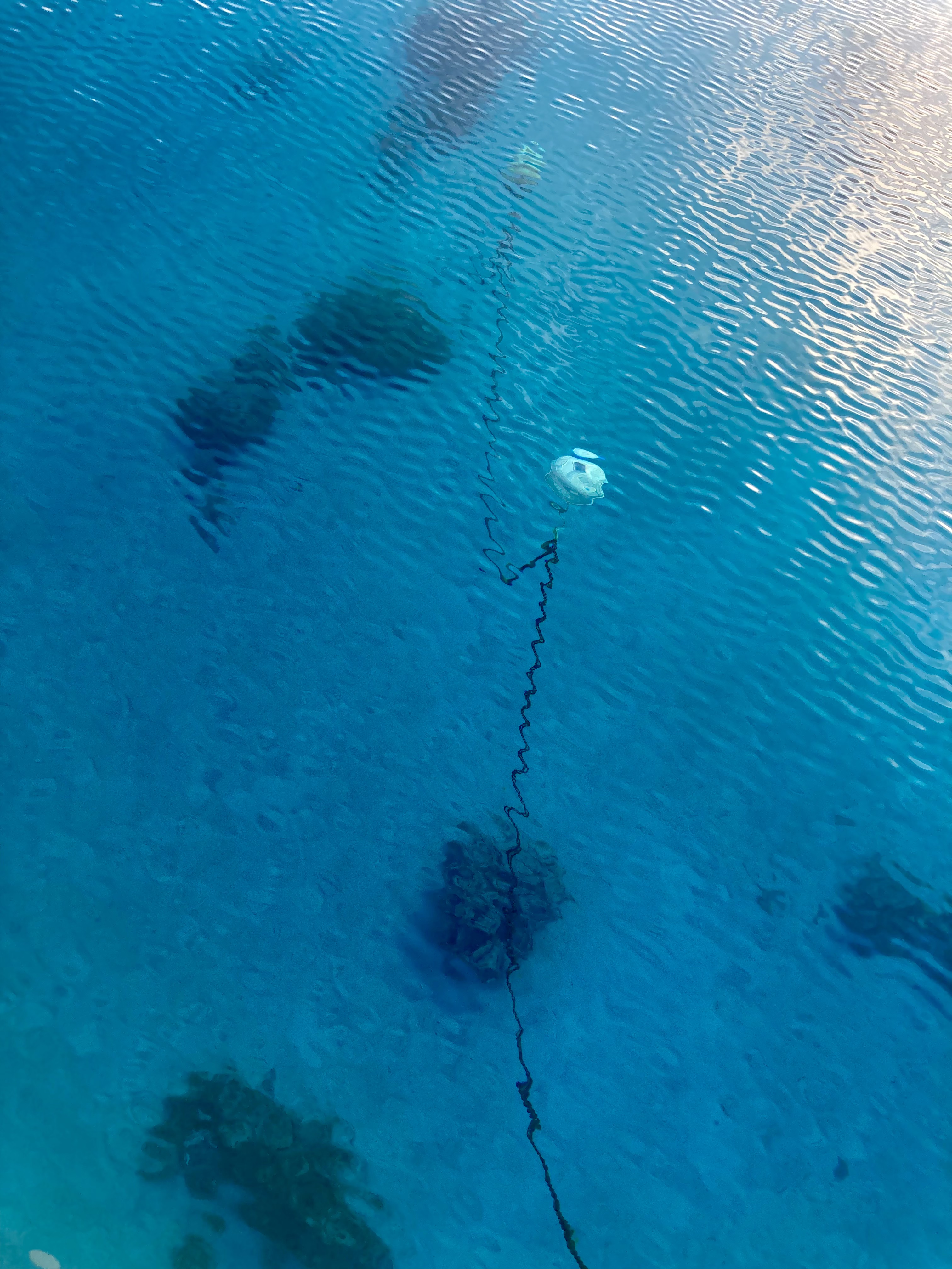
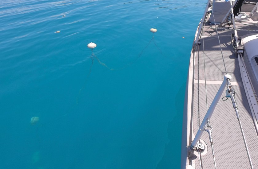
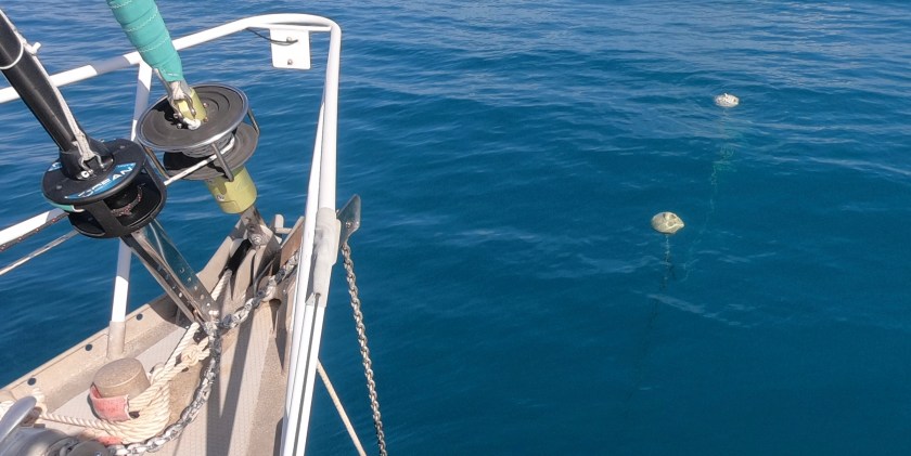
Plastic floats from a dec0missioned pearl farm or beach combing
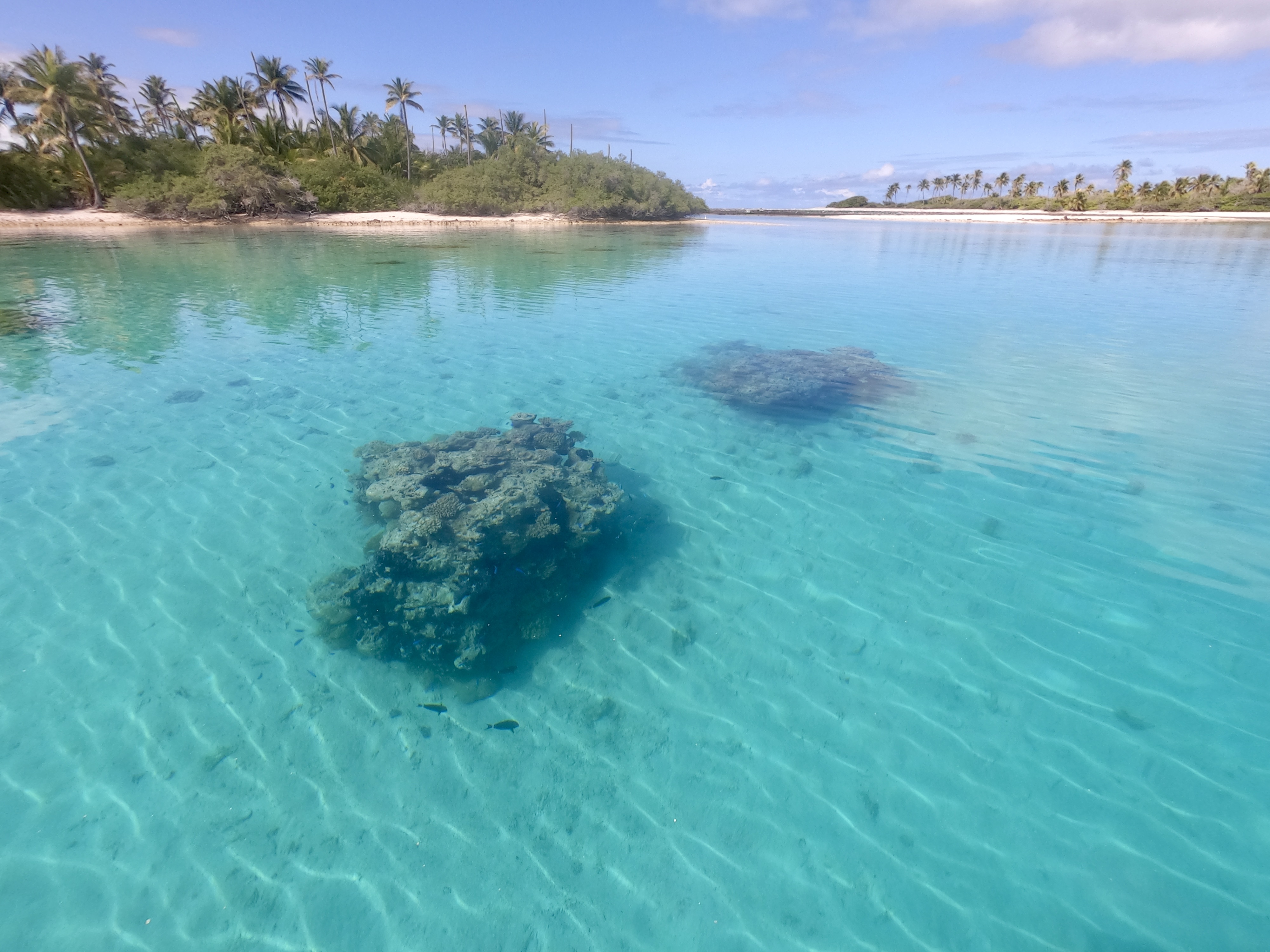
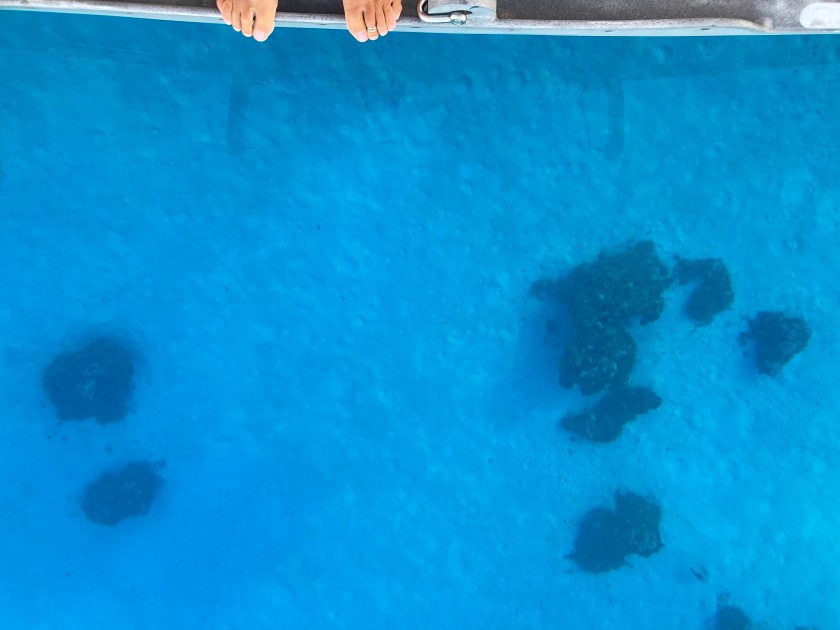
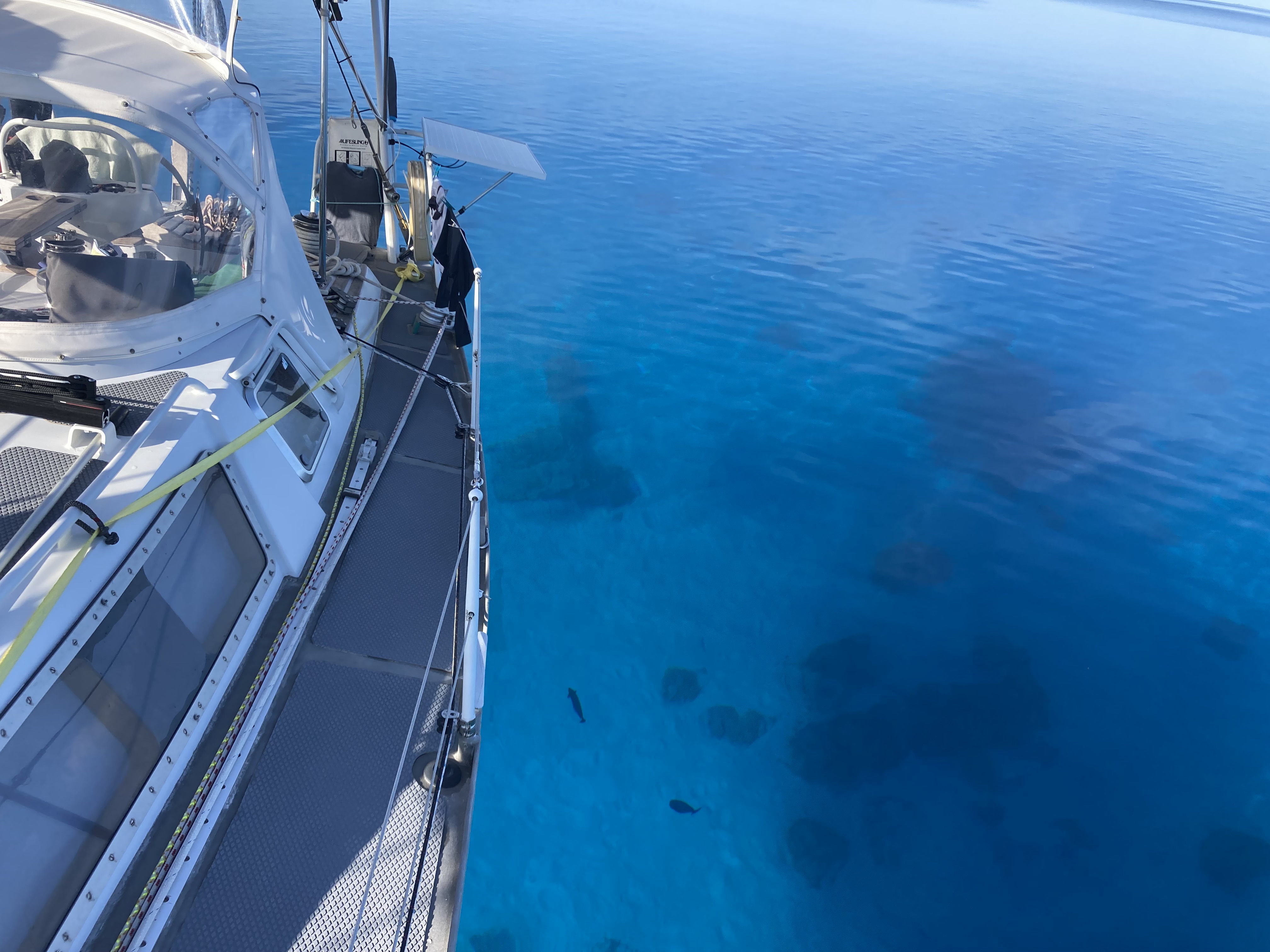
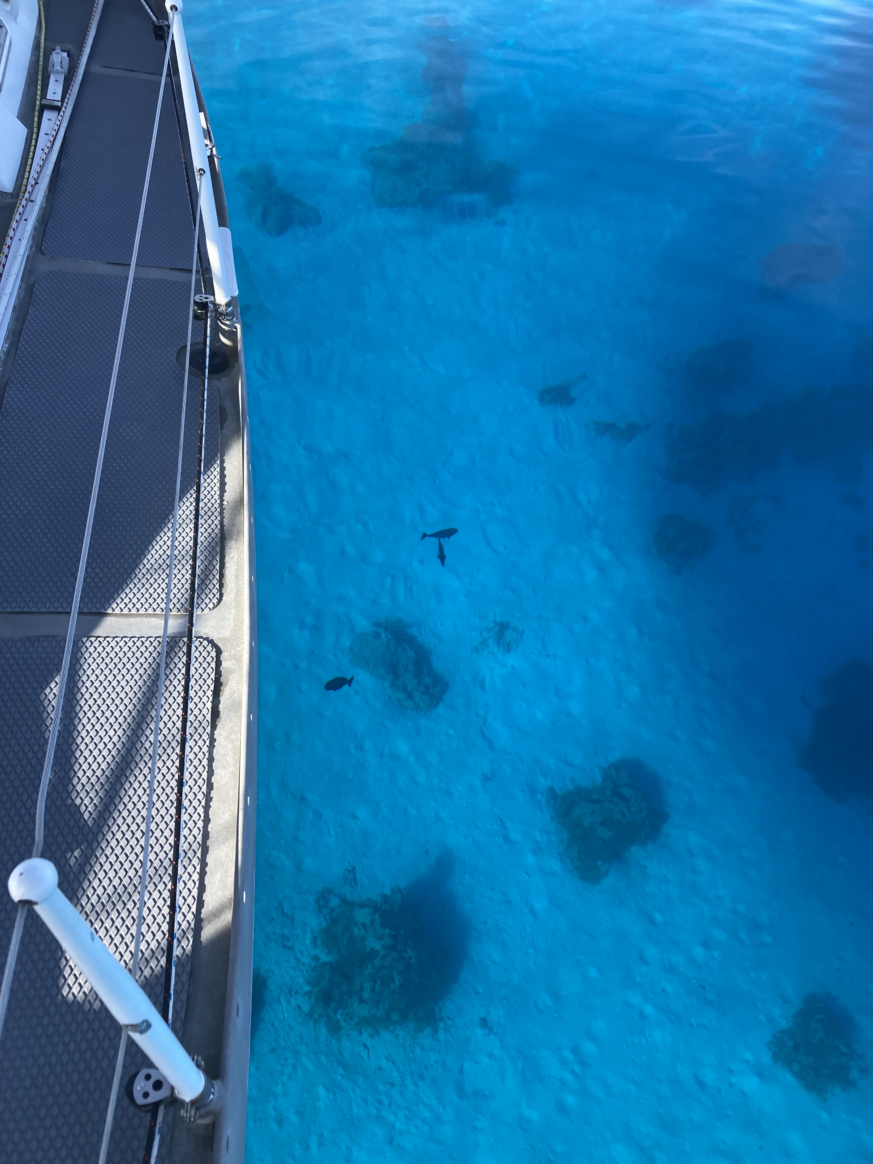
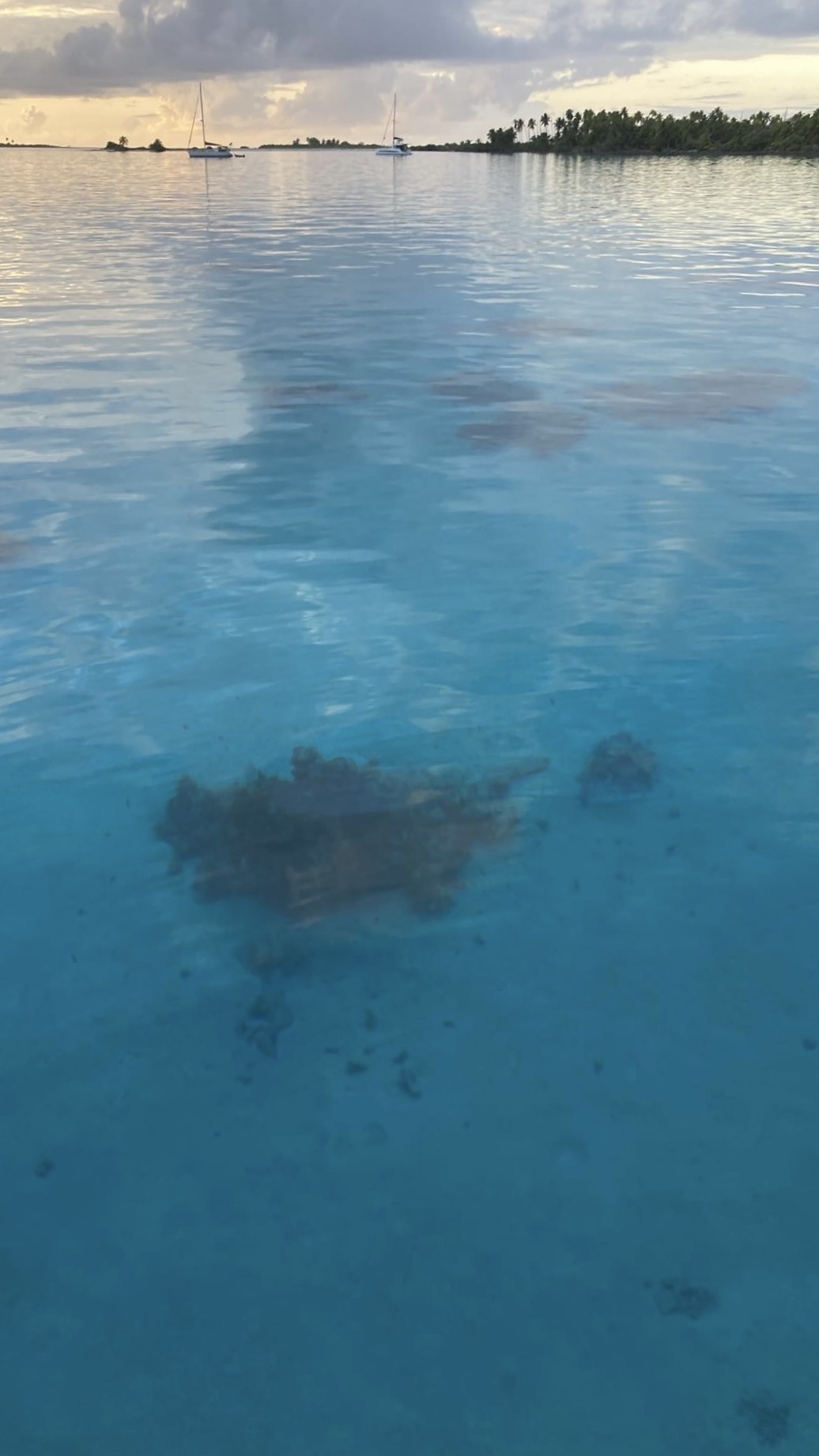
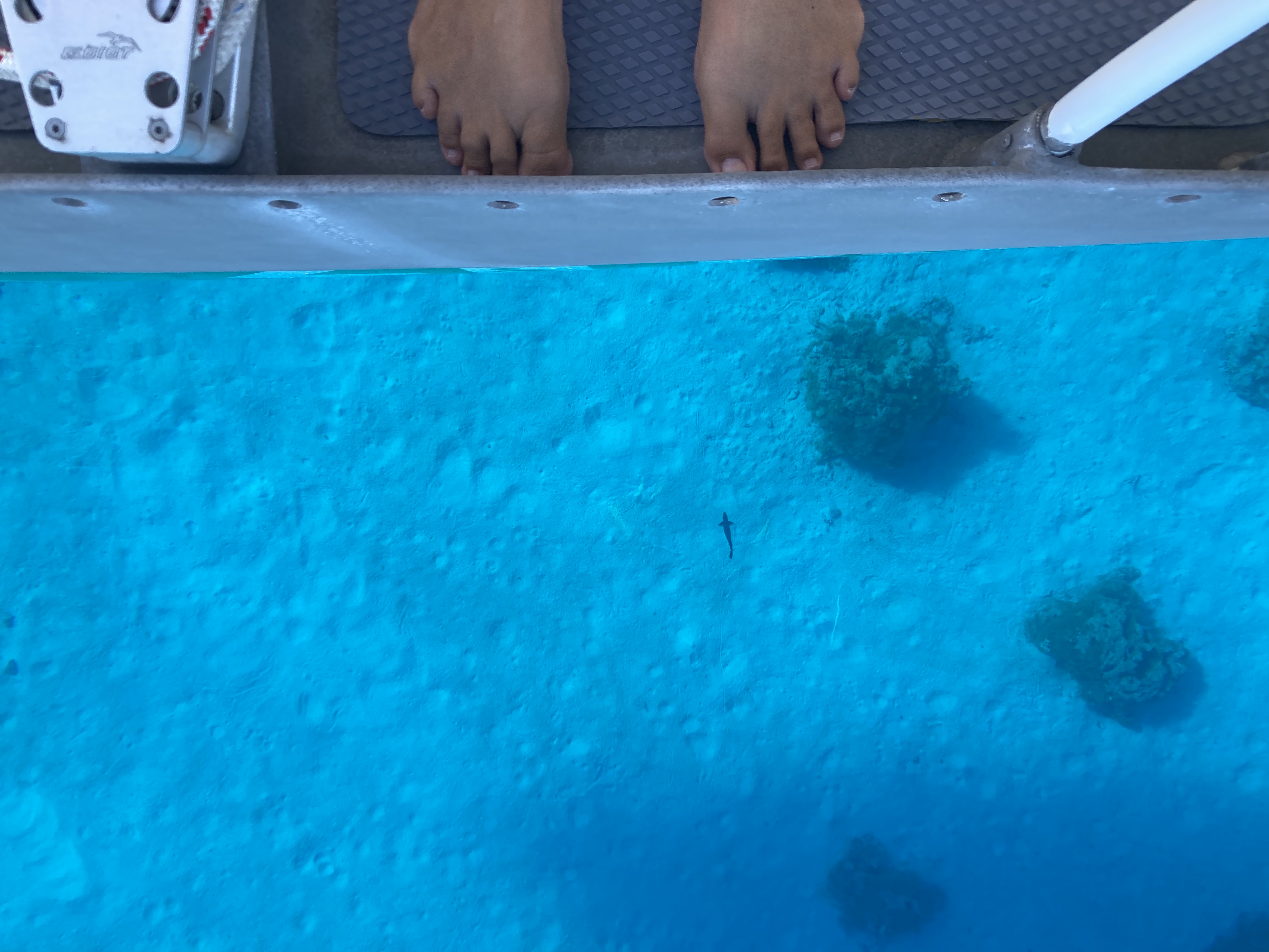
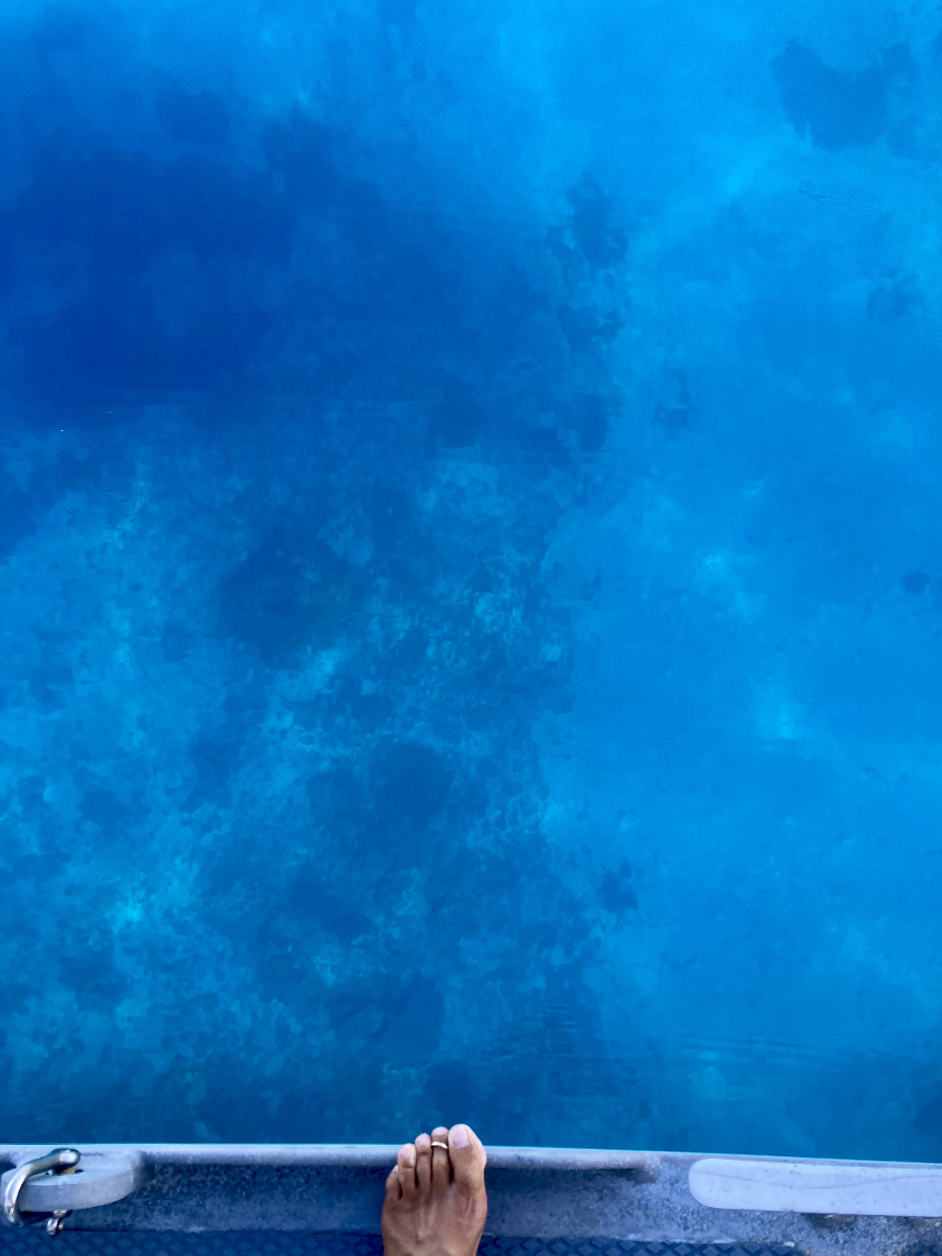
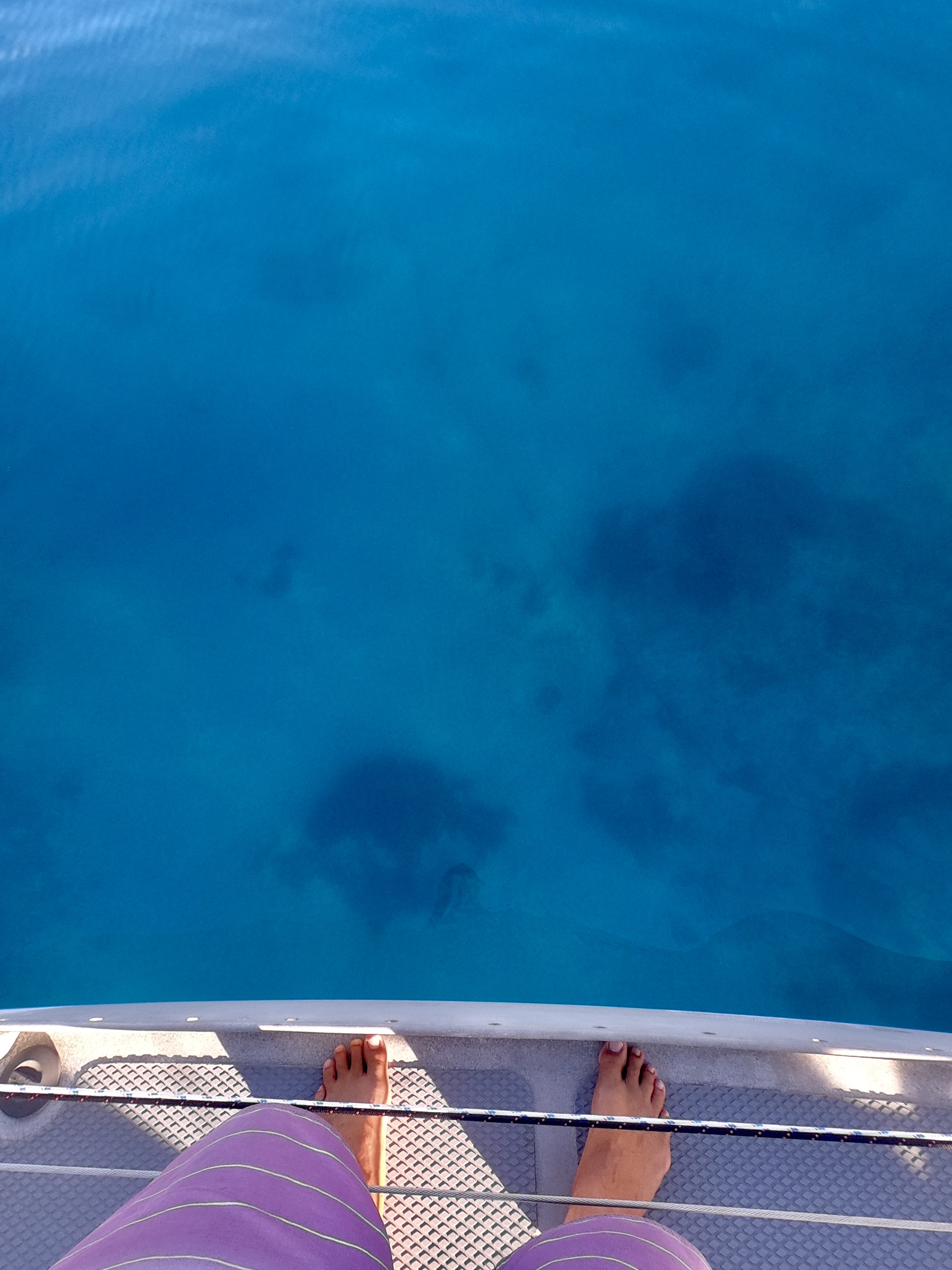
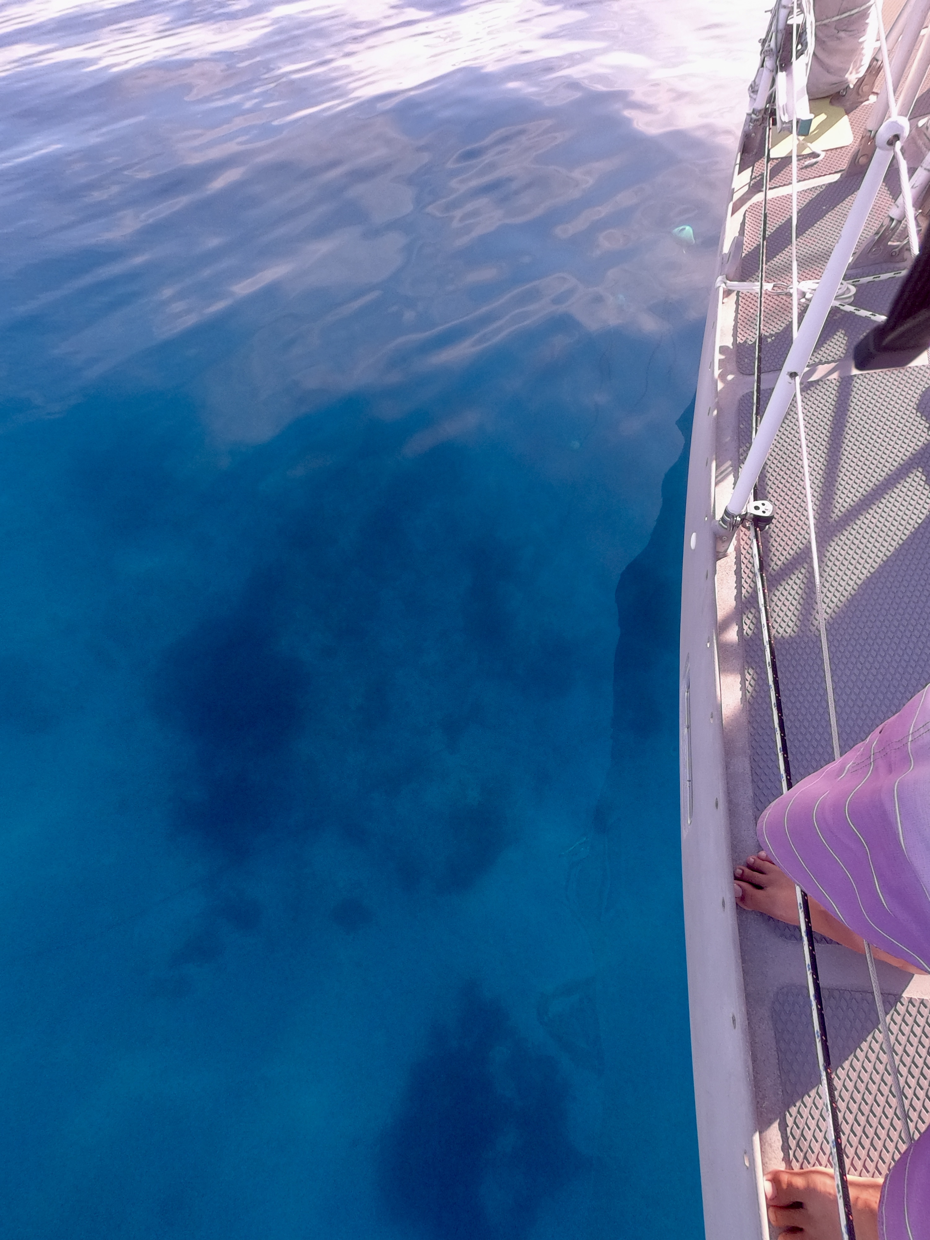
Once we had arrived at the anchorage inside Tahanea’s lagoon, looking over Exit’s toe railinto the crystal clear water, it immediately became very self-evident why this chain floating technique was needed.
We were going to have to sort our shit out. And as is often the case aboard a boat, that shit needed sorting sooner rather than later.
Simply deploying our anchor chain as we always had, would be the easy way out, but obviously here it would very likely lead to major issues.
It took a bit of time and a few tries to sort out all the logistics and variables. But very quickly we were sold on the technique. We would later conclude, even though we constantly heard other sailors asking about where they could get rid of their floats upon leaving the Tuamotus, that keeping the floats was a prudent idea and we found ourselves using the technique constantly even after departing French Polynesia.
As with any decision or strategy, all but the most foolish or naive understand that everything is a compromise of some kind. Advantages or benefits are always going to be accompanied by disadvantages or limitations.
Many boats don’t even consider the damage they can cause, not only by dropping their anchor right on top of something, but also by their chain dragging across the bottom while at anchor. Even in unobstructed patches of sand, there are endless numbers of marine creatures that can be disrupted and unseen ecosystems that can be decimated. In the case of hard coral, which may only grow at a rate of centimeters per year, an anchor chain that wraps around or sweeps across the top of a bommie can kill marine life that may take years to recover. Soft coral, sponges and other more delicate organisms may be wiped out completely. And with the destruction of these structures, comes the displacement of anything else which may be living there.
Even if you choose to completely disregard the potential damage to marine life, there remains a real risk to your ground tackle or the boat itself. Chain rubbing on rock and coral is bound to incur damage, not only to the galvanized outer layer, but also to the metal itself. Nylon rode can be chafed completely through in a manner of hours.
Getting wrapped around or caught on something at the bottom can be even worse. Even high tension half inch chain can snap if a boat finds itself on a short scope after becoming wrapped around coral bommies, rocks, or other obstructions in storm conditions which may bring high winds and/or building seas. And even if the chain doesn’t break, a damaged or destroyed bow roller or bow sprit, or a windless that rips clean off the deck can leave you in an equally big world of hurt.
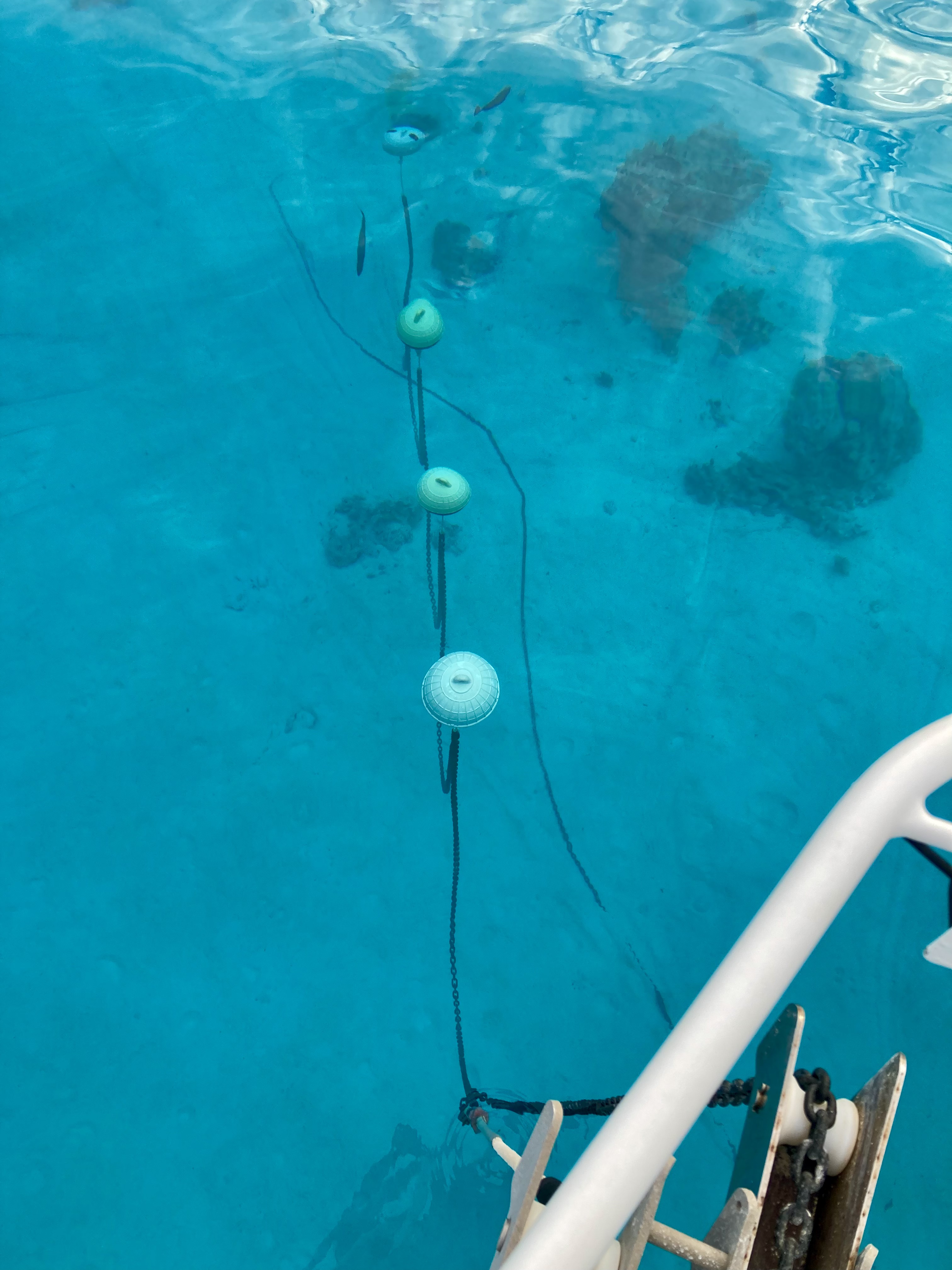
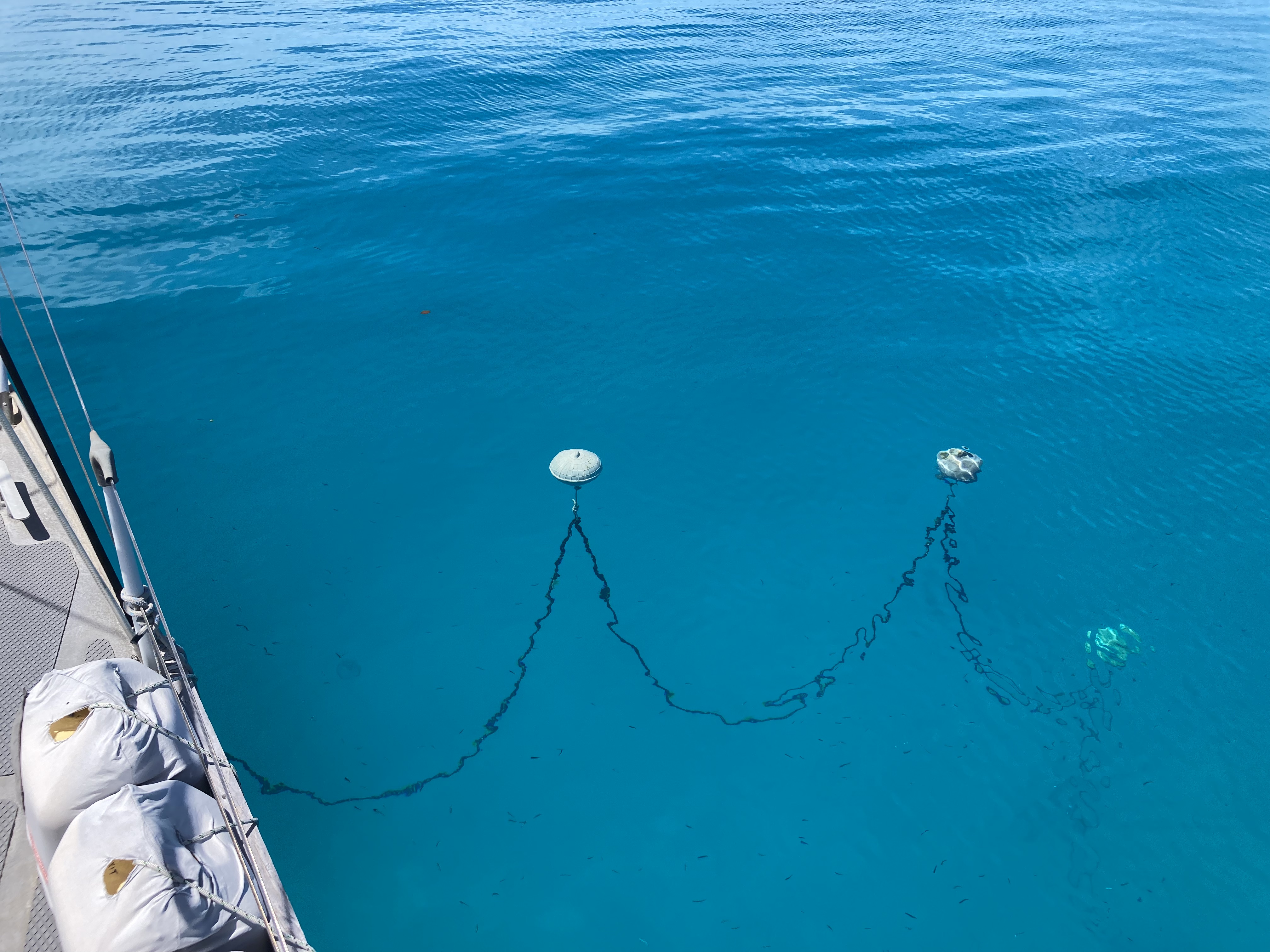
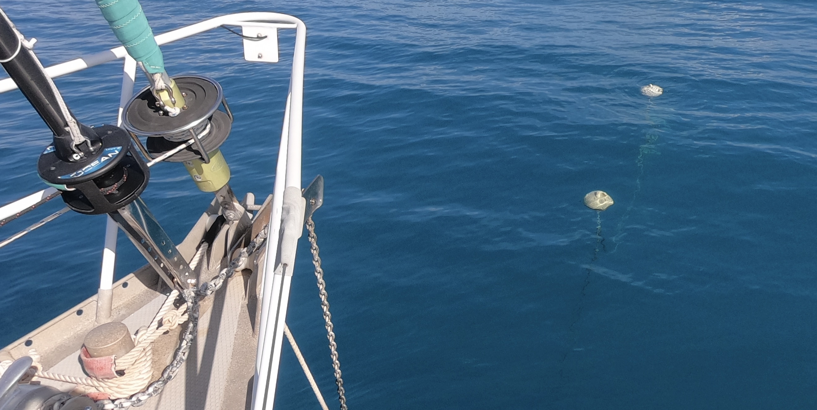
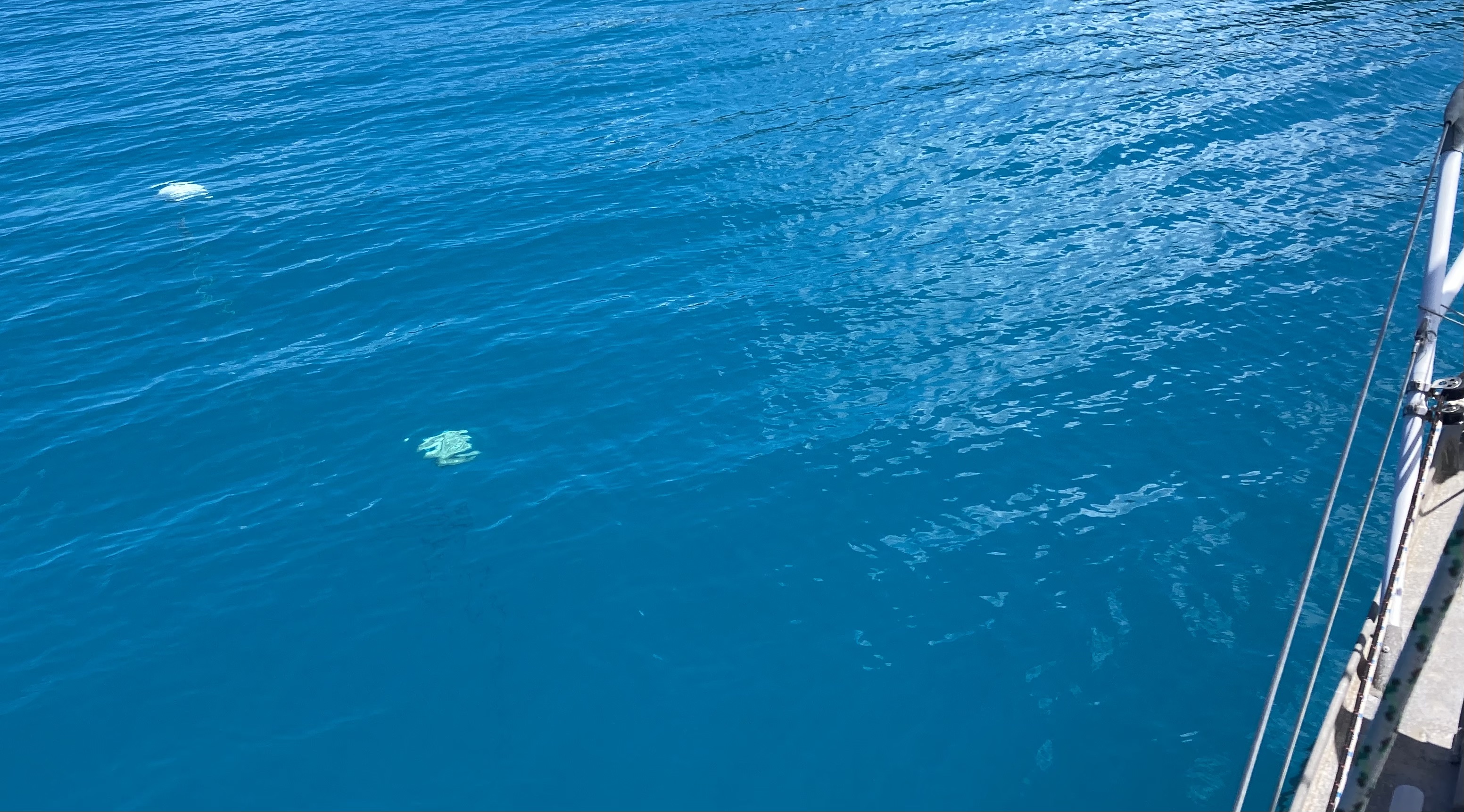
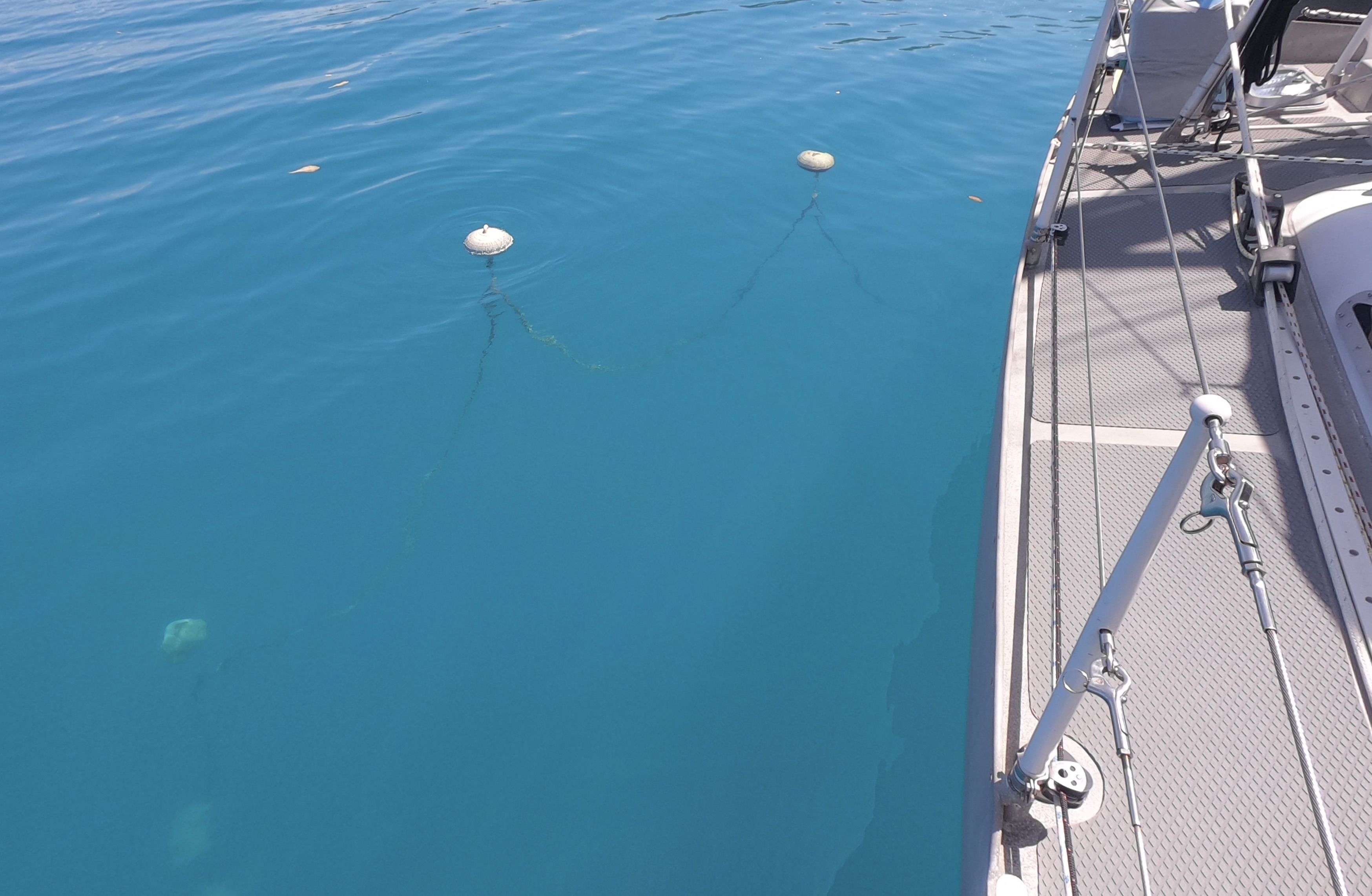
The strategy of floating the anchor chain is to get as much chain off the bottom of the sea floor as possible.
Others try soft inflatable fenders, but hard plastic floats seem much easier and more consistent to work with. The buoyancy of inflatable fenders will change depending upon the depth they are at. Consequently, others who tried to use inflatable fenders complained that either the fenders were just sitting on the bottom (not doing much at all) or they constantly had to adjust how much chain was between each fender depending upon the depth the fender ended up at. If the fenders are large enough, I suppose they could just be floated at the surface and the length of the line attached to the float could be adjusted, but that seems like much more of a hassle.
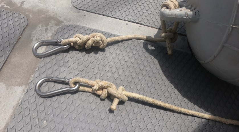
We had a foot or two of 3/8″ nylon line with one end tied to the hard plastic float and the other end attached to a shackle that clipped directly to one of the links of the chain. Cheap clips corrode and wear quickly and the springs don’t function for very long at all. However, we found a bit more investment in a good quality stainless steel clip provided a durable connection that was very convenient and easy to clip and un-clip to the chain.
Stainless steel clipsDCIM100GOPROGOPR3195.JPG
To float the chain, as with any anchor spot, our strategy is to first to try to locate a bit of sand with good holding to set the anchor. In a perfect world, it would be completely clear of obstructions 360° around the spot the anchor was being dropped for a diameter twice the depth of the water. For example, if we were anchoring in twenty five feet of water, we want a clean sandy patch a minimum of fifty feet across. This would give us at least 2:1 scope of clear space as a starting point.
However, we find a 2:1 scope generally is not adequate for us to get a good initial anchor set. Oftentimes, the anchor drags and slides across the bottom without digging in. If the open area is bigger, great. If not, we try to orient Exit into the wind while aligning ourselves on a clear path as we approach the spot at which we actually drop anchor. Even if there are some coral bommies, rocks, or obstructions in the area, once we drop anchor and start drifting backwards with the wind or reversing engine, the chain will usually temporarily orient itself along the clear path we have just established.
This allows us to pay out enough chain to get a good set; more like a 3:1 or 4:1 scope. We can now set our ground tackle just like we would if we weren’t going to float the chain. We have a short snubber attached to the samson post at our bow that we clip/unclip on the chain as needed to absorb any shock loads until after everything is set; then we finally attach the regular snubber in the end. Once we have backed down at 2000rpm and are happy with the anchor set, we pull the chain back up again until we are somewhere around a 2:1 scope.
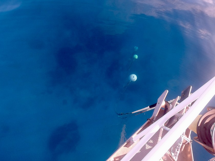
Now the first float can be attached. Then a bit of chain can be let out and the process repeated.
Obviously, the size of hard plastic float as well as size and type of anchor chain has an effect on float placement. We found with our 3/8″ G4 chain and the floats we acquired (about 13″ diameter), we were able to get the floats and chain oriented at a good depth with about 20-30 feet between each float.
If there is no wind the first float should be sitting at least five or so feet off the bottom. In twenty five feet of water, we would attach the first float at around 50-60 feet of chain; the second at around 80 feet; the third around 100 feet; the fourth at about 120 feet; and the 10-15 foot snubber at around 140 feet which would give us a final scope of 6:1.
Depending on the depth and the intended final scope, more or fewer floats can be used in conjunction with more or less distance between each float. In some conditions we found with 150′ of chain out, three floats actually worked better with a bit more chain hanging between each float and the floats sitting a bit deeper in the water.
The biggest concern we initially had was whether floating the chain would compromise our holding capability based upon the fact that there would not be as much chain on the bottom. Earlier, our mindset had often been themore chain on thebottom the better. While generally true, this doesn’t reflect potential damage that may be inflicted or limitations based upon surrounding obstructions in the area.
We found the cantilever effect of floating the chain seemed to be about the same as if there was twenty knots of wind. If there was any real breeze with the floats in place, there would be very little chain on the bottom at all, so we weren’t getting really any added holding from the weight of the chain. Without much breeze at all, there would always be that first 2:1 scope of chain on the bottom. As long as we were well set in good holding, we felt comfortable. If the anchor wasn’t set well enough that it would drag in 20-25 knot winds without the floats, we considered that a recipe for disaster anyway.
With very few exceptions this configuration helped immensely to avoid dragging over the top of or getting wrapped around coral. As Exit swung around, the suspended chain passed right over the top of any obstructions below it. There were numerous instances we watched other boats having to reset or move to an entirely new location with any changes in wind direction. Just as often we watched boats dealing with the misery of trying to raise anchor, only to realize they were hung up on something, oftentimes in the worst of conditions.
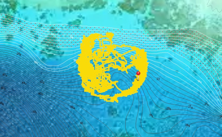
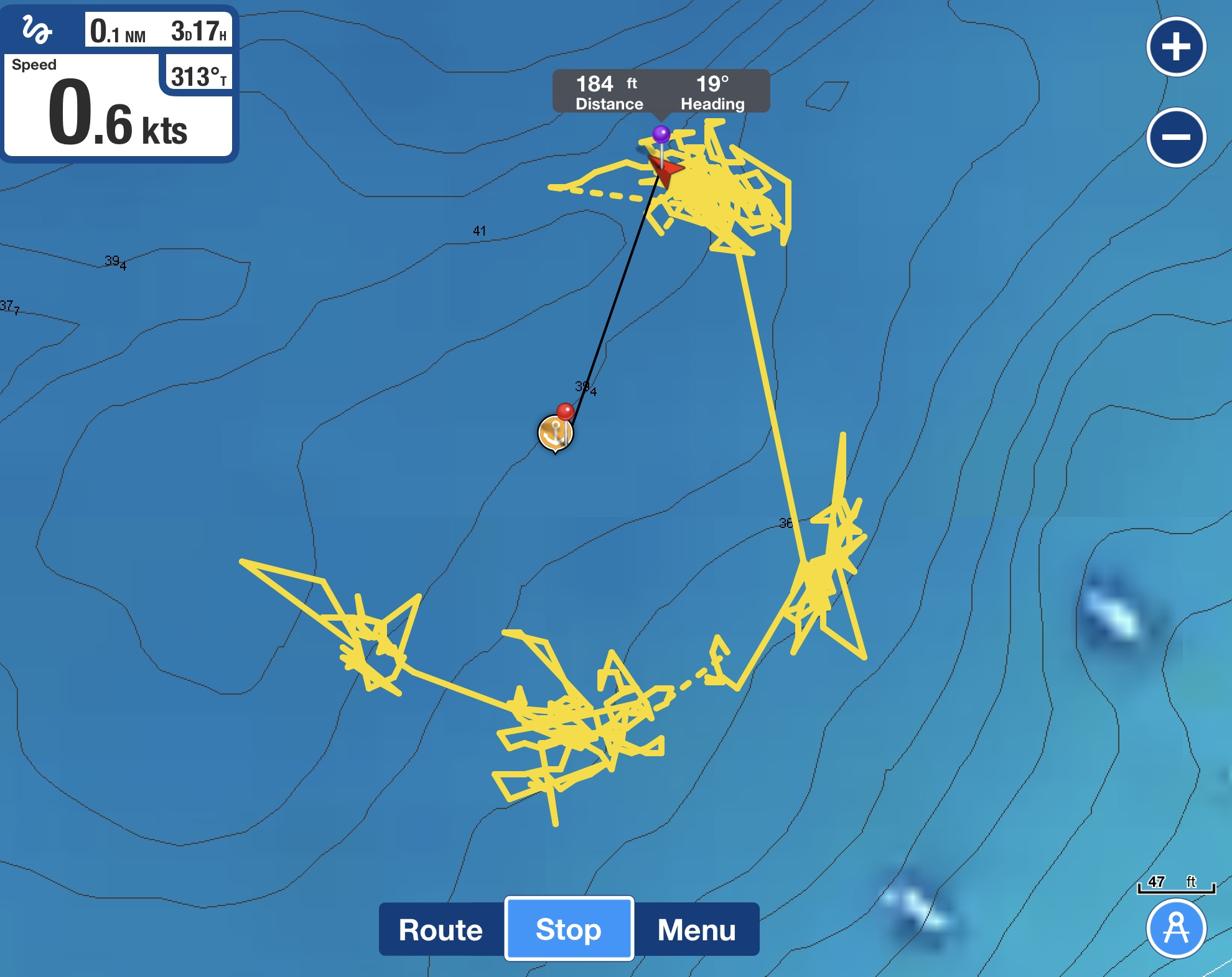
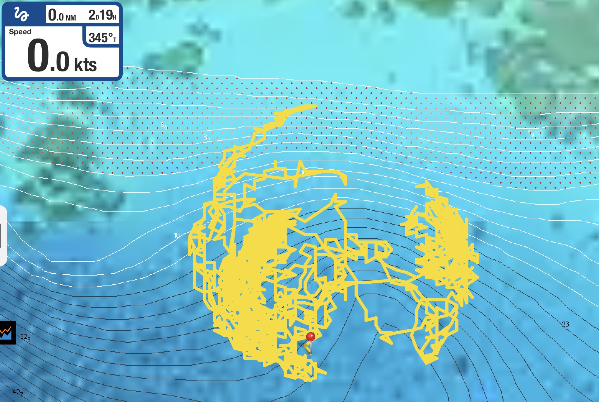
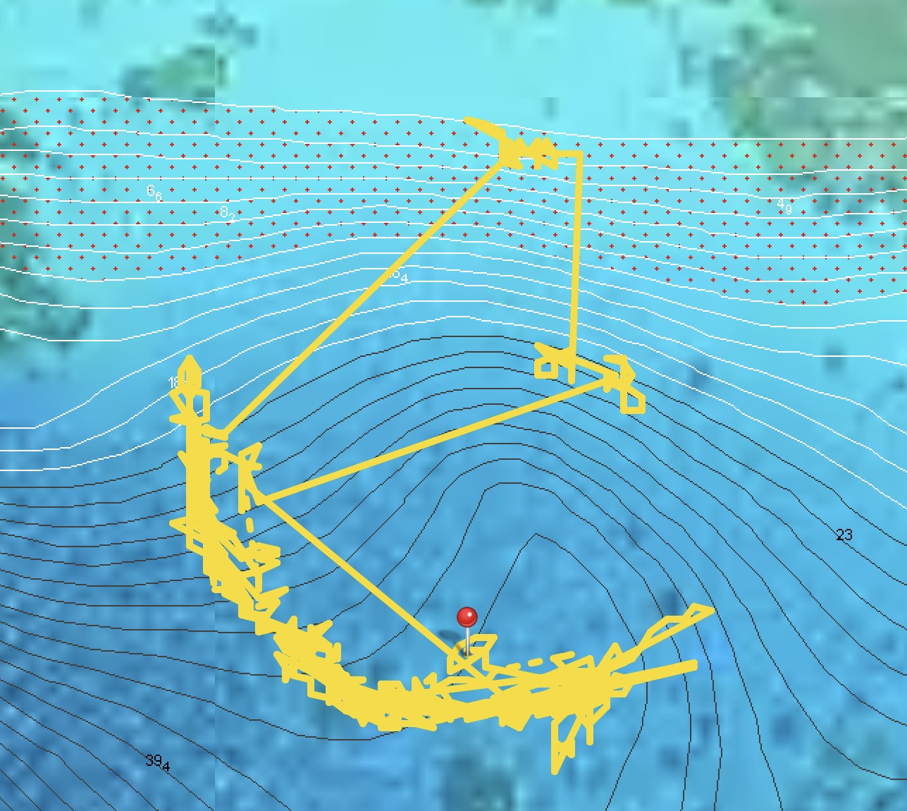
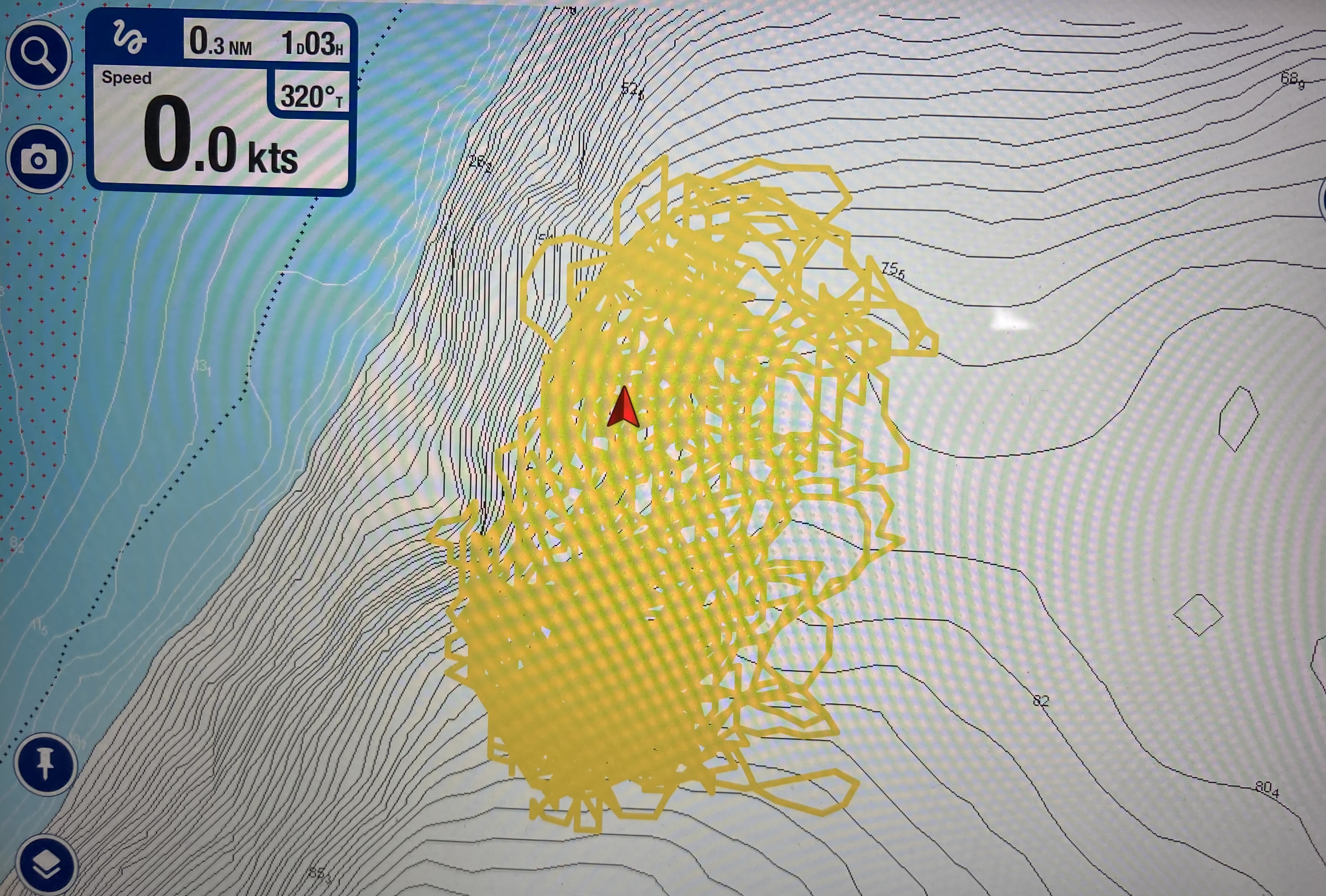
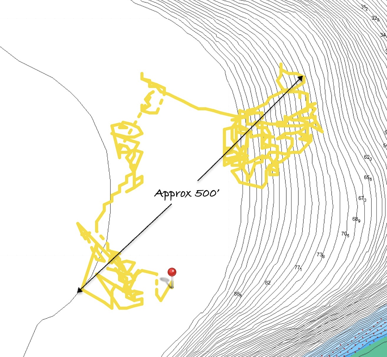
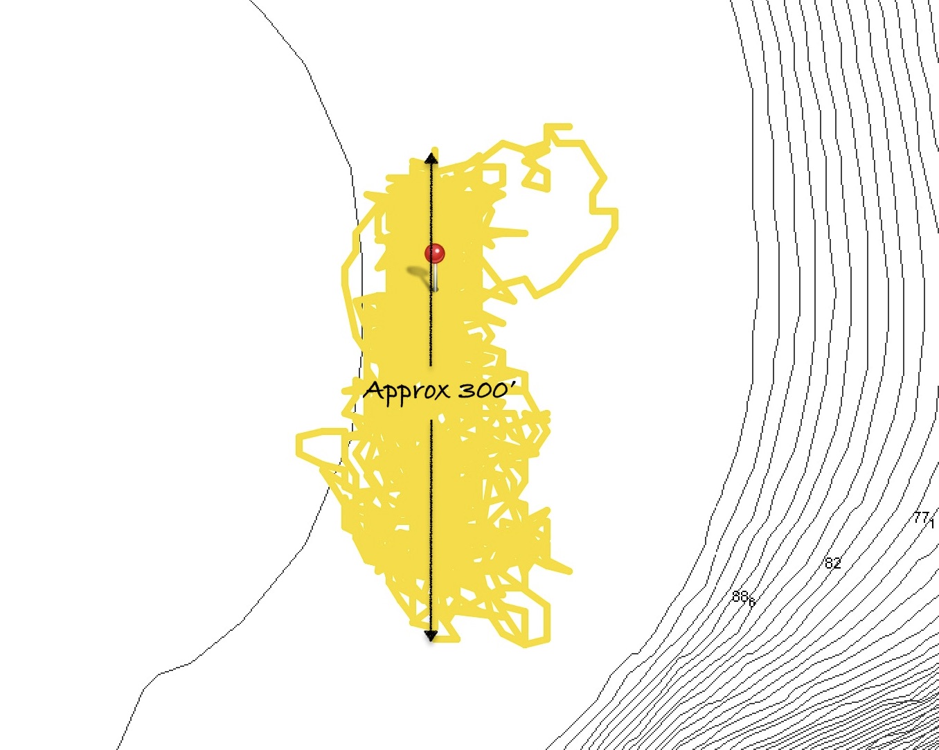
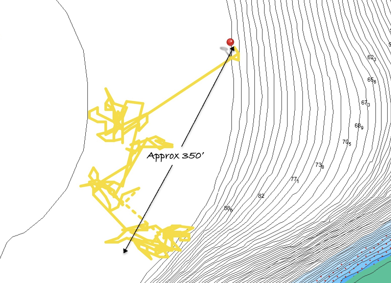
Without any doubt, having the chain floating off the bottom meant that Exit moved aroundmore than if the chain was sitting on the bottom. A LOT more. In fact, many times we would find the anchor track circling completely around the anchor point over the course of a couple of days, especially given the influence of changes in wind direction, squalls, and current changes. Still, as long as we had that 2:1 scope of clear sand around the anchor, we could circle the anchor with a hundred feet of chain passing over the top of dozens and dozens of coral structures without a single problem.
Anchor track with chain floated
The only time this wandering about becomes problematic for us is if there are obstructions within close proximity of the anchor. We found a handful of times, that the extra movement and drifting allowed by the floats could cause us to drift closer to these obstructions without the chain clearing over the top of them. In these cases, the weight of the chain on the bottom actually keeps us in place and out of the way of obstructions that we may pass across if the chain is being floated. As long as we are sitting clear of the obstruction, this is one situation where not having the floats out makes more sense.
Exit tends to hunt around a lot at anchor anyway, possibly because of our centerboard configuration, especially in gusting winds. When this was happening, we found a lot of the shock loading that we could experience as the boat reached its limit in one direction and turned back the other way was drastically reduced when our chain was floated. It acted as a bit of a snubber for the whole length of deployed chain, softening the loading or making it seem a bit spongier. This was truly an unanticipated benefit.
When the winds completely died, there were a few things we needed to be cognizant of. Without a breeze or currents pulling the boat at all, the floats may end up sitting on the surface, or just below. It some instances this can result in the floats actually banging against the side of the hull…minor, but an annoyance to say the least, especially at three o’clock in the morning. More serious can be the risk of floats being struck by passing boats. If the floats are actually on the surface, they can usually be seen; but submerged barely below, they can be almost impossible to notice before its too late, especially if the water is a bit choppy or a boat is passing close by and moving fast.
A problem we encountered a couple of times was having the chain, snubber, or floats becoming entangled with each other. If the boat drifts around a bit and the floats all congregate next to one another, the slack hanging down can get wrapped around one of the floats. Again, only an annoying inconvenience if it is noticed while there is still slack in everything.
But a couple of times we had a squall blow through or the wind picked up before this was noticed. Once we ended up with the snubber tensioned up around a middle float with fifty feet of chain and another float still slack between the tangled float and the boat; another time two of the floats were tangled together. Fortunately, even the 3/8″ nylon line we had attaching the floats to the chain was strong enough to hold. We were able to sort things out before the line parted and we lost a float or had bigger problems emerge. Still, it was literally a massive ball-ache to deal with.
Still, much more often than not, we were glad to be floating the chain. Later, once in Tonga and once in American Samoa, we experienced the two worst case of anchor chain fouling we had ever dealt with in over seven years. One was in over fifty feet of water; one was in nearly a hundred feet. In both instances, we were not floating the chain.
We experienced many instances where boats nearby found themselves hopelessly wrapped around coral bommies, even having to eventually dive their chains to free them. Numerous times we watched frustrated boat captains motoring around an anchorage looking for adequate open space to anchor. Even more often we saw boats make two, three, four, even five repeated attempts to anchor in limited space. Sadly, more commonly than anything else, we saw boats drop anchor without the slightest concern whatsoever for what was underneath them; completely oblivious to the damage they were obviously causing.
In sustained winds of thirty knots gusting into the upper thirties, both during harrowing squalls that jumped from four to thirty-four knots in one puff as well as consistent blows that lasted for multiple days, sometimes with winds funneling down from highlands or through valleys causing erratic shifts in wind direction, the floats never caused our Rocna 33kg anchor to drag.
We successfully used the floats anchoring at depths ranging from twenty to a hundred feet.
Removing floats in response to changing conditions was certainly much easier than having to lift the chain to put on floats we later deemed necessary. The floats can be removed quite quickly even by free diving down to them. On the other hand, the floats definitely can’t be pulled down to attach to the chain underwater, even with scuba gear.
Some time later, after departing French Polynesia, while anchored in a hundred feet of water without any way to see what was on the bottom, on multiple occasions we managed to successfully use the four floats with our entire 350′ of chain we have aboard out. We estimated there was never more than one hundred feet of chain on the bottom. It appeared to us that, even with our anchor track drifting across a diameter of 300-500 feet, we never hung up on anything. Each time, the anchor chain came up without an issue.
Out of fifty different times anchoring in probably forty different locations, we found floating the chain beneficial in all but a handful of instances. We only had two situations in which we had deployed the chain floats where we subsequently decided we needed to remove them.
After understanding the limitations of floating the chain and a few of its quirks, we have become absolutely enthusiastic advocates for the technique. Its advantages outweigh the disadvantages in almost every case.
As temporary visitors to an area, we have an absolute obligation to do everything possible to minimize the impact we create and reduce risk of damage whenever feasible. As sailors, sea gypsies, and offshore residents, it is imperative that we embrace our role of ocean stewardship and make every effort to protect the marine life around us. It is a minimal courtesy we can extend to our neighbors and fellow marine inhabitants.
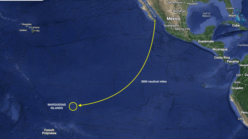
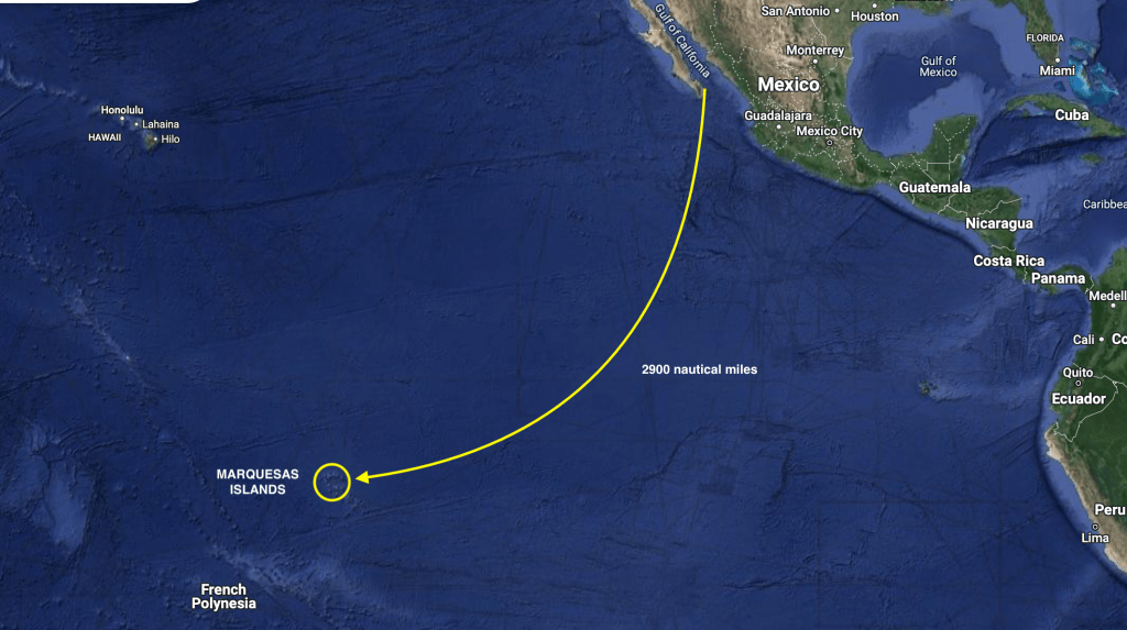
Exit’s current location smack dab in the middle of the Pacific Ocean
May 27 – June 11, 2024
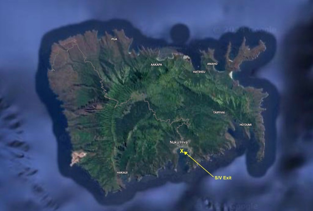
After more than twenty nine days sailing across the vast expanse of the Pacific Ocean, Exit had successfully carried us three thousand one hundred twenty six nautical miles. Our point of arrival at French Polynesia was Nuku Hiva, in the Marquesas Islands.
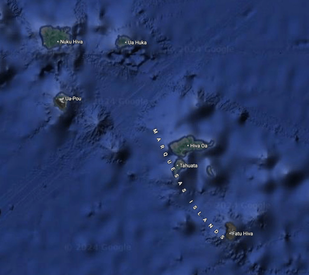
Scattered over an area of 1,200 miles in the South Pacific Ocean, the 121 islands and atolls (give or take some smaller islands included with their larger neighbors or that are little more than rocks sticking out of the water) that form the country of French Polynesia are divided into five different island groups – the Marquesas Islands, the Tuamotus Archipelago, the Society Islands, the Gambier Islands, and the Austral Islands.
The Society Islands (by far the most recognizable group which include Tahiti, Bora-Bora and Moorea) – subdivided into the Windward Islands with four high islands and one atoll and the Leeward Islands with five high islands and four atolls – represent almost half of the country’s total land mass and are home to nearly ninety percent of the country’s 300,000 or so citizens.
By comparison, the twelve high islands which make up the Marquesas Islands, almost the same number as the Society Islands group, are only about two-thirds as large and have a population of only about 9,500 people.
The Tuamotu Archipelago, an impressive 3,100 smaller islands or islets grouped into 80 atolls, whose population of 16,000 people is much higher than the Marquesas, has only about two-thirds of the Marquesas land mass, and many of the atolls are uninhabited and inaccessible.
The Austral Islands, with five high islands and one atoll, have about half as many people as the Tuamotus living on about one-fifth of the space.
Similar to the Austral Islands, the Gambier Islands have six high islands and one atoll. With less than 1600 inhabitants it, by far, has the lowest population; however, comprised of less than seventeen square miles of land it also has the second highest population density of the entire country.
Of the 121 islands and atolls that make up French Polynesia as a whole, only about seventy five are inhabited; and, of those even fewer have anchorages accessible or safe enough for Exit.
Still this left dozens and dozens of islands we had to choose from at which to spend the ninety days we had been allotted on our standard visa.
Nuku Hiva and Tahuata – The Marquesas Islands, French Polynesia
Nuku Hiva of the Marquesas Islands
Our clearing in process for French Polynesia had actually started before we departed Mexico. Even though we had decided against the more difficult six month visa, our ninety day visa was still complicated with lots and lots of paperwork. In fact, for only the second time since we had started entering countries by sailboat, we opted to hire an agent which cost only about $30. It took a lot of the grief out of the whole process and minimized any chance of mistakes.
After going ashore and completing our official clearing in procedures with our agent and island officials, we had a wander around. Having just completed thirty days at sea, there was no doubt that the ground around us seemed to be in motion; it would take quite some time before the sensation would completely subside. Not land sickness…there was no nausea; just a feeling that the solid land we were standing on wasn’t completely solid. The tipsiness of a phantom ocean motion.
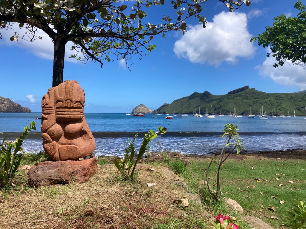
Nuku Hiva – Looking out on Baie de Taioha’e
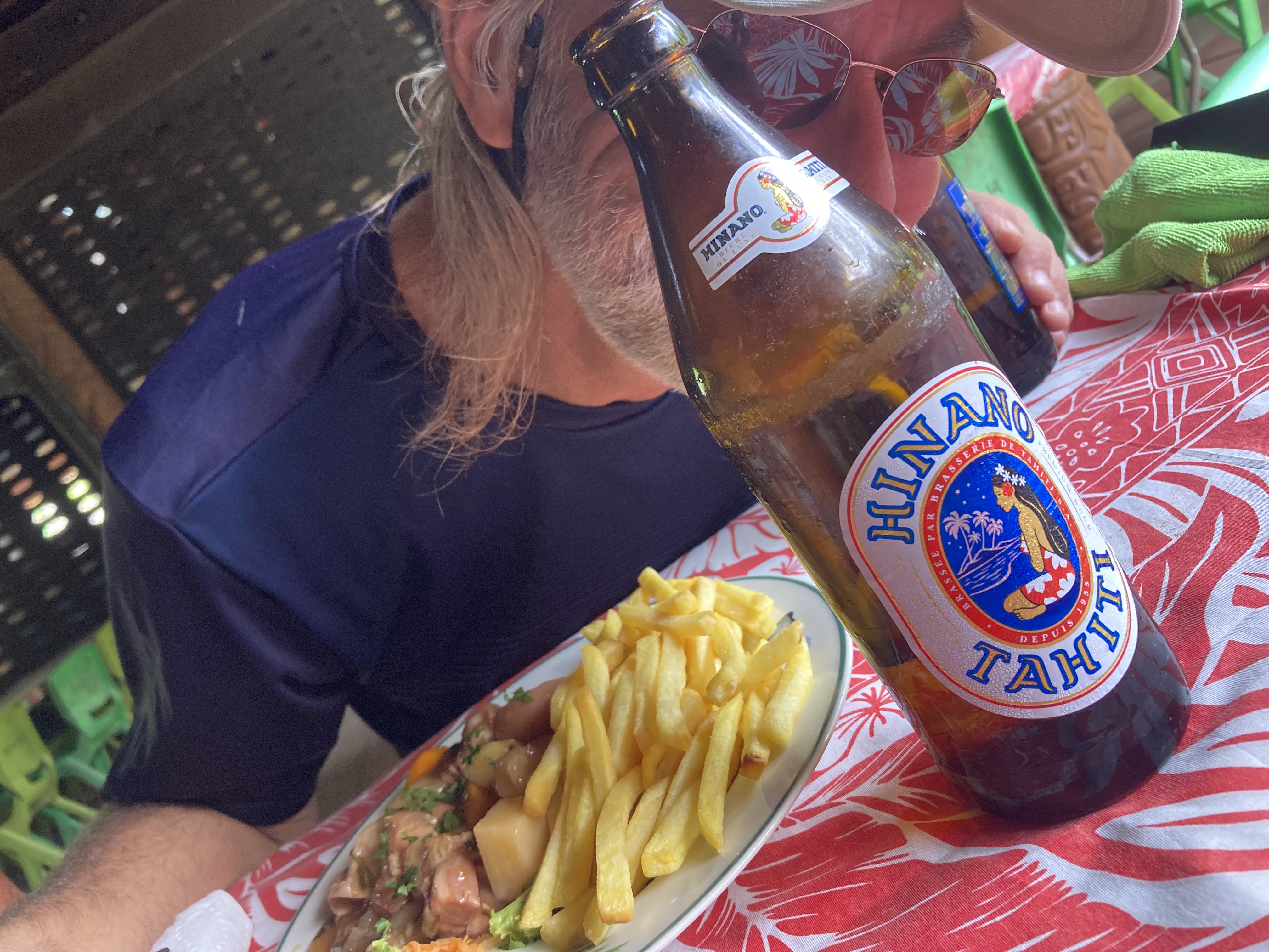
We decided that a bit of food prepared by someone else and a few Hinano Tahiti beers sounded like a great idea. We joked that maybe a few drinks would even help us to walk straight again!
It was already a forgone conclusion that the cost of things would be significant higher in French Polynesia. Of course, this was understandable. After all, we were thousands of miles from anything other than another island. In anticipation, we had stocked our lockers to the brim in Mexico, not just in preparation for the month at sea, but also to try to minimize both our impact on the local inventories as well as our bank account.
Everything we could think of that was packable for long term storage. Canned and packaged meat for me, dried beans, canned veggies and fruit, coffee, canned and boxed beverages, dozens of bags of chips, peanuts, cookies, various treats… and alcohol. Lots and lots of alcohol. We had departed Mexico with only about a case of beer; but we also had more than fifty bottles of wine, one and a half gallons of Jack Daniels, gallons of Kraken rum, gallons of gin, gallons of vodka, gallons of tequila.
After a month of sailing across the Pacific non-stop, thankfully, we had depleted very little of the alcohol stores. But some of the fresh vegetables, almost all of the fresh fruit, eggs, bread, and a number of other things were getting down to a pretty grim level.
Consequently, despite provisioning as though the Apocalypse was arriving (as we always do), we ended up experienced a rather stunning case of sticker shock as we actually began to make purchases…a loaf of bread $8; a six-pack of beer $21; any fresh fruit or veggies (what could be found) quickly racked up at least $10 per bag; and some commodities had caps on how much you were allowed to purchase (no more than two dozen eggs, for example). Yikes!
Another striking distinction from what we had become accustomed to in Mexico, was the overwhelming abundance of green. There was no doubt we had made a drastic transition in landscape.
For two years, we had become used to the browns, reds, pale yellows, and grays, characteristic of the Sea of Cortez, which represented a harsh and unforgiving climate almost completely devoid of moisture. Drought riddled parched earth, scrub brush, low-lying twisted bushes and yellowed grass. Green was a color reserved mostly for the hardy cactus – gnarled, scarred and weathered, armored with menacing needles and spikes instead of leaves.
Now, we could actually smell the dank and pungent odor of wet dirt. The endless shades of green that comprised the foliage covering the island were a complete contrast to Mexico. Rain was obviously no longer an event counted on fingers in a year; it was daily way of life.
Nuku Hiva, French Polynesia
Within a few days after our arrival, we felt fairly rested up and had re-stocked some of our depleted provisions. It was time to do some exploring.
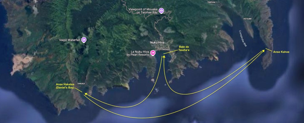
We left Baie de Taioha’e and sailed six mile west to an anchorage called Anse Hakatea (or Daniel’s Bay).
June 1 – Daniel’s Bay
Daniel’s Bay
A few days later we sailed ten miles east, past Baie de Taioha’e, and dropped anchor at Anse Kahoe. Then back to Baie de Taioha’e, followed by another return to Daniel’s Bay.
The Marquesas Islands are the first French Polynesian island group one encounters when sailing from Mexico and so, after such an epic distance, it was an obvious place to begin our exploration of the country. There was no doubt, the landscape was breathtaking and the people seemed incredibly friendly. However, we had a lot of area to cover within the duration of our limited ninety day visa. Consequently, after a week bouncing between the three different anchorages on the south side of Nuku Hiva we concluded that it was time to move on.
Moving about Nuku Hiva
The distance between Nuku Hiva and Hiva Oa (the other main island in the Marquesas group) was about eighty-five nautical miles; a bit more than a day sail for us, but an easy overnight passage.
Hiva Oa is probably the most popular place to clear in, but we didn’t like the prospects of its anchorage nearly as much so we had chosen Nuku Hiva to clear in to the country. Having already accomplished that, combined with the knowledge that there would probably be a lot of sailboats just hanging out in Hiva Oa, we concluded that we preferred the smaller island of Tahuata as our destination. It was right next to Hiva Oa, making it essentially the same distance.
Overnight passage to Tahuata
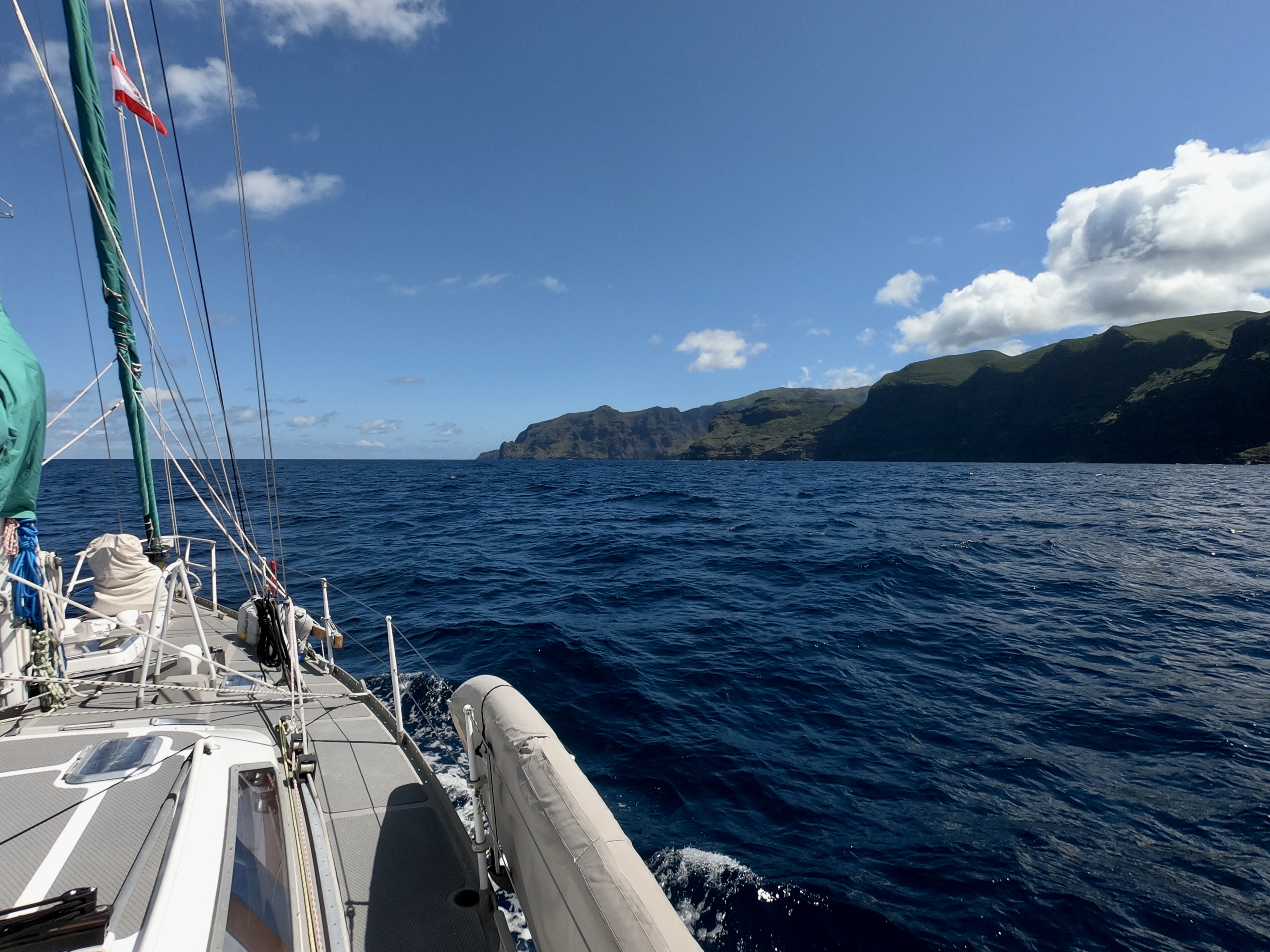
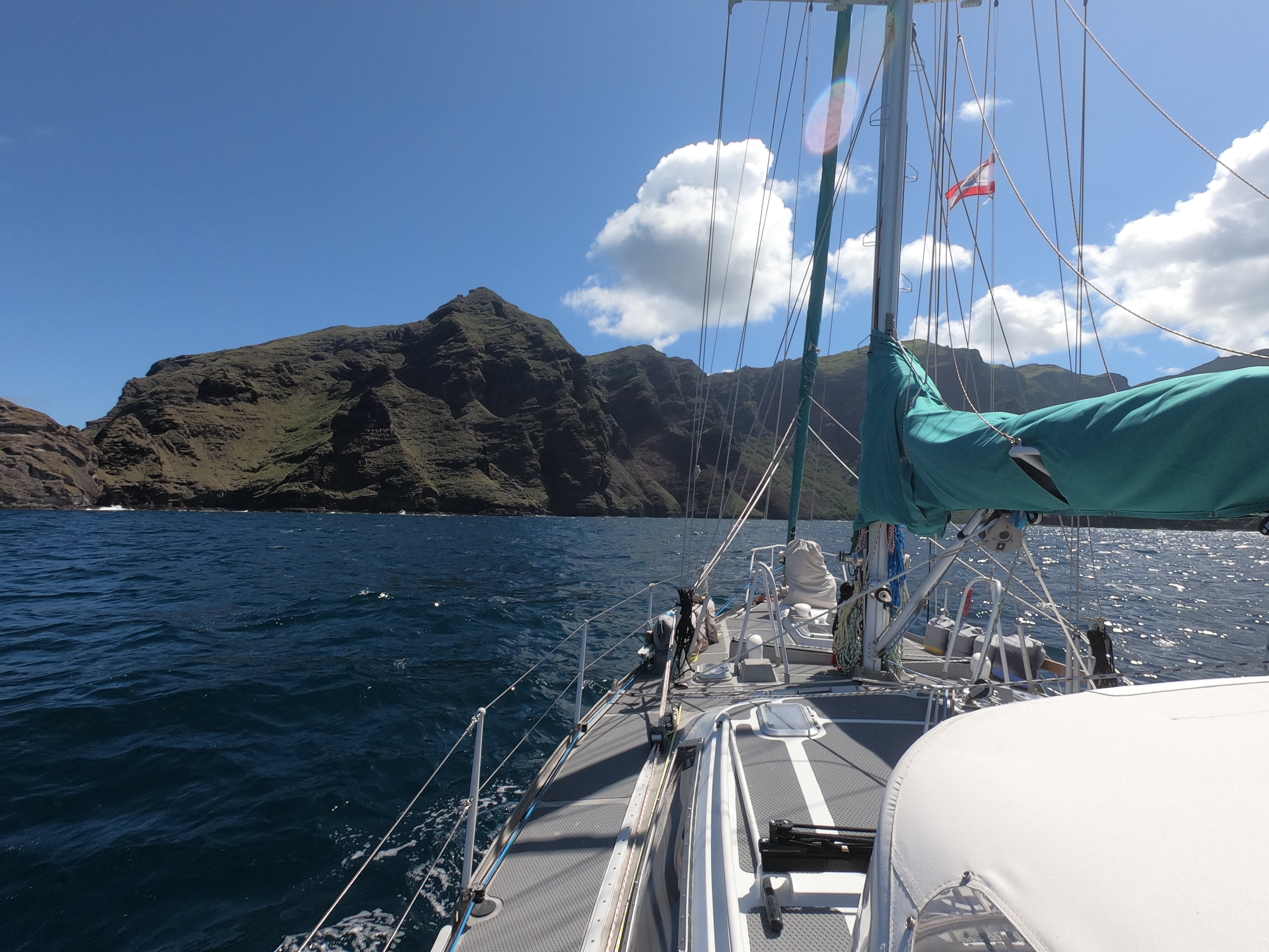
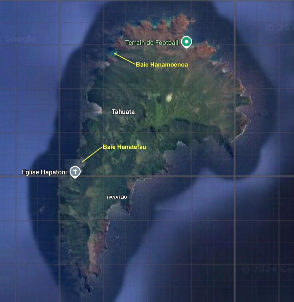
We picked up anchor just before noon on June 7 and, after a very relaxing mostly downwind overnight sail that ranged between twelve and twenty knots, we arrived at Tahuata just after sunrise. A short time later we were enjoying breakfast beers at anchor in Baie Hanamoenoa.
Sunrise arrival at Tahuata
After two days, which included a very quiet and uneventful birthday for me, we moved to Baie Hanatefau, five miles to the south.
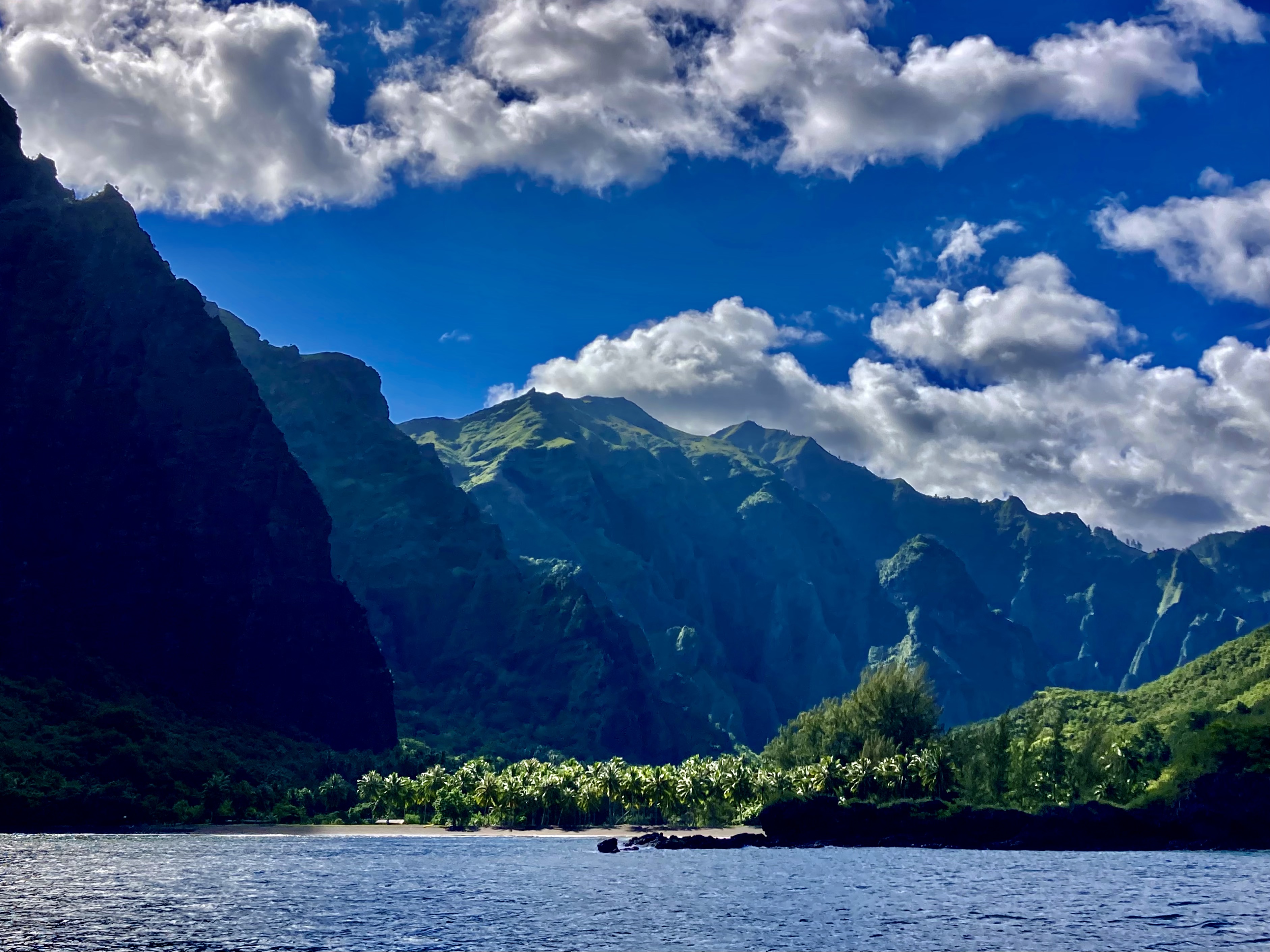
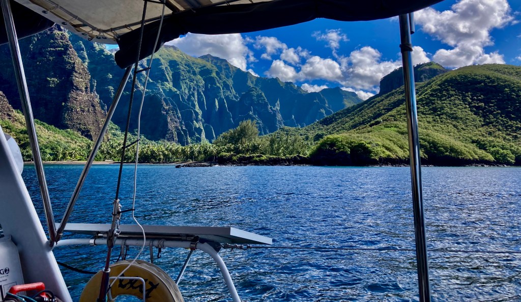
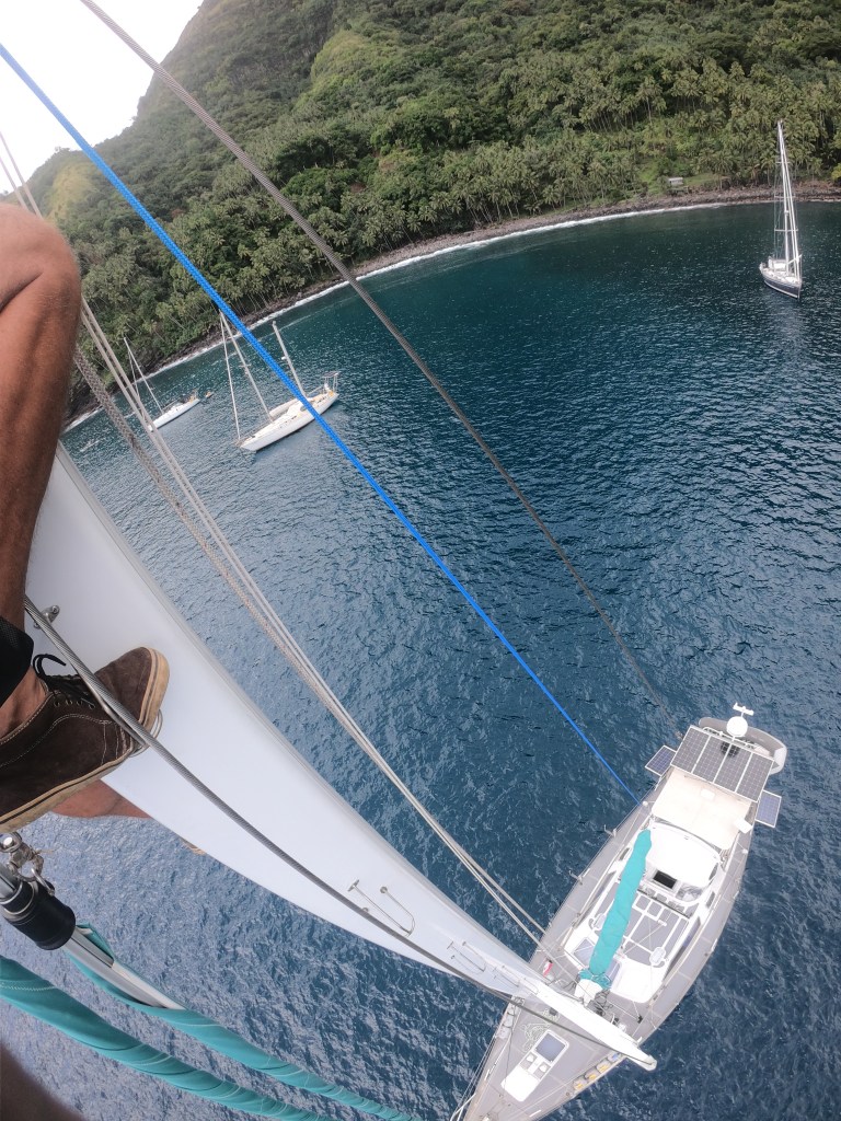
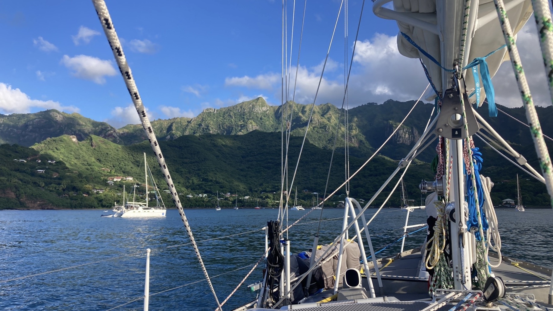
Baie Hanatefau provided not only a postcard perfect backdrop to anchor in, but also a very protected bay with absolutely flat surface conditions.
This allowed us to address our wind indicator sensor atop the mast, which had been out of commission for a month. Having it die midway between Mexico and French Polynesia had been, to say the least, less than ideal. We had ended up sailing sixteen hundred miles without it, which had reduced the accuracy of our data interpretation for sure.
Not that it wasn’t possible to still observe what direction the wind was coming from using the old school optical sensors we had been born with, as well as having some rough sense of wind speed by combining what we were seeing on our weather forecasts with the real-time data verification of the likewise old school technology of the licked finger in the air sensor.
Still, it was nice to have a better indication of wind than: not enough, just right, or too fucking much. And even nicer to have it clearly and conveniently available on a display in both the cockpit and at the nav table.
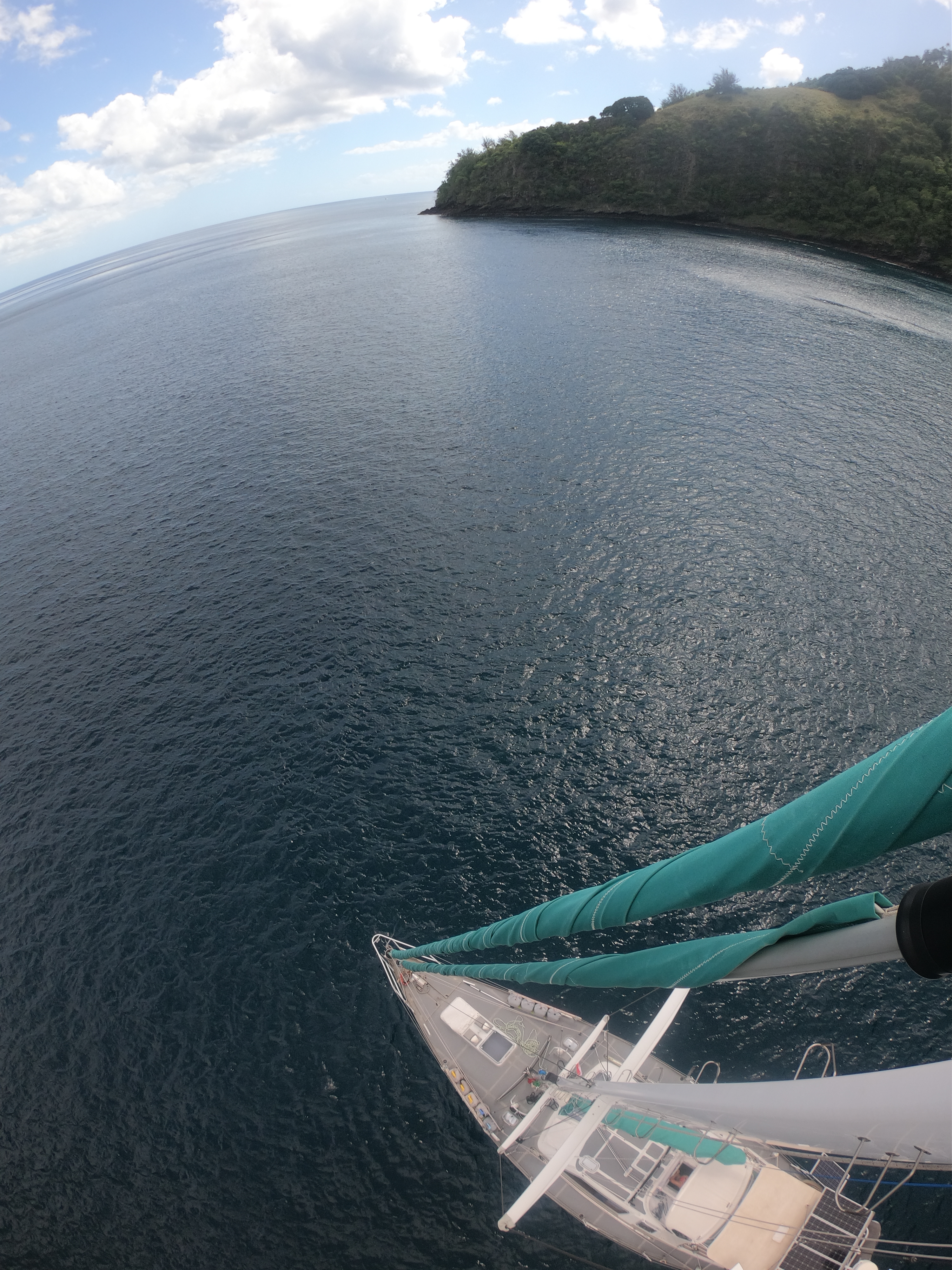
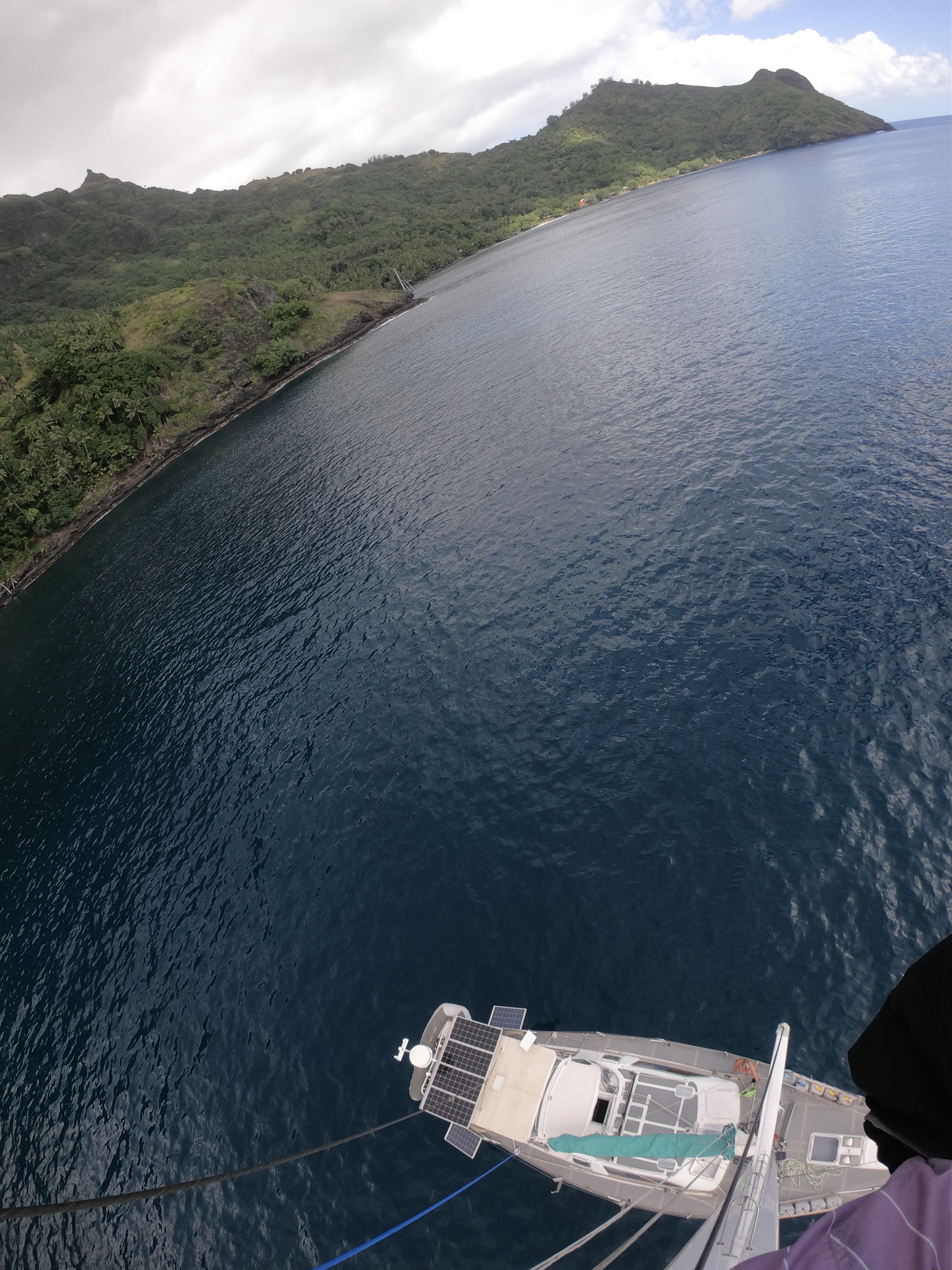
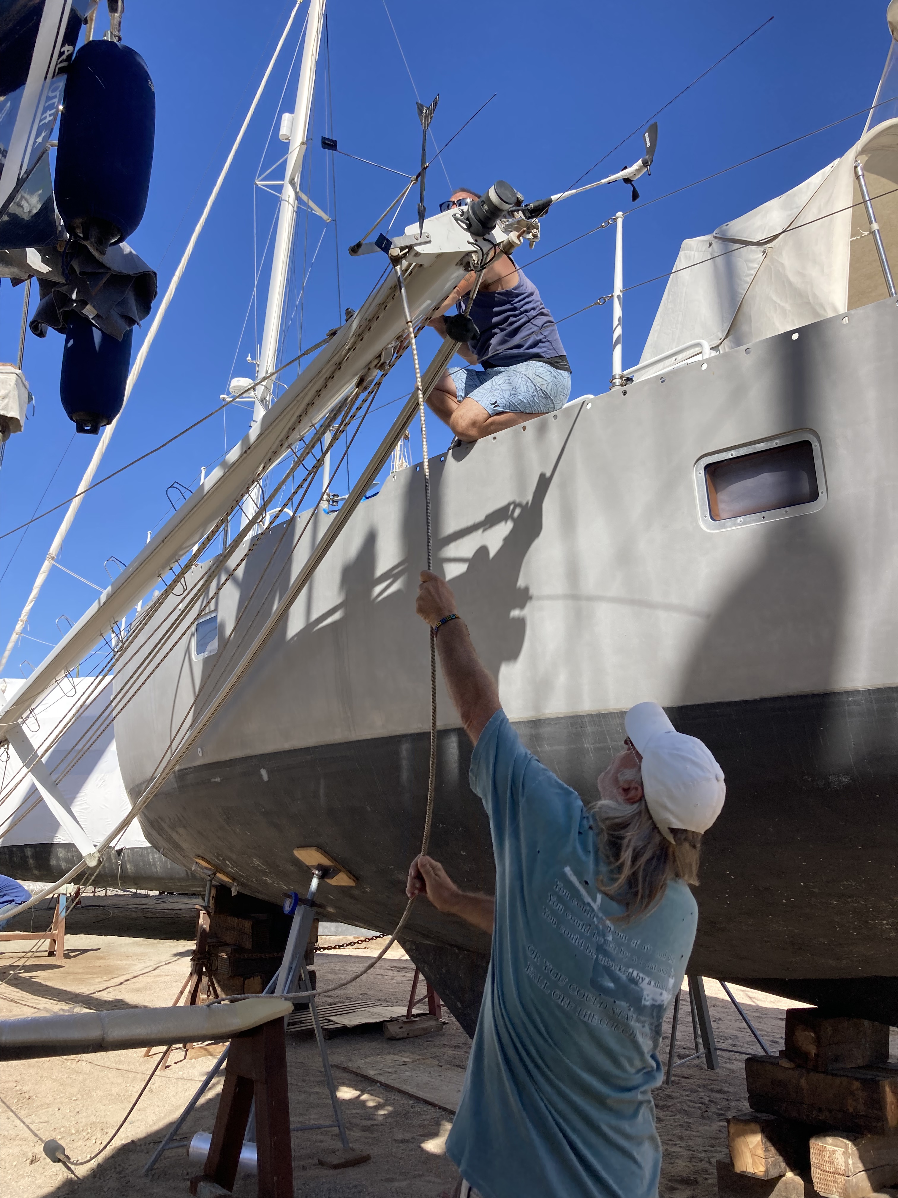
Hence, another trip up the mast. Fortunately, this time in perfect conditions – at anchor in flat water with enough clouds to prevent the sun from cooking me yet not enough to unleash a torrent of rain and/or lightning.
Best view in the house
We were relieved to learn, as is often the case, our wind sensor failure was the result of nothing more than a bad connection. Inconvenient, no doubt; but not catastrophic. Sometimes, it just gets lonely up there all alone, I reckon, and wants some attention.
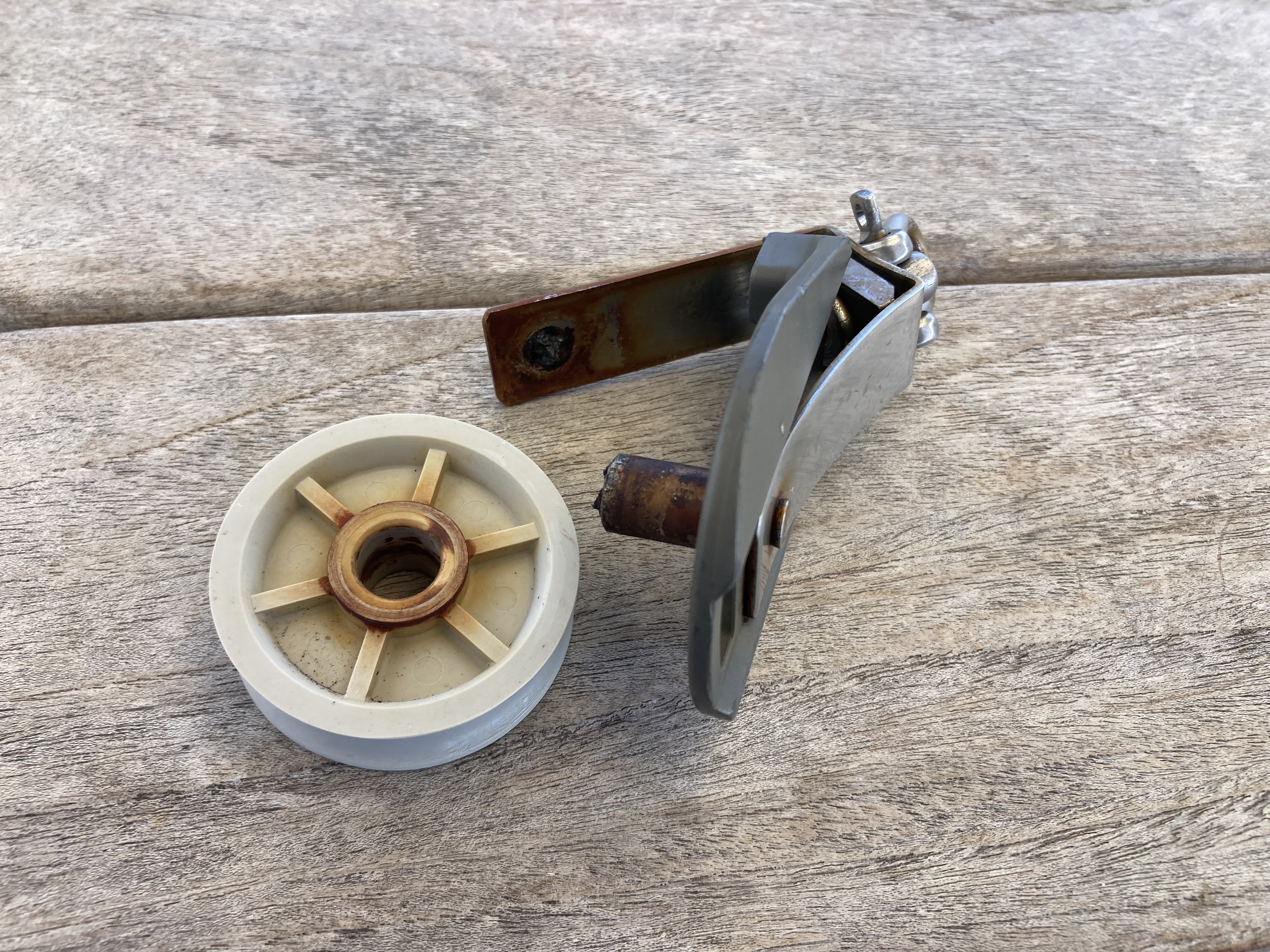
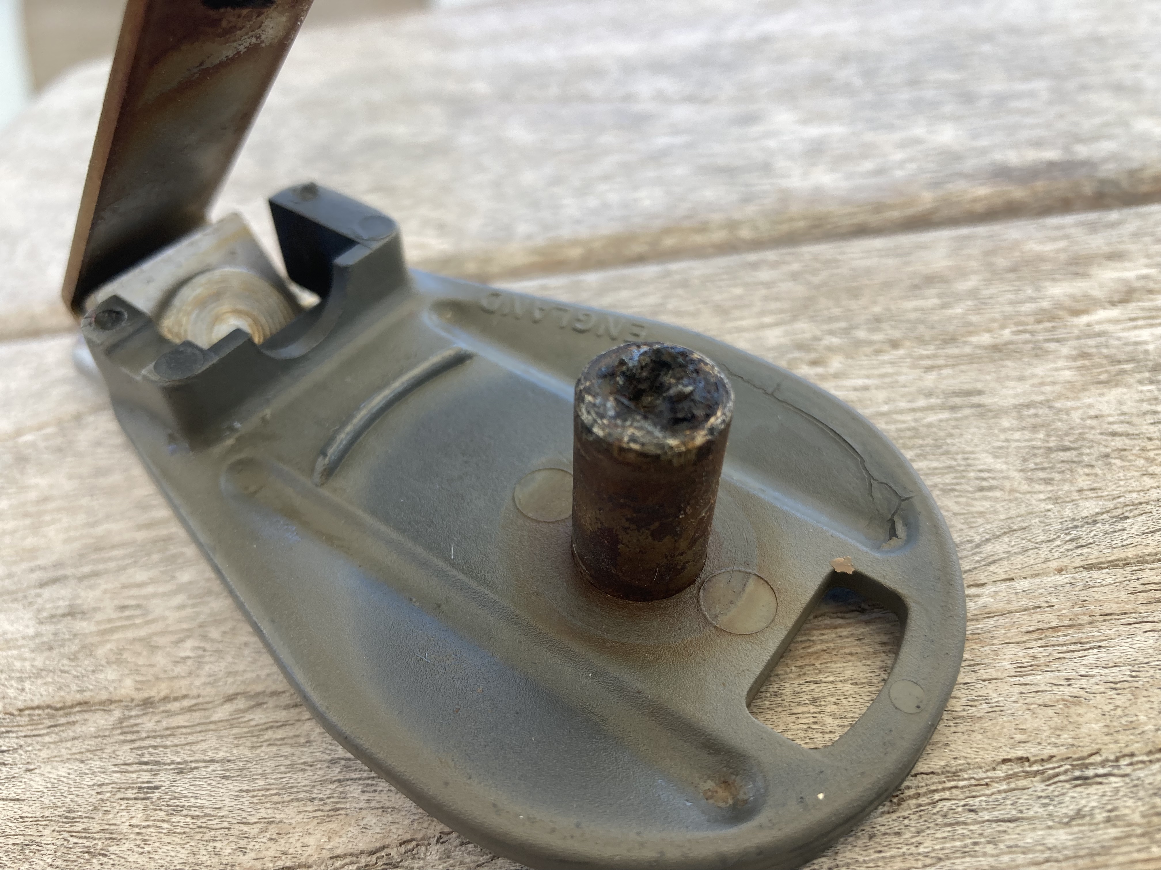
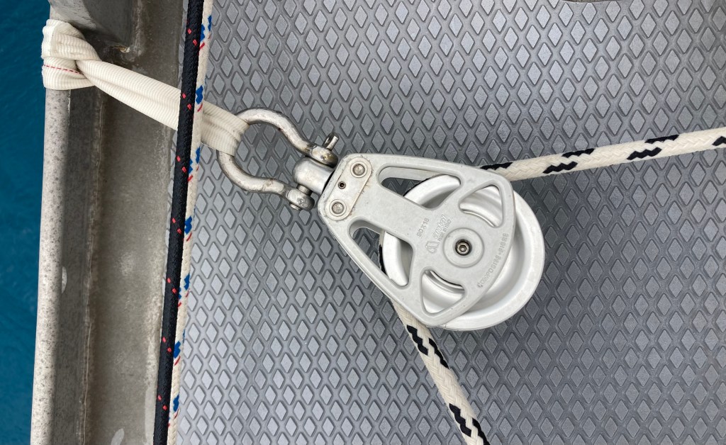
Amazingly, we had fared very well with all our equipment considering the more than three thousand miles of exposure to all the elements and stresses the Pacific Ocean had subjected Exit to. Outside of the wind sensor, we had only temporarily lost our autopilot Jeeves (also probably an intermittent connection gremlin), had our genoa furling line destroyed in a squall (which had already been sorted), as well as two blocks on our preventer line (which prevents the boom from experiencing an uncontrolled gybe) having failed. But both blocks were rusted and exploded simply due to wear and tear, so we kind of had that coming anyway.
These had already been replaced by massive solid aluminum blocks we found in our spares locker which appeared rather bulletproof – it seemed to me that the boom would fail before these things would.
Getting the wind sensor at the top of the mast figured out meant we were back to 100%…or as close as you could ever ask for on a boat.
Which also meant we were good to go for a longer passage than day sailing or overnight island hopping.
Though we had been in the Marquesas for less than two weeks, we wanted to make sure we had plenty of time for what lie ahead. We had made a fairly firm decision to omit both the Austral Islands and the Gambier Islands groups from our itinerary. Had we arrived earlier with six month visas we may have approached things differently. However, after much research and discussion, we felt confident that the Tuamotus Archipelago and Society Islands would ultimately be where we wanted to concentrate our time. These, we felt, would be the places offering the most enjoyment and adventure.
At just over four hundred nautical miles distance, we expected it to take us three to four days to reach the Tuamotus Archipelago.
And so, with forecasted east winds in the twelve to eighteen knot range and fair weather expected, we set sail for the tiny atoll of Raroia.
Of course, we were learning quickly that forecasts in the middle of the Pacific were at least as inconsistent as we had come to know in the Sea of Cortez.
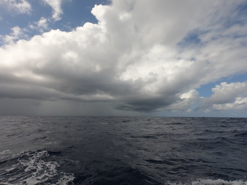
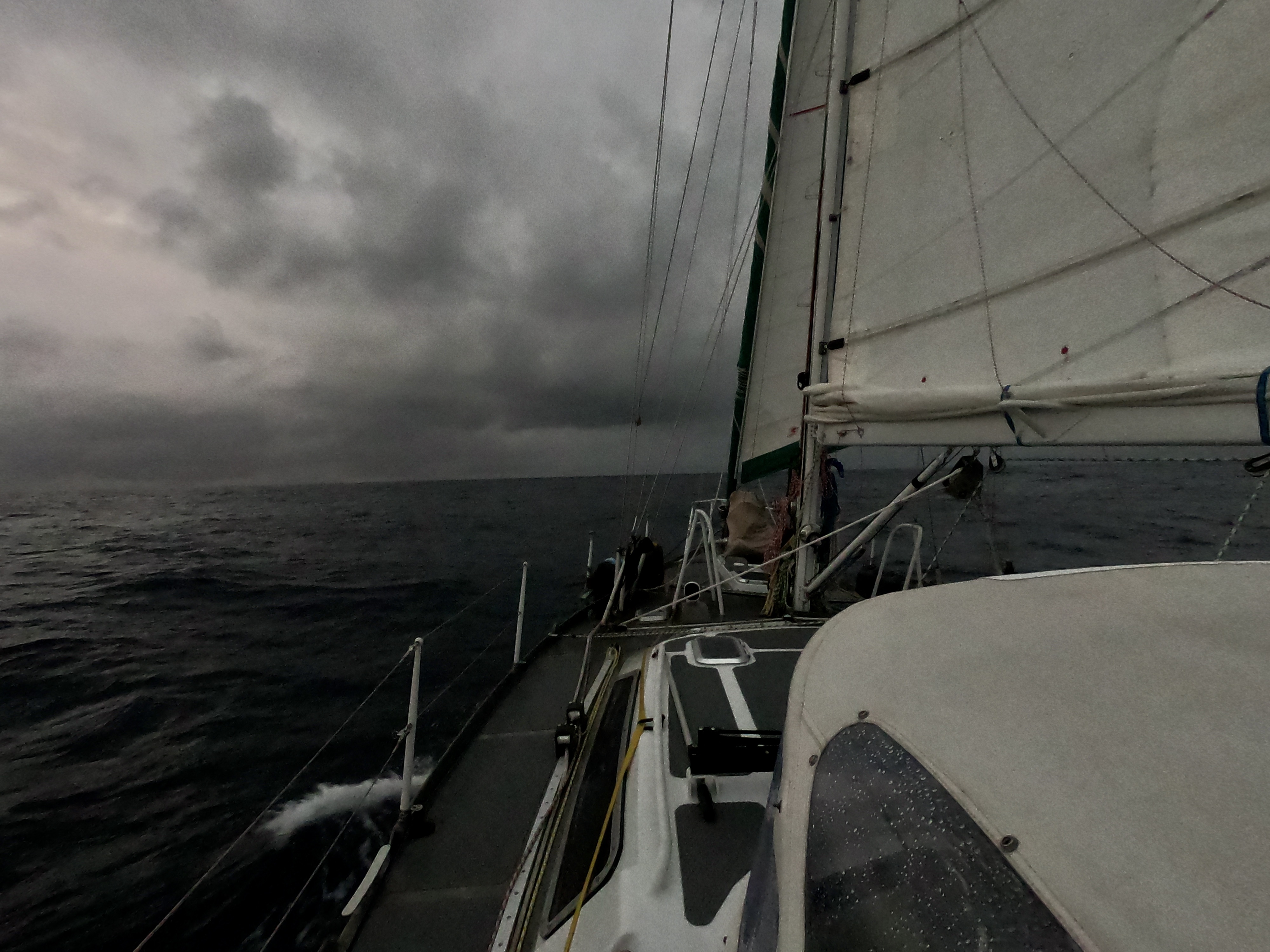
Threatening clouds underway
When we finally got our easterly winds, eighteen hours after departing Tahuata, they punched us with twenty four knot gusts. For a time, we saw more waves and spray make their way onto our dodger than ever before.
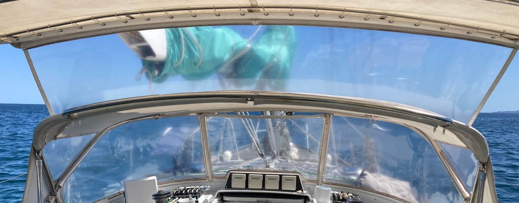
Just after sunrise on our second day, we experienced what appeared to be a union strike. Jeeves, the autopilot, and the wind indicator at the top of the mast (yes, the one we had just got working again) both decided to walk off the job. It was just going to be one of those passages.
No wind data on the displays
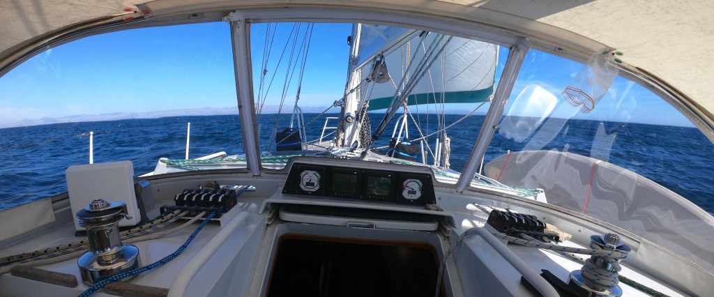
While our displays were down, our only crew member “Slo-T.H.”, seen in the previous photo resting in front of the displays, maintained a constant watch. For over 10,000 nautical miles – ever since Kris found the carved wooden sloth floating at the surface while paddling her SUP near the Bocas del Toro mangroves in Panama during Covid, Slo-T.H. has maintained a 24/7 vigil in that location.
The following afternoon we sailed between the Disappointment Islands. Apparently the natives encountered there some two hundred fifty years ago by John Byron, the British explorer who named the islands, were quite hostile to the idea of being conquered, colonized, or generally molested – hence the name. Not surprising, as far as I’m concerned. We didn’t find the islands disappointing at all. But we didn’t try to invade the few hundred residents, either. Just passed right on by.
Underway to Raroia, Tuamotus Archipelago
Ironically, we later learned, a sailboat that made the same passage a month or so after we did, had a quite different experience, and definitely concluded the Disappointment Islands to be aptly named. It turns out, if you don’t zoom in and magnify electronic charts far enough, you lose some degree of detail. In fact, some landmarks fail to even register on the screen – a detail which, for us, has resulted in our painstaking practice, without exception, of zooming in closely along the entire route of any plotted course we are on.
As it so happens, this other sailboat may have failed to note that digital chart quirk…apparently failed to note the existence of the Disappointment Island…and obviously failed to sail around them, opting instead to sail right into them. Ouch. We never found out whether the boat eventually got off the rocks or was lost entirely. Regardless of the circumstances, avoidable or not, an undisputedly tragic situation not to be wished upon even one’s worst enemies. There but for the grace of Neptune goes Exit.
Conversely, for us the passage had been as good as we could have hoped for. Despite the electronics setback with Jeeves and the mast wind indicator, which turned out to be a short lived union strike that was resolved by somehow placating the Gods of Electrical Voodoo, we had made excellent time. Overnight, as we approached completion of our third day underway, we actually had to slow our approach for the final thirty miles so as to avoid arriving at Raroia before sunrise. Another one of our conservative and sometimes inconvenient strategies to avoid running into things – don’t enter unfamiliar anchorages or passes, and don’t navigate through risky waters at night.
Occasionally you have to avoid all of the above at the same time.
Access to Raroia through its pass
The Tuamotus Archipelago is made up of atolls – peaks of inactive volcanoes which over time have eroded to sea level, filled with water, and eventually become enclosed lagoons surrounded by fringing reefs and/or narrow bands land. The land surrounding the lagoon, comprised of volcanic rock, sand, and dead coral may only be tens of meters wide and sections cab be completely submerged during high tides. Typically there is some sort of folliage – palm or various species of trees, bushes and tangled ground cover.
Though the land making up the atolls can be minuscule, the overall area that the atolls occupy can be quite large; hence, the volume of water inside the atoll lagoon is massive.
The atolls themselves range in size, shape, and depth; but most have some sorts of breaks in the reefs which may or may not permit vessels of various sizes to enter. Most have shallow bommies, shoals and small islets scattered inside which offer varying degrees of navigational risk. Many are inhabited.
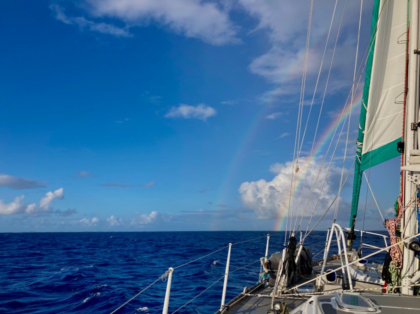
With the light of a new day we were treated to the experience of sailing towards a rainbow.
Shortly afterwards we were introduced to our first atoll in the Tuamotus…Raroia.
More typically a reference to something inappropriate I have just said or done.
However, in this case, crossing the line represented a significant accomplishment of honorable achievement. A monumental leap in our sailing evolution…Neptune’s recognition of our ascension from the ranks of lowly “Pollywog” to noble “Shellback”, having just successfully sailed across the Equator.
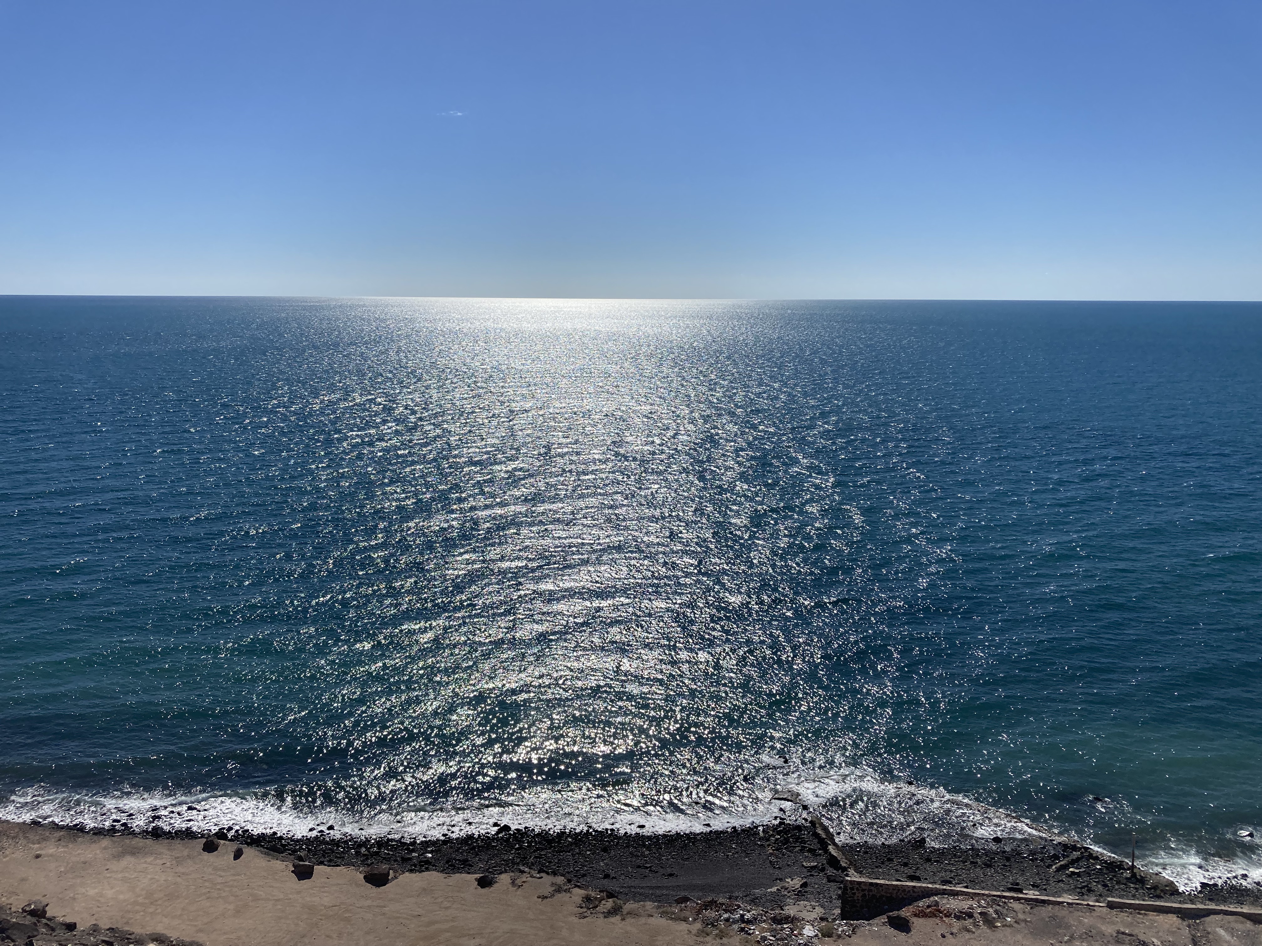
There is a certain feeling of complete isolation aboard a (relatively speaking) tiny boat in the middle of a (by pretty much any standard) damn big ocean.
Nothing but blue in every direction
I was stunned when it occurred to me that the closest people to us were on the International Space Station. It seemed unfathomable as the thought bounced around inside my head; but then again, there’s a lot of space in there as well. Amazing? Well, maybe not really… it sounds quite impressive; but then I found out the Space Station is actually orbiting only about 250 miles above us. Hmmm.
A hundred years ago we would have been in a boat without even electricity, much less the advanced technologies we enjoy. Forced to glean weather information only from what could be seen on the horizon. Dependent solely upon one’s internal expertise and accuracy in celestial navigation and reading archaic paper charts to find your way across a vast ocean while, simultaneously avoiding become one of thousands of shipwrecks, dashed hopelessly upon uncharted reefs, barely submerged rocks, or unseen islands scattered haphazardly in your path.
Here in the twenty first century, on the other hand, we have the luxury of GPS, electronic charts which display our current position in real time, electronic navigation equipment, even autopilot. Different times for sure.
And n0w there is Starlink. Surprisingly, at an altitude of about three hundred fifty miles, the Starlink satellites orbit almost an extra hundred miles above even the International Space Station, supporting what has turned out to be one of the most important technologies we have aboard Exit. Yes, Elon Musk is a disgusting human being and complete piece of shit. He has single-handedly brought back a higher stigma to being a rich, white South African than has existed for forty years and I absolutely despise contributing to his ever-increasing wealth which seems to expand at a rate faster than an exploding supernova. Yet, for us Starlink has been an absolute game changer. It’s not simply about the convenience of getting online anywhere we are on the planet. Ultimately, it’s more about how this technology has exponentially increased our safety.
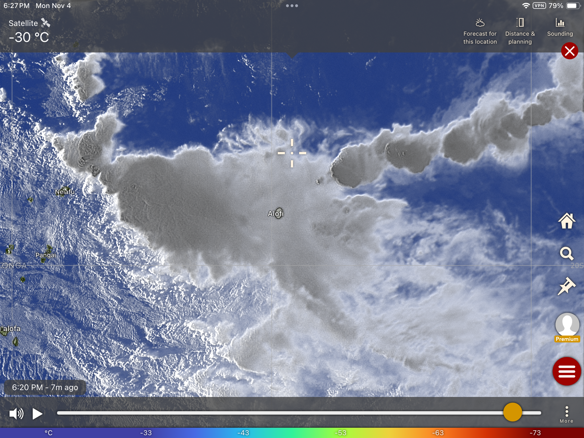
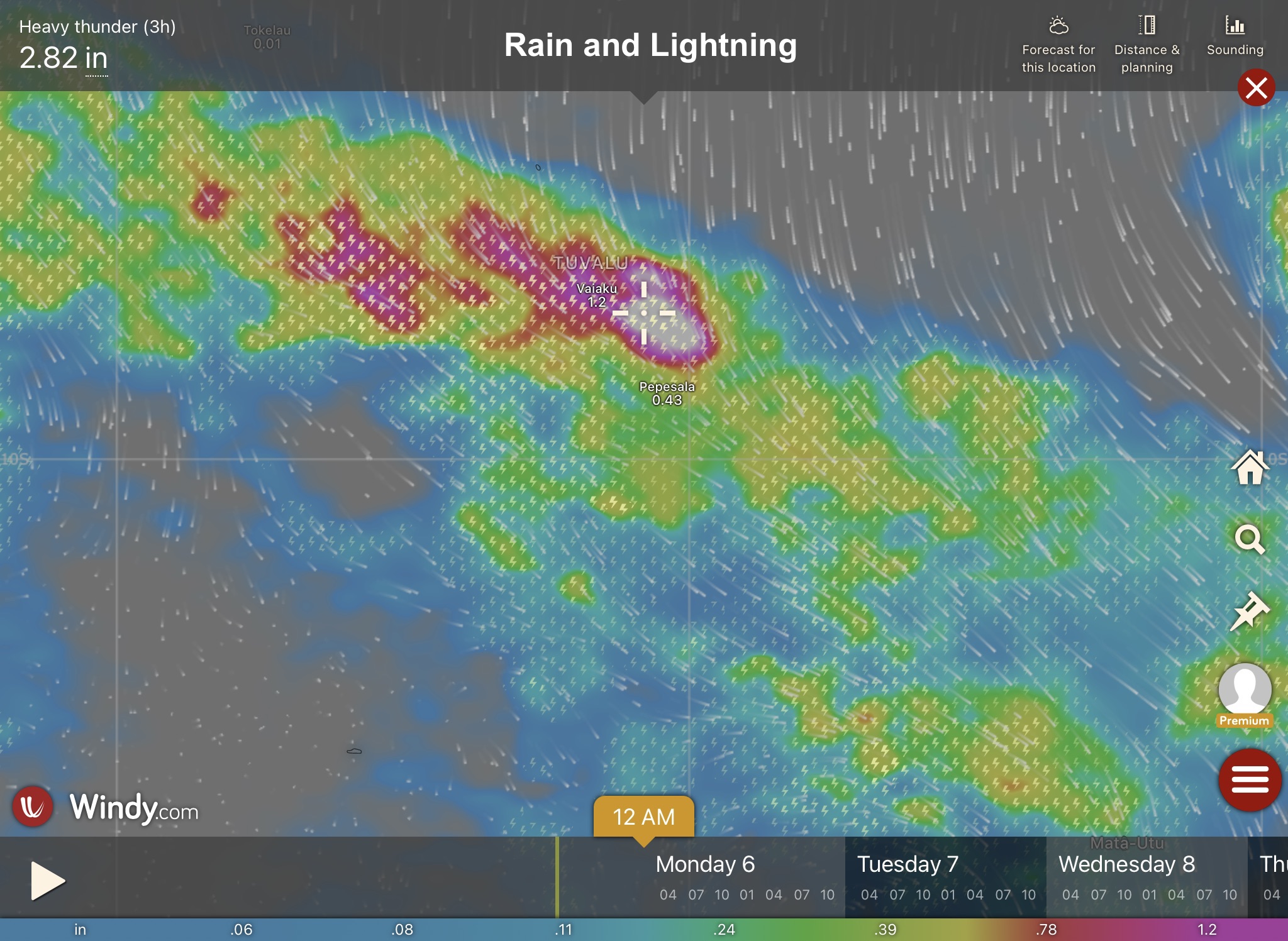
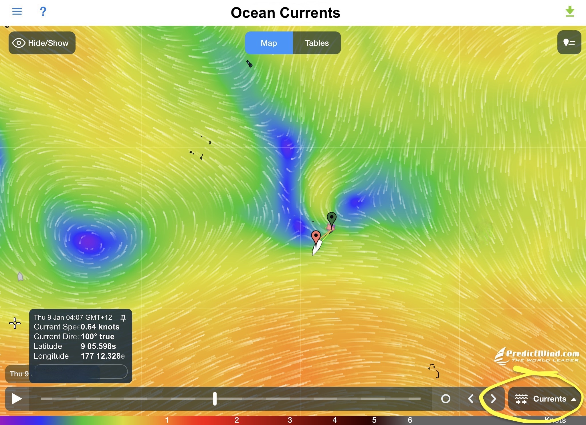
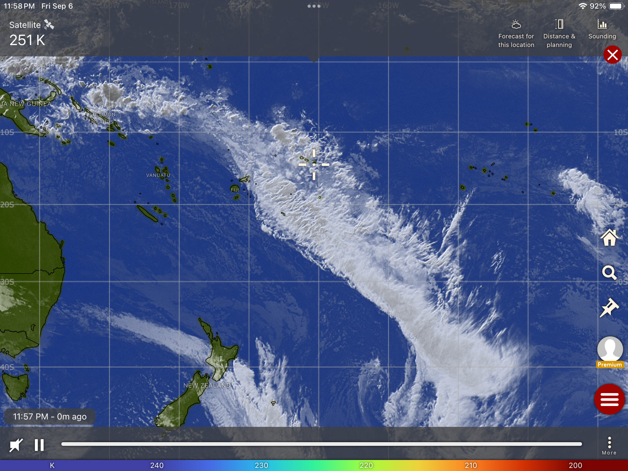
Even a thousand miles from the nearest anchorage, with Starlink we are able to instantly access numerous sources of weather data and forecasts which are updated multiple times each day. These can be forecasts of wind direction and wind speed, both sustained and gusts; forecasted ocean currents; forecasted rain and lightning; forecasted wave height and interval; tidal times and heights; NOAA weather warnings and hurricane/cyclone tracking; even real-time satellite imagery of clouds and precipitation (which distinctly reveal squalls and storms that forecasts may have missed).
The limitations of having this information only at our current location, which our on-board sensors and instruments provide (or twenty four miles out in the case of our radar aboard), are obvious. On the other hand, more complete, more accurate, and more current information over an unlimited range of distance not only make us undeniably safer, but also lead to higher levels of confidence and success in our decision making ability.
This makes an enormous difference in being able to judge and strategize departures and arrivals at certain locations, avoid squalls while underway, make adjustments to our trajectory to accommodate changes in weather along the way, as well as just sleeping better having made better decisions with more complete information.
Communicating with friends and family; chatting with other boats in real time; surfing the Internet for news – all icing on the cake. Of course, there always has to be an awareness regarding power consumption…underway we limit how often we turn it on.
In the end, the truth remains that despite possessing the best and most scientifically determined forecasting information in the world, it is still exactly that – a forecast. Not a schedule or itinerary. Sometimes Mother Nature just says “Fuck you, your forecast is flat wrong”.
And though, your departures, arrivals, and chosen headings (especially for shorter distances) may have been optimized, when you’re in the middle of nowhere, thousands of miles from anything, days or weeks into a passage with days or weeks to go before you have any other option than keeping going, the fact is you just get what you get and deal with it. There’s no time outs, do-overs, or restarts.
Approaching the Equator we had been more than lucky in avoiding all but a few squalls which had knocked us about a bit, but had turned out much less significant than they could have been.
For nearly two weeks straight, after losing sight of the Mexican coast behind us, we had propelled ourselves forward utilizing nothing more than the power of the wind in our sails. Only six hours of motoring and three hundred thirty hours of sailing. One thousand four hundred nautical miles. We were pretty proud of that.
But as we approached the ITCZ (Intertropical Convergence Zone), things had changed drastically. We had few options. Sitting around in calm water patiently awaiting a breeze that would inevitably fill our sails once again had sounded good during the planning stages. After all, we were on no time schedule.
However, sitting uncomfortably in a rolling swell hoping ominous black clouds that announced the potential arrival of torrential downpours and fierce gusting winds would keep a respectful distance was seeming less and less like a smart strategy. Furthermore, the very real possibility that those clouds also could harbor and unleash terrifying barrages of lightning seeking out electrical conduits to transfer their millions of volts of electricity to the Earth made the idea seem even dumber, especially with our sixty foot metal mast being the only thing higher than the waves for hundreds of miles in any direction.
With that reality firmly taking hold in our psyches, we had realized compromise was in order…screw the ideological purity of zero fuel consumption and get the fuck across the Equator.
For four days in a row, over the course of five hundred nautical miles, we motorsailed forty three of the one hundred hours.
But now we were on the verge of reaching the Equator. Not long after midnight on May 16, we had crossed the first parallel north, placing us sixty nautical miles above the Equator Line. So close.
We continued on our southern heading. As the sun broke above the horizon line heralding the dawn of another day, we had halved the distance…barely more than thirty minutes of latitude remained.
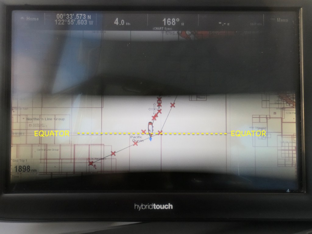
Exit’s chart plotter display
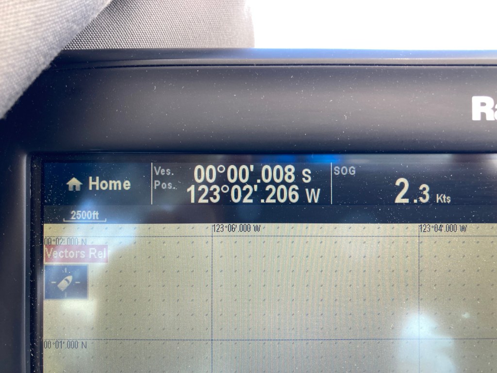
By 3pm, the GPS coordinates on our chart plotter were displaying “0” degrees and “0” minutes of Latitude North, ticking down the final hundredths of seconds towards zero. As we scanned the water in front of Exit, seeing no large sign nor visible line we joked that the Equator itself seemed quite ambiguous and wondered exactly how the moment would have been realized prior to the invention of GPS. Maybe there used to be a sign back then…
Crossing the Equator…the moment when Latitude North becomes Latitude South.
Maritime tradition dictates that sailing across the Equatorial line results in a sailor transforming from a “Polywog” to a “Shellback”…a sailing achievement of great significance. Though we did not go so far, which some do, as to don costumes and participate in a massive production including an initiation ceremony administered by other “Shellbacks” (alas, we are the only two people aboard our noble vessel), we did celebrate the event with a proclamation to King Neptune as well as an offering of precious Kraken rum.
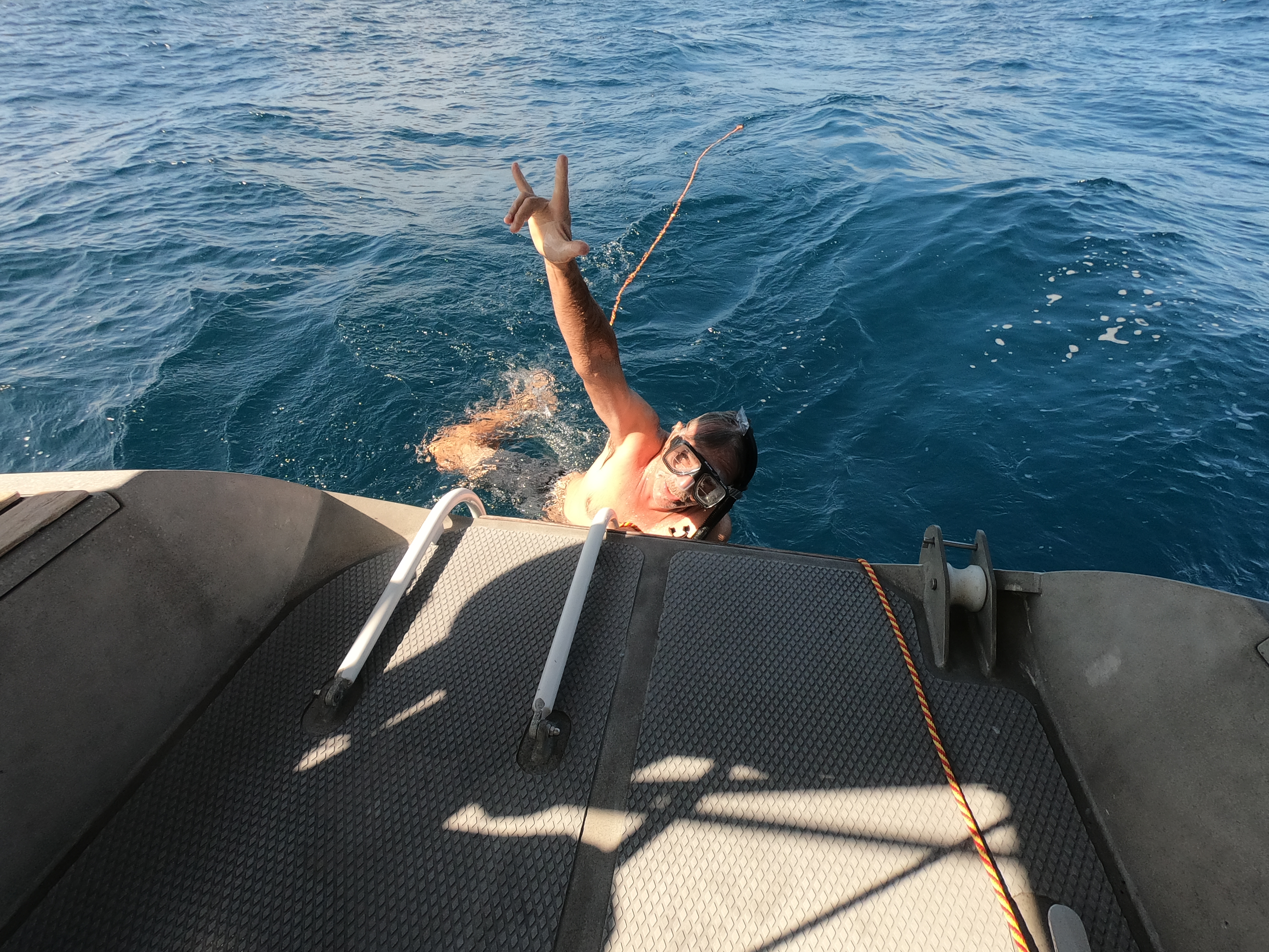
This was followed by a baptism swim in the Pacific Ocean, where we each swam across the Equator, ten thousand feet of water below us, followed by a toast with our own shots of Kraken rum in celebration of our transformation from “Polywog” to “Shellback”.
Momentarily, for a split second, the latitude coordinates read “00°00′.000”.
Then, for the first time in three weeks, since we had picked up anchor at La Ventana in Mexico on April 25, the chart plotter coordinate numbers began to increase again. What made that even stranger was the fact that we were still on a southern heading. The difference was there was now a “S” after those latitude coordinates instead of a “N”.
Nothing else seemed different. But we felt different. We were now “Shellbacks”.
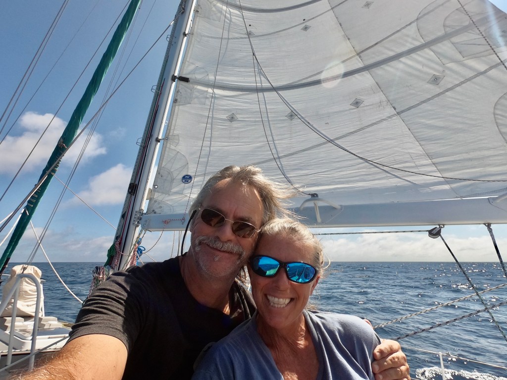
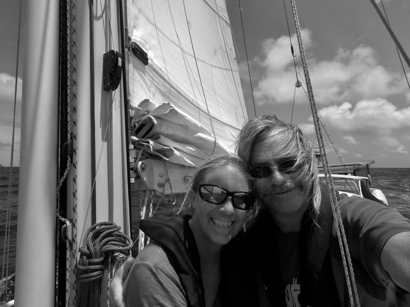
A couple of salty Shellbacks
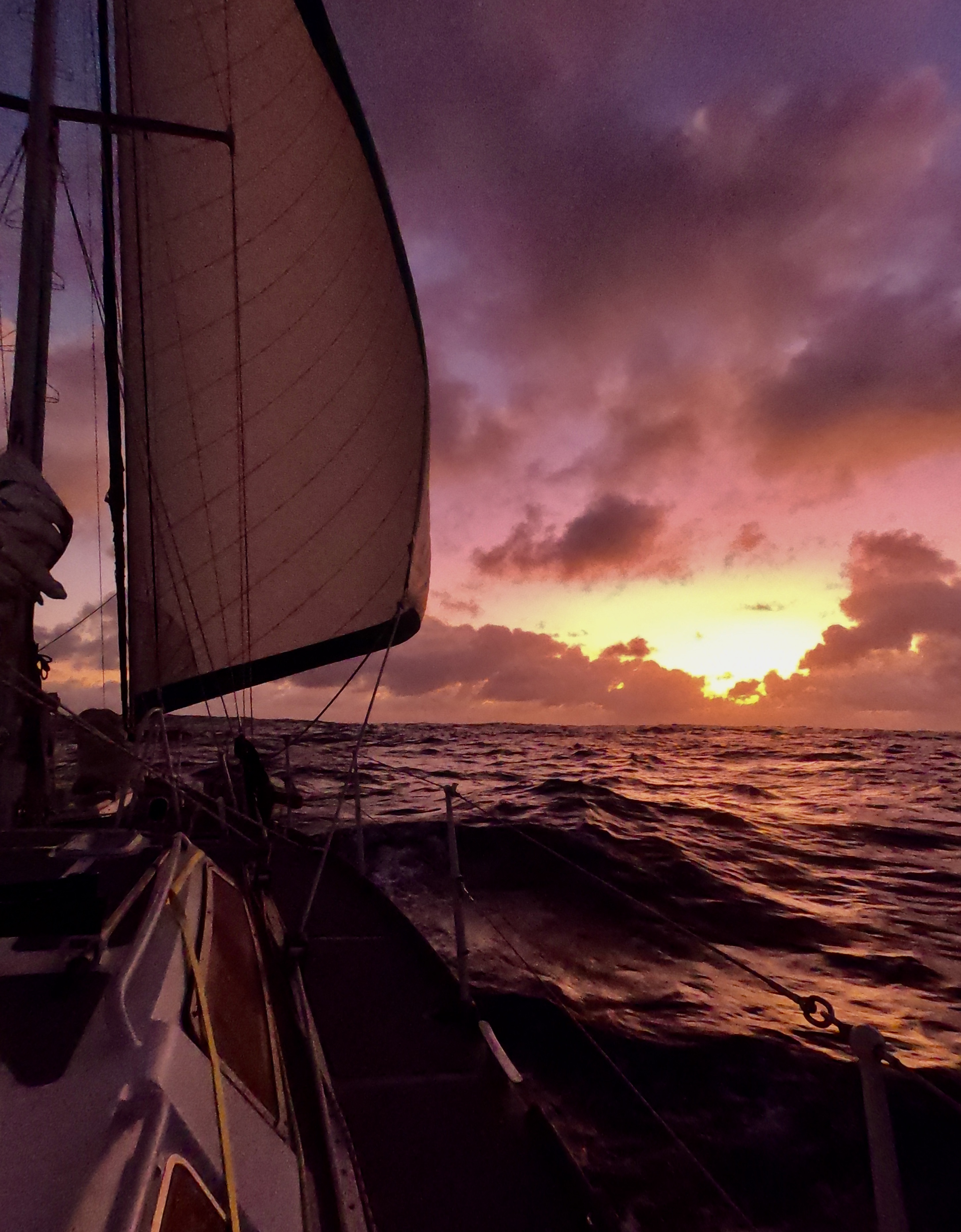
That evening King Neptune gifted us perfect sailing conditions and Mother Nature painted a brilliant sunset for us to enjoy as we continued our journey into the Southern Hemisphere.
The following morning we had to fire up the Perkins engine yet again; however, it would constitute the final six hours we would need the diesel for propulsion until we were lowering our sails as we made landfall ten days later in French Polynesia.
That afternoon, on our twentieth day at sea, we sailed past the two thousand nautical mile mark during this voyage. Twenty hours later we had another brief celebration as we realized we had just surpassed nineteen thousand nautical miles traveled aboard Exit in total during the previous seven years.
Over the following days, we began to notice a significant change in the conditions. The ominous dark clouds which had threatened us continuously for the previous week began to give way to more and more blue skies. The currents, with which we had been relentlessly struggling, now seemed to be working in our favor. The overall sea state just felt more benign…more cooperative.
That’s not to say that Murphy didn’t have something to say about things. Eventually, he spoke up and reminded us of his law.
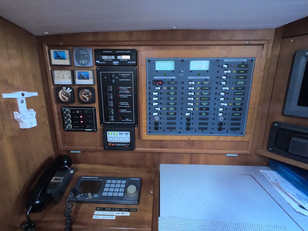
After twenty four days of nearly 24/7 operation, our electronic autopilot, who goes by the (usually) affectionate name of Jeeves, decided he had had enough and demanded a night off. This was at 21:12, at night of course, as it often is. The biggest problem with Jeeves is that he gives us no notice that he is taking time off. The first indication we get is a shrill panic-inducing alarm that announces no one is steering the boat any longer…holy shit! Even with someone in the cockpit, there is a moment of frenzy as the person on watch makes a desperate scramble for the wheel.
If conditions are bad, or we are both momentarily below-decks, this can be a near heart attack inducing event.
Fortunately, this time neither was the case and control was quickly restored without incident. For just such a contingency, we have Schumacher – our backup electronic autopilot. Not nearly as sophisticated as Jeeves, but a solid worker and generally more reliable. Within about five minutes, we had Schumacher rigged up and he was happily in control of the helm.
Shortly after sunrise the following morning we were treated to a double rainbow. Later, in the afternoon, Jeeves was back on duty.
Then, just as it looked like the day would go down in the books as a winner, a squall hit us hard. As we were starting to reef the genoa sail, the furling line somehow ended up slightly tangled against a sharp edge, and within seconds had chafed itself all the way through. Instantly, with no tension on that side, it unfurled out all the way and started flogging madly in the ferocious gusts that had picked up.
There was far too much wind to leave the massive 130% genoa sail out, which would have dangerously overpowered Exit, but there was only about ten feet of furling line remaining – not even close to enough to reach a winch which would be required to get the sail in under these conditions.
In a moment of blind luck, it occurred to me that the anchor windlass at the bow of the boat just might work. I grabbed the windlass remote and rushed to the bow. There was just enough line to wrap around the drum of the windlass. I pressed the remote button, the drum began turning and, lo and behold, the genoa sail began furling in. Whew…crisis averted.
Our heart rates had returned to normal by the time the squall subsided. Eventually, we were able to dig into the aft lazarette, retrieve the old furling line from among the lines we had kept as spares after replacing all the running rigging during our haul out, and re-run it in place of its short-lived replacement.
The following three days were much more uneventful. Just brilliant sailing conditions running at about 130° in mostly eleven to seventeen knot winds, with six to ten foot seas at a comfortable interval, averaging five to seven knots of speed. No squalls. And with the lunar cycle almost reaching a full moon, the nighttime visibility had become much more pleasant. What more could we ask for?
Much more polite than Northern Hemisphere boobies
On our twenty-eighth day at sea, we noted in Exit’s log that we had begun to see many more birds over the past twenty four hours. It could mean only one thing…
“LAND HO!” was the cry late in the afternoon.
It was ‘Ua Huka. French Polynesia. One of the islands that makes up the Marquesas. Not our destination but less than forty miles separated ‘Ua Huka from Nuka Hiva, the island we were going to clear in at. We were almost at the front door.
Land Ho!Following our chart plotter course between the islands of ‘Ua Huka and Nuku Hiva
We brought in the sails a bit and slowed our speed with the intention of arriving at Nuku Hiva just as the sun was rising. Considering how long we had already been at sea on this passage, waiting a few extra hours for the peace of mind of entering an unfamiliar anchorage with the benefit of daylight was a no-brainer.
May 27, as the sun slowly rose, the night’s sky transitioned to a shade of indigo, gradually fading from purple to orange and finally yellow at the horizon. The gentle swells of the Pacific began to appear as the night’s shadows began to give way and contrast with the reflecting light and colors from the sky.
We had just surpassed twenty thousand nautical miles aboard Exit since purchasing her in 2017.
As the new day’s light began to better illuminate the surrounding lush green peaks which comprise Nuku Hiva, we entered Baie de Taioha’e – the bay nestled up against Nuku Hiva’s main town, Taioh’e. We had to clear into French Polynesia, and in the Marquesas Island group, Nuku Hiva was one of two places we could do that.
At 6:45am we dropped anchor.
The passage had taken us twenty nine days, five hours and fifty five minutes.
Three thousand one hundred twenty six nautical miles in total.
We were exhausted both mentally and physically, but we had made it to French Polynesia.
Day thirteen of our twenty nine day passage from Mexico to French Polynesia
April 28 – May 15, 2024
May 15. Thirty minutes before midnight.
In an hour and a half it will be exactly eighteen days since we raised anchor at our last anchorage fifty miles north of Cabo San Lucas, Mexico. We are about to surpass one thousand nine hundred nautical miles traveled on this passage, more than twice the time and distance of any voyage we have undertaken on S/V Exit to date. Though we are almost two-thirds of the way to French Polynesia, we still have over a thousand miles of open ocean and probably at least another ten days before we will see land.
By midnight, we will have reached the latitude line of one degree north, placing us only sixty nautical miles above the Equator.
The nearly three thousand nautical miles of Pacific Ocean between Mexico and the tiny French Polynesian island of Nuku Hiva, which we anticipate to be a three to four week passage aboard our forty seven foot aluminum sailboat, has itself always seemed like a daunting distance.
Factoring in all of the steps leading up to our actual departure, all the events that took place before leaving Mexico, as well as the experiences of the past eighteen days at sea make everything all the more surreal.
While the semantics of thirty degrees of latitude to the south and thirty degrees of longitude to the west may not sound significant, every degree of progress has had to be earned.
The endless preparations required had slowly evolved, bringing us from the pure chaos of facing seemingly impossible odds, given the overall mammoth scale of everything before us, into digestible tasks and small degrees of compartmental success. Eventually, as it became harder to think of things that still needed doing than things that had been already checked off the list, we knew we were close.
The hardest part became not in determining when all tasks had been completed – it’s a boat for fuck sake – but, rather, when we’d finished what needed to be completed.
Strength and safety…no compromise, no excuses. Convenience, luxury, and cosmetics…maybe open to discussion. These are the details that can bankrupt budgets as well as prevent boats from ever even getting back in the water. The endless loop of never ending boatyard projects and/or mistaken priorities.
Having successfully navigated our way through the mine field of Exit’s arduous haul out in Puerto Peñasco, just 40 miles south of the Arizona border, which had optimistically been discussed as an expected sixty or ninety day job but, in reality, stretched out for nearly six months, finally allowed us to relinquish our temporary status as dirt dwellers and sand people (the first words spoken to us as Exit, swinging on the travel lift, was brought into the boat yard’s sand blasting lot was, ‘welcome to Baghdad’). It felt amazing be back in the water.
Exactly one month after splashing Exit in Puerto Peñasco, we found ourselves enjoying a bottle of wine on the beach in one of the bays of Espiritu Santo.
Ironically, it was the same beach on which we had enjoyed a reunion with our old sailing friend Craig from S/V Russula (nearly fifteen months prior. However, he had successfully gotten out of Mexico last season, already crossed the Pacific Ocean, and was currently in New Zealand.
We, on the other hand, had not. But we were now sooooooo close.
Our eminent return to La Paz would provide the opportunity for us to complete our final provisioning preparations needed for our own crossing of the Pacific Ocean.
As every space inside Exit’s lockers became stuffed with supplies and provisions, forecasts were studied looking for weather windows, and plans materialized regarding the logistics of getting to the tip of the Baja peninsula, which also would be a multi-step process.
Stopping just outside La Paz for a final bottom cleaning. Exit’s bottom , that is…
…then fifty miles around the northern point to Punta Arena de La Ventana. This seemed like a particularly fitting closing of the circle as it was the first anchorage we arrived at after departing the Mexico mainland at La Cruz nearly two years earlier…
…one hundred miles more to Frailes – nothing more than an anchorage that would place us less than fifty miles away from Cabo San Lucas and the tip of the Baja peninsula…
…deep breath.
A lot of steps just to reach the starting gate.
We needed a weeks worth of favorable indications offshore before committing to a start. Why a week? Because that’s about as far into the future as the forecasts would be realistically helpful. Beyond that would be a guess.
We’d been studying weather along that route for months. And Kris had accessed a wealth of information from forums and chat groups.
We needed to make our way closer to the tip of the Baja peninsula to be ready for the big leap, while simultaneously being mindful of avoiding the pitfalls of both impatience and indecision.
The longer we delay, hesitating with the indecision of awaiting a “perfect” weather window, the more we consume aboard. We could go a year without running out of canned food; but our fruits and veggies are on a ticking clock.
Conversely, impatience can quickly turn into fuel consumption…something we are now immensely aware of and somewhat nervous regarding. The two hundred thirty gallons of diesel we carry give us about a twelve hundred mile range solely under engine power, which should be more than adequate, as long as we’re not motoring half of the distance to French Polynesia. The more we can sail, the more we save fuel. Duh.
Eventually, the call was made and our official clearing out of Mexico was completed. A bottle of wine and fondue dinner at Vi’dah commemorated our final evening in La Paz, and the following morning at sunrise, Exit pulled up anchor and headed down the channel.
Heading out the channel from La Paz…the newest chapter begins
In a powerful moment of irony, we get a final glimpse of a dozen or more crushed boats, washed up and still stretched along the shoreline, victims of a late hurricane last year that hit while we were hauled out in Puerto Peñasco. In the end, it turned out we had been in each La Paz and Peñasco while the other was being hit harder by the outer bands of a hurricane. Sheer luck. The destroyed sailboat on the beach closest to where we had been anchored was, even more ironically, named Almost Free.
Exit, on the other hand, was finally free.
That evening we enjoyed a stunning sunset in the bay of Caleta Lobos…the precise location we had sat awaiting Hurricane Hillary almost exactly eight months earlier. So much had happened since then; it seemed like a dream now.
Once out of La Paz, we instantly switch to depletion mode. Everything we had stocked up on was now being chipped away at. We had gone through a rigorous process of asking item by item: How much can we fit? How much can we afford?How badly is it needed? How hard will it be to get?
These questions and decisions would be second guessed many times, both before and after our departure.
Initially, it felt like a stumble coming out of the starting gate. Damned if it wasn’t exactly what we’d come to expect, but it seemed we just couldn’t get a break on wind direction and intensity as we tried to make our way towards Cabo.
Testing our new dual headsail option sailing between Bahia de Los Muertos and Frailes
Despite our best efforts and some moments of great sailing, it became apparent that getting past Cabo without any sacrificed diesel was not likely going to be in the cards. Continuing to wait for more favorable sailing conditions with small bits of forward progress would probably just result in us getting completely stalled by a soon to arrive and much more definitive southern wind.
Looking beyond a genuine intent to be more green, we acknowledged that our reluctance to fire up the diesel before we even really got going was maybe more of a symbolic concern for bad omens than concern for actually running out of fuel. Better to bite the bullet, fire up the warp drive, and break free of this seeming gravitational black hole.
At 1:00am on April 28th we picked up anchor at Frailes under only a sliver of moon, and set sail for French Polynesia.
Sunrise on the first day of our Pacific Ocean passage
By 10:00am, the blow to our psyche of having had to run the engine for the previous six hours was offset, mostly, by the soothing silence that followed when we shut down the old Perkins. It would have been even more reassuring and soothing had we known at that moment that it would be ten full days before we would need to call upon the diesel again for propulsion assistance. Sailing good.
By noon we had passed by Cabo San Lucas and cleared the tip of the Baja peninsula. To see land, you had to look back. Outside of the Socorro Islands, which lie four hundred nautical miles in front of us, there would be nothing but ocean on the horizon for almost three thousand miles during the next month.
It would be a lie to say there was not an instant where a tingle of doubt quietly murmured deep inside…a what the fuck are we doing moment.
On a different boat…at a different time of year…with a different person…that feeling may have lingered.
But in another instant, the trepidation was gone. I couldn’t have a better partner. We couldn’t have a better boat. We had planned well and done our homework. I felt more like a fortunate adventurer than a misguided fool. It just took a moment to recognize that.
By sunrise the following morning, any sign of land behind us had disappeared completely.
Over freshly brewed cups of instant coffee that morning, we toasted having surpassed seventeen thousand nautical miles traveled aboard Exit since we purchased and moved aboard her in 2017. The milestone was actually reached during the middle of the night. However, on passage, with twenty four hour watches, nighttime shift changes tend to be more of a quick changing of the guard than a social to-do.
Our initial waypoint we had set was Clarion Island four hundred nautical miles to the southwest of Cabo. In the case of too little or too much wind, we could stop off there briefly. Part of the Socorro Islands, Clarion is uninhabited except for a friendly Mexican military outpost and occasional liveaboard dive boats. If we had good wind, we likely would not want to interrupt the momentum.
As it turned out, we didn’t have good wind. Initially it had been around ten to twelve knots but that had begun to fall off. Still, even with only a six to ten knot breeze, conditions were exceptionally calm and sailing slowly without needing to run the engine was certainly good enough momentum to keep going.
As we approached Clarion Island in the middle of the night on day four, it was an easy decision to make. There seemed very little appeal in waiting seven hours for first light before entering an unfamiliar anchorage; and even though winds were currently light it looked like there would be no improvement for days. Better to keep pressing on with forward progress.
A short time later, when we had to alter course to avoid coming within a mile of a passing cargo ship, we didn’t think too much of it. We were only hundred or so miles off shore and we had been underway for less than two days. When it happened again a week later I certainly raised an eyebrow. More than a thousand miles from anything. Plus, the second time it was just after midnight…a bit freaky. No drama; just occasional reminders to fucking pay attention.
Enjoying another sunset underway
As it would turn out, that six hundred foot cargo ship would be the last occupied vessel we would encounter in the northern hemisphere. However, even stranger was the unoccupied vessel we encountered five days later.
On our twelfth day underway, when a red speck appeared on the horizon, we grabbed the binoculars. It became apparent that it wasn’t a boat, but it seemed to have a sail deployed. We adjusted our own sails and came about, immediately setting a new course to investigate. As we neared, we were a bit stunned to make out what appeared to be a kayak or a SUP with a sail…? A thousand miles seemed more than a bit far out for someone to drift…? Maybe a crazy solo circumnavigating paddler…? WTF? Continuing our approach, we could slowly make out more and more details. It was a SUP-like platform that didn’t appear to have any type of hull or structure below the water; the bright red sail seemed to be attached to some kind of substantial wind vane autopilot. We tracked alongside it and had to laugh when we found a cadre of sea birds had laid claim and taken possession of what was identified on the sail as “Saildrone”.
A subsequent reaching out put us in touch with a very surprised and genuinely appreciative tech at the Saildrone company, who excitedly informed us that the units are contracted and deployed for various oceanic and weather research data gathering tasks but that they never hear back from contacts in the field. Pretty cool…but, come to think of it, yet another of the occasional reminders about fucking paying attention. Sunk by a coxless pair of boobies…hmmmmmm. Not going there…
The earlier reference to birds appearing to have laid claim and taken possession of the Saildrone may seem a bit comedic and/or dramatic…but I shit you not; some of these boobies are not benevolent beings.
First off, in our own defense, we are devoted conservationists and absolute animal advocates. No latent bird issues. We once had a blue-footed booby, a truly regal creature, aboard Exit without incident. Toured the decks, stayed the evening. Lovely chap.
But these boobies are different. Rude. Disrespectful. They fight over who gets to sit at the top of the mast and end up breaking stuff. They shit all over the deck, hatches, sails, solar panels, and isenglass windows. This went on for days. It was brutal. Exit’s log notes on May 4: “Today the Garbanzo Battle was waged and lost on the deck of S/V Exit. They have taken the mast. I fear we may be losing the Great Booby War of the Pacific.” After woefully unsuccessful attempts to dislodge them from the mast with more traditional methods like: yelling and screaming at them, pounding on the shrouds, shaking the back stay, whipping and flicking halyards at them, even running a plastic garbage bag up the flag halyard next to them to try to startle them (a ridiculously inadequate strategy), I brought out my slingshot and proceeded to start eating olives and firing the pits at the top of the mast…fact is, in fifteen knots of wind on a pitching deck I got sick of eating olives without ever making contact. No better luck with dried garbanzo beans either. I gave up before trying to harvest the little glass balls out of liquor bottle pour spouts (great ammunition but that’s a lot of drinkin’ for one bullet —- fifteen shots of liquor per shot of ammunition, literally).
On a side note, Exit undoubtably needs to address its battle readiness, both in the area of ammunition and operational accuracy.
Initial realization we had been boarded by marauders!
First defense attempt: halyard thwacking
Backup plan: send up an obviously un-intimidating plastic garbage bag
Final act of desperation – bring out the artillery
Fortunately, the boobies inexplicably left after a few days. Even more fortunate was the likelihood of rain ahead. It was going to require a deluge or three to clean these decks.
Thankfully, within a couple of days, that rain did arrive and the booby shit which had left a disgusting white-gray-brown-yellow coat of paint on Exit’s mast, sails, and deck was finally unceremoniously cleansed.
Bit of a humorous conversation regarding rainfall…
But be careful of what you ask for.
At anchor, the rain can be inconvenient and even annoying. But underway, it can become relentless and unmerciful. In the middle of the Pacific Ocean, more than thousand miles from anything, it can be more than a little bit intimidating.
A much needed rain as we head towards the ITCZ
Fortunately, this was not a violent squall. The rain beat down for a bit, but we were not pummeled by vicious winds or terrifying lightning strikes. Exit received the thorough shower she needed but not much more than that…this time.
With no more boobies to deal with, I could now return to my daily task of cleaning dead flying fish off the deck without fear of being shit on. Flying fish that inadvertently land on deck and fail to flop back into the water accumulate each night. Occasionally they land near the cockpit and can be offered a helping hand. Others aren’t so lucky. Nothing startles you to full awareness during night watch quite like the loud, wet glop! of a flopping fish on the cockpit’s isenglass window a couple of feet away from your face. Well…ya, actually. Standing up in the cockpit to make a sail adjustment and literally getting slapped on the ass by a flying fish that’s just collided with your butt…that splattering shplop! makes you jump even more. I did get that one back in the water; however, he may have eventually died of embarrassment telling the tale of almost suffocating in a face full of ass!
Since passing by Clarion Island our trajectory had been towards the coordinates of 10N / 120W. This was strategic.
The ITCZ (Inter Tropical Convergence Zone) is a constantly shifting corridor (right now between about 5 degrees latitude north and south of the equator) where the northern hemisphere’s clockwise moving currents and southern hemisphere’s counter-clockwise moving currents converge. Throughout that area, very light winds to no wind at all – the doldrums – are interspersed with very volatile squalls loaded with high winds and sometimes lightning.
The latitude of 10 degrees north placed us just above all that, in a position to better choose a course which would hopefully present itself to us as we approached. The 120 degrees west longitude was accounting for strong westerly currents we were encountering as we approached the ITCZ. The goal was to not get pushed too far west by these currents before getting below the equator.
We had needed to run the Perkins for about six hours to get free of the Mexican coast on our first day. Then, for ten days straight, we used nothing more than sails to propel us towards Nuka Hiva. After two weeks into our journey, we had needed fire up the Perkins for only twelve hours in total. Now, we could see a shift beginning to occur.
A comfortable downwind sail, more on the side of not enough wind than anything, with tolerable swell, began to give way to seas and winds with a bit more snarl to them.
The currents, now one and a half to two knots, relentlessly pulled us in a westerly direction. Even with four knots of boat speed, we were still having to oversteer our heading by twenty to thirty degrees just to prevent ourselves from drifting off course too far west.
As we struggled to reach our ten degree north goal before shooting well past the one hundred twenty degree west target, the Pacific went and bitch-slapped us with our first squall a thousand miles offshore. It was our first real serious rain in a couple of years and, fucking hell, did it come down in buckets. We were already double-reefed and good to go when the thirty two knot winds hit. Still…damn.
After riding that out under sail, we were dismayed to end up having to finally fire up the Perkins later when the winds died completely leaving us in sea conditions which were untenable for just sitting and waiting.
Largely, the days and nights were rather uneventful. But we found ourselves on a roller coaster of emotions. Periods of elation followed by frustration the following hour. Pondering and absorbing the magic of our current adventure only to have thoughts of weather forecasts or course adjustment options creep in, casting a shadow across an otherwise bright moment of introspection. Caught up in the indescribable and glorious colors of another sunset in the middle of an ocean, which itself had just hours before revealed an unfathomable shade of blue reflected from an over ten thousand foot depth. Serenity and colors which could never be adequately captured by even the most imaginative artist…
Another golden hour anticipating what colors the sunset will bring
…only to realize our wind indicator sensor had failed. A significant blow once we determined a trip up the mast would be required before the displays in the cockpit and nav station would once again provide us with wind direction and wind speed data – something that was not going to happen until we reached French Polynesia!
During the next four days we found ourselves having to motor for over forty hours as we battled to get through the ITCZ. At times there was absolutely no wind, but the relentless western drift and lumpy sea state still prevented the option of just sitting and waiting things out. Other times we were beating thirty degrees into fifteen knots of wind from the south.
All the while, every weather forecast indicator told us that we were currently at the greatest risk for heavy lightning and potentially violent squalls, keeping us in a constant state of high alert and concern. Every possibility and scenario was playing out again and again in our heads. Every decision was being second guessed.
Fortunately, we dodged the lightning…but slogged through lots of rain…and lots of threatening black clouds which we attempted to navigate around as much as possible.
Finally squeezing below the latitude five degrees north after two days of sporty conditions, Exit’s logbook notes: The ITCZ…last night was fucking wet…with the sun coming up it looks like Mordor ahead…milk run my ass…just cued up ‘Riders On The Storm’ on the stereo...
DCIM100GOPROGOPR5134.JPG
Before departing Mexico, we had envisioned possible situations of absolutely still air combined with mirror-like flat surface conditions…sit or motor. The doldrums. Like the movies would portray “becalmed”. But motoring into winds, fighting currents, four foot waves coming across the bow…not in the brochure.
The nights were now pitch black. Almost no moon, and clouds that would obscure one if it existed anyway. We kept receiving daily reports of a derelict sailboat that had been spotted adrift three weeks ago within a hundred fifty miles west of our current location. Remnants of a dis-masted and abandoned boat from over a year before. We’d never see it at night even if it was next to us. Fortunately, we knew a drifting boat wasn’t going to get any farther east in the short term to potentially be a threat with these currents…as long as we could stop going west, it wouldn’t be a concern.
On day seventeen we were visited by the first pod of dolphins we had seen since departing Mexico. Our friends stuck around for quite a while doing gymnastic leaps out of the water, surfing down wave faces, and jockeying each other for position bow-riding Exit.
Leaping dolphin
The visit was received as a very good omen. It seemed as though, as we closed the gap between Exit and the equator, every degree of latitude had gotten more and more difficult to push through; each number approaching zero harder and harder to reach. All the while, we relentlessly continued our western drift.
Tenacity and determination eventually helped tip the scale in our favor. As another midnight came and went, ushering in day nineteen of our passage, we watched the numbers on our chart plotter representing the coordinates of our current position flash by until…boom. The number”1” on the latitude reading changed to “0.999”. This placed us only “minutes of latitude” away from the big red line!
The Equator. Less than one hundred nautical miles away.
Translated into sailing speed that means…looks like we may get a visit from King Neptune tomorrow right around happy hour! Woohoo!
When we did arrive at Puerto Peñasco, after our final overnight sail, Exit’s reverse gear had all but died completely. It had been fading for some time. Now, if you engaged reverse and it hadn’t gone into gear after ten seconds, it wasn’t going to happen on this try. Not ideal. Coming through the breakwater into a tightly squeezed port bristling with shrimp boats? Eek! Getting into the boat yard lifting bay? About as stressful as trying to park a truck without a reverse gear or any brakes (oh ya…on a boat…no reverse…no stop!). Absolutely brilliant skills by our coolheaded helmsperson. And yes, the transmission was already on the list of shit to deal with.
Suddenly, we were sitting in a dusty boat yard holding pages and pages of lists of things needing to get done with a clock ticking in the background. Time to get to work.
Lists and lists of things to do
This was our fourth haul out. We expected two months because we had more to do than ever before and that was longer than we had ever hauled out.
Ha! Good luck with that.
As it turned out…
“Mexican Meat Loaf!” became our go-to phrase. As questionable as it sounds without any context, what it referred to was our six month Peñasco and Cabrales Boatyard experience that seemed to revolve around a theme that: no matter what we were talking about, no matter what resources were employed, no matter how much time was spent, no matter how much money was spent, no matter how much care was taken, no matter…anything, no matter…basically two-thirds completion was the best y0u could hope for. And if, somehow through sheer tenacity or dumb fucking luck, something reached completion, it would probably only be two-thirds right. It was a reality that simply continued to exact a relentless price in frustration, stress, and near madness until it was accepted.
You don’t have to like it, but you do have to realize it. To keep our minds intact, we joked don’t be sad, cause two outta three ain’t bad...Mexican Meat Loaf.
The haul out itself…expensive…demoralizing…mentally traumatizing. In so many ways, a brutal and exhausting mindfuck that we should probably seek therapy for. In an equal number of ways, a necessary “put up or shut up”moment that, anywhere else, would have either been ridiculously more expensive or absolutely impossible to accomplish in full.
Working through frustrations and tempering expectations…boat life.
On the hard…starting the process—
Digging in on the transmission repair – which turned into a transmission replacement, which turned into all four motor mounts being replaced, which turned into a transmission dampener replacement, which turned into a transmission flexible coupler replacement, which turned into a dripless prop shaft seal replacement, which turned into a prop shaft tube repair…which almost resulted in a mental breakdown. Sorting out a cracked block in the dinghy outboard. Getting the chain and anchor re-galvanized. Diassembling and doing maintenance on winches and the windlass. On and on and on…
Of course, we attempted to do absolutely as much of everything as was humanly possible. However, there sometimes comes a difficult point where one must come to grips with the fact that some things are simply beyond the scope of one’s ability. Painfully, there also can come difficult points where one must come to grips with the fact that some things are simply beyond the scope of the abilities of the person you have hired.
Trying to distinguish whether someone you barely know has actual expertise or merely misled confidence can be a frustrating, expensive and even dangerous if they do things wrong. If you’re lucky, you realize before things are too deep that, as little as you know, you know that they sure as fuck don’t know. If you’re not so lucky, you may not find out until well later that the professional mechanic failed to adequately tighten the motor mounts or the rigger put standing rigging that holds up the mast back together incorrectly. Then shit can really get interesting.
Sand blasting our aluminum hull had been on the wish list for years but, for various reasons, we had been unable to pull it off. Finally, we had the opportunity to get it done for a reasonable price and we committed. Our hope was to remove the stripes which had become corrosion eyesores and get everything cleaned up nicely on the sides. Our hope was also to minimize the exposure of everything else on the boat to the perverse and rather indiscriminate level of obliteration that can happen on parts you are trying to preserve. We tried to cover and seal up as much as possible in the naive hope that we would not be finding sand in every crevice of Exit for the following year.
The silly and naive concept that the chaos of sandblasting could somehow be contained…
Of course, that concept was quickly replaced by reality as soon as the sandblasting compressor was fired up…
A messy undertaking that turned out to be a two day, two phase project…requiring the “A Team” we had originally requested be brought in.
Far from magic…far from smooth…far from simple…but, in the end, fully worth the effort.
Behold the transformation of a long in the making sand blasting facelift
And, as impressive as the end result was, the aftermath took even longer to sort out than the sandblasting prep and project itself.
Exit looking like it had survived a Sahara Desert sandstorm
When Exit had first moved into the sandblasting lot, an American who had been working on his powerboat in the lot for quite some time had come up to us and declared, “Welcome to Baghdad!”
This now seemed particularly fitting.
As the days turned into weeks, and the weeks became months, we began to feel that we were drowning in never-ending projects. Projects that seemed to take forever to complete, and yet didn’t seem to get us any closer to overall completion.
The multiple faces and roles of getting shit done:
So much of what we were undertaking was uncharted territory. Things we had never delved into. Replacing sea-cocks…sewing a new sail cover or repairing the dinghy chaps.
When we got to projects we had done during previous haul-outs, we could smile. Not because they were fun, but at least we had some sense of what in the hell we were doing. Sanding off old anti-fouling bottom paint only to put on new anti-fouling bottom paint. Never a pleasant project…but at least a familiar one.
On the other hand, our rigging replacement – a mandatory prerequisite for our Pacific Ocean crossing that quickly climbed into a five figure cost – became the one thing that almost broke our spirits and permanently damaged our souls. Complete replacement of all the standing and running rigging, which ended up including refitting our solent stay to be furling, replacing our traveller, sail repairs, boom vang repairs, boom repairs, un-stepping and re-stepping the mast, replacing the VHF/AIS antenna, replacing the steaming light, installing spreader lights, and an endless list of things that went along with the whole process lead to a relationship of necessity with two individuals we hope to never have to interact with again.
Magic…
Re-stepping the mast
But finally, in the end, everything on the rigging list was completed that had to be. It absolutely sucks when you find yourselves in a situation where you have to depend on complete fucking assholes…enough said.
Another perfect encapsulation of our Peñasco existence: our proximity to the border was a prime benefit of our haul out location based upon ease of procuring things from across the border. Imagine how thrilled we were when the U.S. decided to deal with immigration problems by closing the border through most of December…but of course.
Eventually, once the border re-opened, we were able to make more than one road trip to pick up packages of parts, materials, equipment and endless stuff that we needed. More adventures.
Fortunately, the massive task of replacing our entire power distribution panel had been undertaken in La Paz, so that was one of the few jobs already checked off the list before we had even arrived at Peñasco.
Voilá! A new electrical panel
Likewise, the isinglass panels on our dodger, which had become so opaque it was hard to see through them anymore, had also been replaced in La Paz months before.
DCIM100GOPROGOPR4310.JPG
By the time we had reached Puerto Peñasco, the canvas on the dodger was starting to tear out. Our wish to completely replace the dodger with an aluminum structure simply wasn’t going to happen during this haul out. We had already surpassed our budget limit and we were not prepared to risk having to stay even longer at the boatyard trying to sort out such a major undertaking. In the end, we had to settle for replacing the canvas and leaving the aluminum dodger upgrade on the wish list.
Again and again, we had to weigh possible options against the reality of finite time and budget limitations. How important was something? How expensive? How long would it take? How realistic was the project given our current location?
The surreal balance of everything became part of the daily routine of “what the fuck will we experience today?”
Occasional side tracks and diversions occurred…like therapeutic trips to the beach, wanders through the town, minor surgeries with a doctor who spoke no English, dumpster fires outside the boatyard, Christmas in a Mexican desert…
And delays…
And, of course, headaches…
The crane, which we had needed repeatedly to un-step and re-step our mast, became a never ending saga of drama. The diesel engine barely ran. If it did start, the driver had to use a string attached to the linkage to prevent it from accelerating uncontrollably. The transmission barely worked. The tires were worn to the point of exposed internal steel belts and bulges indicating imminent failure. Eventually I became so frustrated with that damn crane that one afternoon, when no one was around, I grabbed some electrical tape and modified the factory name on the front. Two months later when we departed, the improvised “L” that I had added was still there.
Progress… an excruciatingly slow endeavor. Especially at Cabralles Boatyard. As the list of completed tasks finally became longer than the to-do list, we felt the weight of the world begin to incrementally ease up from what seemed to have been slowly crushing us. We were getting close (sandblasting done, bottom painted, mast back up) just as our sanity seemed to be reaching a questionable point of near-breaking…
One of the saving graces of our stay – to be honest, probably the only thing that kept us from killing ourselves, each other, or someone else during the hundred and fifty some days that we were hauled out – was the decision we had made to rent an inexpensive apartment during our stay in Peñasco. Though it increased our overall expenses, it provided a much needed sanctuary to escape the boatyard so we could actually separate from the jobs we had been immersed in all day long. Not only that, it also provided an additional work space that we could spread out in when needed, allowed us to not have to clean up our work space on the boat at the end of every day, gave us a comfortable space to stretch out and relax during our off time…plus it had air con. Whether the temperatures topped a hundred degrees, or it was pouring rain, or another sand blasting had just commenced in the sand blasting lot, the apartment allowed a place of refuge to decompress. The twenty minute walk to and from the apartment each day was generally even a rather pleasant undertaking (except, of course, for the day Kris inadvertently locked herself out of the apartment while hanging up laundry on the balcony and ended up having to walk all the way to the boat yard in bare feet…shit).
Had we been able to get everything done in four to six weeks, it may have been possible to grit it out; but four months was another story. We moved back onto Exit during our fifth month in the boatyard which, if anything, further motivated us to get everything finished.
Amazingly, during the four months we lived in the apartment, we apparently didn’t take a single photo of it.
The only photo was from the balcony taken of some random dude walking down the middle of the road playing his acoustic guitar. Classic. Like Antonio Banderas in Desperado.
Finally, Exit’s move from “Baghdad” back to the main lot was our cue that we were getting close. We packed up everything in the apartment and moved back aboard the boat.
We still were trying to sort out whether to try restoring some version of our stripe, only this time with vinyl.
A local printer told us, “no problema”. The hundred dollar quote for the vinyl signage (both the Exit logo with background arrow and “Garcia” logo) including free installation made us duly skeptical.
And yet, we were impressed with how good it looked once they had finished everything.
Of course, within a couple of weeks – well before we had finished our other tasks – and long before Exit was subjected to any of the hostile elements of the ocean, the sticker began to peel off. Better now than just after we splashed.
Mexican Meat Loaf…
As with everything everything else here, it seemed that this would not be nearly as straightforward as we had initially hoped.
Endless hand sanding to prep the aluminum provided a better surface for the vinyl, which this time was obtained from a supplier in the States, to adhere to.
But even more importantly, the generous expertise of someone who actually really knew what the fuck they were doing provided the magical technique for ultimate success.
Occasional interludes of rest and relaxation punctuated with momentary culinary moments of pure bliss helped to provide some of the few opportunities in which we found ourselves temporarily able to forget all of the stresses and frustrations that we had been experiencing.
And suddenly we found ourselves actually reserving a date on the boat yard calendar for Exit to splash.
Of course, all of this means nothing if you’re dead…
One afternoon, as we were neared our splash date, while Kris was cleaning the dinghy alongside Exit and I was belowdecks, a sports car came racing into the boatyard and skidded to a stop less than ten yards from our boat. Seconds later a pickup truck labeled “POLICIA” on the side roared in behind it. Six guys in tactical gear carrying assault weapons jumped out of the bed of the police pickup and approached the car. The car revved its engine and, laying a trail of rubber with tires screeching, spun around and careened back out past the front gate. The six guys with assault weapons jumped back into the bed of the truck which also whipped around and sped after the fleeing car. Moments later we learned from the boatyard staff that what we had just witnessed was, in fact, the police chasing a cartel gangster who had inadvertently taken a turn into the boatyard not realizing it was a dead end. We had barely avoided being at ground zero of a gunfight that could easily have killed as many bystanders as shooters. The same thing you occasionally see on CNN before saying, “Damn, what shit luck…now that’s the definition of being at the wrong place at the wrong time.”
In this case, it may have just been dumb fucking good luck. Instead of bleeding to death on the cement from gunshot wounds sustained during a Mexican stand-off, we were both able to finish the final must do items on our to-do list…after our heart rates dropped back below that of a hummingbird.
Only a couple of days before our scheduled splash date the travel lift was taken out of commission temporarily. Its tires, bulging in places with tread worn down so far the steel belts were visible, were on the brink of exploding every time the travel lift was moved. Fortunately, the boat yard had sorted out replacement tires. Unfortunately, there was no way the lift could be brought to an actual tire shop that had the specialized equipment to remove the old tires from the rims and mount the new ones, not to mention the fact that this gigantic beast would have been far to big for the tire shop to deal with anyway.
So…how do you replace the tires on a massive travel lift that makes a twenty ton boat seem tiny without proper equipment?
With resourceful and capable staff, shit can actually sometimes get done. The solution was, in a nutshell, the essence of the entire Cabralles Boatyard operation: the reality of limited means vs. the possibilities of imagination. And this was obviously not their first rodeo. With a saws-all to cut the tire into pieces and a forklift to remove what remained from the rim, the crew actually managed to pull it off.
The stuff of liability lawsuits and OSHA fines if you are in the United States…and yet, just another day at work in Mexico (the guy in the red hoodie had a practice of crossing himself whenever these types of maneuvers were attempted).
You have to respect when perseverance and ingenuity get things done.
Though it seemed that the day that would never arrive, it finally did. The glorious morning came that had been long awaited. It was time for Exit to return to where she belonged – the water.
A handful of last minute checks were ticked off before splashing.
The travel lift’s diesel engine coughed, sputtered and after a heart-stopping moment fired up, belching a cloud of black smoke into the air. Lumbering into place, it lifted Exit off of the stands which had been supporting her, backedinto the lifting bay, then lowered us slowly into the water. More checks were quickly made to make sure everything was good, including no water entering the boat, before we slowly motored out of the lifting bay.
For the first time in five months, it felt like we could both smile and breathe fully. We were still tied to the dock next to Cabralles Boatyard, but that was okay.
Finally, outside the Puerto Peñasco harbor, both at anchor and under sail, we could really appreciate our girl in all her glory.
EXIT after splashing
A few days later we found ourselves at anchor enjoying a beautiful happy hour sunset with Exit finally back on the water where she belongs and the Puerto Peñasco haul out now nothing more than just a memory.
And, although we know we will owe a huge apology to our dear spiritual kindred and sailing inspirations James and Dena aboard S/V Cetacea, who may never forgive us, we have to declare…
A vote was unnecessary. After nearly two years in the Sea of Cortez, the opinion was unequivocally unanimous and clear…we were both more than ready to clear out of Mexico.
Granted, there were a lot of challenges during that period to potentially color our overall view, but many were quite circumstantial, and not necessarily typical experiences.
Our unforeseen emergency return to the States immediately after arriving at the Baja peninsula carved nearly four months away from Exit, and created an exceptionally rocky start and stressful cloud of uncertainty right off the bat.
However, the six month span after our November return offered opportunities for some incredible experiences both on water and land. And, despite most of our scuba diving aspirations ending up sabotaged by a combination of seasonal cold water temperature and compressor failure, the marine life around us, especially bigger stuff, was at times still amazing.
After an unforgettable reunion with our dearest and oldest friends from Pullman who came all the way to La Paz for a visit, we headed north in search of moments of sailboat bliss:
Regular interactions with our friends, pods of dolphins, from both the deck of the boat, in the dinghy, or even while out paddling on the SUP, somehow became almost daily experiences. Sea lions, both entire colonies in more known locations as well as the occasional adventurous individual explorer showing up in a random location, offered endless entertainment. Whale interactions, though much less frequent, were among the most magical of encounters of all. Sometimes just a single spout in the distance that a random glance happened to catch. Sometimes one or more whales, tracking alongside Exit while we are underway for hours. Or the rare close encounter from the waterline perspective of a dinghy. All incredible moments.
Dolphins underway between Punta Colorado and Bahia Tembabichi in March:
A short time later, after returning to Isla San Jose, we were treated to a jackpot of experiences in our dinghy over just a three day period.
A whale encounter:
Followed by magical dolphin interactions in crystal clear water two days in a row after that… Holy shit!
March 5 at Isla San Jose
More dolphins the following day:
In addition to a drone launch from the beach at Isla San Jose that resulted in some awesome footage:
In April, just as we were emerging from the channel departing La Paz, we stumbled across whales heading in the same direction as Exit. What a treat.
Large pod of dolphins passing by near Isla del Carmen in April:
Dolphins
Dolphin encounters on the SUP in Bahia de Las Animas in June:
A group of cownose rays at the surface near Santa Rosalia in June:
Dolphins while underway to Agua Verde in August:
A brief close encounter with a whale north of Isla San Francisco in August:
Spectacularly clear water with dolphins underway to Isla Salispuedas in September:
A Mahi Mahi (Dorado) swimming past while underway between Isla Salispuedas and Bahia El Pescador in September:
And, of course, though not as popular in polling results, our personal favorite occupier of the skies – the remarkable pelicans and their aloof, quirky personalities. They provided constant entertainment throughout our stay in Mexico. A shout out to “P”!
Dinghy and land excursions allowed for closer inspection of the bizarre coastal desert geology all around us. Probing numerous islands and spaces along the coastline for new anchorages also made for endless ways to occupy our time.
True, countering the impressive roster of potential wildlife encounters and arroyo explorations loomed the shadow of our constant struggle to anticipate weather issues, interpret forecasts, find sources of accurate information, and ultimately make good decisions of where we needed to be by sundown…or, in some cases, where we shouldn’t be.
Again and again, we found forecasts falling short or even being counterproductive with information contrary to what was actually happening. Local land influences and regional variations skewed everything. Furthermore, alternate anchorages could be far apart, or have similar protection limitations and exposure weaknesses often making improving a bad situation difficult.
Less than ideal or impossible sailing, extra engine use and fuel consumption, uncomfortable anchorages, unnecessary waiting for weather windows, not waiting long enough, enduring poor conditions underway…all potential outcomes of “bad weather information”.
Add the potential for random seasonal events like overnight high wind “chubascos” blowing in and it became easy to see why we were constantly sleeping with one eye open.
The end result always seemed to be a bit of a nerve wracking process trying to gather weather data, followed by stressful indecision and often regretful second guessing.
The times we did better at predicting important details led to increasing confidence in our decisions. Every time we left La Paz and got a bit farther north, we seemed to fair better in the areas we had become more familiar with. Simply having access to internet was a detail that made all the difference.
Only two cell tower areas, Santa Rosalia and Loreto, in the five hundred mile stretch between La Paz in the south and Puerto Peñasco in the north would typically be debilitating for most live aboard sailors (or blissful heaven for some, depending on the perspective of the moment). For us, having Starlink onboard made cell tower proximity irrelevant. Similar to having sails, solar panels, or a watermaker, Starlink has ultimately become yet another tool to help us reduce our dependence on shore supplied resources.
By this time, for us it was not so much about more exploration of the Sea of Cortez. We had done lots of that already. We were so looking forward to our departure across the Pacific Ocean, destination French Polynesia. We were really biding our time, awaiting an extensive haul out which was a mandatory prerequisite for the nearly three thousand mile passage we were preparing to embark upon.
Our lists of tasks to de done went on for pages – engine work, replacing standing and running rigging, major component repairs, upgrades and replacements, sandblasting the hull, bottom paint, canvas repairs, outboard rebuild, dodger overhaul, on….and on…and on…
Cabrales Boatyard in Puerto Peñasco, all the way up at the northern edge of the Sea of Cortez, only an hour drive from the Arizona border, had been decided upon as our haul out location. The third generation business had been operating for an eternity but had only switched its clientele from commercial shrimp boats to private yachts and pleasure craft in the last few years. Growing pains? Uh…ya. Inevitable.
Still, it’s northern location would hopefully offer more peace of mind until hurricane season ended in November, as well as much easier access to US products free from import taxes (and we had lots of things on the list that needed to be shipped) which apparently could be easily shipped to and picked up at the border.
Originally, the intent was to work our way up to Puerto Peñasco and haul out in June. Later we learned June through August was when temperatures in the boatyard exceeded 110-120F. Hardly realistic for doing productive work at all, much less all day. Ouch.
This late developing realization now put us three months further back with extra time to kill.
Our choice to delay the haul out, combined with multiple difficulties we’d experienced around Bahia Los Angeles, as well as a mysterious failure of our dive compressor (which we hoped could be revived in La Paz) all contributed to us being well farther south than we wanted as hurricane season commenced in June…farther south than we really should have been.
When Hurricane Hillary set the Baja Peninsula in her crosshairs in August, it became a razor thin margin that potentially distinguished hurricane hole from hurricane hell. We knew the anchorage at La Paz would likely be a shit show and vowed to stay clear. We considered running north early in the forecasts but ruled out the option based largely on the very real possibility we could move to an even harder hit location. Everywhere seemed so exposed to either wind direction, or swell, or both. We finally settled on Caleta Lobos, just north of La Paz. Small, but hopefully not likely to overcrowd with other boats. More than anything, we hoped to be slightly more shadowed from wind by the land orientation relative to the likely wind trajectory of Hillary.
Caleta Lobos during quieter times
We were wrong about the boat traffic. The night before the hurricane’s projected arrival, eight boats lumbered into the anchorage after dark. It was way too crowded when an unanticipated squall came from an unexpected direction and pandemonium ensued. We were almost sideswiped by a giant mega-twat that nearly ended up on the lee rocks, and had to reverse past us in thirty knot winds and pitch black conditions. Thankfully, seven of the eight boats picked up, and left during the squall. Even better, only one more arrived the next day before Hillary.
It turned out Hillary didn’t plow straight into Mexico, instead sliding up the coastline towards California. But she still left a lot of destruction behind.
It turned out we were right about the land shadow. The wind direction was such that we became huge beneficiaries of the nearly one hundred miles of land mass between Cabo and La Paz, allowing it to absorb or deflect a significant amount of the energy that managed to get through to either side of us.
During our five days at anchor at Caleta Lobos, we never saw winds over the thirties, which was incredibly fortunate. Both north and south of us winds between the forties, fifties and even higher were experienced. Santa Rosalia, one of our favorite stops, was smashed with something like winds in the sixties, plus catastrophic flooding.
Overall, luck was with us and we were unbelievably fortunate. Others not so much so. At the same time, it was another unbelievably stressful SOC (Sea of Cortez) moment.
It became a bit of a trigger moment for us. We had just had a close call with a hurricane. We also had an appointment for a haul out five hundred miles away in less than a month.
Screenshot
Run rabbit…run.
In an apparent season finale, we were treated to three separate encounters while we were underway, churning out mile after mile as we tenaciously pressed north.
One day we watched in amazement as, over the course of hours, numerous juvenile hammerhead sharks swam up to Exit, right at the surface, and then disappeared into the depths.
On another day we were stunned to encounter a family of three adult and two juvenile sperm whales. We saw them repeatedly while we were underway, and it appeared that they were trying to cope with some sort of net or line entanglement. Eventually, while trying to assess the situation, I had the privilege of momentarily being in the water at the surface as the group of five swam past. Absolutely magical.
If that weren’t enough, later in the day, a small pod of adult and juvenile orcas approached Exit. We were fully aware of the reports of belligerent orcas off the coast of Spain sinking boats. Not gonna lie…bit of an anxious moment. But…no. They looked at the rudder. They looked at us. They didn’t try to eat the rudder. They didn’t try to sink the boat. Only mild curiosity. And magic. We were flabbergasted by how long they hung around.
We couldn’t have asked for a much more impressive final show before undertaking what we knew was going to be a painful, though necessary, next endeavor.
Hauling out the boat is rarely something to look forward to. The result is, but the process itself can be a miserable, expensive, traumatic, and painful process.
Kind of like a dentist appointment that lasts for months.
When we did arrive at Puerto Peñasco, after our final overnight sail, Exit’s reverse gear had all but died completely. It had been fading for some time. Now, if you engaged reverse and it hadn’t gone into gear after ten seconds, it wasn’t going to happen on this try. Not ideal. Coming through the breakwater into a tightly squeezed port bristling with shrimp boats? Eek! Getting into the boat yard lifting bay? About as stressful as trying to park a truck without a reverse gear or any brakes (oh ya…on a boat…no reverse…no stop!). Absolutely brilliant skills by our coolheaded helmsperson. And yes, the transmission was already on the list of shit to deal with.
Suddenly, we were sitting in a dusty boat yard holding pages and pages of lists of things needing to get done with a clock ticking in the background. Time to get to work.
Lists and lists of things to do
This was our fourth haul out. We expected two months because we had more to do than ever before and that was longer than we had ever hauled out.
Ha! Good luck with that.
As it turned out…
“Mexican Meat Loaf!” became our go-to phrase. As questionable as it sounds without any context, what it referred to was our six month Peñasco and Cabrales Boatyard experience that seemed to revolve around a theme that: no matter what we were talking about, no matter what resources were employed, no matter how much time was spent, no matter how much money was spent, no matter how much care was taken, no matter…anything, no matter…basically two-thirds completion was the best y0u could hope for. And if, somehow through sheer tenacity or dumb fucking luck, something reached completion, it would probably only be two-thirds right. It was a reality that simply continued to exact a relentless price in frustration, stress, and near madness until it was accepted.
You don’t have to like it, but you do have to realize it. To keep our minds intact, we joked don’t be sad, cause two outta three ain’t bad...Mexican Meat Loaf.
The haul out itself…expensive…demoralizing…mentally traumatizing. In so many ways, a brutal and exhausting mindfuck that we should probably seek therapy for. In an equal number of ways, a necessary “put up or shut up”moment that, anywhere else, would have either been ridiculously more expensive or absolutely impossible to accomplish in full.
Working through frustrations and tempering expectations…boat life.
On the hard…starting the process—
Digging in on the transmission repair – which turned into a transmission replacement, which turned into all four motor mounts being replaced, which turned into a transmission dampener replacement, which turned into a transmission flexible coupler replacement, which turned into a dripless prop shaft seal replacement, which turned into a prop shaft tube repair…which almost resulted in a mental breakdown. Sorting out a cracked block in the dinghy outboard. Getting the chain and anchor re-galvanized. Diassembling and doing maintenance on winches and the windlass. On and on and on…
Of course, we attempted to do absolutely as much of everything as was humanly possible. However, there sometimes comes a difficult point where one must come to grips with the fact that some things are simply beyond the scope of one’s ability. Painfully, there also can come difficult points where one must come to grips with the fact that some things are simply beyond the scope of the abilities of the person you have hired.
Trying to distinguish whether someone you barely know has actual expertise or merely misled confidence can be a frustrating, expensive and even dangerous if they do things wrong. If you’re lucky, you realize before things are too deep that, as little as you know, you know that they sure as fuck don’t know. If you’re not so lucky, you may not find out until well later that the professional mechanic failed to adequately tighten the motor mounts or the rigger put standing rigging that holds up the mast back together incorrectly. Then shit can really get interesting.
Sand blasting our aluminum hull had been on the wish list for years but, for various reasons, we had been unable to pull it off. Finally, we had the opportunity to get it done for a reasonable price and we committed. Our hope was to remove the stripes which had become corrosion eyesores and get everything cleaned up nicely on the sides. Our hope was also to minimize the exposure of everything else on the boat to the perverse and rather indiscriminate level of obliteration that can happen on parts you are trying to preserve. We tried to cover and seal up as much as possible in the naive hope that we would not be finding sand in every crevice of Exit for the following year.
The silly and naive concept that the chaos of sandblasting could somehow be contained…
Of course, that concept was quickly replaced by reality as soon as the sandblasting compressor was fired up…
A messy undertaking that turned out to be a two day, two phase project…requiring the “A Team” we had originally requested be brought in.
Far from magic…far from smooth…far from simple…but, in the end, fully worth the effort.
Behold the transformation of a long in the making sand blasting facelift
And, as impressive as the end result was, the aftermath took even longer to sort out than the sandblasting prep and project itself.
Exit looking like it had survived a Sahara Desert sandstorm
When Exit had first moved into the sandblasting lot, an American who had been working on his powerboat in the lot for quite some time had come up to us and declared, “Welcome to Baghdad!”
This now seemed particularly fitting.
As the days turned into weeks, and the weeks became months, we began to feel that we were drowning in never-ending projects. Projects that seemed to take forever to complete, and yet didn’t seem to get us any closer to overall completion.
The multiple faces and roles of getting shit done:
So much of what we were undertaking was uncharted territory. Things we had never delved into. Replacing sea-cocks…sewing a new sail cover or repairing the dinghy chaps.
When we got to projects we had done during previous haul-outs, we could smile. Not because they were fun, but at least we had some sense of what in the hell we were doing. Sanding off old anti-fouling bottom paint only to put on new anti-fouling bottom paint. Never a pleasant project…but at least a familiar one.
On the other hand, our rigging replacement – a mandatory prerequisite for our Pacific Ocean crossing that quickly climbed into a five figure cost – became the one thing that almost broke our spirits and permanently damaged our souls. Complete replacement of all the standing and running rigging, which ended up including refitting our solent stay to be furling, replacing our traveller, sail repairs, boom vang repairs, boom repairs, un-stepping and re-stepping the mast, replacing the VHF/AIS antenna, replacing the steaming light, installing spreader lights, and an endless list of things that went along with the whole process lead to a relationship of necessity with two individuals we hope to never have to interact with again.
Magic…
Re-stepping the mast
But finally, in the end, everything on the rigging list was completed that had to be. It absolutely sucks when you find yourselves in a situation where you have to depend on complete fucking assholes…enough said.
Another perfect encapsulation of our Peñasco existence: our proximity to the border was a prime benefit of our haul out location based upon ease of procuring things from across the border. Imagine how thrilled we were when the U.S. decided to deal with immigration problems by closing the border through most of December…but of course.
Eventually, once the border re-opened, we were able to make more than one road trip to pick up packages of parts, materials, equipment and endless stuff that we needed. More adventures.
Fortunately, the massive task of replacing our entire power distribution panel had been undertaken in La Paz, so that was one of the few jobs already checked off the list before we had even arrived at Peñasco.
Voilá! A new electrical panel
Likewise, the isinglass panels on our dodger, which had become so opaque it was hard to see through them anymore, had also been replaced in La Paz months before.
DCIM100GOPROGOPR4310.JPG
By the time we had reached Puerto Peñasco, the canvas on the dodger was starting to tear out. Our wish to completely replace the dodger with an aluminum structure simply wasn’t going to happen during this haul out. We had already surpassed our budget limit and we were not prepared to risk having to stay even longer at the boatyard trying to sort out such a major undertaking. In the end, we had to settle for replacing the canvas and leaving the aluminum dodger upgrade on the wish list.
Again and again, we had to weigh possible options against the reality of finite time and budget limitations. How important was something? How expensive? How long would it take? How realistic was the project given our current location?
The surreal balance of everything became part of the daily routine of “what the fuck will we experience today?”
Occasional side tracks and diversions occurred…like therapeutic trips to the beach, wanders through the town, minor surgeries with a doctor who spoke no English, dumpster fires outside the boatyard, Christmas in a Mexican desert…
And delays…
And, of course, headaches…
The crane, which we had needed repeatedly to un-step and re-step our mast, became a never ending saga of drama. The diesel engine barely ran. If it did start, the driver had to use a string attached to the linkage to prevent it from accelerating uncontrollably. The transmission barely worked. The tires were worn to the point of exposed internal steel belts and bulges indicating imminent failure. Eventually I became so frustrated with that damn crane that one afternoon, when no one was around, I grabbed some electrical tape and modified the factory name on the front. Two months later when we departed, the improvised “L” that I had added was still there.
Progress… an excruciatingly slow endeavor. Especially at Cabralles Boatyard. As the list of completed tasks finally became longer than the to-do list, we felt the weight of the world begin to incrementally ease up from what seemed to have been slowly crushing us. We were getting close (sandblasting done, bottom painted, mast back up) just as our sanity seemed to be reaching a questionable point of near-breaking…
Finally being moved from Baghdad back to the main lot…
We still were trying to sort out whether to try restoring some version of our stripe, only this time with vinyl.
We were told by a local printer, “no problema”. The hundred dollar quote for the vinyl signage (both the Exit logo with background arrow and “Garcia” logo) including free installation made us duly skeptical.
And yet, we were impressed with how good it looked once they had finished everything.
Unfortunately, within a couple of weeks – well before we had finished our other tasks – and long before Exit was subjected to any of the hostile elements of the ocean, the sticker began to peel off. Better now than just after we splashed.
Mexican Meat Loaf…
As with everything everything else here, it seemed that this would not be nearly as straightforward as we had initially hoped.
Endless hand sanding to prep the aluminum provided a better surface for the vinyl, which this time was obtained from a supplier in the States, to adhere to.
But even more importantly, the generous expertise of someone who actually really knew what the fuck they were doing provided the magical technique for ultimate success.
Occasional interludes of rest and relaxation punctuated with momentary culinary moments of pure bliss helped to provide some of the few opportunities in which we found ourselves temporarily able to forget all of the stresses and frustrations that we had been experiencing.
And suddenly we were actually scheduling a date on the calendar for Exit to splash.
Of course, all of this means nothing if you’re dead.
One afternoon, as we were neared our splash date, while Kris was cleaning the dinghy alongside Exit and I was belowdecks, a sports car came racing into the boatyard and skidded to a stop less than ten yards from our boat. Seconds later a pickup truck labeled “POLICIA” on the side roared in behind it. Six guys in tactical gear carrying assault weapons jumped out of the bed of the police pickup and approached the car. The car revved its engine and, laying a trail of rubber with tires screeching, spun around and careened back out past the front gate. The six guys with assault weapons jumped back into the bed of the truck which also whipped around and sped after the fleeing car. Moments later we learned from the boatyard staff that what we had just witnessed was, in fact, the police chasing a cartel gangster who had inadvertently taken a turn into the boatyard not realizing it was a dead end. We had barely avoided being at ground zero of a gunfight that could easily have killed as many bystanders as shooters. The same thing you occasionally see on CNN before saying, “Holy shit, what dumb fucking luck…now that’s being at the wrong place at the wrong time.”
Fortunately, instead of bleeding to death on the cement from gunshot wounds sustained during a Mexican stand-off, we were both able to finish the final must do items on our to-do list.
Though it seemed that the day that would never arrive, it was finally time for Exit to return to where she belongs. In the water.
The moments before splashing and just after…
Cabralles Boatyard in a nutshell – the reality of limited resources vs. the possibilities of imagination. When the staff (and the boat owner) are resourceful, shit can actually sometimes get done.
Case in point: how to replace the massive tires on the travel lift without proper equipment… the stuff of liability lawsuits and OSHA fines if you are in the United States…and yet, just another day at work in Mexico (the guy in the red hoodie had a practice of crossing himself whenever these maneuvers were attempted). You have to respect when perseverance and ingenuity get things done.
For the first time in five months, it felt like we could both smile and breathe fully. We were still tied to the dock next to Cabralles Boatyard, but that was okay.
Finally, outside the Puerto Peñasco harbor, both at anchor and under sail, we could really appreciate our girl in all her glory.
EXIT after splashing
A few days later we found ourselves at anchor enjoying a beautiful happy hour sunset with Exit finally back on the water where she belongs and the Puerto Peñasco haul out now nothing more than just a memory.
And, although we know we will now owe a huge apology to our dear sailing spiritual kindred and inspirations James and Dena aboard S/V Cetacea, who may never forgive us, we have to declare…
Sometimes it’s prudent to follow an established trail. I had been reminded of this only days before when I nearly lanced my foot.
But sometimes even the path least traveled still contains too many footprints.
Although both Punta Colorada and Puerto Salinas were identified in our charts as known anchorages, we couldn’t help but notice a lot of space between those two points that remained unconfirmed.
Our immediate reward for picking up anchor? A brief visit by always inquisitive dolphins to see what we are up to.
With good light from above and clear, calm water we felt much more confident about probing closer along the shoreline in the Mothership to look for an alternate spot to anchor.
All the while creeping along at a snail’s pace, with eyes at the bow able to spot anything ten feet below the water, we inched our way into a completely sand covered area free of any obstructions or rocks that offered great holding.
A new spot discovered, even further off the beaten path.
After we dropped anchor, yet another family of dolphins passed by offering a welcome to the new neighborhood.
Later, when we launched the drone from ashore, we got a much better sense of the coastline. It appeared we had chosen our location well.
From the clifftop perspective offered by the drone, it quickly became apparent how tricky the shoreline could be to navigate. Just beyond the location we had dropped anchor were a cluster of rocks that were no where to be found on our charts and yet, were very visible at low tide. Those same rocks would be a foot underwater at high tide.
While the cliffside view from a distance provided quite a dramatic scene, ashore we found it to be even more fascinating.
Layers upon layers of different materials provided visual clues to a timeline spanning millions of years; a geological storybook told in a language far beyond our understanding. Some formed momentarily from molten rock during volcanic episodes…some the result of constantly shifting and buckling tectonic plates…some carved by relentless wind and waves. An amazing variety of different colors, lines, shapes and textures mixed together.
And interspersed throughout were huge sections of what could only be fossilized ocean bed. Massive areas of rock encased with tons of shells.
A small beach hidden in a nearby bay provided the land access for a shore excursion.
The bay turned out to be a runout point for a dry riverbed which seemed both ironic, given the utter lack of rain in the area, and amazing given the visual evidence as to how much water had actually been required to carve through all the solid rock, form the eventual pathways, and move the substantial debris that became scattered all around over time.
“Playa Arroyo Blanco” was what a sign set back a bit from the shoreline said.
It looked like a full-on tourist placard. Kind of an obscurely placed, thoroughly sun worn, cleverly crafted information display randomly provided by the park service.
However, it also appeared to be the sole evidence of any visitors whatsoever.
Made sense…I guess.
Further and further inland was where we found ourselves being led by the winding desert riverbed. Around each bend we were stunned by the variety of landscape. Unfathomable forces had been harnessed by nature to cut the very riverbed we stood in out of the mountainside. Evidence of the scope of that power was all around us.
Dry riverbed trail
Eventually, we reached a horseshoe shaped ravine that reached up thirty or forty feet above us.
Sheer rock walls had been sculpted into surreal shapes and forms by what had to have been enormous volumes of water at one time.
It was easy to imagine the water cascading from point to point, creating what had to be an absolutely epic waterfall; and yet impossible to fully comprehend the energy required to excavate wear away all that rock.
Fully intent on avoiding any rock-climbing mishaps, we agreed this marked our turnaround point. But what a finale.
Less than a couple of miles from the cliffside anchorage we had discovered was another spot we tried out for a bit. A number of small caves and unique white stone formations lining the shore had caught our attention.
Our new caveside anchorage.
After locating a clear sandy patch to drop anchor, we were able to take to the dinghy for a bit of a reconnaissance mission.
In true comic fashion, somehow the same recurring scene seems to play out like Groundhog Day as we approach unfamiliar and possibly questionable areas in the dinghy.
Steve’s attention is inevitably captured by some proverbial shiny object. Kris immediately recognizes this attraction while simultaneously recognizing a potential need for restraint.
In this case, the shiny object is a dark cave.
Kris’ audible response to Steve’s unspoken thought, “Ooooooo, what’s that?”
At this point, it’s a fifty-fifty split.
Sometimes ya gotta just dip your toe in the water. But you also have to know when it’s the right time to do it.
With a bit of swell or waves, a momentarily stalled dinghy engine, and a few bad decisions, it would be easy to see how things could go south quickly. Instead, we were fortunate to have nearly flat conditions on this day.
A different beach landing on a different day provided access for another excursion.
Immediately inland, the beach quickly established itself as another arroyo – a huge, dry riverbed carved over millennia by what seemed like now non-existent storm runoff.
In places the dry river bed seemed to be nearly as well established as a fully developed road. Yet, evidence of the phenomenal volumes of water during storm flash floods and the remnants of the chaos that would have created our surroundings were all around us.
As the riverbed continued, our surroundings were both desolate and amazing.
Working our way up the ravine, we found each turn revealed a different landscape. As our surroundings morphed from scene to scene, I joked to Kris that, had we been watching a movie, I would have criticized the set designer as being a unrealistically over the top.
And, then…all of a sudden…in the middle of absolutely fucking no where…we stumbled across a structure. WTF?
A cement wall built across the ravine in a completely random place. Like a dam. Only now, completely back-filled with earth. Strange.
We pressed on, but it seemed even more eerie now.
In the footsteps of an explorer
One of those times when it begins to occur to you that, again, if you were watching a movie, the music would be building and something dramatic would be about to happen. This would be the time to turn back…
We had read about big horn sheep being introduced to the island forty some years ago as part of an experiment to revive a once native population in the area. Over time it had morphed into a holiday retreat location for rich American big game hunters which apparently helped sustain the program.
The skeleton we stumbled across both seemed to confirm the story as well as provide another nearly cliche prop for our non-existent movie set. It also made us wonder if the bizarre cement wall we had seen earlier was, in fact, a dam for some sort of drinking water reservoir.
Mysteries to ponder…
The trail just kept going and going, winding its way further inland.
Wide open expanses of gravel covered riverbed scattered with cactus and brush choked into rocky gullies and channels, all displaying the deeply carved remnants of long gone violent river turbulence, relentless currents, and countless waterfalls.
Over and over again we came across seemingly incongruent environments. A deeply carved riverbed in the middle of the desert. Rock cliffs and boulders embedded with shells a hundred feet above sea level and a quarter mile inland from the shore. A manmade cement wall tucked in a random gully. Strange and distinctly different shapes, patterns, colors, and materials everywhere. Volcanic seizures, seismic activity, long term changes in sea levels, hurricane winds and rains, desert parching — all pitching in to create this bizarre and strange landscape.
We could have continued walking all day. While it appeared the terrain was beginning to open up more and more as we worked our way higher and higher in elevation, numerous peaks and valleys in every direction made it impossible to tell exactly which direction the riverbed would follow.
We had shoes on…but that hardly qualified us as well enough equipped to justify continuing on a day trip through the desert.
The final over-the-top culmination of our cliche non-existent “spaghetti western” movie set had to be nothing other than a tarantula crawling across the dry riverbed.
For Kris, this was a game ender.
A real, live tarantula
To Kris’ further dismay, I had to see it as yet another video moment…
Over a number of days, we learned that our newly discovered anchorage was primarily a fair weather haven. Any wind from the east or south made things untenable quickly, and even a mild wrap-around swell coming around either side of the island could create very sloppy conditions.
Deep water swells shallowed quickly as they reached the rocky shoreline. Waves bouncing off the cliffside ricocheted backwards, and the completely different timing and angle of these reflecting waves could result in a quite uncomfortable, rolling and inconsistent surface chop.
In the right conditions, our newly found anchorage was a private oasis. In less than ideal conditions, we were best off finding an alternate location.
Punta Colorada, five miles to the south offered a bit more protection, as did Punta Perico, five miles to the north on the opposite side of Puerto Salinas.
After a brief return to Punta Colorada, we resumed a counter-clockwise direction around the island, opting to jump past Puerto Salinas, which already had a number of boats at anchor, bringing us to Punta Perico.
We had seen the big horn sheep skeleton earlier during our hike up the riverbed.
Coyly, I now joked to Kris that this ridge looked like a prime location for mountain goats.
Looking at a literal goat trail leading up the ridge
Kris’ reply was something along the lines of, enough with the fucking wildlife…first burros, now goats.
Hmmmm…
Sometimes you just gotta rub it in. Sometimes you’d best keep ya’mouth shut.
We never made it to the top of that ridge that the big horn sheep trekked over, but we did make it part way up.
And, regardless of our location, we can almost always count on yet another stunning sunset to bring the day and happy hour to a dramatic close.
Isla Carmen sunset from Punta Perico
We were also beginning to realize our dolphin encounters recently were becoming as consistently memorable as our sunsets.
While at anchor at Punta Perico, we were privileged to have one of those encounters while we were in the dinghy right next to Exit with a rather large and ridiculously active group of dolphins. We noticed something smaller seemed to be swimming a bit erratically next to one of the other dolphins.
As the dolphin approached us, we realized it was a mother accompanied by a baby! We gave them space, but the mother dolphin obviously felt comfortable enough to visibly herd and direct the baby towards us a number of times.
Holy shit.
The baby sometimes appeared to be still working out the whole swimming and breathing thing, awkwardly bobbing its head above water and occasionally resting on the mother’s back for support. It may have been not more than a few days old. Very visible stripes on the baby’s side, remnants from the time it spent folded up in the mother’s womb we later learned, apparently remain for up to six months.
Unbelievable.
Baby dolphin viewing Exit in the background
We had spent nearly three weeks at Isla Carmen. Strange how, as the days and weeks turn into months and years aboard Exit, many of the islands we visit begin to blend together when it comes to recollections. Some however, like Isla Carmen, stand out distinctly as unique and particularly memorable.
While the seventy degree water temperature has kept us out of the water the entire time, the intriguing landscape has repeatedly enticed us to wander into the desert. Not our typical modus operandi.
Incredible hikes.
Amazing views.
A baby dolphin in the wild.
Wow.
After departing Punta Perico, instead of continuing our counterclockwise direction, we returned to our cliffside anchorage.
360 degree view at anchor looking both forward and aft
And yet, even with all of the exploration and excitement, Kris still managed to find time for one of her favorite pastimes…cooking. I say that already flinching in anticipation from the well deserved smack I am about to receive.
Circumstances were aligning for us to experience what we had heard referred to as the La Paz boomerang effect.
Sunset that evening, a finale of colors, once again proved spectacular.
Only two days earlier, ten minutes after sunset, the colors of twilight could have been painted by the mind’s eye of an entirely different though equally brilliant artist.
An overnight stop at Caleta Nopolo. We didn’t actually go ashore, but two things caught our eye from the cockpit.
One, we had read about. Just inside the entrance of the small cave along the shore we could see the remains of an old dugout canoe. Apparently over a hundred years old, it belonged to the man who founded the nearby village.
The second, had actually been a running joke for months.
Ever since arriving in the Gulf of California, I had joked that the landscape around us appeared to hold the perfect terrain for spotting burros. This had degenerated into an ongoing spoof with Kris almost every time I looked through the binoculars…
“Enough with the stupid fucking burros…”, was all I’d get from Kris any more. The joke had obviously run its course.
How sweet it was as I quietly scanned the hillside with the binoculars to have my eyes come to rest upon not one but — I shit you not — four burros.
I now joke that I fully expect to see the fossilized skull of a pterodactyl embedded in the rocks somewhere, but I’m not really holding my breath for that one.
Arriving at Los Gatos anchorage
Not quite thirty miles further up the coast lies Bahia Los Gatos, named for a family of pumas that used to live in the area.
Again, we didn’t go ashore. Just an overnight stop.
Nevertheless, within about five minutes of shutting off our engine after setting the anchor at Los Gatos, a local fisherman motored up.
His name was Rudolfo; a nice guy. Three meals worth of fresh fish? Filleted on the spot? Five bucks.
The third day started off looking like it would be a brilliant sail all the way to Isla Carmen, forty or so miles away.
Anticipating light winds, we had already rigged up the solent sail.
We even put up the main sail before lifting anchor. It had been a long time since that had happened. A short time later we were underway, with the engine off, moving solely under the power of the wind with our solent and main sails.
We had reefed the mainsail at anchor. Seemed like overkill at the time, but we were grateful when the winds kicked up later almost without warning.
Rounding a point near Agua Verde, the display on our wind indicator showed upwards of thirty knots (it was even higher that that factoring that, at the time, our boat speed sensor was not working which skewed the reading).
The relentless wind and depth variations at the point created waves and chop that nearly stopped our forward progress entirely. It quickly became obvious that continuing to bash into this would be stupid.
We cut our losses and turned Exit around. Better to sacrifice some time and diesel rather than potentially something more serious or permanent.
Arriving at Bahia Rancho Santa Marta after seven and a half hours and thirty one nautical miles. Incidentally, Bahia Rancho Santa Marta is only about ten miles north of our previous anchorage Los Gatos. The extra twenty one miles was spent arguing with wind, waves, inaccurate forecasts, and bad luck.
Ironically, the conditions were completely becalmed as we rolled into the bay. So it goes.
A dejected arrival after a rejected journey
The following day we knew we had made the correct decision. We might still end up motoring but at least it wouldn’t be into thirty knot winds.
Our original plan had been to have a nice sleep-in followed by relaxing Valentine’s Day at anchor after waking up at Isla Carmen.
Shit happens.
Valentine’s Day underway. Not a bad alternative. The final stretch on the way to Isla Carmen. No sporty conditions today. No winds at all…at least to begin with.
As it turned out, Poseidon and Mother Nature had gotten together in advance and formulated a gift for us to commemorate our fortieth Valentine’s Day we were celebrating together.
Before too long a slight breeze had appeared; and suddenly, for the third day in a row, we were sailing. Holy shit! Neither of us could even recall that ever happening, much less when it was. If we weren’t careful, someone could mistake us for sailors.
Forty Valentine’s Days together
Not only did we have a fabulous third day in a row of sailing (redemption from the frustrating previous day), we also ended up at what might as well have been our own private island in a bay we had all to ourselves…Punta Colorada on Isla Carmen – Parque Nacional Bahia de Loreto.
Happy Valentine’s Day to us.
The following day we still had a private bay…although that was short-lived. You’ve gotta enjoy it while you can.
Inevitably, others would follow.
Which is not necessarily a problem…as long as they followed the non-snugglers’ protocol.
Even someone else’s sailboat can enhance a beautiful sunset.
And while an overcast, cloudy day may not contribute to jaw-dropping colorful photos, it certainly can make for a more pleasant hiking conditions.
Whale jaw bone on the beach
Looking down into the anchorage at Punta Colorado on Isla Carmen
Hiking off-trail has its risks. Those risks can even be enhanced, especially when you are ill-equipped… say, with uhhhh, $14.95 cheapo shoes.
Stepping across a small gully of rocks, I managed to land squarely on a stick that was poking straight up.
Official medical condition: Arbolus pentetratus
There was a momentary panic of uncertainty.
The stick was not small. It had definitely penetrated clear through the sole of my shoe. I had felt it had pass through my foot. We were not an insignificant distance from the dinghy; even farther from Exit.
Assessing a possible emergency medical extraction
Only one way to find out how bad the situation really was.
It wasn’t a piece of re-bar stuck through my head or an arrow in my chest…
Facing away from me, Kris placed my foot between her knees and took hold of the stick. No countdown. No instructions to breathe out.
Just a quick jerk. Solid. No hesitation. Well done.
I expected a lot more pain. Kris threw the stick aside and said there was no blood.
Gingerly I pulled off my shoe; then my sock.
Amazingly, the stick had gone straight through the gap right at the base between my big toe and the next toe over. A glancing blow off both toes that would cause some painful bruising, but nothing more.
Luuuuuuucky. A potentially really messy situation averted by less than an inch. I was immediately demoted from trailblazer.
We have witnessed some truly spectacular sunsets and sunrises aboard Exit. It’s impossible to capture the intensity, colors, and sheer impact of something that covers the entire sky in an image.
You can try to convey the magic of the moment, but it always seems to fall short of the actual experience.