April 12 – May 21, 2022
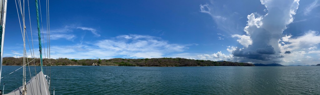
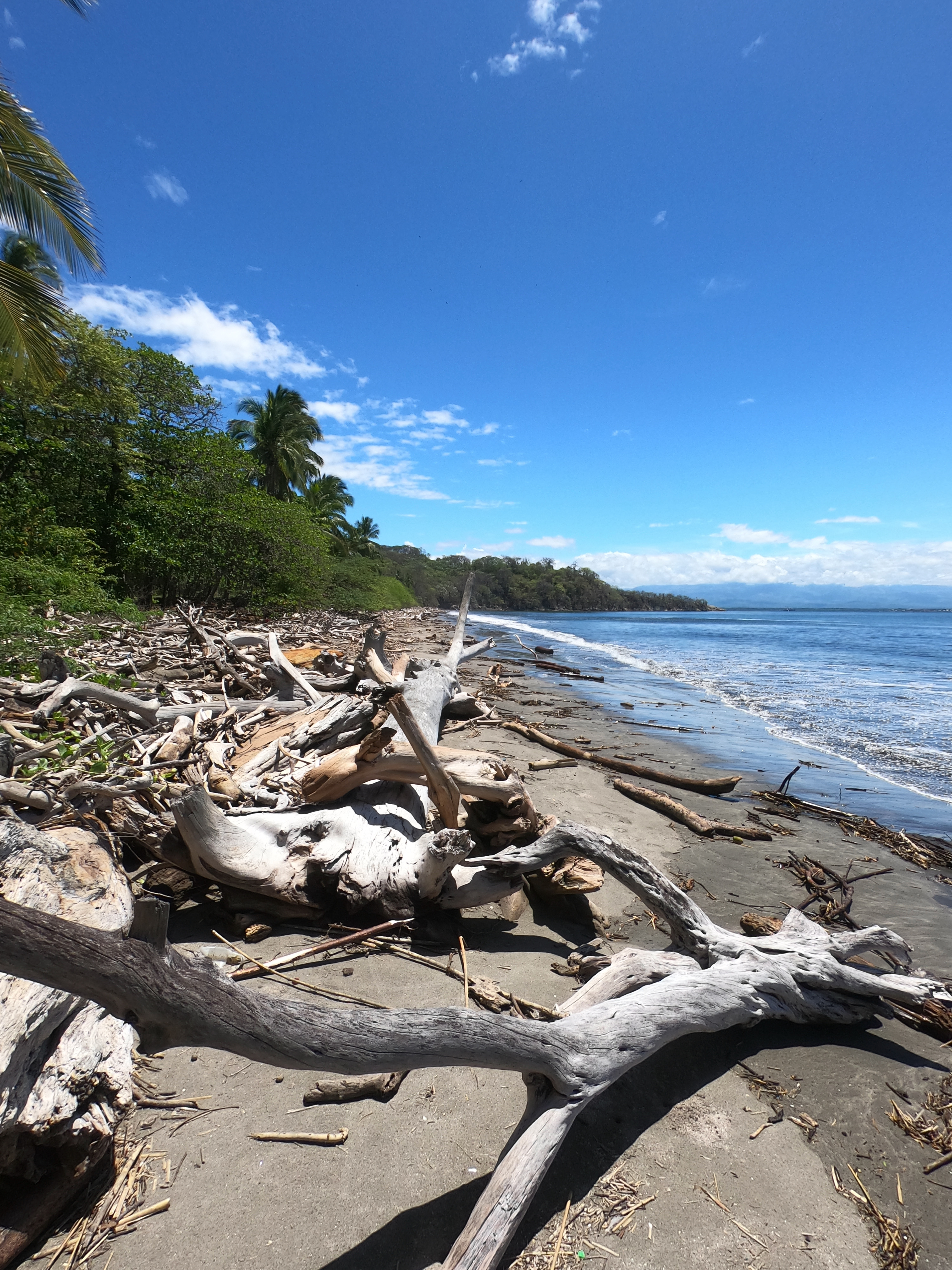
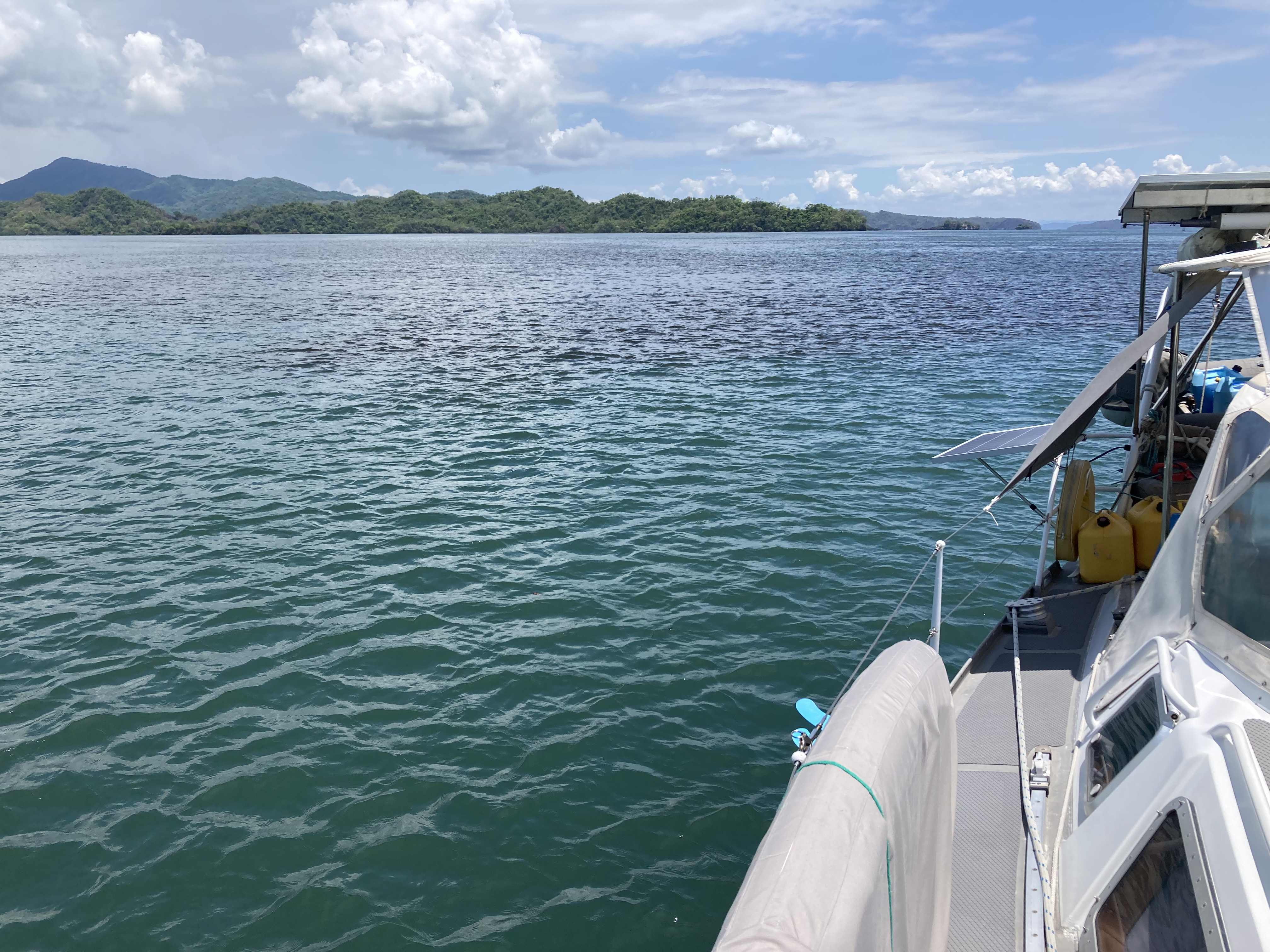
After departing Bahia Drake, we split the sixty nautical miles we needed to travel north to Quepos in two by stopping for a night at Punta Dominical – another spot along the Costa Rica coast popular with surfers. We were learning very quickly that beaches ripe for surfing were often horrible beaches for dinghy landings. No going ashore, but still a nice anchorage to chill out at for a night.
The following day we made for an anchorage near Manuel Antonio, three miles south of Quepos, which we had to visit on order to be issued a new national zarpe.
Though the international clearing in / clearing out procedures were not necessarily that much more complicated or expensive than other places we had visited, Costa Rica introduced us to national zarpes. International zarpes, by comparison, we had dealt with. This official document issued by the country you are departing declares your next port of call. It is often asked for when you first arrive in a new country. If an authority of a country you are entering doesn’t ask for your zarpe it’s no big deal. But if they ask for one you don’t have, all kinds of problems can arise.
National zarpes seemed effectively the same but were required when moving between states or regions within the country.
They didn’t necessarily charge for these, but the process to get them could take the better part of a day to sort out or may require taxi rides to various official offices that often were not conveniently in close proximity to one another. A trip ashore was required to get the zarpe before departing, it had to be during limited office hours or business days, and sometimes included time restrictions. A destination had to be put on the zarpe. Copies of our own documentation had to be provided. Only certain places could issue them or be listed on them. Furthermore, the procedures, processes, and locations had to be sorted out each time. Overall, a giant pain in the ass for us with no clear benefit or necessity that we could fathom.
We had declared Quepos as our destination departing Golfito. We were told it was commonly used. To us, this meant a procedure the Quepos authorities would be more familiar with, thereby making it simpler. Especially with language limitations, trying to complete an obscure government procedure at a location that is not already very familiar with that procedure can be a nightmare.
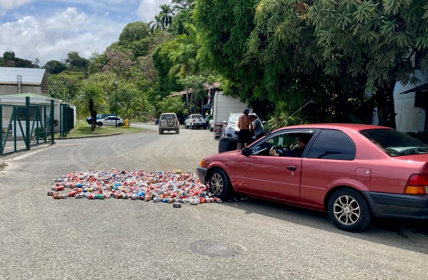
Obviously, the marina just outside Quepos had decided to take full advantage of anyone not staying at the marina who needed to use their dinghy dock. Thirty five bucks just to tie up! Bastards. They took even more advantage of those choosing to stay at the marina charging boats a daily rate of two dollars and fifty cents a foot – for us that would have been over a hundred dollars a night.
Since the only alternative was a beach landing at the anchorage followed by a round trip taxi ride that would cost close to fifty dollars, we chose a bouncy dinghy ride the three miles to the marina and tied up for the day, adding a provisioning run in town and filling our jerry cans with diesel to try to help offset the marina charge for tying up our dinghy to their dock.
The town of Quepos was pleasant enough to visit, and the process of receiving a new national zarpe there turned out more inconvenient than painful.
However, at the end of the day, the three mile dinghy ride back to the anchorage was choppy, uncomfortable, and wet. The wind had kicked up, causing the waves to respond in kind. Loaded down with jerry cans now full of diesel and bags of provisions, we had no prayer of getting the dinghy up on a plane. Not pleasant at all. Downright fucking sloppy even.
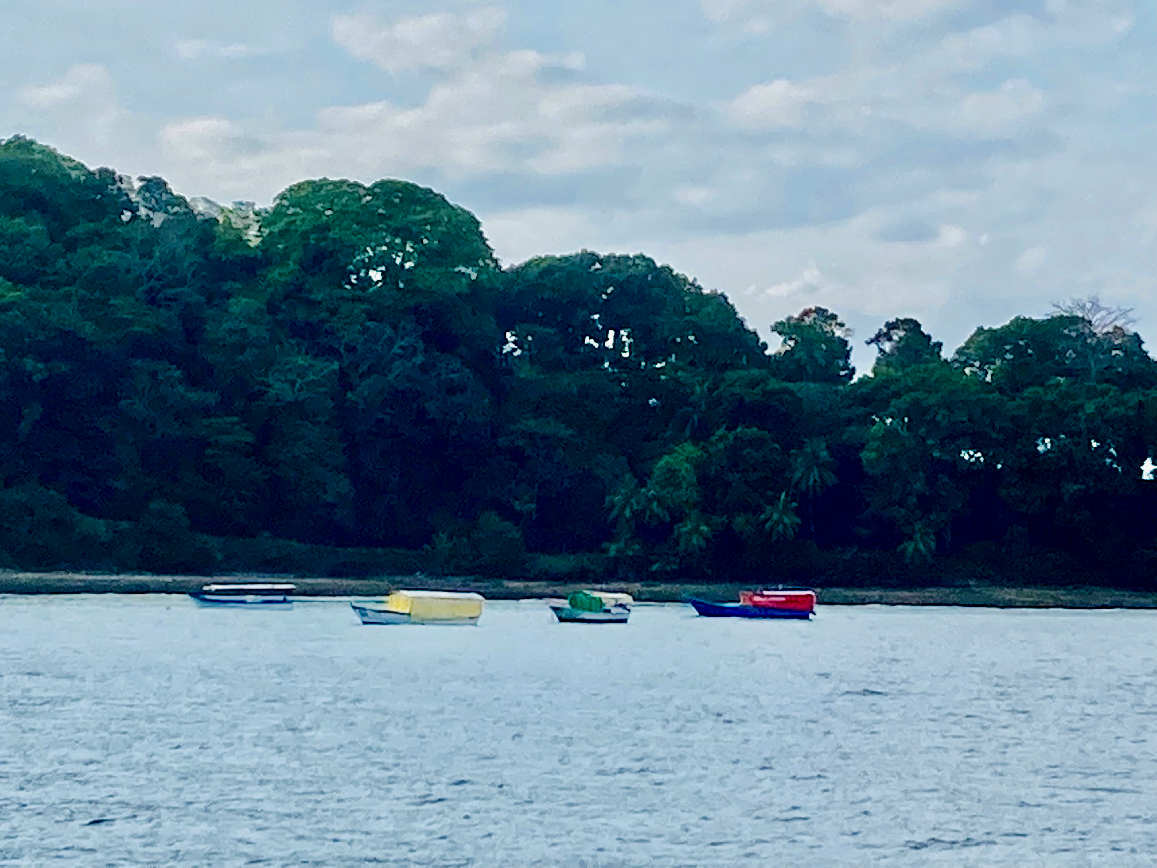
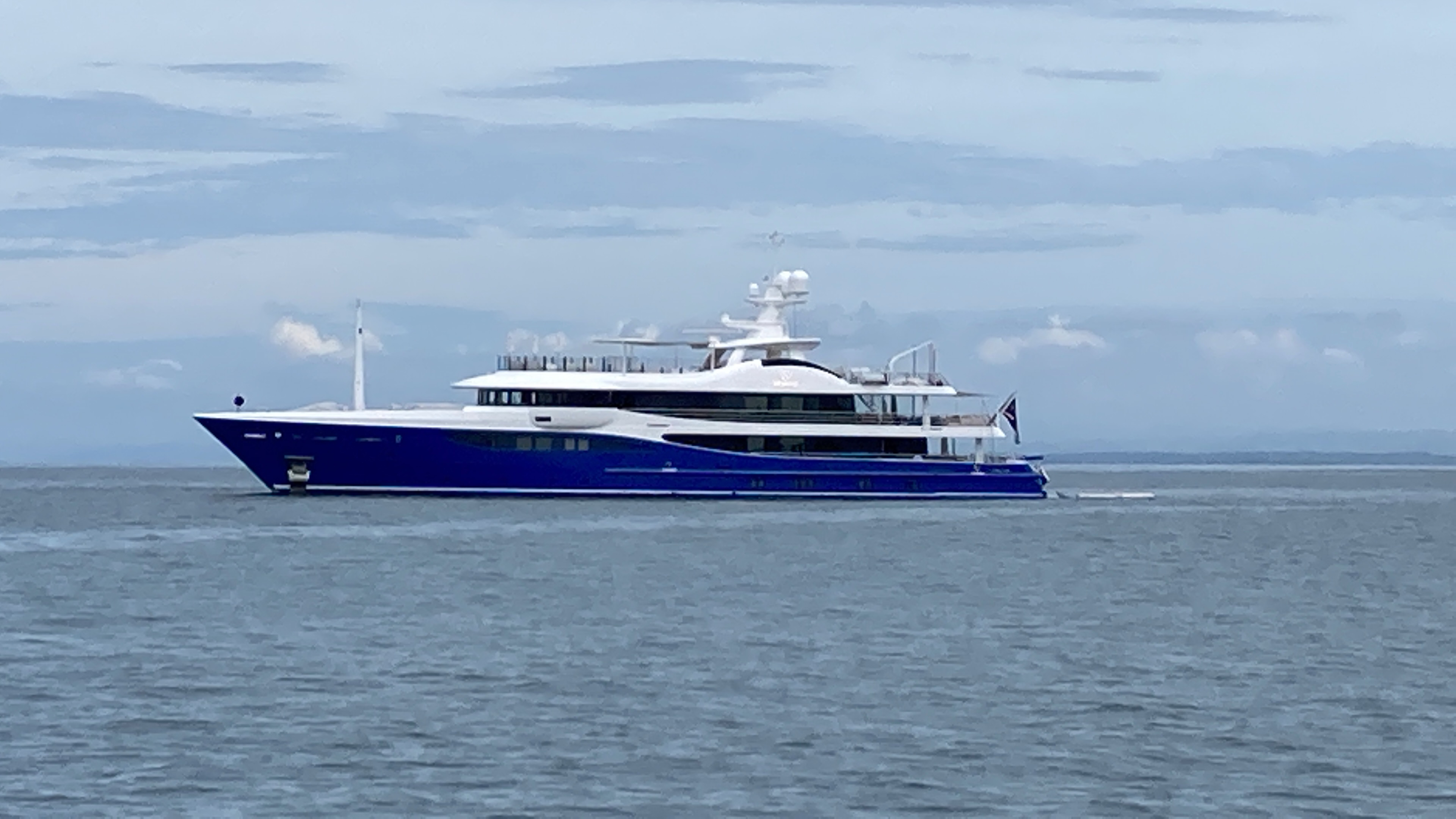
The anchorage itself, though nice enough, was subject to a lot of panga traffic with an endless supply of tourists during the day, as well as seeming to unfortunately be a popular spot for mega-twats (mega yachts) to anchor at. However, the swell was what eventually drove us onward. One night, we endured the most ridiculous swell movement we had ever experienced, and a lack of any wind at all made using a swell bridle ineffective. It appears we may have to sort out a flopper stopper to cope with this in the not too distant future as we’re apparently still quite gun-shy about using a stern anchor after our first fiasco.

All in all, it had taken us five days to sort out everything we needed to before we could move on. Once we were ready, we were gone first thing the following morning.

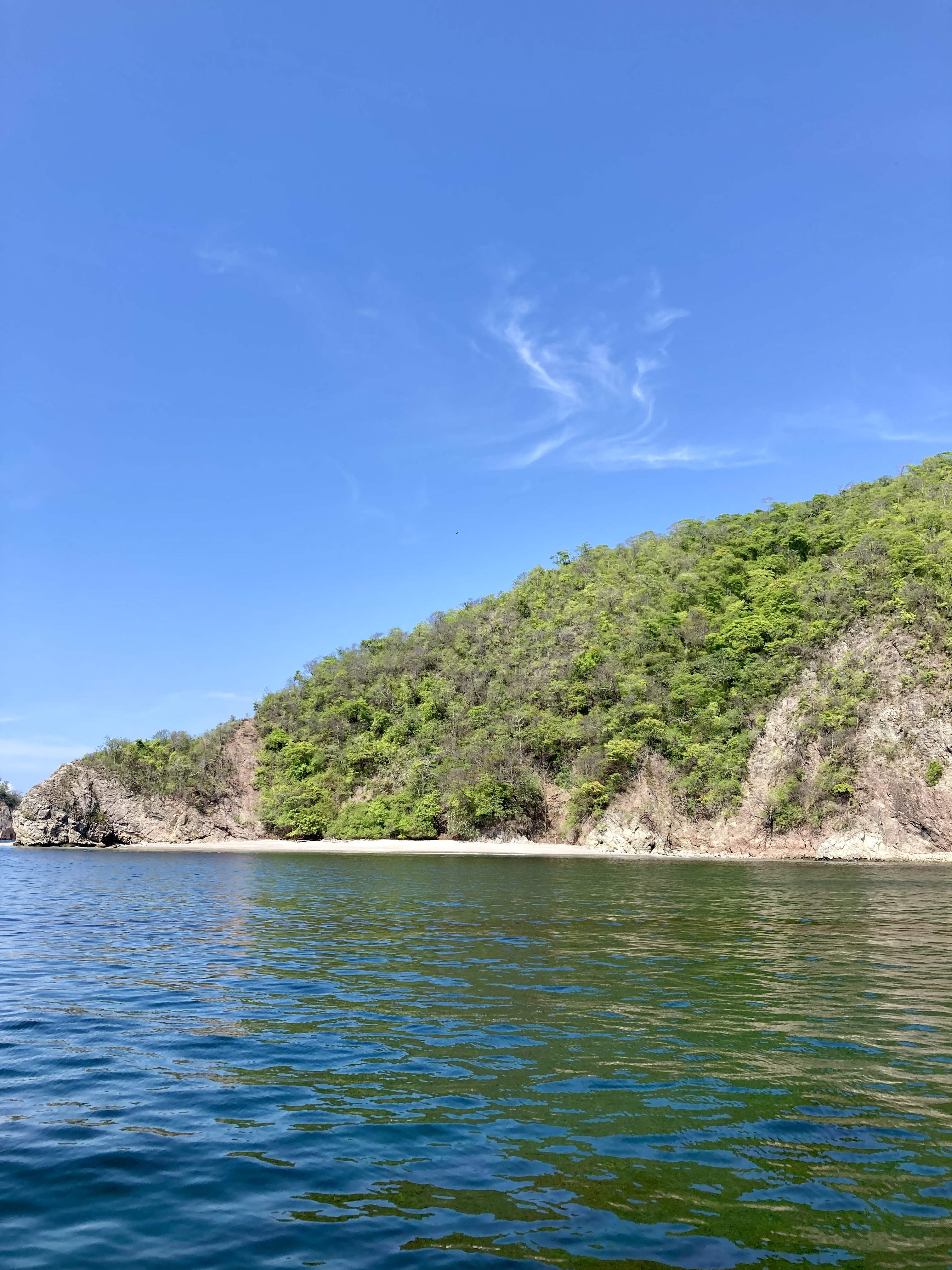

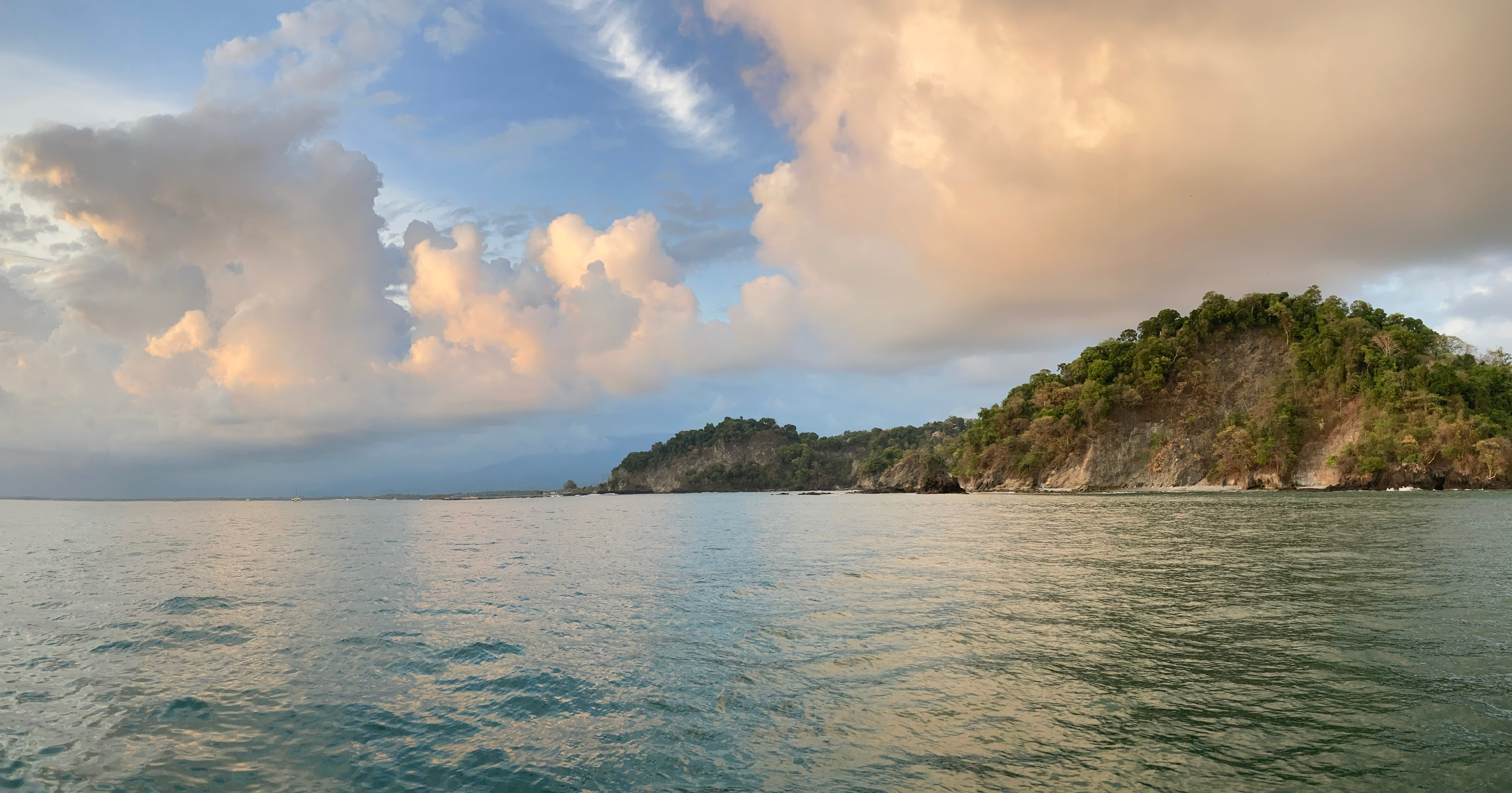
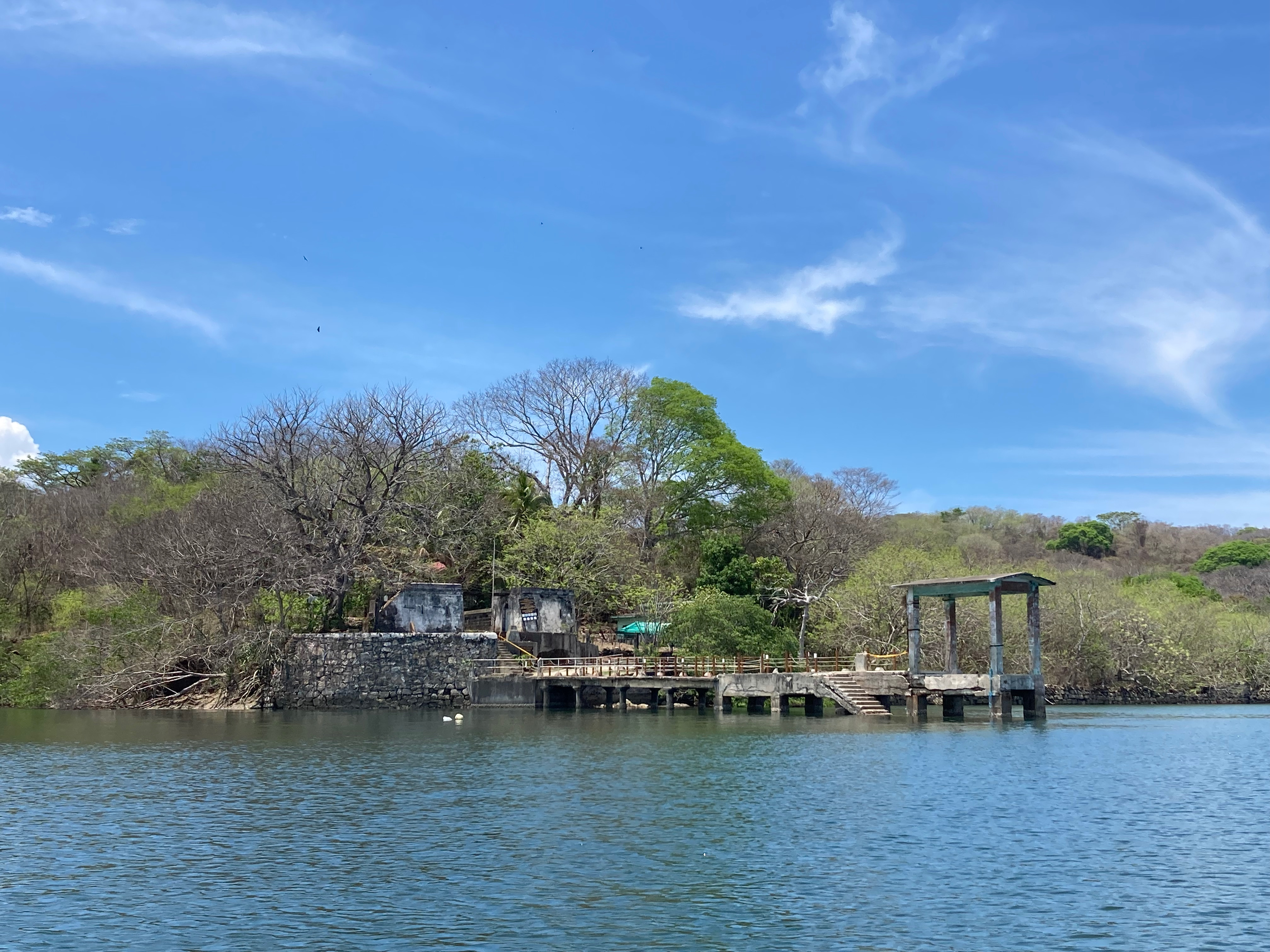
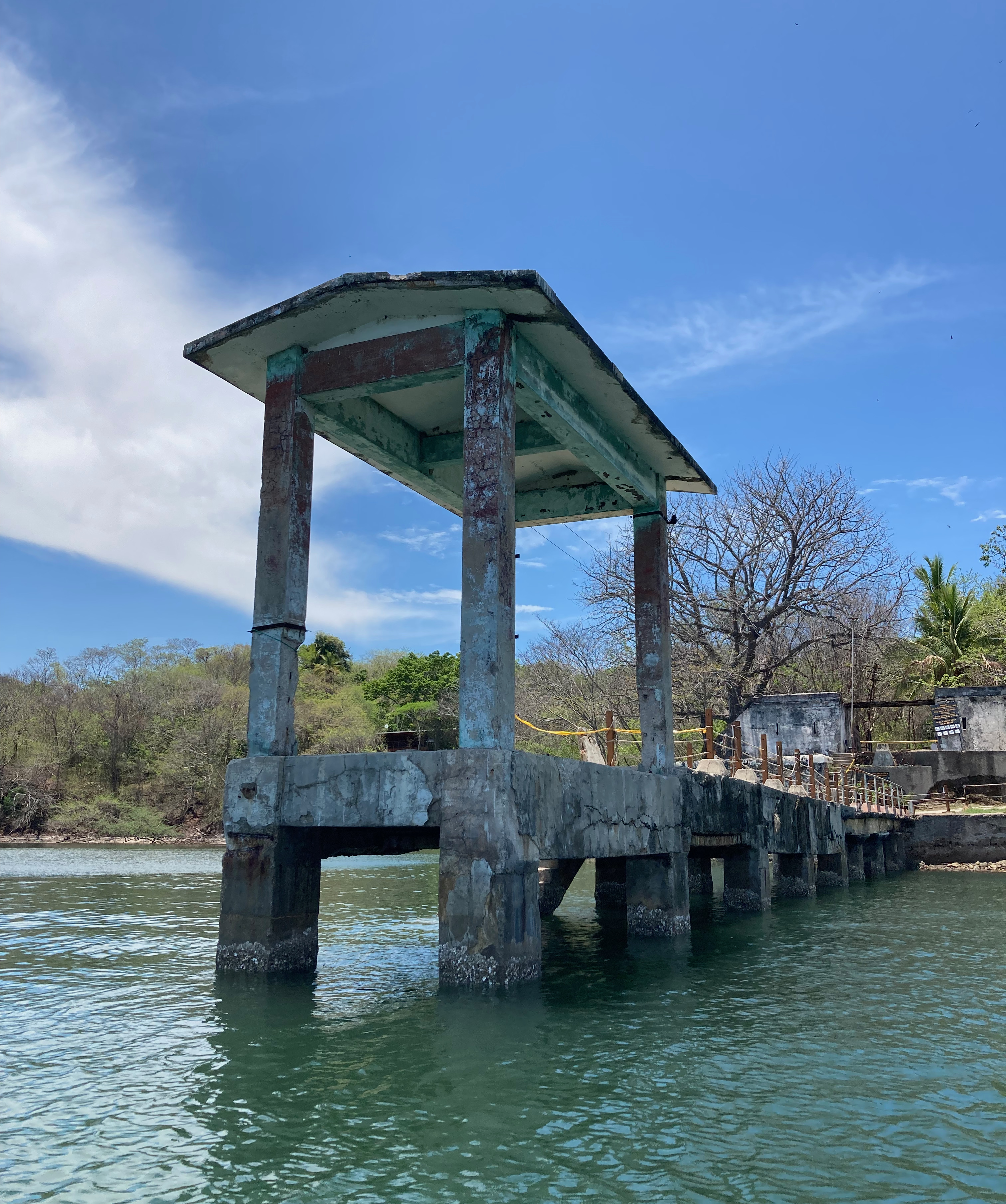
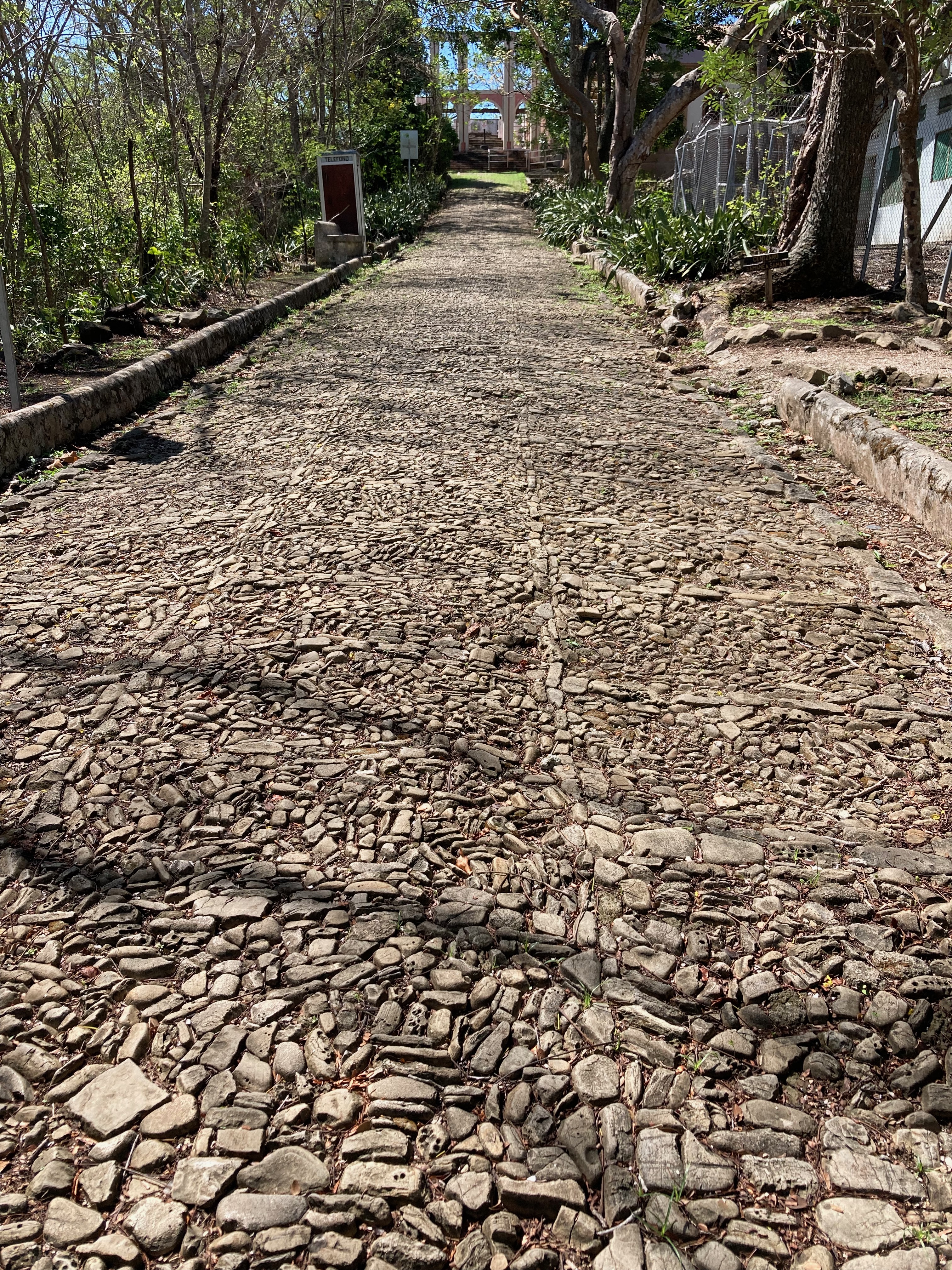
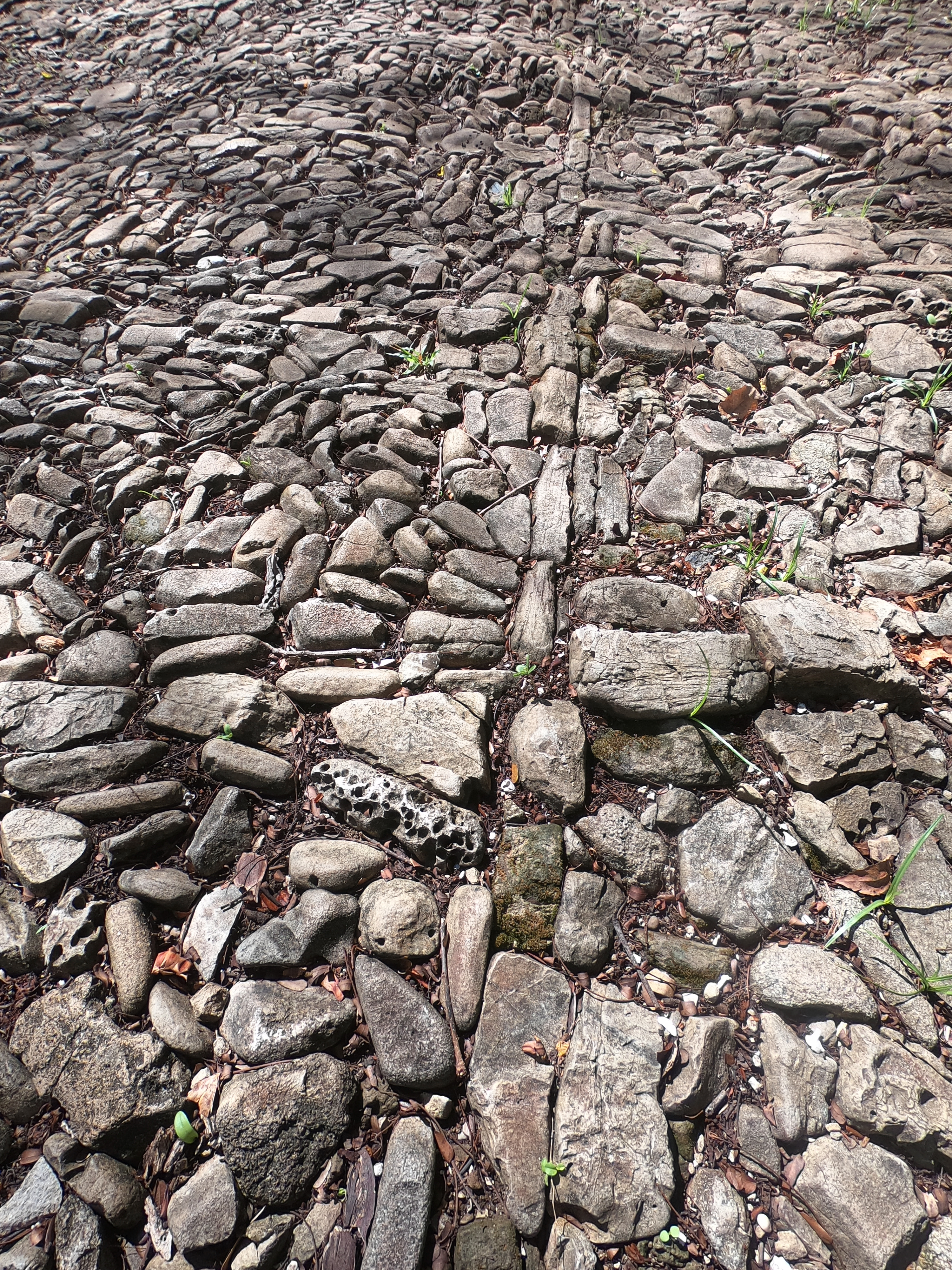
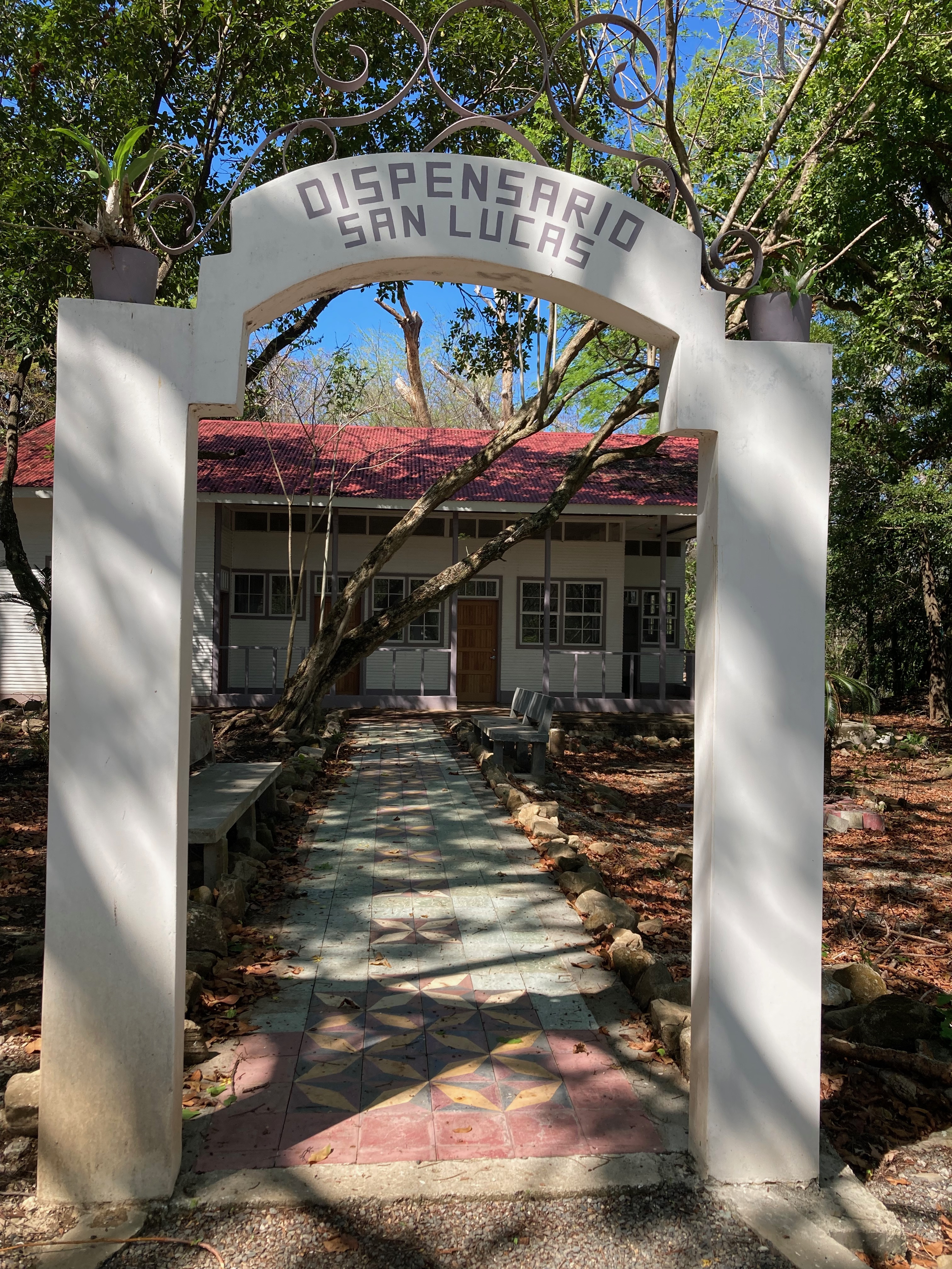
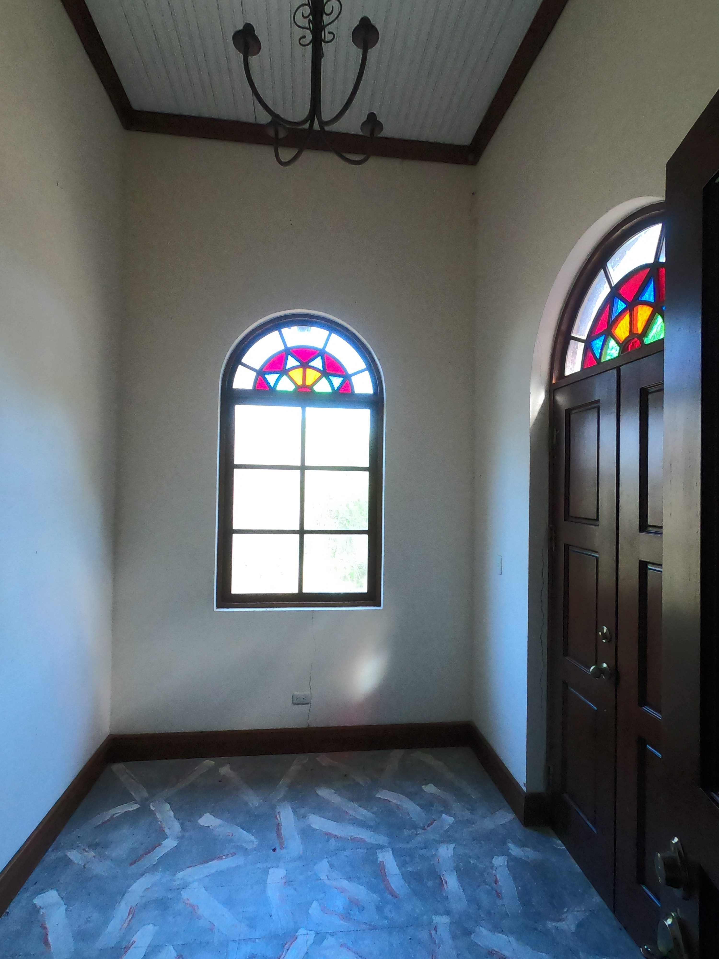
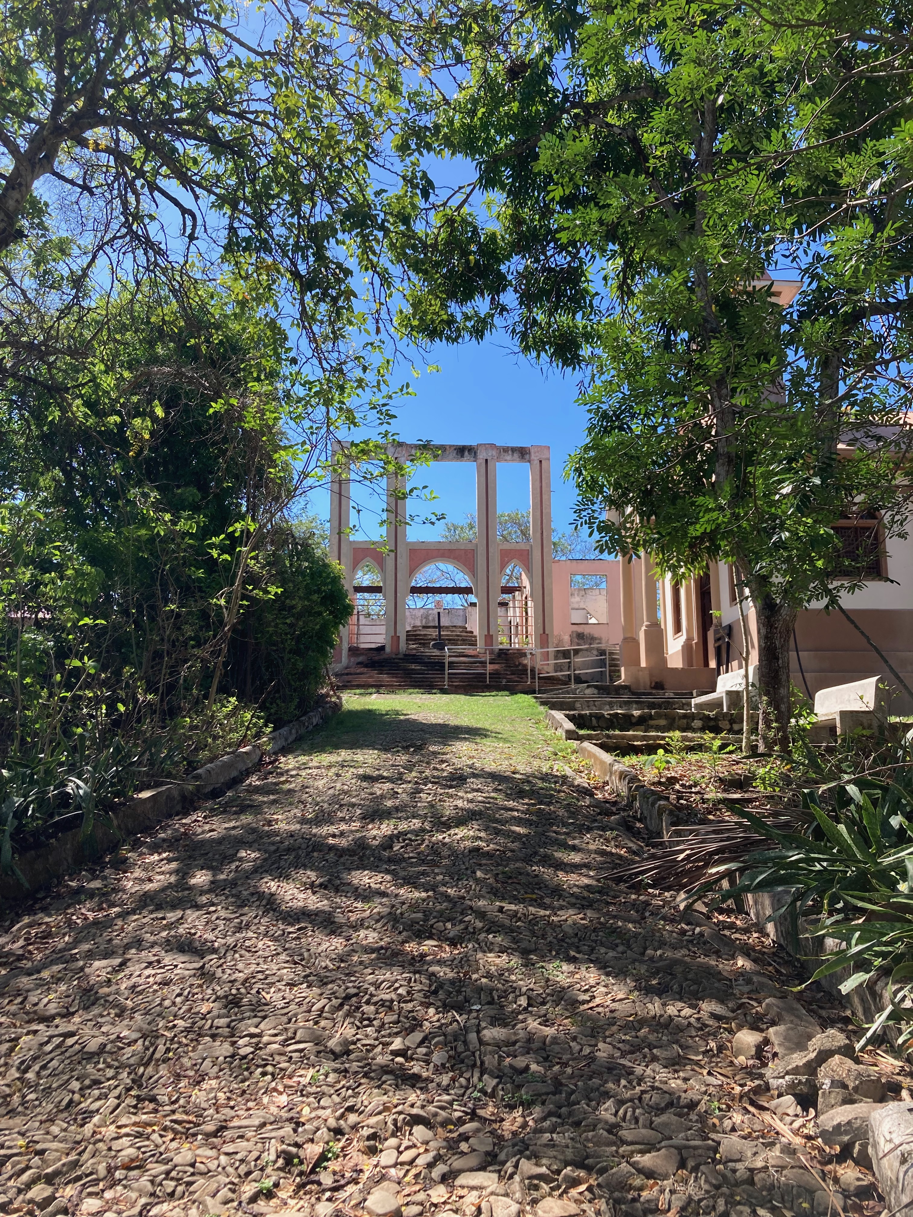
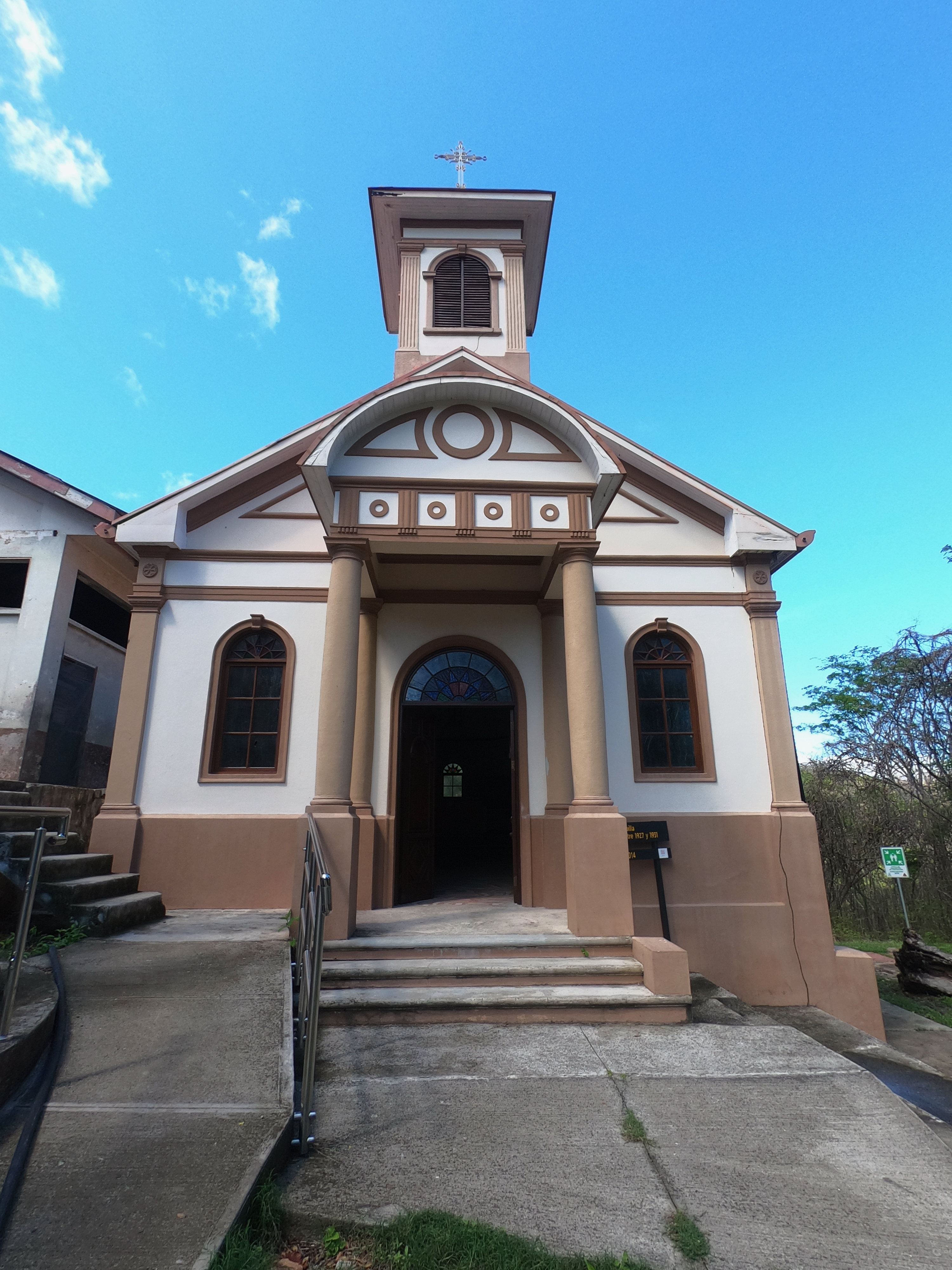
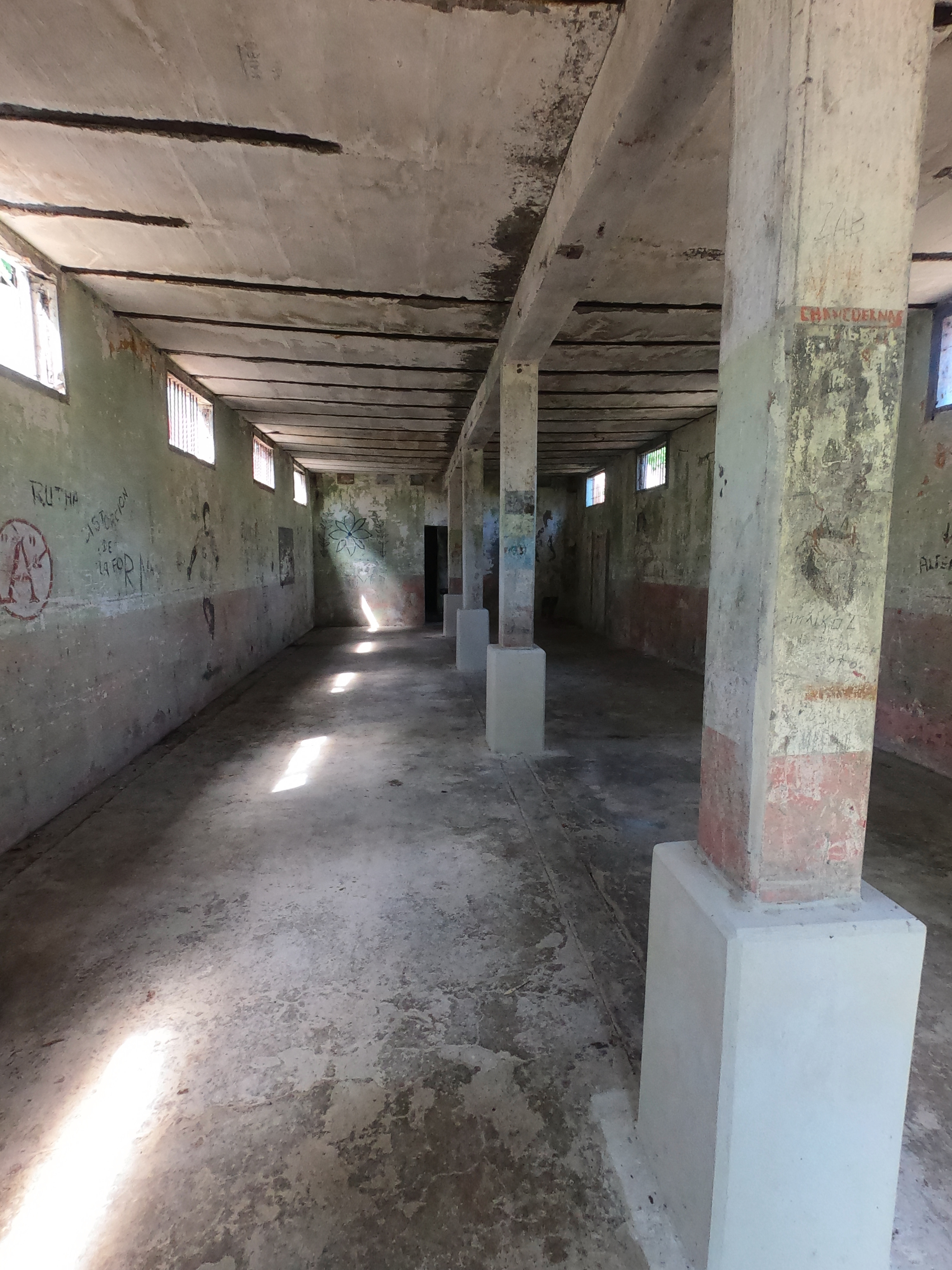
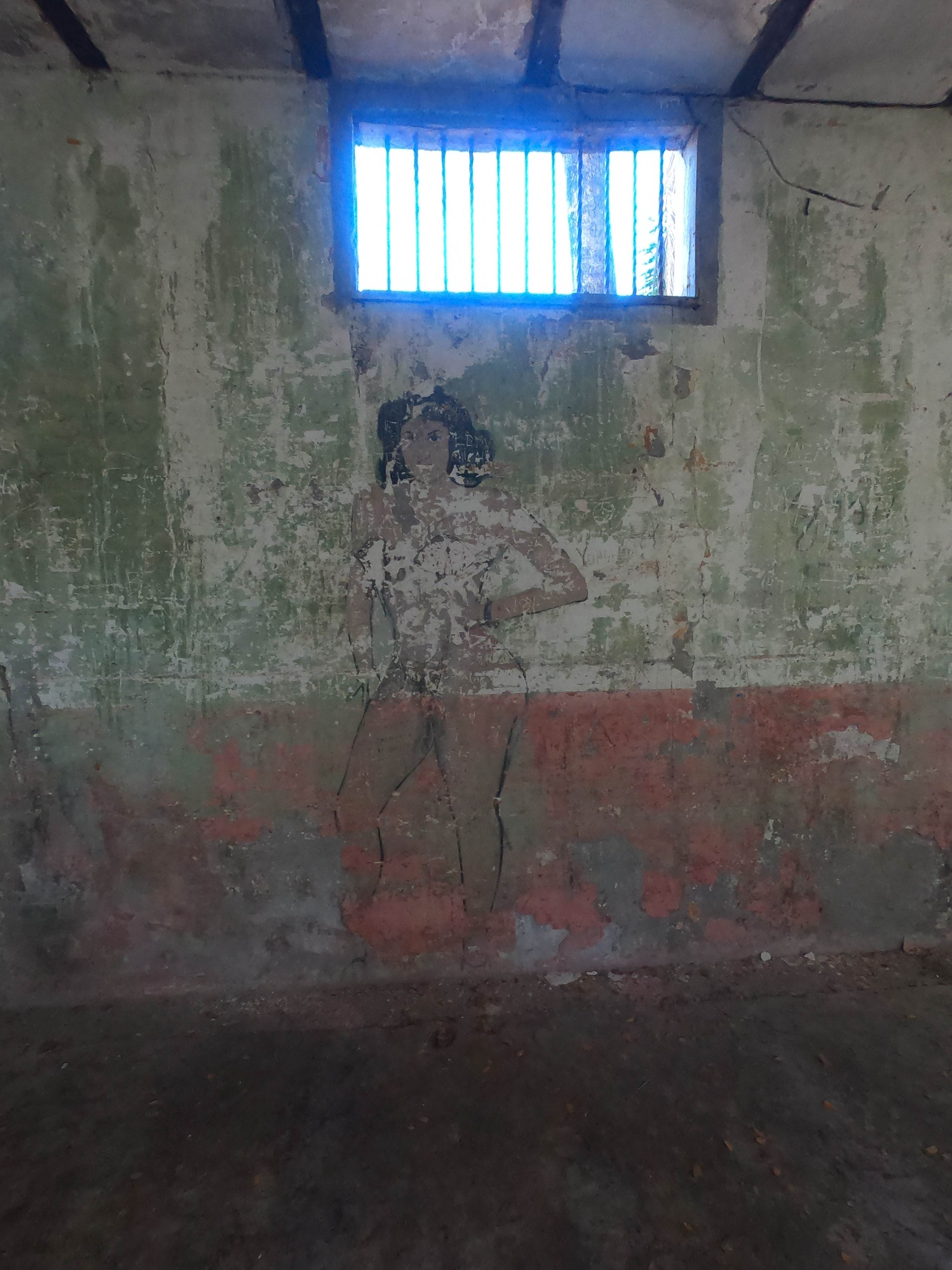
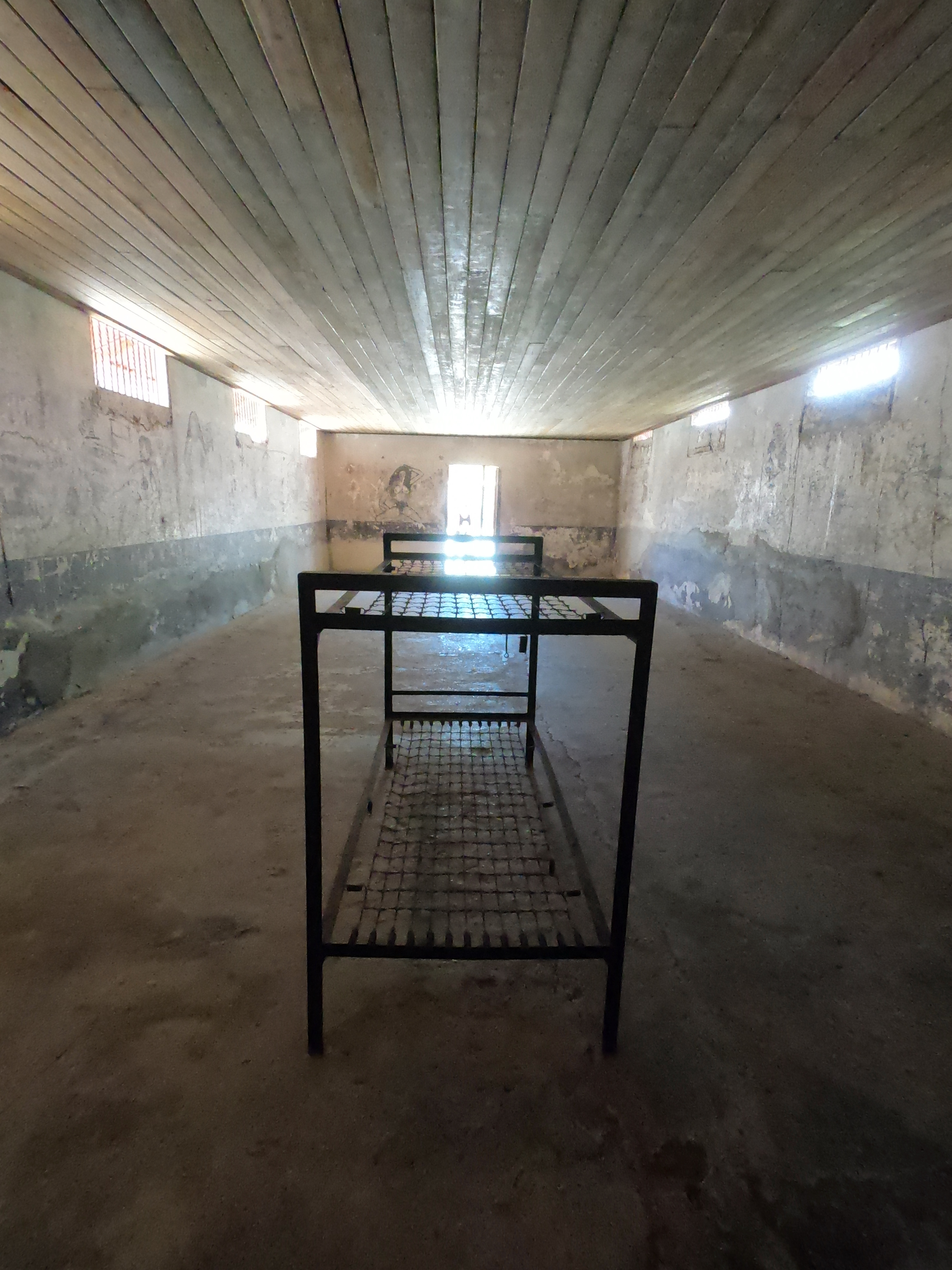
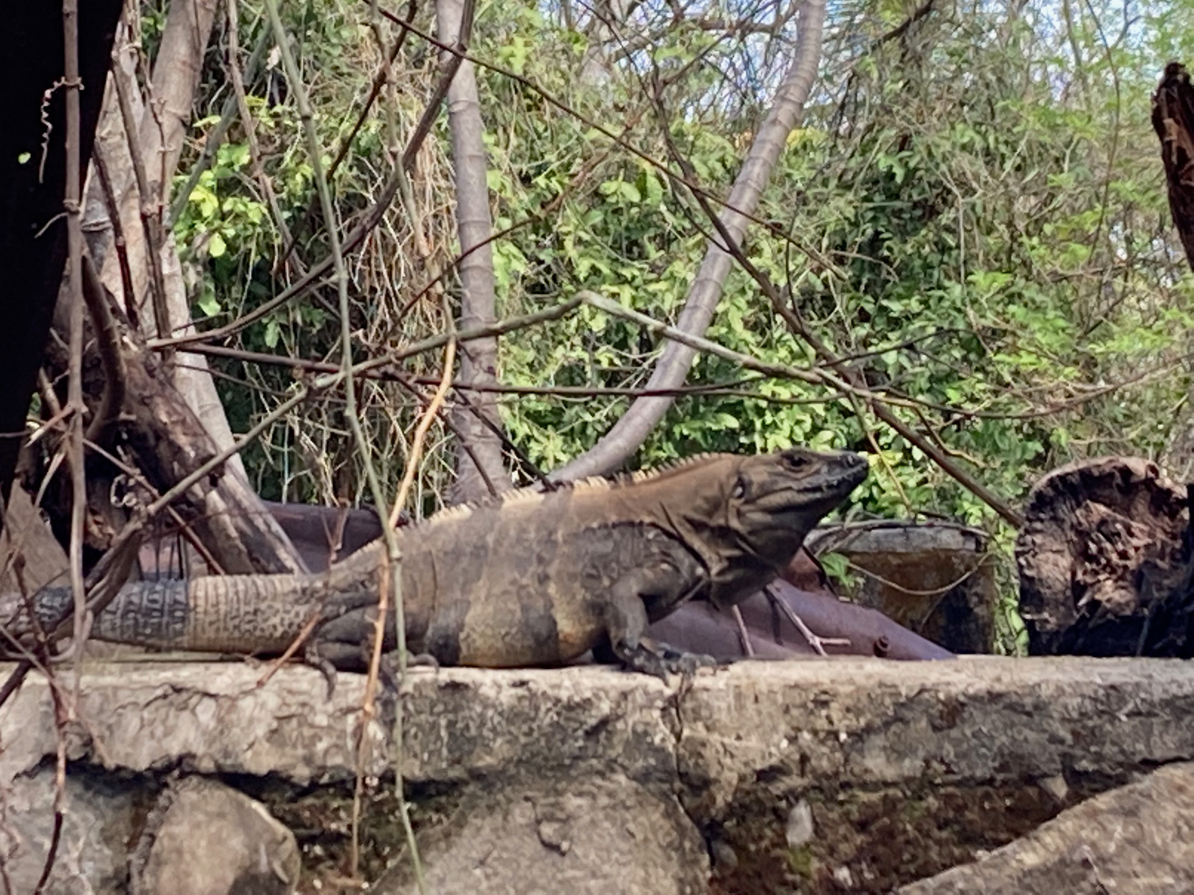
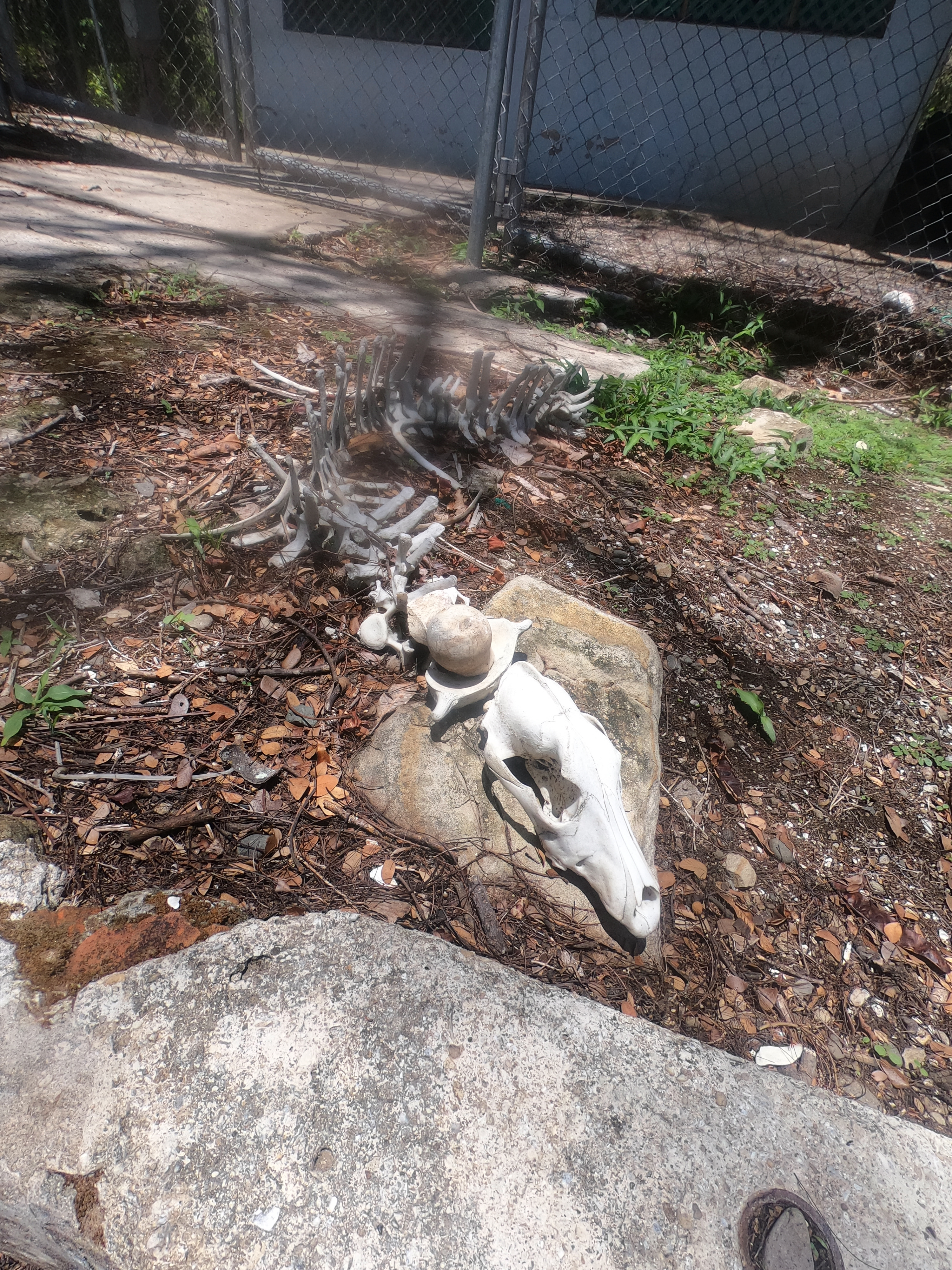
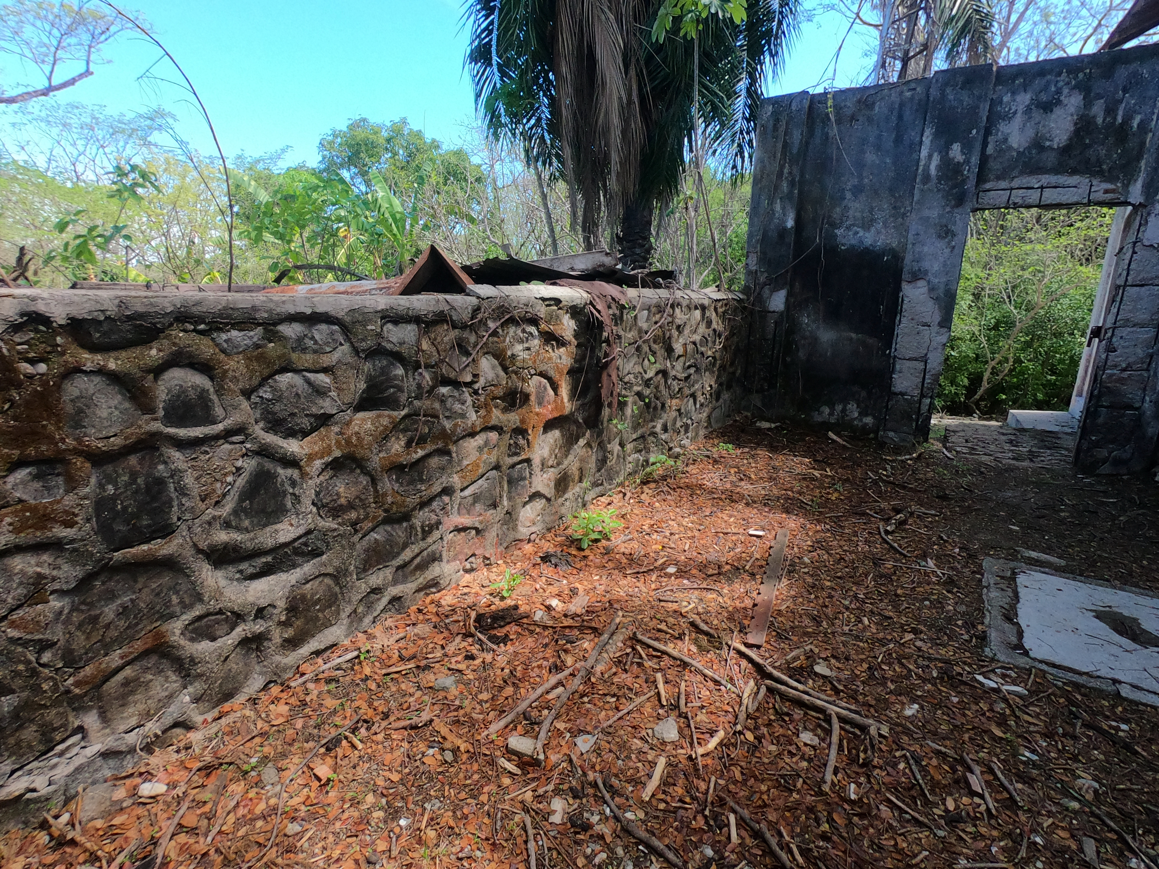
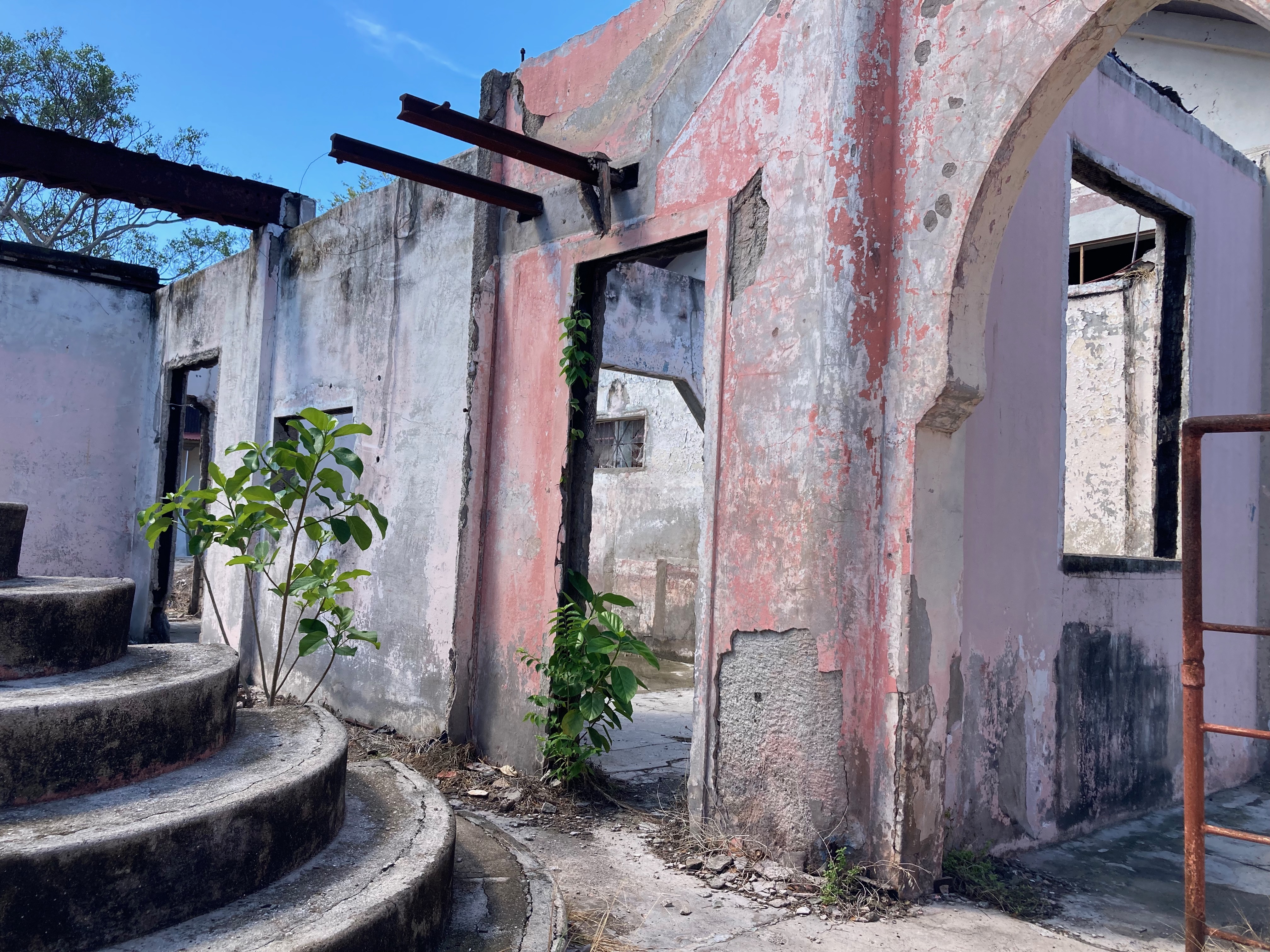
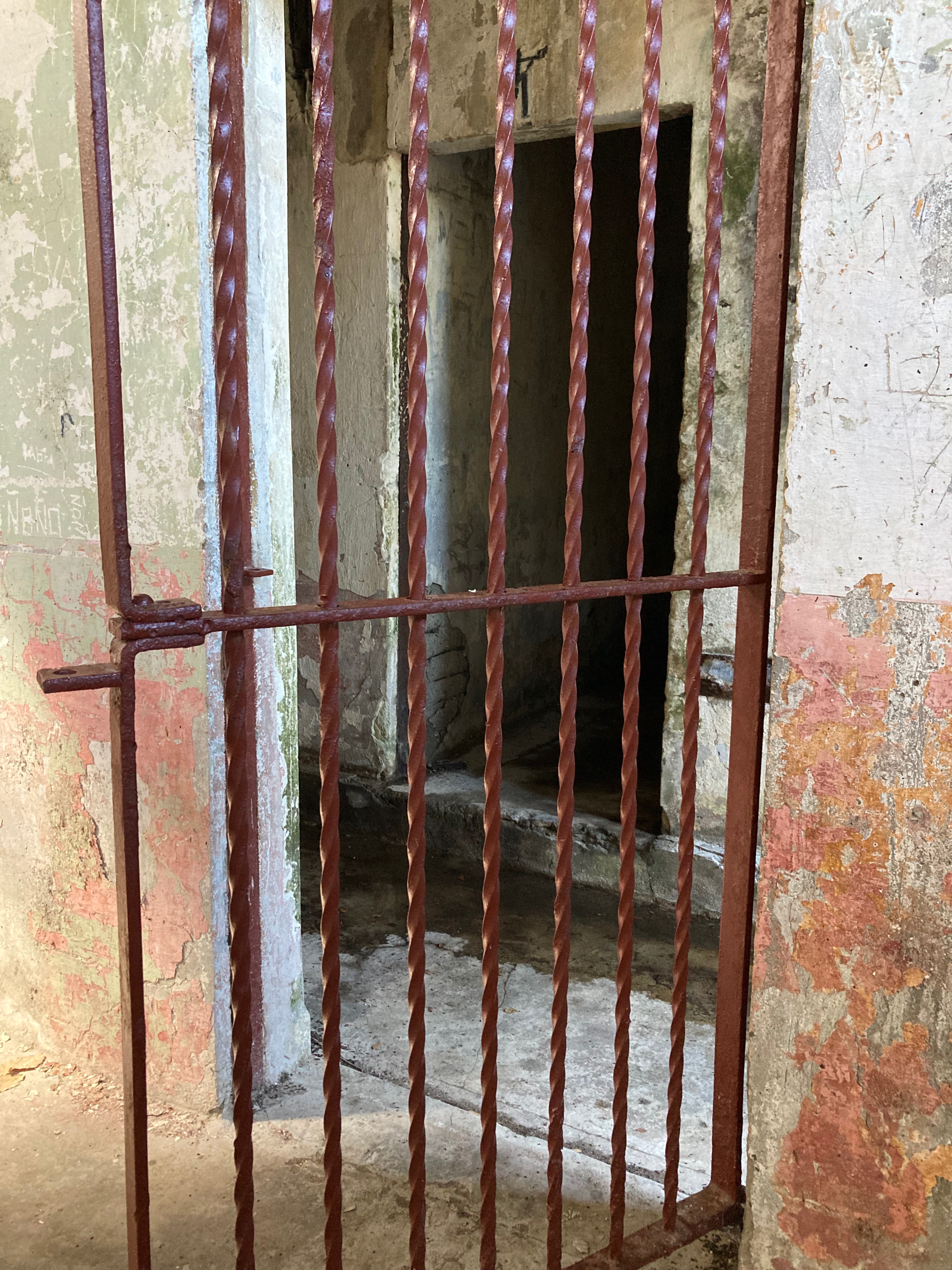
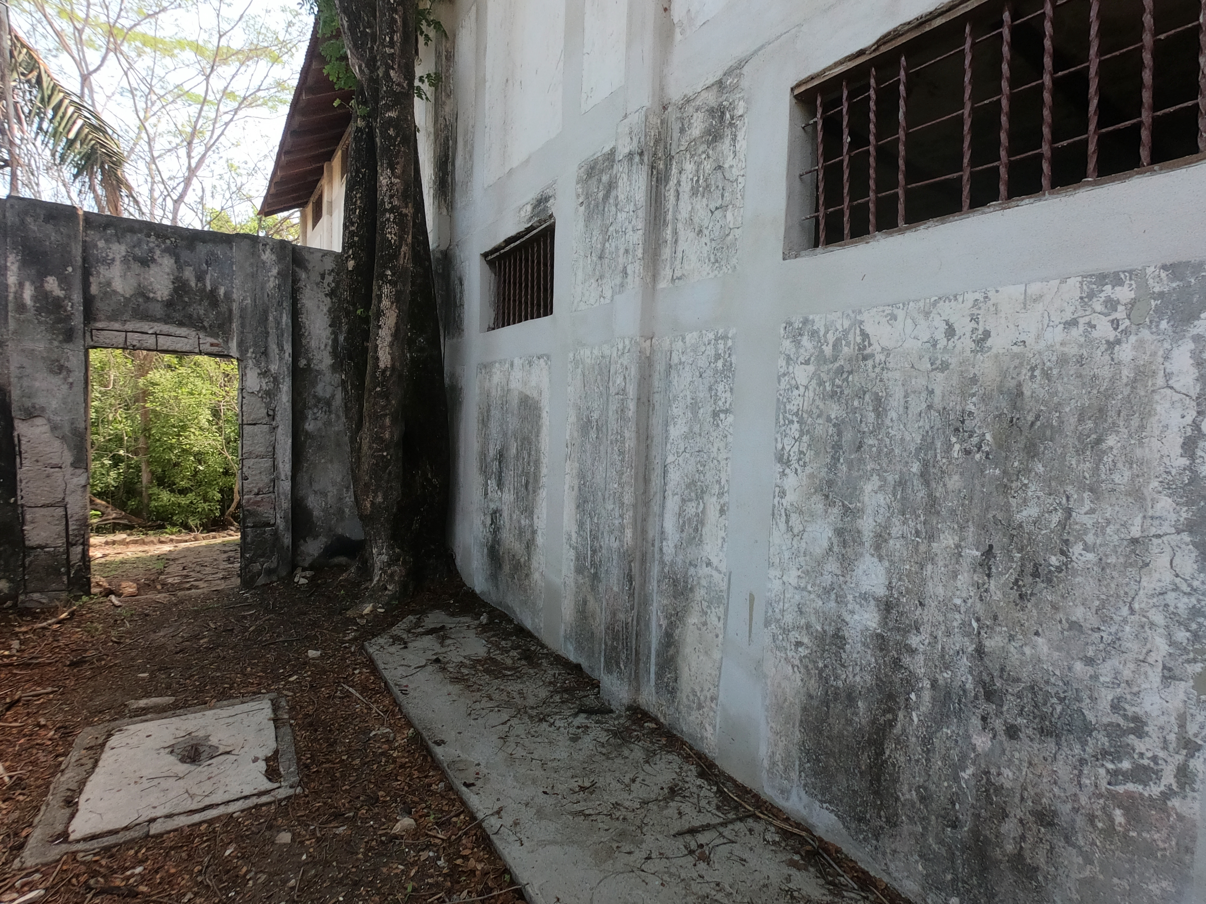
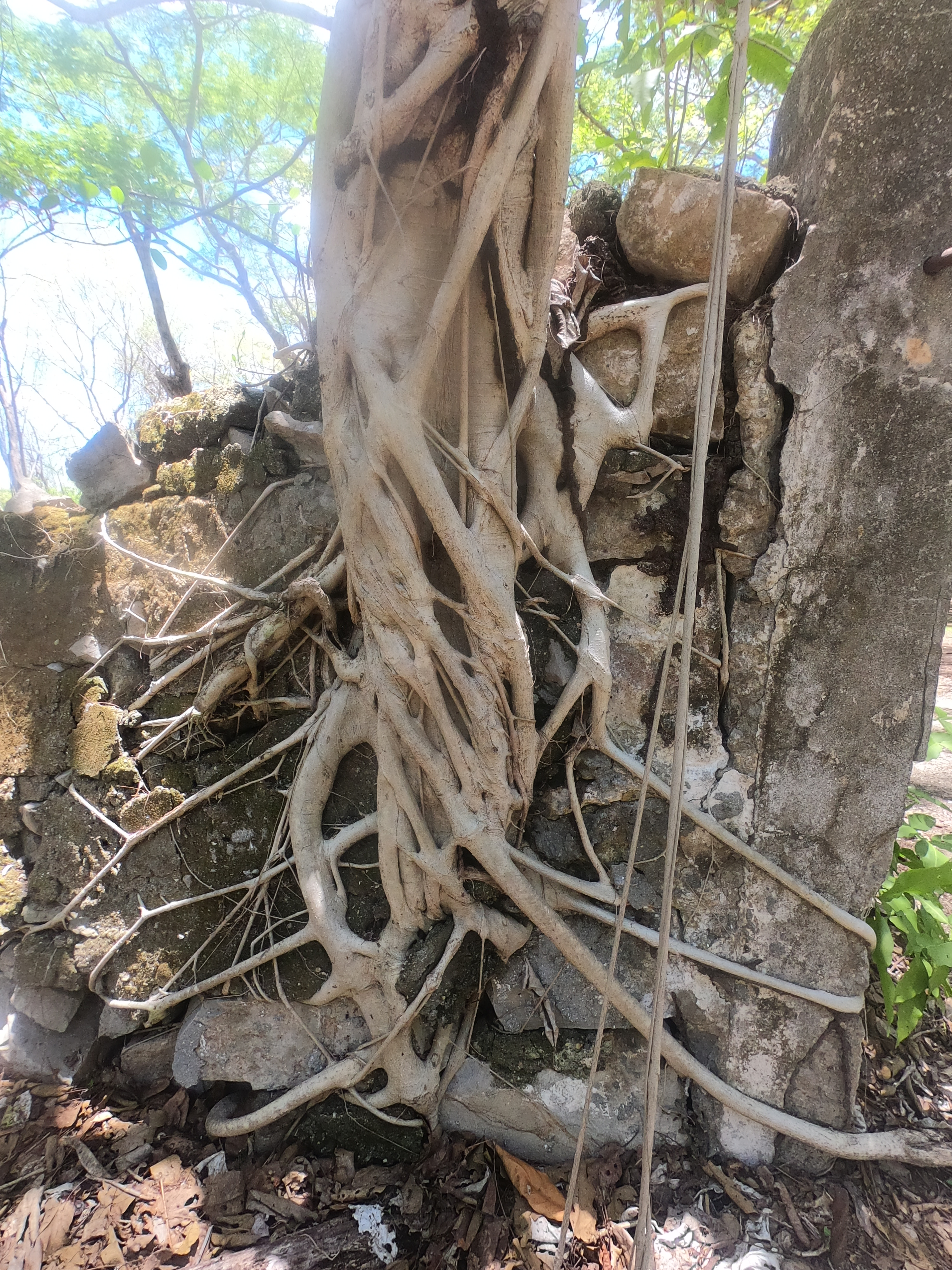
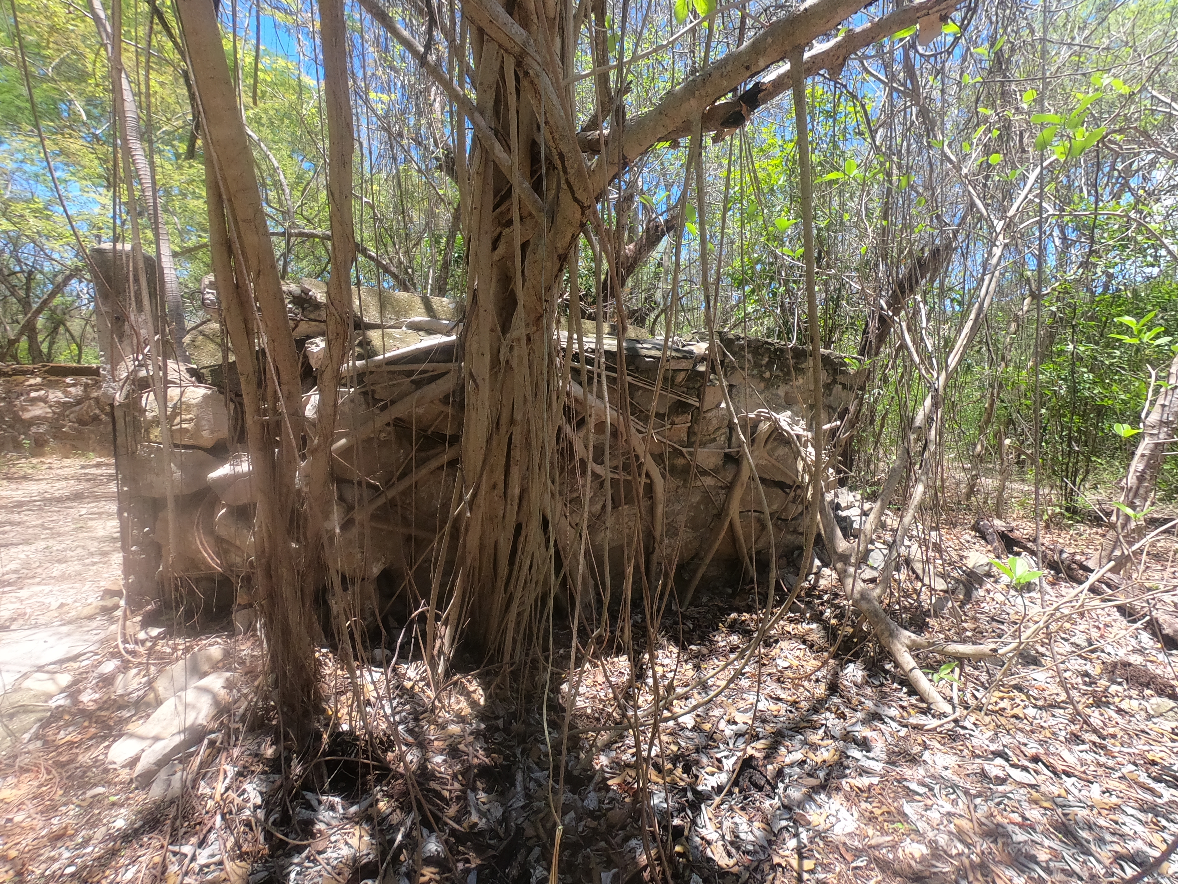
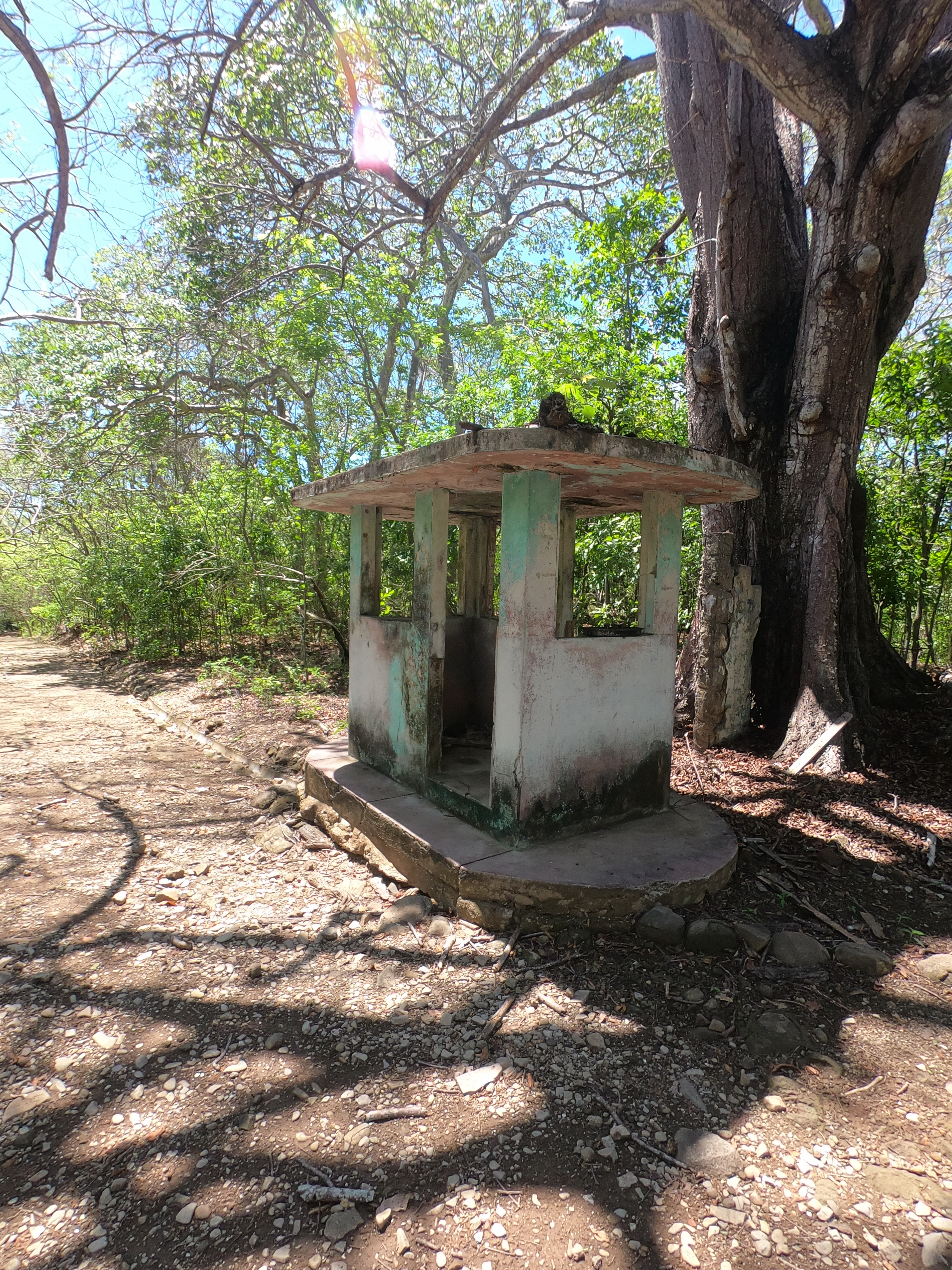
A number of anchorages later we found ourselves at Isla San Lucas, Costa Rica’s version of Alcatraz. From the late 1800’s until 1991, this less than two square mile island housed a high security prison globally notorious for the torture and inhumane treatment its prisoners endured; or more often, failed to endure. Their crimes ranged from violent multiple murders to political dissidence.
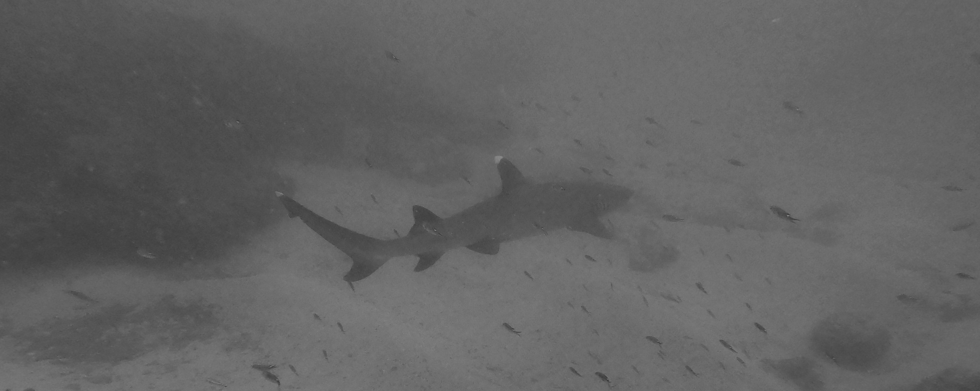
The water surrounding the prison, like Alcatraz, added an extra security ring. However, in addition to strong currents, there was the added Costa Rican flair of hammerhead sharks and crocodiles. Didn’t see hammerheads…did see a croc. Didn’t go swimming…did go ashore.
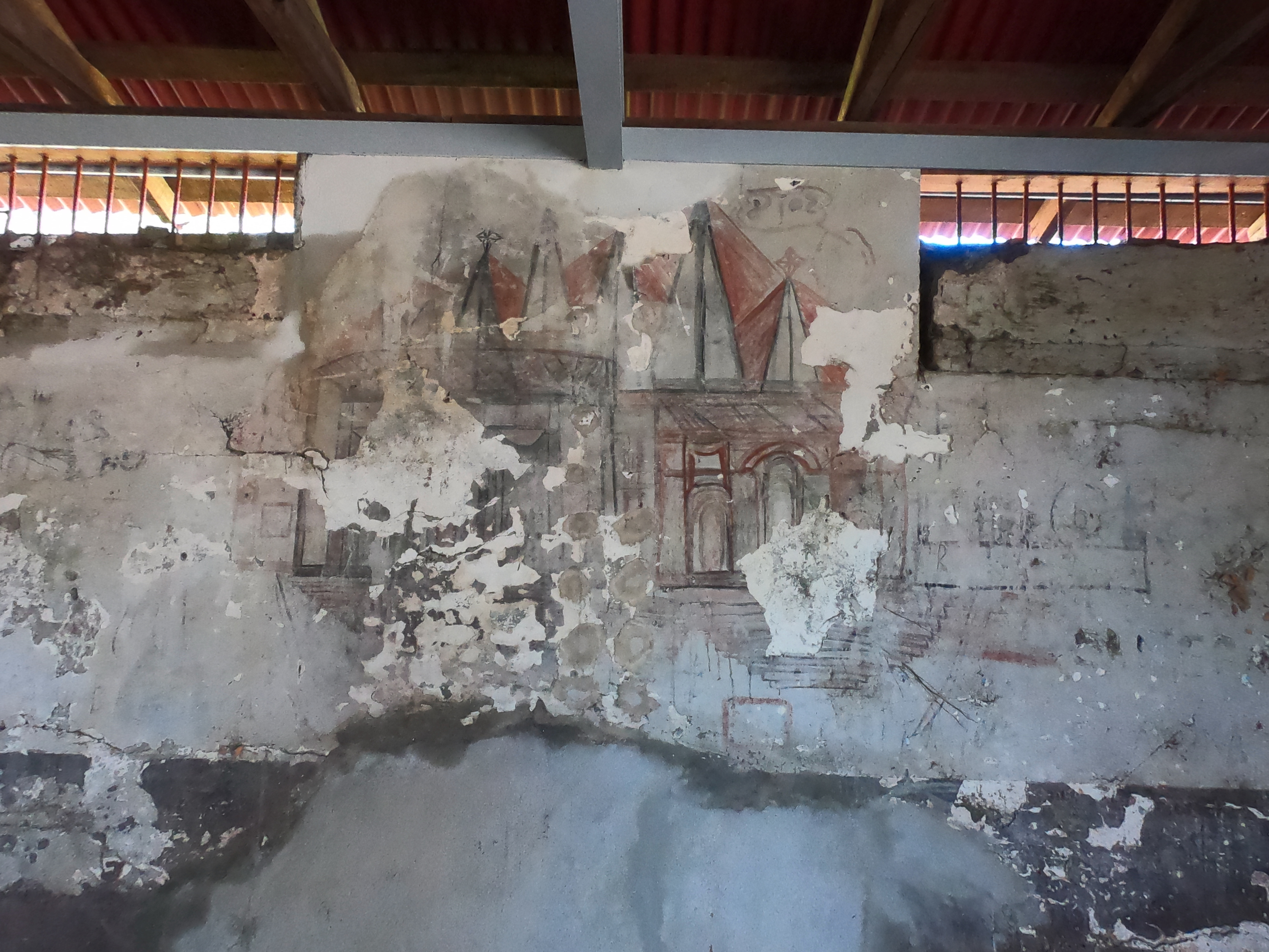
Only a couple of years ago, it was upgraded from Wildlife Refuge to National Park status. Currently restoration efforts include a church, medical facility, and holding cells which can be walked through.
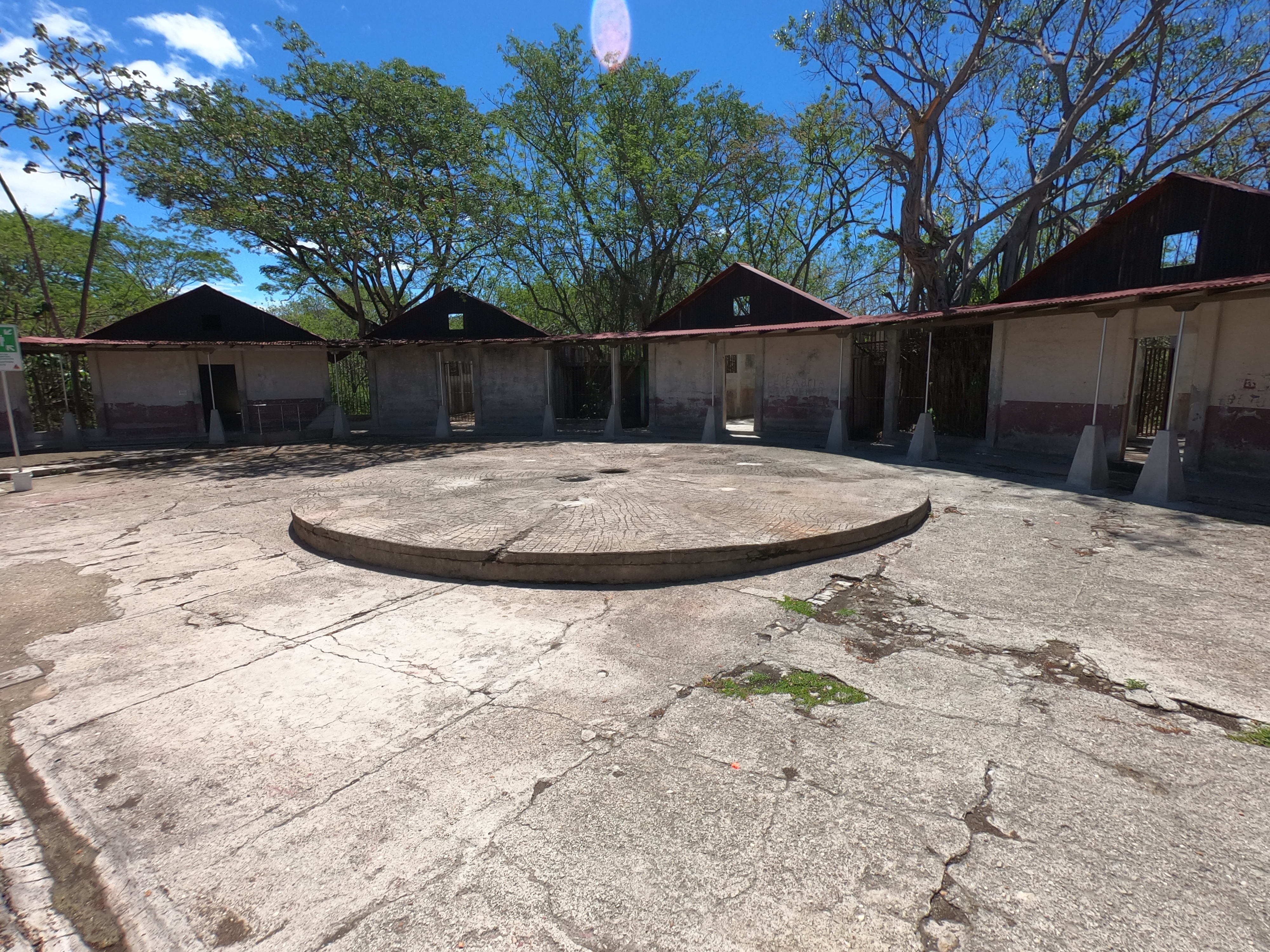
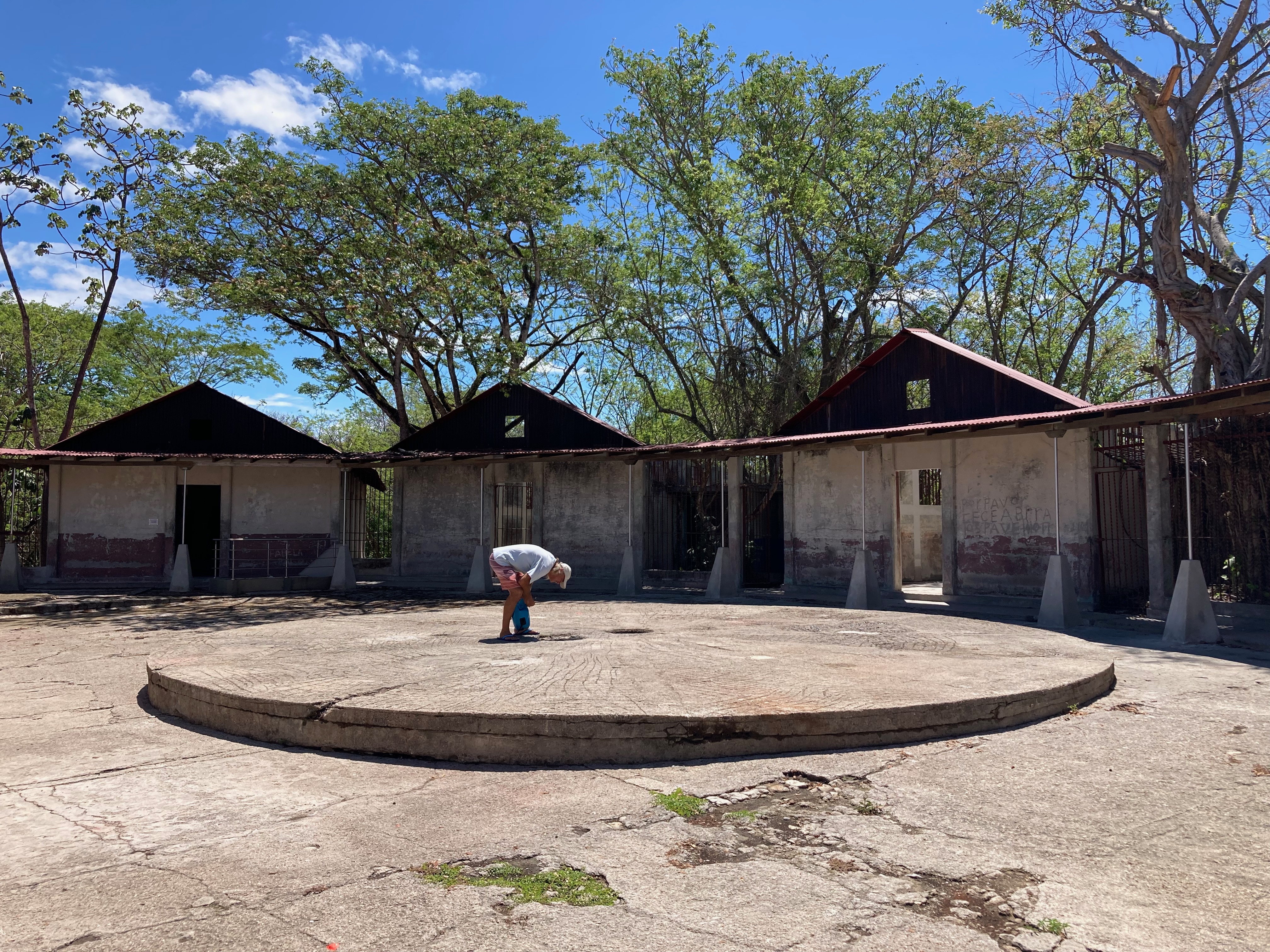
A nominal fee helps to support the ongoing restoration efforts for the prison facilities as well as numerous archeology excavations of thousand year old Indigenous sites. It also grants you access to wandering around the island for a day. Since we hadn’t arranged a guided tour, we just had to wing it.


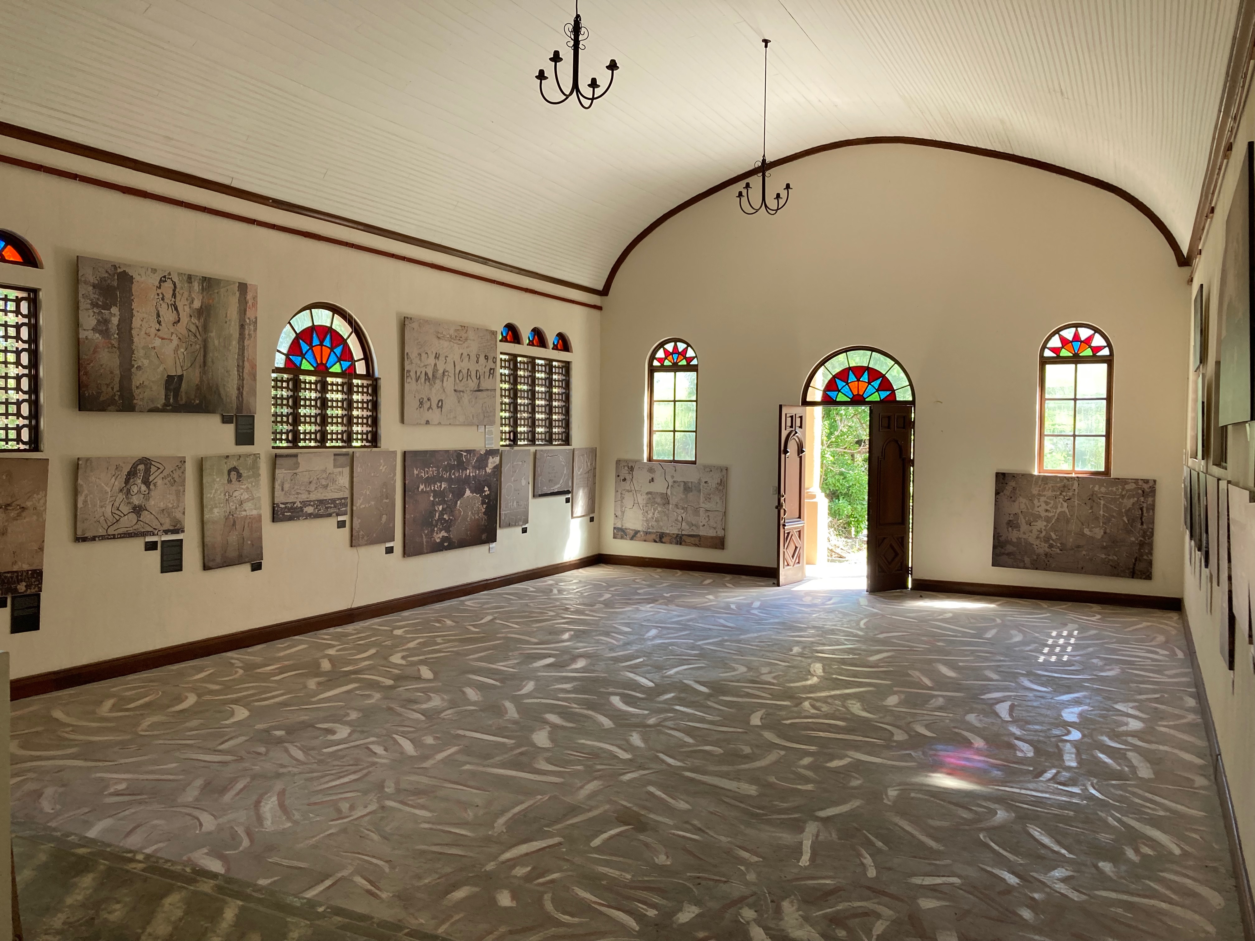
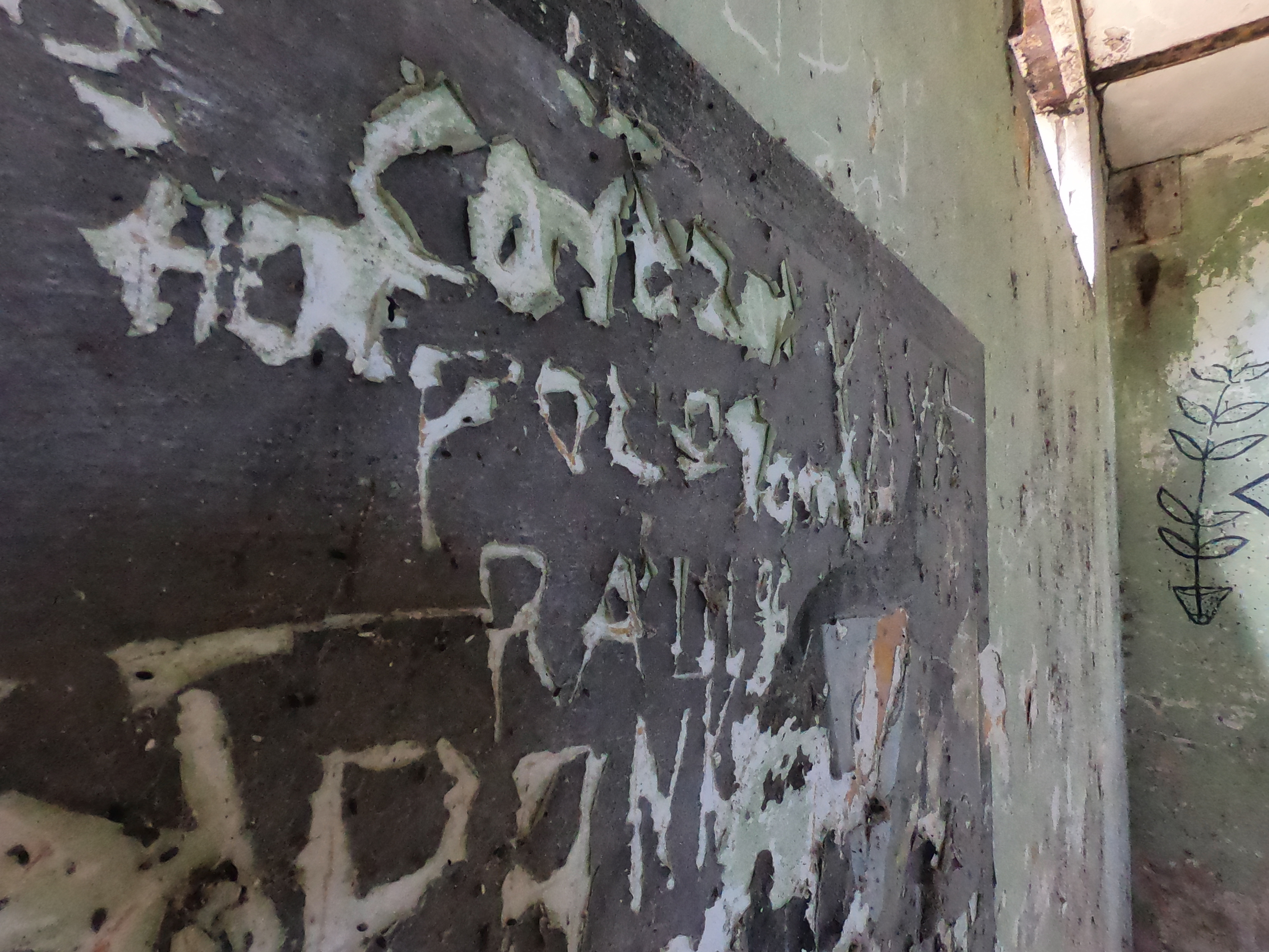
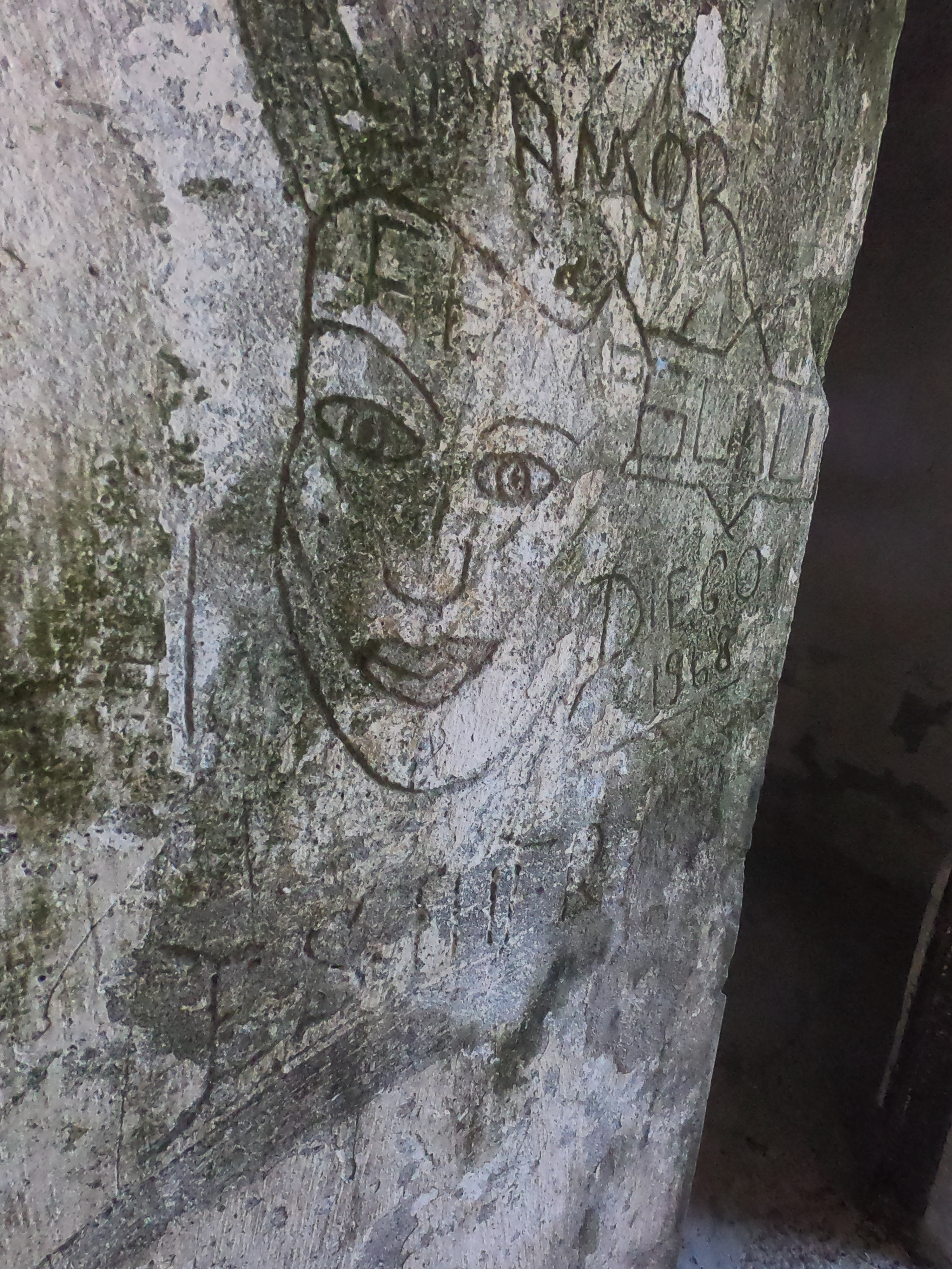
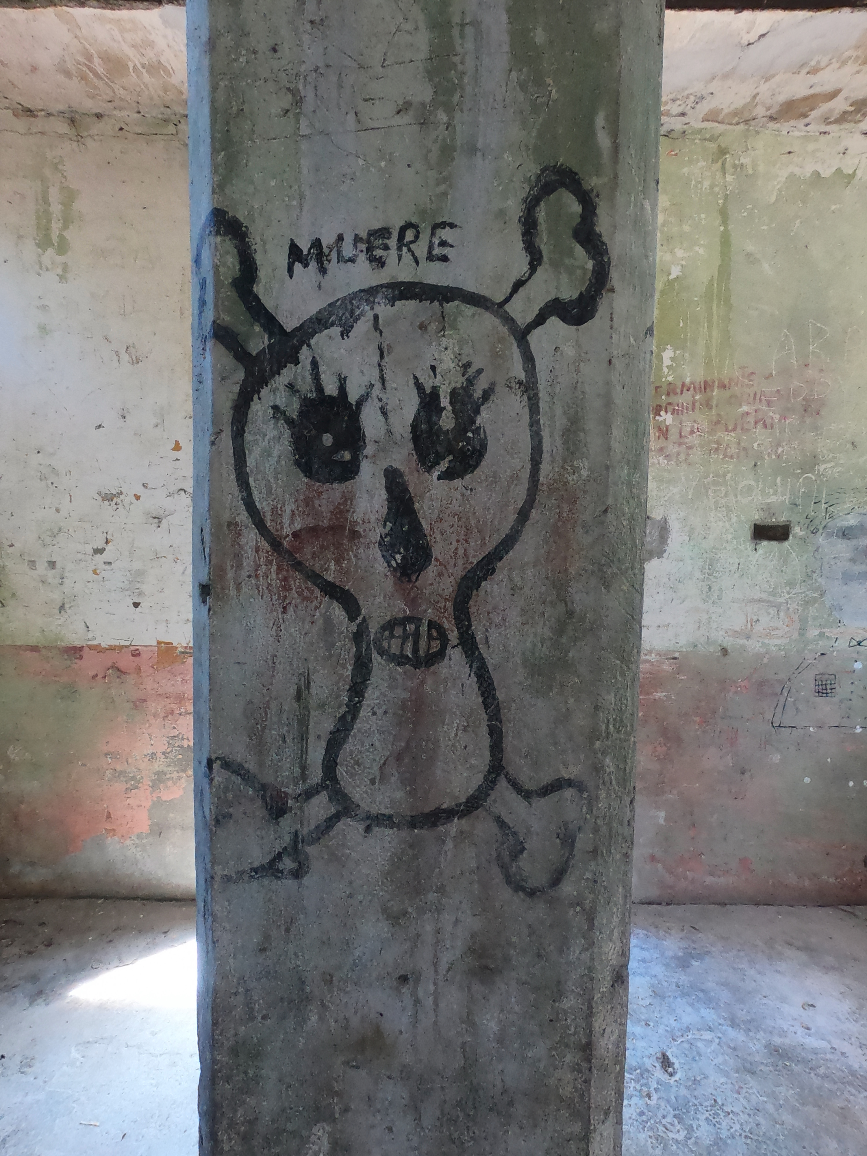
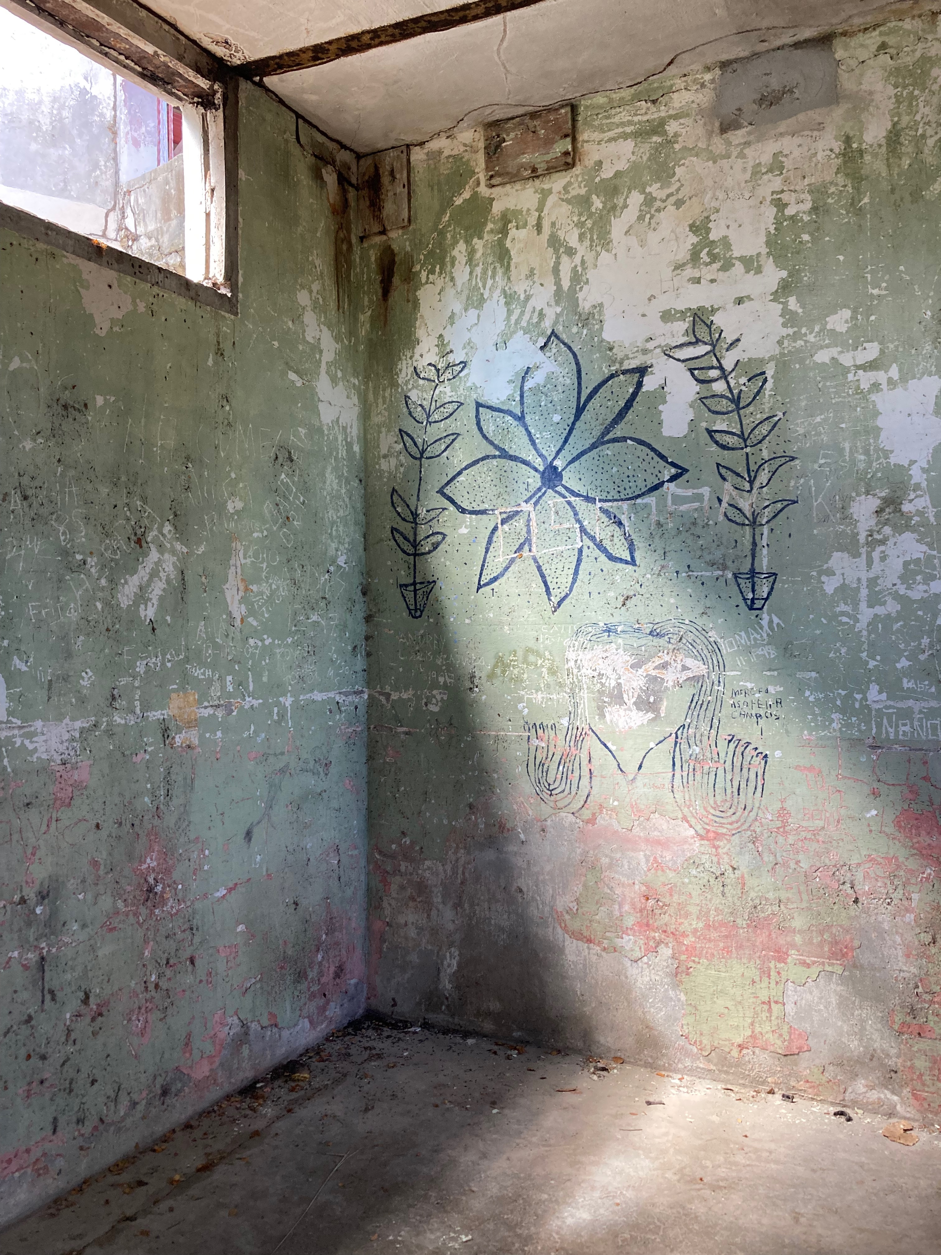
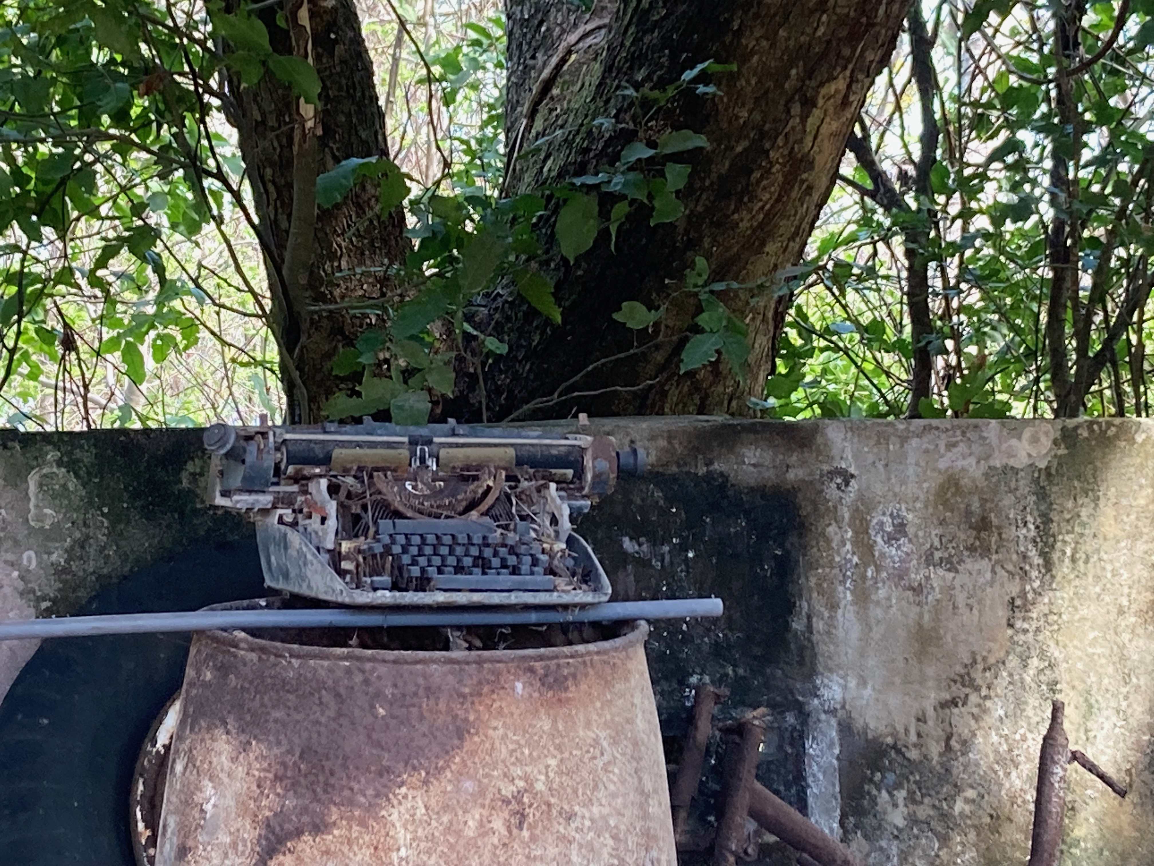
The walls of the cells are covered with graffiti. The musings of a hundred years of misery. Sketched, painted, and carved onto and into the walls, they run the gamut of what you would expect to be on the minds of tortured prisoners— salvation, damnation, freedom, and sex.
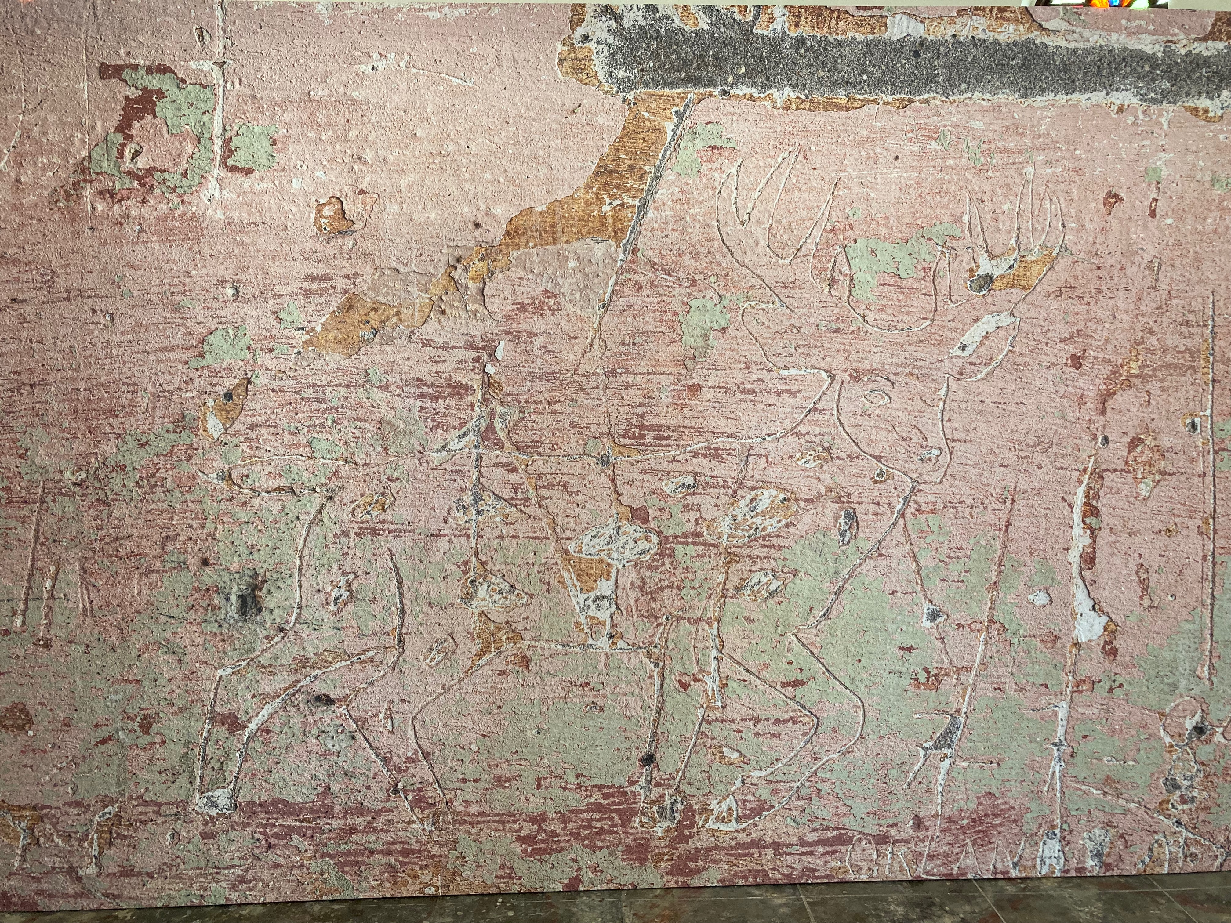


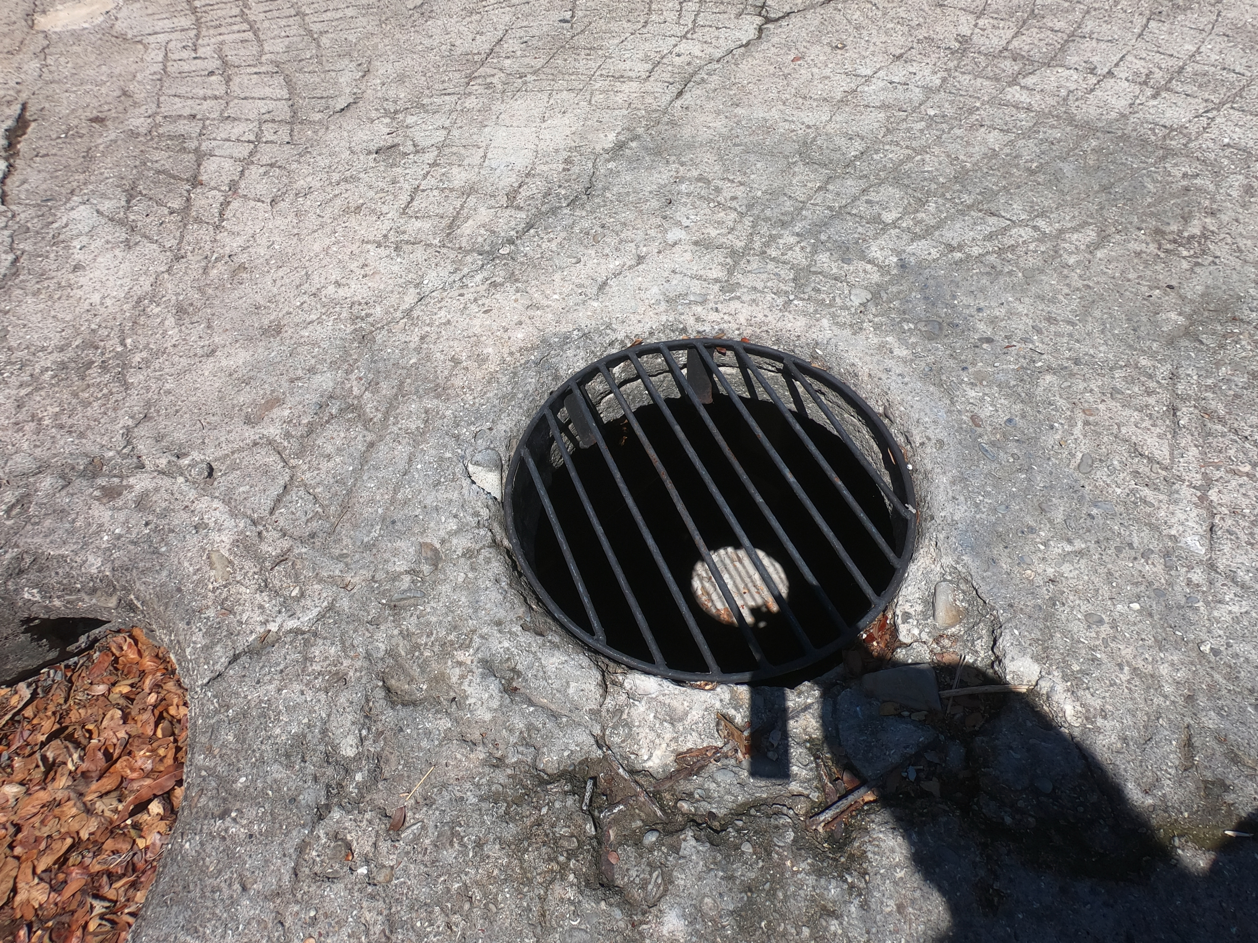
The cement disc apparently had something to do with a water storage tank and/or a particularly nasty solitary confinement area for trouble makers.
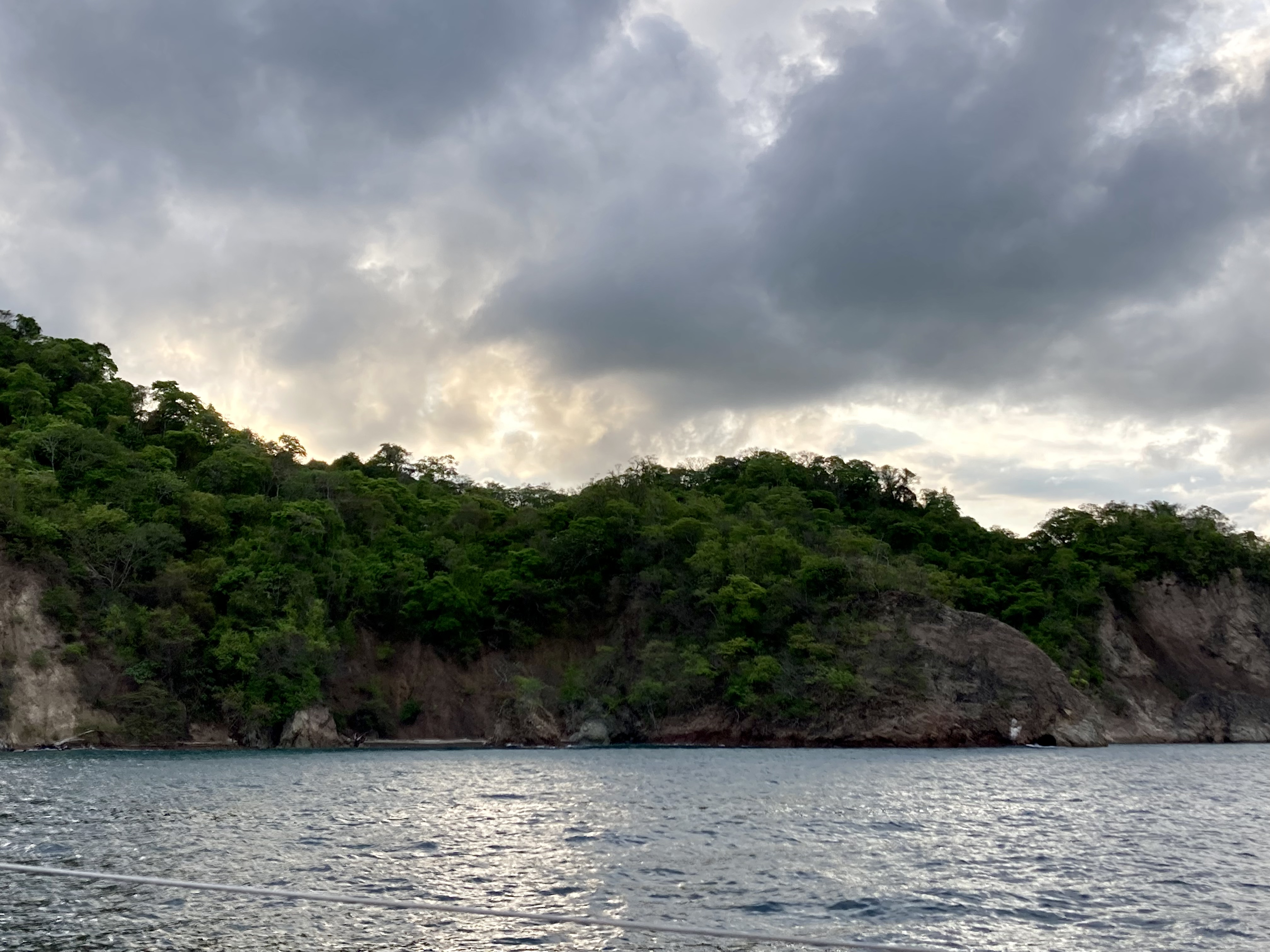
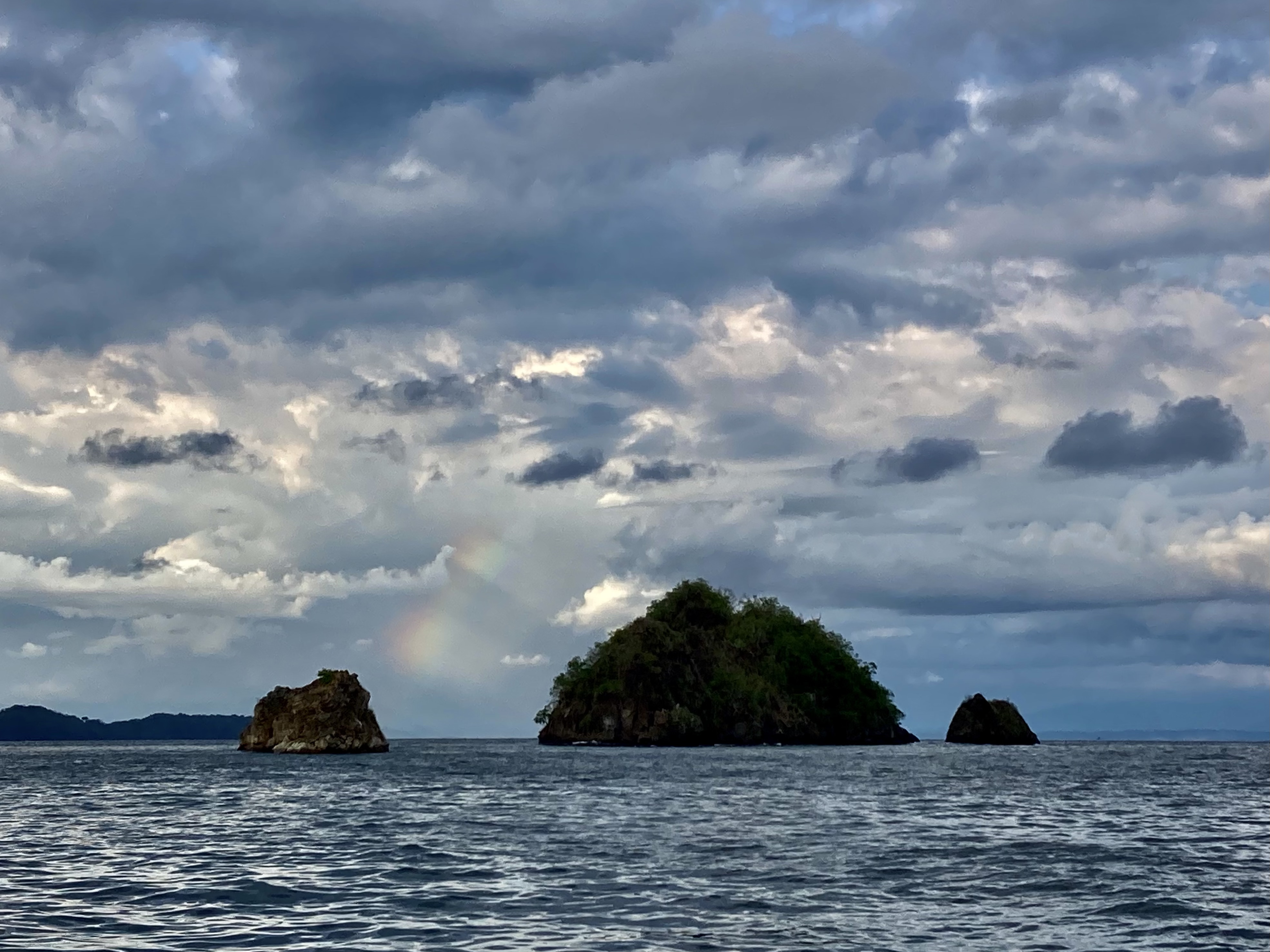
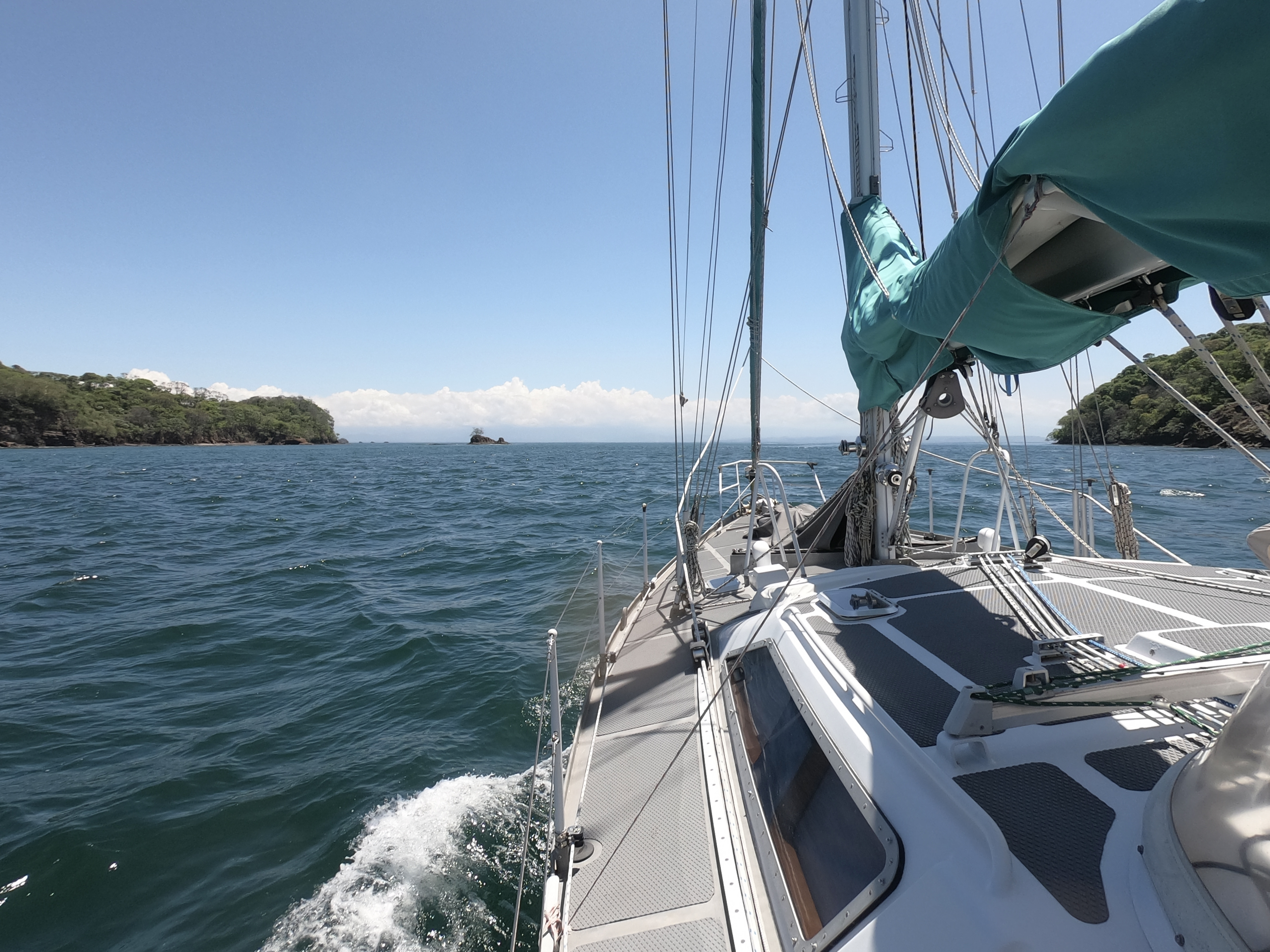
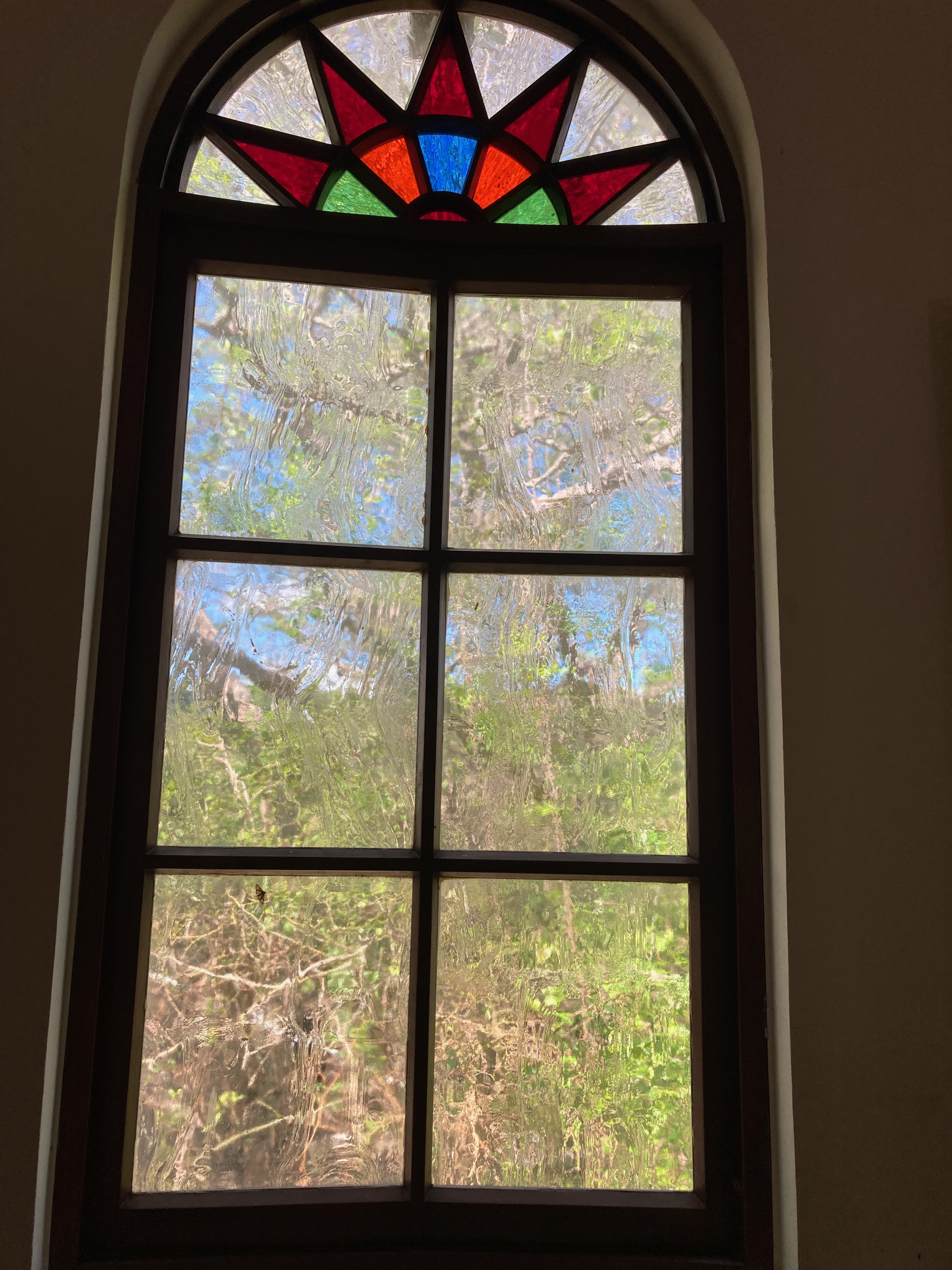
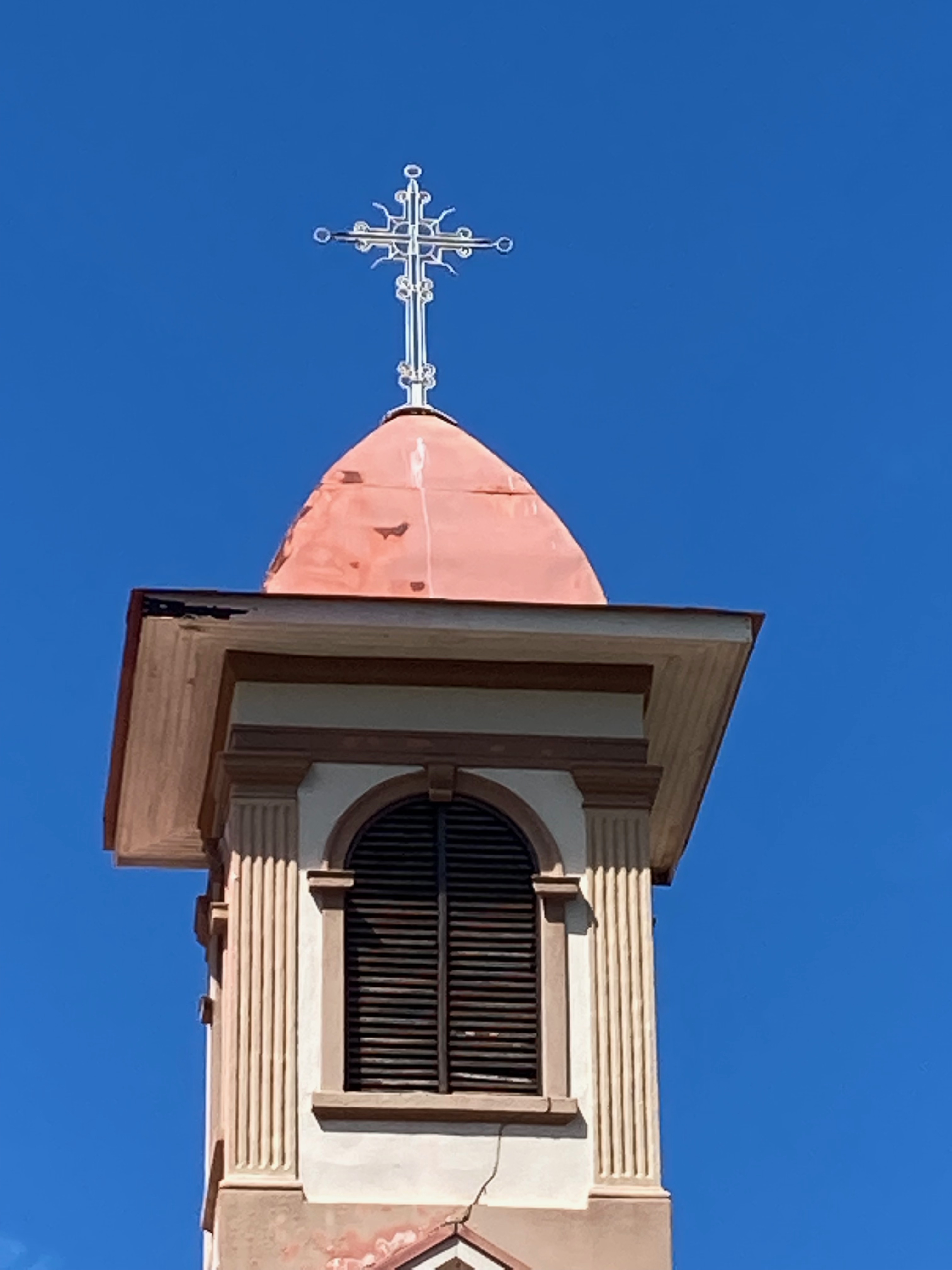
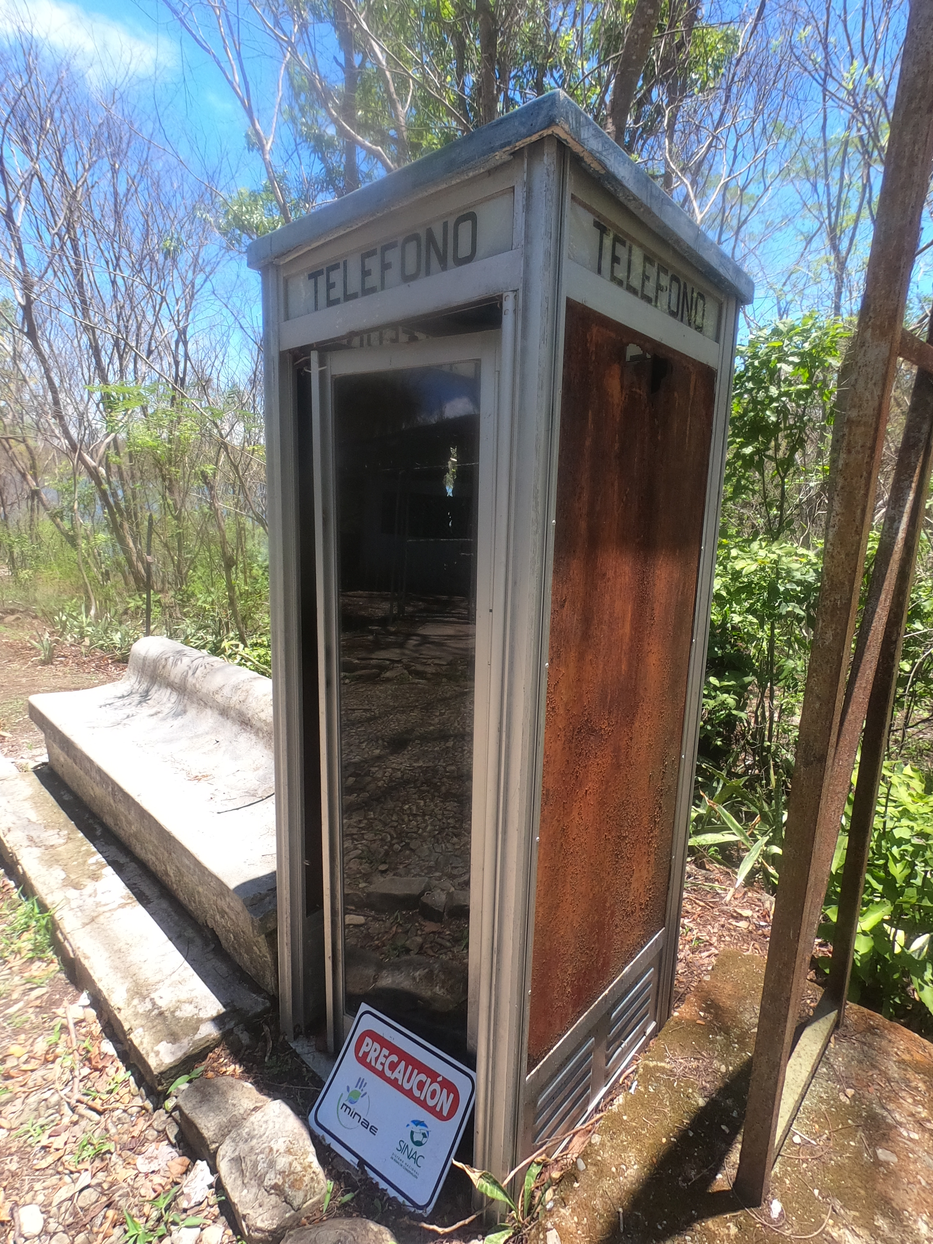
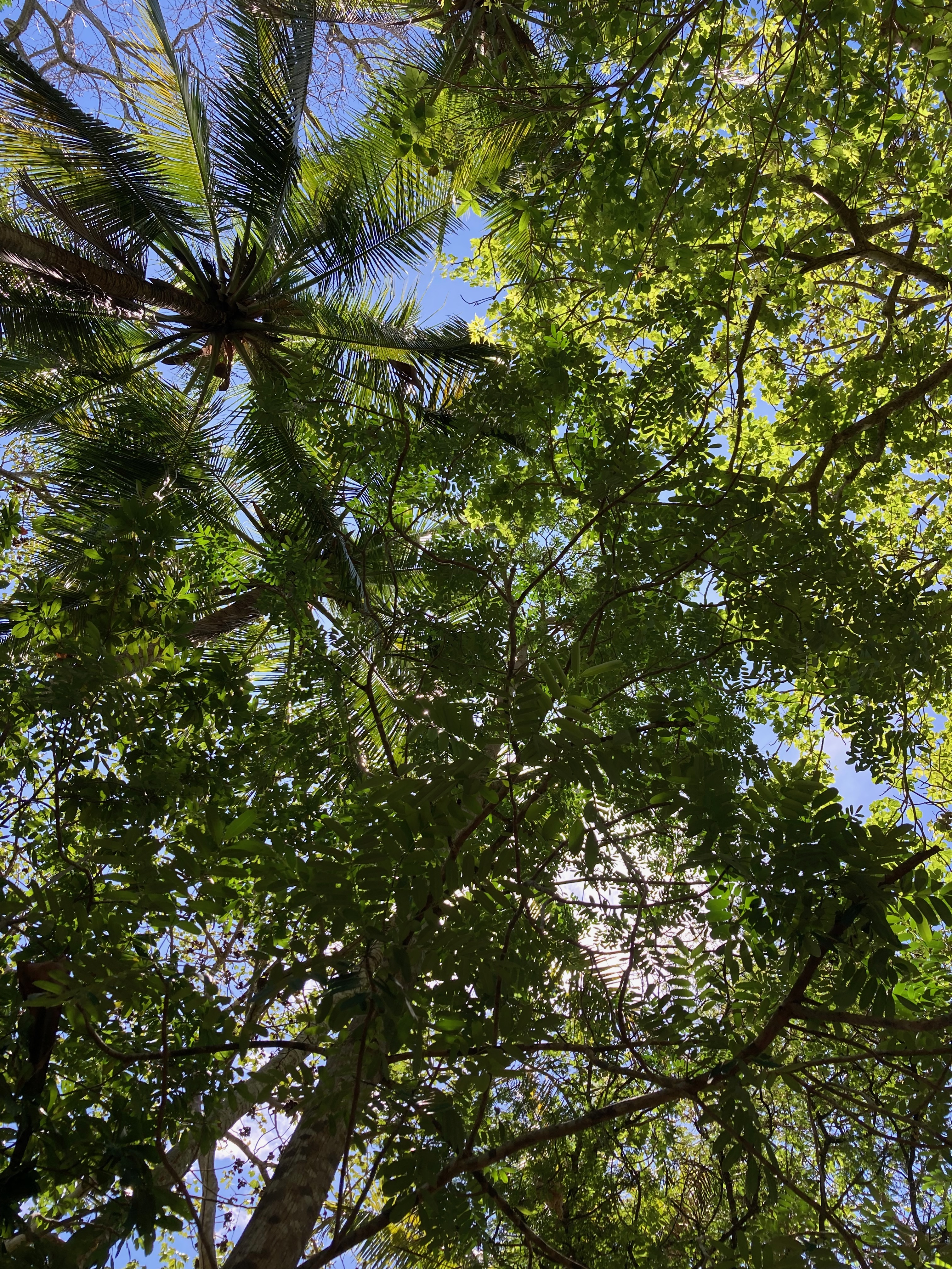
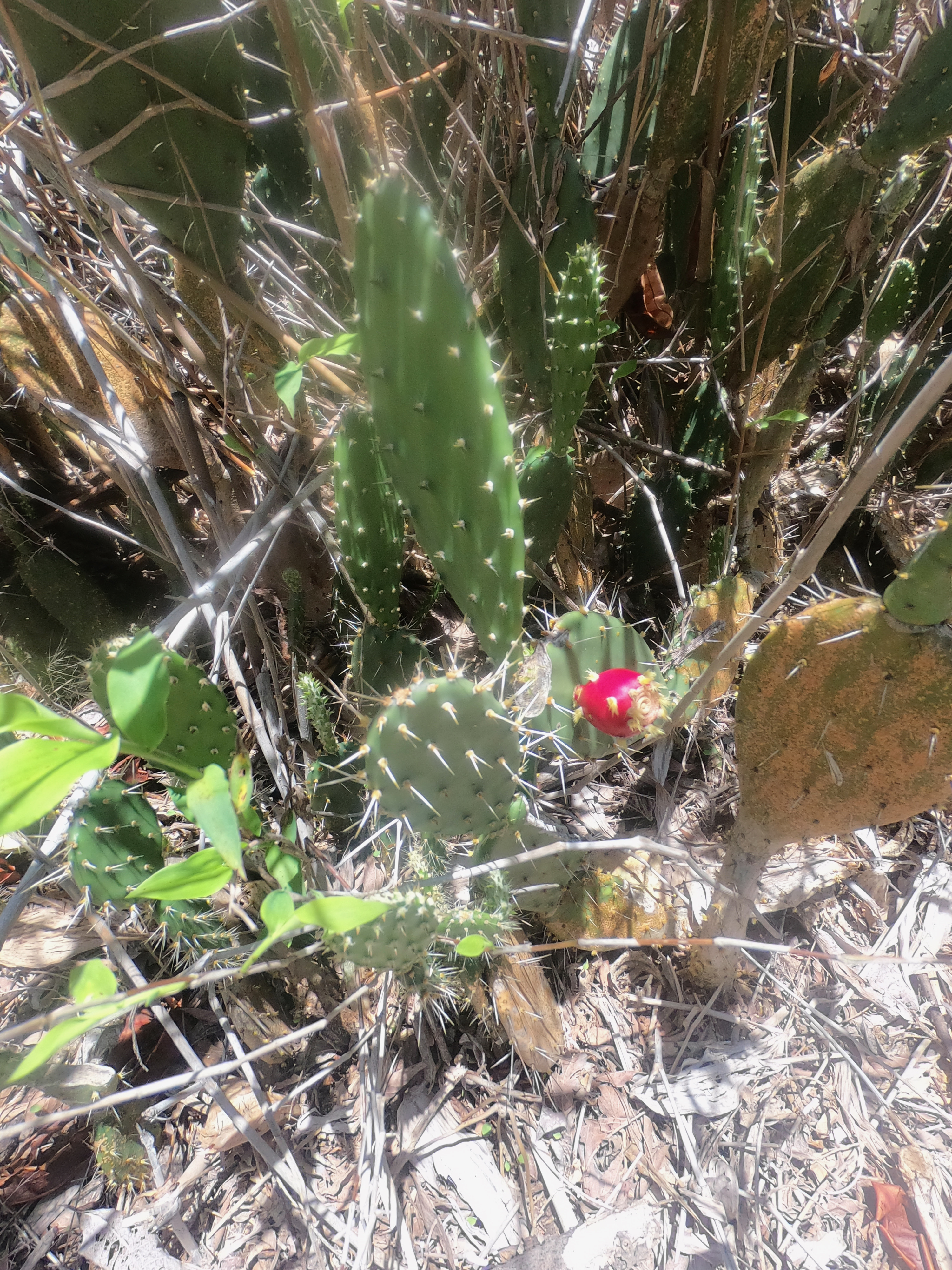
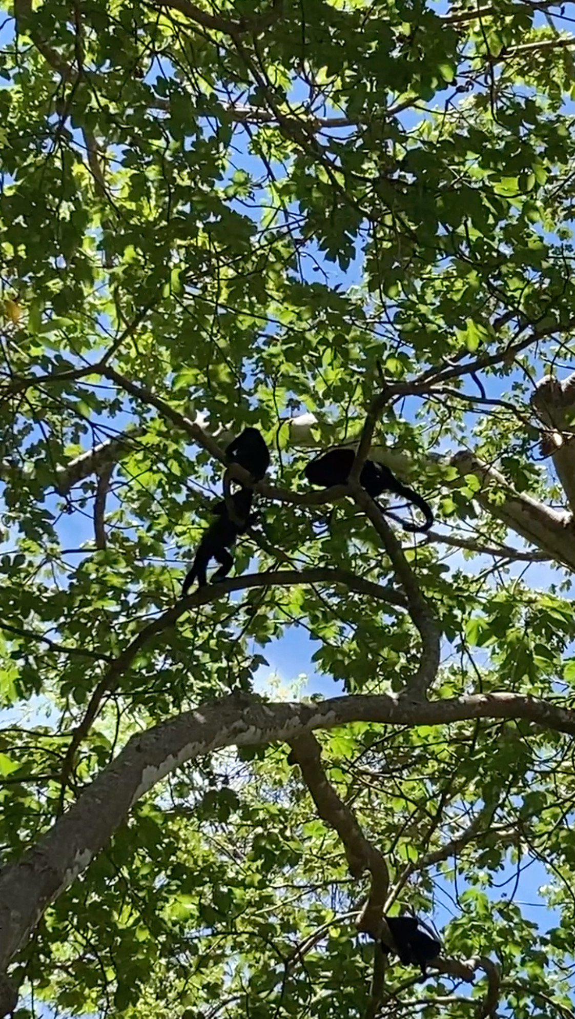
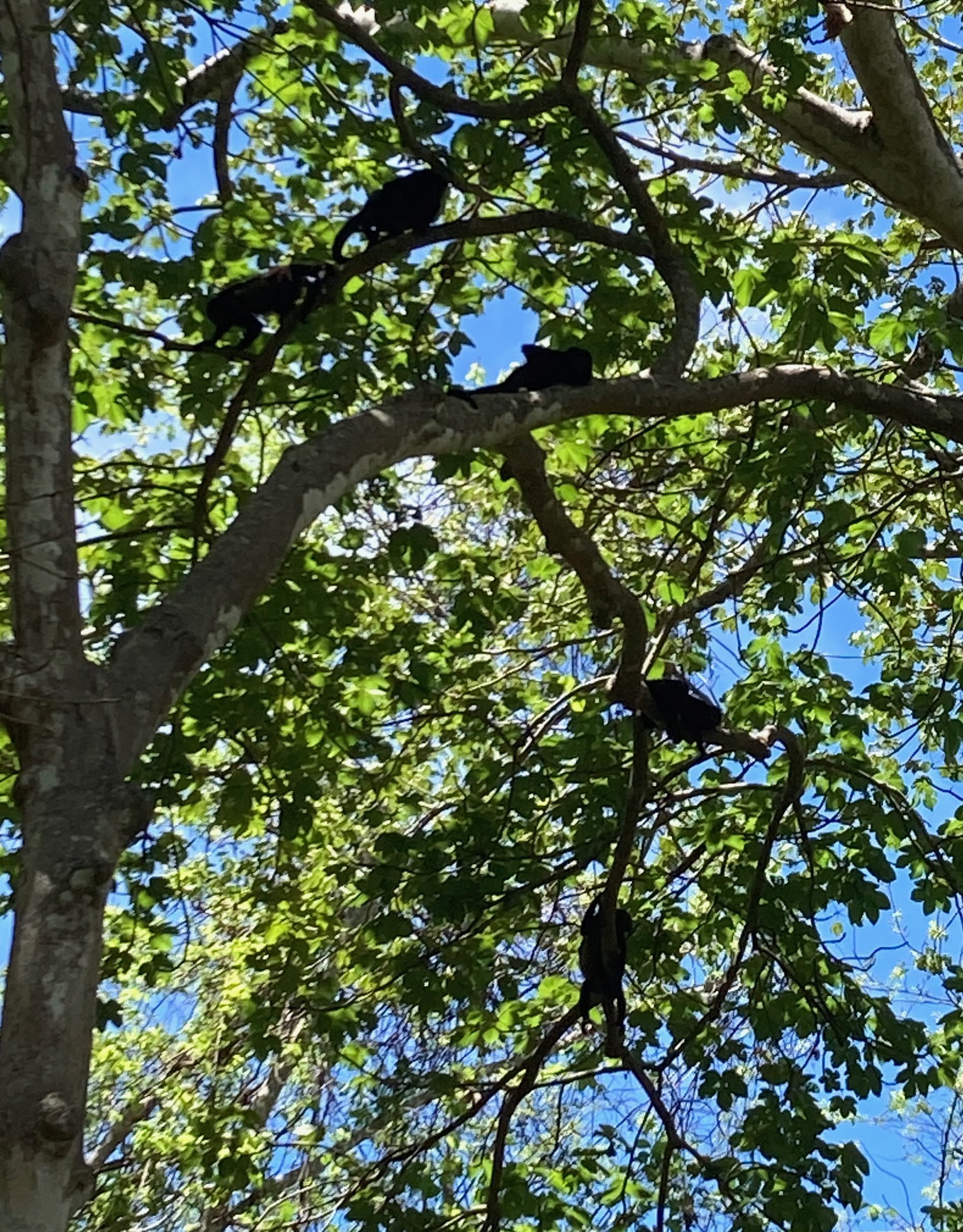
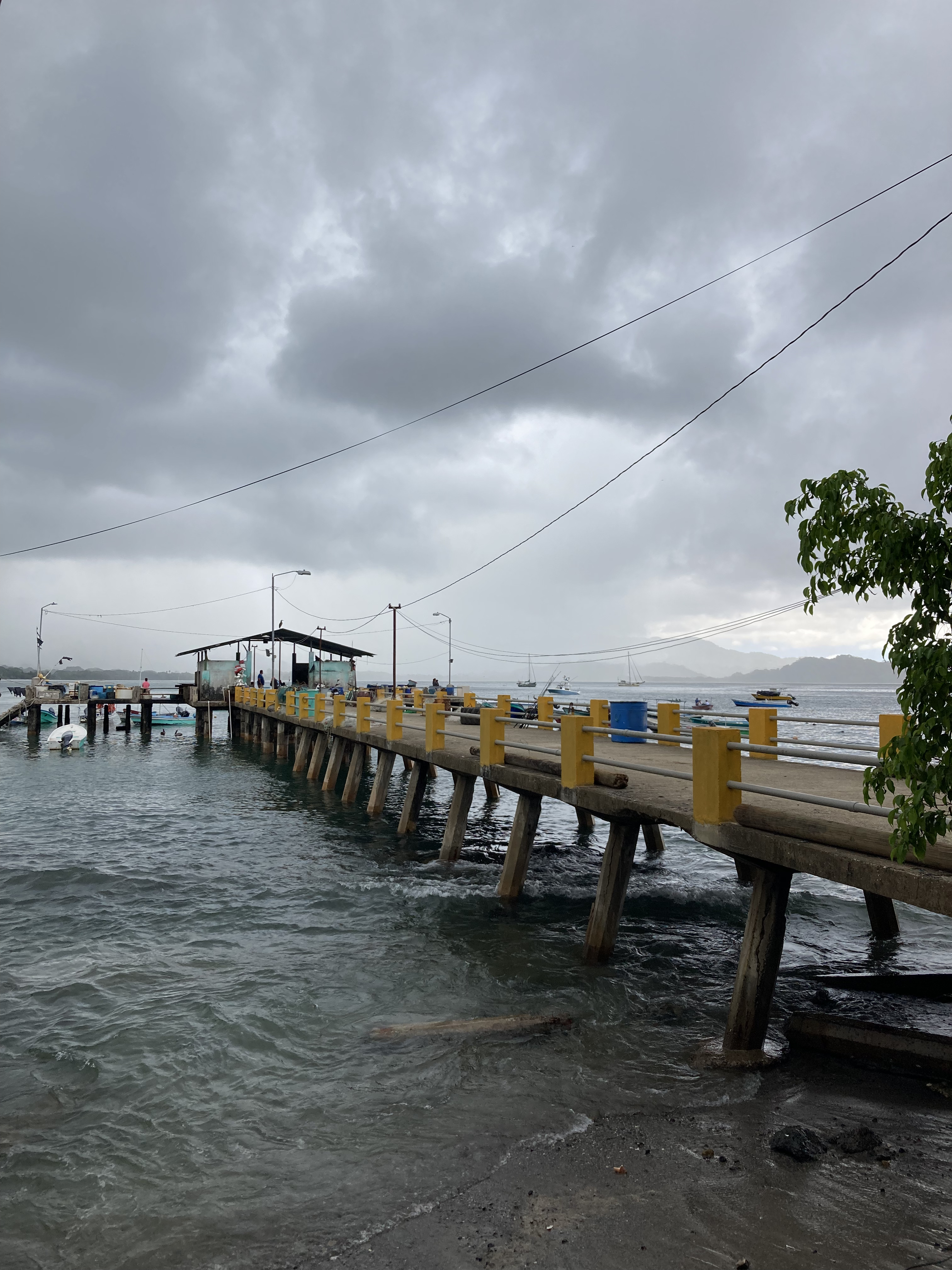
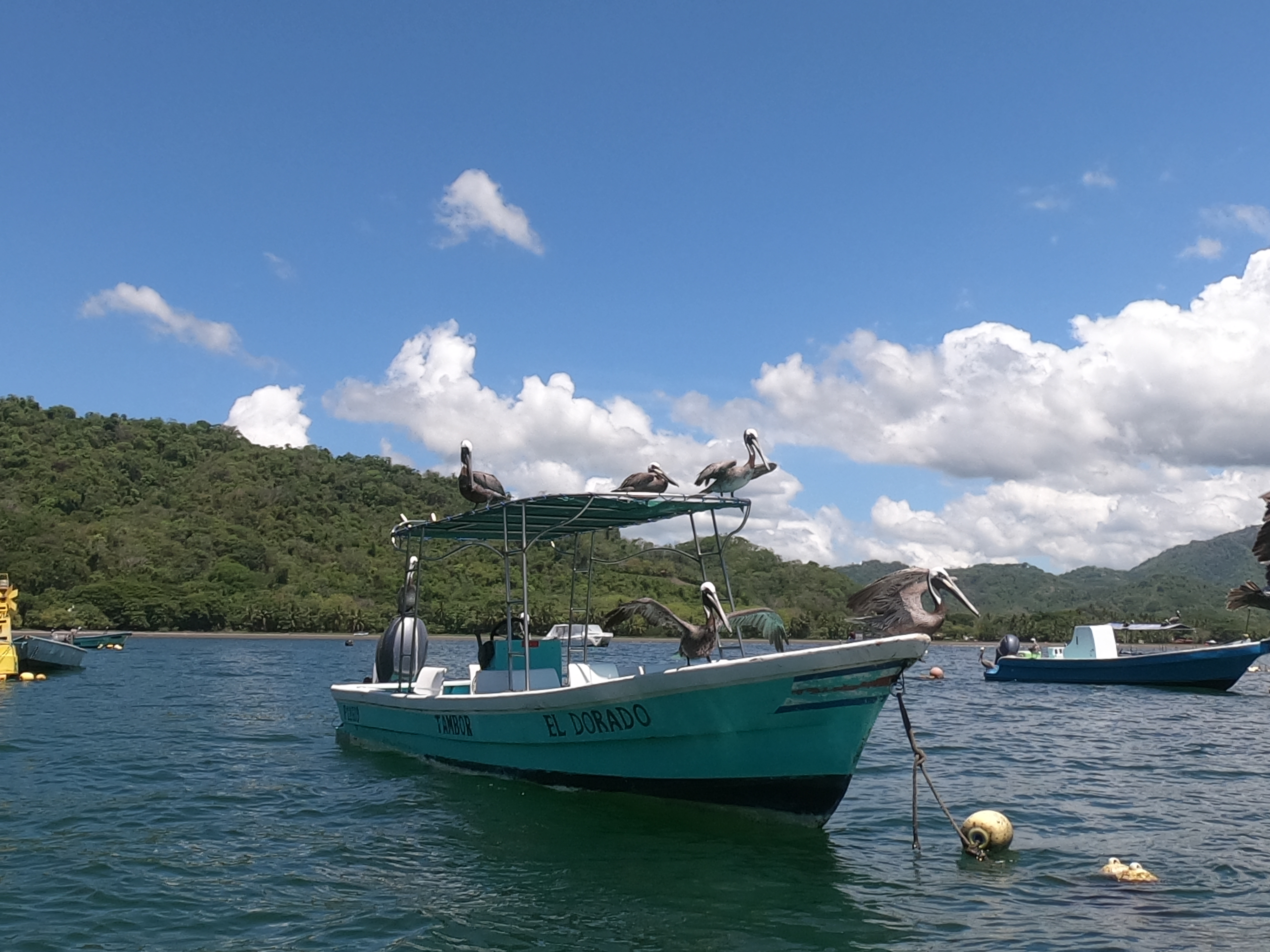
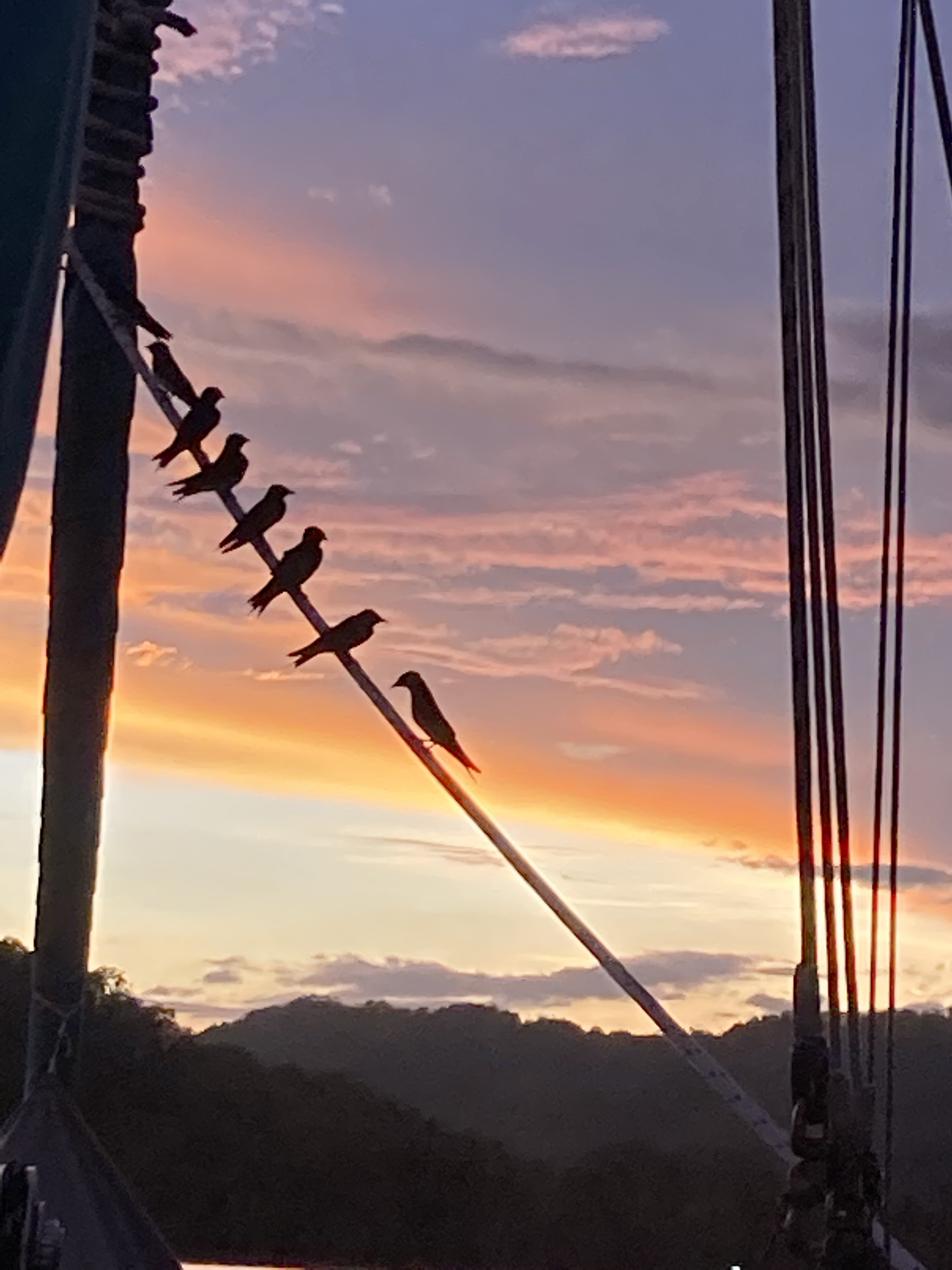
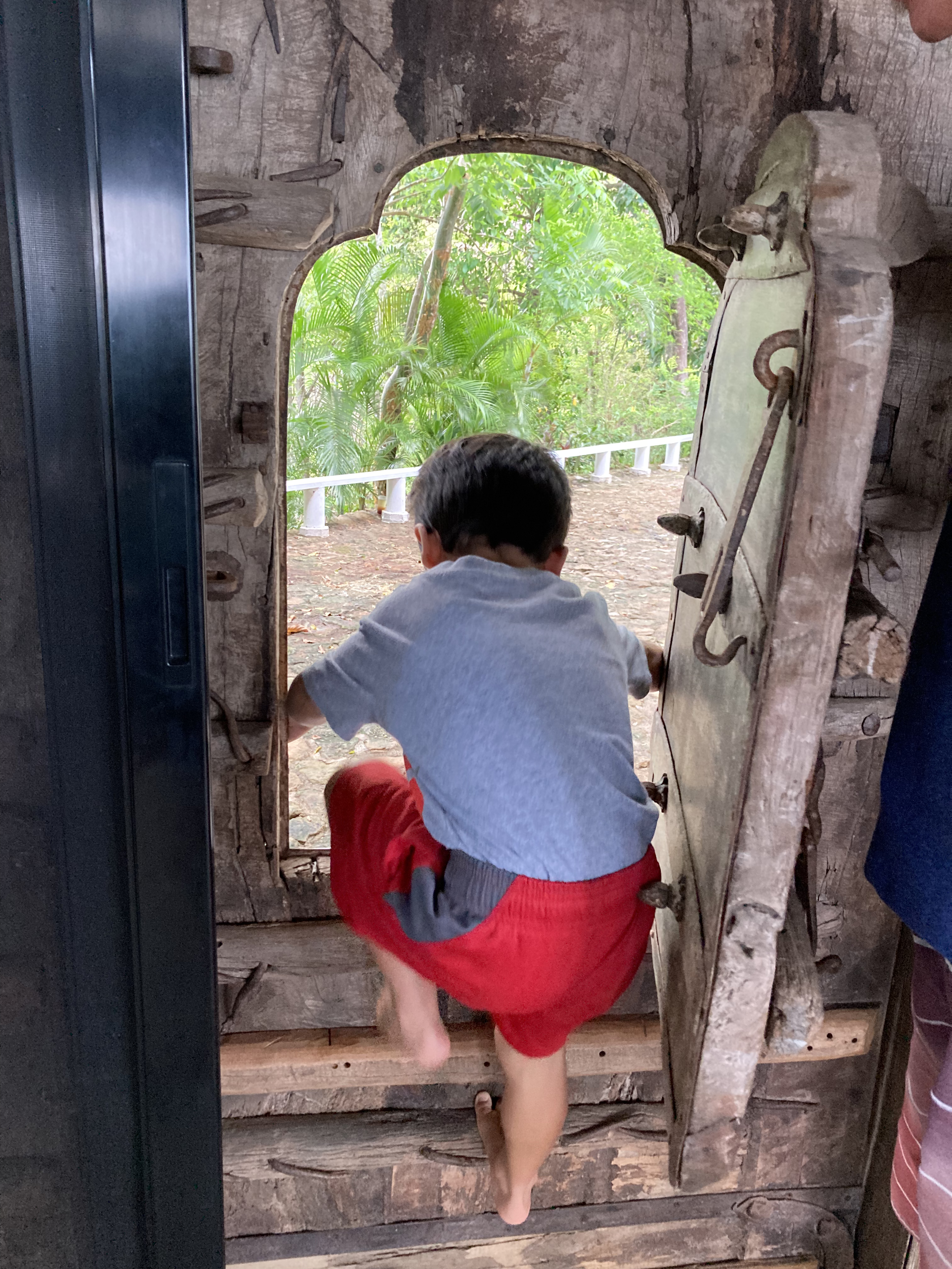
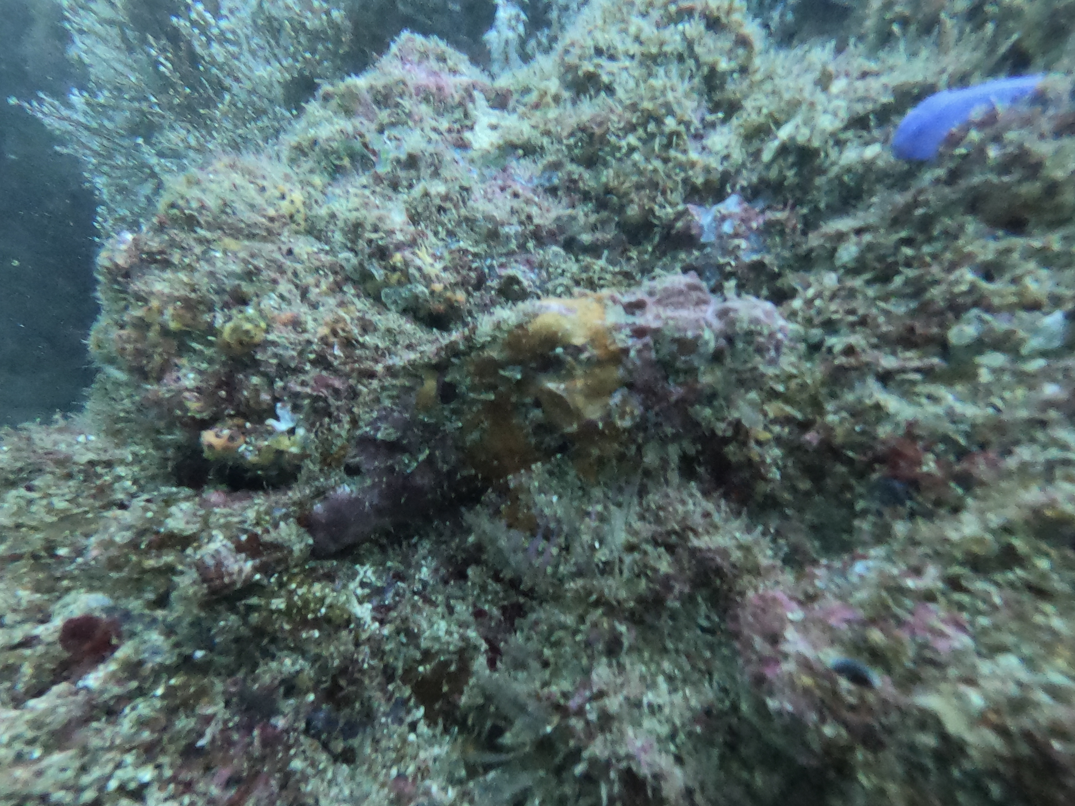
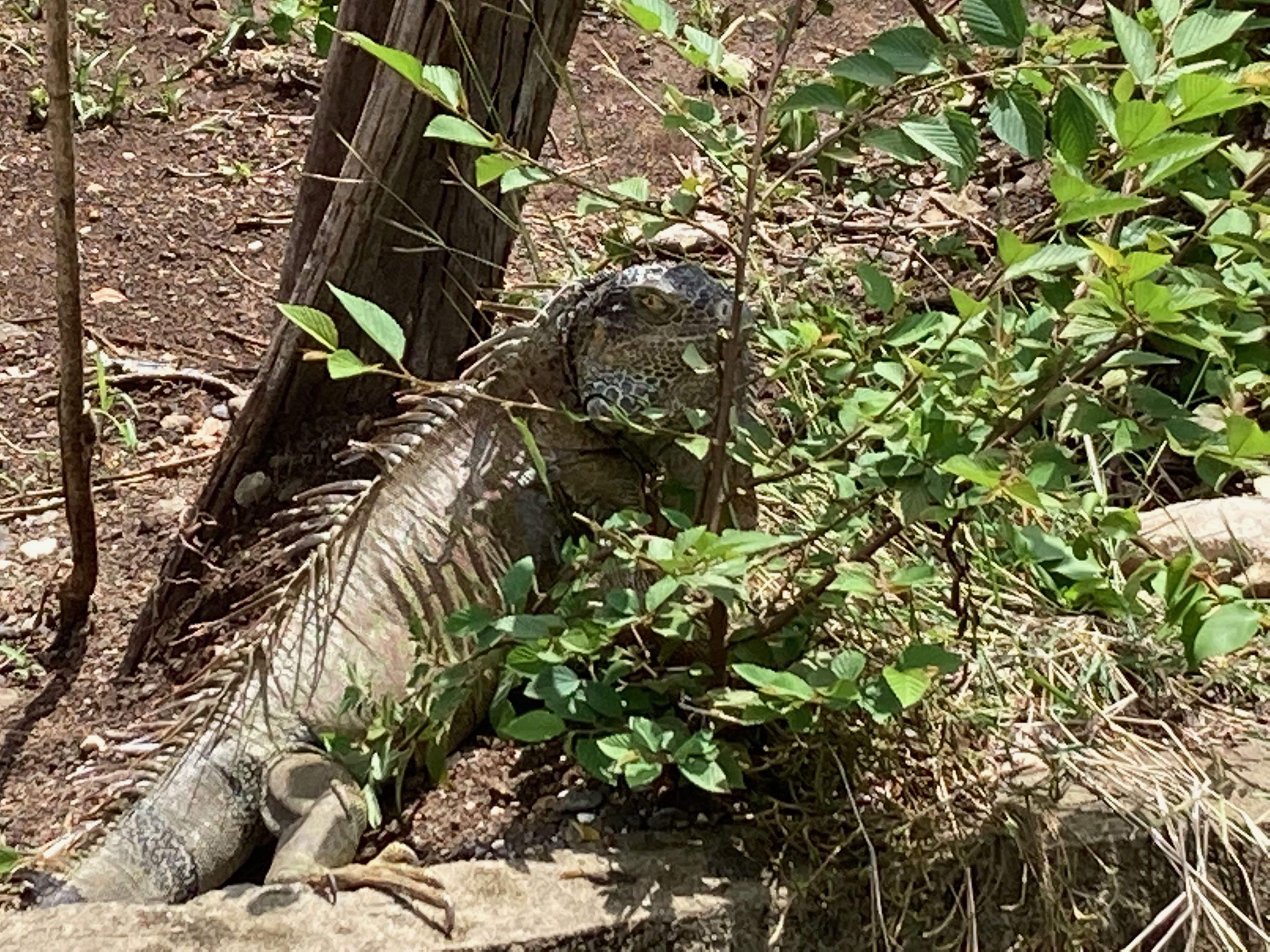
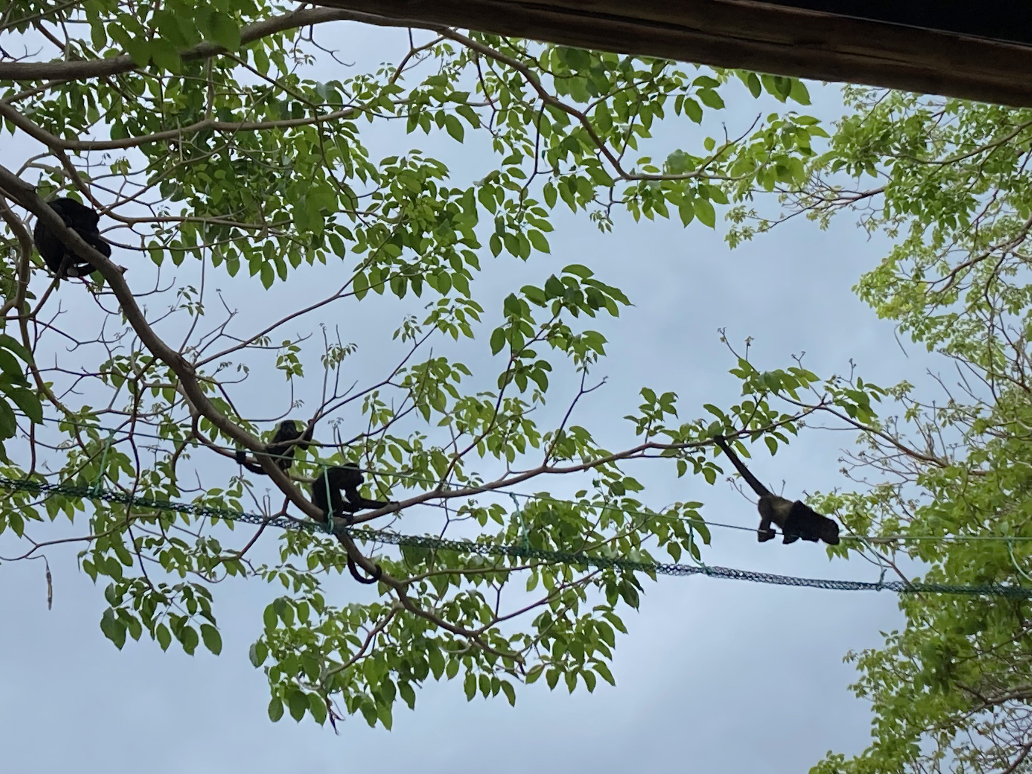
Random wandering photos…

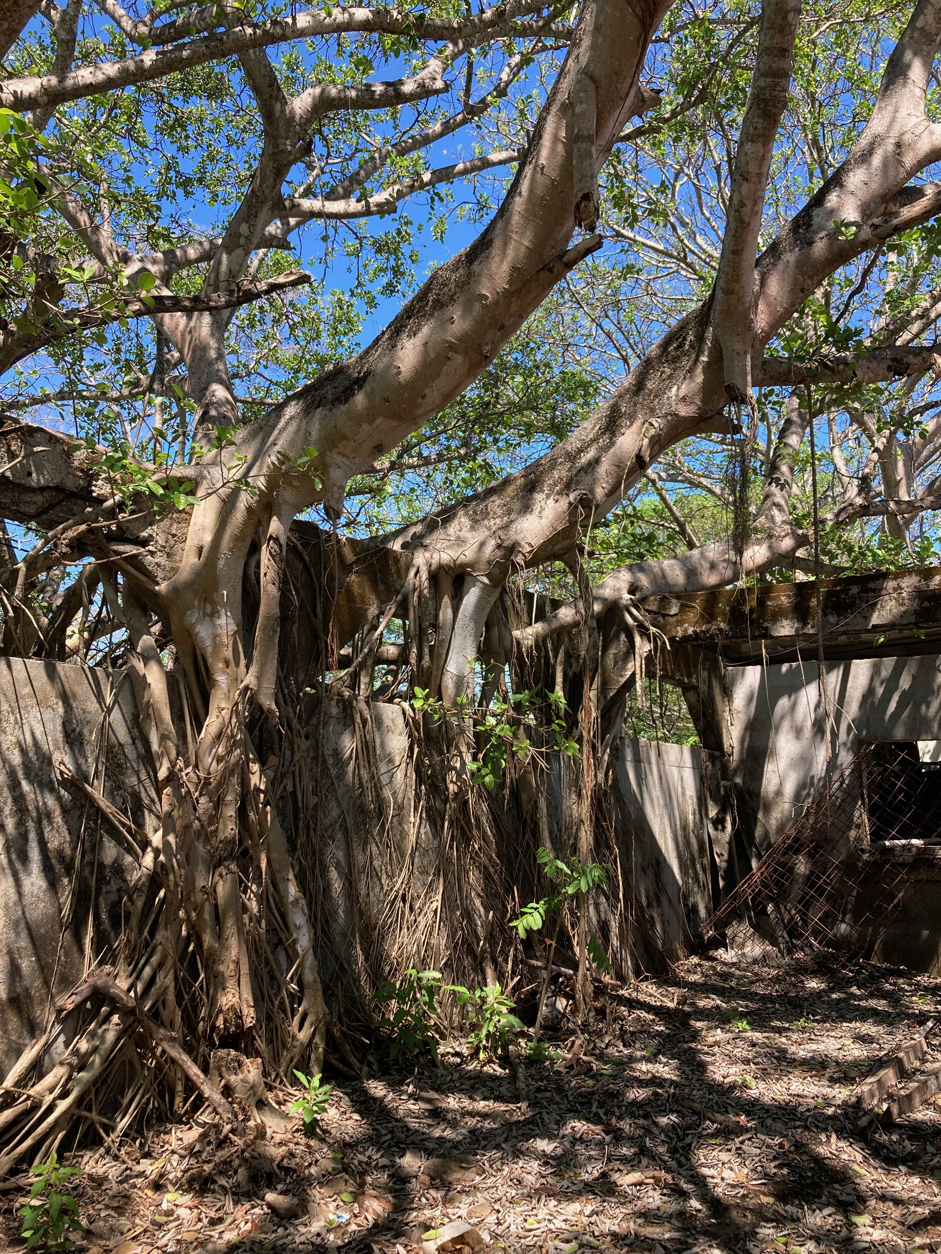

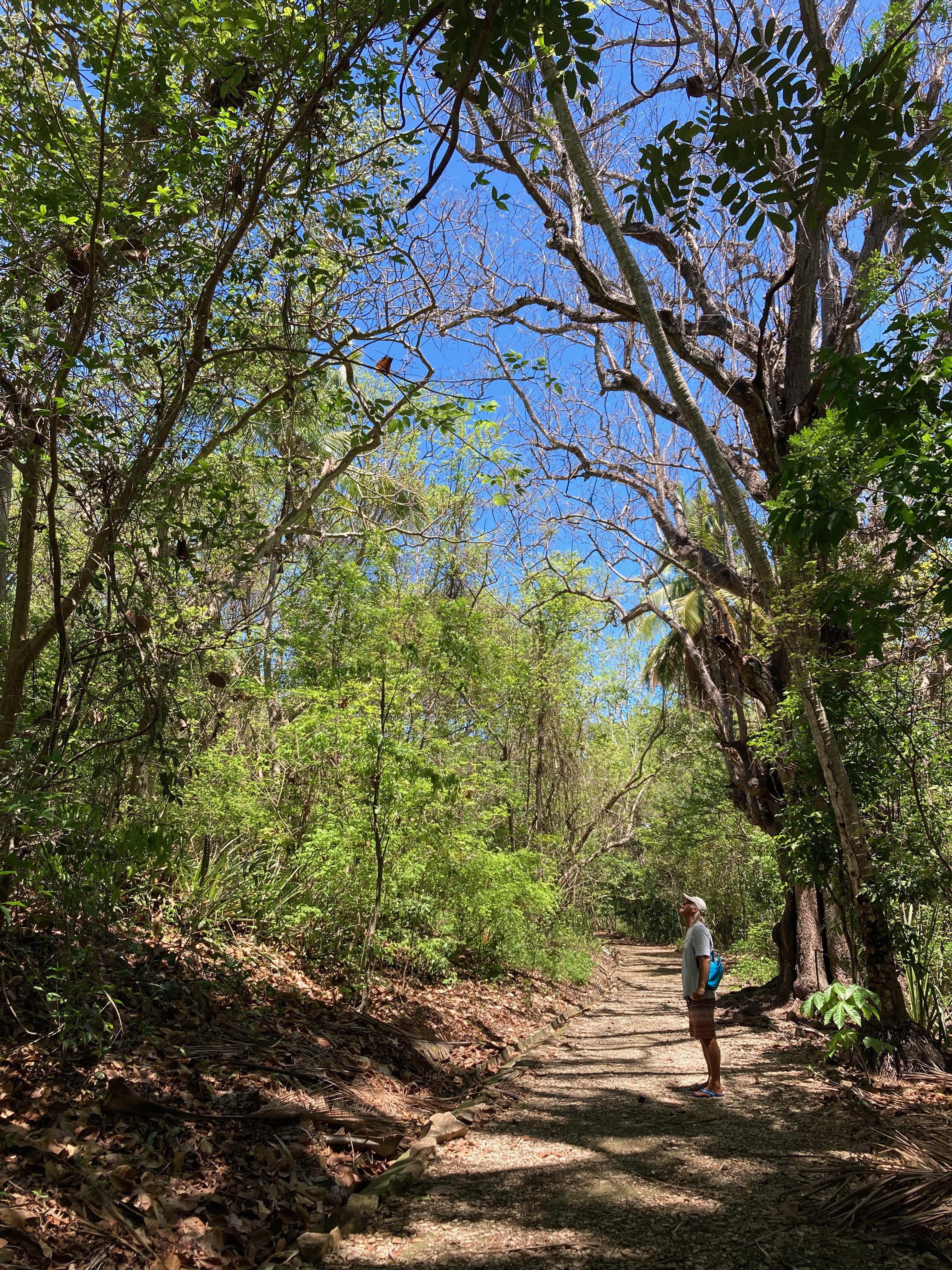
More than a dozen trails offer the potential for hours and hours of hikes around the island – a welcome counterbalance to the darkly morbid specter of the prison. However, the reality is that skyrocketing afternoon temperatures from an absolutely blistering sun typically quash the plans of all but the hardiest on walkabout.

With only a couple of cruising boats and a couple of day tour pangas in the bay for only a short time during our entire four day stay, we essentially had the entire calm and protected anchorage to ourselves. The visit to Isla San Lucas was well worth the stop.
To be honest, it’s the only way one wants to visit a prison… as a tourist.
Now, fresh outta prison – it’s a story often heard. It was time to drift back into orbit with our old Junkie friends.
Junkie Reunion
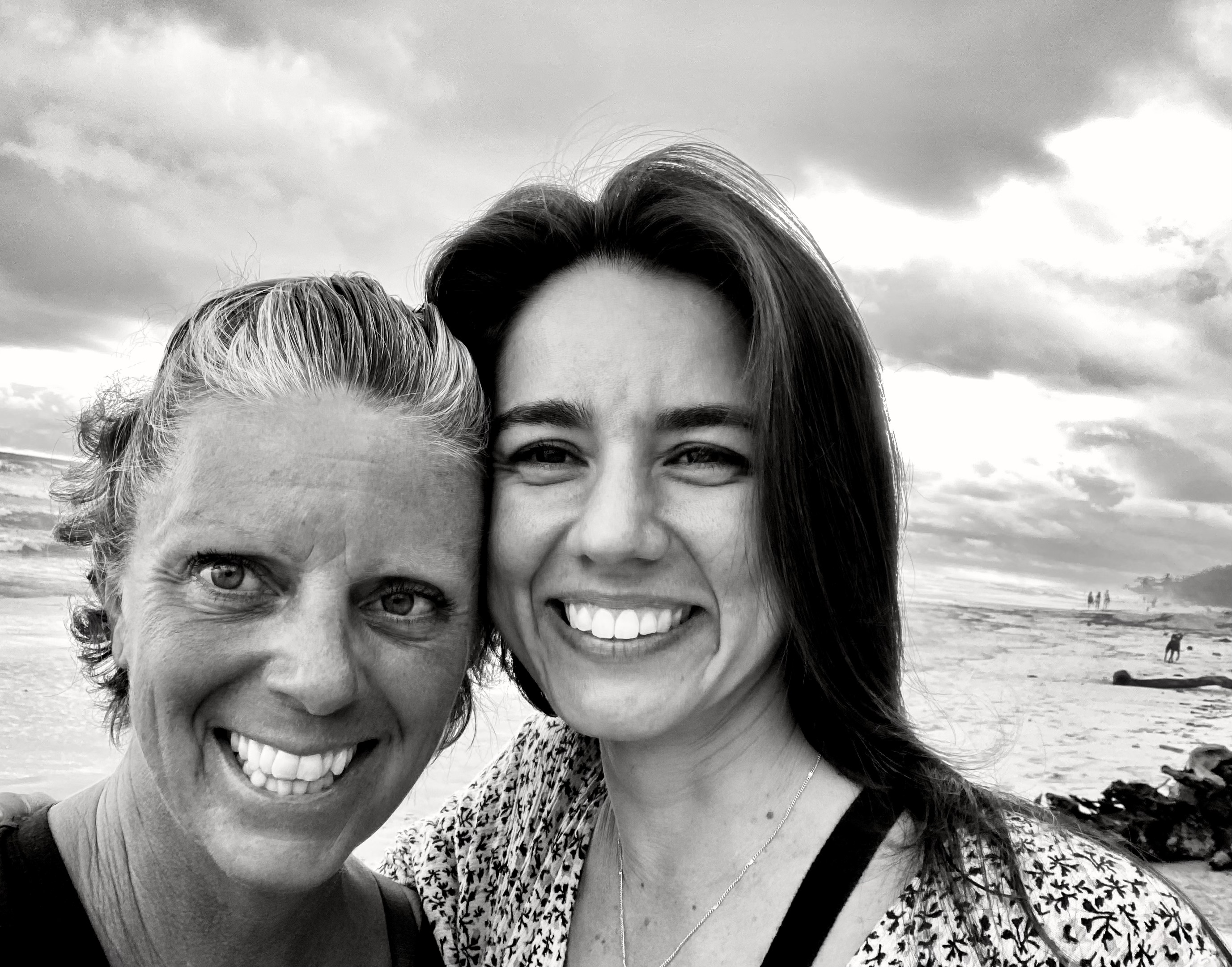
Long before our arrival in Costa Rica, we knew one of our top priorities would be a Junkie reunion. Cindy and Juan, two of our Divemaster students over ten years ago from our days working at Scuba Junkie in Borneo, now lived in Santa Teresa – a small surfing and tourist destination along the coast. We would be sailing right by.
While many of our previous students had gone on to work in the scuba diving industry, Cindy and Juan were the only ones we were aware of who had gone on to own their own dive shop. This was a Junkie reunion that couldn’t be missed.
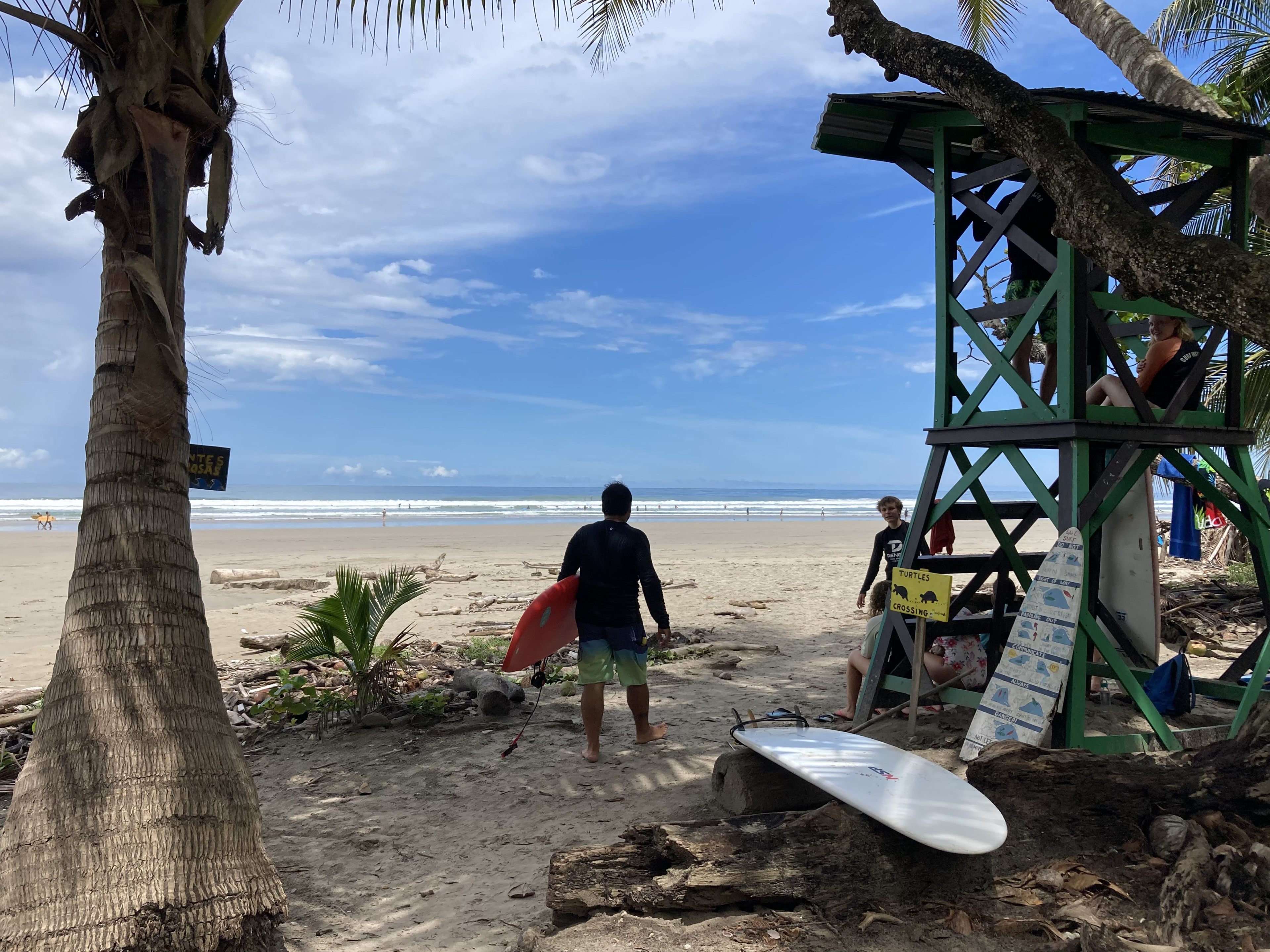
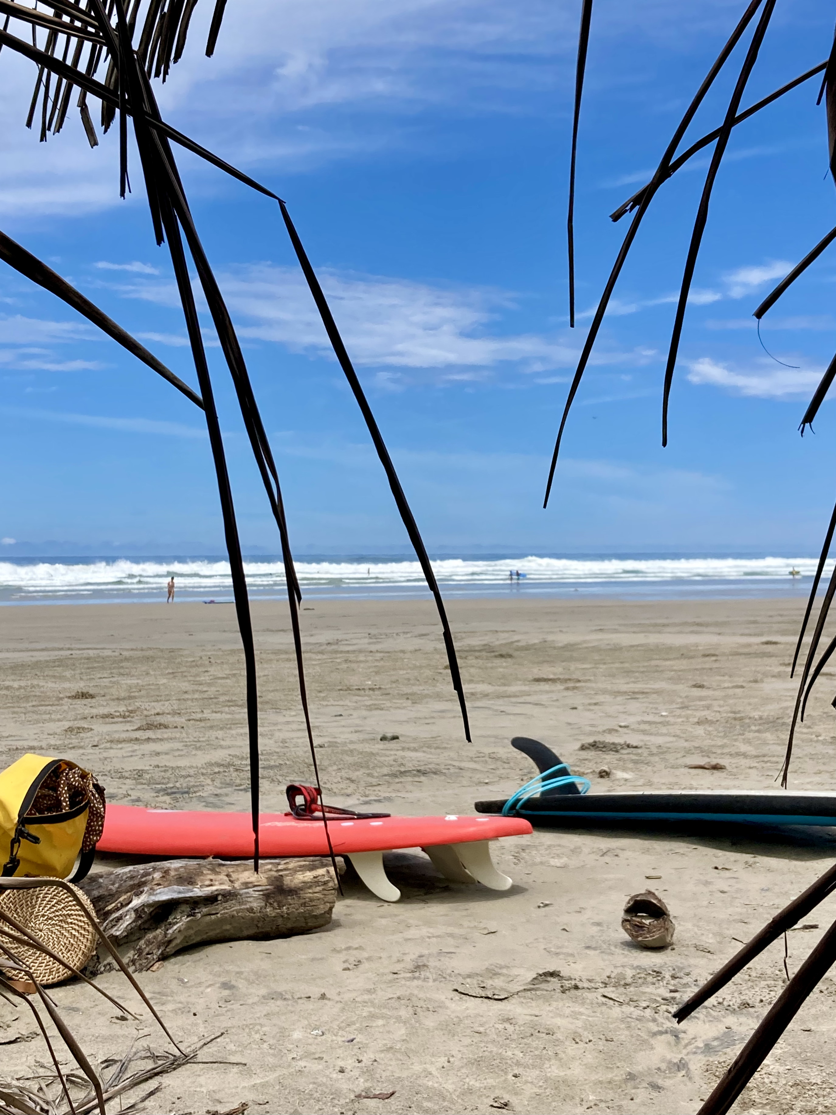
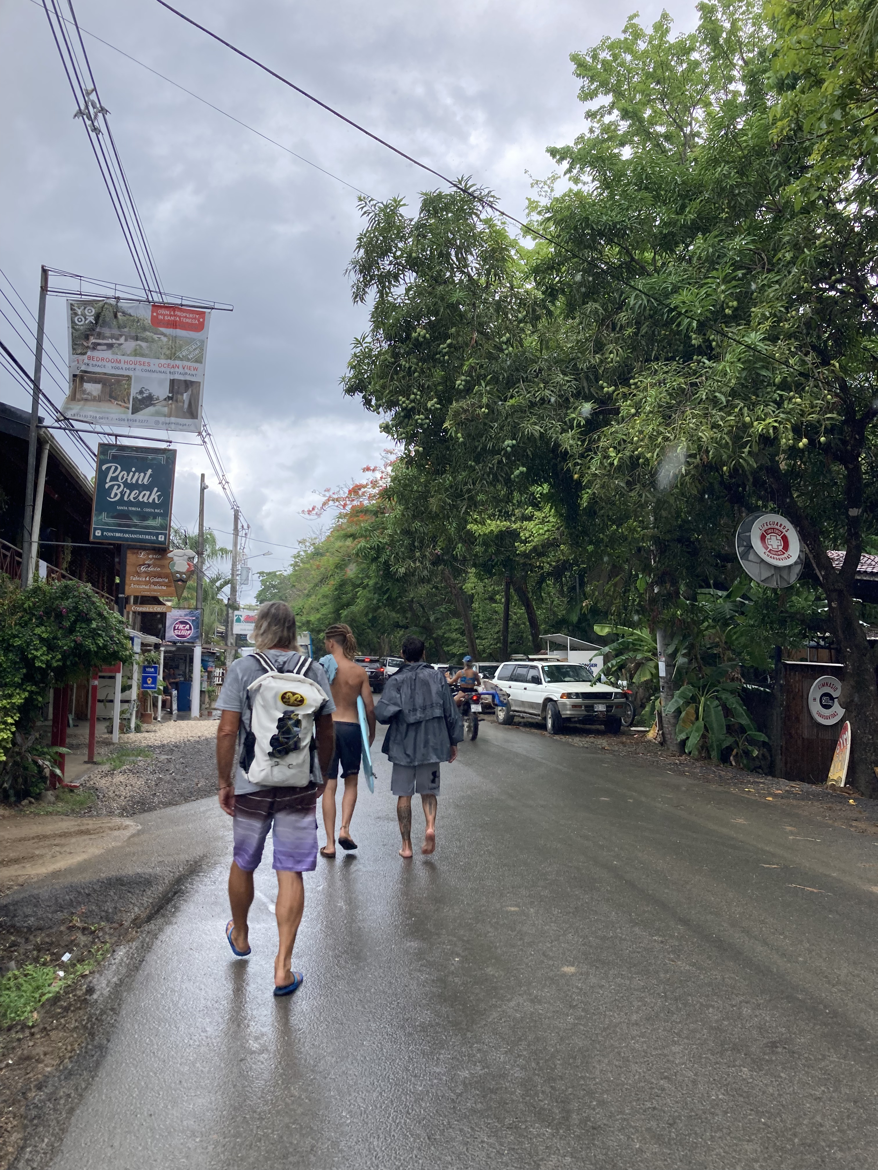
The beach off of Santa Teresa is a really popular surfing spot. Big waves = no dinghy option. And the whole coast was completely unprotected as an anchorage which meant there was no way we could safely leave our boat unoccupied at anchor. We found a small fishing village, Tambor, in a very protected bay called Bahia Ballena on the opposite side of the peninsula, within about a one hour drive from Santa Teresa.
Another sailboat was anchored there as well; and we befriended them enough to feel comfortable leaving Exit at anchor for a few days with eyes upon her and a WhatsApp contact if trouble arose. After a dinghy ride to the cement dock used by the local fishermen (far too scary for us to tie up to) and a brief conversation with one of the fishermen on the dock, we were able arrange a ride with one of the fishermen between our boat and the dock.


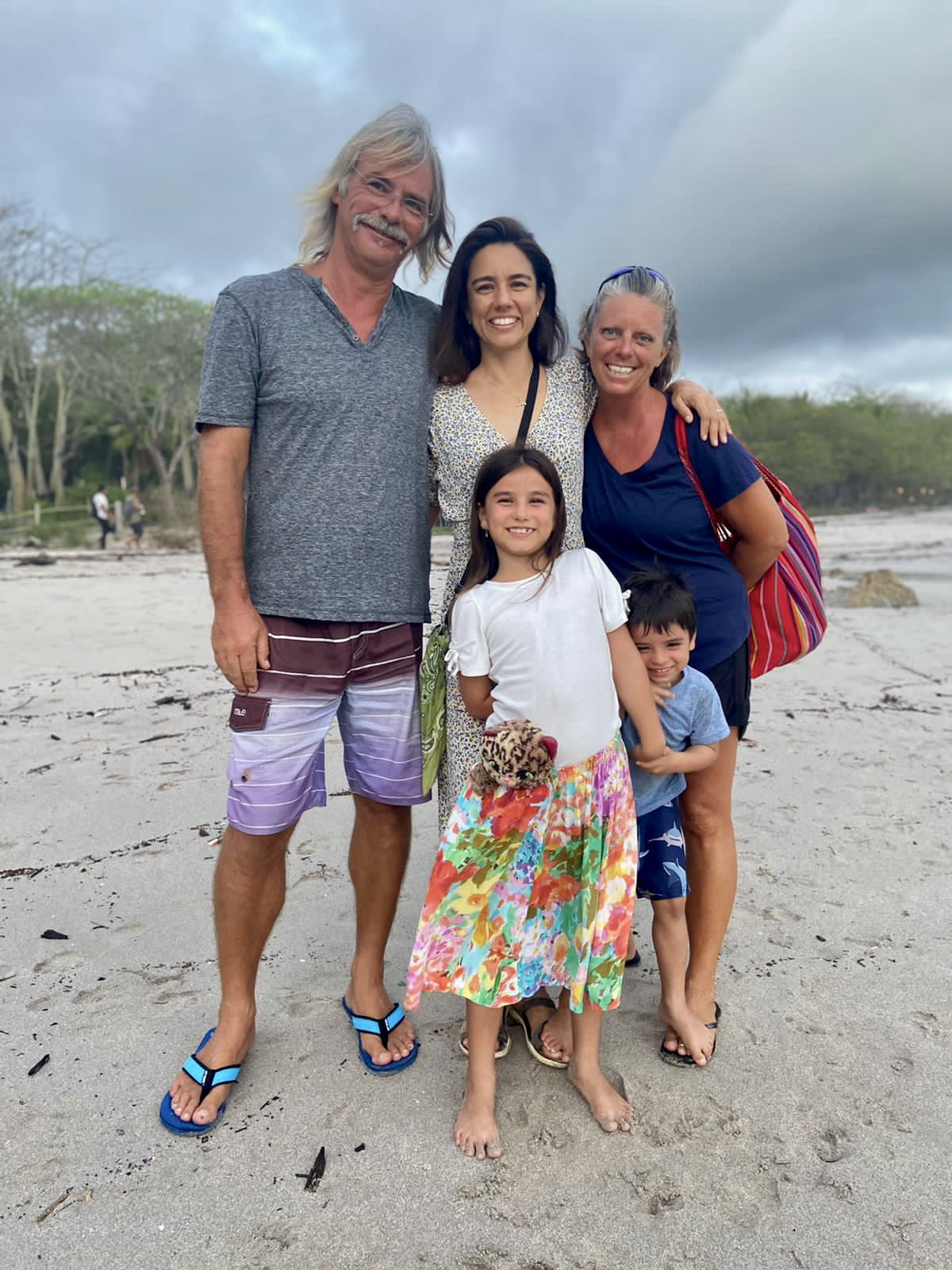
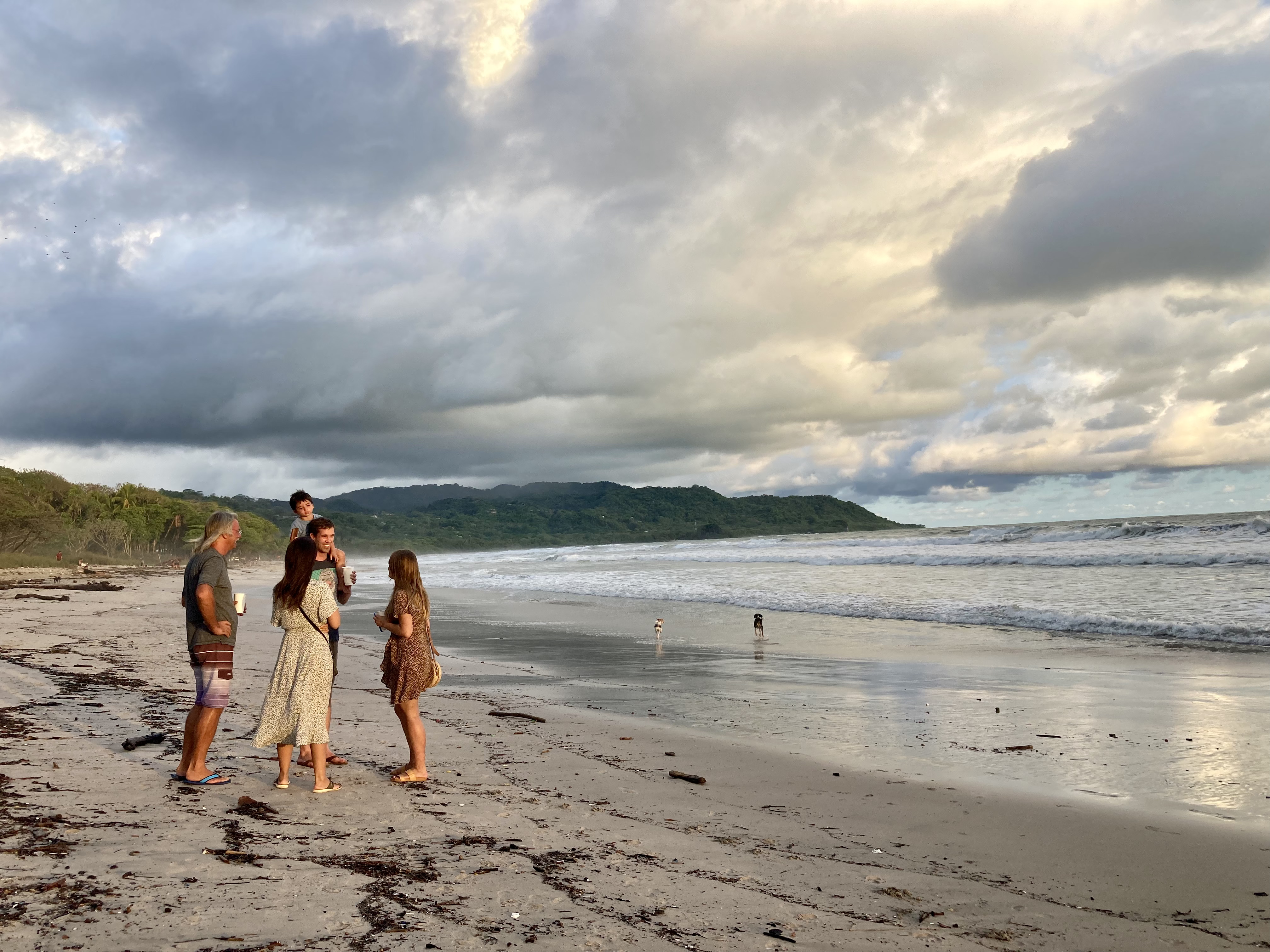
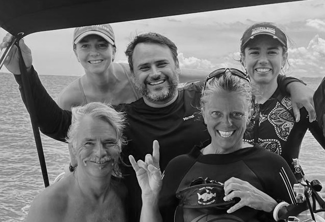
The logistics weren’t easy but, in the end, we were ecstatic to have figured it out. Cindy and Juan were fabulous hosts. It was as though ten days had passed since we saw them rather than ten years.
In addition, we had the opportunity to meet their two incredible kids, Marina and Bruno, for the first time, as well as two other diving friends of theirs, Tim and Barbara.
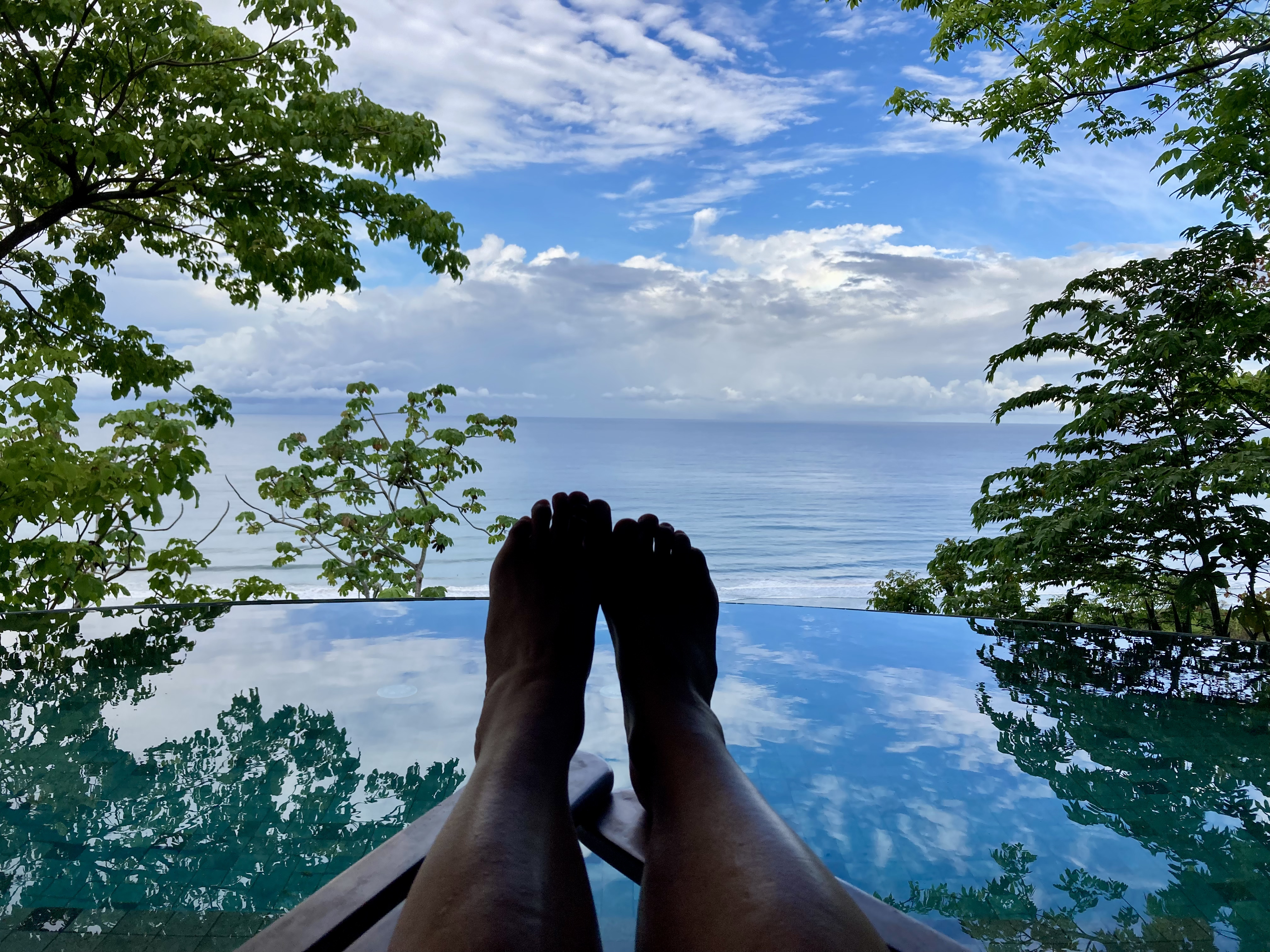
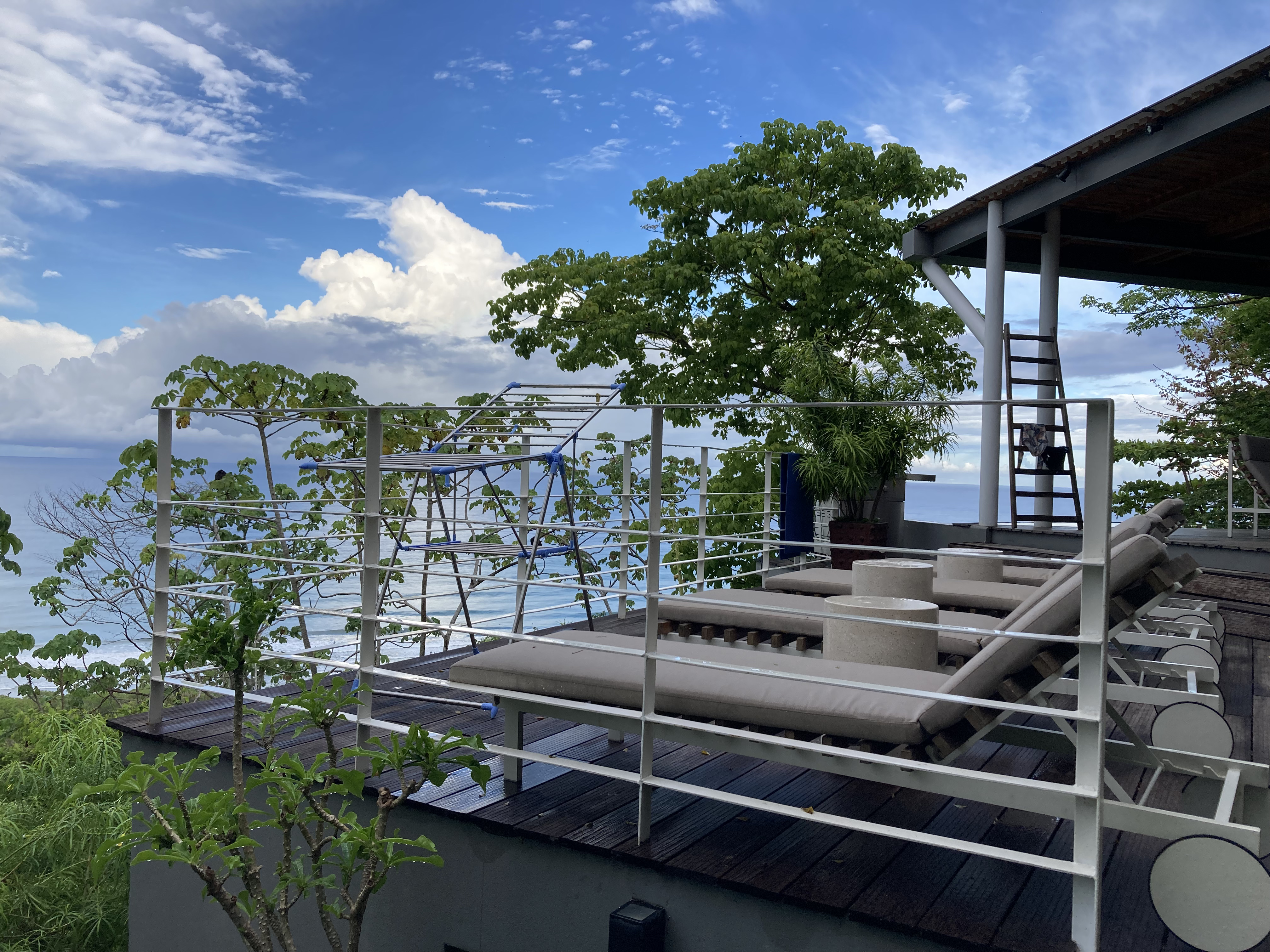
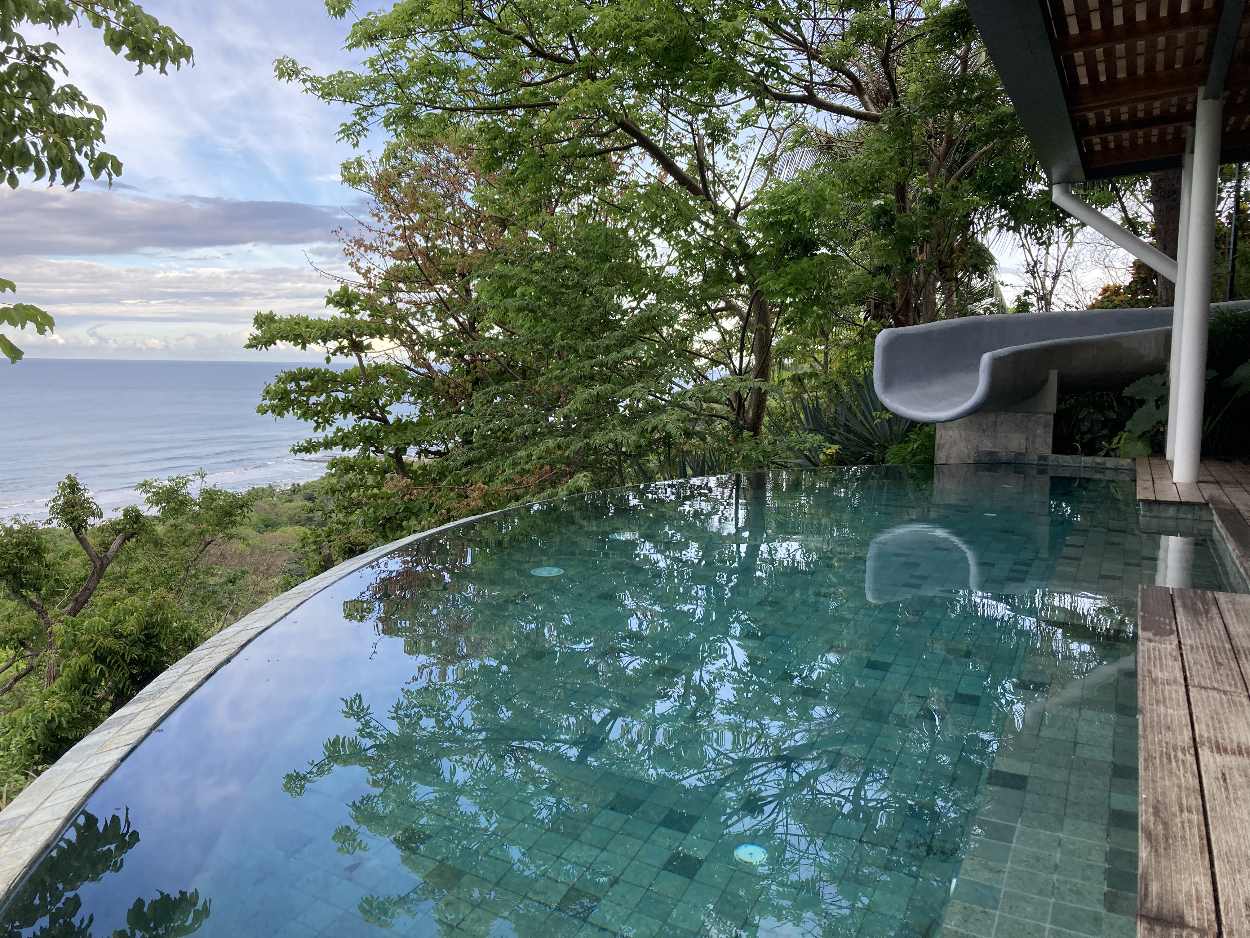
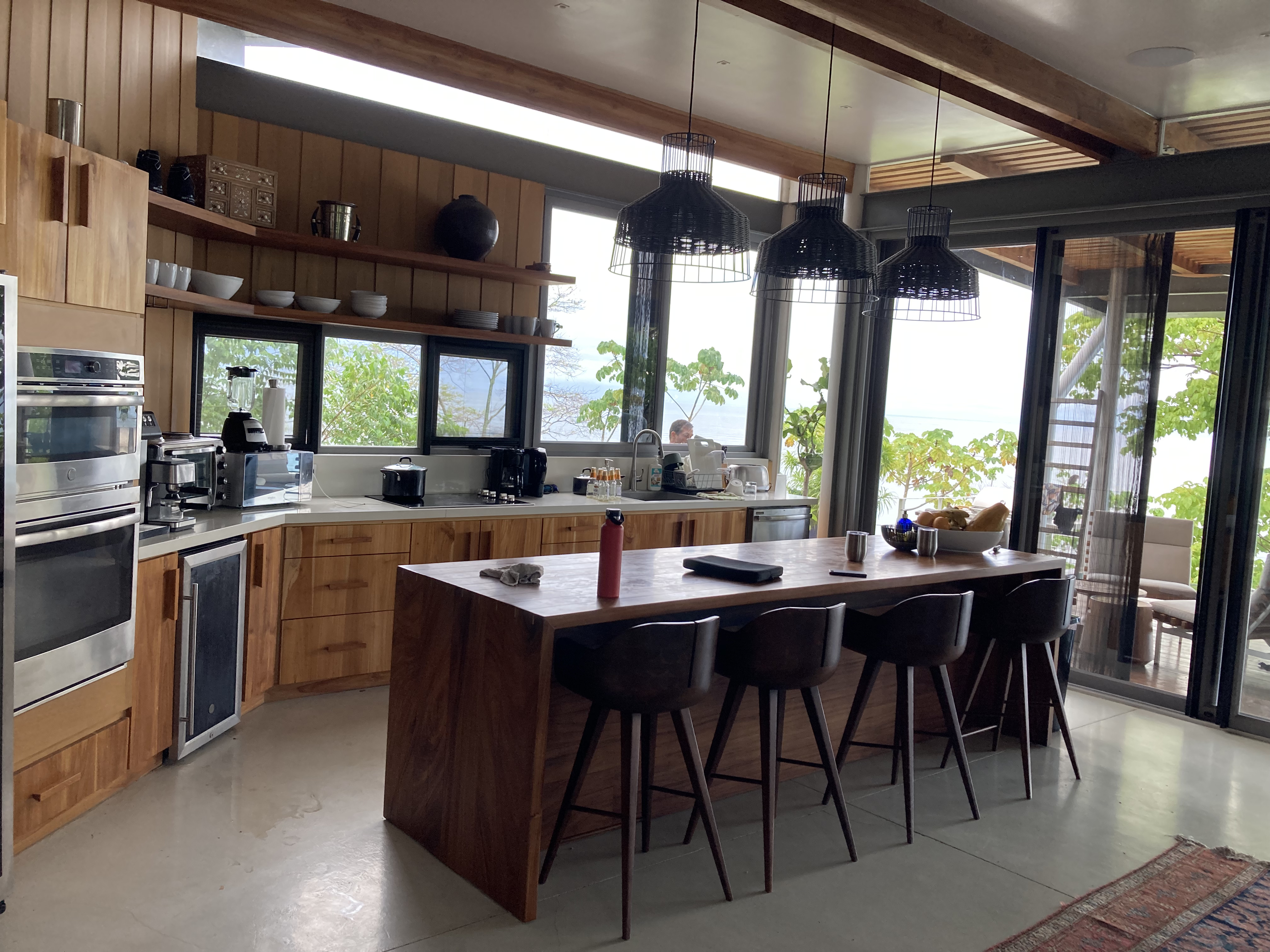
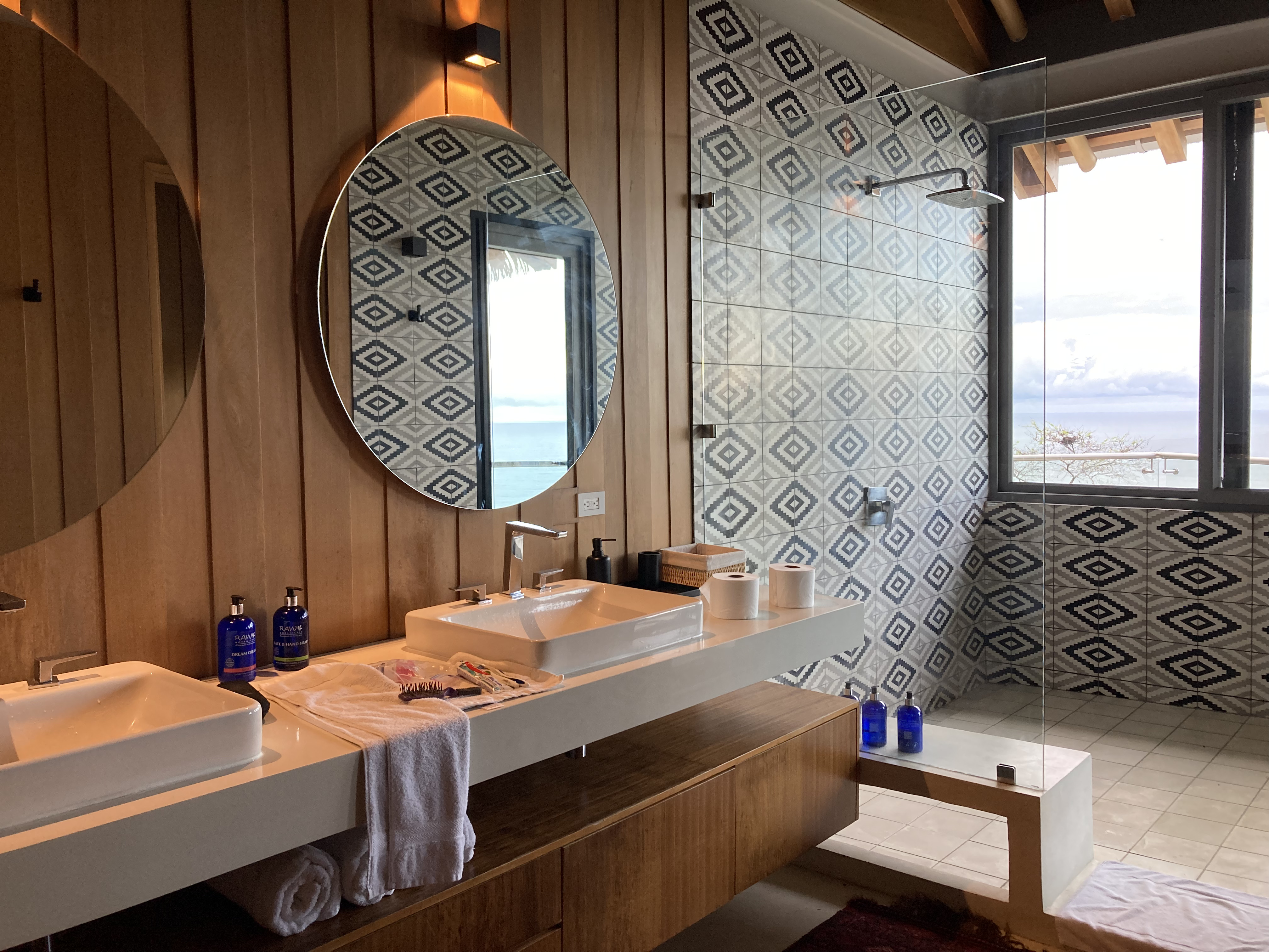
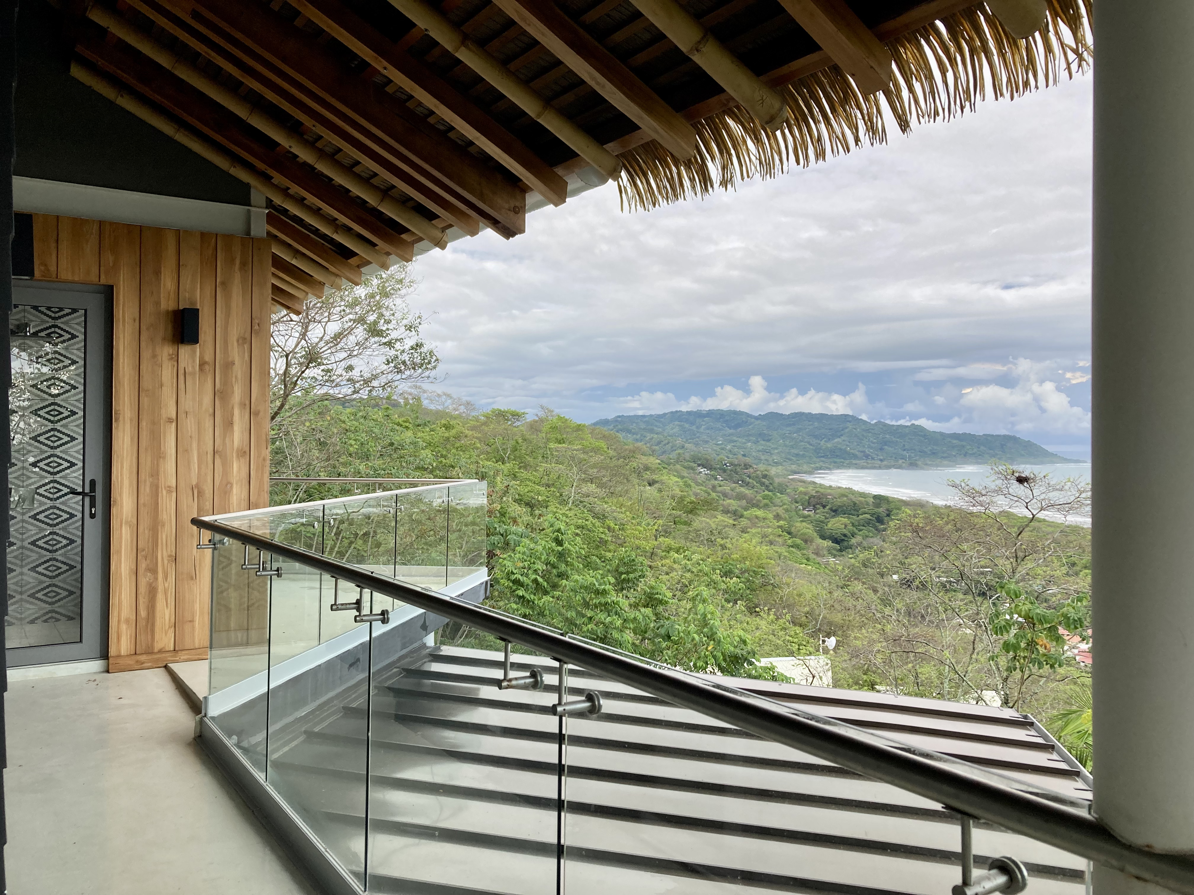
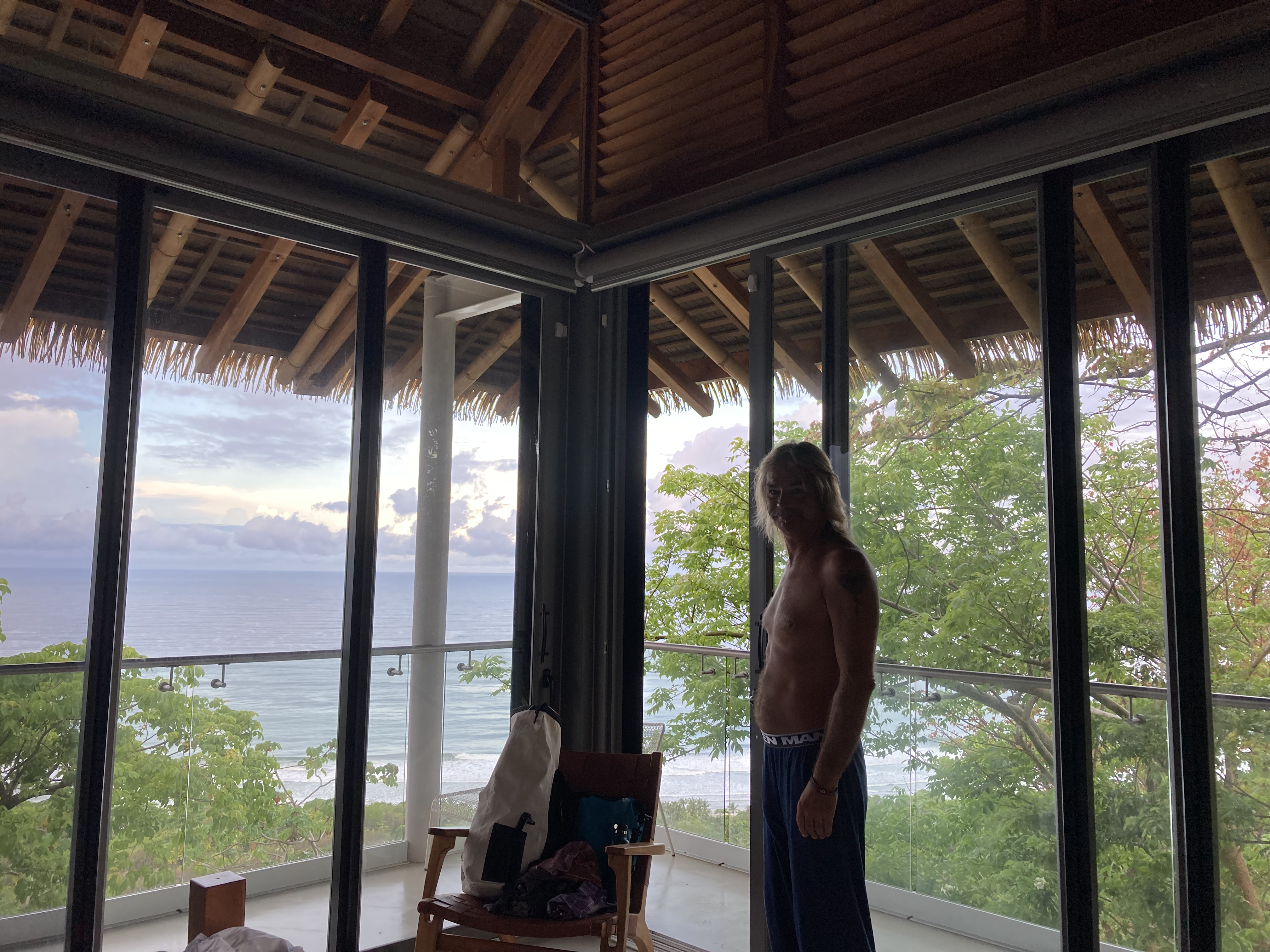
We were astonished to learn they had managed to arrange for us all to stay at a property which provided a base of operations unlike anywhere we could have imagined. Fortunately, the thousand dollar per night rate was waved! The place was decadent; the view was wondrous.
Sometimes it pays to know someone who knows someone…

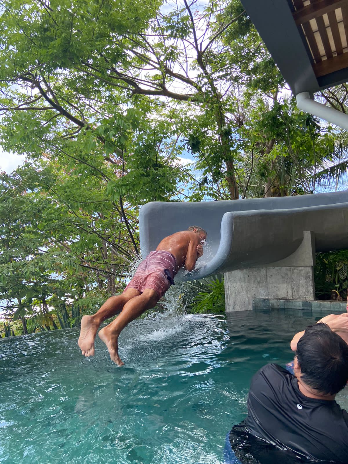
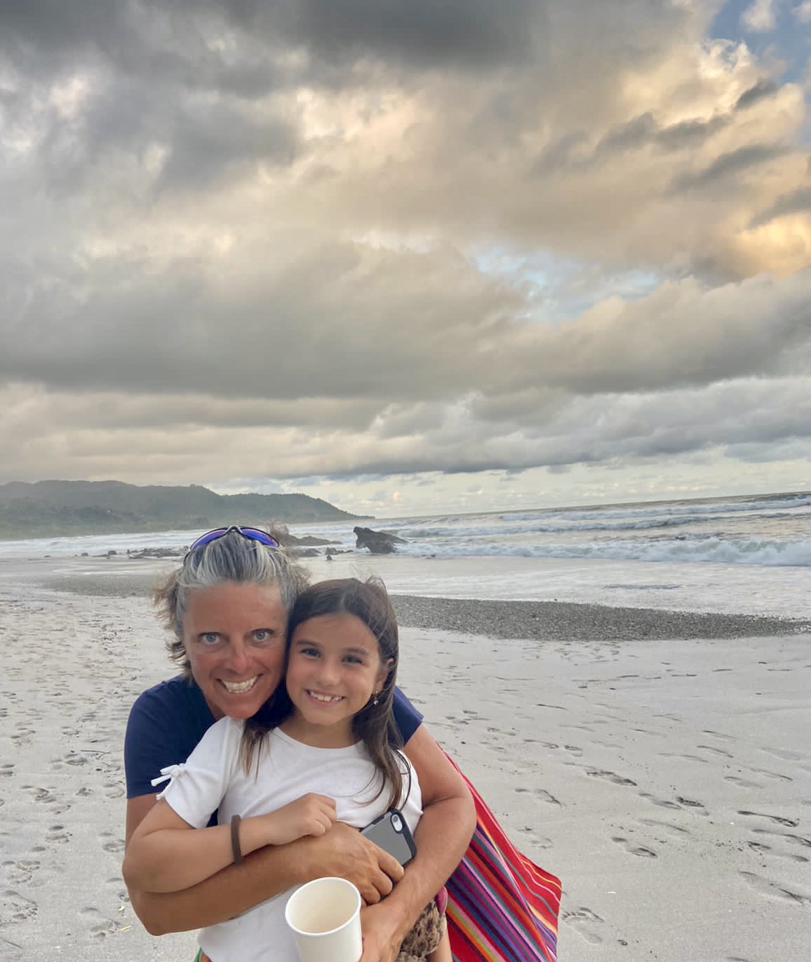
The nearby beach, at the bottom of the treacherous hill our house was perched upon, provided an afternoon’s entertainment of socializing and even attempted surfing.
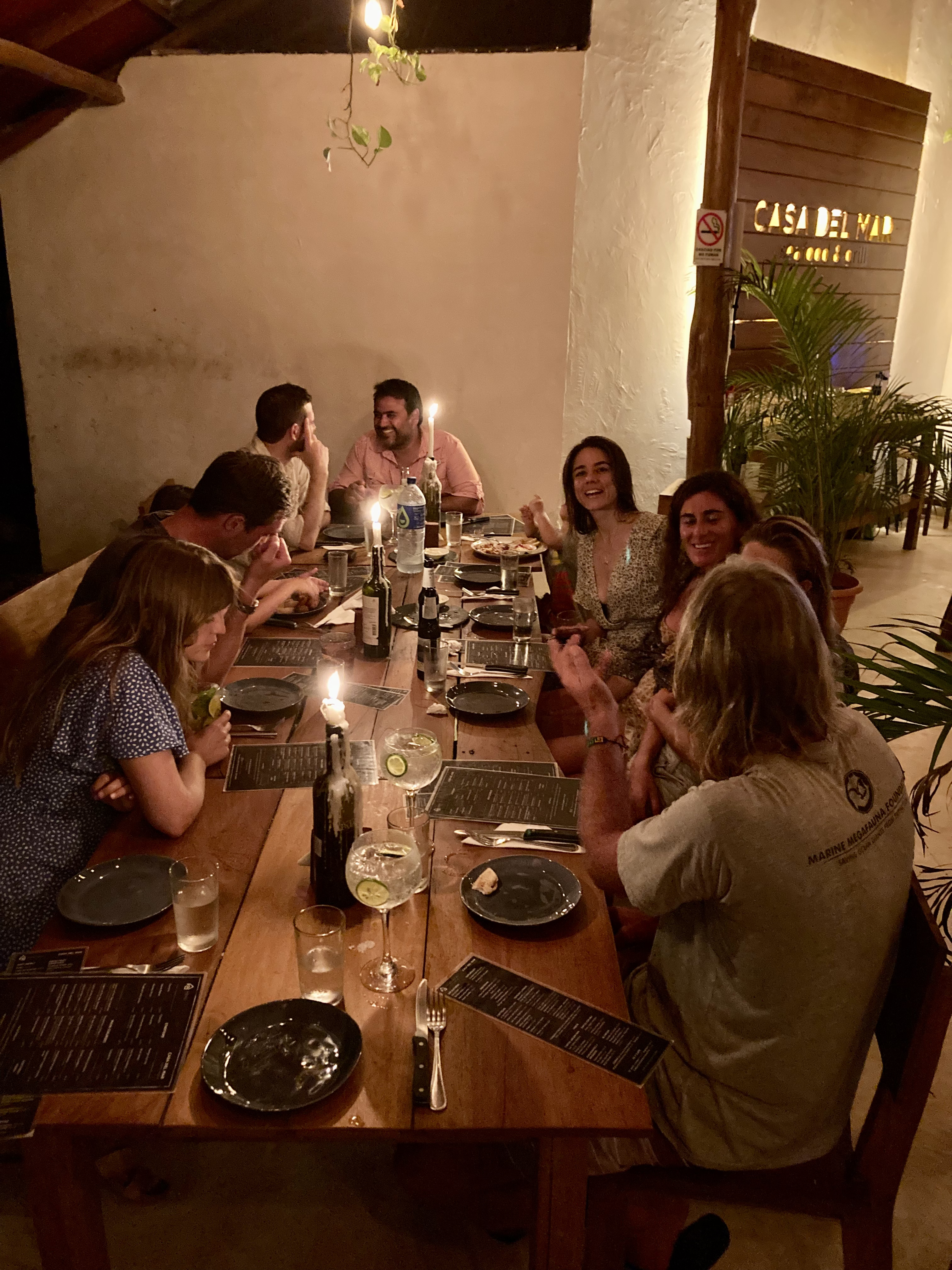

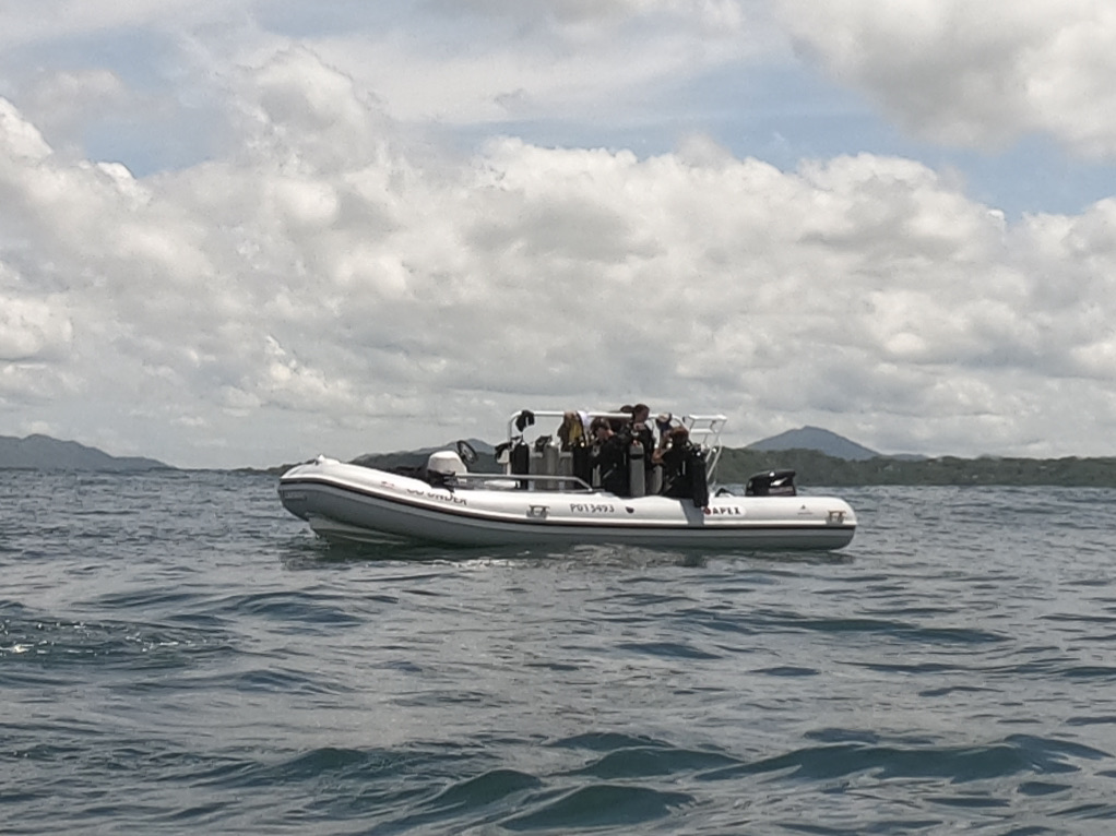
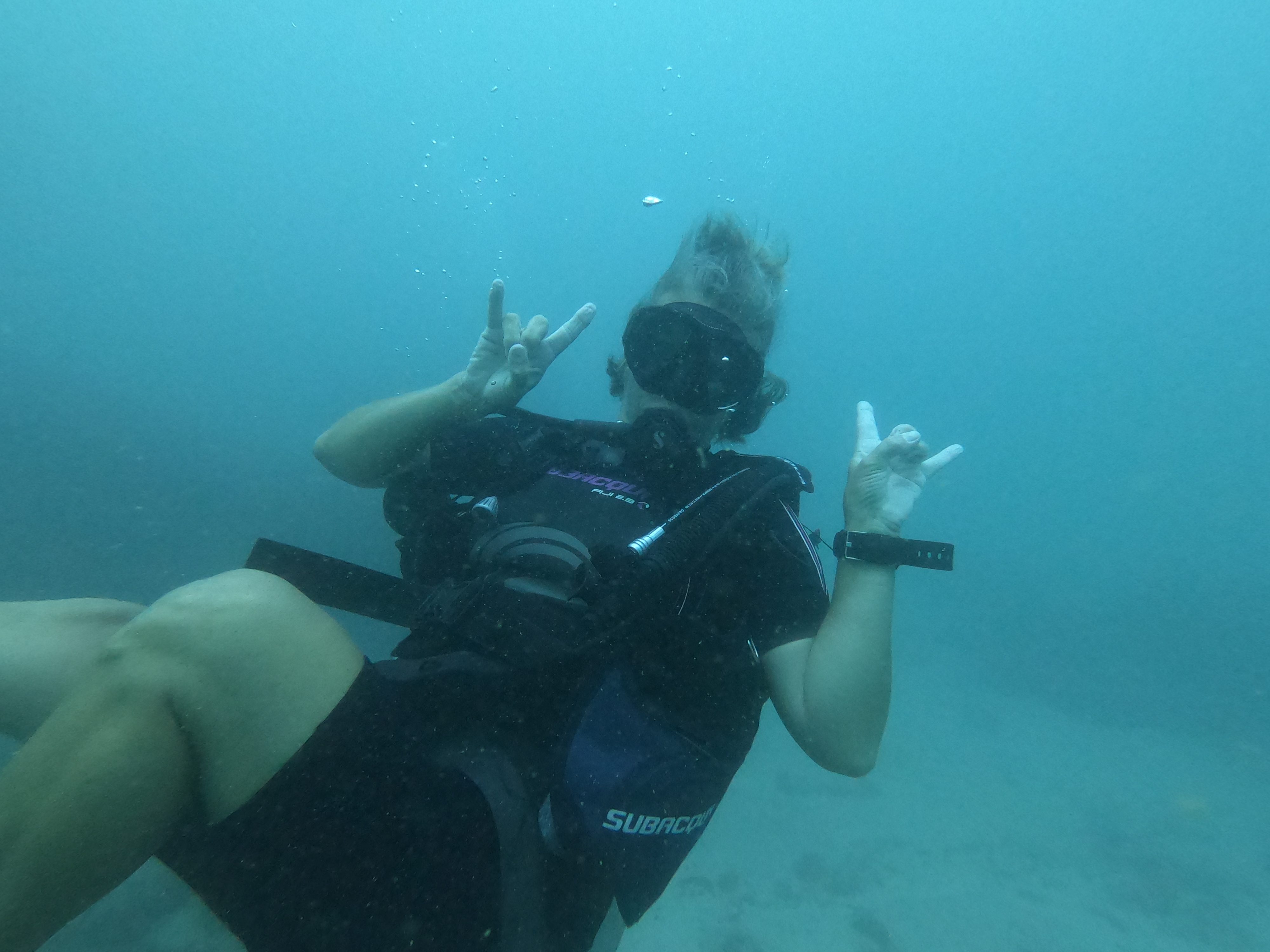
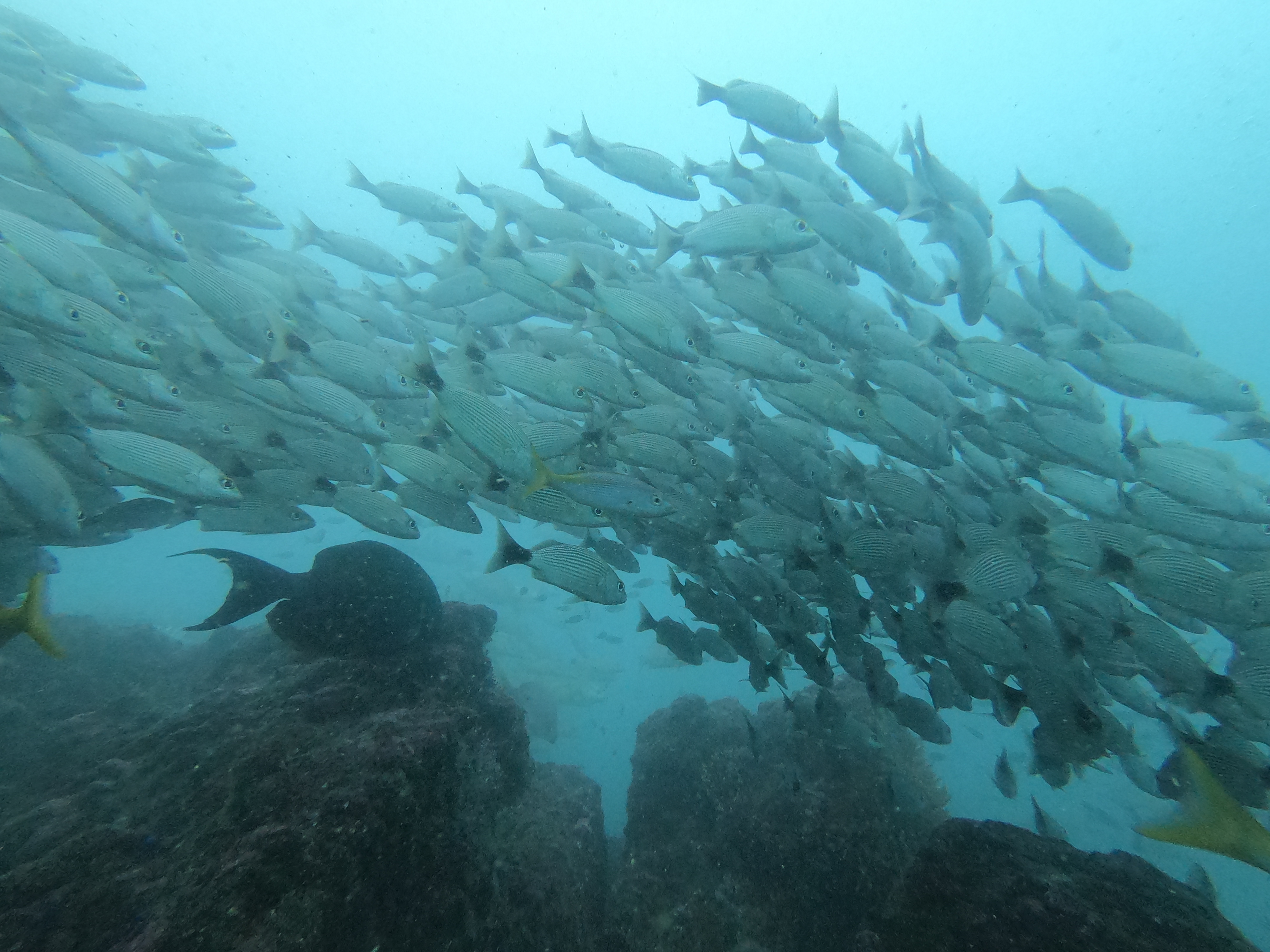
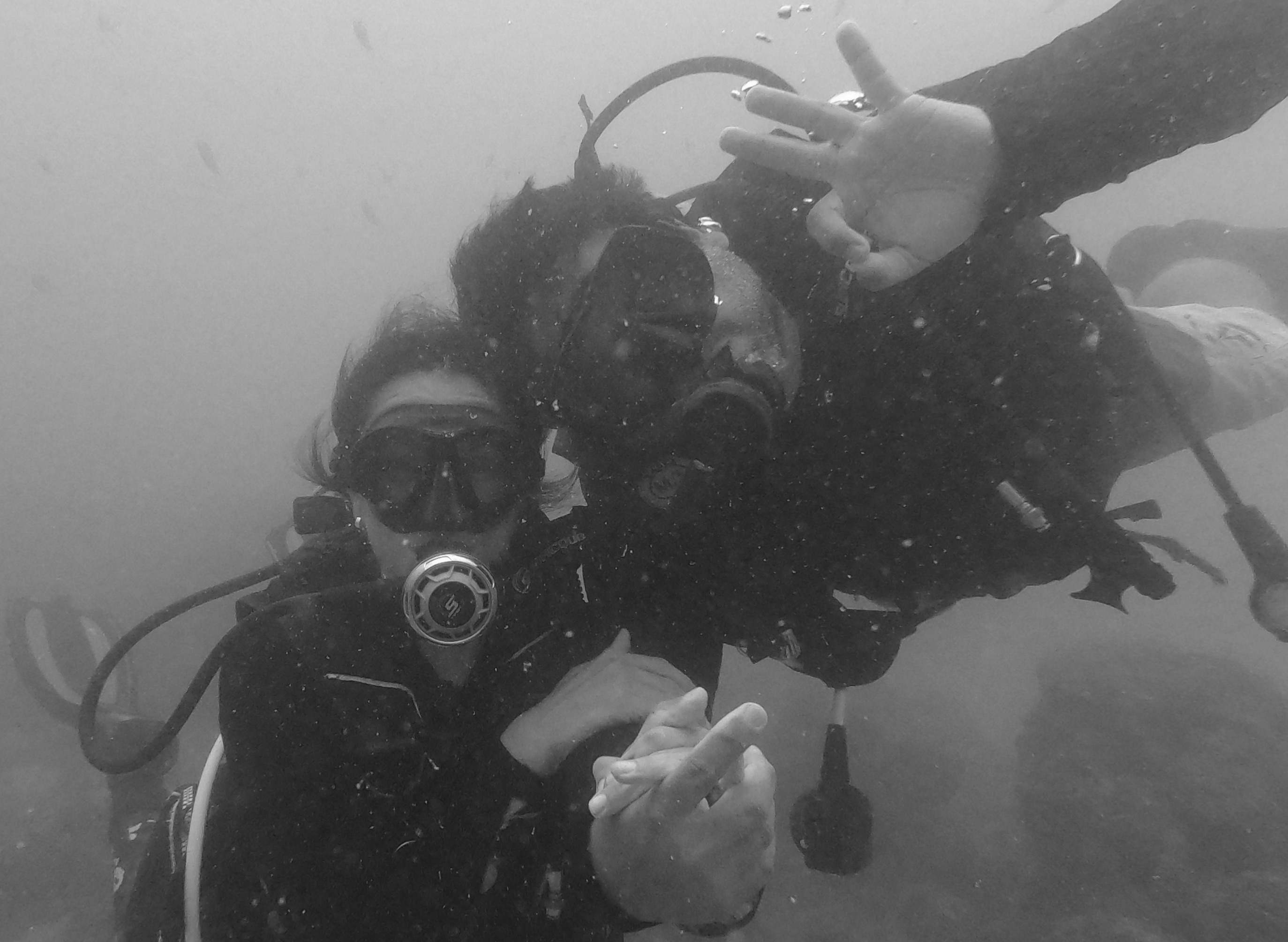
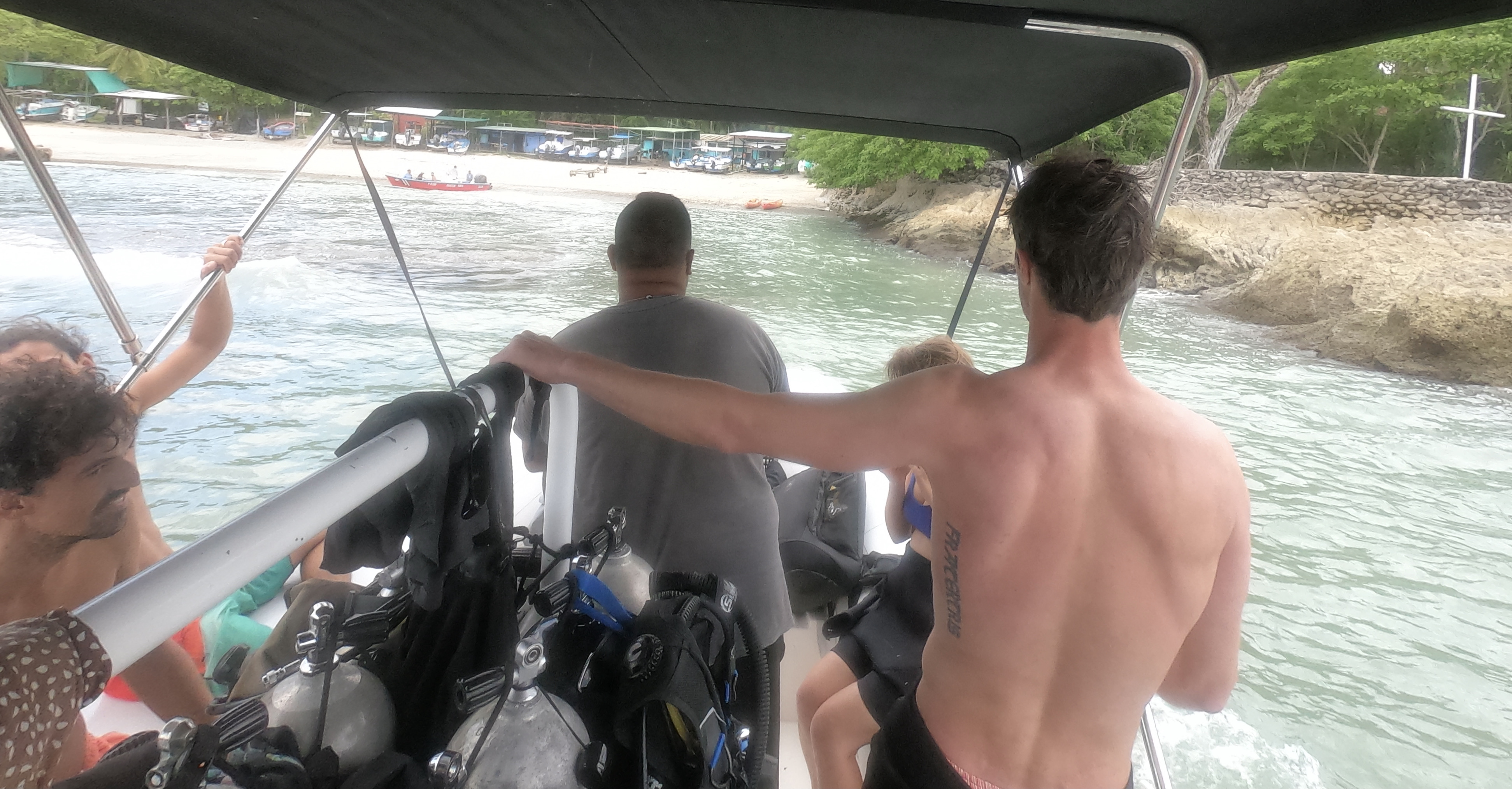
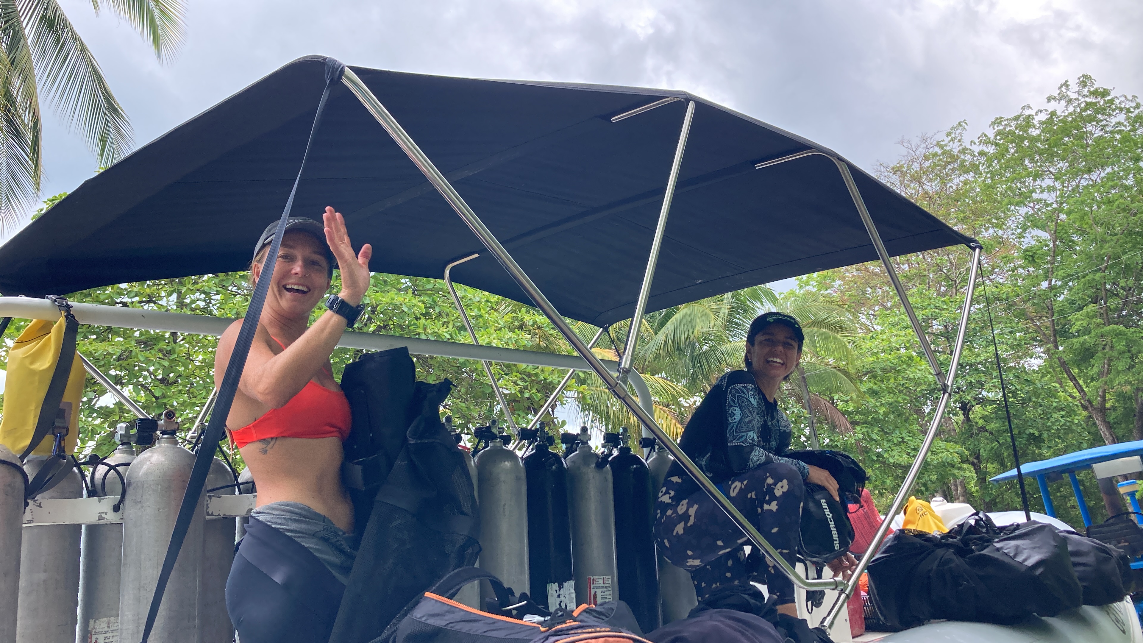
And, of course, when your ex-students own a dive shop, how can you not go diving?
The day of diving with old friends was incredible. Conditions were pretty challenging with significant swell and shocking visibility (damn red tide). Still, it was the phenomenal people we got to spend time blowing bubbles with that made all the difference.
Iguana Divers. Well done Cindy and Juan. Kudos to you as fabulous divers, businesspeople, parents, and friends!
They told me long ago, on the road…once a Junkie, always a Junkie.


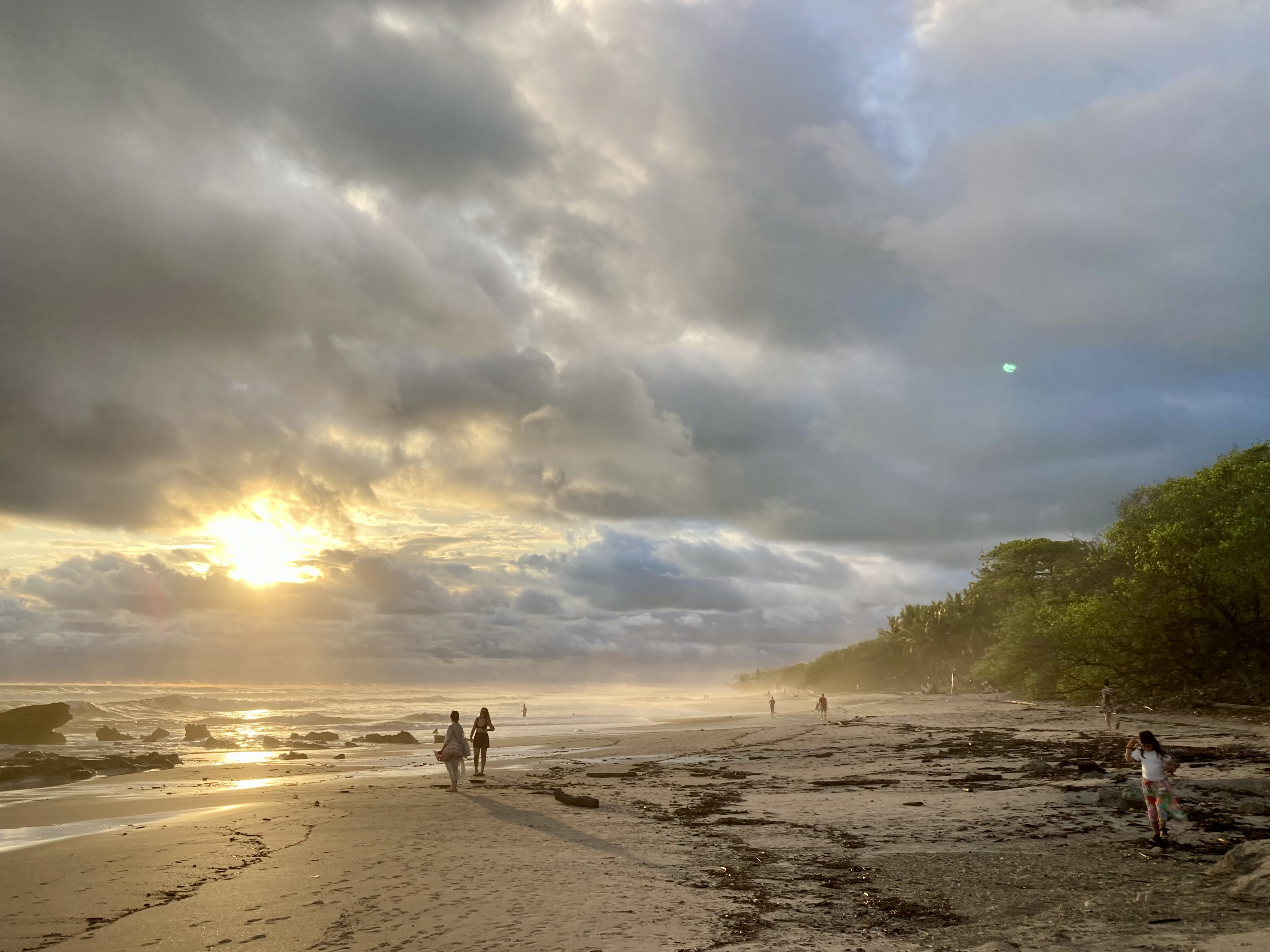
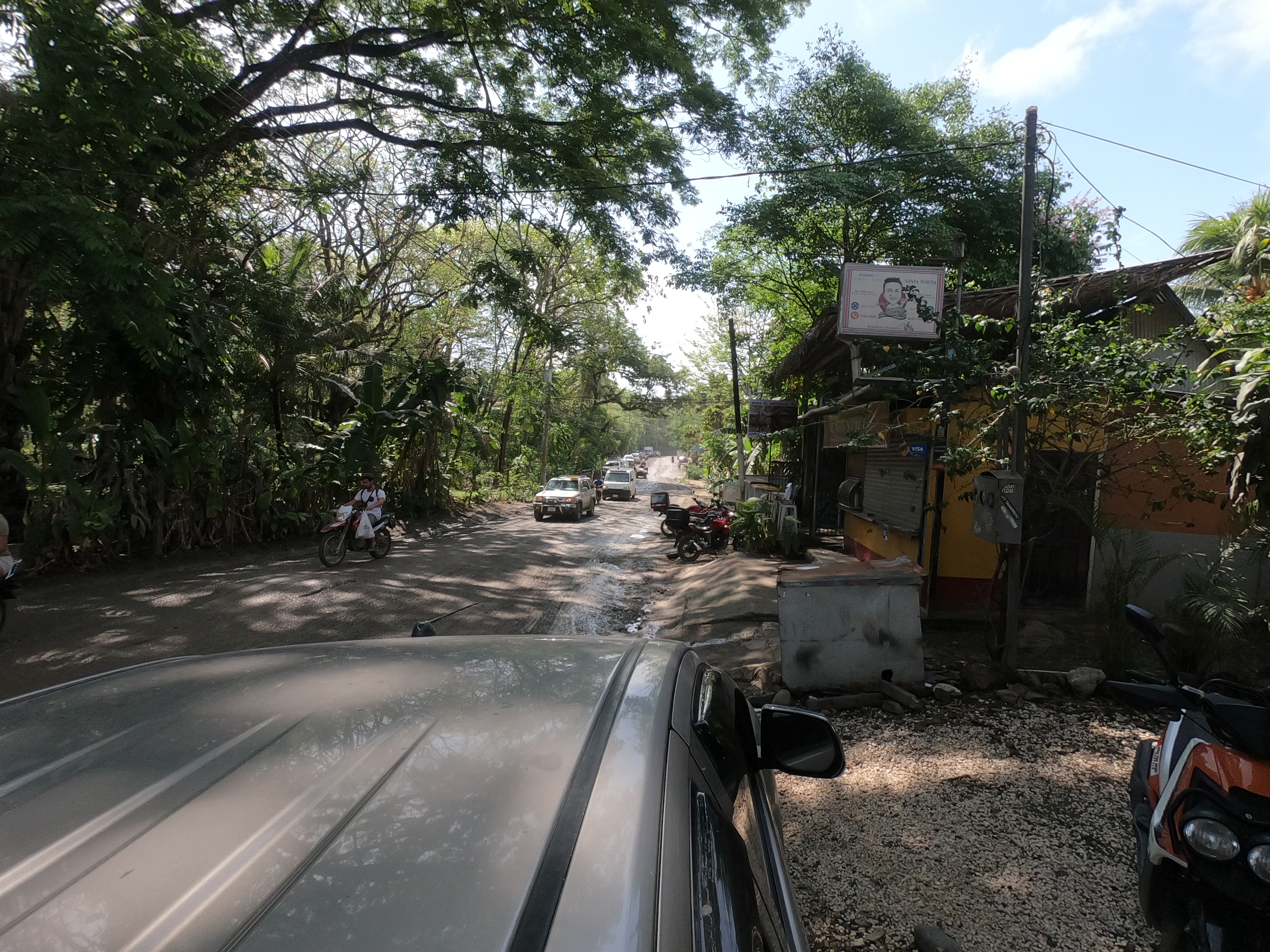
The town of Santa Teresa itself was quite unique. With all the look of a tiny surf town set into the lush Costa Rican landscape, it was hard to juxtaposition the tiny shops and businesses lining a single, mostly potholed dirt road with the completely unexpected caliber of international cuisine available and volume of multi-million dollar houses perched on the hillside. Even more surprising was learning that no less than five billionaires, as well as mega-stars including the likes of Mel Gibson and Tom Brady, have homes in Santa Teresa.

Deja Vú / Full Circle…
Flash back almost exactly two months.
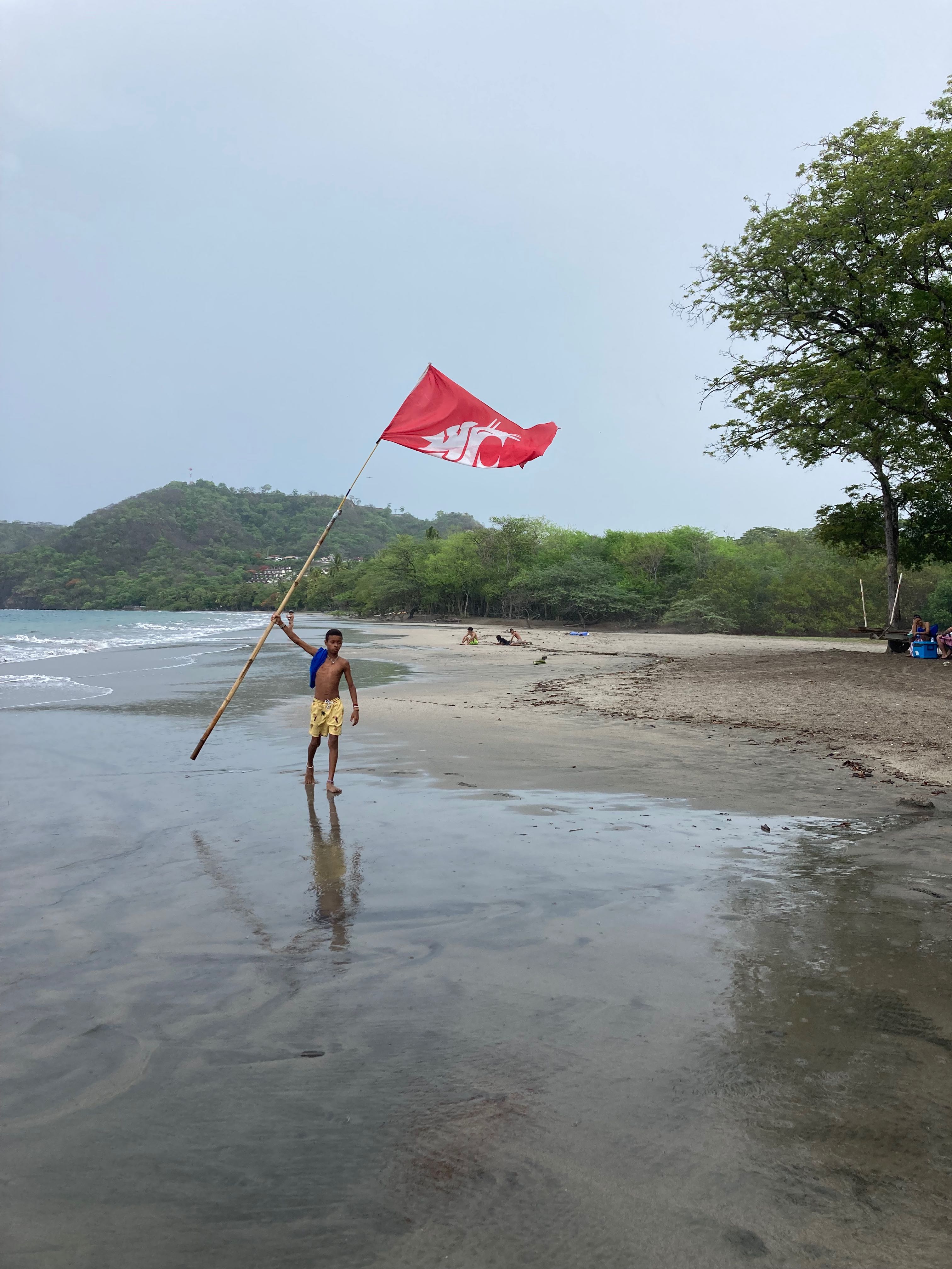
‘GO COUGS!’
Shouted by a passing tourist who had spotted our hailing port of Pullman, WA on our transom, they had strangely enough been the first words we had heard approaching Costa Rica, less than five miles from Golfito, the port of call where we would clear into the country.
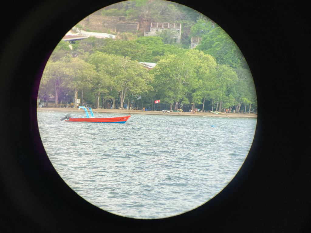
Now, fifteen anchorages later and four hundred nautical miles further up the coast, less than five miles from the town of Playa del Coco where we would clear out of Costa Rica, we were looking through our binoculars at a crimson flag clearly flying the WSU Cougar logo on the beach of Playa Hermosa.
Deja vú.
Shortly after Kris posted the photo she received a reply from the original flag owner. Apparently a WSU alum visiting Costa Rica on holiday had previously gifted the flag to a fascinated local, with the instructions to return any greeting with ‘GO COUGS!’
Small world.
It seemed to be a perfectly fitting full circle moment.


Costa Rica Challenges
In spite of all of the stunning landscapes and remarkable experiences, our time in Costa Rica will be remembered with mixed feelings.
From the perspective of a couple of sea gypsies, Costa Rica was well more challenging than we had ever perceived it would be.
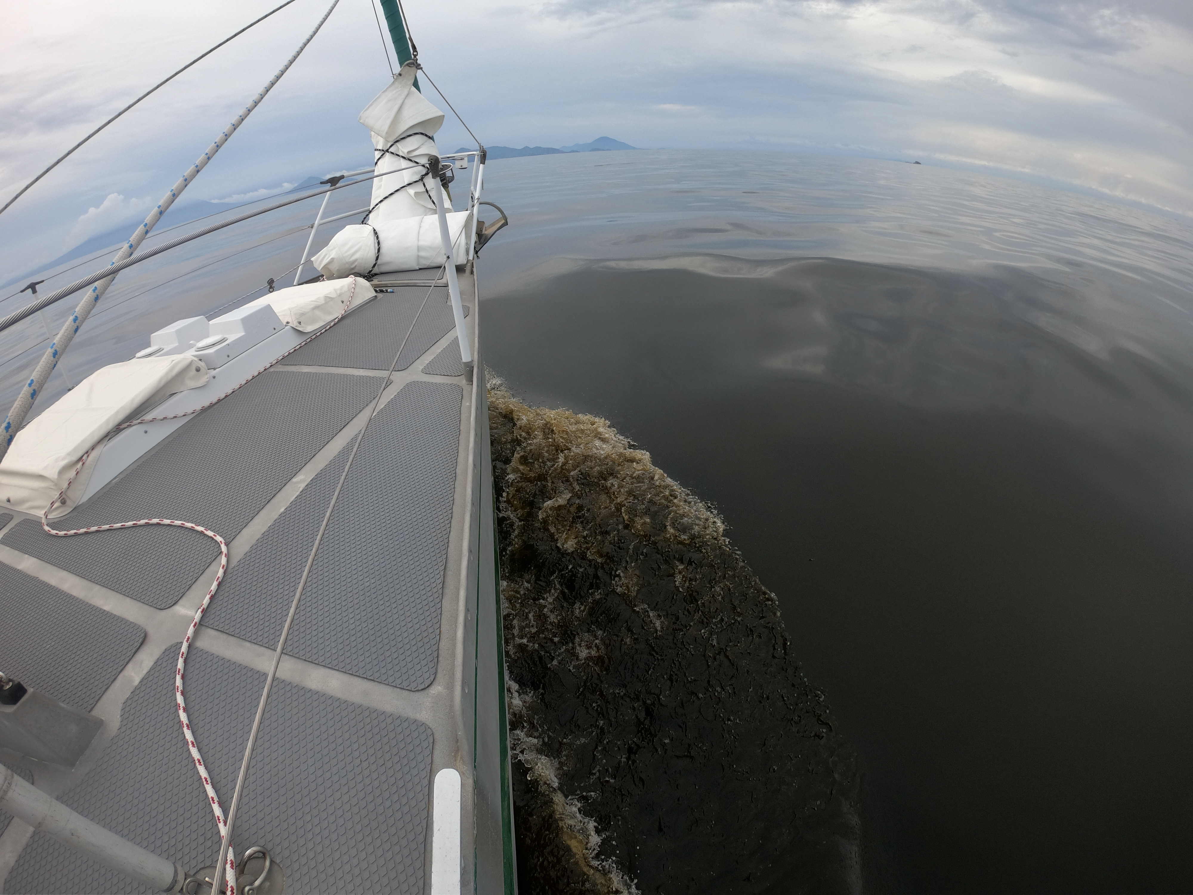
Although the sixteen foot tides which had stunned us initially as we emerged from the Panama Canal in January seemed nearly five feet less in Costa Rica, at times it seemed impossible to escape the Pacific Ocean’s relentless southwestern swell that seemed to wrap around every land mass we tried to take refuge behind.
Anchorages seemed farther and fewer in between. Choices in those that existed were more limited. Smaller bays. Moorings to contend with. Steeper banks which forced you either precariously close to shore or deeper than forty feet to anchor. It’s hard to set your scope when you swing between twenty five and seventy feet in depth.
And the strategy of just throwing out more chain only works when you know you have a clear space to swing. Knowing you have that clear space relies on good water visibility and/or reliable charts, both of which we found to be in short order here in Costa Rica. It is very disconcerting to increase the diameter of the circle you swing in when you know there may be rocks just under the surface of a low tide that you can pass over during high tide.
Weather forecasts, when consistent and accurate, provide critical information needed to make good decisions. Are conditions conducive to sailing or will we be forced to motor? Is an anchorage safe based upon wind direction? Are there storms developing? When should we move? In Costa Rica, that consistency and accuracy didn’t exist. Consequently, we struggled constantly with higher stress levels, frustration, and a general sense that we were always simply guessing instead of making informed decisions.
Dinghy landings, more often than not, were excruciatingly difficult. Breaking waves of three feet can easily capsize the dinghy… a catastrophic event that poses both a safety risk and the very real possibility of destroying the outboard engine. Many beaches could only be reasonably landed on or launched from during the most benign cycle of the tide – high or low slack tide. With only two of each in a twenty four hour period, this made for a very small window…and it also meant unless the trip ashore was not more than an hour, either the landing or the launch would fall outside that safe zone. Hmmmm…a messy landing which subsequently forced you to walk around in wet clothes was never a pleasant prospect; however, getting swamped by a breaking wave launching the dinghy after loading three hundred dollars of provisions we had just purchased was even less appealing. Sometimes simply not going ashore seemed the wiser approach. Oftentimes that turned out to be the conclusion.
Compared to other countries in Central America, Costa Rica proved to be one of the most expensive we visited.
The whole national zarpe requirements just added additional complications.
And then there was the damn red tide.
The morning we arrived in Costa Rica, as we passed through the bay approaching Golfito, we first noticed discolored patches in the water. We attributed these to runoff from the rivers which can sometimes collect with tides and currents.
The patches continued off and on for a month before someone enlightened us that what we were looking at was red tide.
Apparently, these out of control algae blooms typically only last two or three weeks. After three months, we learned that this particular tide was stretching all along the Pacific Coast and was the worst people had ever seen..or smelled. And smell it does. Like the combination of stagnant tropical salt water and rotting plant material that it actually is. Yuck!
Hard to describe and harder to bear.
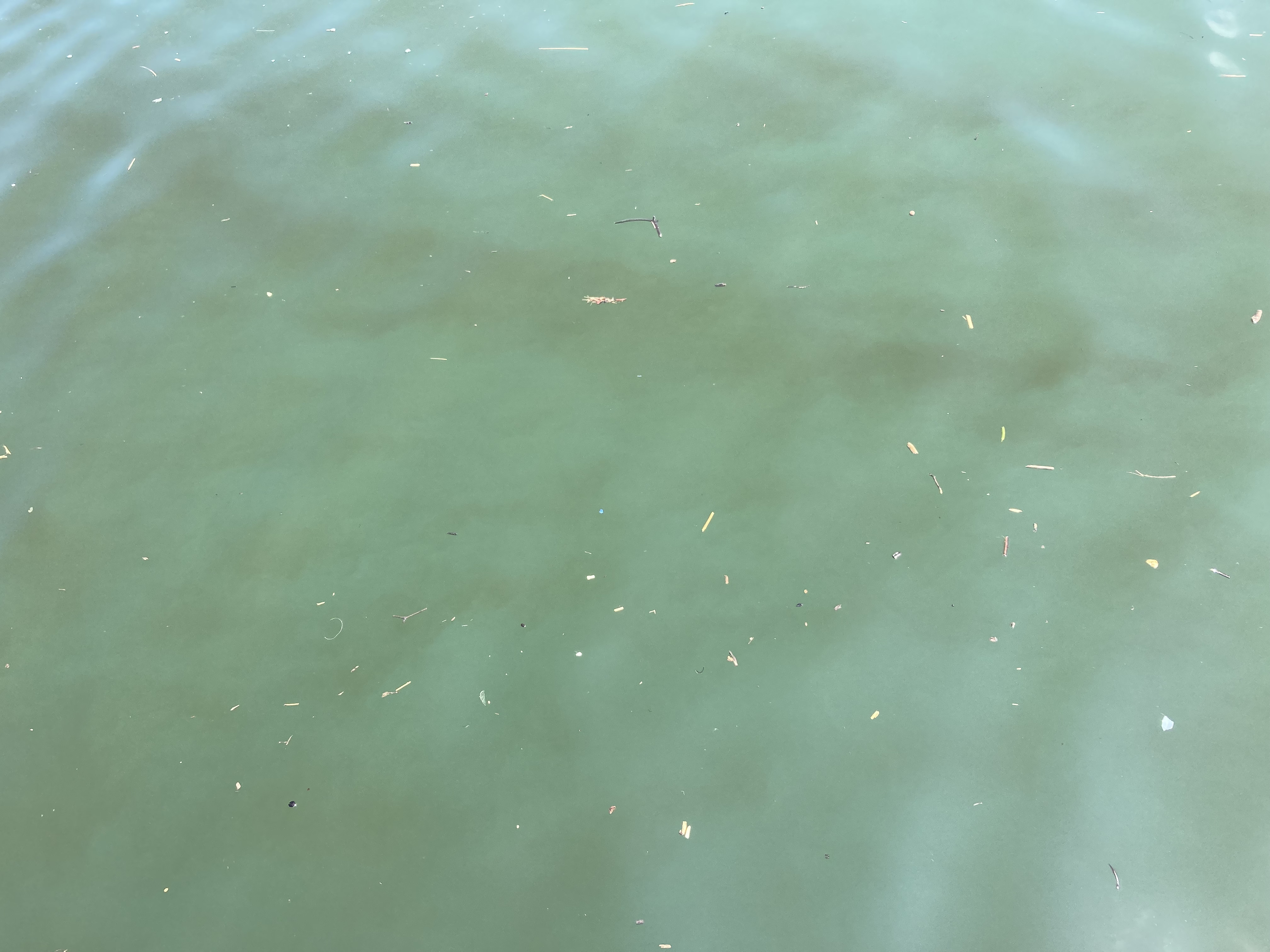
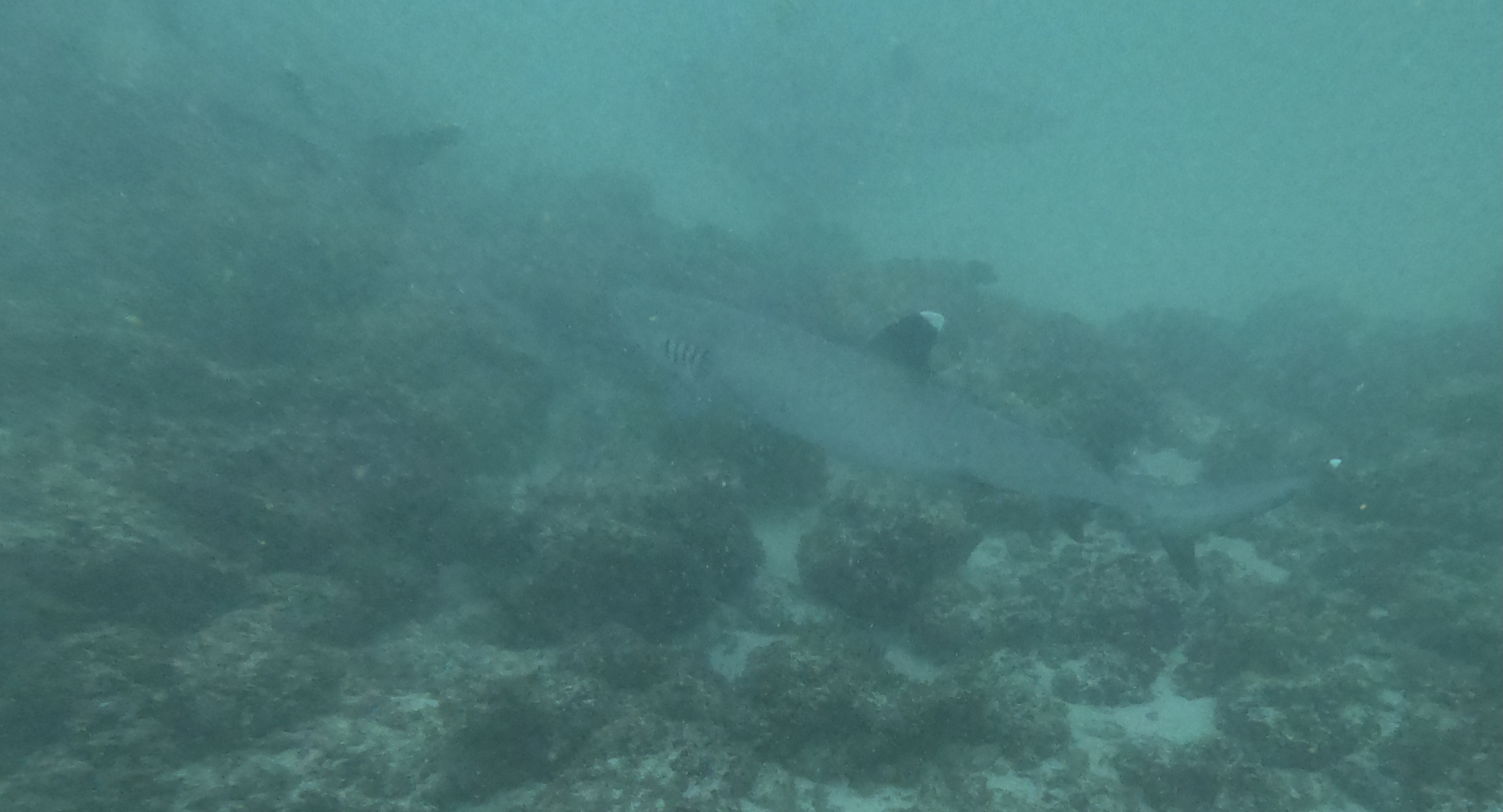
Sometimes it was possible to see the tendrils of algae in rather clear water pass by the hull. Other times the entire body of water surrounding us became as dark as coffee.
The difference between a mild and severe day…
Had we known just how severe a red tide we would encounter, we certainly wouldn’t have changed our water maker membrane in January.
We learned very quickly how important it was, if we were making water, to shut down the system at the first signs a bloom was approaching. It would clog the pre-filters with amazing speed. Better yet, we would try to make water further offshore; though sometimes we could still find the red tide blooms had carried miles out on a falling tide or coastal current.
The pre-filters in the photo illustrate how problematic things can be. Both have just been cleaned. The one on the left has about fifty hours of water making time under fair conditions. The one on the right has only one hour of use but looks far worse because of the red tide water that was drawn through it.
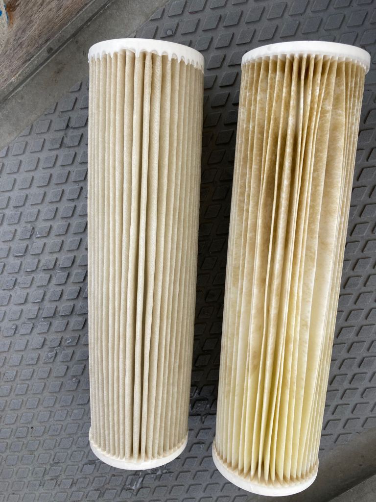
On the occasions we got far enough offshore to seemingly at least temporarily break free of the red tide’s chokehold, the difference in water quality was stunning.

Nevertheless, despite the tides, and the weather, and the chart shortcomings, and the lack of protected or viable anchorages, and the swell, and the beach surf, and the cost, and the national zarpes, and the stinking red tide…
…regardless of all the challenges, Costa Rica was well worth the visit.
At times, traveling by land instead of by sea would have made things far easier, and we would have encountered less situations where we had to pass on an adventure because of the logistical impossibilities.
Still, it was worth the visit.
But we had now been in Costa Rica for almost exactly two months. We still had over fifteen hundred miles to travel before reaching the relative safety of the Sea of Cortez… and it was almost June — officially two weeks into the start of the Pacific’s hurricane season.
Our choices would soon be quite limited. Either we had to get our asses up to the Sea of Cortez immediately or we would be stuck having to sit through the hurricane season in El Salvador, Honduras, or Nicaragua with few options outside of a handful of marinas and questionable anchorages. This was not a good place to plan on hanging out on the hook for the next six months.
If we opted to just keep going until we reached Mexico, Chiapas was our first port of call that we could clear into. Five hundred miles. And that still left another thousand to go after that to the Sea of Cortez.

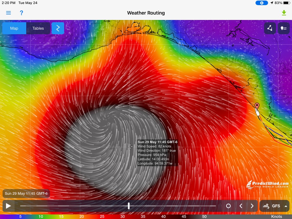
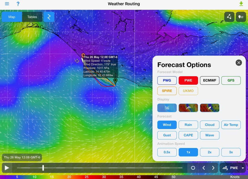
As a sobering reminder of both the risk of sitting and the uncertainties of moving, as well as the very real dangers of being at the wrong place at the wrong time, our decision was being made even more difficult by inconsistent and contradicting weather forecasts.
Yet one forecast stood out prominently, shouting loudly above all the others. It was still over a week away but it certainly had our attention.

If the forecast was accurate, this would be the first named storm of the 2022 hurricane season…Agatha. It would also likely follow a trajectory mimicking our current path, passing right next to Chiapas. But a week out is forever and a day when it comes to forecasting weather. And this was the only model that was currently flashing ‘danger’.
Others showed a completely different picture for the future.
Erratic weather forecasts and a potential hurricane were only two of many considerations we were having to process. We had already arrived in Playa del Coco, where we could clear out of Costa Rica. However, once we had cleared out, we were committed to go. The clearing out process would more than likely take a full day; and once that undertaking was completed, the Costa Rican authorities would allow us twenty four hours, at the most, to pick up anchor and physically leave Costa Rican waters. In other words, a major process with a very short window that had to be initiated with incomplete information in hand.
The process of getting everything ready on Exit for a substantial offshore passage; the process of making a big decision regarding a safe weather window that hopefully didn’t force us to motor the whole way; the process of getting cleared out…
Not for the feint of heart.
As if there wasn’t enough to have to keep track of already, there were also the Papagayo winds that had to be considered.
Departing Playa del Coco, there is a stretch of coastline just to the north that marks one of the narrowest points between the Atlantic and Pacific across the Central American isthmus. It is very susceptible to influence by winds that can come rushing down from the highlands after crossing massive Lake Nicaragua and deliver storm force and, at times, even hurricane force winds reaching far out from the coast. These winds, running contrary to the direction of the Pacific swell, can cause a massive buildup of tall waves with very short intervals between – potentially an extremely dangerous situation for boats. Mariners have to carefully monitor not only the normal weather driven winds, but also the forecasted Papagayo winds which can sometime strengthen or at other times even contradict what should be happening.
It is only about fifty nautical miles across the area of concern, but for us that represents a ten hour stretch of exposure. On more than one occasion, we had been advised the Papagayo winds (and even more so the Tuantapec winds just beyond Chiapas, Mexico) are not to be taken lightly unless you fancy having your ass handed to you.

We continuously looked at forecasts and analyzed things. Eventually, we made the call. We go.
The clearing out process was, as expected, lengthy and complicated, but achievable thanks to Kris’ tenacious online research which uncovered a step by step procedure to follow provided by another sailor who had documented their experience, complete with photos of the building fronts to look for…well done.
We had officially cleared out of Costa Rica; and the clock was ticking.
4:20 a.m. May 21, 2022…
First light.
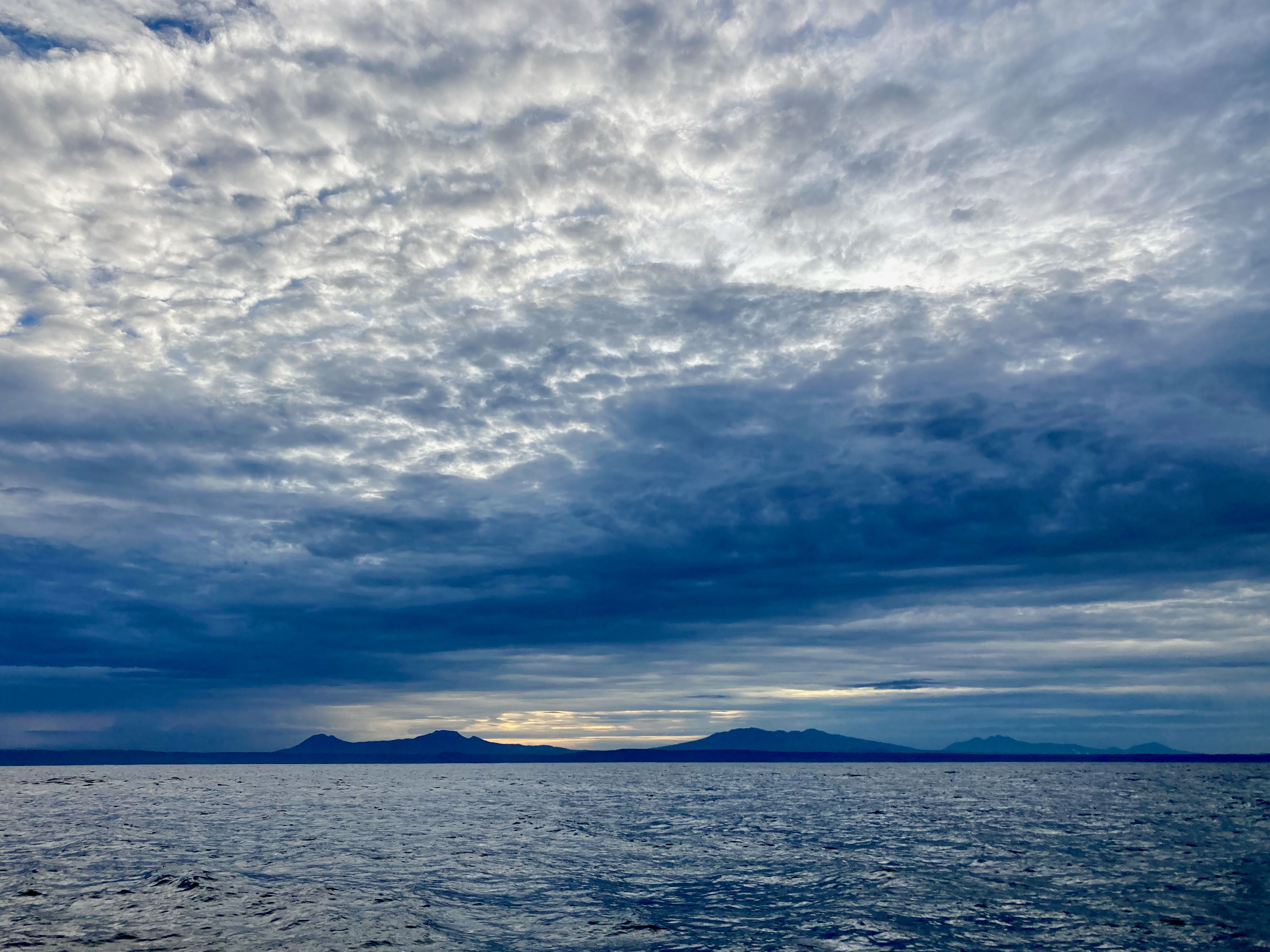
Looks like gray skies. A camouflage day for us. We blend right in.
As we pick up anchor, the skies look ominous but not as threatening as the most current weather forecast we have just downloaded on our iPad. Still only one of the four weather models predicts a hurricane will develop…but that model still says it will pass right by our destination of Chiapas, Mexico.
We are a week ahead of it. Best get moving.