
February 1 – 11, 2023
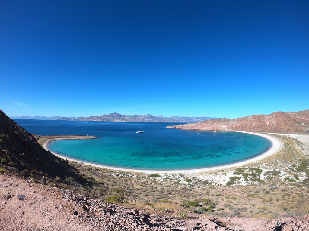
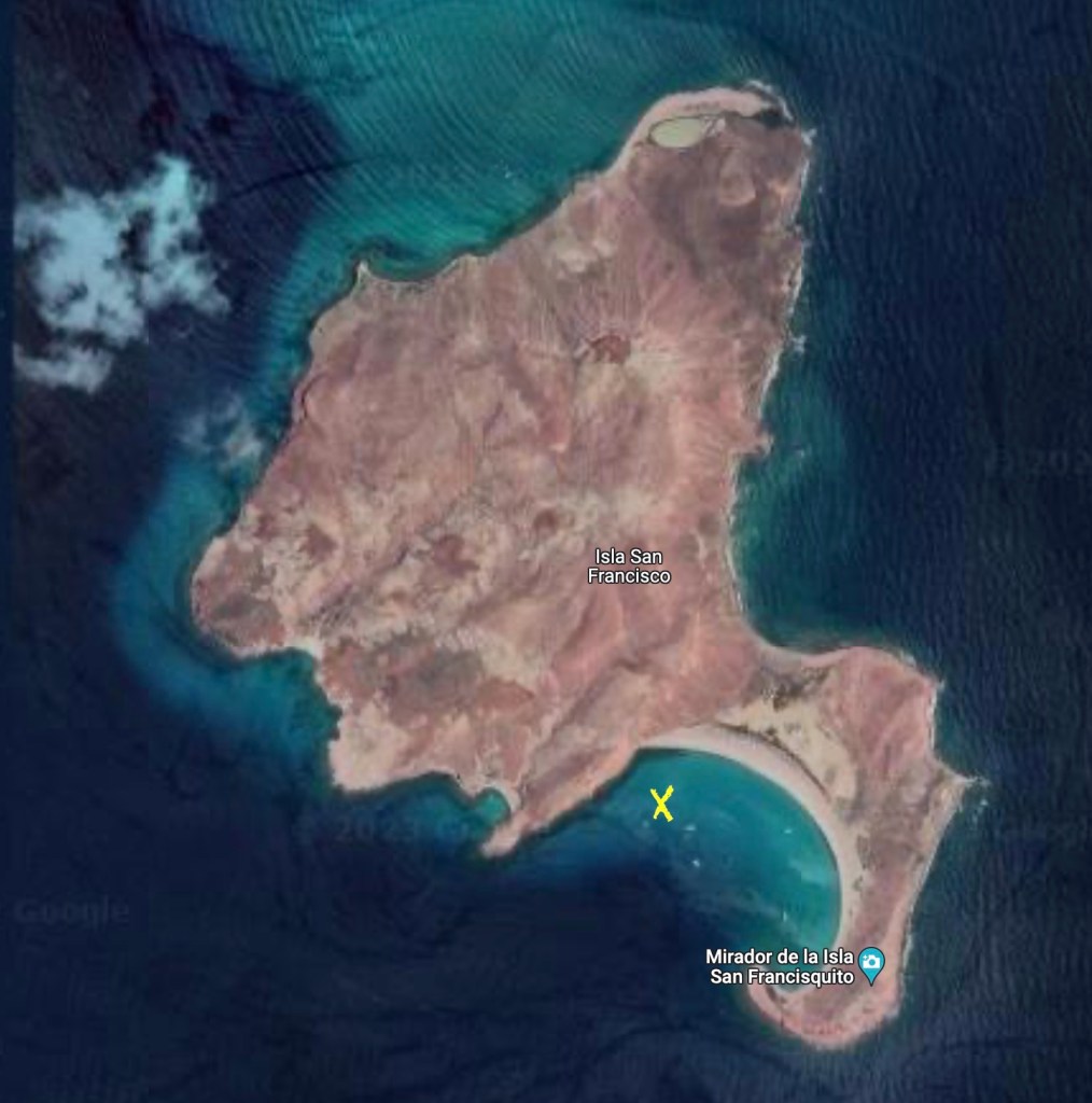
When we arrived at Isla San Francisco, we knew immediately that we would be here for a while.
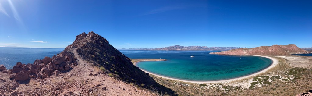
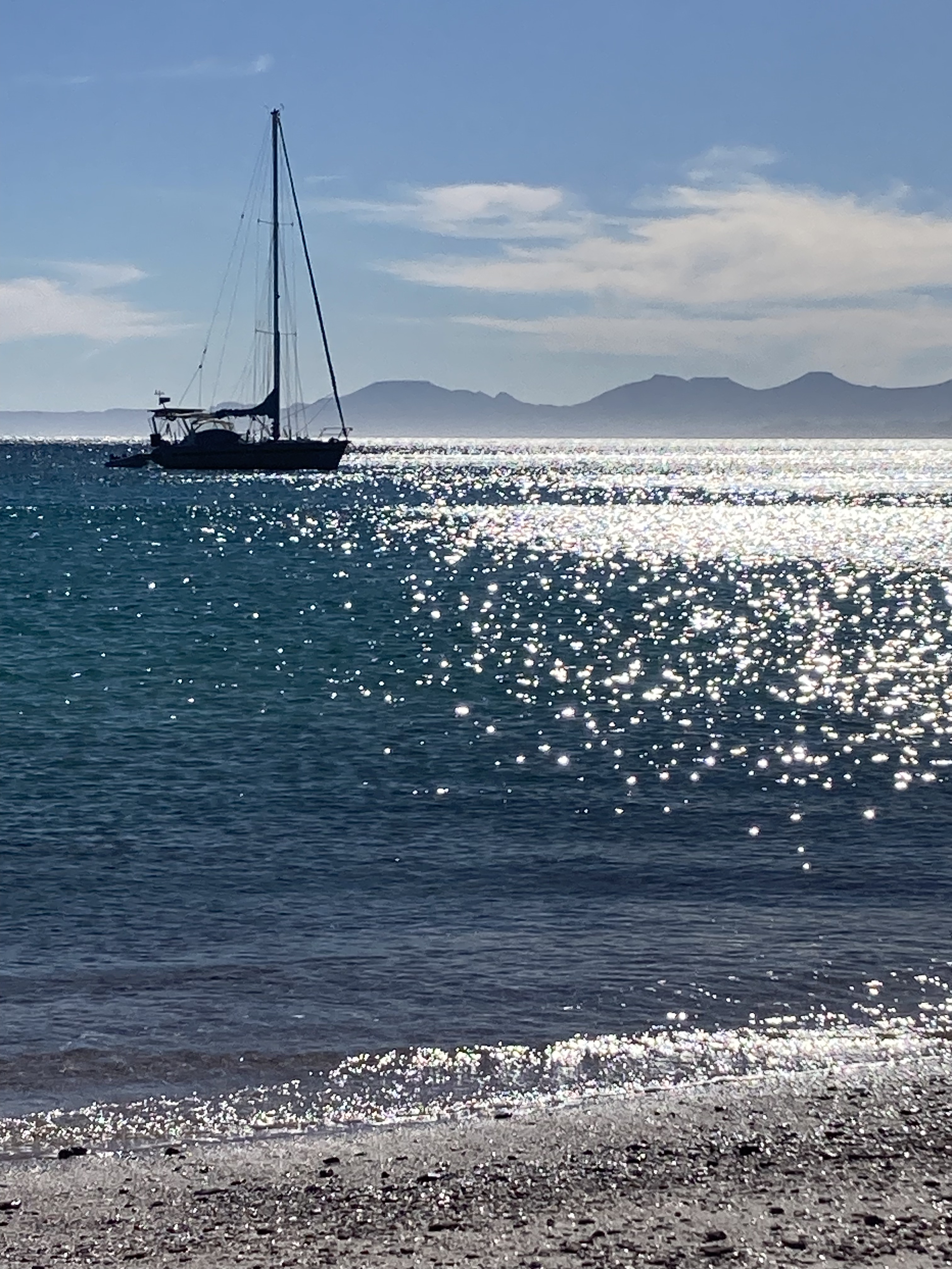
The giant bay on the south side of the island provided tons of space and excellent weather protection from every direction except the southwest. The gentle slope just off the beach provided infinite choices of depth to anchor in, and we could tell we were well dug into nothing but sand when we felt the satisfying tug of the chain as the anchor solidly caught.

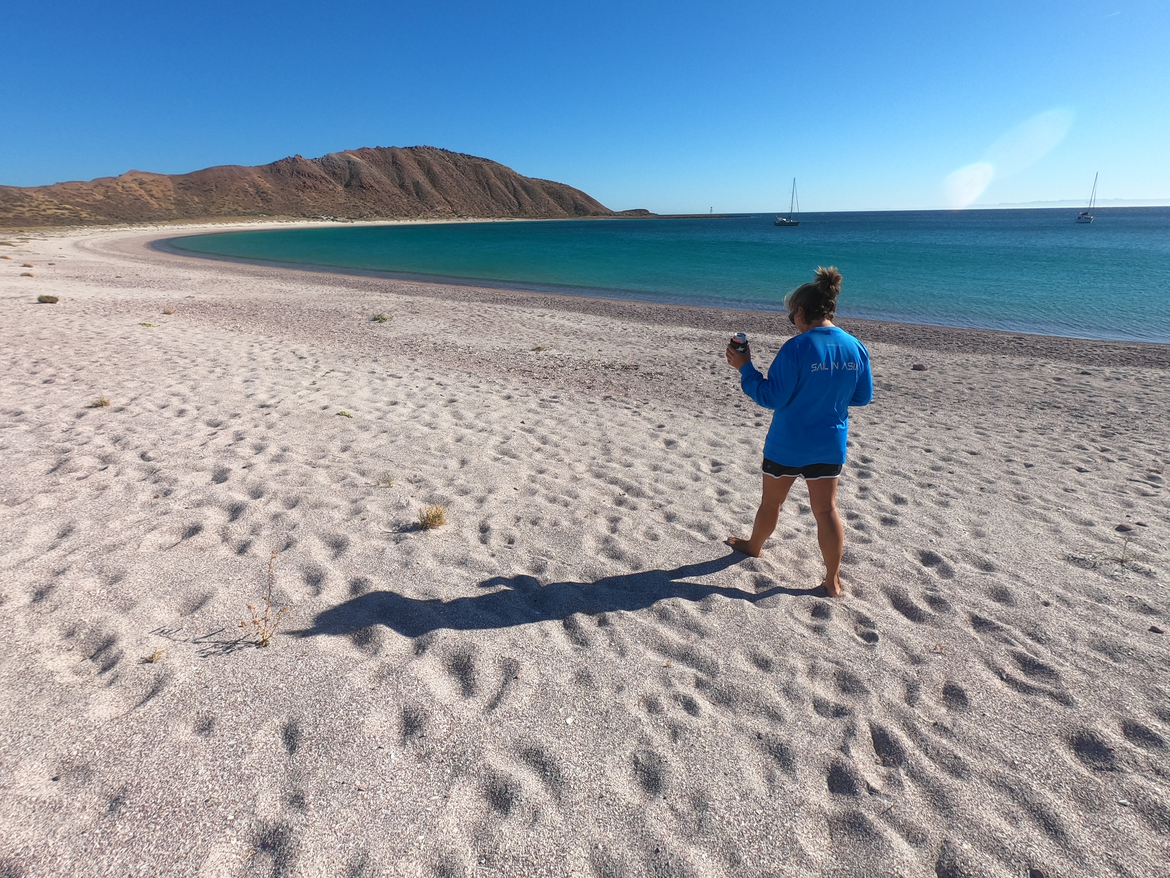
It didn’t take long before a shore excursion was in order.
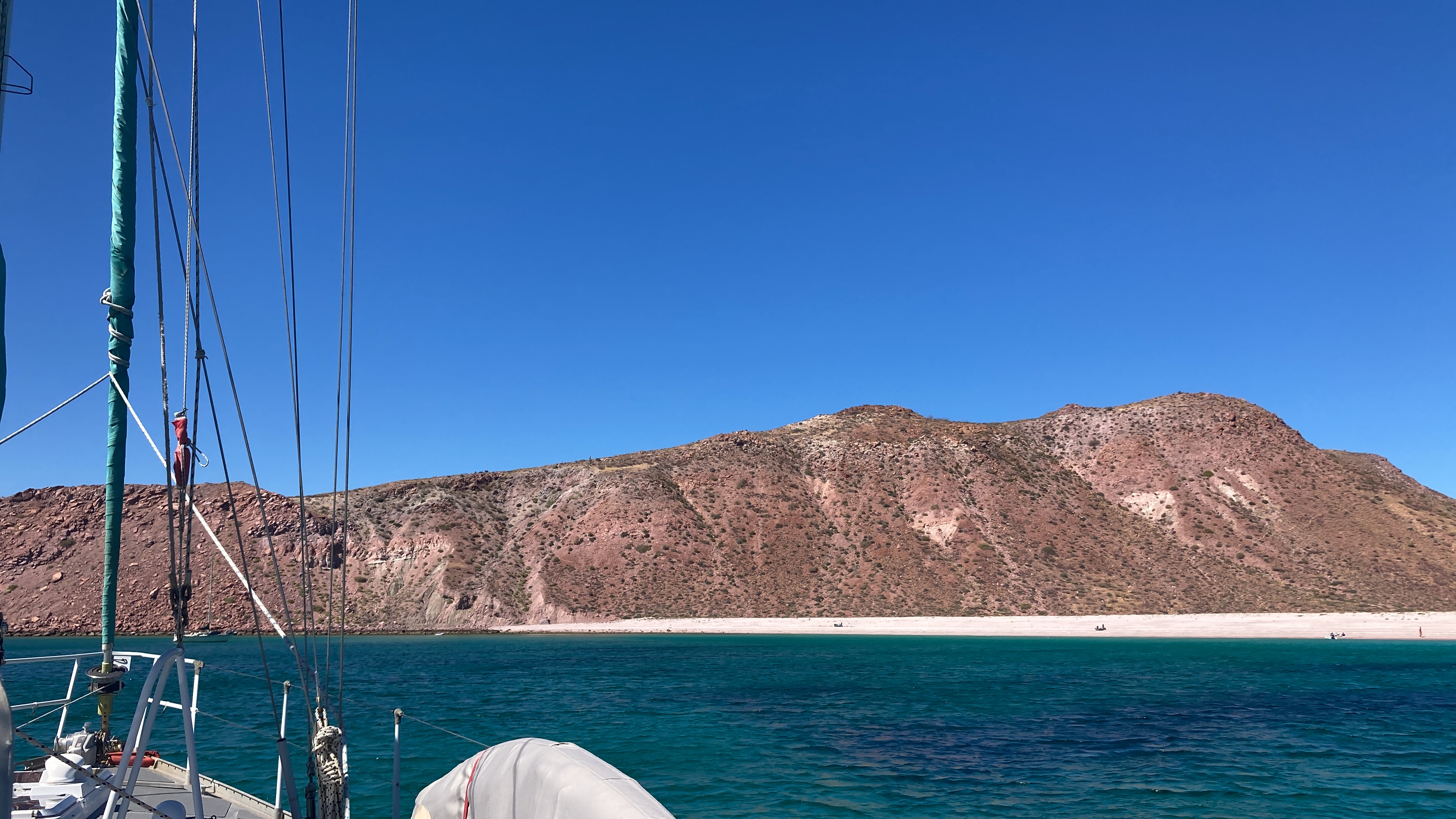
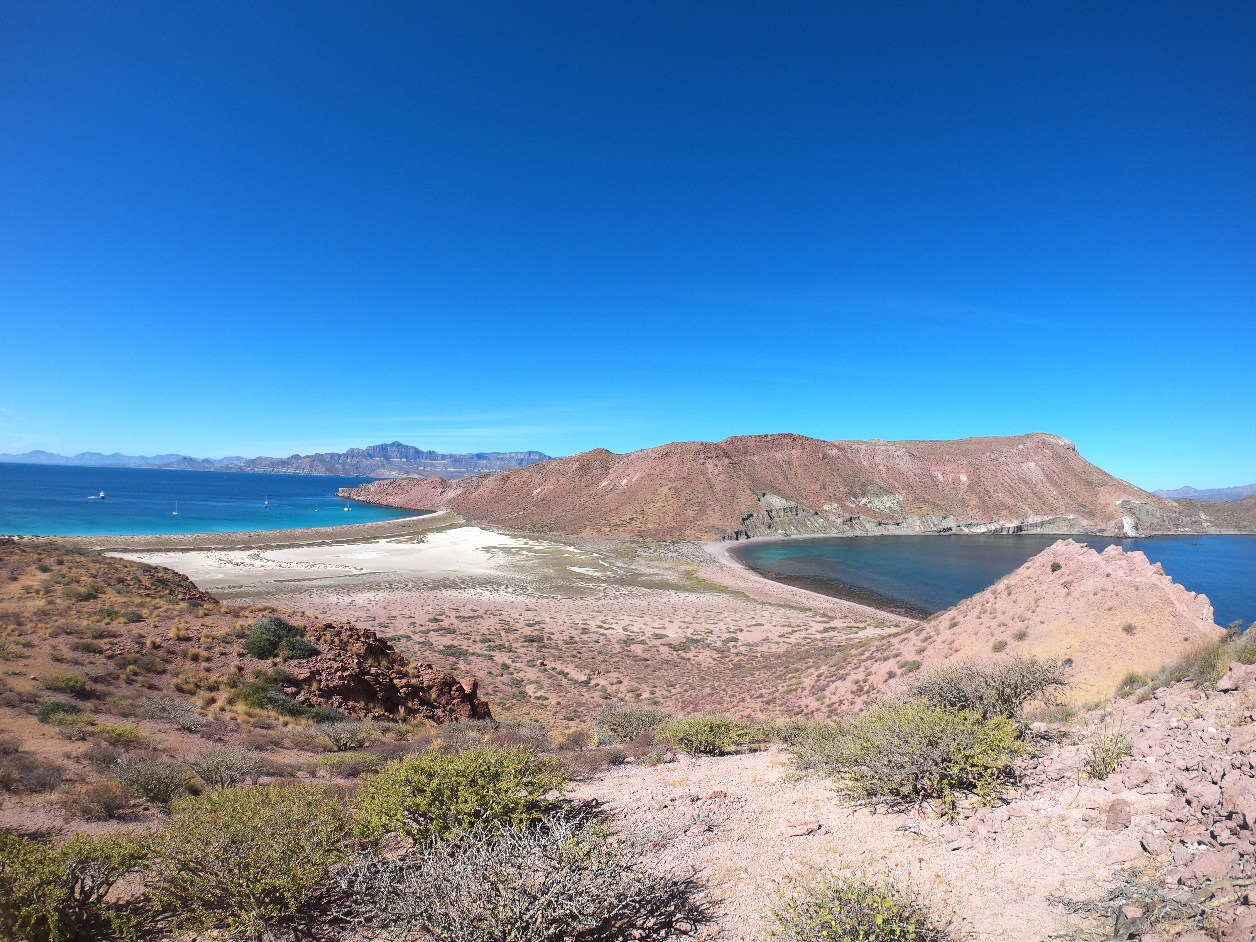
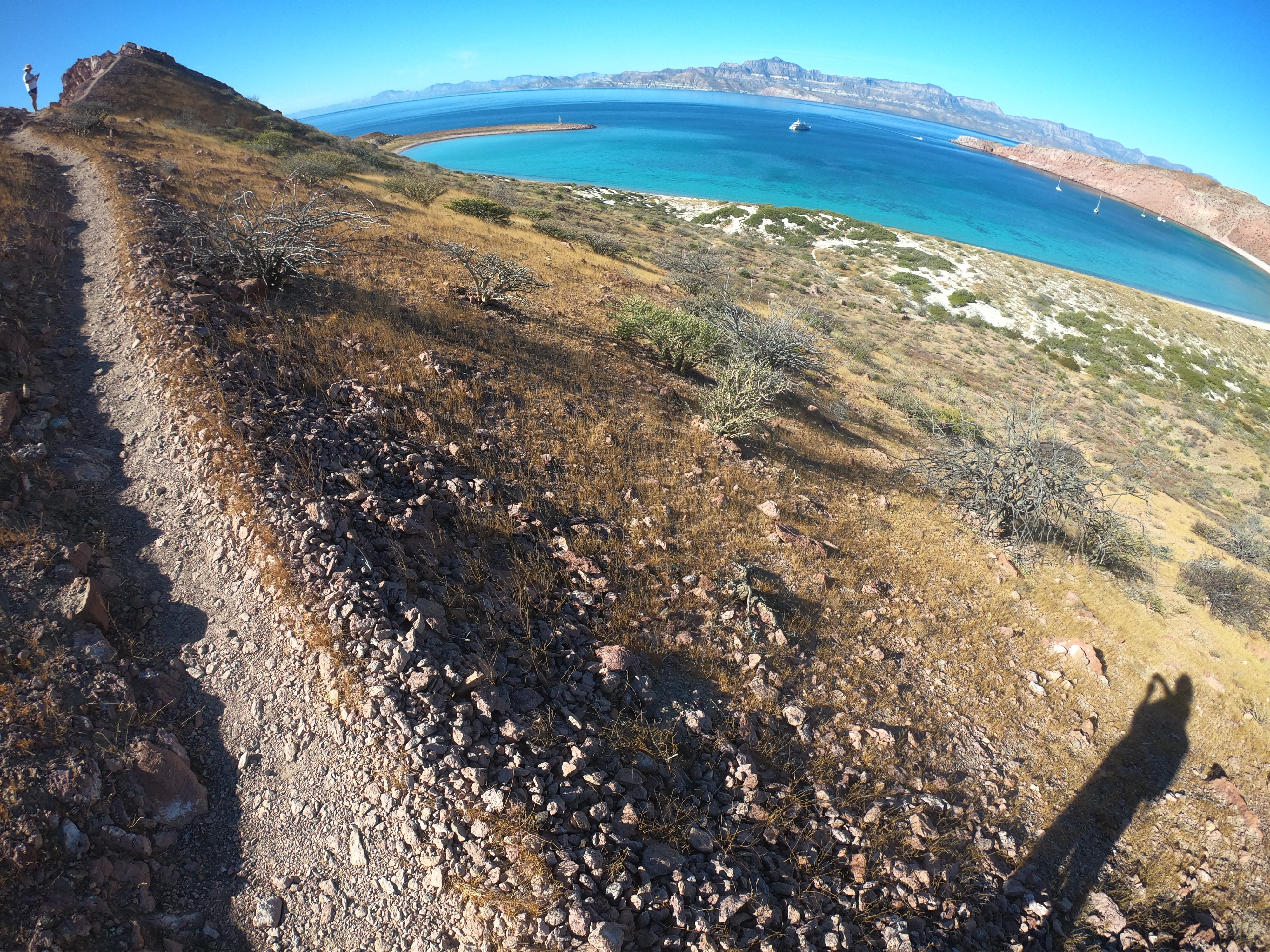
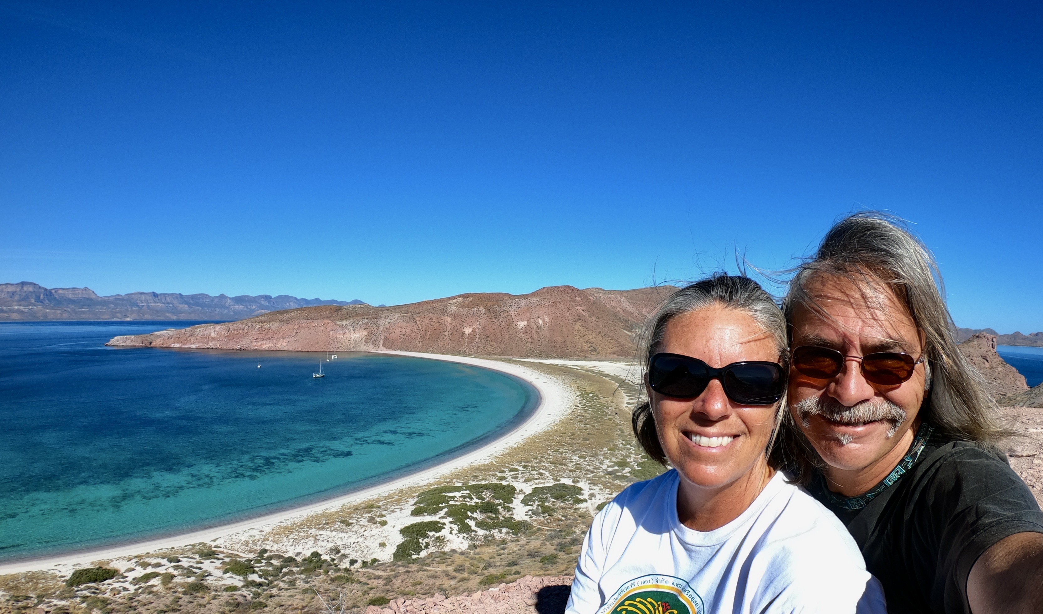
The massive crescent shaped bay is lined by a picturesque sandy beach providing easy dinghy access.

Just beyond the beach lies a large salt flat of parched earth and scrub, separating the anchorage from a bay on the other side of Isla San Francisco.

In one area we came across a number of pits – what appeared to be the remnants of a salt harvesting operation at some time in the past. Thick sheets of crystalized salt still remained in the pits.

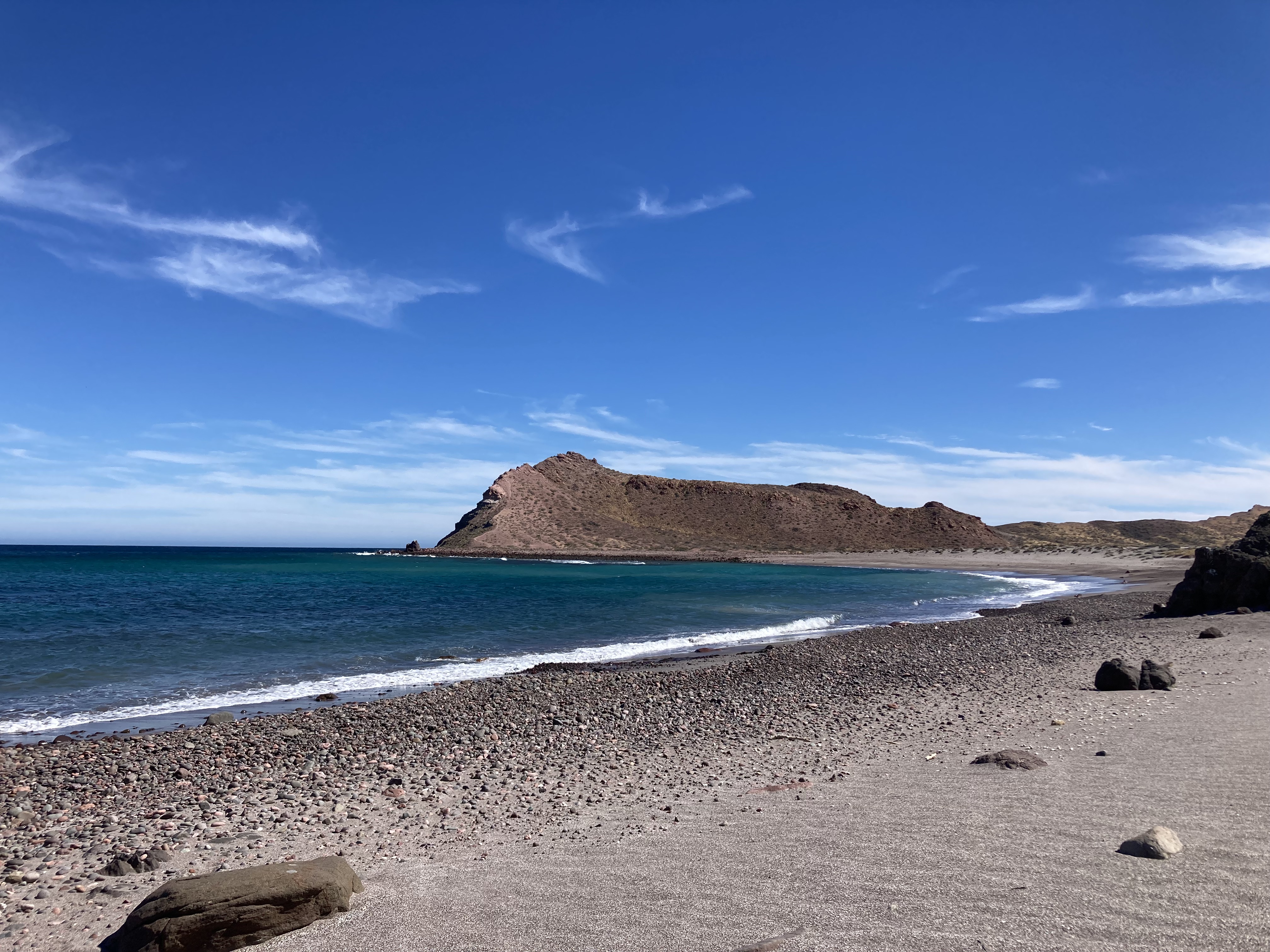
On the other side of the salt flat is another bay covered in round pebbles and rocks, ground down smooth by endless waves, tides, and storms.


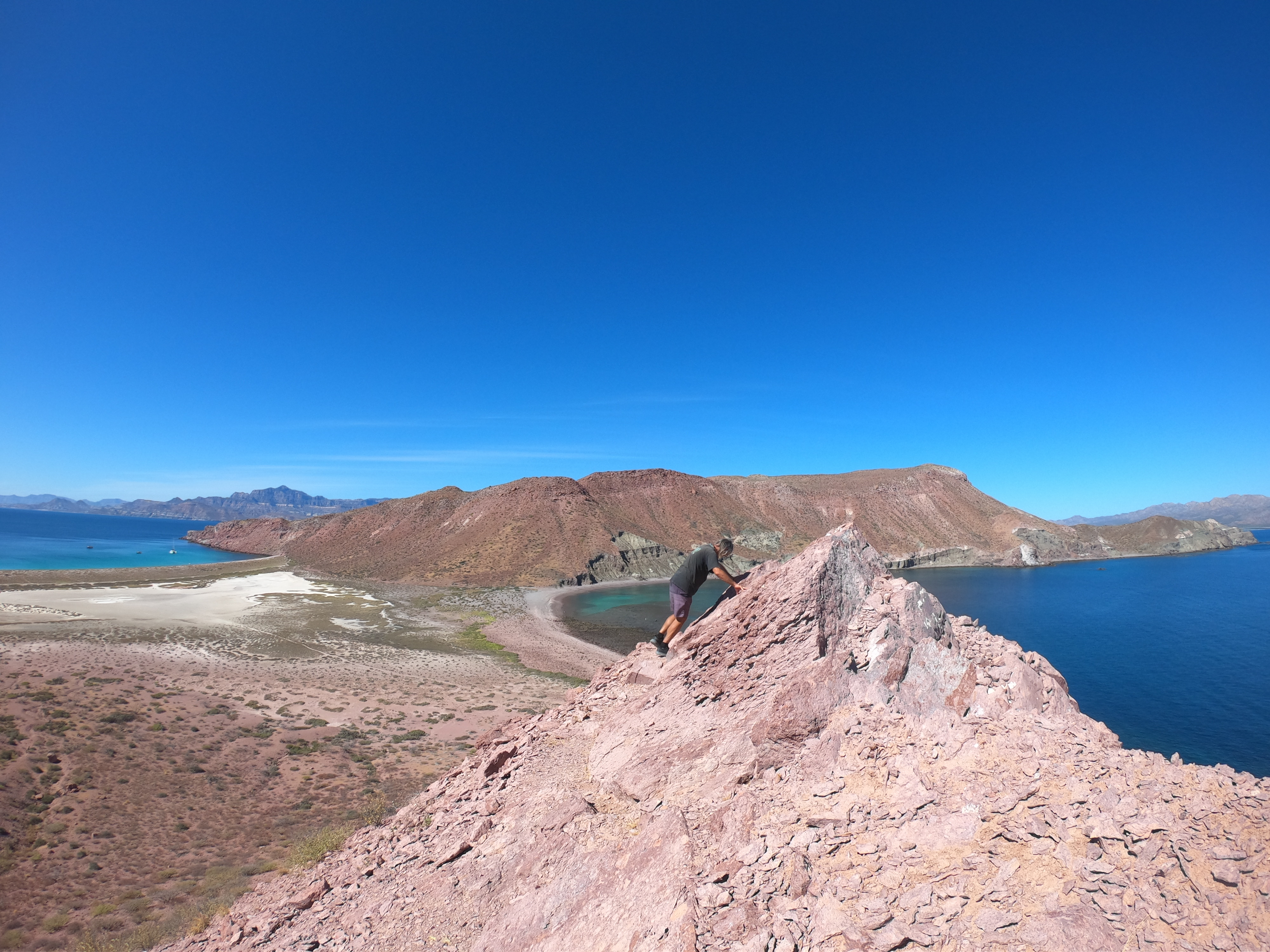
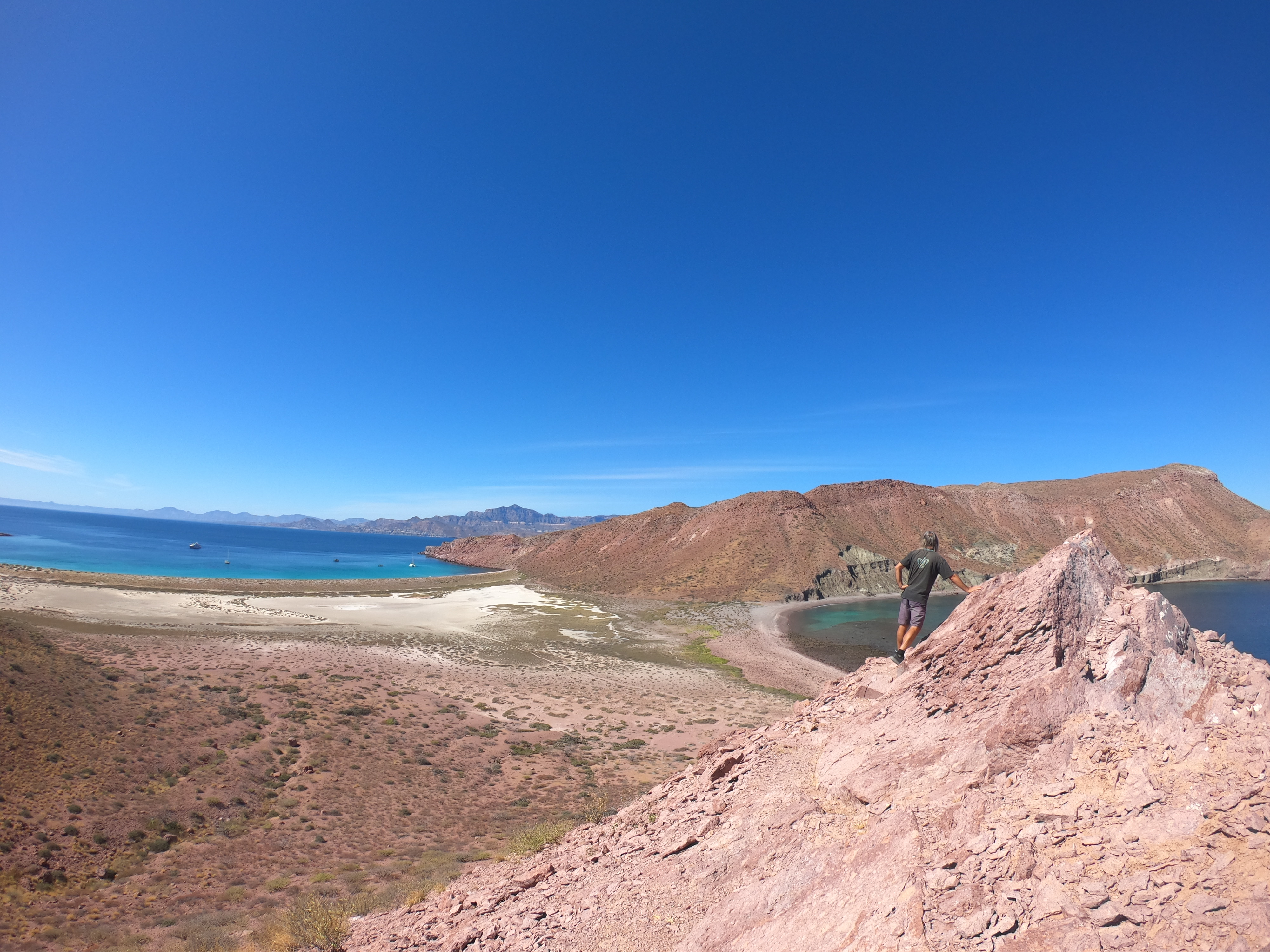
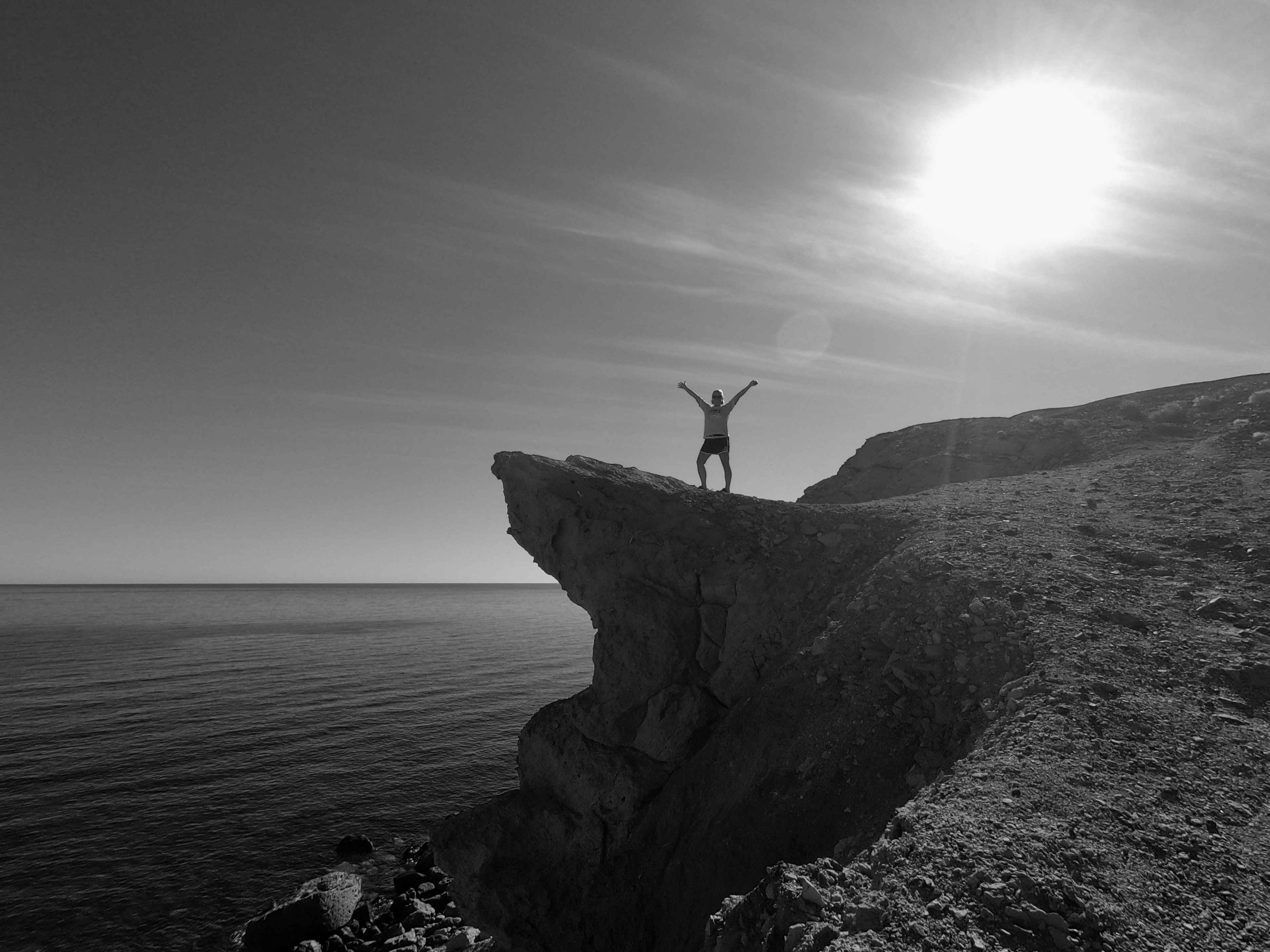
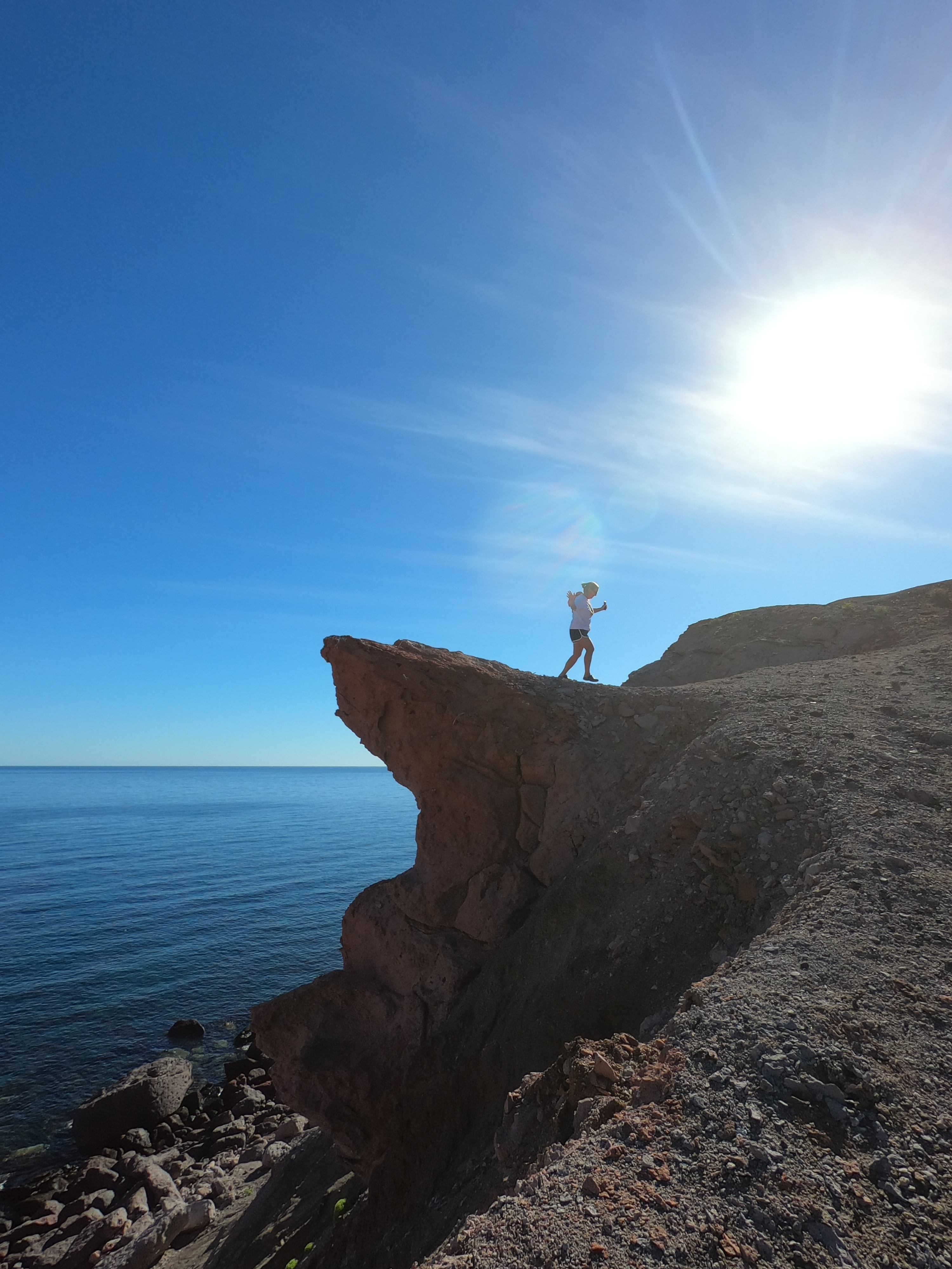
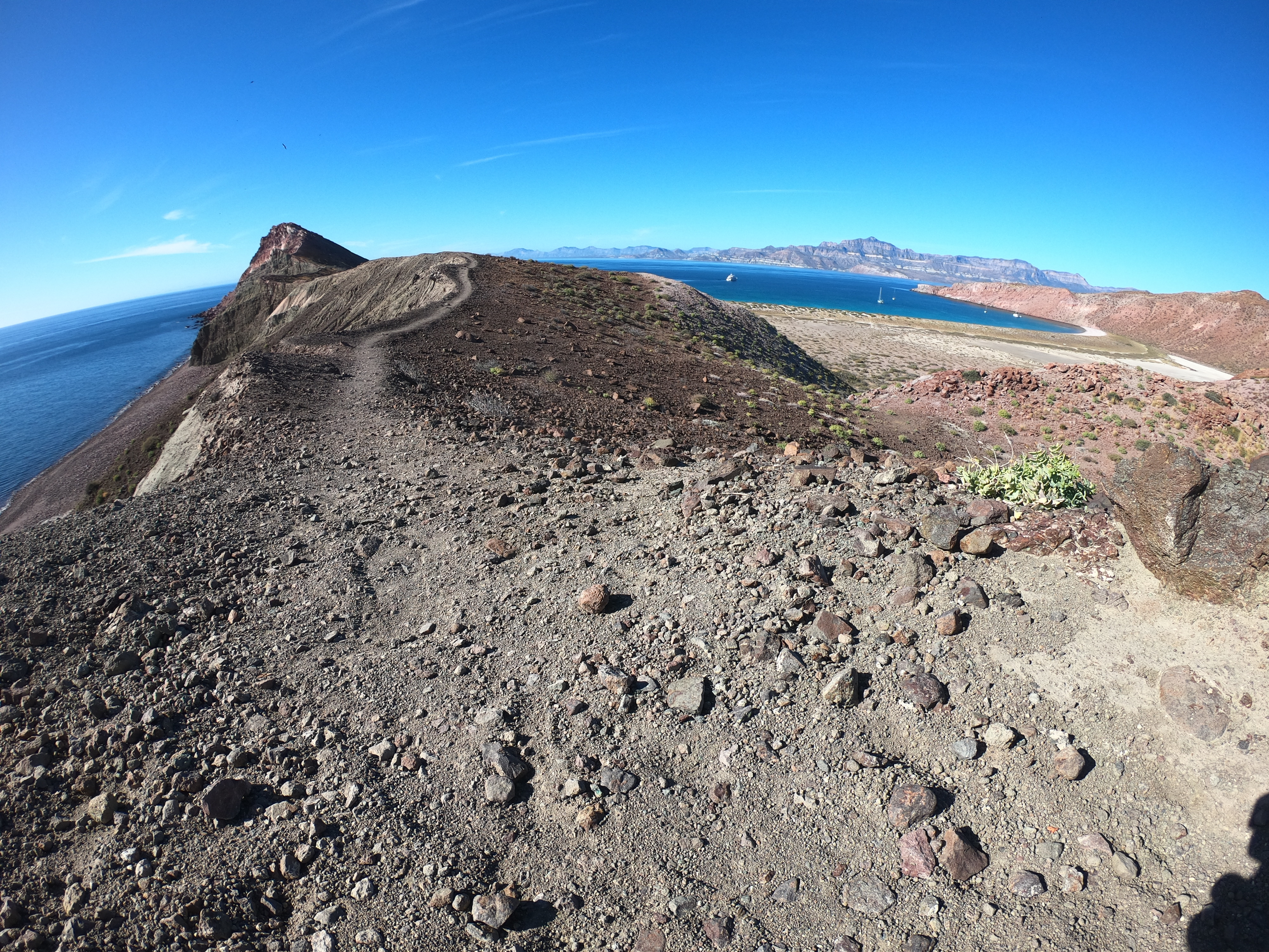
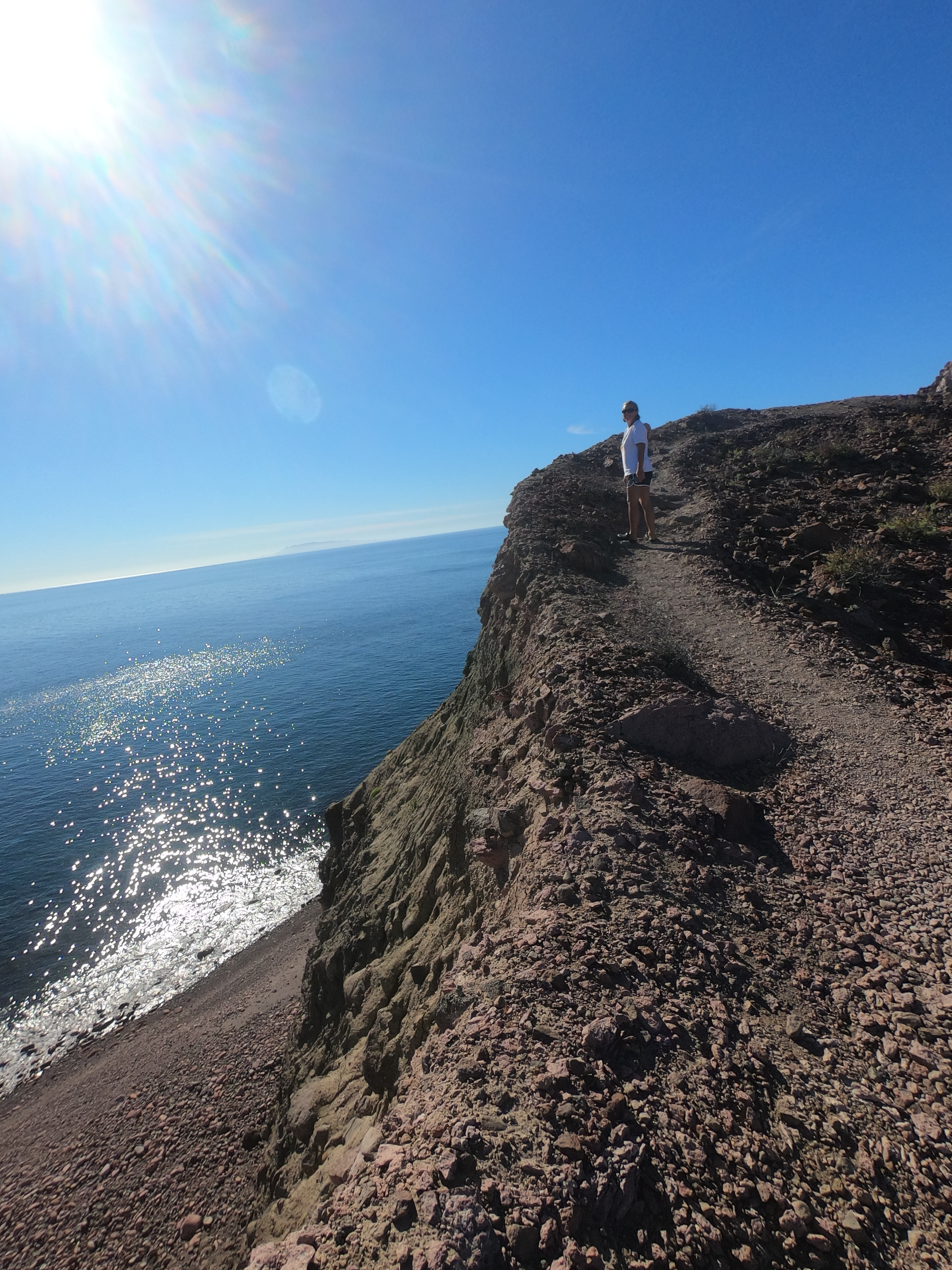
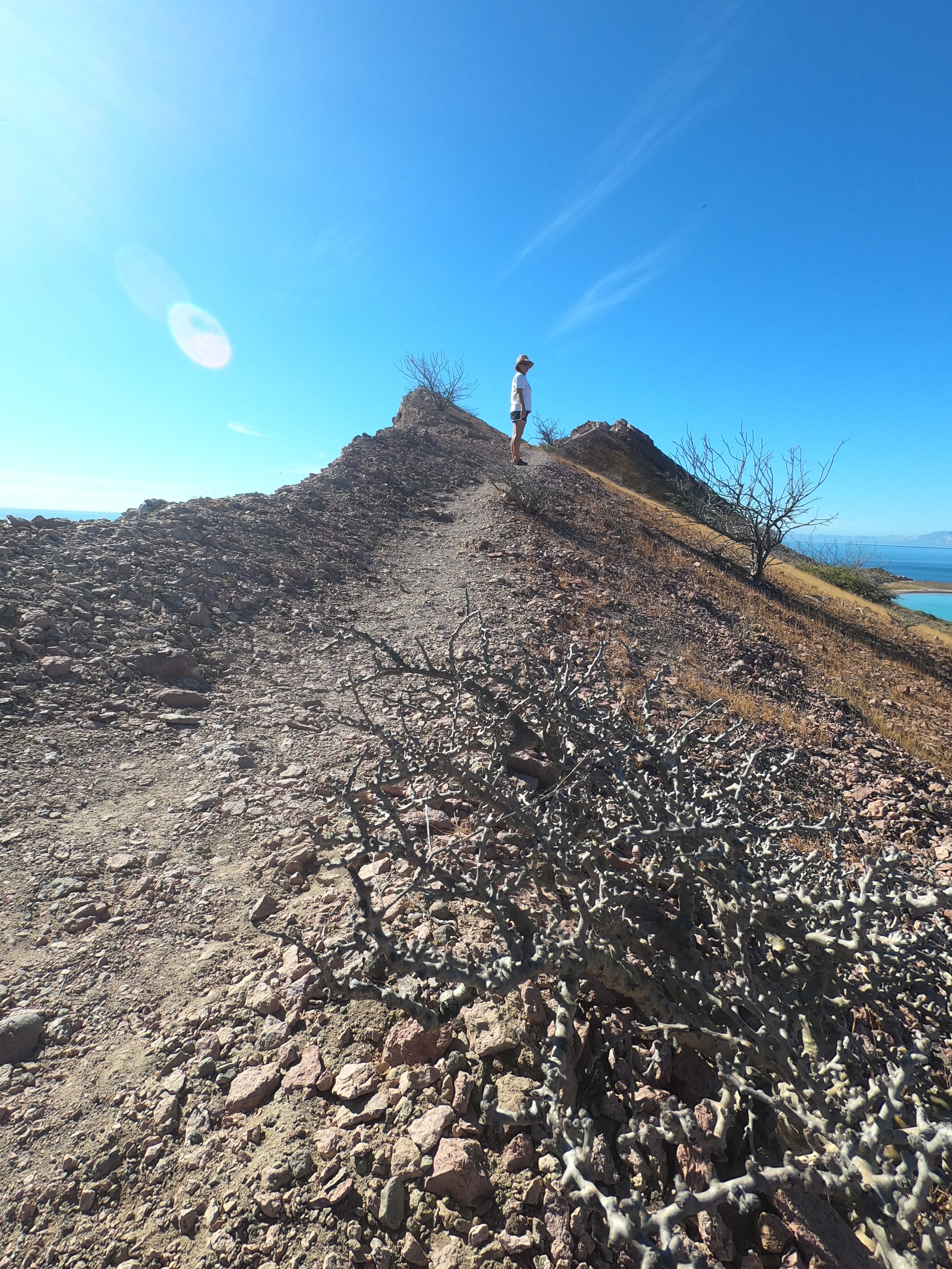
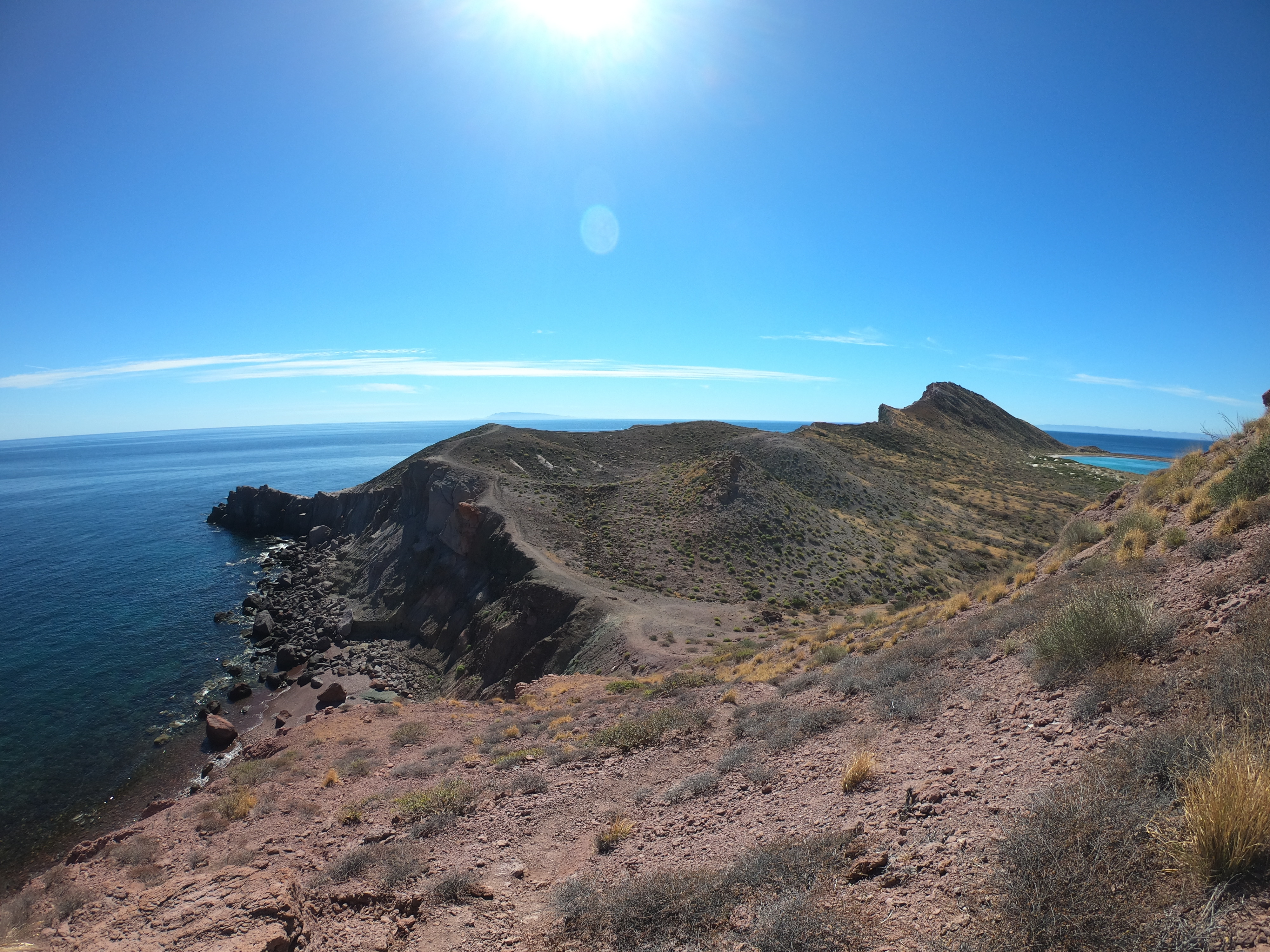
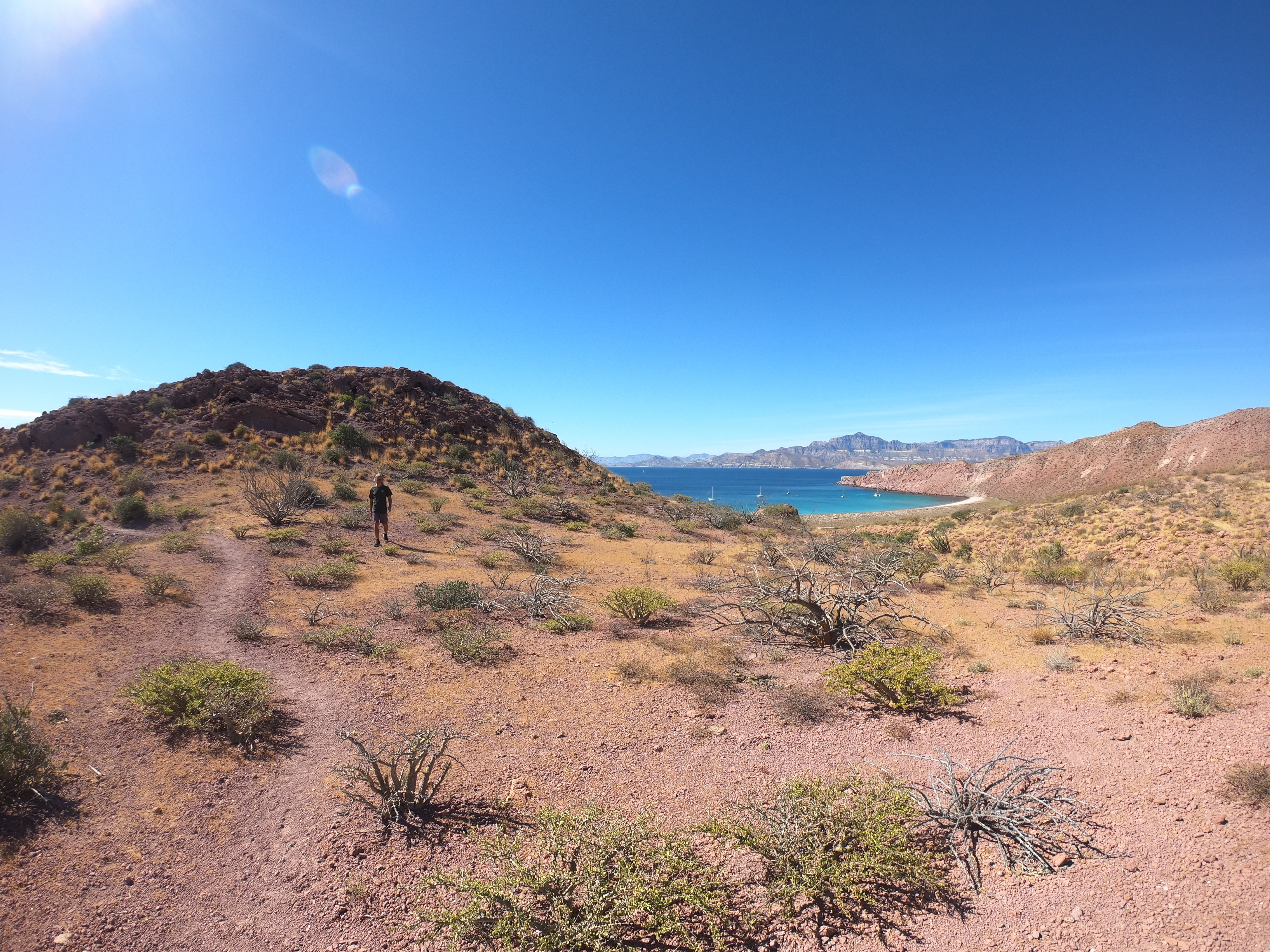
A number of trails winding around the southeast leg of the island provided an opportunity to get out and stretch our legs beyond the confines of Exit’s lifelines, as well as offering fantastic views from the surrounding peaks.


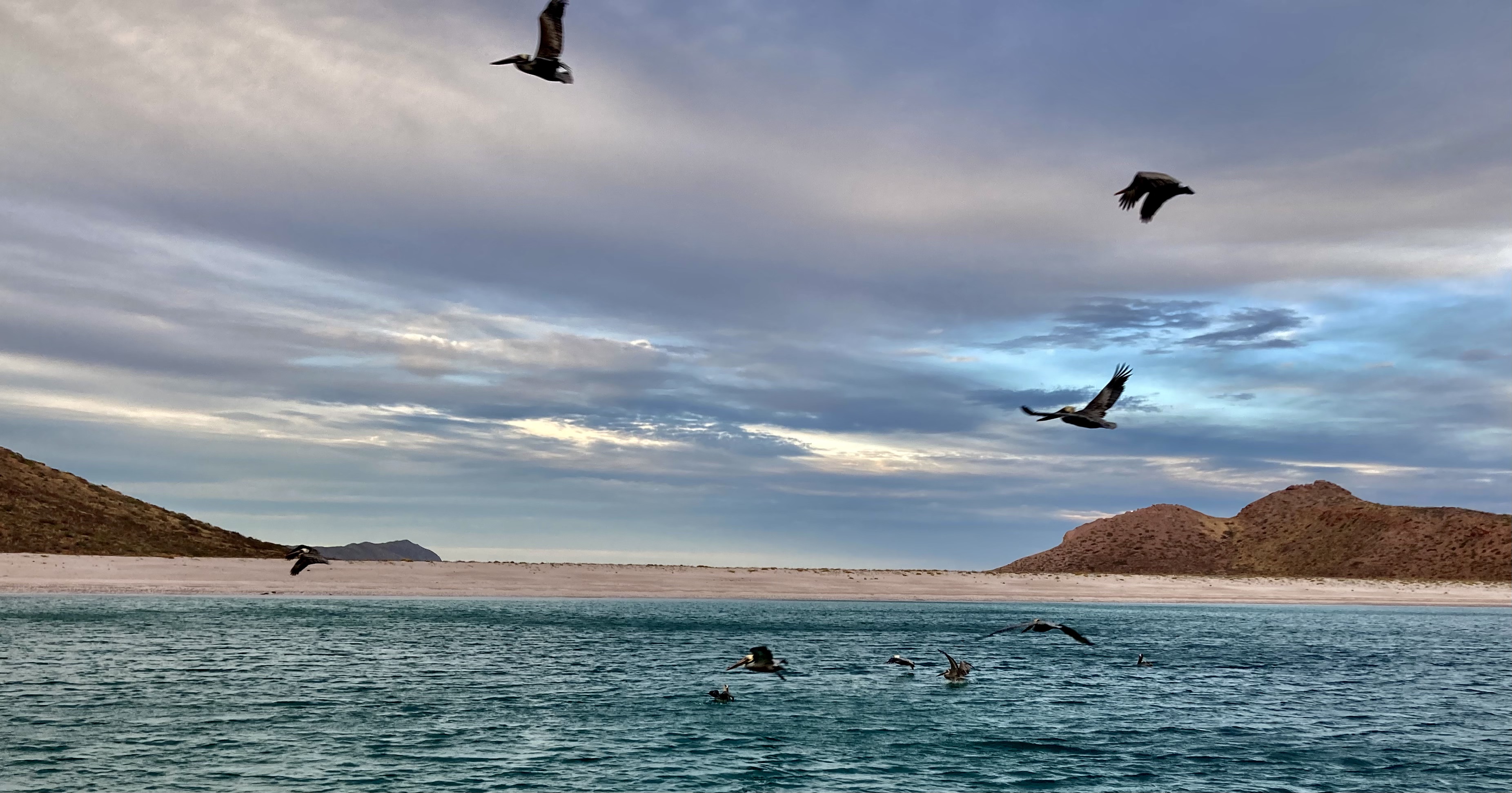
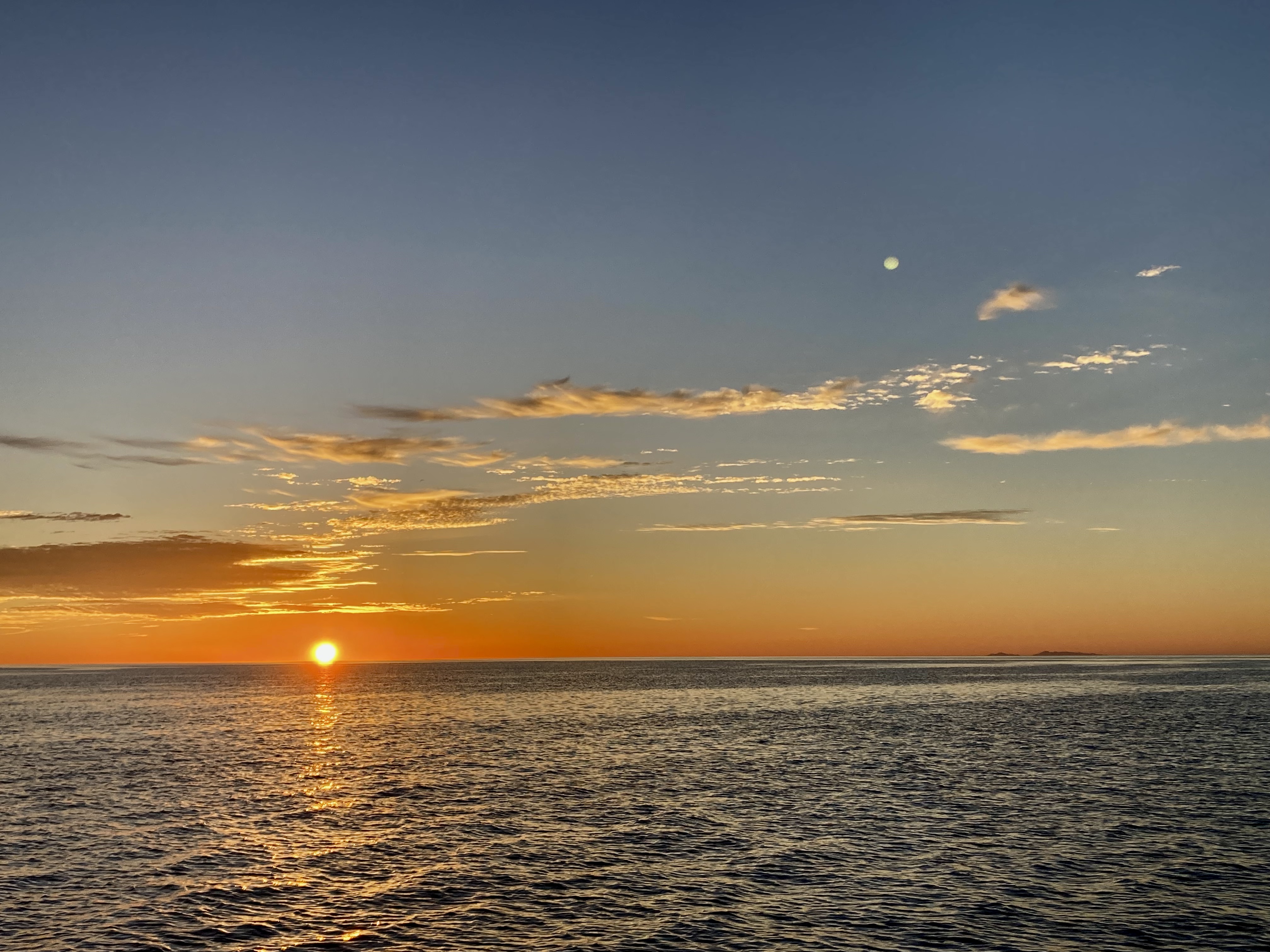
Later, sundowners in the cockpit watching pelicans hunt as the sun slipped over the horizon provided a perfect finale to the day.
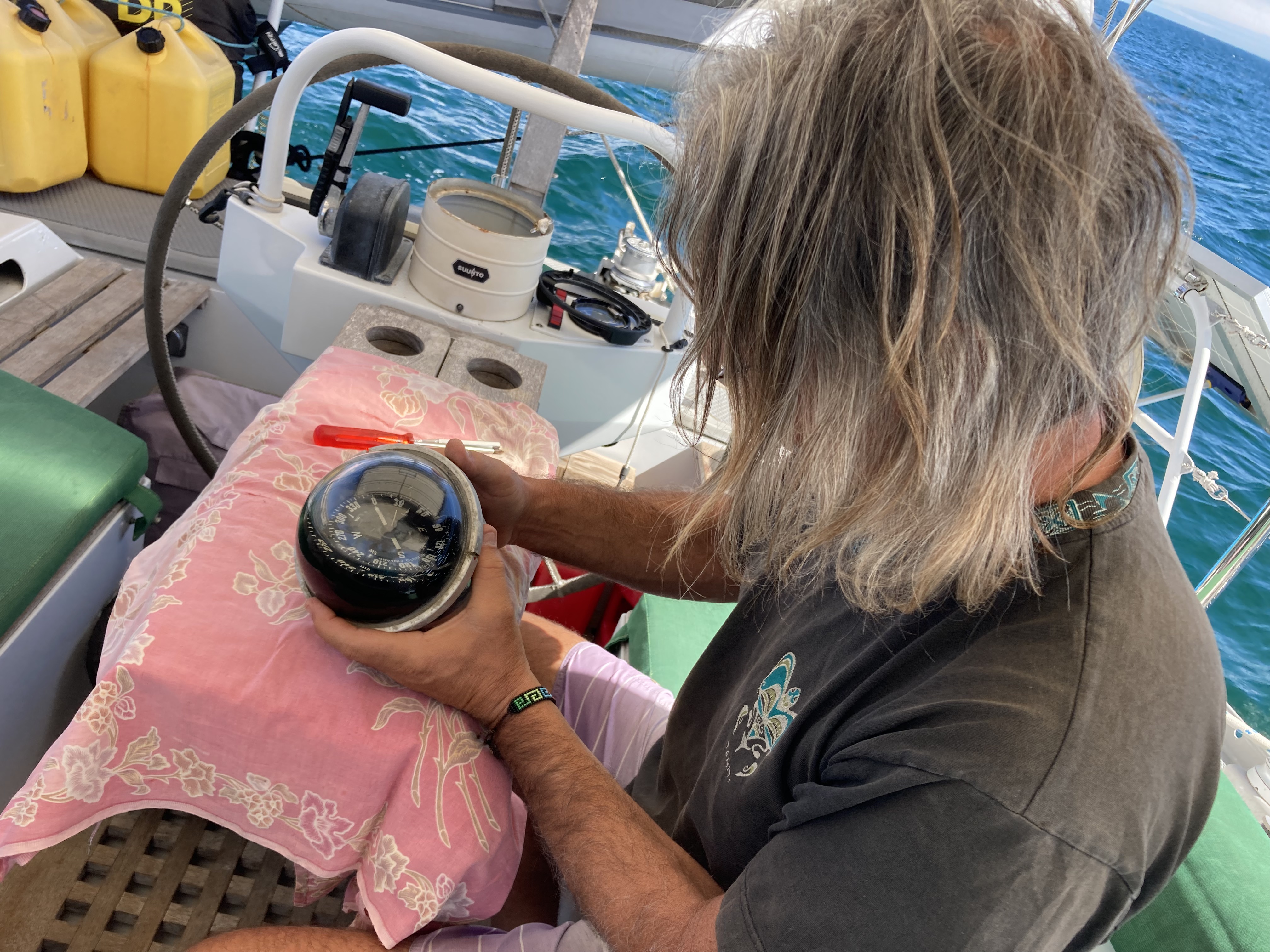
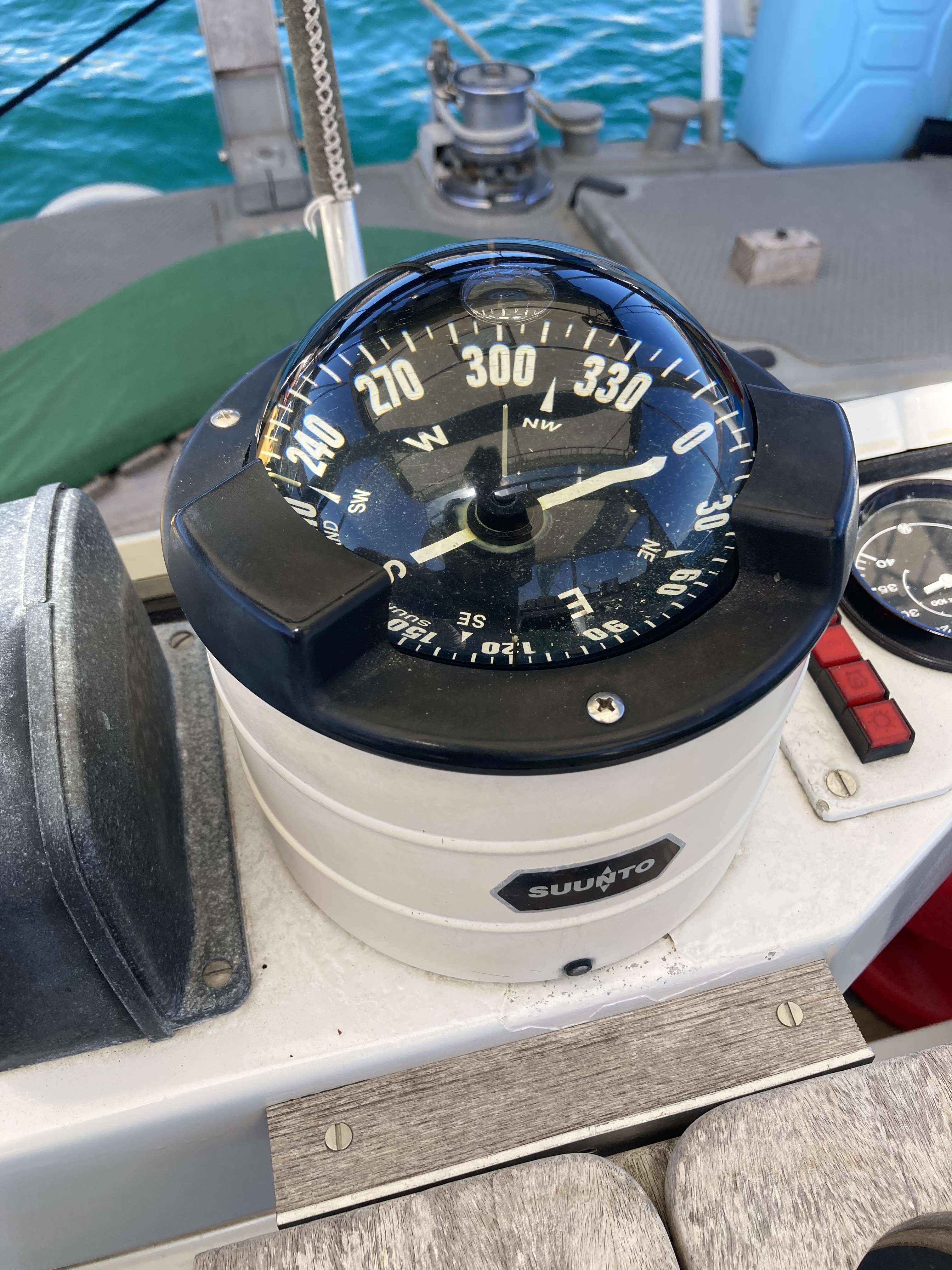
It was also one of the last sunsets we had to endure looking at our sickly compass, which was very possibly on one of its final headings. For the better part of a year, we had watched the fluid level inside the acrylic dome drop lower and lower. Now, it had finally gotten to the point where the center post was mostly exposed and there was very little fluid left above the compass card itself.

One of those moments of truth. Either I would be able to successfully refill the compass with fluid we had purchased just before transiting the Panama Canal, or it would be the final moments of life for our precious ship compass. Adding a $600 compass to our list of expenses seemed less than ideal…far less ideal than gambling on thirty dollars of compass fluid to stave off the inevitable.
After disassembling everything, it turned out a fill port whose aluminum threads had corroded away after long contact with a stainless bolt had been the source of the leak. Adding more of the correct fluid and a bit of silicone around the fill hole were the only things needed in the end. Our trusty Suunto lived to navigate another journey. Woohoo!
When all was said and done, it was a good day and victory was declared.
A few days later, when another northerly blew through, the islands rugged landscape we had struggled to traverse only a couple of days earlier now offered us additional protection from the building winds and waves.
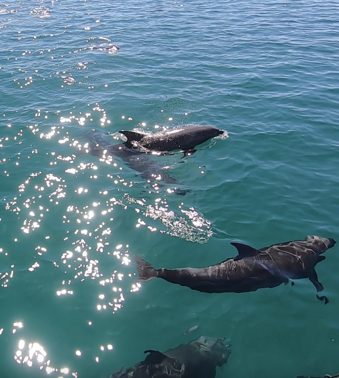
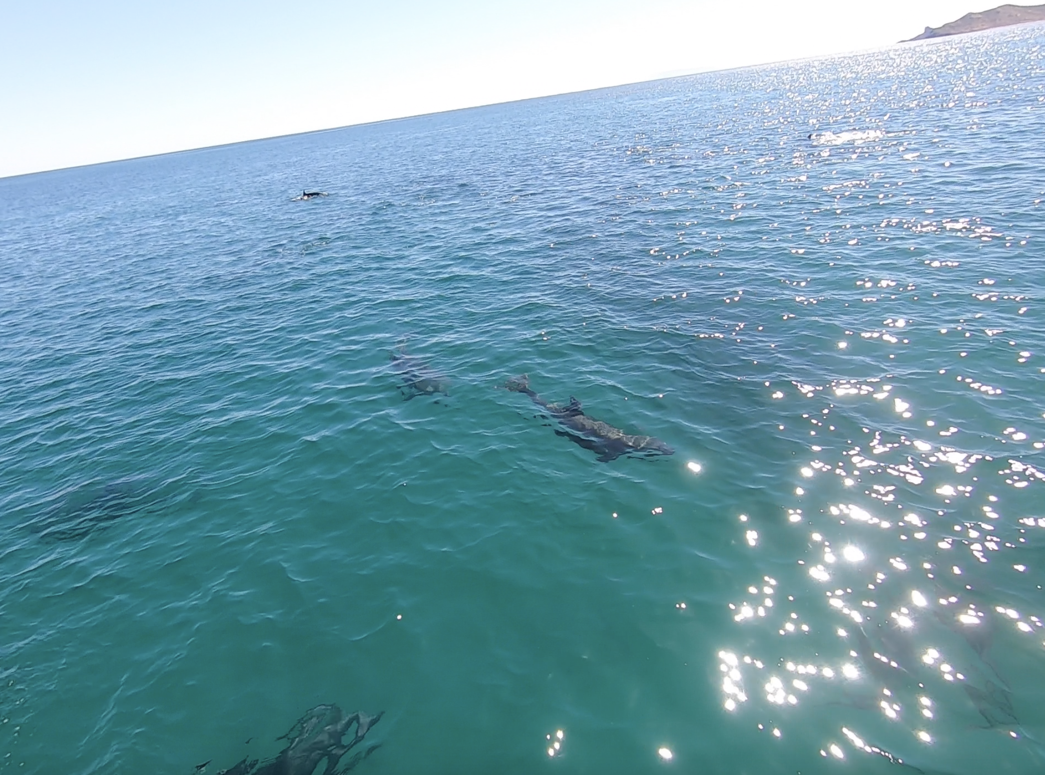
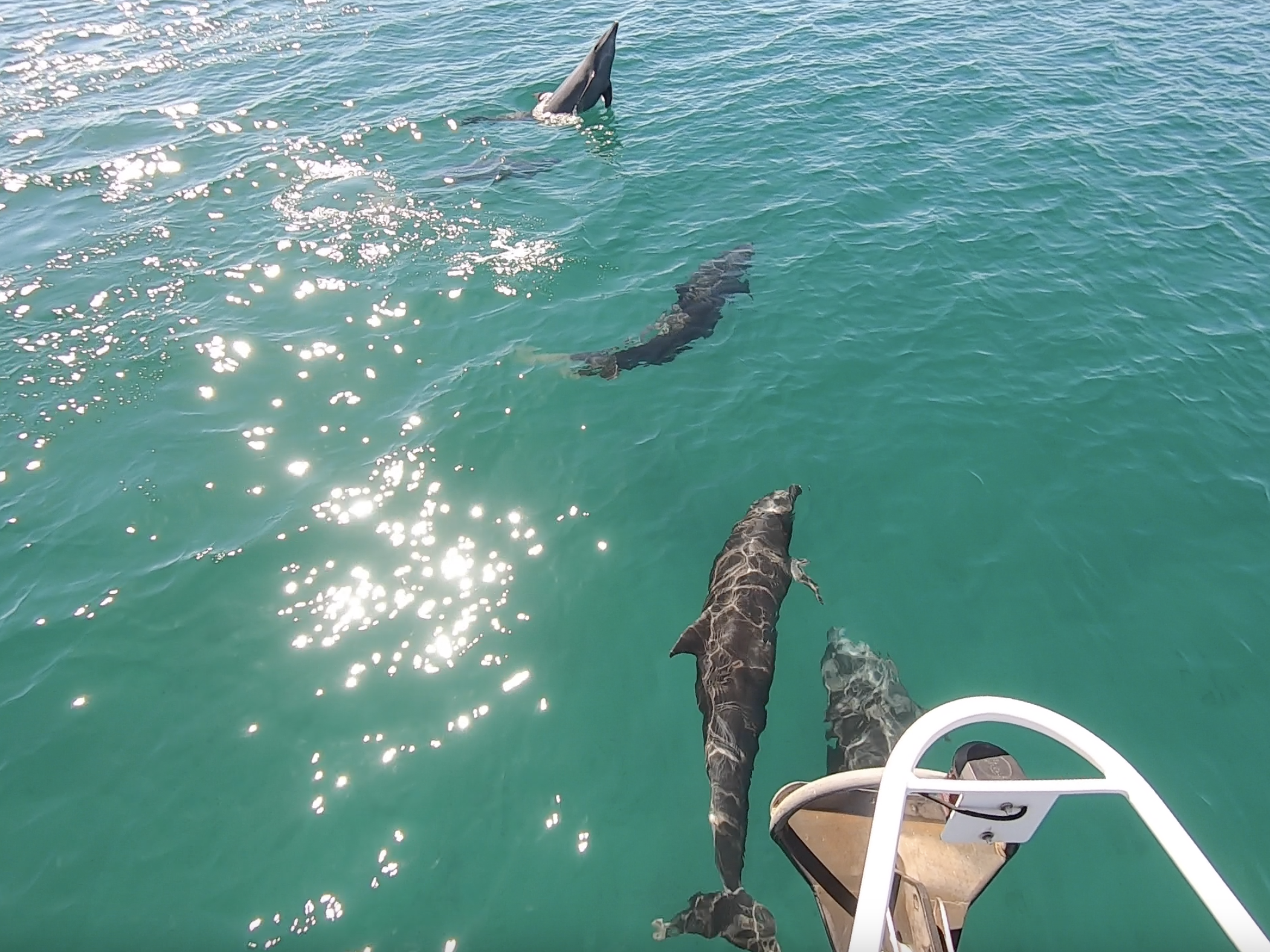
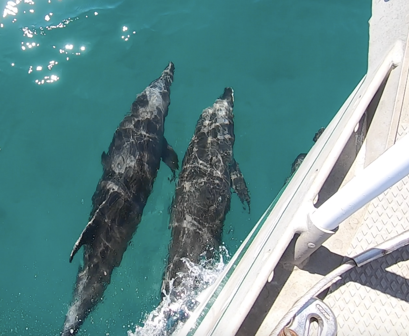
As the wind began to pick up, a group of dolphins visited the anchorage.
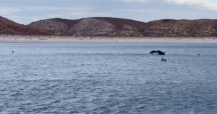
Eventually, dolphin lunacy ensued.
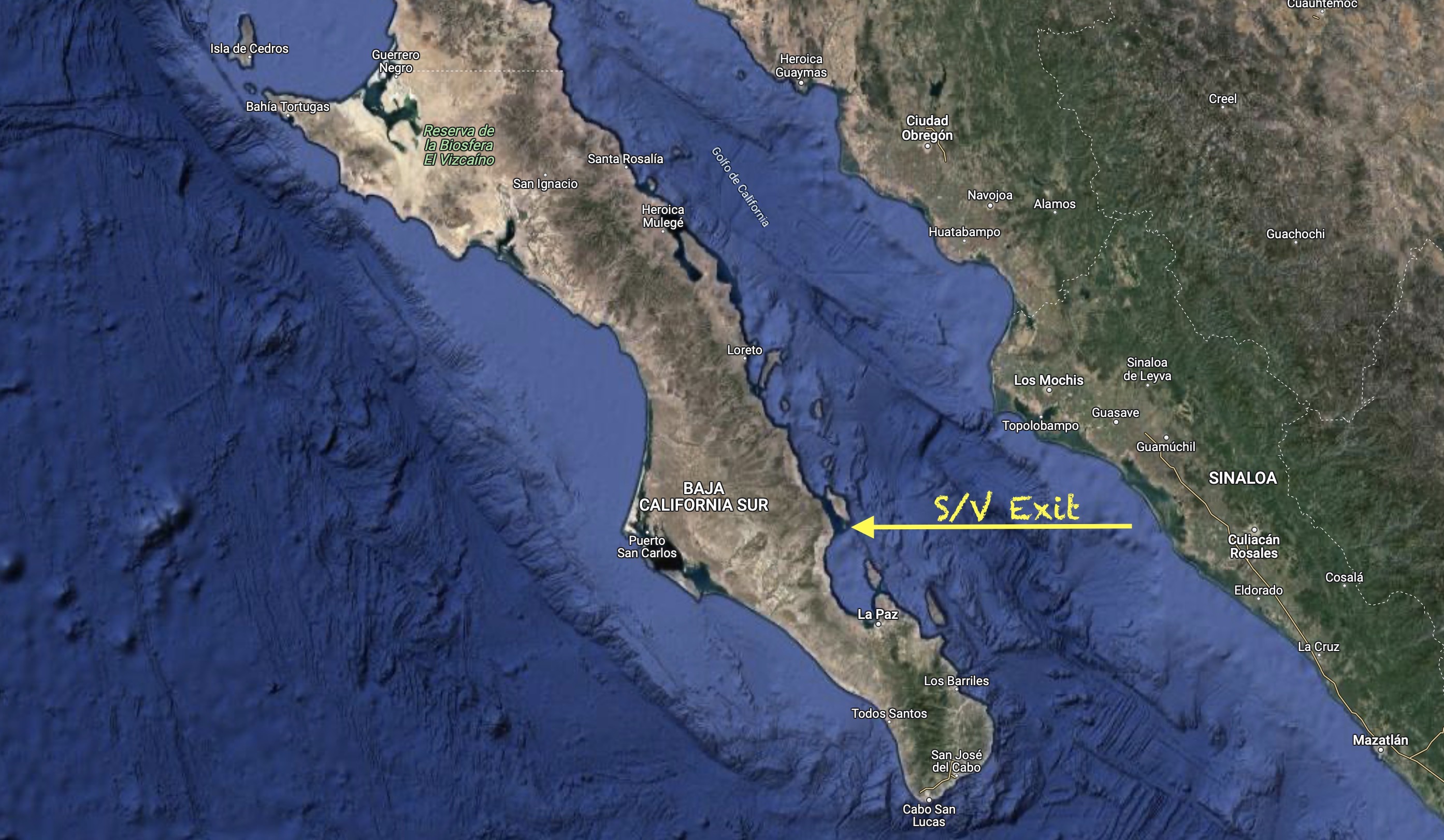
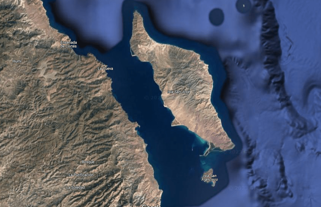
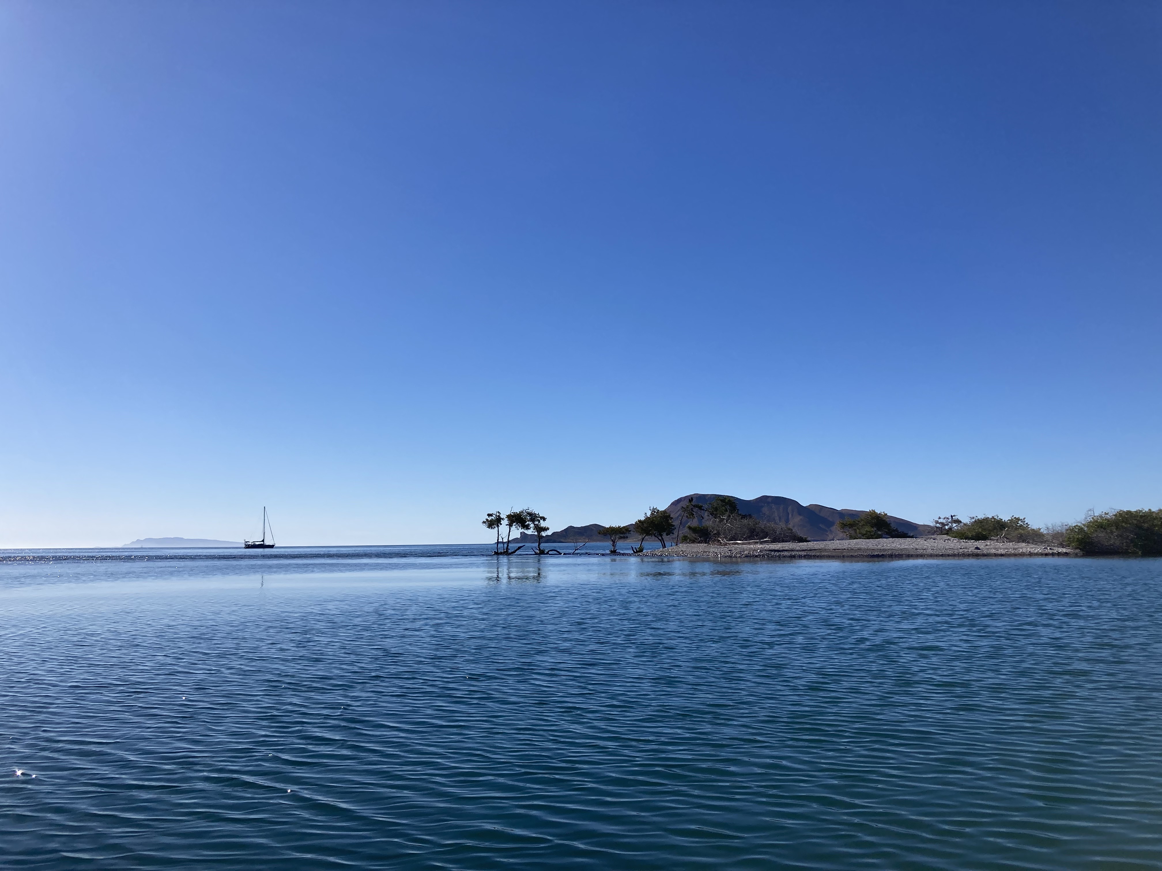
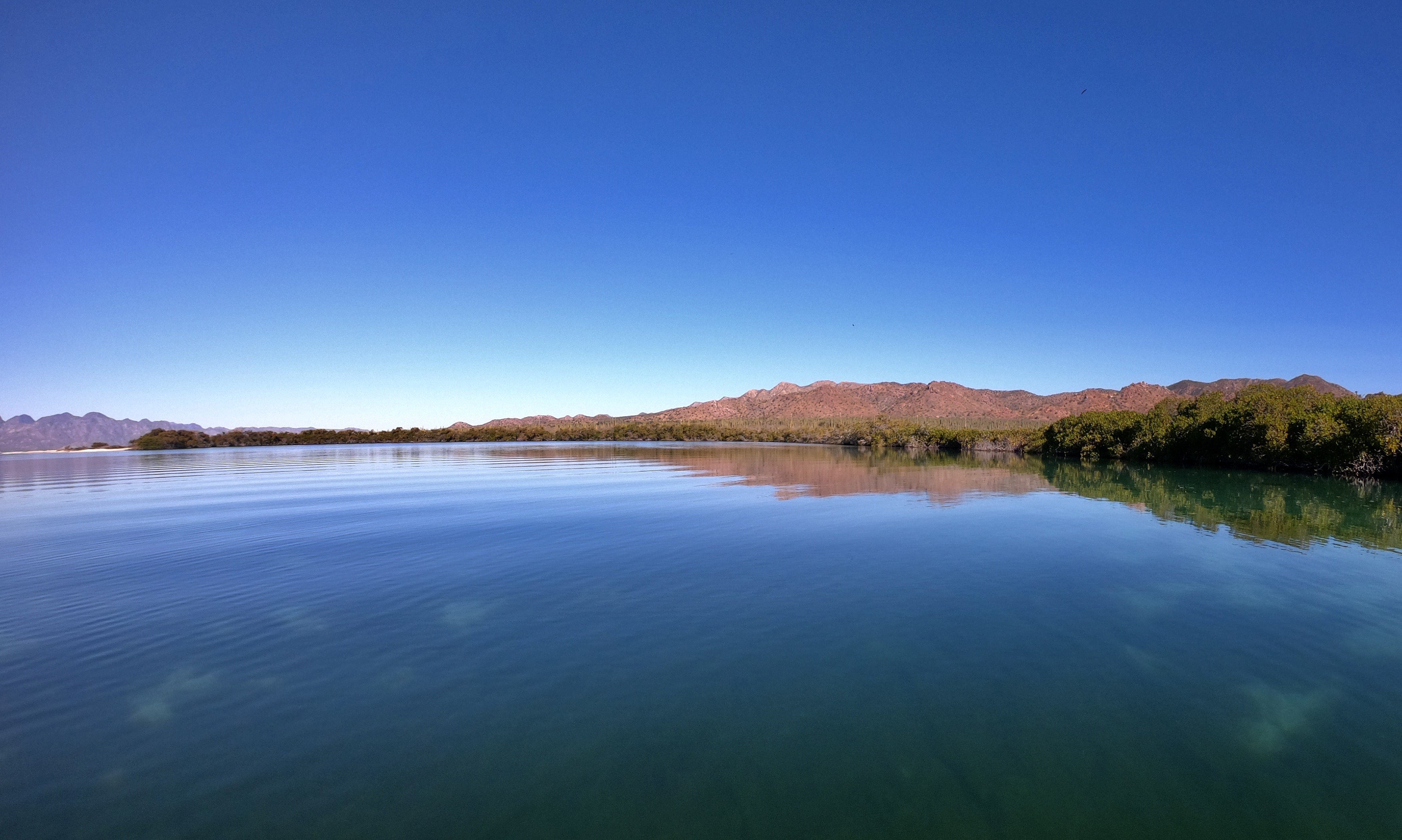
About five miles to the north of Isla San Francisco lies the much larger island of Isla San Jose. Between it and the mainland lies the San Jose Channel, purported to be a superhighway for whales transiting towards the Loreto area.
Though most of our whale sighting so far had been fleeting and rather distant, we remained hopeful, optimistic, and patient.
On the other hand, dolphins seemed to be much more abundant both in their number and their curiosity.
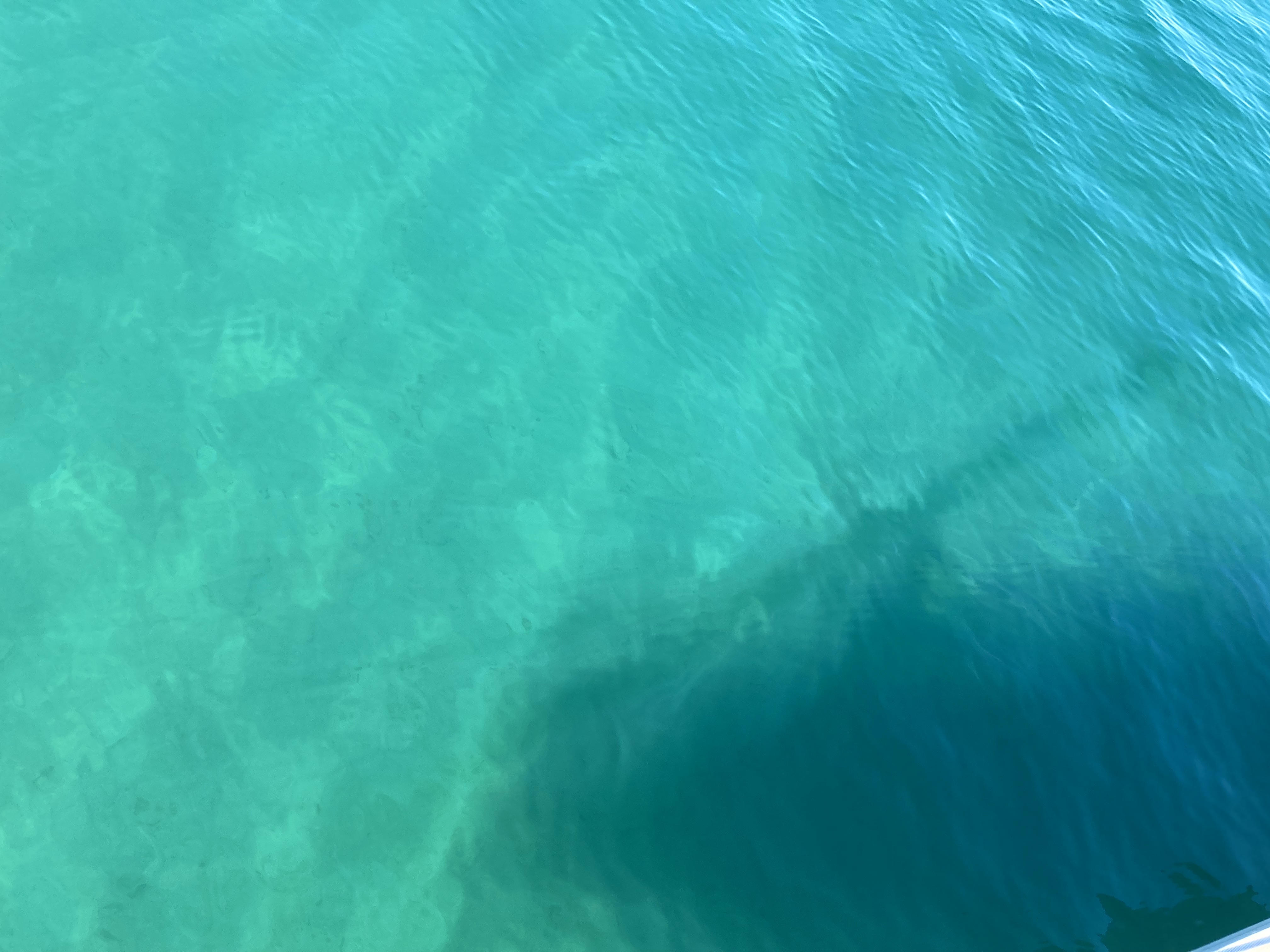
No matter how many times it happens, a visit from dolphins while underway is ALWAYS a magical experience. When the water is exceptionally clear, it makes things even more surreal.
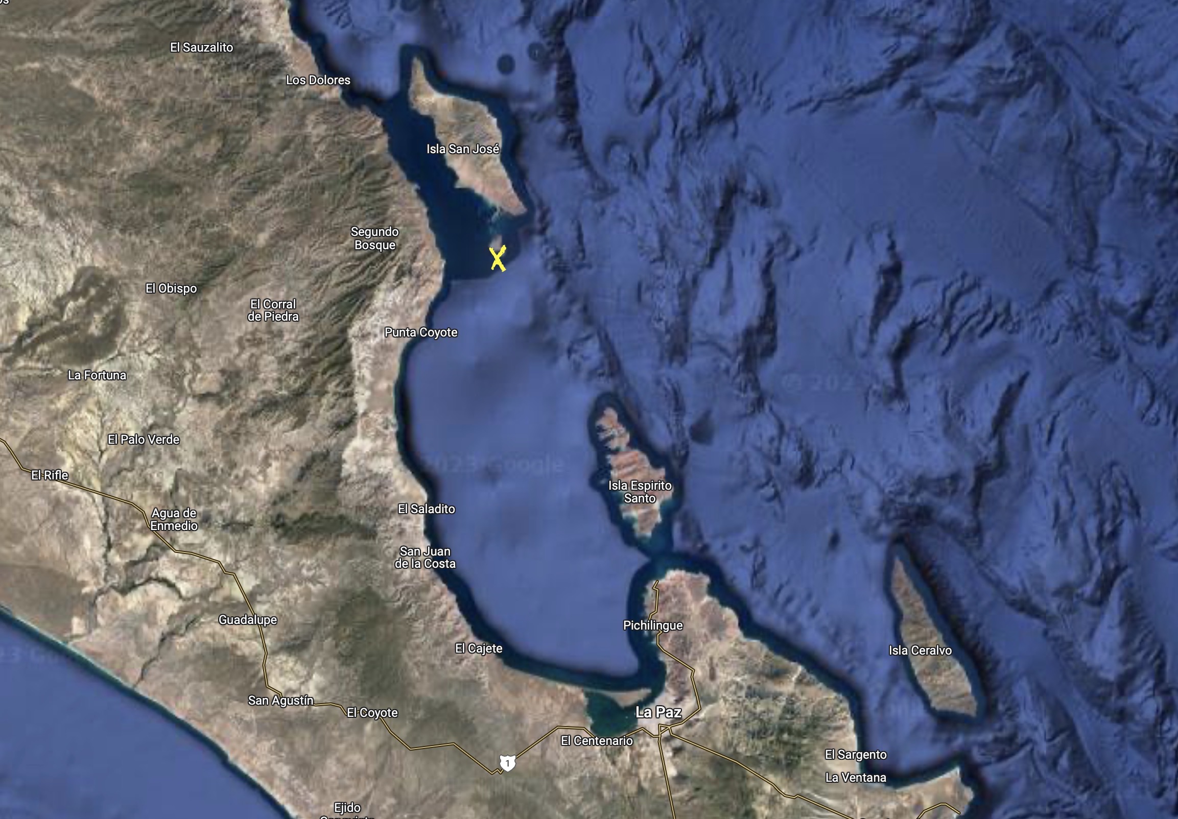
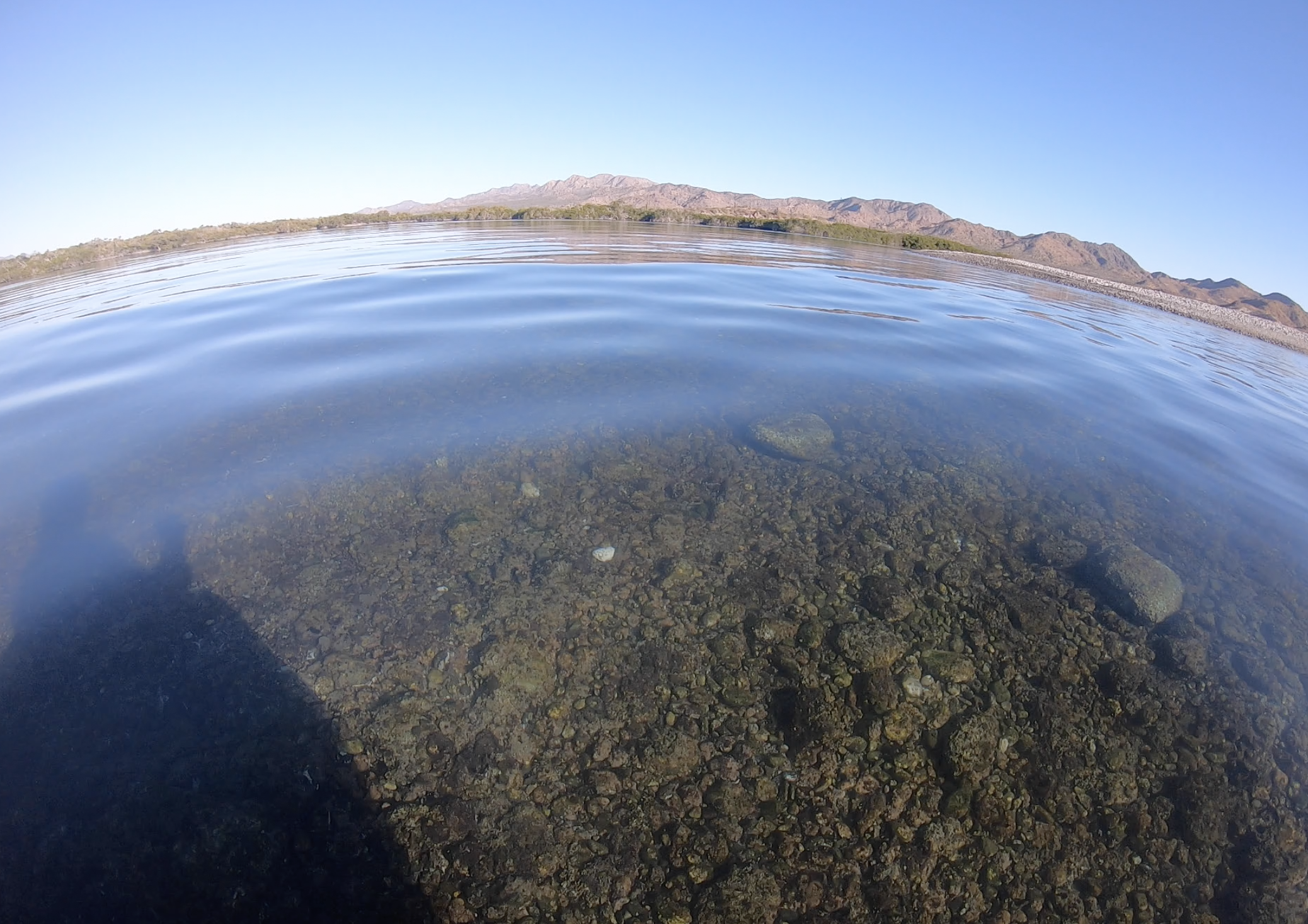
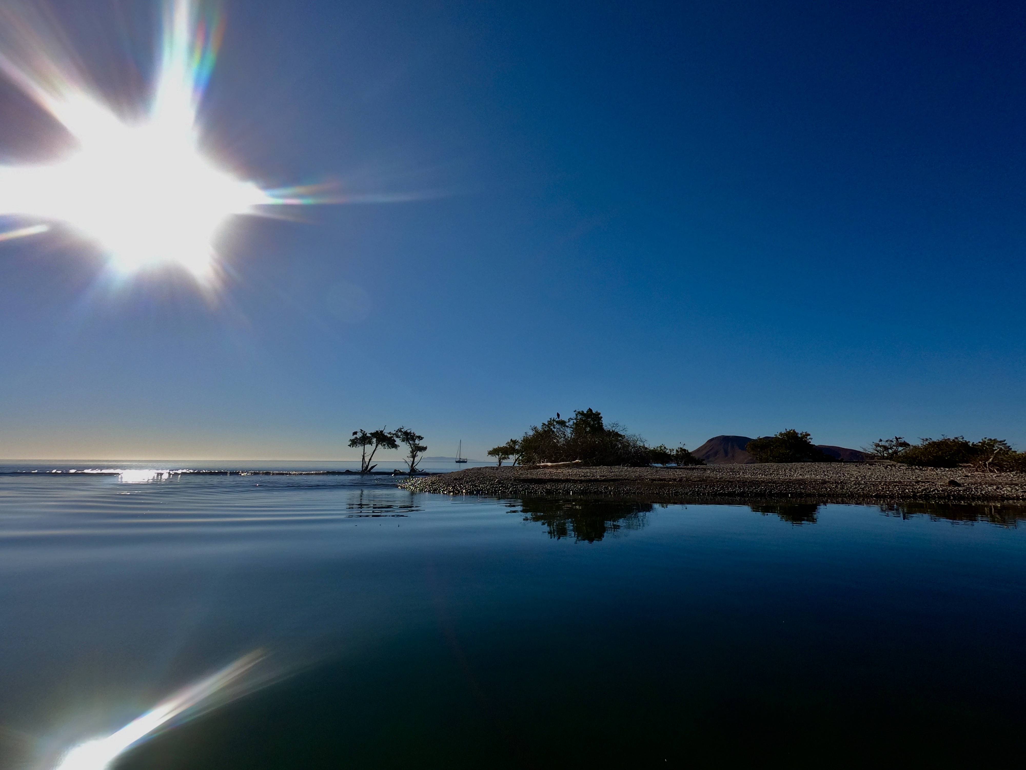
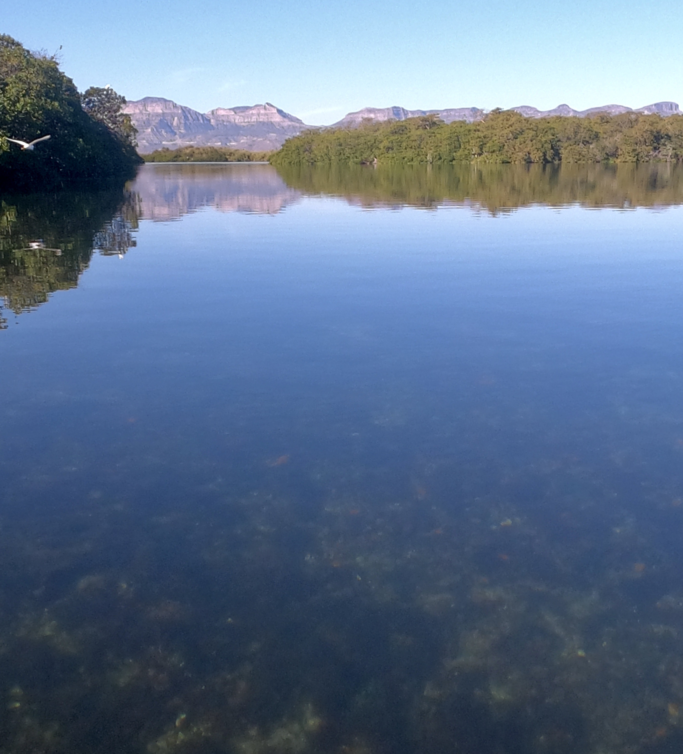
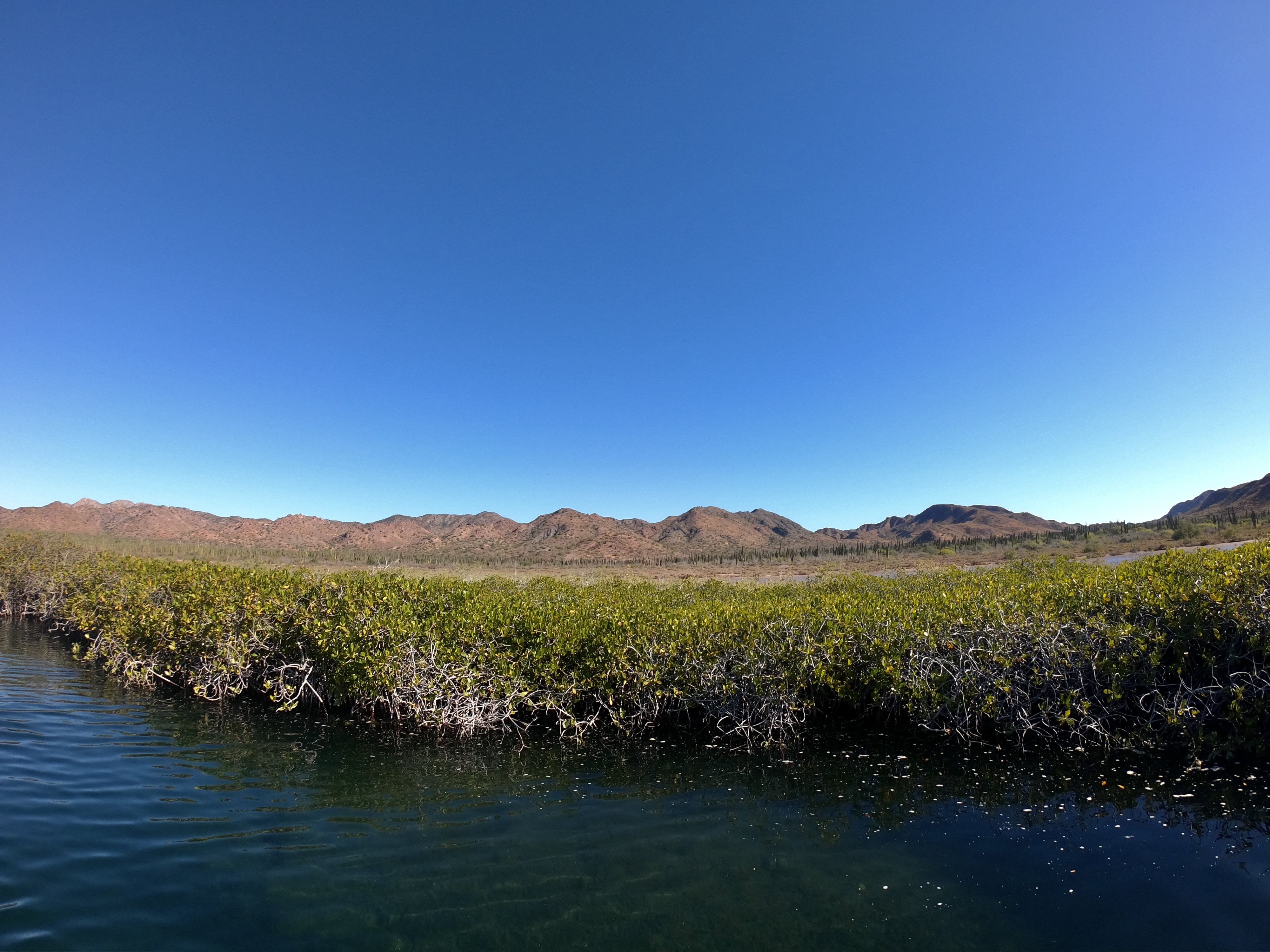
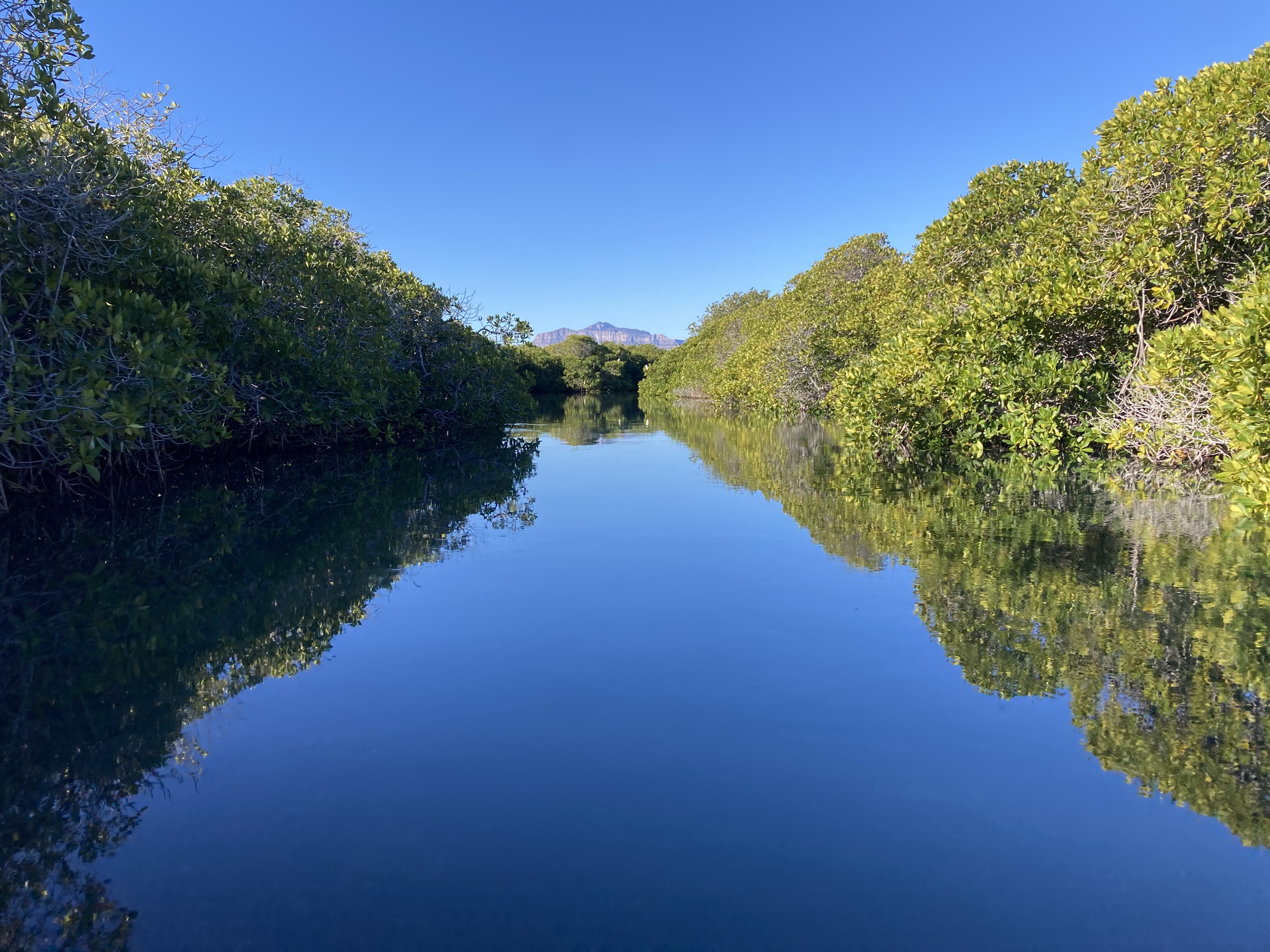
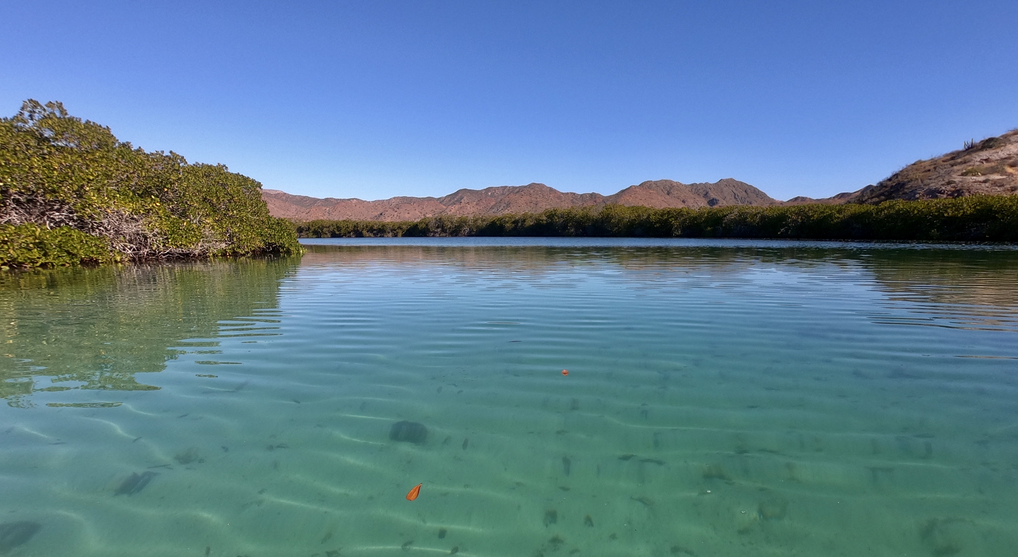
Bahia Amortajada was our stop at the southern tip of Isla San Jose. We hoped to make a dinghy excursion there to access a mangrove lagoon.
From above, images of the lagoon almost looked to be more the result of human design and construction rather than natural science, evolution, and geology.
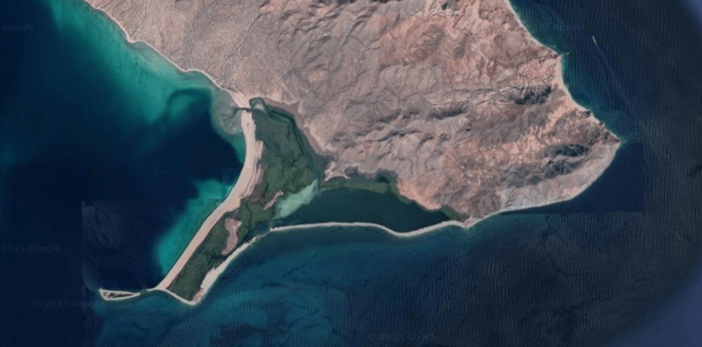
There was only a brief period during the highest tide that afforded enough depth for dinghy access across the rocky bar separating the mangrove system from the outside anchorage area.
Fortunately, high tide was right around sunrise. With an early start, we could get across the entrance, spend a little while exploring the mangrove, and then get back out without ever getting out of the dinghy.
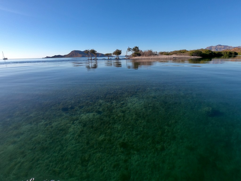
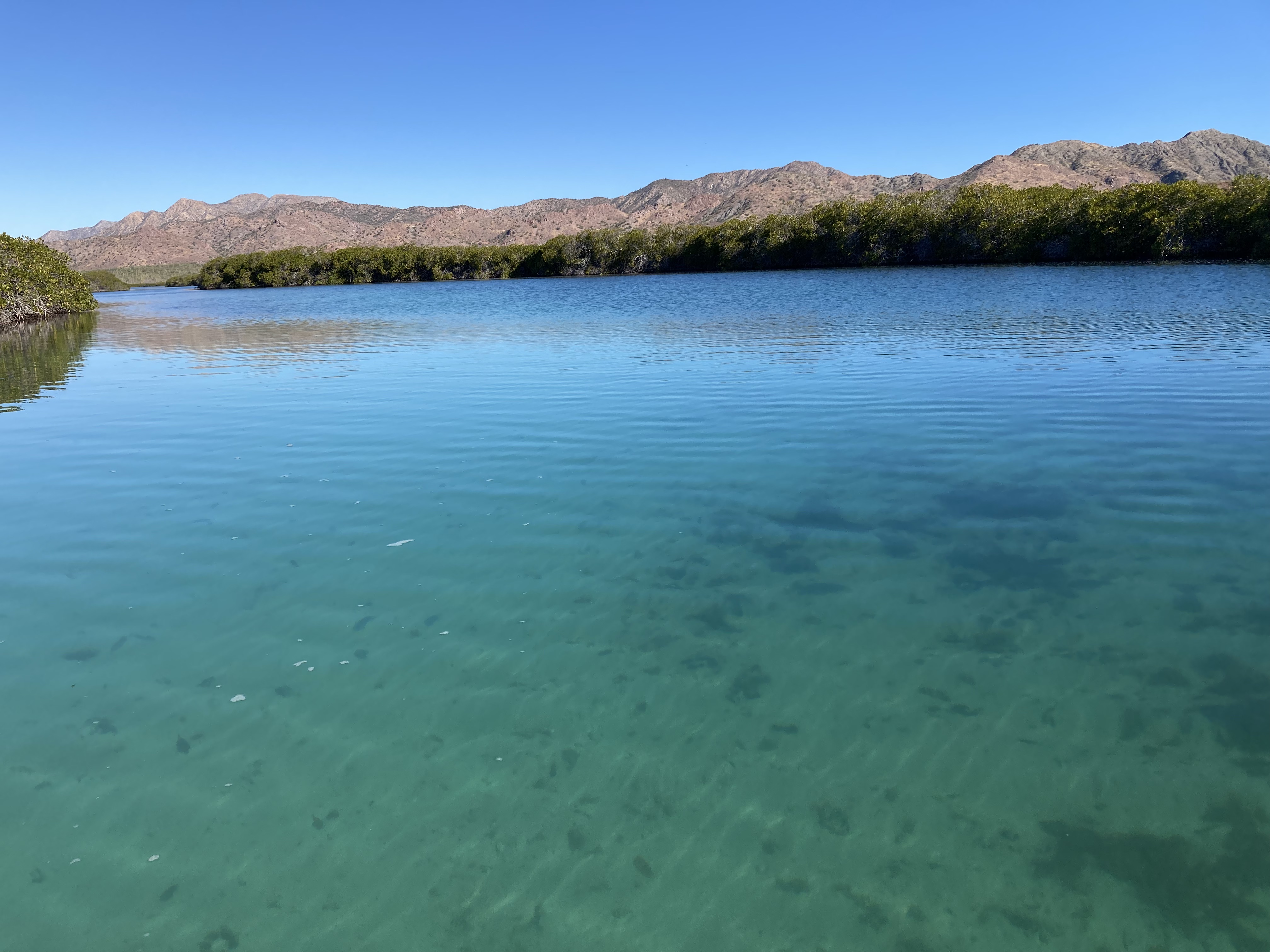
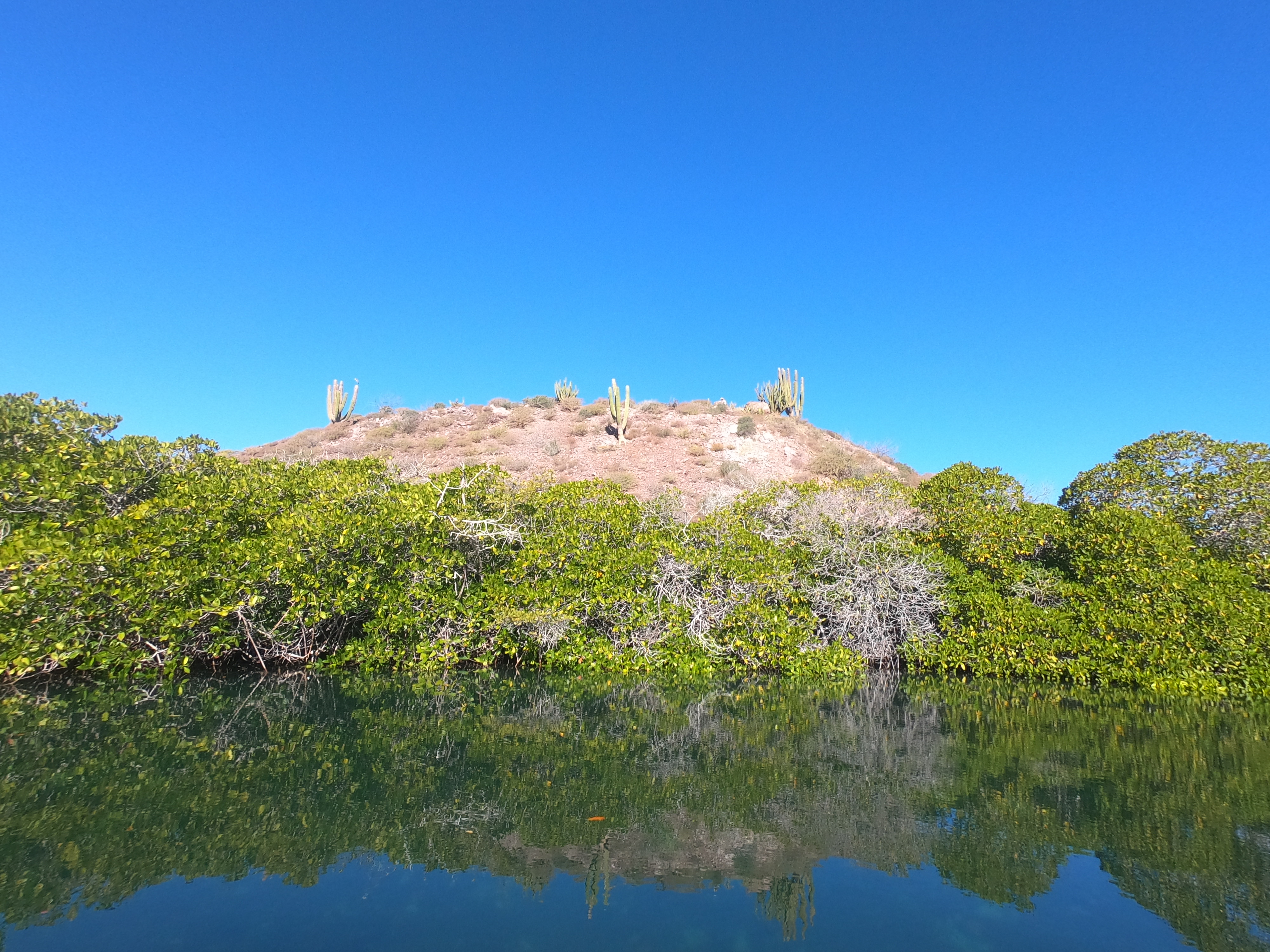
The mangrove just inside the shoreline at the anchorage transported us to a setting more like Bocas Del Toro in Panama than the landscapes we had been getting used to seeing here. Once inside, it was its own completely isolated world.

Of course, when you are in the middle of no where for the first time, it can be quite challenging determining the exact timing of tides, precise depths, and best paths to navigate.
Guide books like Sea Of Cortez (by Breeding & Bansmer), as well as information posted in the Navionics anchorage indications, can prove incredibly helpful when it comes to gaining a general understanding and awareness of things.
But sometimes, given a situational lack of actual local knowledge that is also recent, you just have to wing it.
We’d estimated about how long we thought we’d have to get in and out of the
Approaching the shallow, rocky bit we had to get across to get out of the mangrove lagoon, we could see it was going to be close. We just couldn’t tell exactly how close. It definitely looked like the tide was lower than when we had entered.
A momentary convergence of an infinite number of observations, estimations, calculations, and assessments — all with the end goal of avoiding running the dinghy aground. What appeared to be the deepest route, quickly became the chosen path as the current picked up almost immediately and committed us. The exact composition of the bottom became more and more vivid as the water grew more and more shallow.
And it goes without saying that, when you improvise, the devil is in the fucking details.
Thankfully, we got the engine up in time and didn’t leave our prop on the rocks. A short time later that wouldn’t have happened, and we would have really regretted the fact we had forgotten to mount the dinghy wheels that morning.
All part of the adventure.
Upon returning to Exit we were treated to a comedic routine we saw play out again and again both at anchor and miles offshore. A group of what we referred to as diving ducks (sometimes only a few while other times an entire army) passed by us, randomly appearing and disappearing in synchronized movement diving underwater and then reappearing at the surface again a short time later.
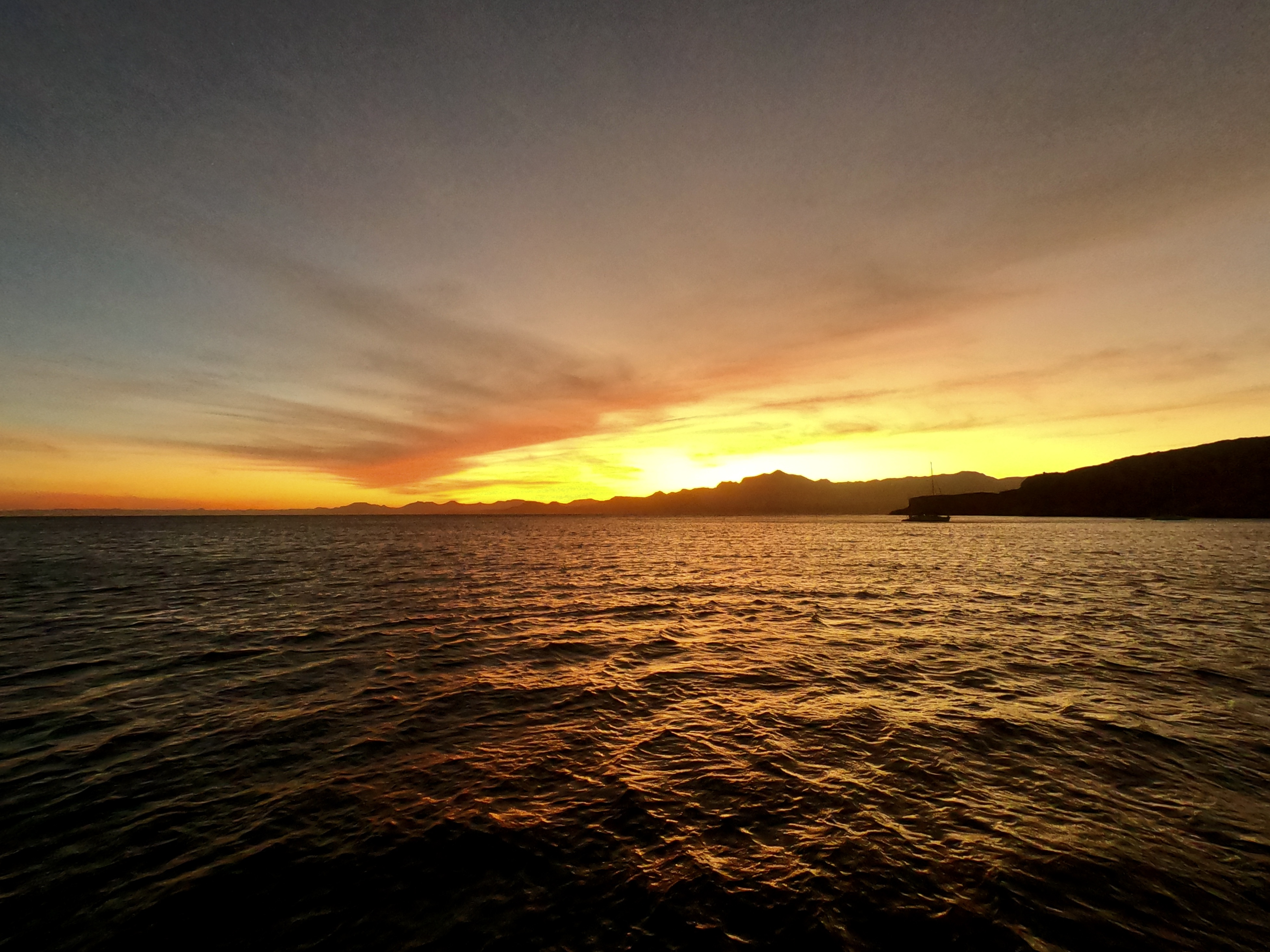
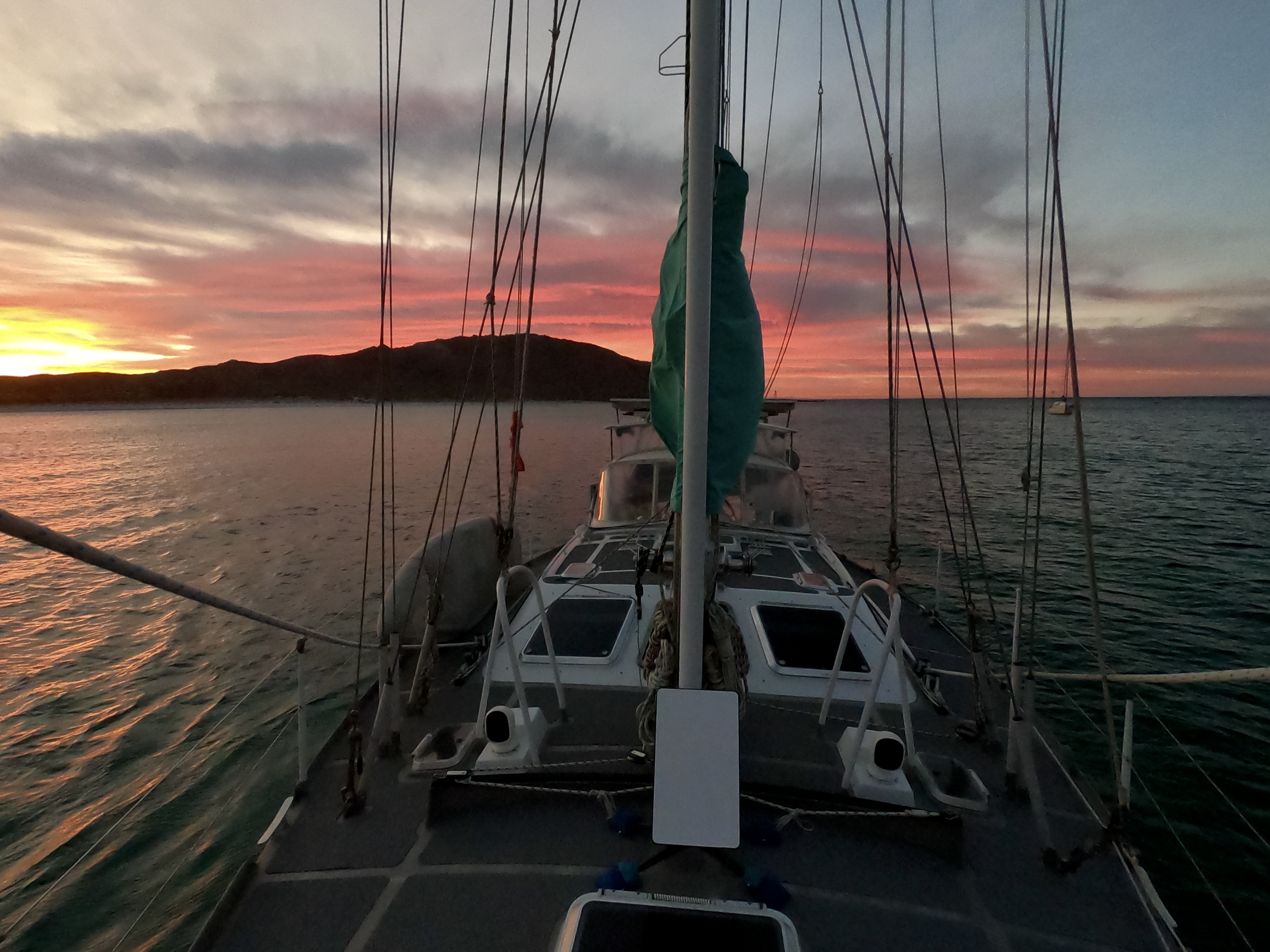
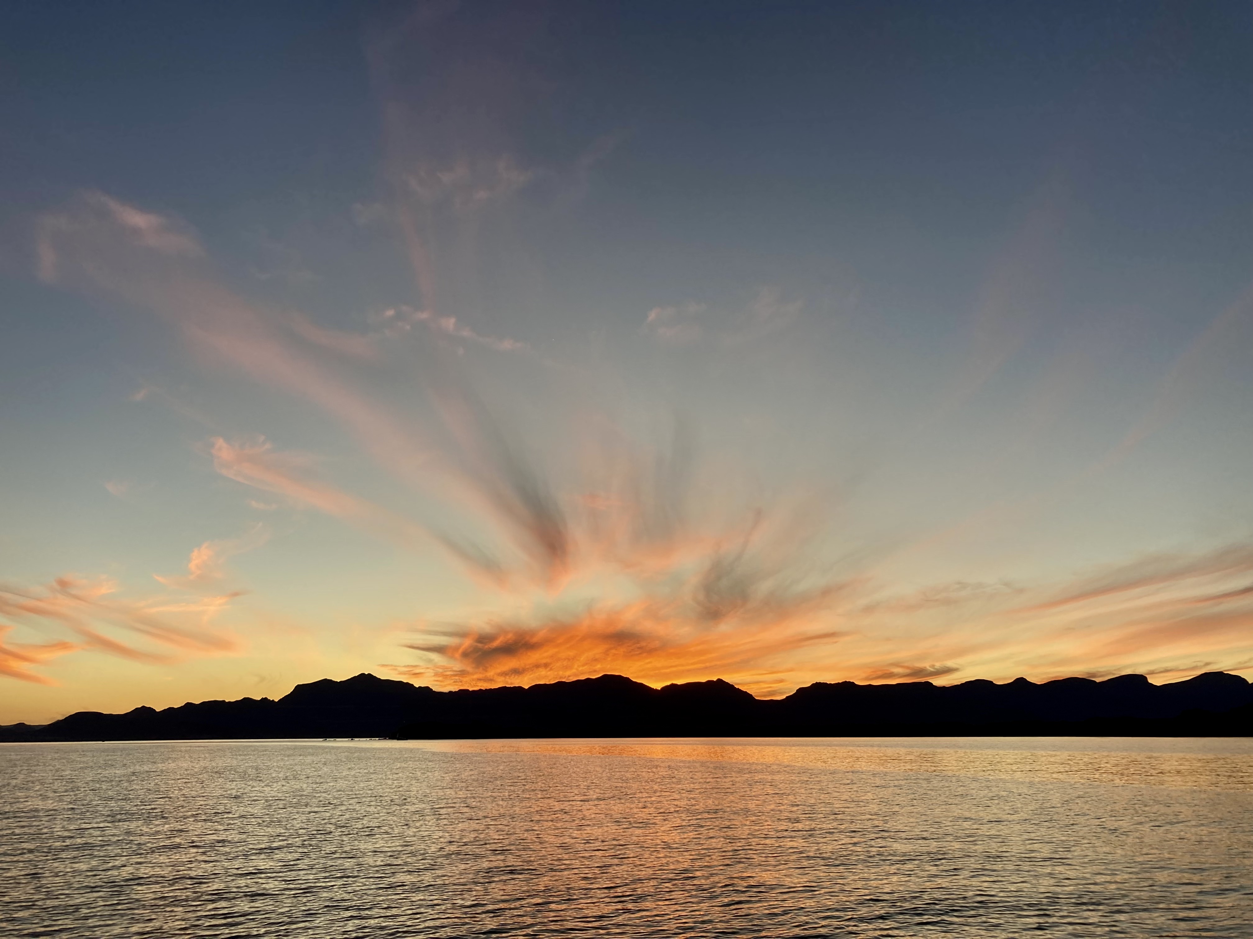
With the stunning Sierra de la Gigante range stretching along the coastline, sometimes it seems impossible to decide what is more striking – having the black silhouette of the mountains offering a foreground to a blazing sunset…

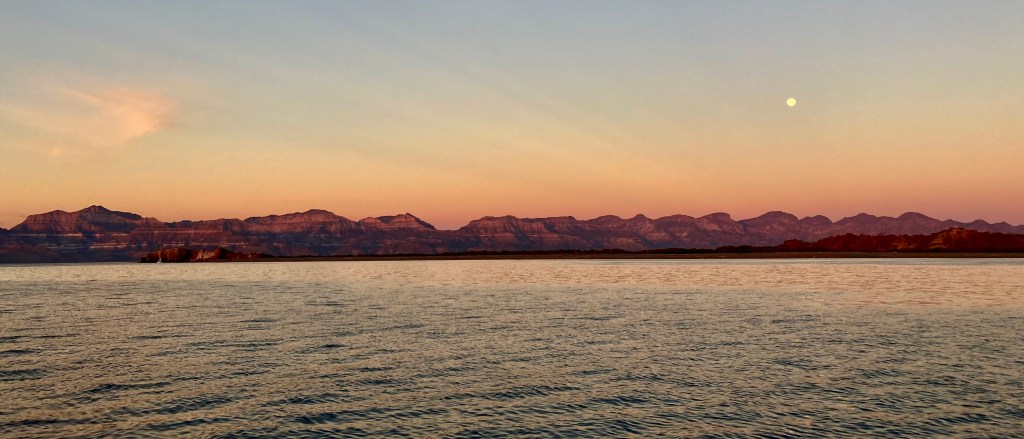
…or having same striking colors illuminating the striations of Sierra de la Gigante under the first light of a new day.

Despite the fact that we were thoroughly enjoying our current location, a brief southerly wind completely dislodged us from our sedentary position, allowing us not only the rare opportunity to sail, but to sail downwind…holy shit.

We only half-joke when we say that the only days we seem to be moving are on the days we’re going into the wind.
However, every now and again, it seems to work out.
